







Westweg: stage 10 east (Feldberg - Bärental - Weißenbachsattel)

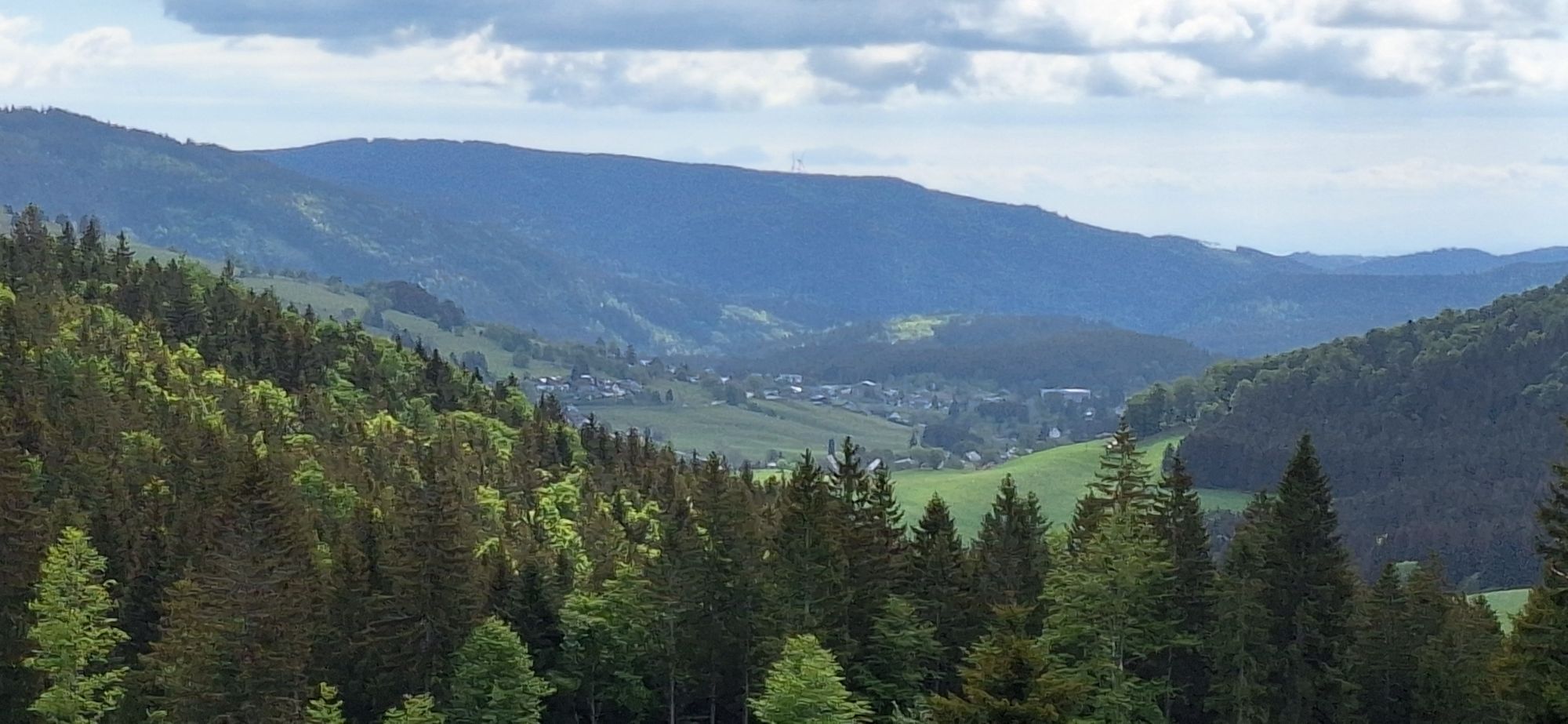
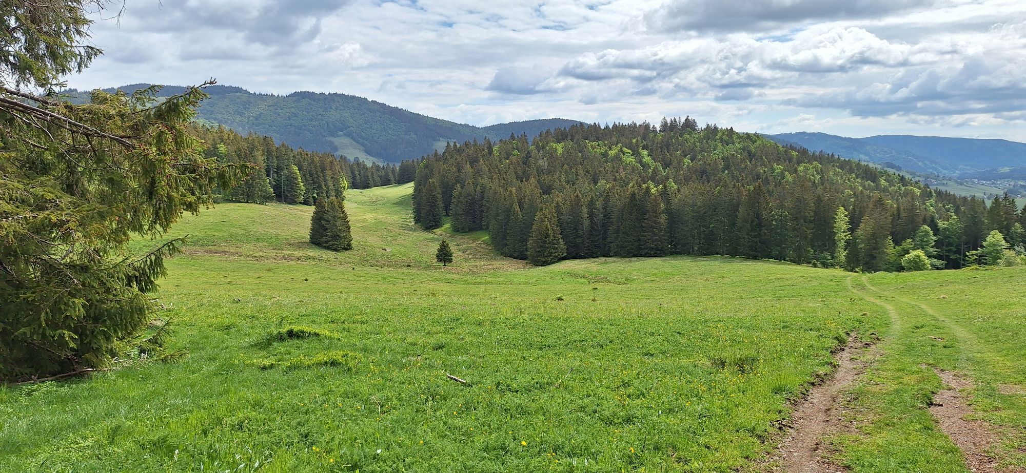
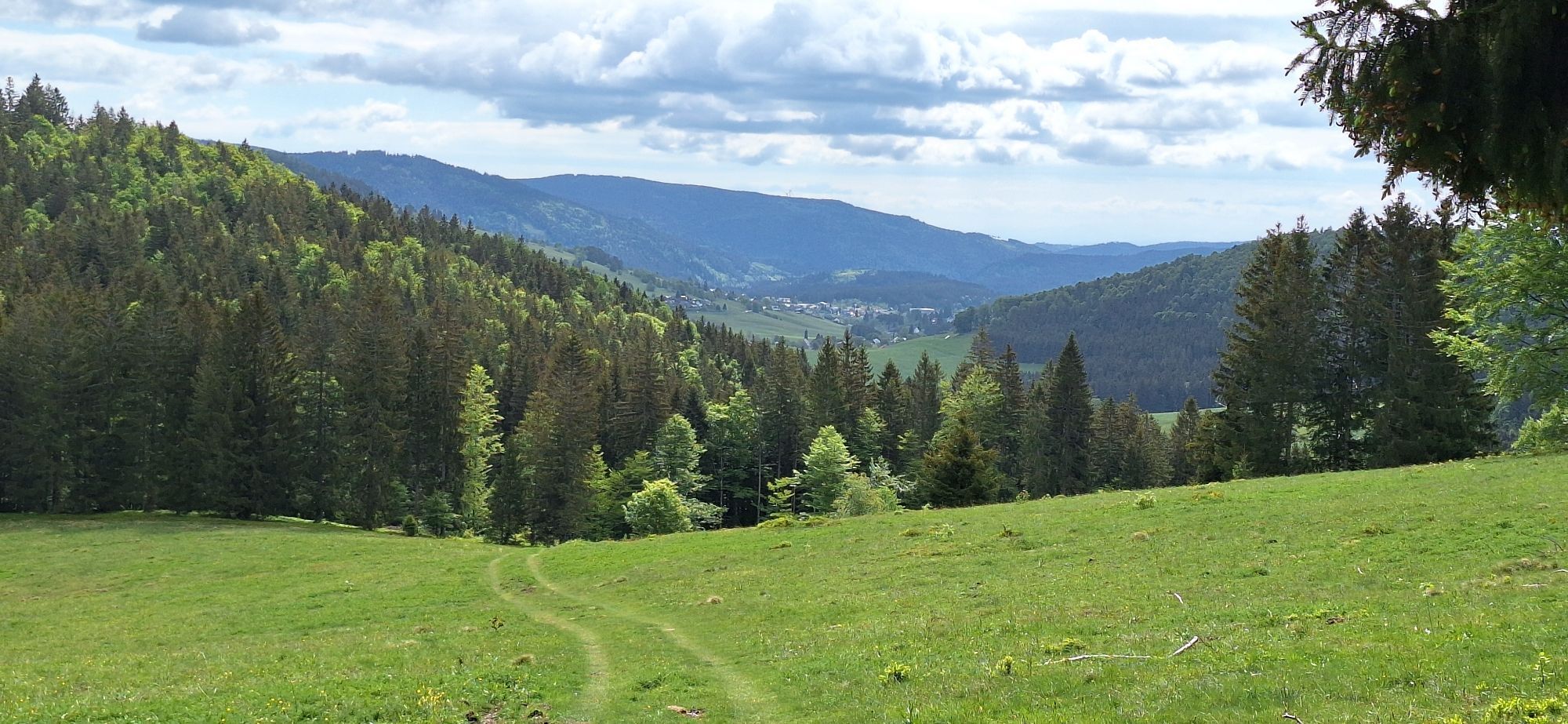
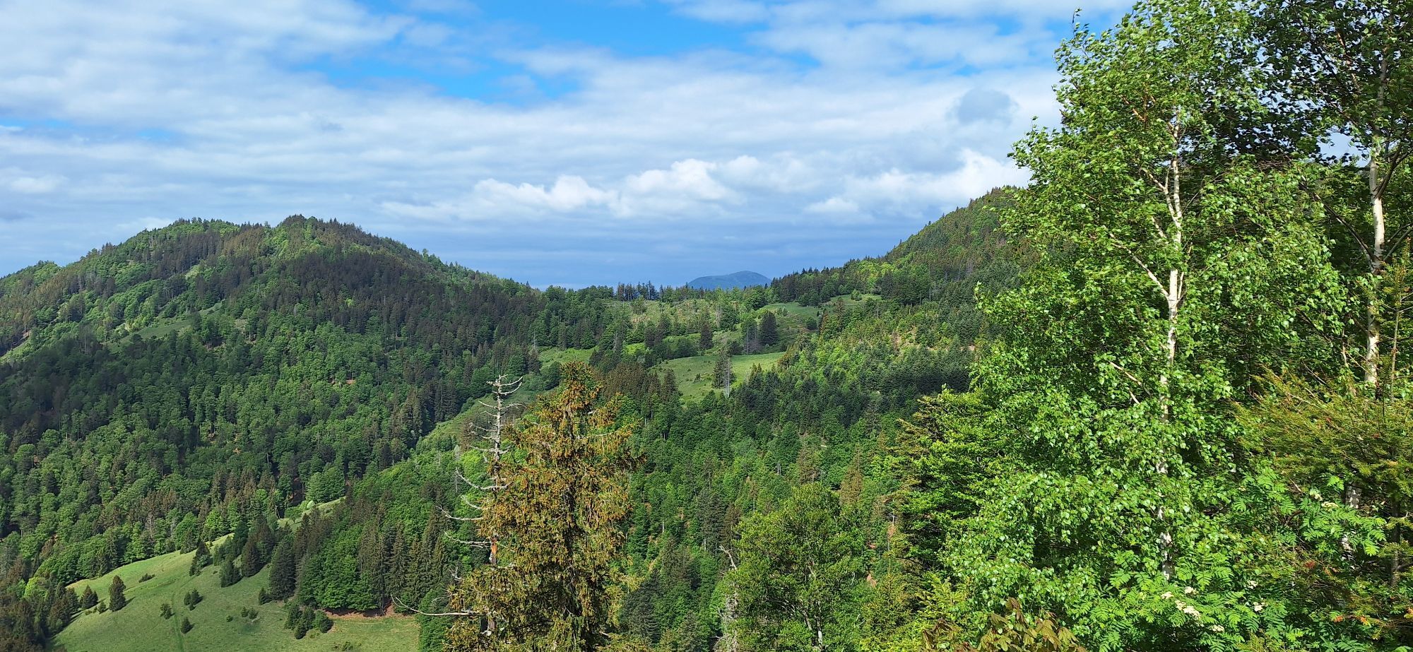
The path begins heading uphill right from Bärental valley. The destination is Zweiseenblick (1,304m). From there, hikers find a majestic view onto the lakes Titisee and Schluchsee. The plank trail leading...
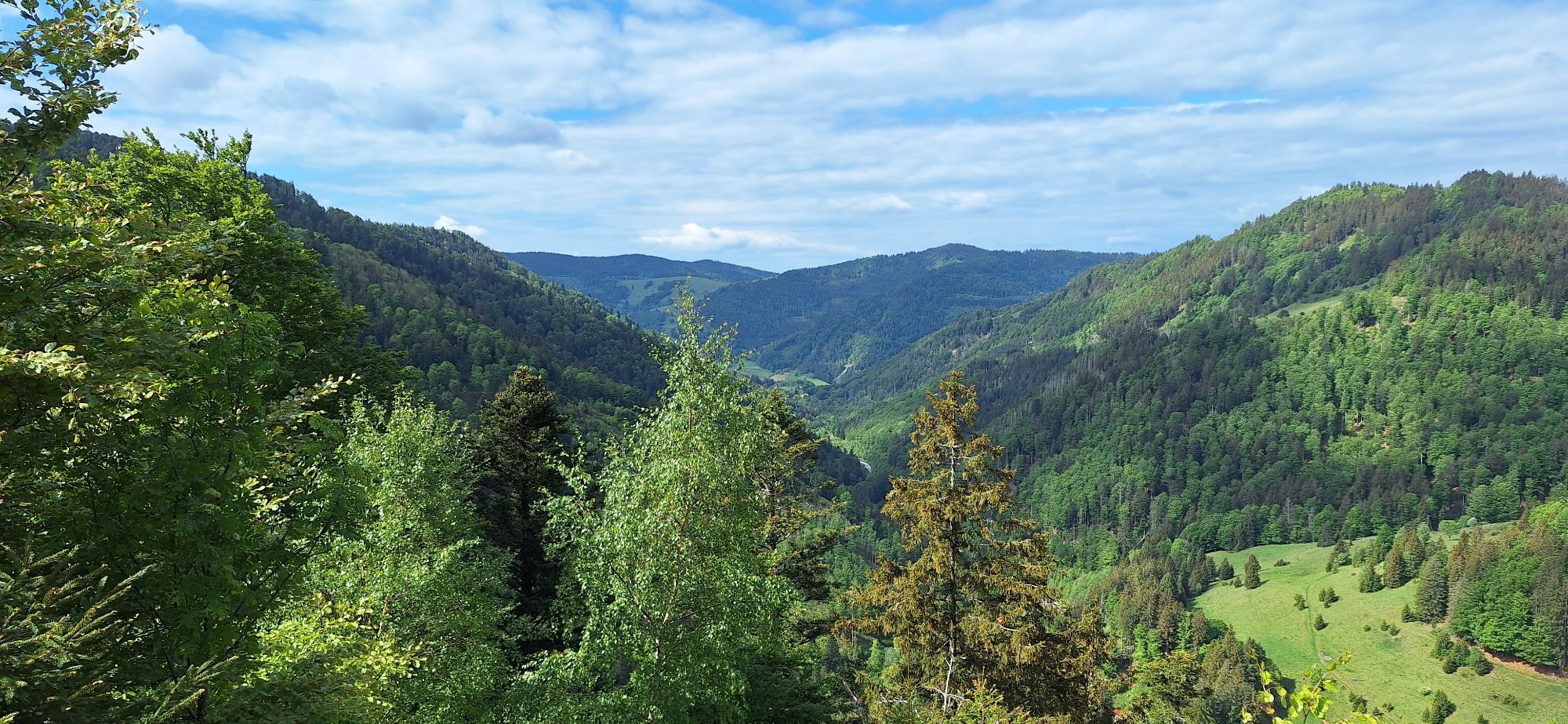
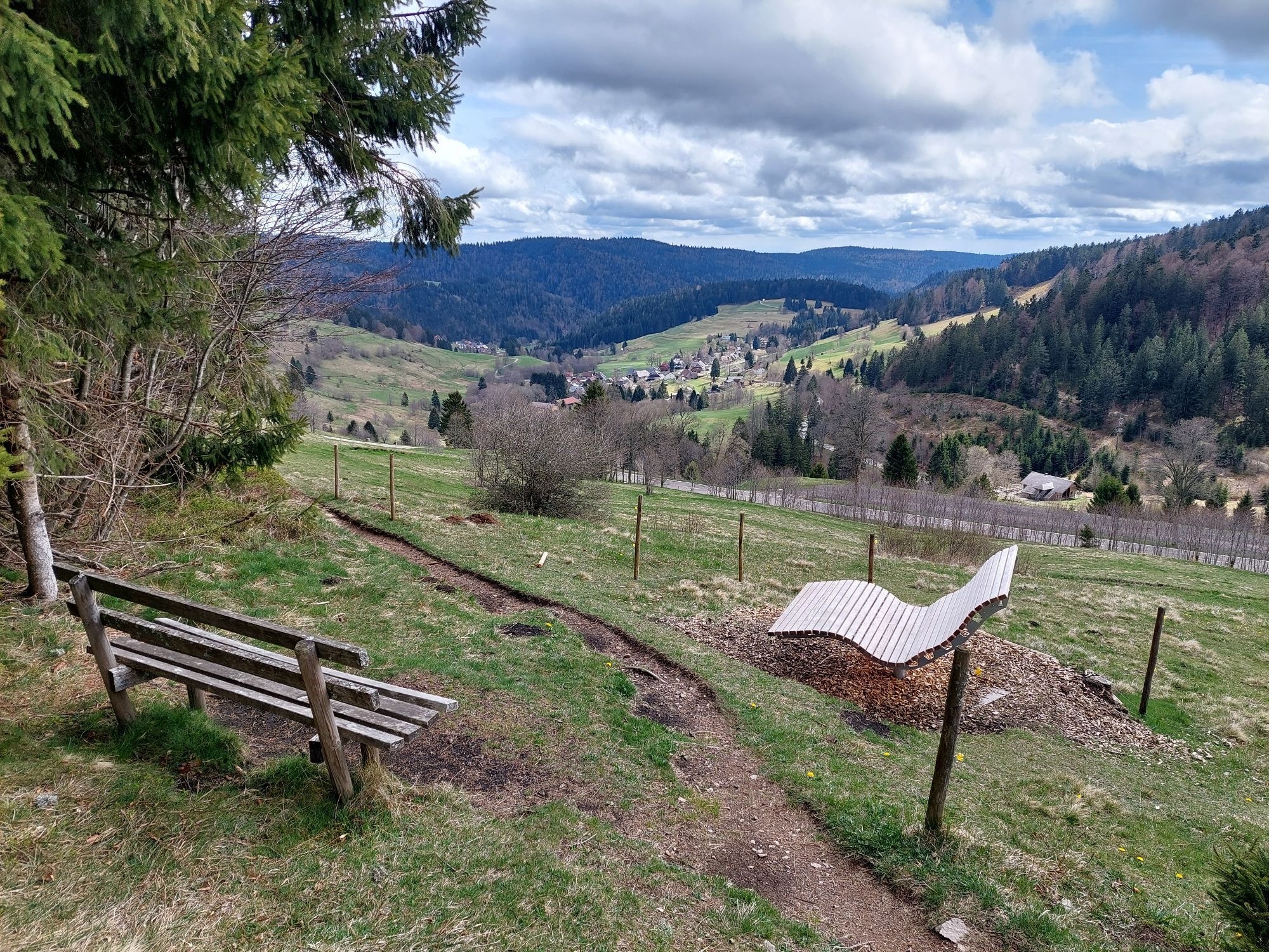
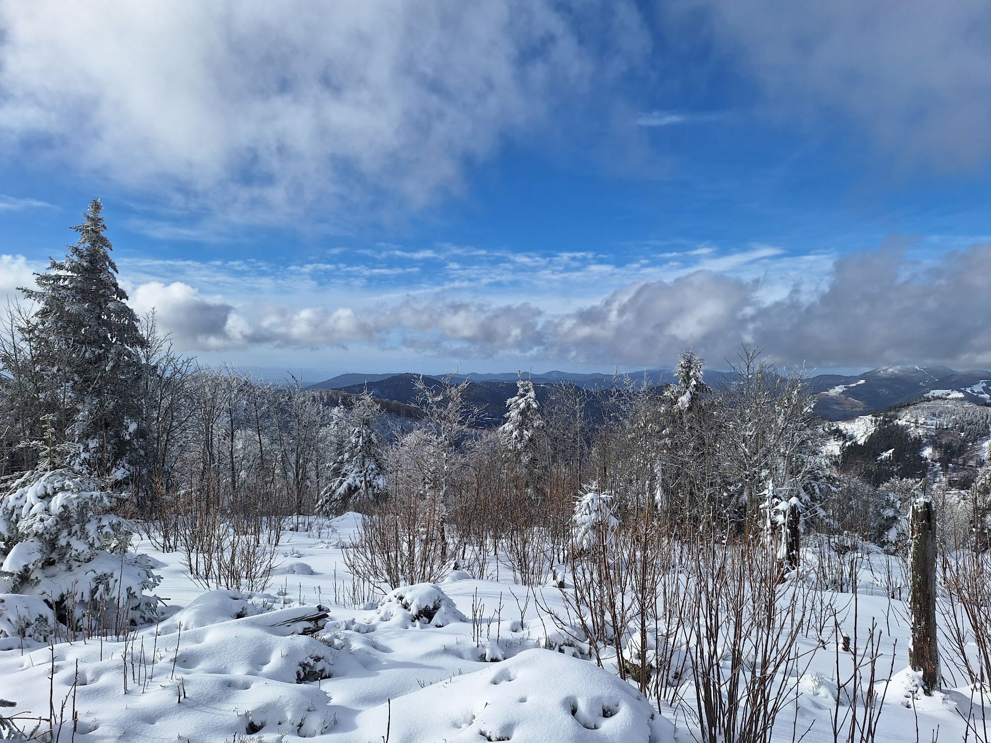
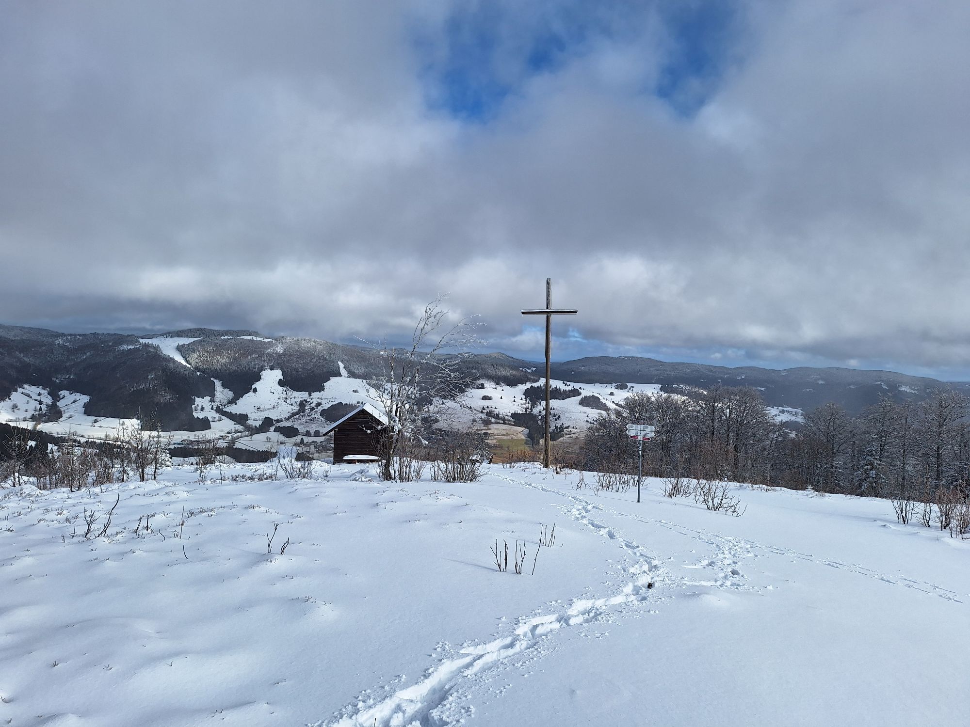
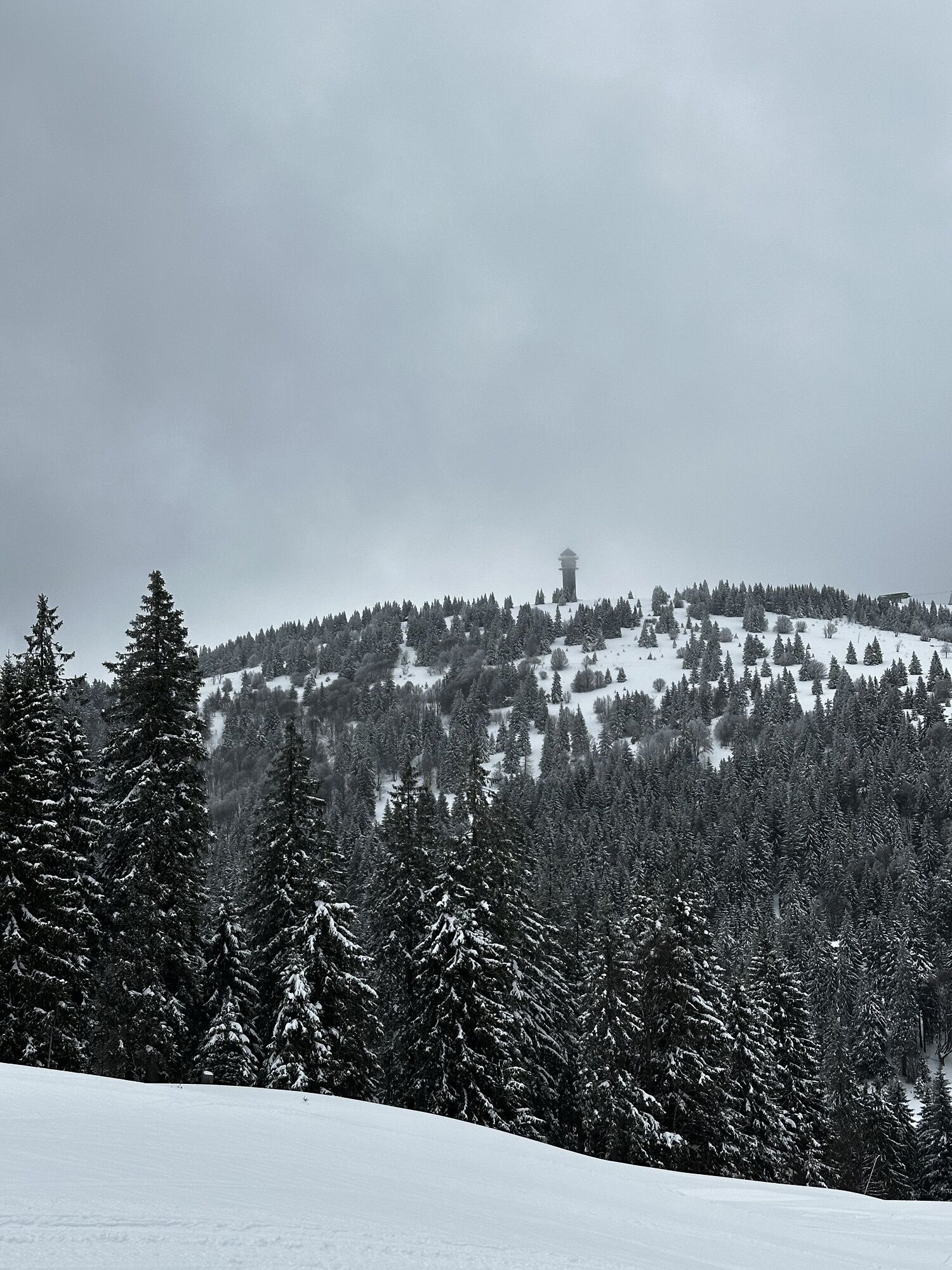
The path begins heading uphill right from Bärental valley. The destination is Zweiseenblick (1,304m). From there, hikers find a majestic view onto the lakes Titisee and Schluchsee. The plank trail leading through the highmoor is reminiscent of Scandinavia. From the cabin Hochkopfhütte, a forest road leads through the steep mountain flanks of Menzenschwander Talkessel to the lodge Caritashaus. Below the national road, the trail leads to Feldberg-Pass. Hikers continue on to pass over fields and through woods up to Grafenmatt. Behind the national athletic training center, the Westweg ascends to the Schwedenschanze jump on Herzogenhorn. A detour to the grand wooden cross on the second-highest Black Forestpeak (1,415m) is obligatory – for many, this is the most beautiful mountain view in the black forest. The trail continues over the narrow mountain ridge between the valleys Prägbachtal and Bernauer Hochtal down to the deep saddle “Auf der Wacht” and then in large zigzag turns up to Blössling (1,310m), a great insider tip. At Präger Eck, the Westweg reaches the Präger Gletscherkessel basin, which six glaciers with a thickness of 500 meters carved out during the ice age. The trail now continues along the basin’s edge until reaching Hochkopf, snaking through a rustic forest landscape where storms have left their mark to reach Ledertschobenstein and the branch-off up to Hochkopf. The tower Hochkopfturm (1,263m) delivers an impressive view into the deep glacial basin. The trail finally descends to Weißenbachsattel, passing through a mixed forest rich in variety.

Bereits ab Bärental geht es steil bergauf. Ziel ist der Zweiseenblick (1.304m). Hier bietet sich ein herrlicher Blick auf den Titisee und den Schluchsee. Auf dem anschließenden Bohlenweg durch das Hochmoor erinnert die Landschaft an Skandinavien. Von der Hochkopfhütte leitet ein Forstweg durch die steilen Bergflanken des Menzenschwander Talkessels zum Caritashaus. Unterhalb der Bundesstraße führt der Weg bis zum Feldberg-Pass.
Verlässt man hier die Ostroute des Westwegs und folgt dem Weg zum Haus der Natur, erreicht man die Hotels am Feldberg und hat eine Übergangsmöglichkeit zur Westroute des Westwegs. Ab dem Feldberg-Pass wandert man nun zur Grafenmatt hinauf. Hinter dem Bundesleistungszentrum steigt der Westweg zur Schwedenschanze am Herzogenhorn empor. Der Abstecher zum großen Holzkreuz auf dem zweithöchsten Schwarzwald-Gipfel (1.415m) – für viele der schönste Aussichtsberg der Region – ist obligatorisch.
Über den schmalen Bergrücken zwischen Prägbachtal und Bernauer Hochtal geht es hinunter zum tief eingeschnittenen Sattel „Auf der Wacht“ und dann in großen Zick-Zack-Kehren hinauf zum Geheimtipp Blössling (1.310m) .
Beim Präger Eck erreicht der Westweg den Präger Gletscherkessel, den in der Eiszeit sechs Gletscher mit einer Eisdicke von 500 Metern ausgehobelt haben. Der Weg folgt nun bis zum Hochkopf dem Kesselrand. Durch eine urige, sturmgeprägte Waldlandschaft schlängelt sich der Pfad zum Ledertschobenstein und weiter zum Abzweig auf den Hochkopf.
Der Hochkopfturm (1.263m) gewährt einen beeindruckenden Blick in den tiefen Gletscherkessel. Durch abwechselungsreichen Mischwald steigt der Weg zum Weißenbachsattel hinab.
To Feldberg-Bärental: Take train from Freiburg via Titisee to Bärental (hourly, duration: ca. 1 hour). Or from Donaueschingen via Neustadt and Titisee to Bärental. (ca. 1.5 hr; 1x per hour).
From Weißenbachsattel: to Todtnau bus station (25 min, Mo - Fri: 8x daily, Sat + Sun: 3x daily), from there, direct and indirect connections to Freiburg via Kirchzarten or Titisee or Feldberg-Bärental (ca. 1 hr, 20 min, 2x per hour).
There are two brief, yet very rewarding detours available to extend this stage. These extra hikes lead to Herzogenhorn and Hochkopf and take ca. 15 min. each. No Westweg hiker will want to miss them.
Webové kamery z prohlídky
-
Feldbergturm Seebuck Gipfel
-
Feldberg - Falkau
-
Feldberg - Grafenmatt I
-
Seebuck Bergstation
-
Seebuck Talstation
-
Hofeck Talstation
-
Hinterzarten - Ferienhaus Carola
-
Hinterzarten - Adlerschanze
-
Hinterzarten - Adler-Skistadion
-
Feldberg - Opelhaus
-
Menzenschwander Hütte - Feldberg
-
Menzenschwand Hinterdorf
-
Bergstation Mösle - Menzenschwand
-
Skilift Schwinbach - Menzenschwand
-
Menzenschwander Hütte - Feldberg
-
Scheuermatthof
-
Todtnauer Hütte
-
Feldberg - Altglashütten
-
Feldberg - Fahl
-
Todtnauer Hasenhornturm
-
Todtnauer Hasenhornturm
-
Todtnauberg Stübenwasenlift


Oblíbené prohlídky v okolí
-
4.7
Black Forest Highlands heritage trail - mills and saws in the gorge
středníTuristika 7.42 km -
3.9
Seerundweg Titisee
světloTuristika 5.84 km -
4.4
Belchensteig
středníTuristika 14.8 km -
4.2
Höhenklimaweg Titisee-Rundweg
středníTuristika 7.44 km -
4.3
Ravennaschlucht
Turistika 6.90 km -
4.8
Sonnenaufgang und Feldbergsteig
středníTuristika 11.6 km -
3.7
Premium Hiking Trail- Säbelthomaweg
středníTematická stezka 11.3 km -
4.9
Todtmoos – Wanderung: Genießerpfad Lebküchlerweg
středníTuristika 12.8 km -
4.7
Premium Hiking Trail - Menzenschwander Geißenpfad
středníTematická stezka 9.78 km -
4.7
Seerundweg Schluchsee
středníTuristika 17.7 km
Pěší turistika a stopování


Nenechte si ujít nabídky a inspiraci pro vaši příští dovolenou
Vaše e-mailová adresa byl přidán do poštovního seznamu.





