






Churfranken Castle and Palace Route

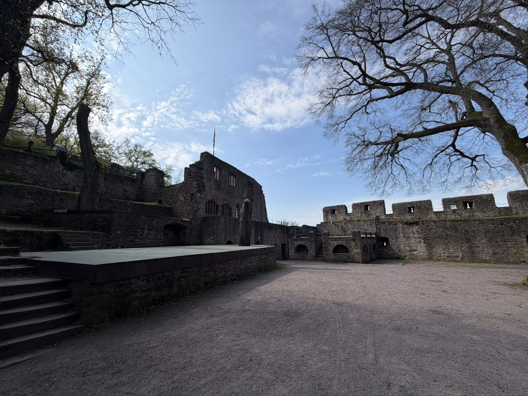
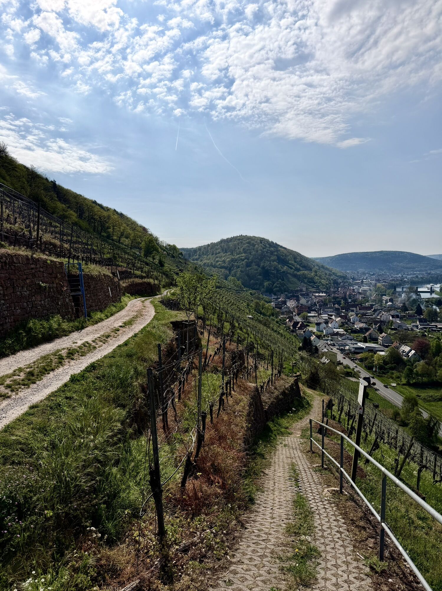
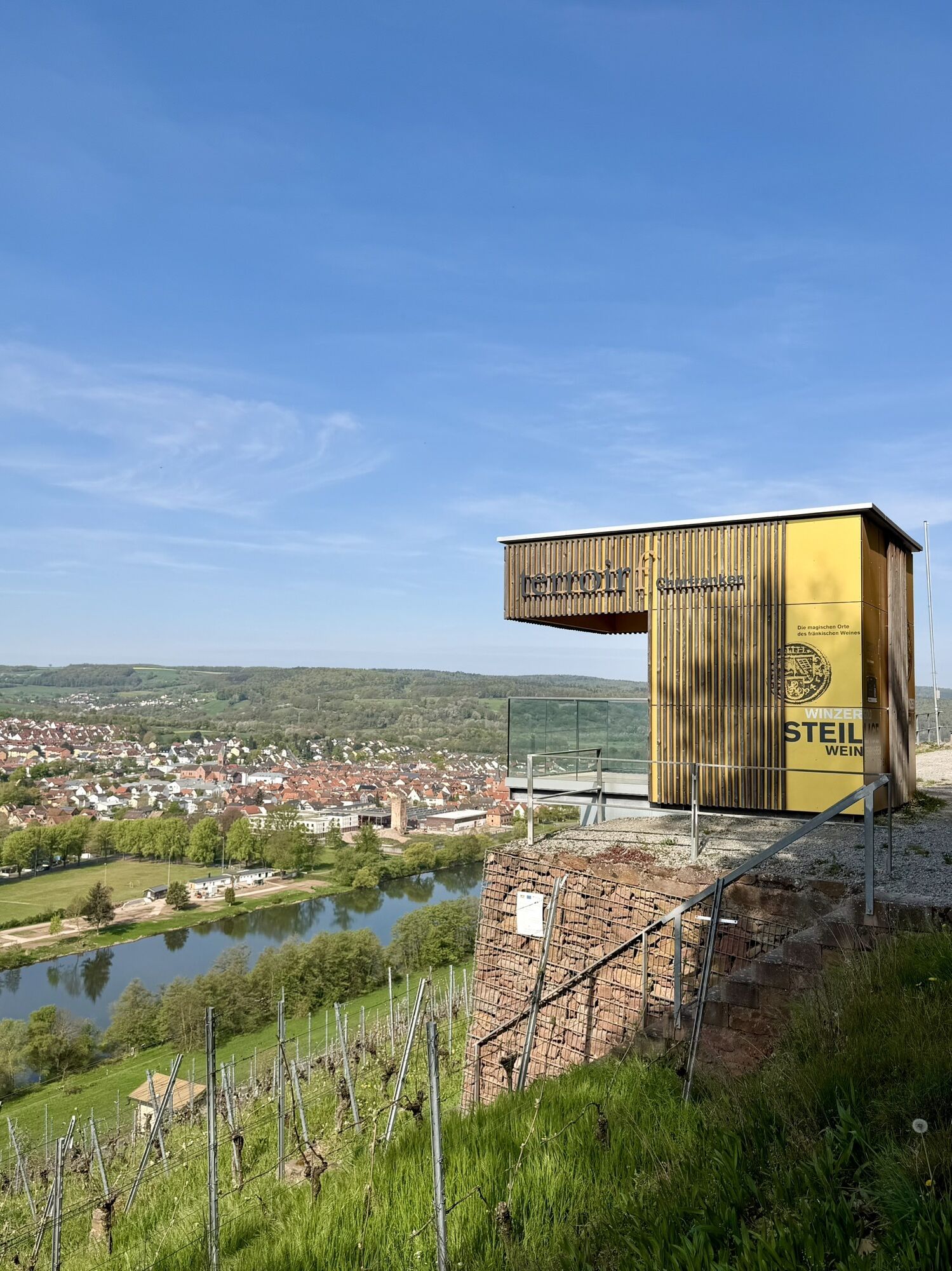

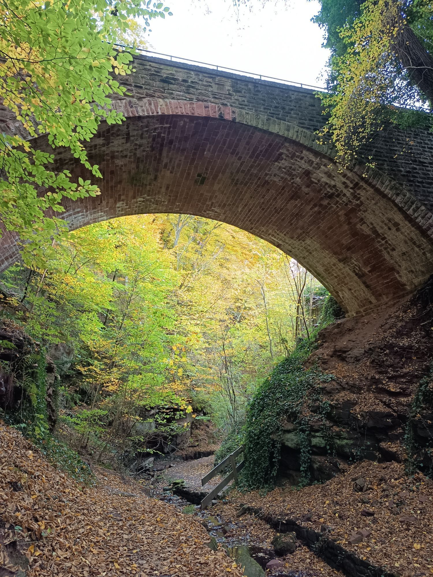
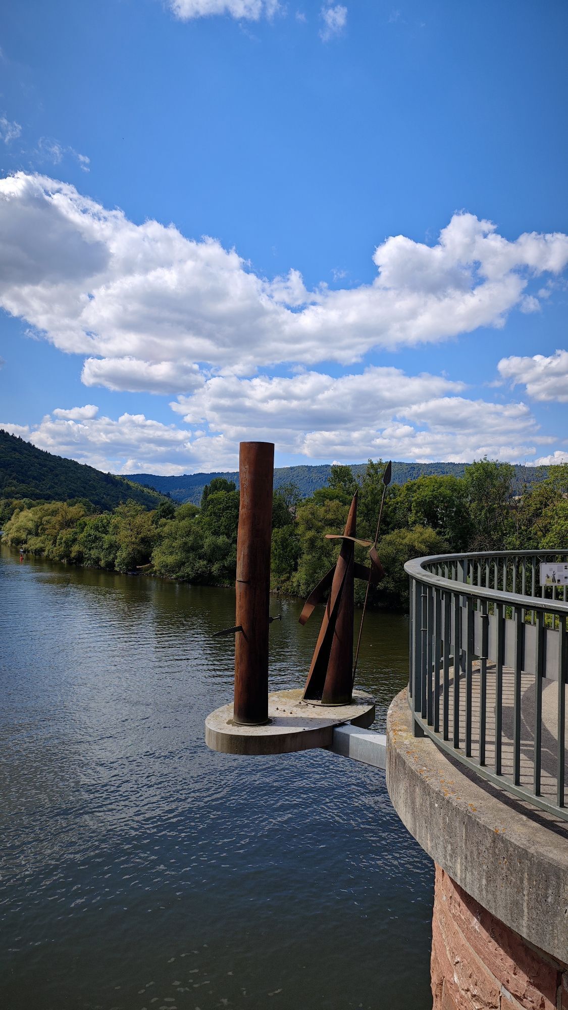
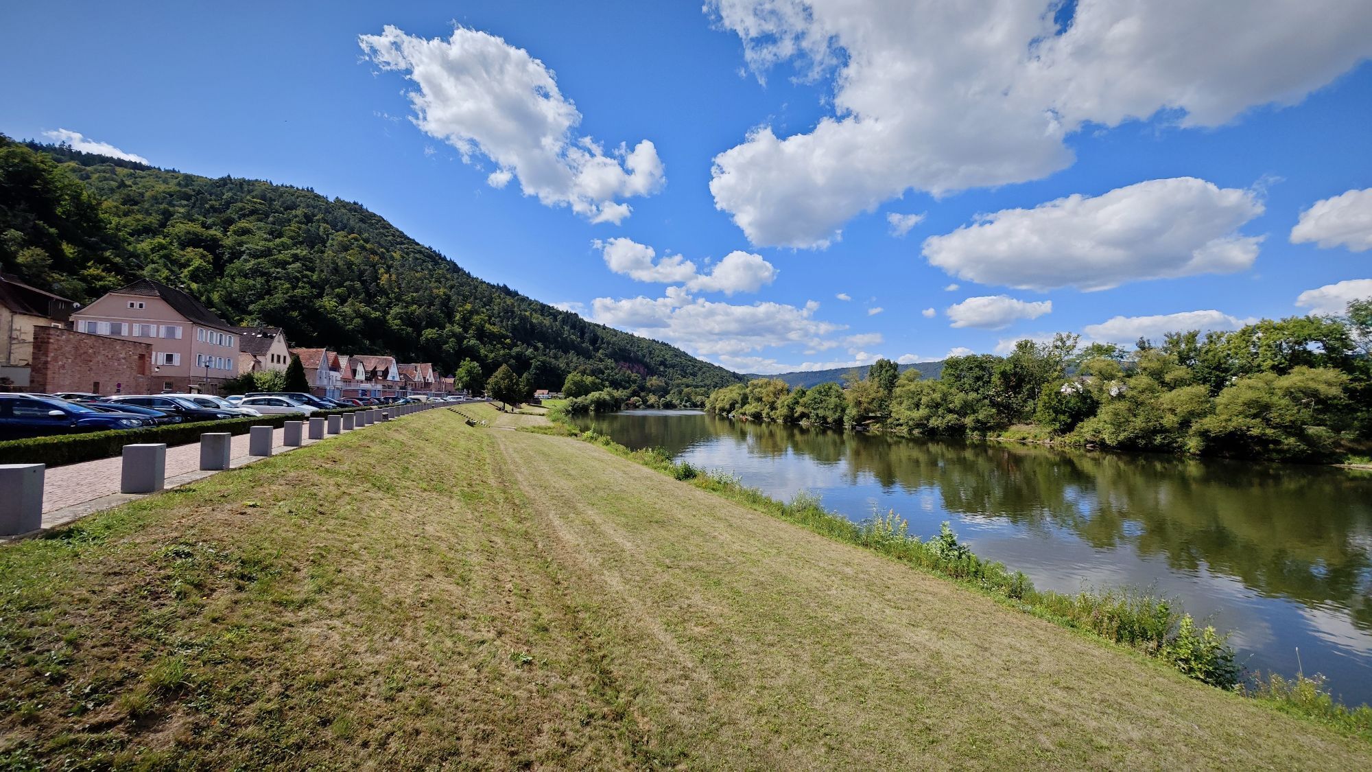
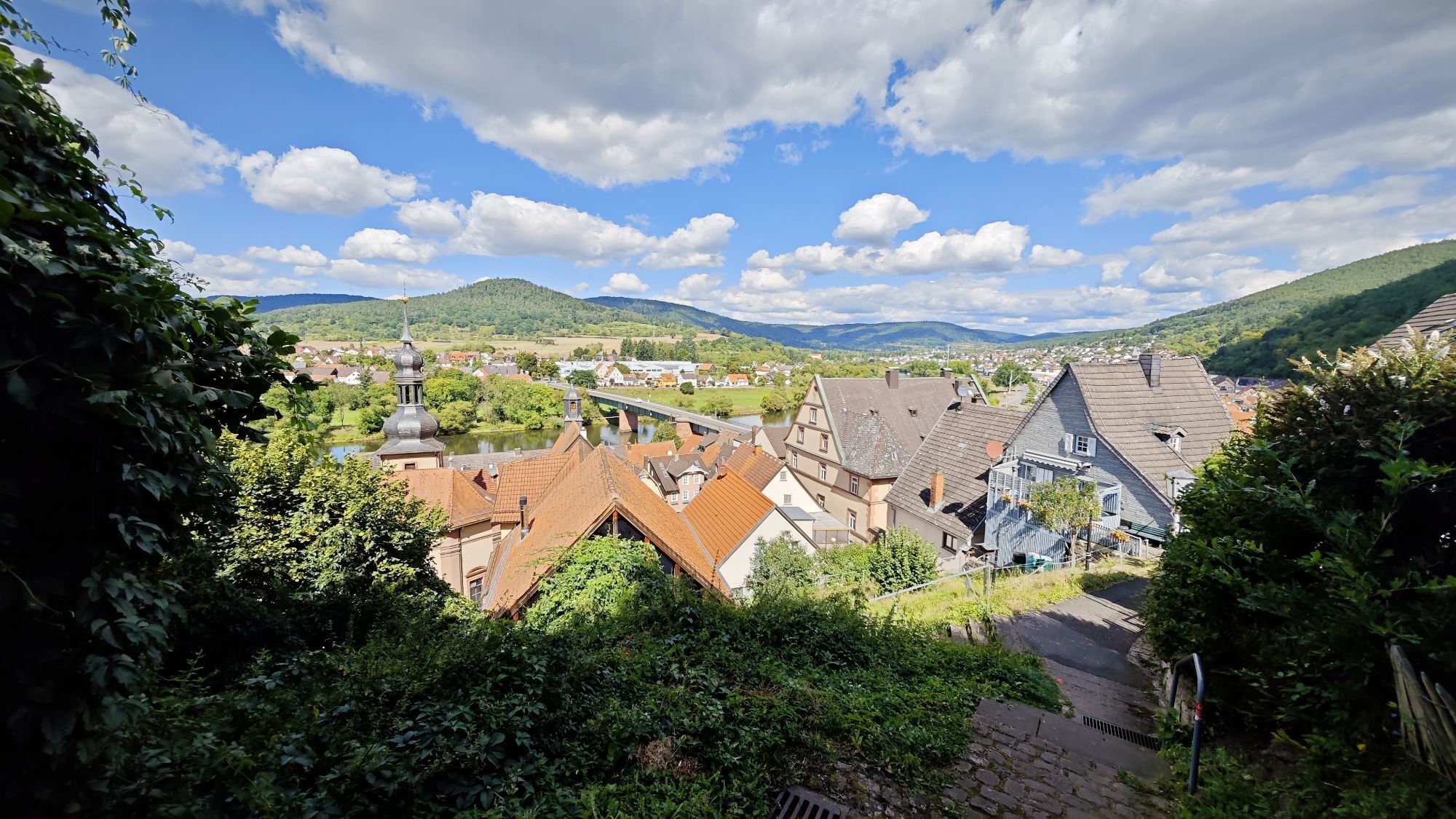
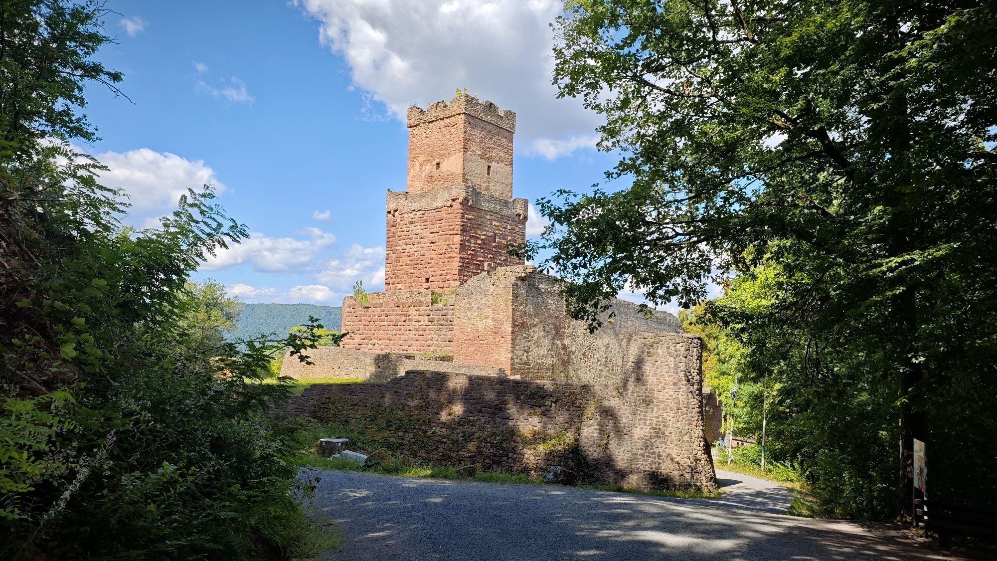
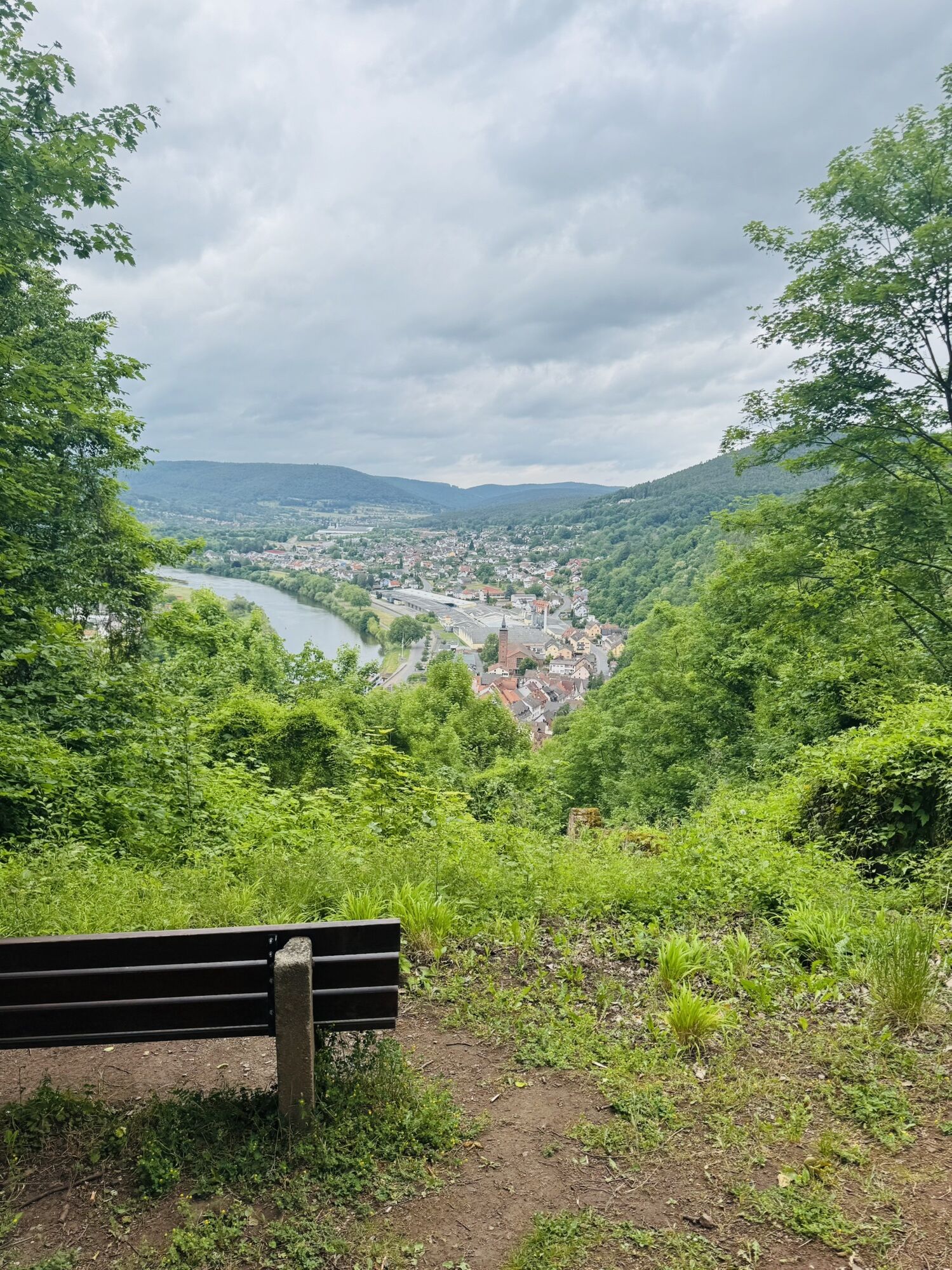
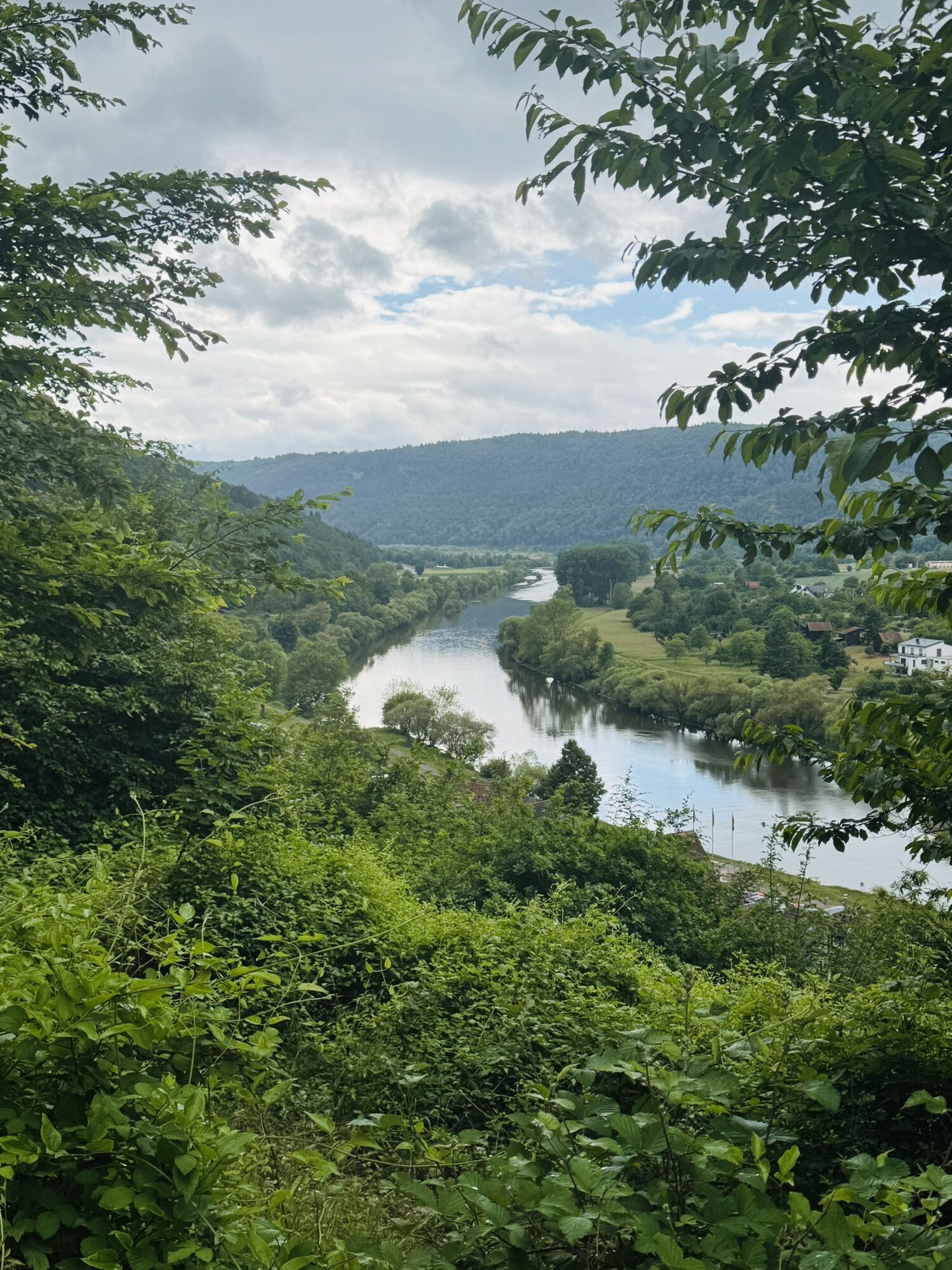
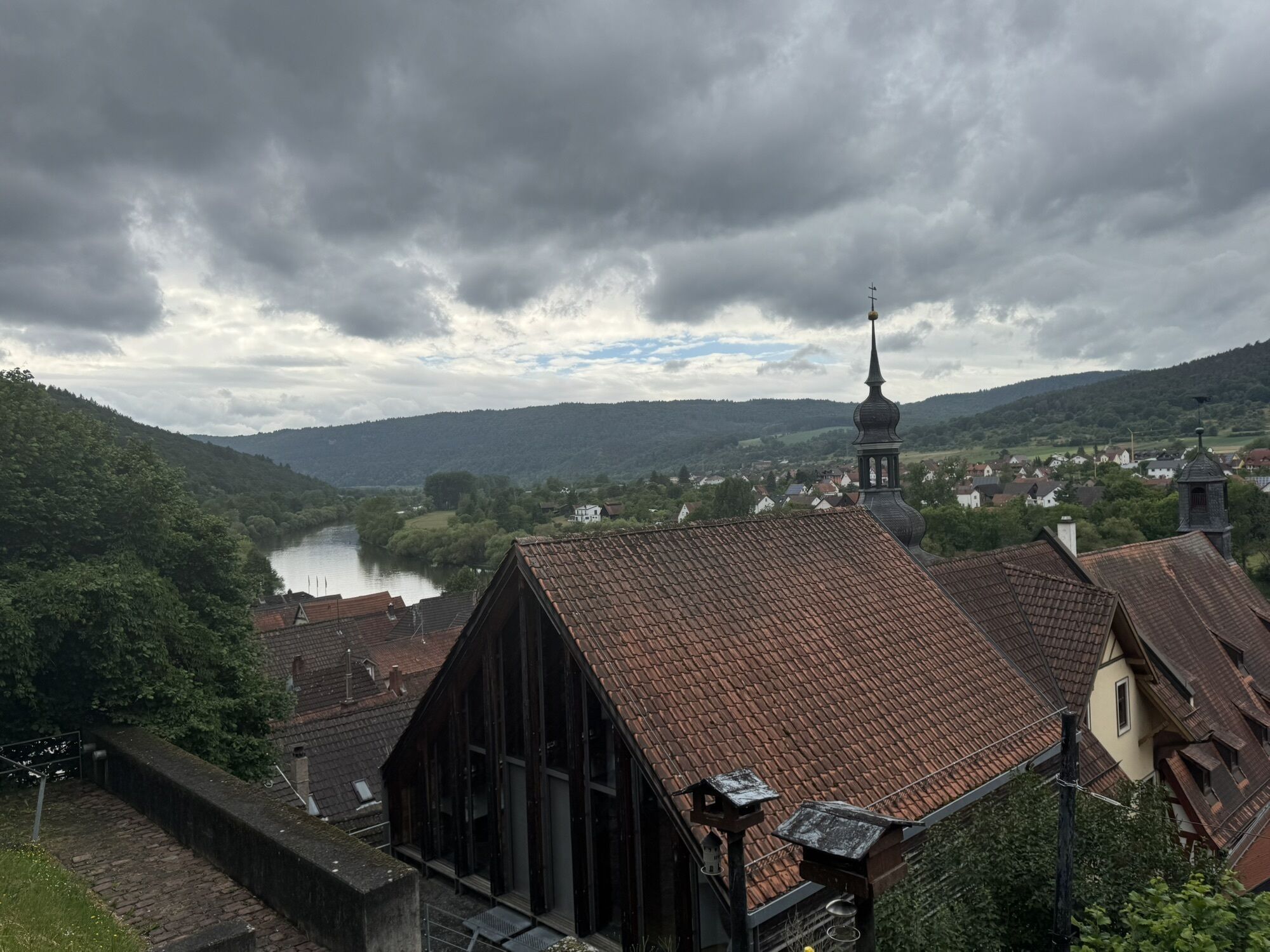
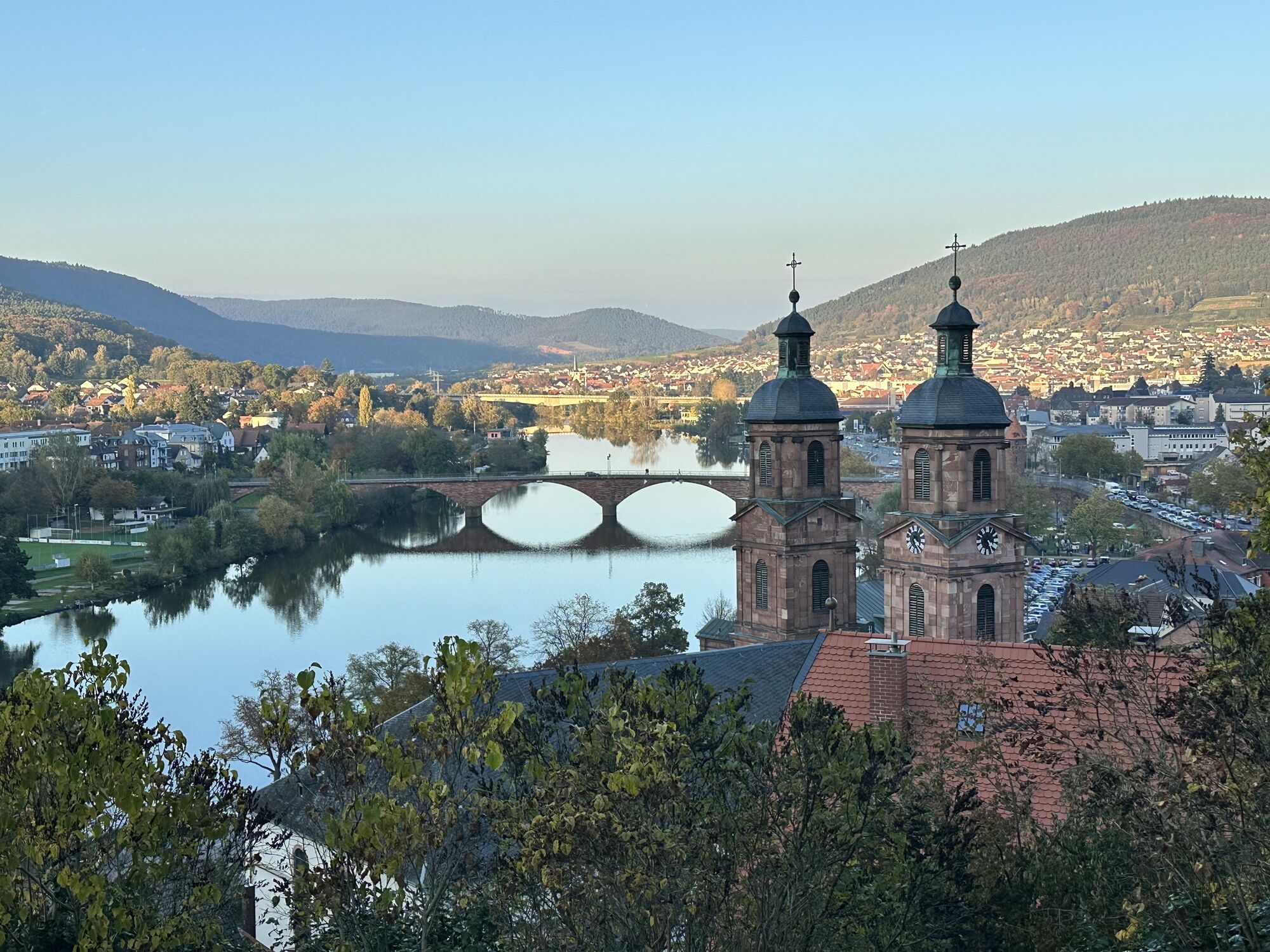
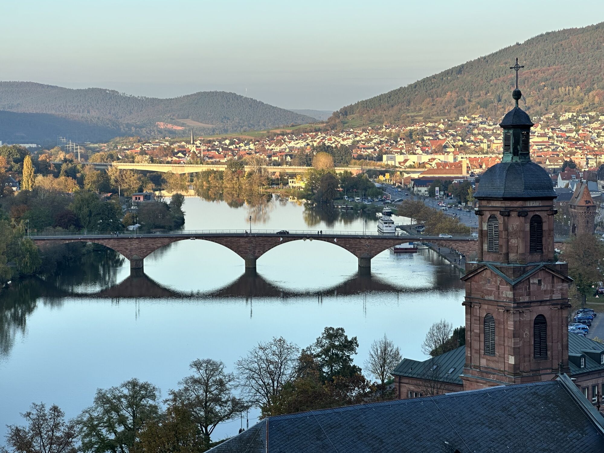
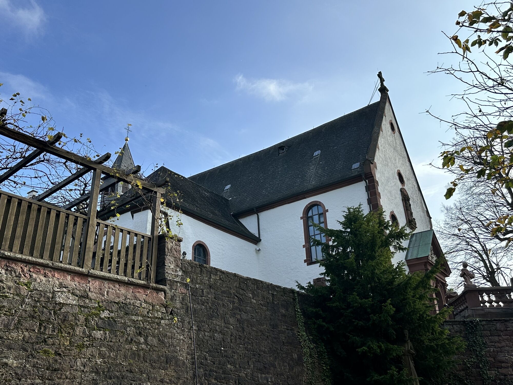
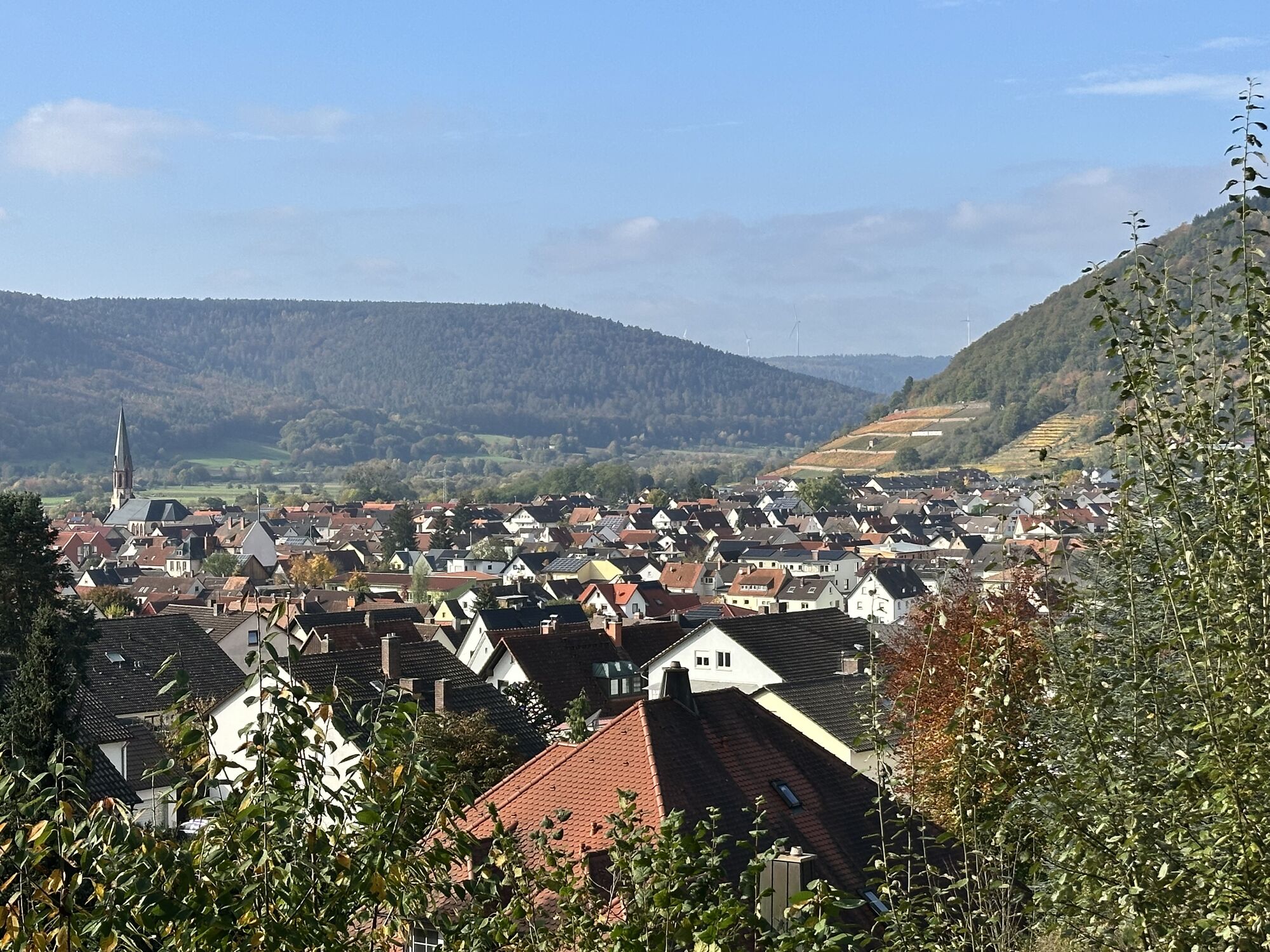



Discover the romantic castles, palaces, and other historic buildings of our region. Use the well-developed long-distance hiking routes that run through the Churfranken region: MainWanderweg, Franconian...
Discover the romantic castles, palaces, and other historic buildings of our region. Use the well-developed long-distance hiking routes that run through the Churfranken region: MainWanderweg, Franconian Marian Way, Eastern Limes Hiking Trail, and Franconian Red Wine Hiking Trail.


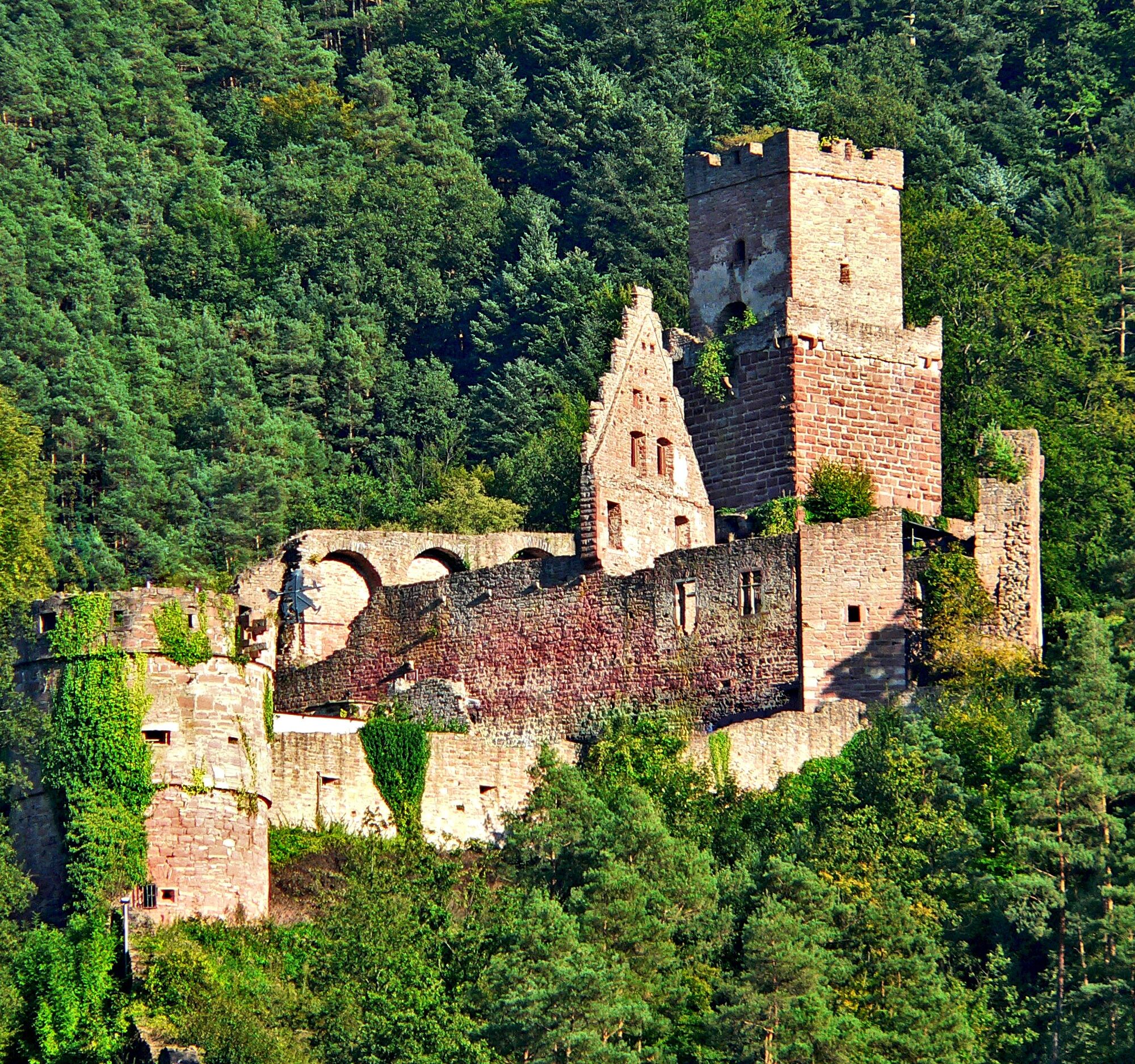
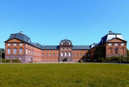
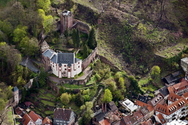
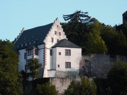

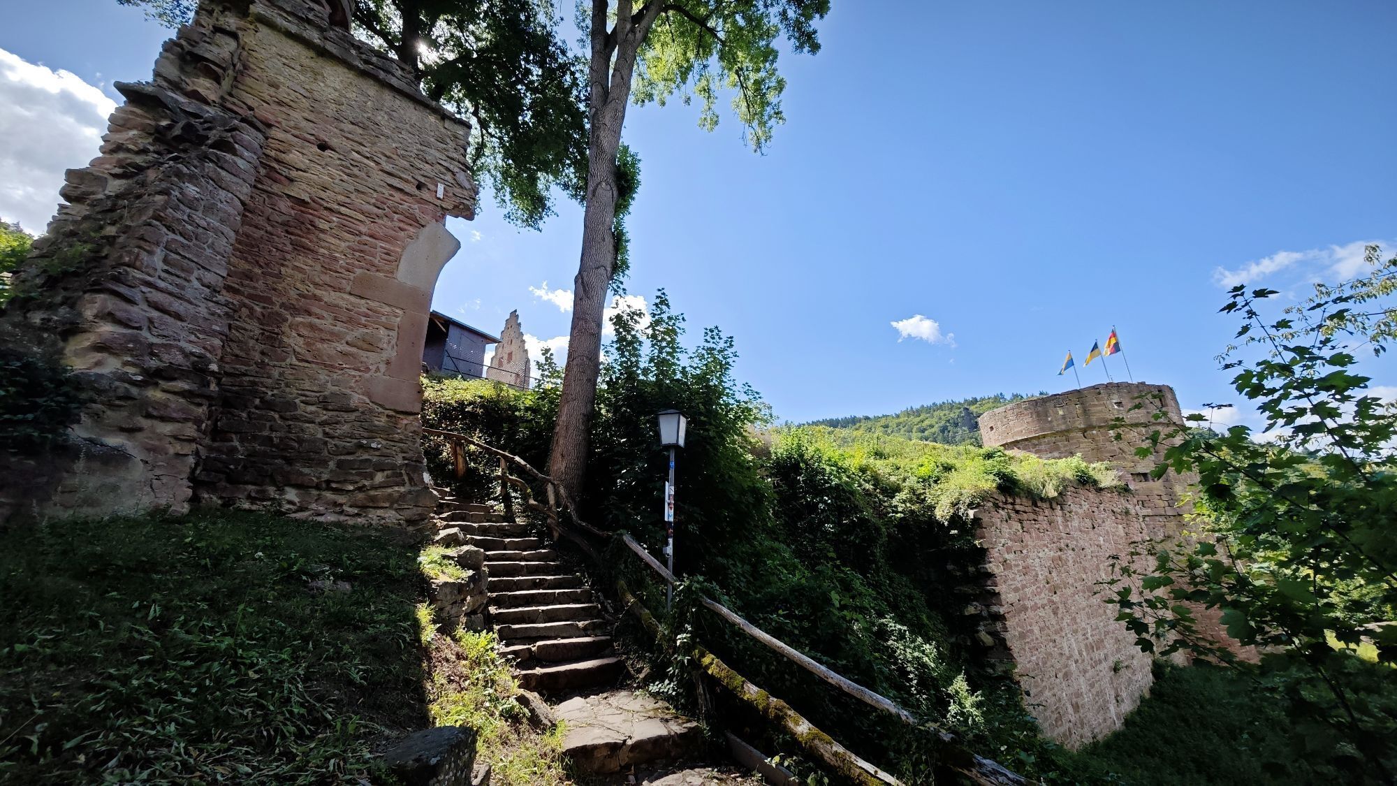
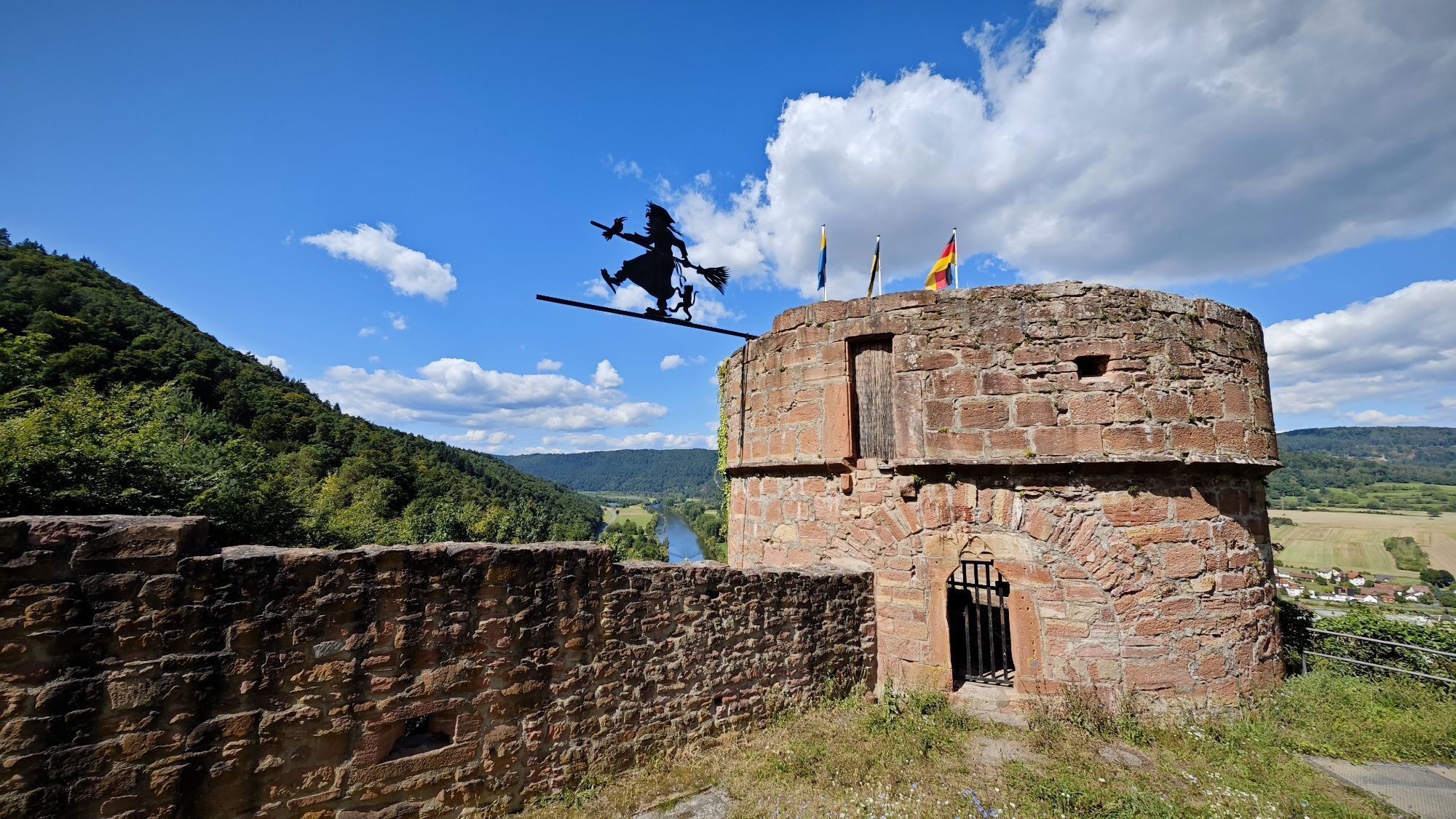
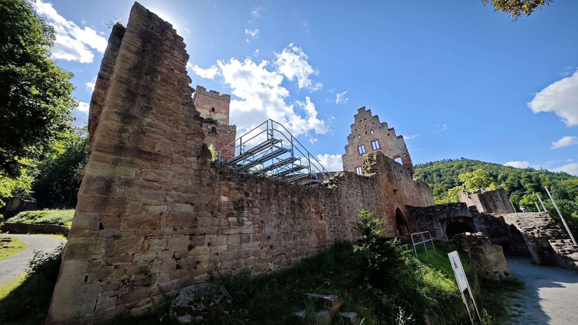
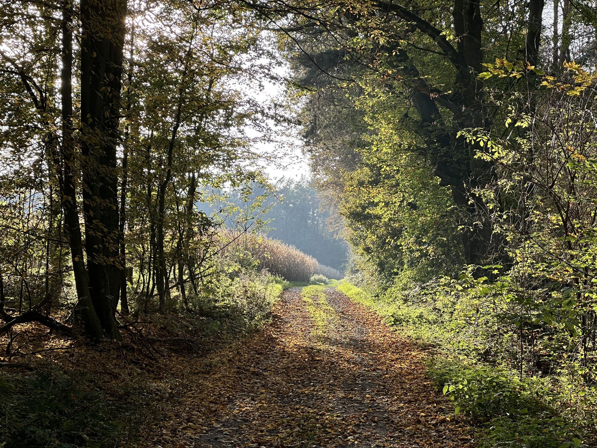
Hikers come to marvel on the well-developed paths in a magnificent setting; culture and history enthusiasts cannot get enough of castles, fortresses, and magnificent half-timbered houses.
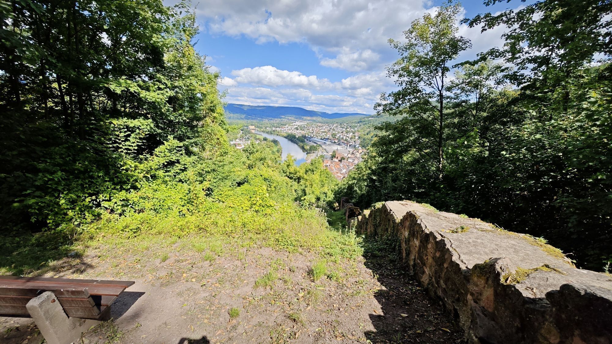
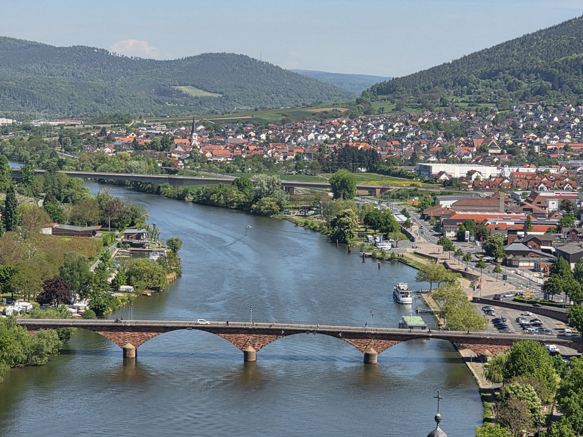
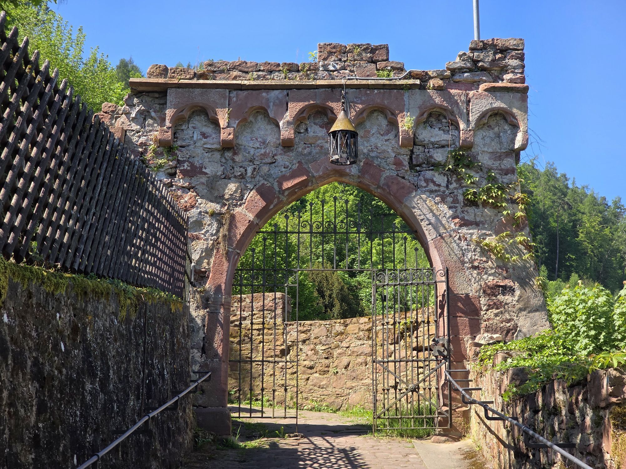
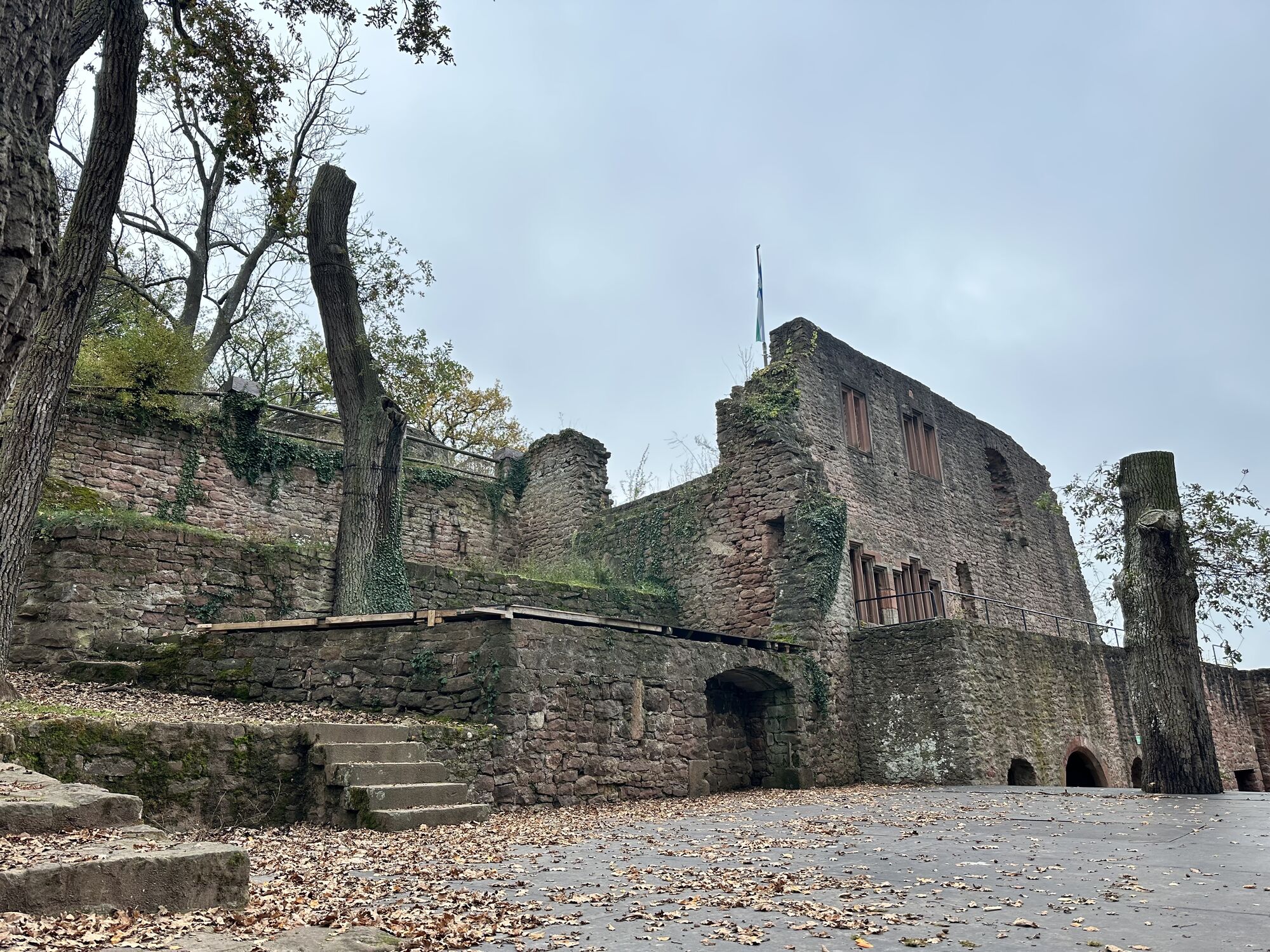
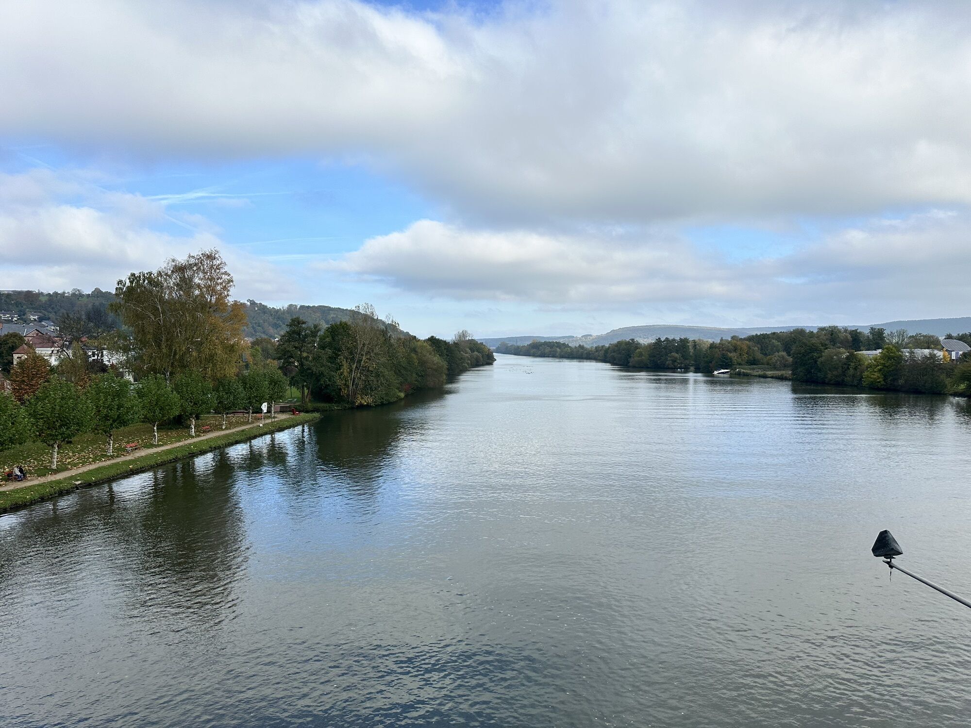
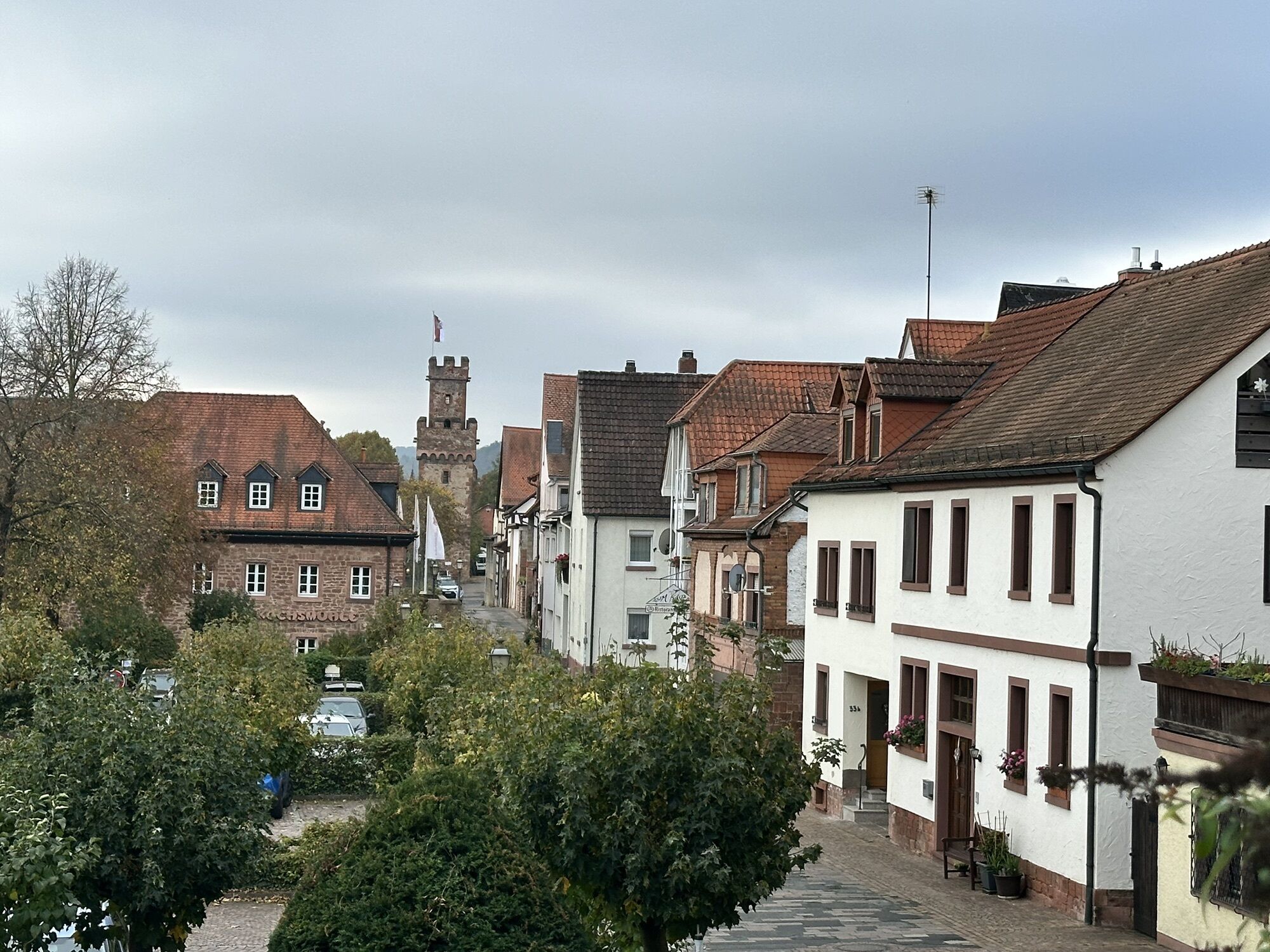
Start your route in Wertheim at the tourist information center. From there, take Gerbergasse to Neugasse and turn left onto "Rechte Tauberstraße." Cross the Tauber. Follow the M hiking trail marking, identified by a blue M. You hike above the Main for several kilometers to the district of Bestenheid and continue towards Mondfeld. Above the village, leave the M marking and follow the O17 marking down into the valley and along the Main riverside. Here you will find the only ferry crossing the Main, connecting Baden-Württemberg with Bavaria. Once you arrive on the opposite side with the ferry, follow the O17 signs to Henneburg. From Henneburg, hike uphill to the Franconian Marian Way, whose signs you should continue to follow. You will reach the ruins of Kollenburg and continue to the Fechenbach district. From there, the path continues above the Main toward Freudenberg. Upon arrival in town, follow the stairway next to the town hall to the castle ruins of Freudenberg. From Freudenberg Castle, orient yourself again by the M hiking trail signs which lead straight ahead to Bürgstadt. At the so-called Räuberschlößchen, leave the path and take the left path. At Bürgstadt Hill, we recommend briefly leaving the path to follow the signs to the Centgrafen Chapel, from where you have a wonderful view over the entire Main valley. Upon reaching Bürgstadt, cross a small wooden bridge over the Erf River towards Miltenberg. In the old town, follow the main street straight ahead. After about 1 km through the timber-framed old town, you reach the former marketplace, the "Schnatterloch." Next to the wine house at the old market, stairs lead up to Mildenburg. From the castle courtyard, take a forest path for a few meters, then turn left into a small valley downhill back toward Schnatterloch. From there, hike along the Main promenade towards Kleinheubach to Castle Löwenstein and further across the Main to Großheubach, then follow the ascent to Engelberg Monastery. From here, follow the M hiking trail signs and hike towards Röllfeld. Shortly before the village begins, switch to the Franconian Red Wine Hiking Trail, which you follow to Klingenberg and from there reach the ruins of Clingenburg. From Klingenberg, a detour across the Main to the historically very interesting town of Wörth am Main.
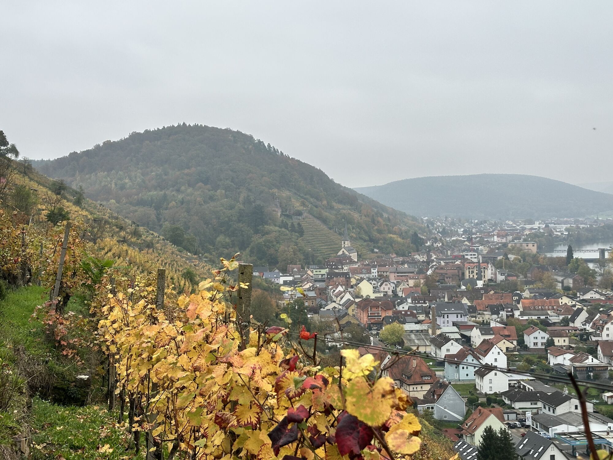
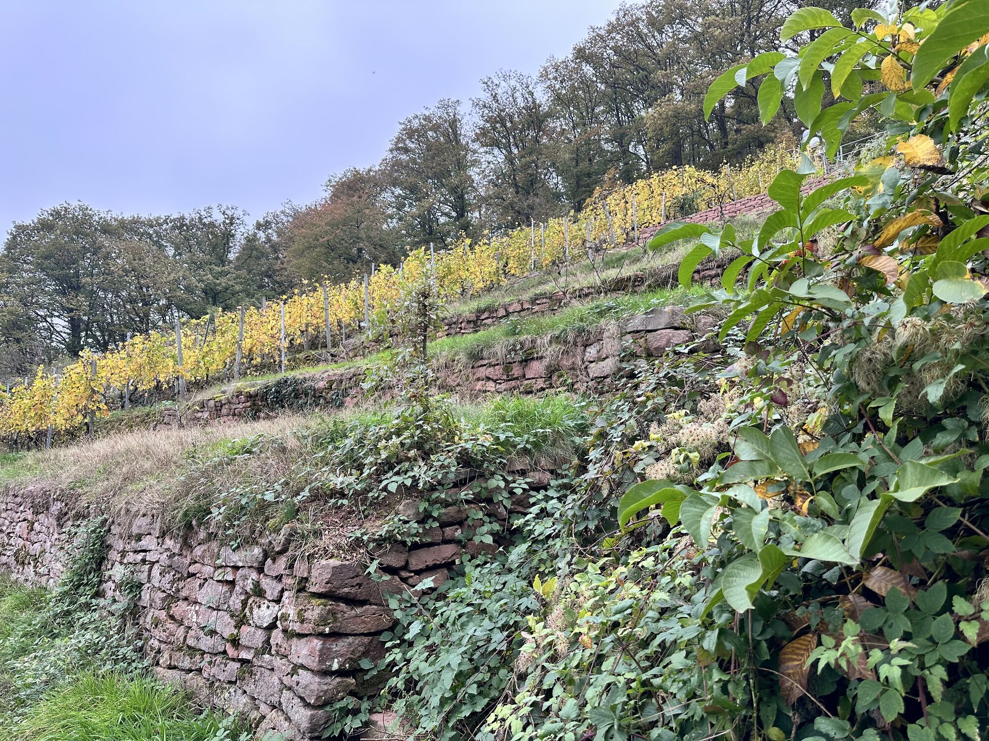
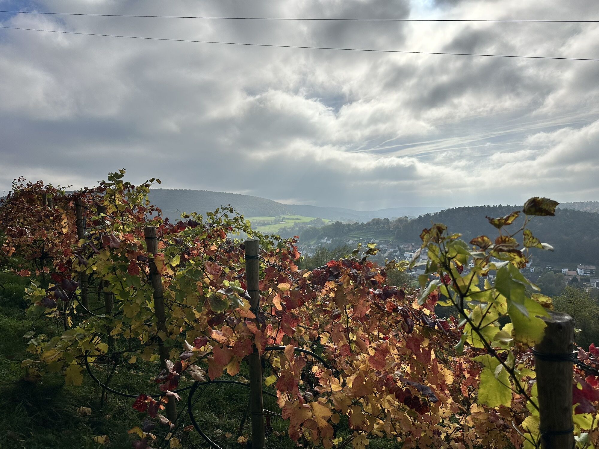
Back in Klingenberg, continue on the Franconian Red Wine Hiking Trail through the terrace steep vineyards to Erlenbach and then to the Elsenfeld district Rück with the Himmelthal Monastery. Wine tastings by local vintners are often held here. The Red Wine Hiking Trail now leads you into the town of Elsenfeld – from here, hikes towards Kleinwallstadt and Sulzbach are possible (alternatively by train), where a visit to the Old Castle and the Old Fortress is highly recommended.
From Elsenfeld, follow the Franconian Red Wine Hiking Trail over the Main to Obernburg am Main. The "Pompeii on the Main" is located at the UNESCO World Heritage Upper German-Raetian Limes, and the Roman Museum displays numerous finds from Roman history.
On the Franconian Red Wine Hiking Trail, you now hike north to Niedernberg and further to the destination Großostheim with the beautiful Nöthig Estate with the Bachgau Museum on the marketplace.
Ano
Sturdy hiking shoes
You can reach Wertheim via the A3. The exit is located between Aschaffenburg and Würzburg. Coming from Aschaffenburg, take the Wertheim / Marktheidenfeld exit. From Würzburg, take the Wertheim / Lengsfeld exit.
By train from the direction of Miltenberg to Wertheim stop.
Parking spaces for cars below the Odenwald bridge directly at the skatepark. Direction of travel festival hall.
Webové kamery z prohlídky

Oblíbené prohlídky v okolí
-
4.0
Amorbach Waldromantikweg aka. A9
středníTuristika 9.95 km -
"Of Clay, Stones and Shards"
středníTuristika 8.31 km -
5.0
Dorfprozelten: Kollenburg-Chapel-Route
středníTuristika 11.8 km -
5.0
Roman Route in Miltenberg M1
heavyTuristika 15.3 km -
5.0
Rüdenau mountain hike R1
heavyTuristika 13.8 km -
Obernburg - Eisenbach round
středníTuristika 10.7 km -
MainRadweg Wertheim bis Miltenberg
Jízda na kole 35.7 km -
4.0
European cultural route: "From Hecke to Häcke in Hebboch"
středníTuristika 10.2 km -
Nibelungensteig - 6th stage from Miltenberg to Amorbach
heavyTuristika 13.2 km -
Miltenberg - Engelberg Monastery - Kleinheubach Castle - round trip
heavyTuristika 12.6 km
Pěší turistika a stopování


Nenechte si ujít nabídky a inspiraci pro vaši příští dovolenou
Vaše e-mailová adresa byl přidán do poštovního seznamu.





