


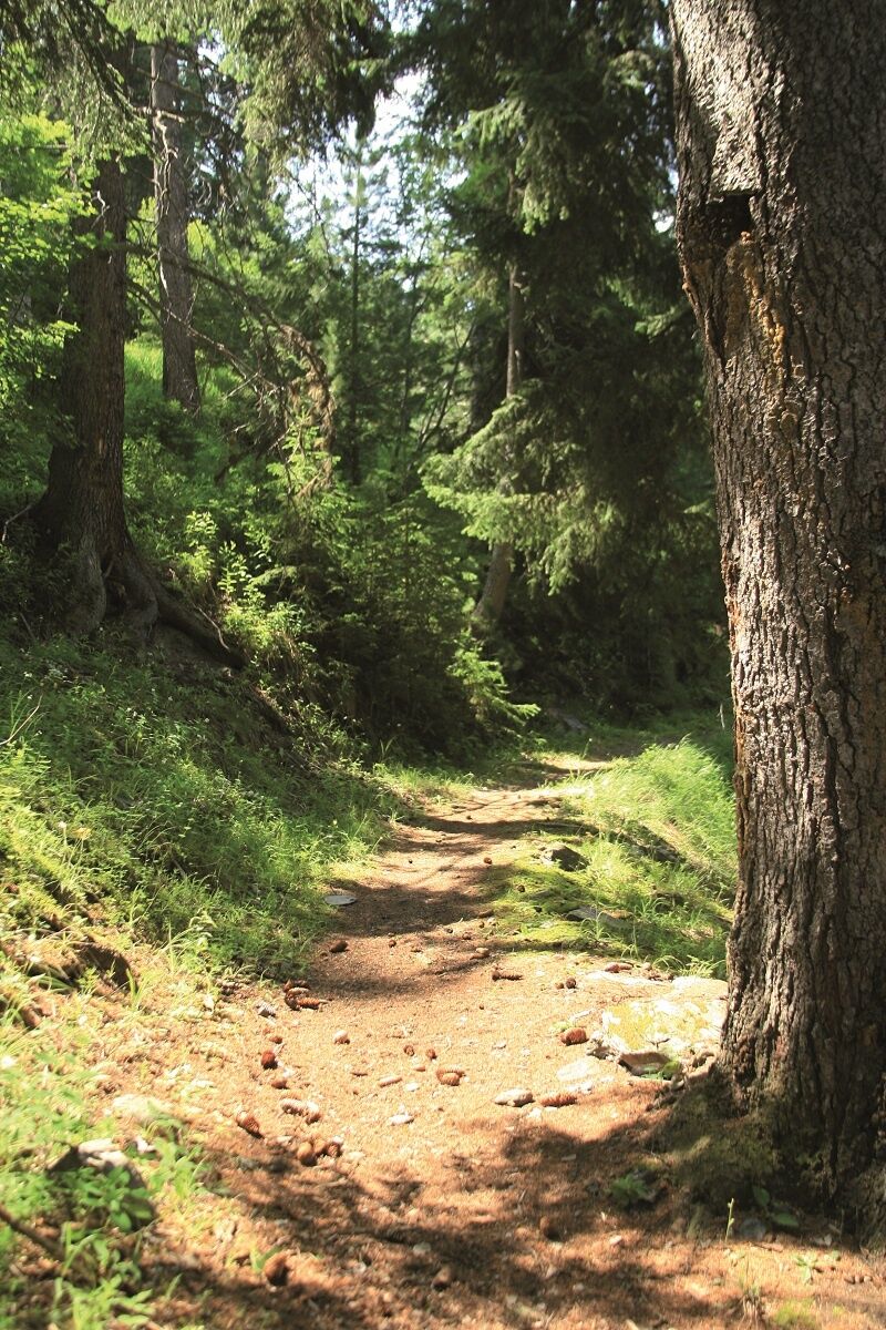
Chemin des Gardes by le Seuil on foot
At the foot of the prestigious peaks of Valfréjus, get ready to succumb to the many charms of the high mountains. Punta Bagna, Pointe de Fréjus, Pointe d'Arrondaz... here they all are, watching over you....
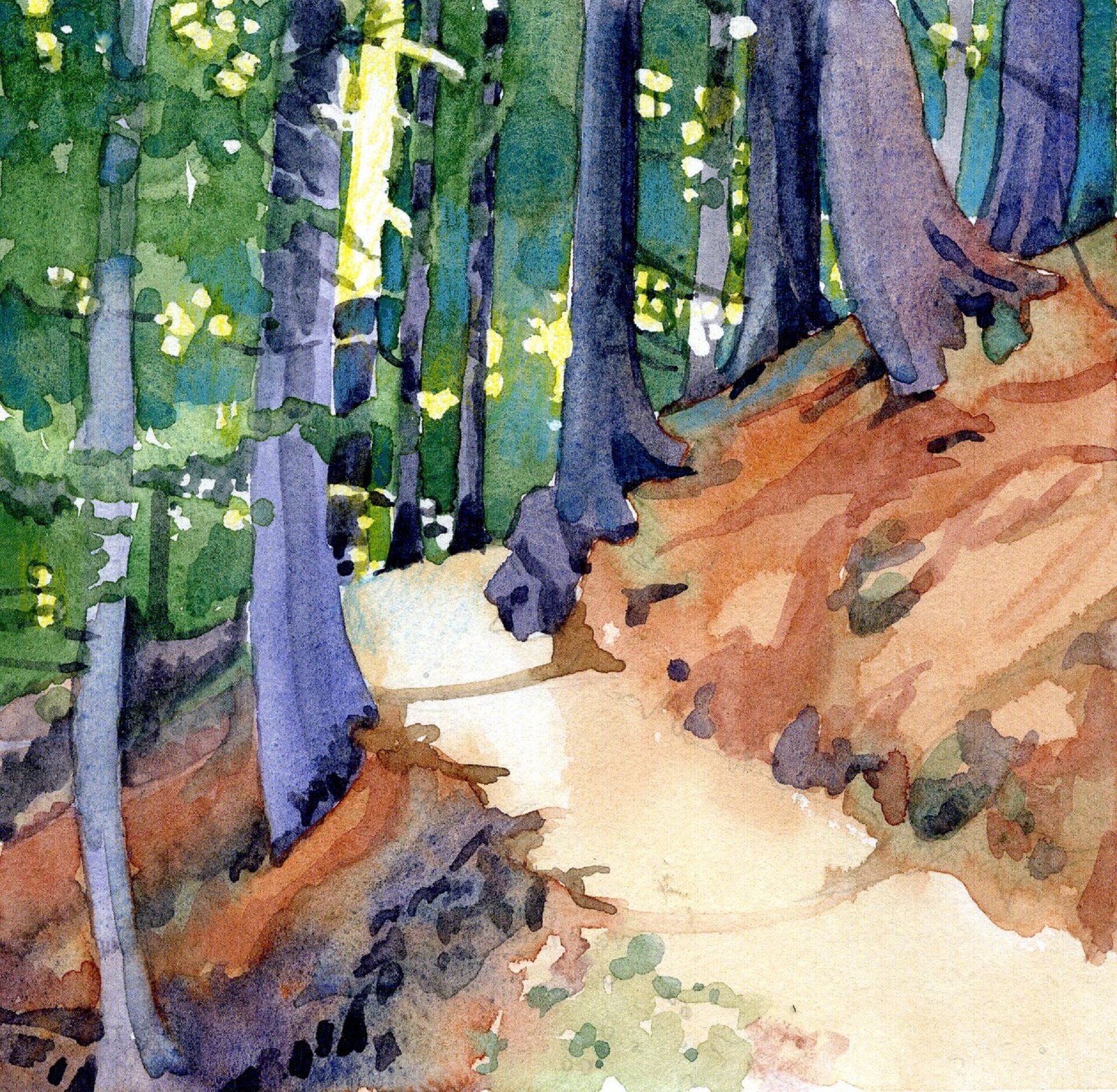
At the foot of the prestigious peaks of Valfréjus, get ready to succumb to the many charms of the high mountains. Punta Bagna, Pointe de Fréjus, Pointe d'Arrondaz... here they all are, watching over you. When you arrive on the plateau, you'll be greeted by herds of animals, traditional chalets, and a clear sky: a truly captivating sight that'll make you forget all about the valley below. In the silence of the alpine meadows, broken only by the bells of the herds and the murmur of the Grand Vallon torrent, stop at the Arrondaz chalets to bask in the tranquillity of this protected area. At this time of year, it's hard to imagine this area blanketed in snow... The way back to the resort involves a descent 660 metres, take care on the way down. It'll be a challenge for your legs and ankles if you're not used to skipping along on rocky trails. Go at your own pace and breathe in the fresh air.
To guide you in the field, consult the "step-by-step" directional diagram provided in pdf.
Clothing adapted to the season and conditions (cold, hot, humid…)
Hiking boots adapted to the terrain (even for children!)
Hiking poles (useful for stability and to relieve joints)
Mobile phone and spare battery
Before leaving:
Check the general and local weather, ensuring no precipitation Get information about the approach walk, height of the route, duration, possible escape (IGN map, GPS, guidebook, etc…) Assess possible risks by consulting mountain professionals, refuges, lodges Inform a close person of your objective and contact them in case of change: departure and return times, number of participants with each person’s phone number, vehicle(s), parking Avoid leaving alone, use equipment suitable for the activity, adjusted and in good condition, headlamp, complete first aid kit, survival blanket, etc…In case of problem
Alert: call 112 (European emergency number)
5 key points to transmit your alert:
Where? municipality, place, route, altitude Who? identity, phone number What? type of accident, number of victims, severity, fall dynamics When? time of accident Weather? wind, visibilityAs hazards may occur at any time on the routes, the GPX tracks provided are not contractual. They are given for information only. Riders use them at their own risk, depending on their level of technological proficiency and their understanding of the terrain.
Oblíbené prohlídky v okolí
-
4.5
BARDONECCHIA Pian del Colle - Valle Stretta
středníSněžnice 5.02 km -
5.0
BARDONECCHIA Colle Sommeiller
středníMountainbike 25.4 km -
5.0
BARDONECCHIA Forte Jafferau Loop
heavyMountainbike 36.8 km -
5.0
BARDONECCHIA Green Lake
světloTuristika 2.14 km -
4.5
BARDONECCHIA Walter Bonatti Path - Grange della Rho
středníTuristika 6.06 km -
5.0
BARDONECCHIA Decauville
středníTuristika 7.29 km -
BARDONECCHIA Lago Verde
světloMountainbike 10.7 km -
BARDONECCHIA Monte Jafferau
heavyTuristika 11.6 km -
BARDONECCHIA Rochemolles Dam - Scarfiotti Refuge
středníTuristika 7.77 km -
4.0
BARDONECCHIA Sentiero dei Cosetti by Luciano Ferraris
světloTuristika 3.24 km
Pěší turistika a stopování


Nenechte si ujít nabídky a inspiraci pro vaši příští dovolenou
Vaše e-mailová adresa byl přidán do poštovního seznamu.