Violay - Le Chevalier - Chapelle Saint-Roch - Église Saint-Georges
střední
Navigace na stránkách
Navigace na stránkách
Pořiďte si tuto prohlídku do mobilního telefonu
Violay - Le Chevalier - Chapelle Saint-Roch - Église Saint-Georges
střední
Turistika
9.42
km
Naskenujte QR kód a spusťte navigaci v aplikaci bergfex.

Pěší turistika a stopování


Violay - Le Chevalier - Chapelle Saint-Roch - Église Saint-Georges
střední
Vzdálenost
9.42
km
Doba trvání
02:29
h
Ascent
275
hm
Hladina moře
647 -
879
m
Stažení skladby
Violay - Le Chevalier - Chapelle Saint-Roch - Église Saint-Georges
střední
Turistika
9.42
km
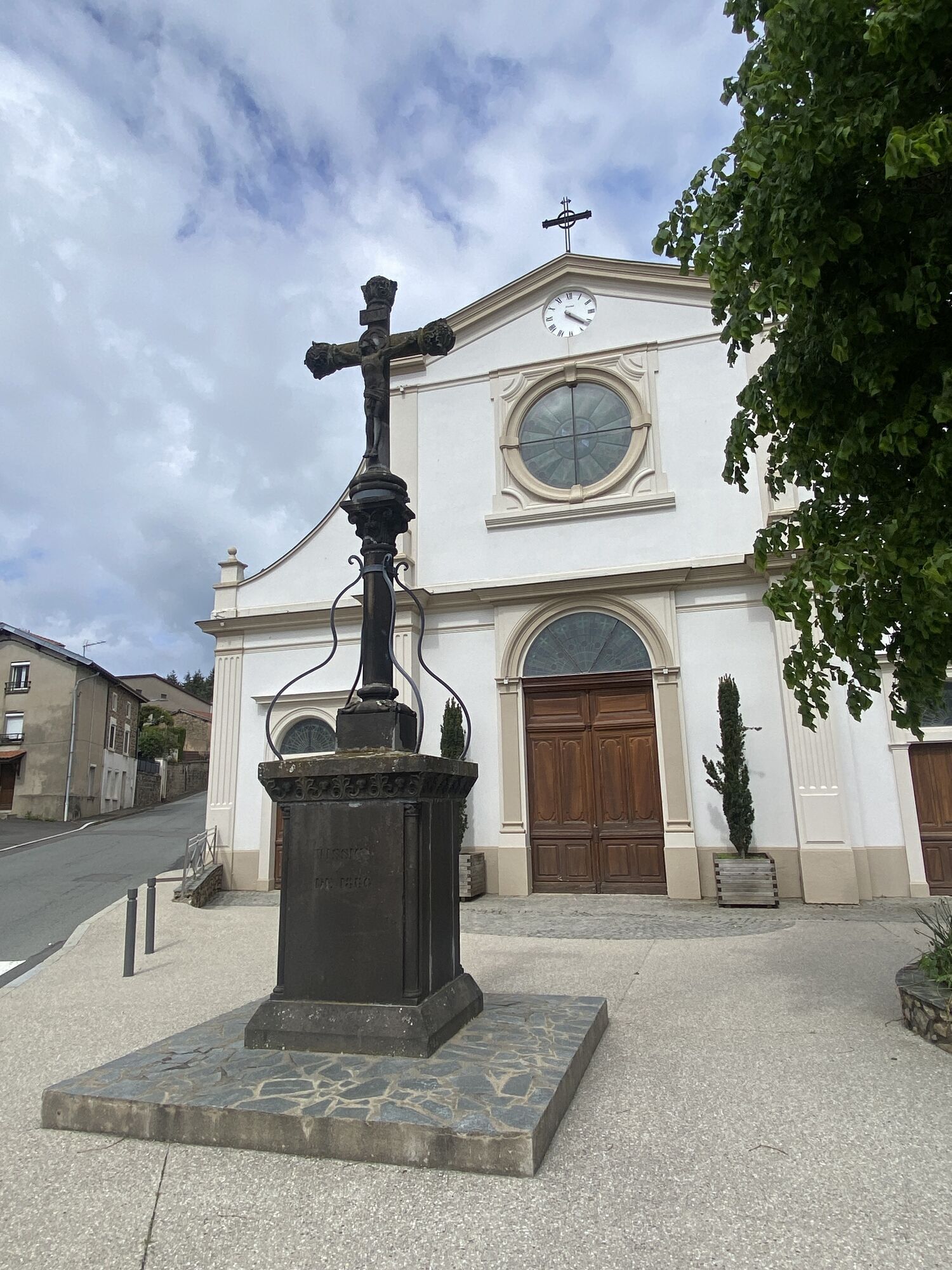
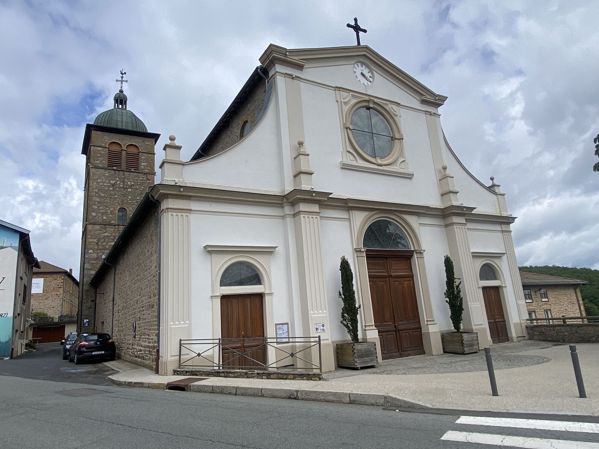
Fotografie našich uživatelů
Trasa
Violay
(826 m)
Vesnice
0.1 km
Échansieux
(673 m)
Vypořádání
3.9 km
Chapelle Saint-Roch
(842 m)
Místo konání bohoslužeb
9.0 km
Église Saint-Georges
(831 m)
Místo konání bohoslužeb
9.2 km
Violay
(826 m)
Vesnice
9.3 km
Trasa
Violay - Le Chevalier - Chapelle Saint-Roch - Église Saint-Georges
střední
Turistika
9.42
km
Violay
(826 m)
Vesnice
0.1 km
Le Chevalier
(696 m)
Vypořádání
2.5 km
Échansieux
(673 m)
Vypořádání
3.9 km
Chez Remède
(842 m)
Vypořádání
7.9 km
Lotissement René Linder
(838 m)
Sousedství
8.9 km
Chapelle Saint-Roch
(842 m)
Místo konání bohoslužeb
9.0 km
Église Saint-Georges
(831 m)
Místo konání bohoslužeb
9.2 km
Loïc Picamal
(828 m)
Restaurace
9.3 km
Violay
(826 m)
Vesnice
9.3 km
Zatím žádné recenze
Oblíbené prohlídky v okolí
-
Circuit de découverte du patrimoine
světloTuristika 2.19 km -
Des dégringoules* au vert - Beaujolais - Amplepuis
světloTuristika 5.13 km -
Malá prohlídka pohoří Crêt d'Arjoux - Monts du Lyonnais - Saint-Julien-sur-Bibost
světloTuristika 4.93 km -
The forest of Brou - Beaujolais - Dième
světloNordic Walking 10.5 km -
Ma première nuit étoilée - Beaujolais - Tarare
heavyTuristika 36.5 km -
Circuit VTT n°113 rouge : En lisière des communes
heavyMountainbike 16.8 km -
Monts du Lyonnais - The Chamousset country loop - 2.3
světloSilniční kolo 34.9 km -
The chapel of La Salette - Beaujolais Vert - Joux
heavyTuristika 19.9 km -
Circuit VTT n°107 rouge : Les 3 rivières
heavyMountainbike 19.1 km -
Rundweg Rechagny
světloTuristika 4.70 km
Pěší turistika a stopování

Více než 550.000 návrhů výletů, podrobné mapy a intuitivní plánovač tras dělají z aplikace nezbytnou výbavu pro všechny milovníky přírody.

Nenechte si ujít nabídky a inspiraci pro vaši příští dovolenou
Přihlaste se k odběru newsletteru
Chyba
Došlo k chybě. Zkuste to prosím znovu.
Děkujeme za vaši registraci
Vaše e-mailová adresa byl přidán do poštovního seznamu.
Zájezdy po celé Evropě
Rakousko
Švýcarsko
Německo
Itálie
Slovenia
Francie
Nizozemsko
Belgie
Polsko
Lichtenštejnsko
Česko
Slovensko
Španělsko
Chorvatsko
Bosna a Hercegovina
Lucembursko
Andorra
Portugal
Iceland
United Kingdom
Ireland
Greece
Albania
North Macedonia
Malta
Norway
Montenegro
Moldova
Kosovo
Hungary
San Marino
Romania
Estonia
Latvia
Belarus
Cyprus
Lithuania
Serbia
Bulgaria
Monaco
Denmark
Sweden
Finland