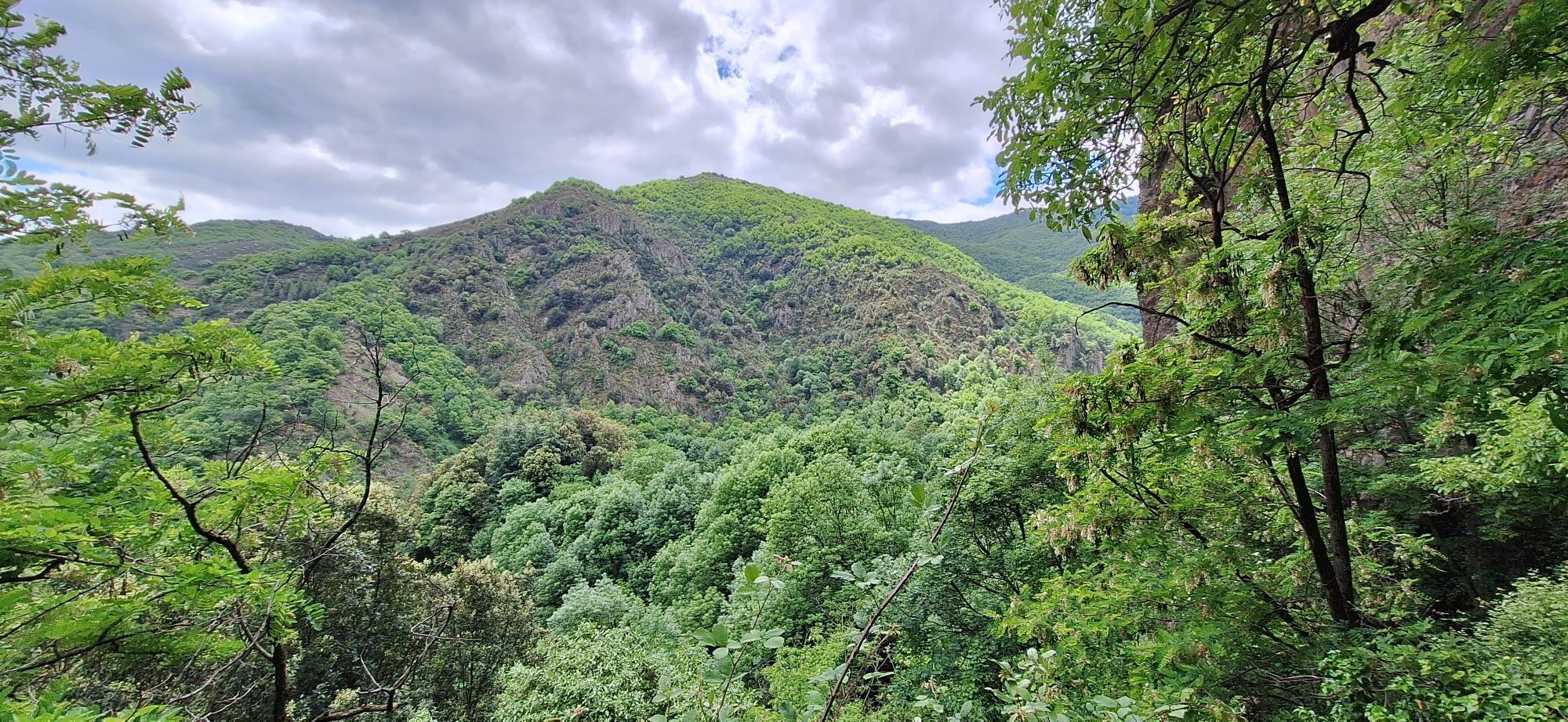
Montpezat-sous-Bauzon - Sommet de Prat Berland - Chapelle Saint-Roch - Thueyts
heavy
Pořiďte si tuto prohlídku do mobilního telefonu
Montpezat-sous-Bauzon - Sommet de Prat Berland - Chapelle Saint-Roch - Thueyts
heavy
Turistika
16.60
km
Naskenujte QR kód a spusťte navigaci v aplikaci bergfex.

Pěší turistika a stopování


Montpezat-sous-Bauzon - Sommet de Prat Berland - Chapelle Saint-Roch - Thueyts
heavy
Vzdálenost
16.60
km
Doba trvání
05:04
h
Ascent
764
hm
Hladina moře
385 -
1042
m
Stažení skladby
Montpezat-sous-Bauzon - Sommet de Prat Berland - Chapelle Saint-Roch - Thueyts
heavy
Turistika
16.60
km
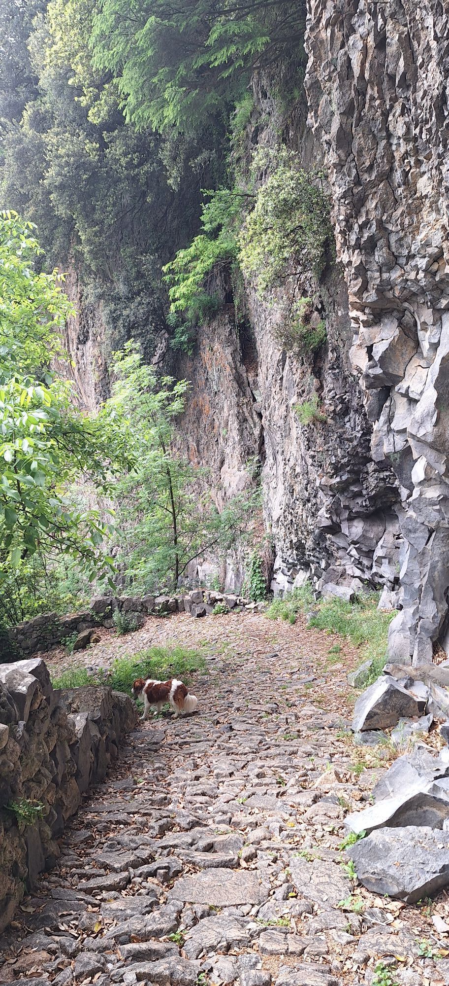
Trasa
Sommet de Prat Berland
(831 m)
Summit
1.5 km
Chapelle Saint-Roch
(480 m)
Místo konání bohoslužeb
11.3 km
Thueyts
(466 m)
Vesnice
11.7 km
Belvédère de la Chaussée des Géants
(458 m)
Úhel pohledu
12.8 km
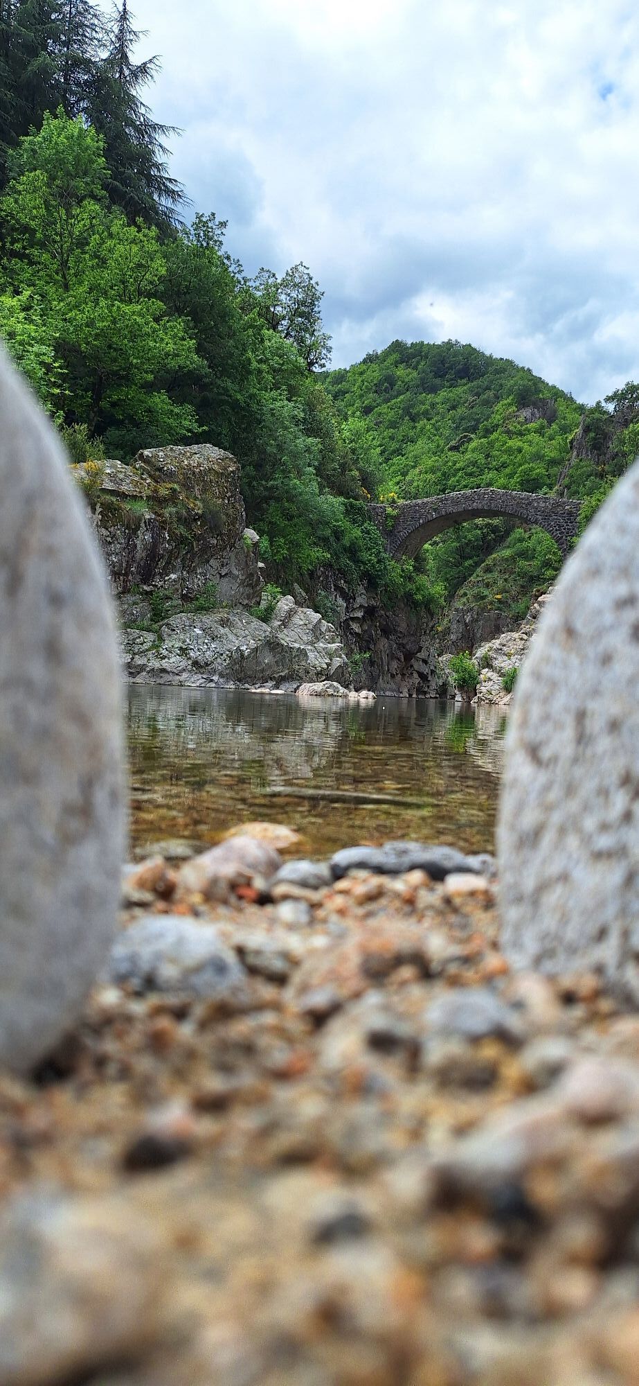
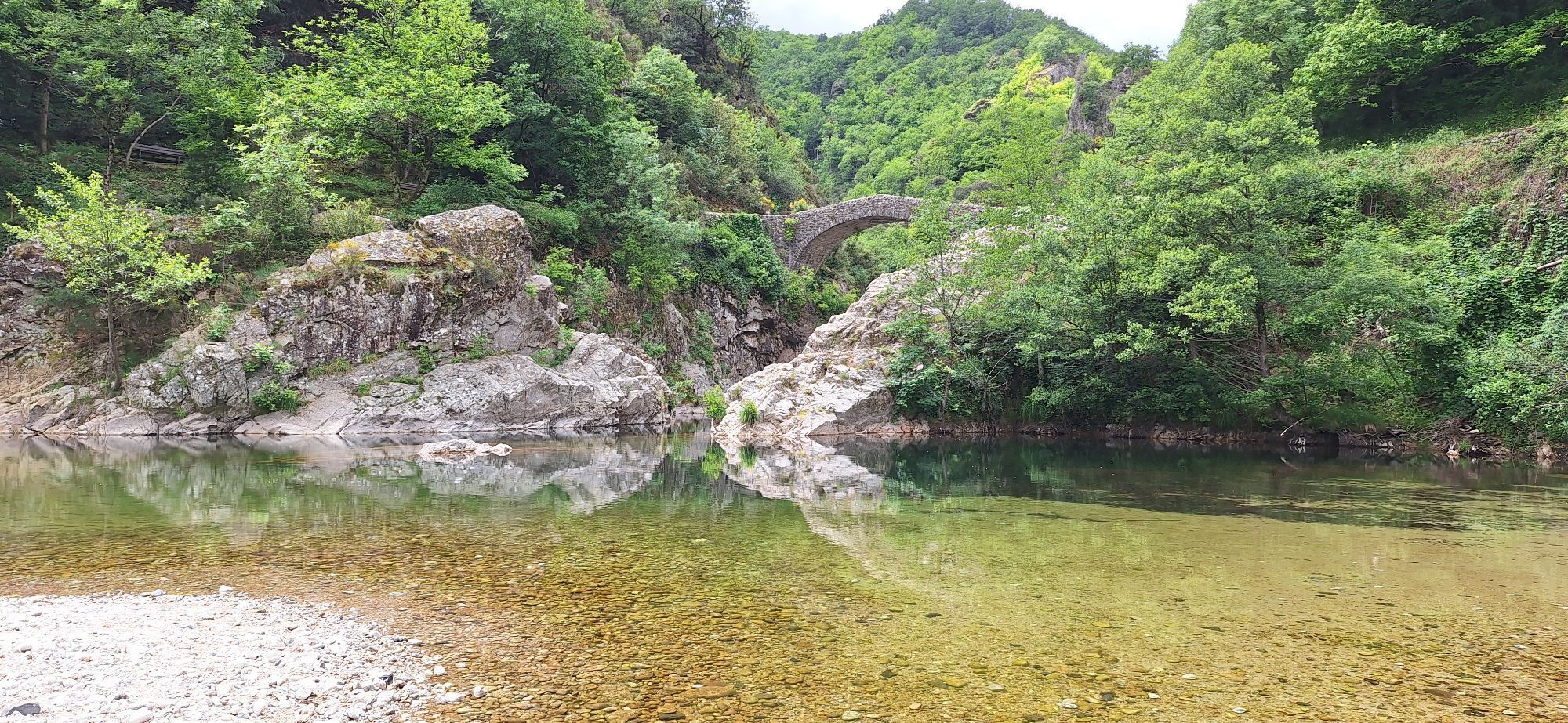
Pont du Diable
(389 m)
Úhel pohledu
13.2 km
Église Saint-Jean Baptiste
(471 m)
Místo konání bohoslužeb
14.0 km
Trasa
Montpezat-sous-Bauzon - Sommet de Prat Berland - Chapelle Saint-Roch - Thueyts
heavy
Turistika
16.60
km
Sommet de Prat Berland
(831 m)
Summit
1.5 km
Chapelle Saint-Roch
(480 m)
Místo konání bohoslužeb
11.3 km
Thueyts
(466 m)
Vesnice
11.7 km
Belvédère de la Chaussée des Géants
(458 m)
Úhel pohledu
12.8 km
Pont du Diable
(389 m)
Úhel pohledu
13.2 km
Église Saint-Jean Baptiste
(471 m)
Místo konání bohoslužeb
14.0 km
Zatím žádné recenze
Oblíbené prohlídky v okolí
-
Cascade du Ray-Pic
světloTuristika 1.33 km -
Wanderwege – Brücke Mayres Runde von Mayres
Turistika 11.3 km -
Fontaine des Herbeaux - Église Saint-Philibert - Gîte d'Etape du col de la Chavade - La Charrette des Saveurs
Mountainbike 54.6 km -
La Source Géographique de la Loire - Gîte d'Etape du col de la Chavade - Col du Pendu - Le Pegan
heavyJízda na kole 70.7 km -
Le Chastelas - Église Saint-Sauveur - Refuge de la Croix de Bauzon - Église Saint-Bonnet
Mountainbike 53.2 km -
Chapelle du monastère Sainte-Claire - Le Pont de l'Ocre - Pont de Bridou - La Valette Inférieure
světloJízda na kole 22.6 km -
Jaujac - Les Soulhets - Fabras - Église Saint-Bonnet
Mountainbike 17.4 km -
Jaujac - La Peyrouse - Saint-Cirgues-de-Prades - Église Saint-Bonnet
Mountainbike 20.0 km -
Saint-Andéol-de-Vals - Régenge - Église Saint-Joseph - Chapelle du monastère Sainte-Claire
heavyJízda na kole 68.8 km -
Chapelle du monastère Sainte-Claire - Le Pont de l'Ocre - Pont de Bridou - Église Saint-Vincent
heavyJízda na kole 47.6 km
Pěší turistika a stopování

Více než 550.000 návrhů výletů, podrobné mapy a intuitivní plánovač tras dělají z aplikace nezbytnou výbavu pro všechny milovníky přírody.

Nenechte si ujít nabídky a inspiraci pro vaši příští dovolenou
Přihlaste se k odběru newsletteru
Chyba
Došlo k chybě. Zkuste to prosím znovu.
Děkujeme za vaši registraci
Vaše e-mailová adresa byl přidán do poštovního seznamu.
Zájezdy po celé Evropě
Rakousko
Švýcarsko
Německo
Itálie
Slovenia
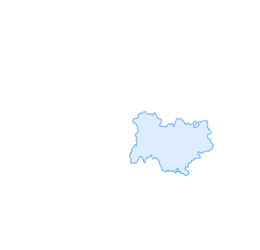
Francie
Nizozemsko
Belgie
Polsko
Lichtenštejnsko
Česko
Slovensko
Španělsko
Chorvatsko
Bosna a Hercegovina
Lucembursko
Andorra
Portugal
Iceland
United Kingdom
Ireland
Greece
Albania
North Macedonia
Malta
Norway
Montenegro
Moldova
Kosovo
Hungary
San Marino
Romania
Estonia
Latvia
Belarus
Cyprus
Lithuania
Serbia
Bulgaria
Monaco
Denmark
Sweden
Finland