
In the footsteps of the Roman aqueduct of the Gier
světlo
Pořiďte si tuto prohlídku do mobilního telefonu
In the footsteps of the Roman aqueduct of the Gier
světlo
Turistika
10.81
km
Naskenujte QR kód a spusťte navigaci v aplikaci bergfex.


Pěší turistika a stopování




In the footsteps of the Roman aqueduct of the Gier
světlo
Vzdálenost
10.8
km
Doba trvání
02:40
h
Ascent
134
hm
Hladina moře
260 -
375
m

Navigujte po trase v aplikaci
Nainstalujte si aplikaci zdarma a mějte trasu vždy na očích díky GPS navigaci a sledování polohy.
Využijte nyní službu „ bergfex “ v aplikaci
Naskenuj QR kód pomocí fotoaparátu
Jakmile je aplikace nainstalována, obsah se otevře přímo. Pokud aplikaci ještě nemáš, budeš přesměrován na stránku, kde si ji můžeš zdarma stáhnout.
Stažení skladby
In the footsteps of the Roman aqueduct of the Gier
světlo
Turistika
10.81
km
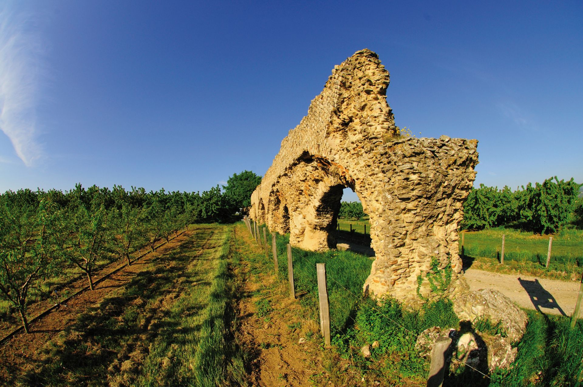
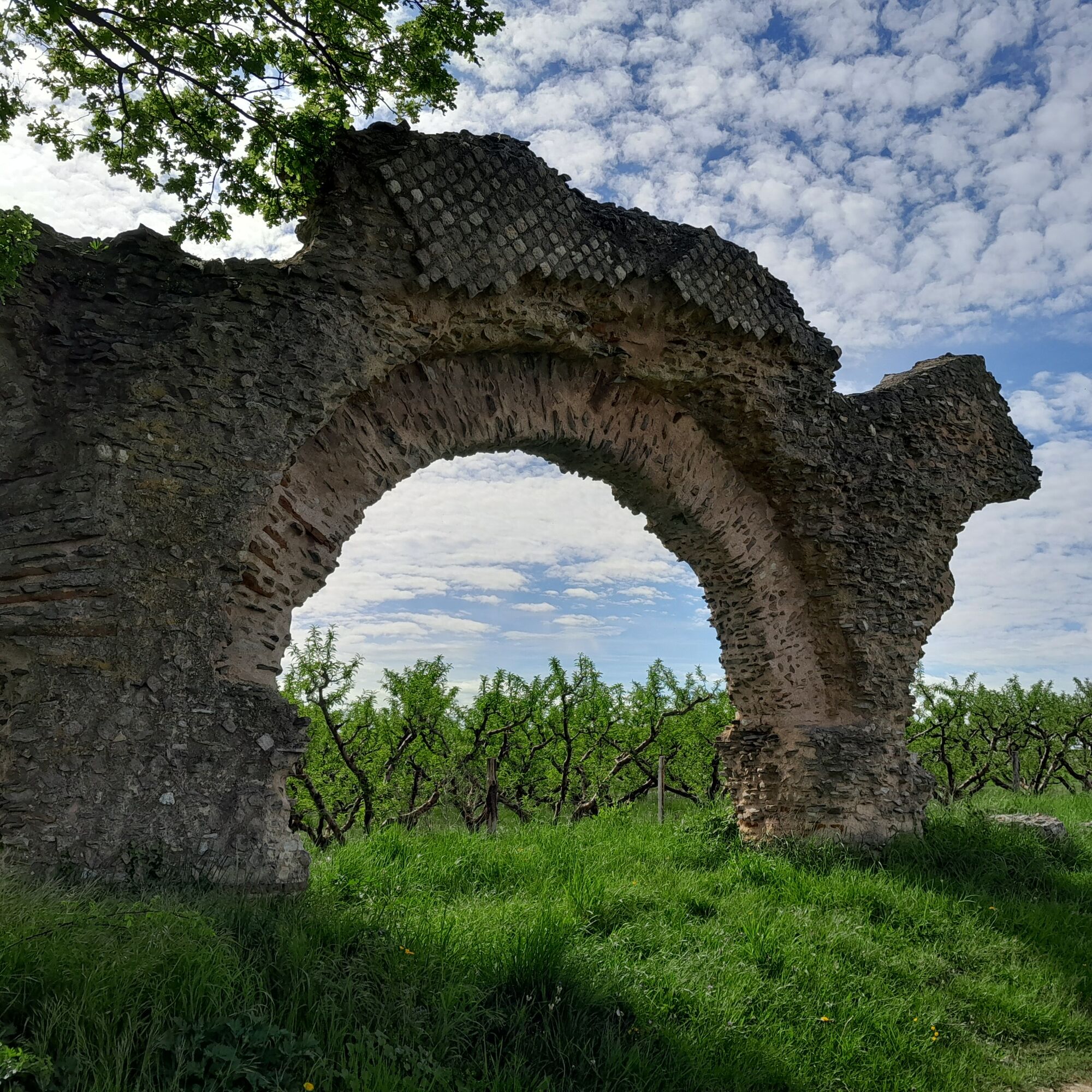
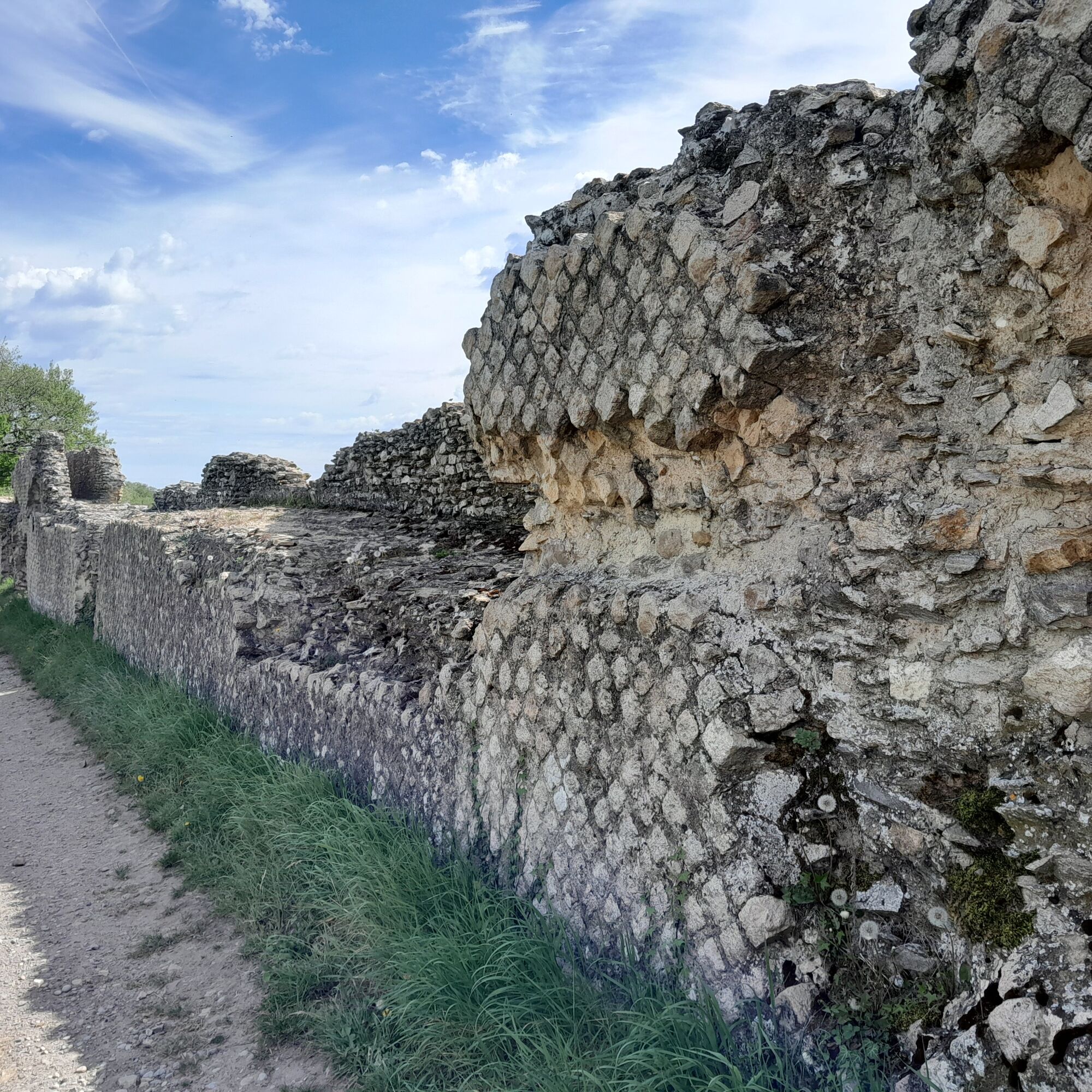
From the start at the Stade post follow - Verchery – Bel Air - Furon - Le Combard - Prasseytout - The Stade
Trasa
La Flette
(345 m)
Koridor/terén
10.0 km
Soucieu-en-Jarrest
(335 m)
Vesnice
10.1 km
Trasa
In the footsteps of the Roman aqueduct of the Gier
světlo
Turistika
10.81
km
La Flette
(345 m)
Koridor/terén
10.0 km
Soucieu-en-Jarrest
(335 m)
Vesnice
10.1 km
Autor
Poskytuje Monts du Lyonnais
Prohlídku In the footsteps of the Roman aqueduct of the Gier zajišťuje outdooractive.com.


Vybavení
Equipment suitable for hiking is recommended.
Bezpečnostní pokyny
In case of emergency, call 112.
Informace o příjezdu
Parkování
Park in the stadium parking lot in Soucieu en Jarrest
Další informace a tipy
Další informace
Please stay on the trails and respect the crops. Remember to bring sufficient water, hiking shoes and clothes suitable for your outing depending on the weather forecast. A small first aid kit is also recommended.
Tipy
The Saint Vincent chapel perched on its rocky spur offers an exceptional panorama of the Rhône valley.
Zatím žádné recenze
Oblíbené prohlídky v okolí
-
5.0
Walk to the Garon siphon bridge of the Roman Aqueduct of Gier
světloTuristika 6.08 km -
Roman Gier Aqueduct path
heavyTuristika 44.4 km -
The Signal - Monts du Lyonnais - Saint-André-la Côte
světloTuristika 14.5 km -
The Tacot, ephemeral journey
světloTematická stezka 1.91 km -
Wine trails at the heart of the vineyards
světloTuristika 4.92 km -
Let's walk in the woods - Monts du Lyonnais - Pollionnay
světloTuristika 12.6 km -
Walking towards the Aqueduct of Gier - Monts du Lyonnais - Chaponost
světloTuristika 8.25 km -
Health-sport hike: the Croix Forest bridge
světloTuristika 9.78 km -
Family hike "In the heart of the orchards"
světloTuristika 4.04 km -
MTB Route 231 - Les Landes de Montagny
heavyMountainbike 19.9 km
Pěší turistika a stopování

Více než 550.000 návrhů výletů, podrobné mapy a intuitivní plánovač tras dělají z aplikace nezbytnou výbavu pro všechny milovníky přírody.

Nenechte si ujít nabídky a inspiraci pro vaši příští dovolenou
Přihlaste se k odběru newsletteru
Chyba
Došlo k chybě. Zkuste to prosím znovu.
Děkujeme za vaši registraci
Vaše e-mailová adresa byl přidán do poštovního seznamu.
Zájezdy po celé Evropě
Rakousko
Švýcarsko
Německo
Itálie
Slovenia
Francie
Nizozemsko
Belgie
Polsko
Lichtenštejnsko
Česko
Slovensko
Španělsko
Chorvatsko
Bosna a Hercegovina
Lucembursko
Andorra
Portugal
Iceland
United Kingdom
Ireland
Greece
Albania
North Macedonia
Malta
Norway
Montenegro
Moldova
Kosovo
Hungary
San Marino
Romania
Estonia
Latvia
Belarus
Cyprus
Lithuania
Serbia
Bulgaria
Monaco
Denmark
Sweden
Finland





