





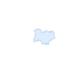

Running trail: Retord tour
Úroveň obtížnosti: T1
You will find yourself on the ridges which saw the birth of the triple winner of the Ultra Trail du Mont Blanc Xavier Thevenard for trail running and in the scenery of Luc Jacquet's film "The Fox and the Child".

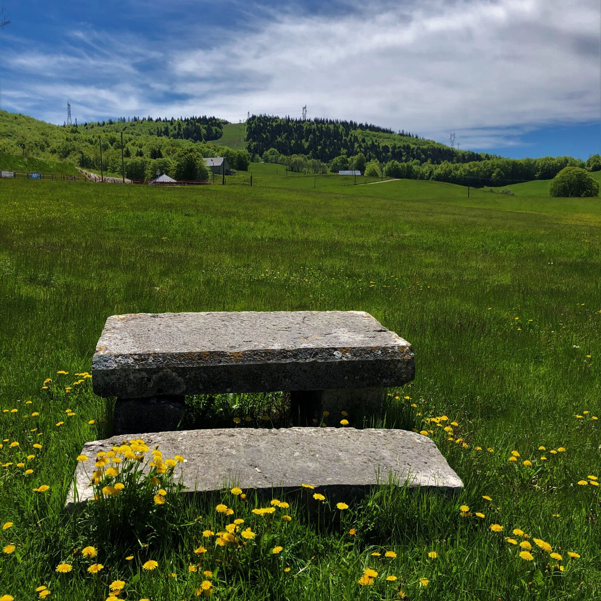
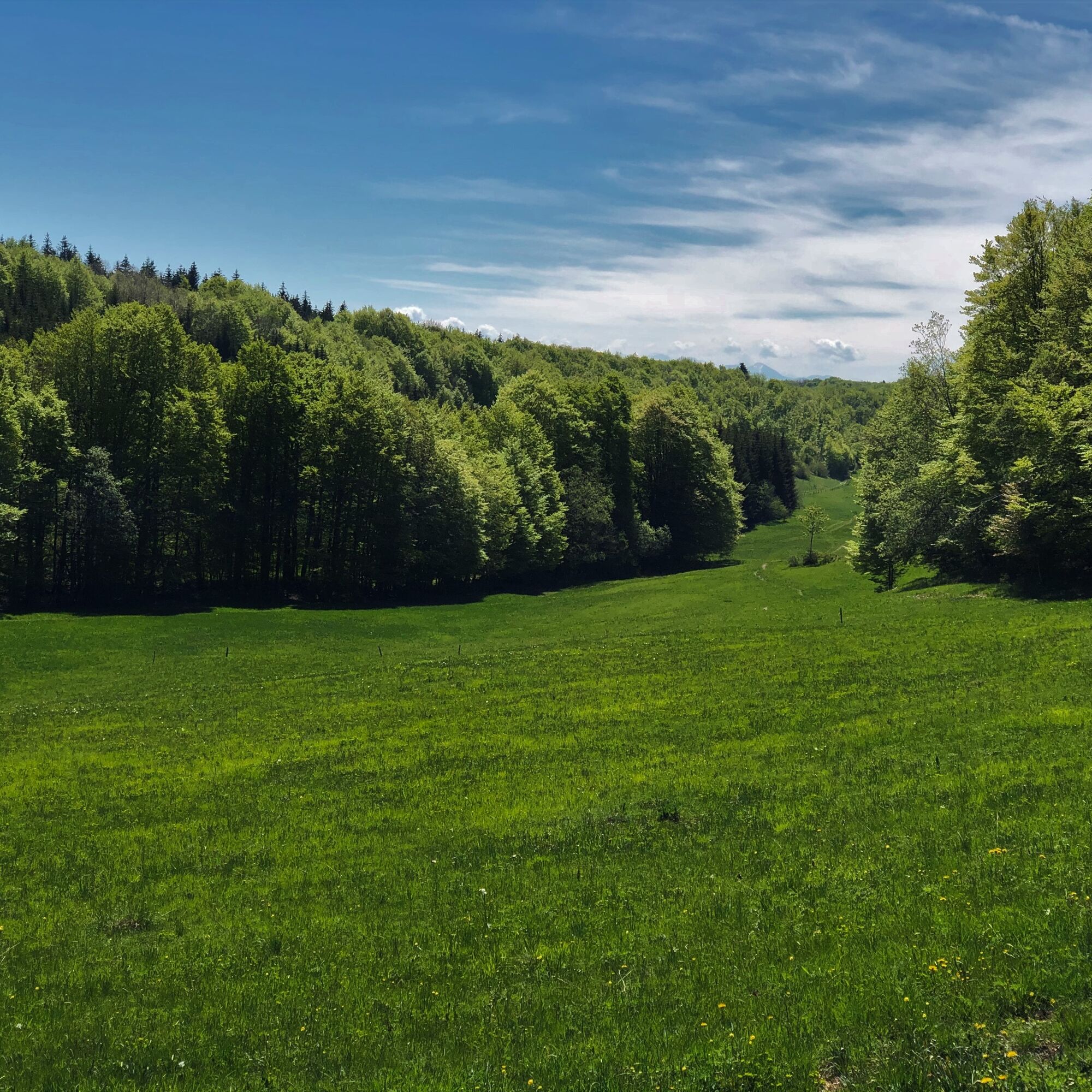
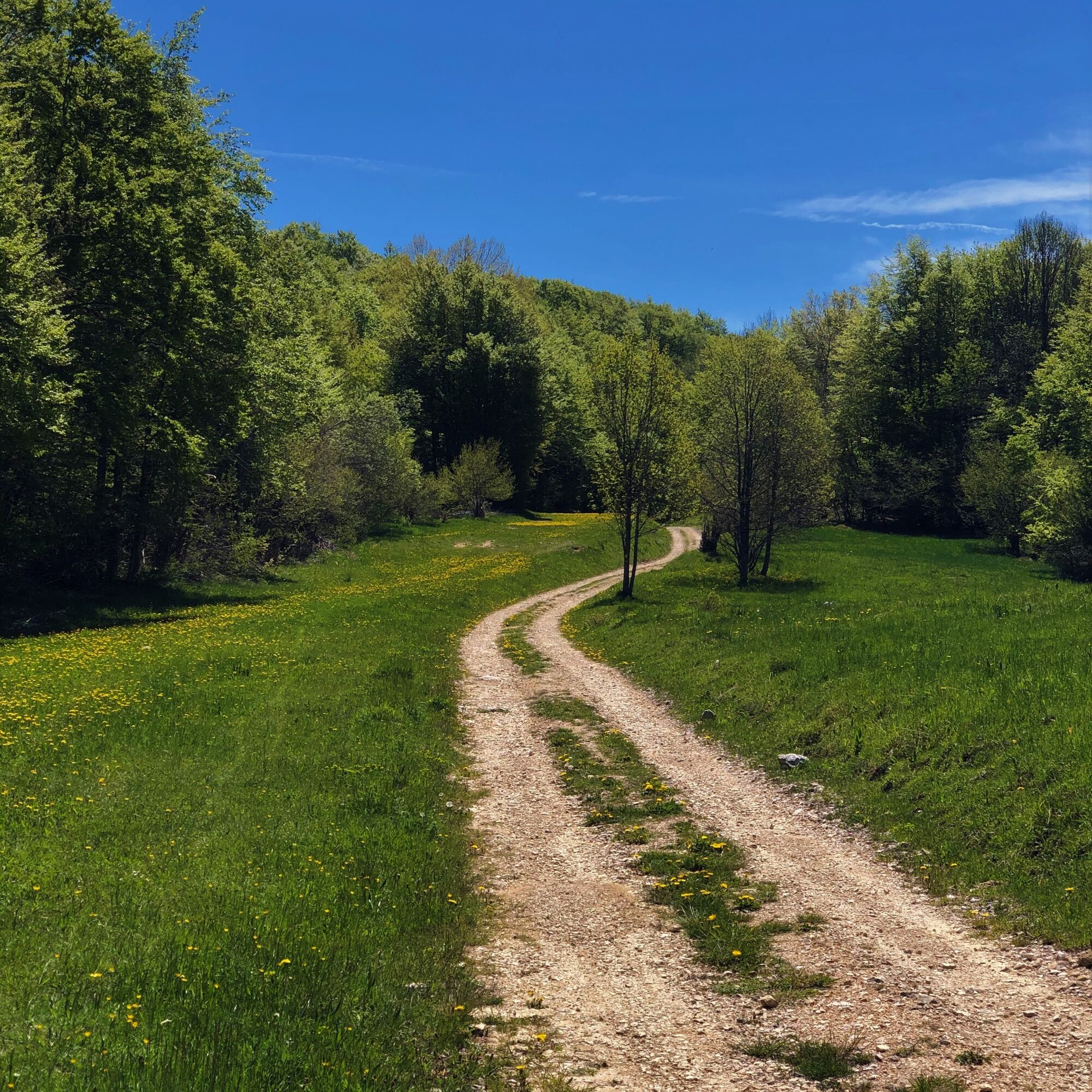
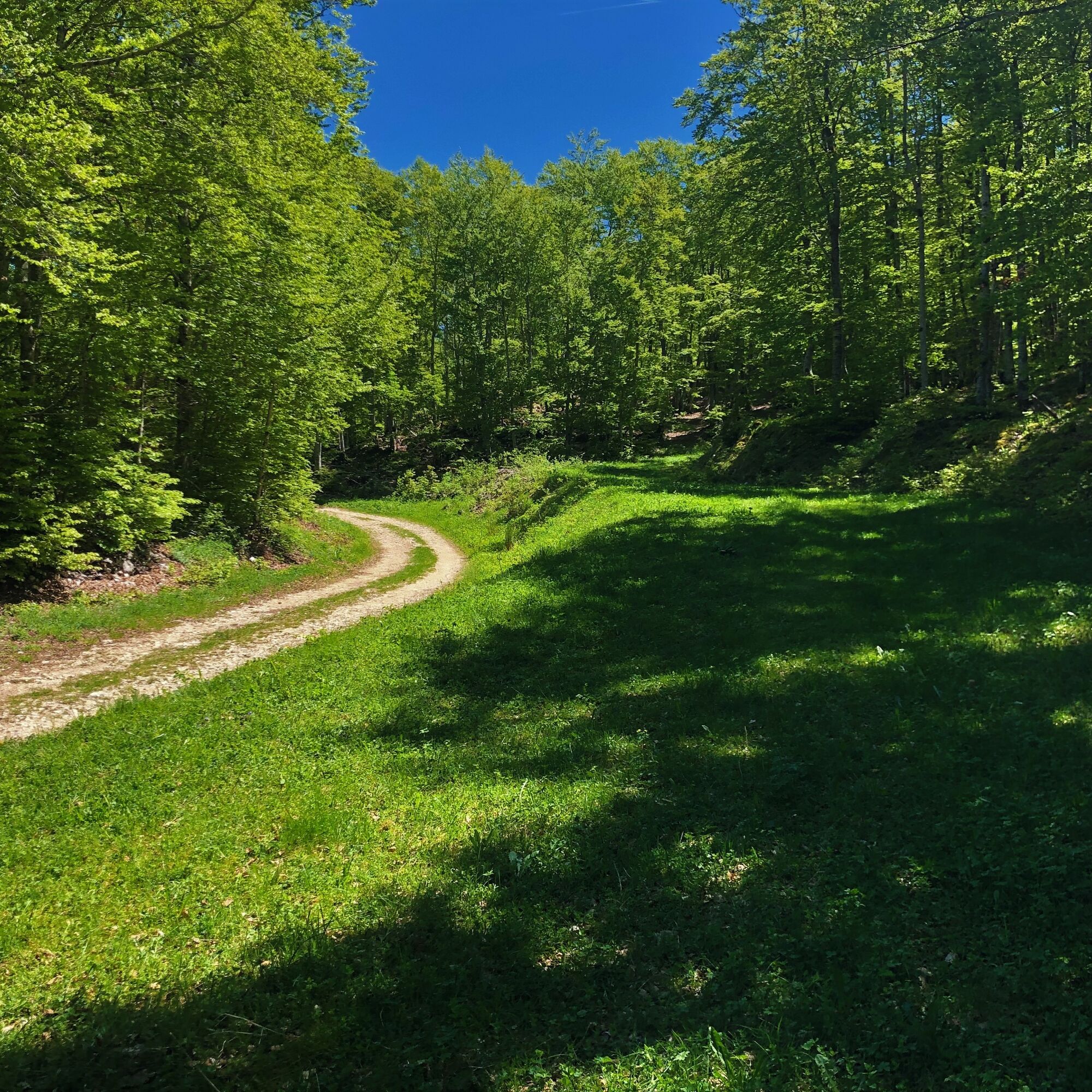
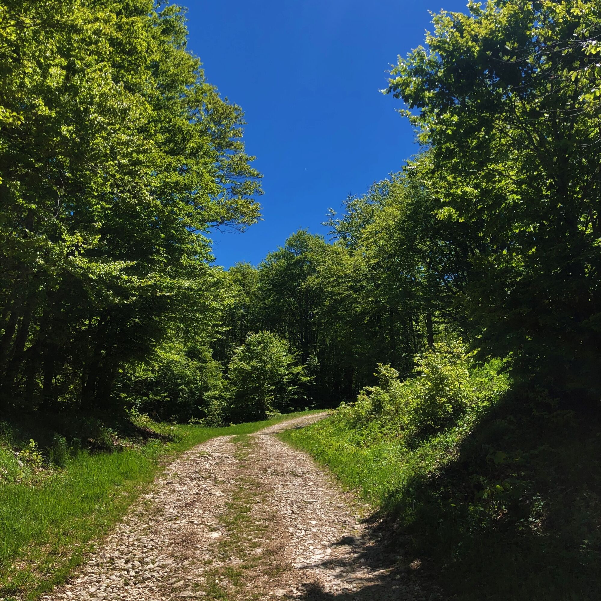
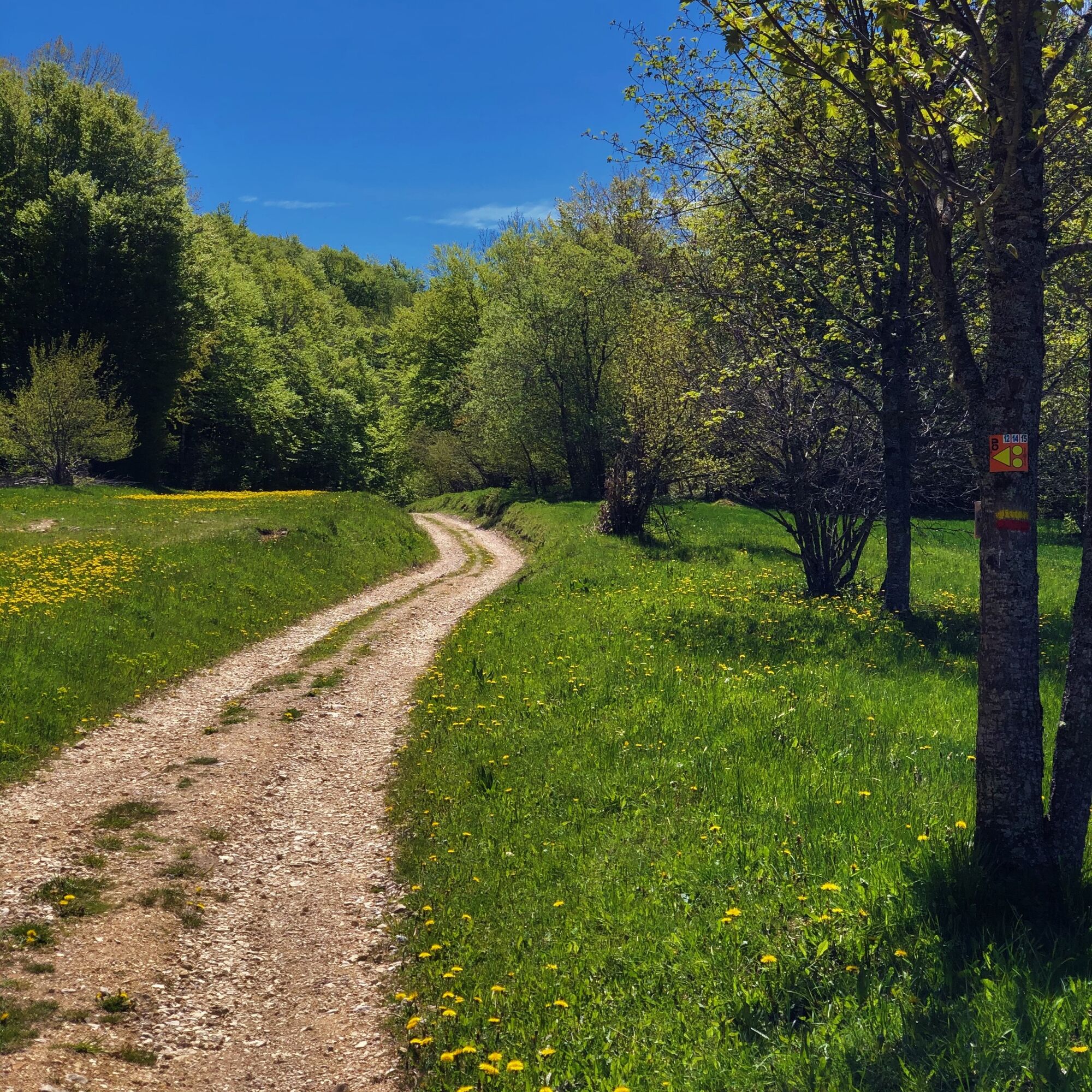
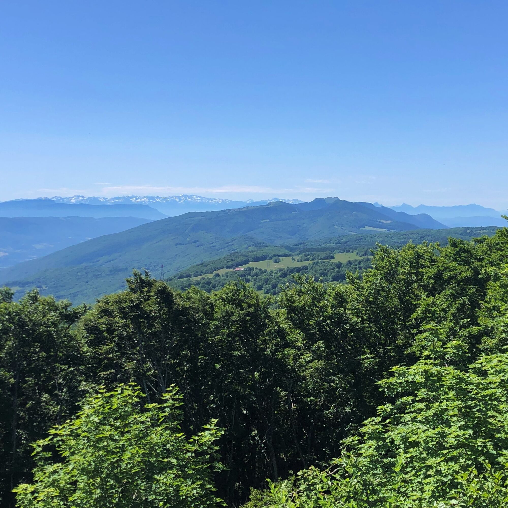
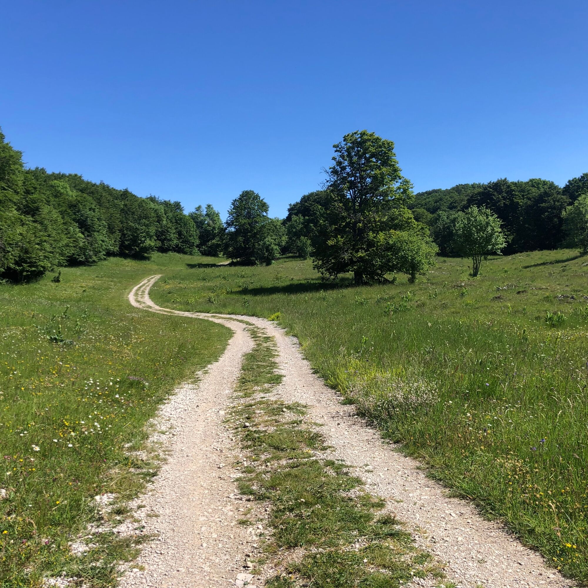
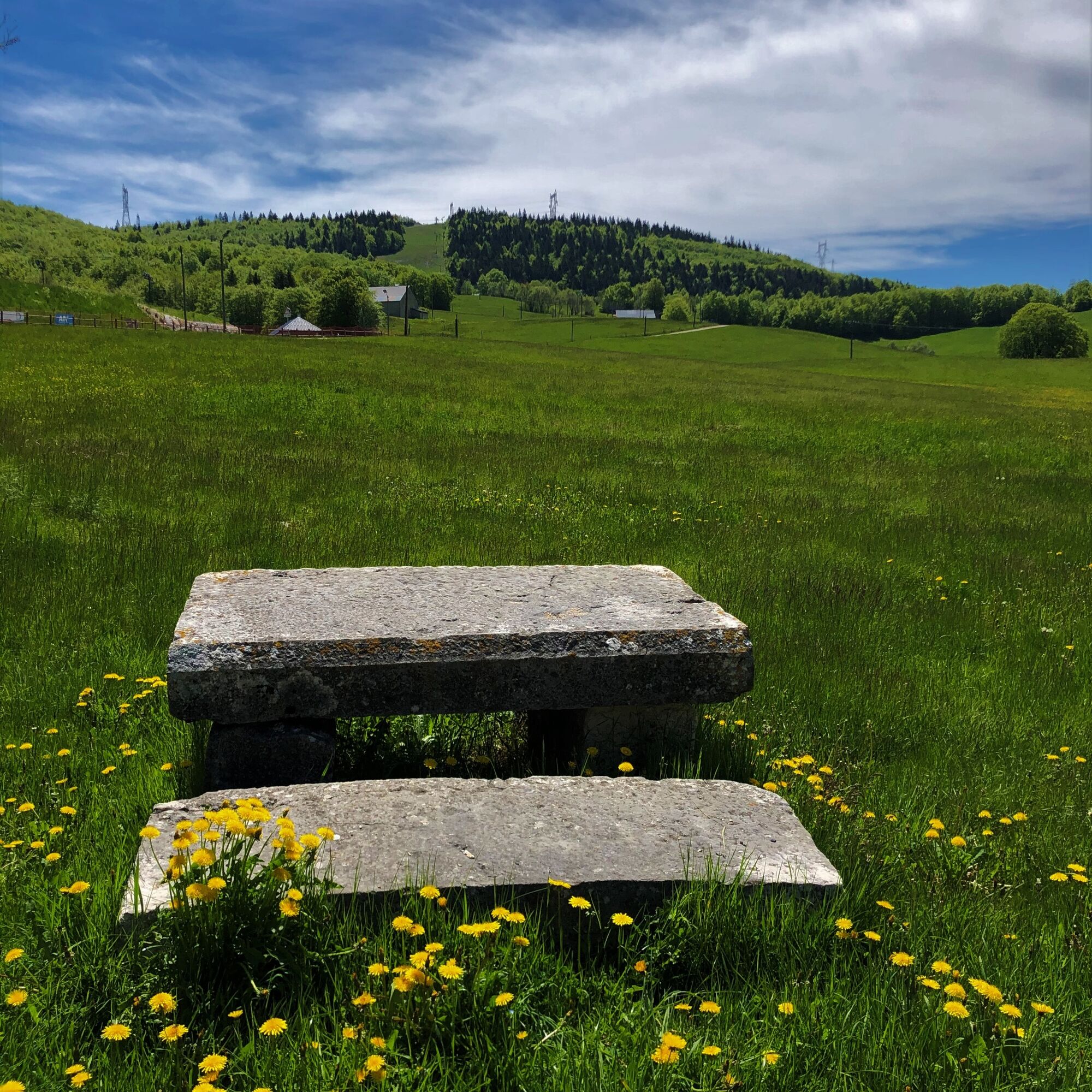
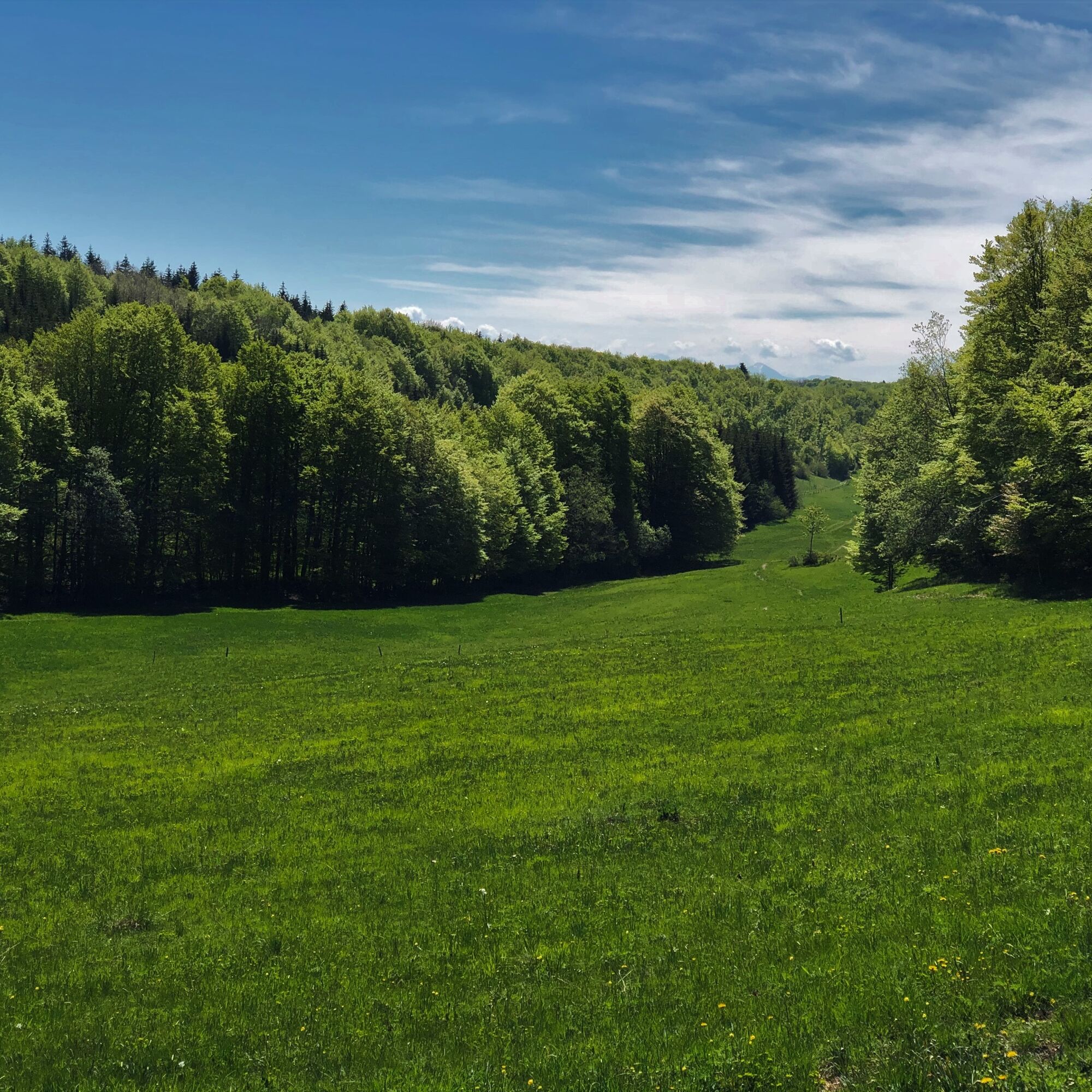
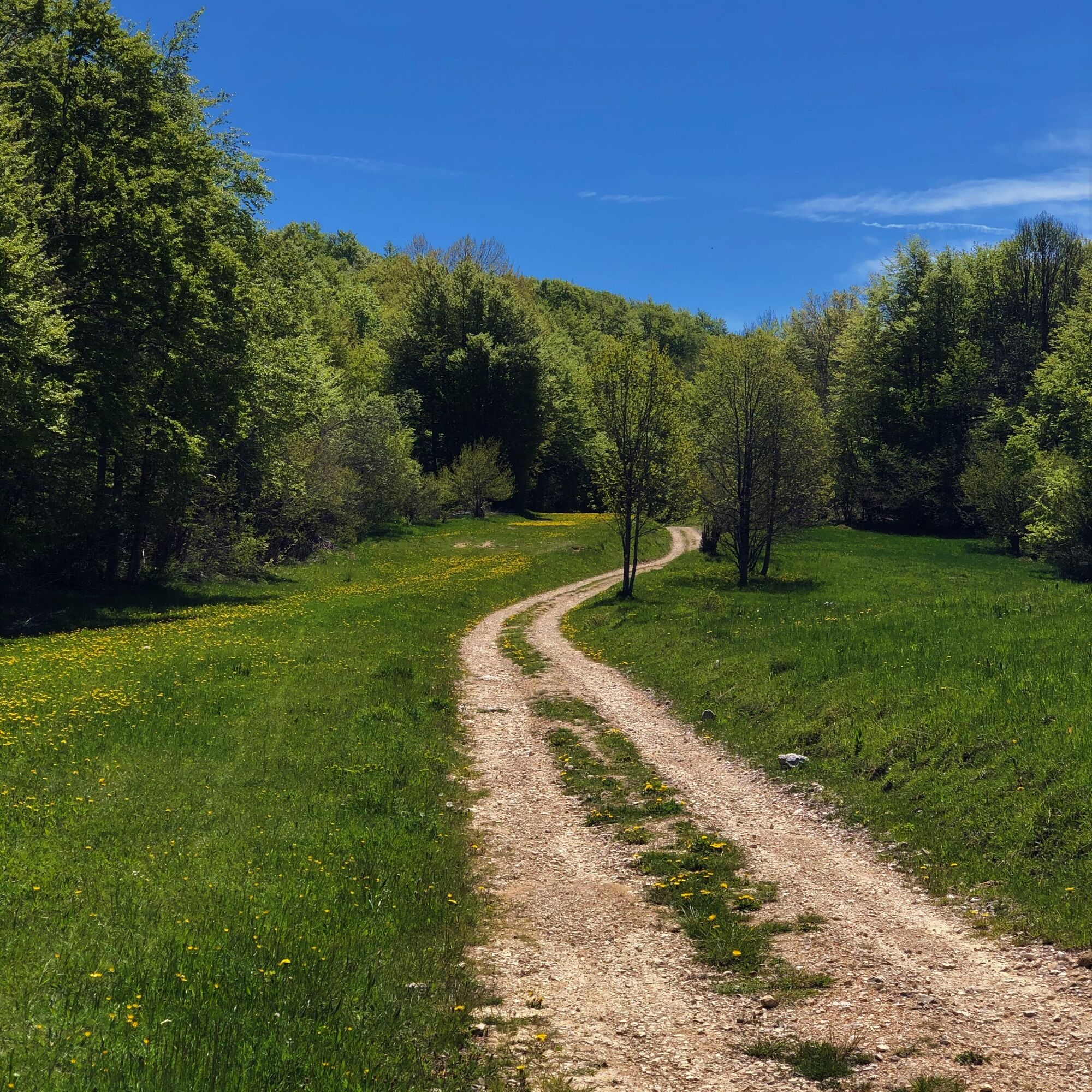
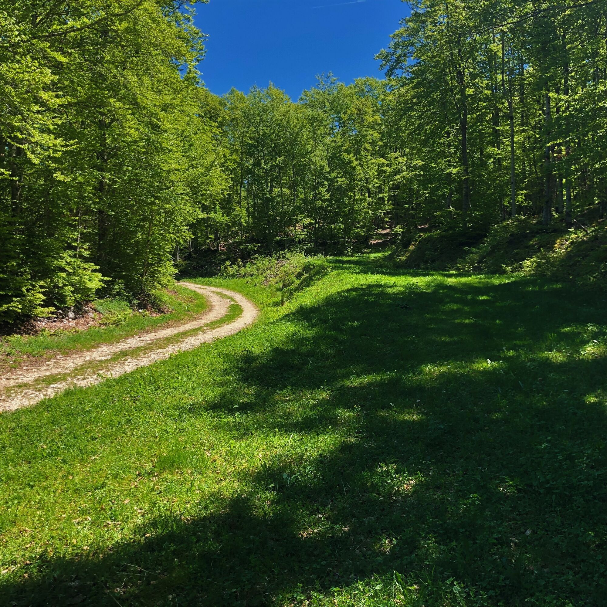
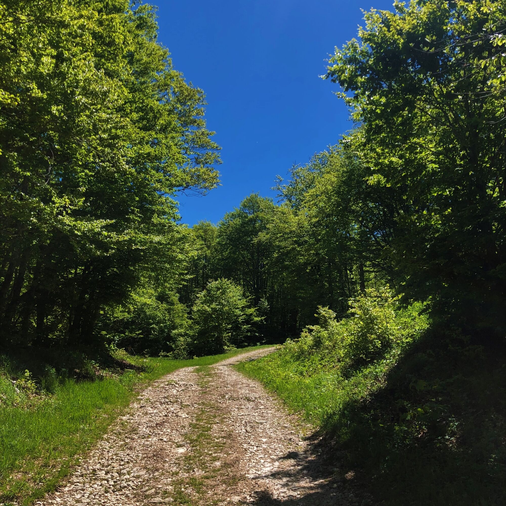
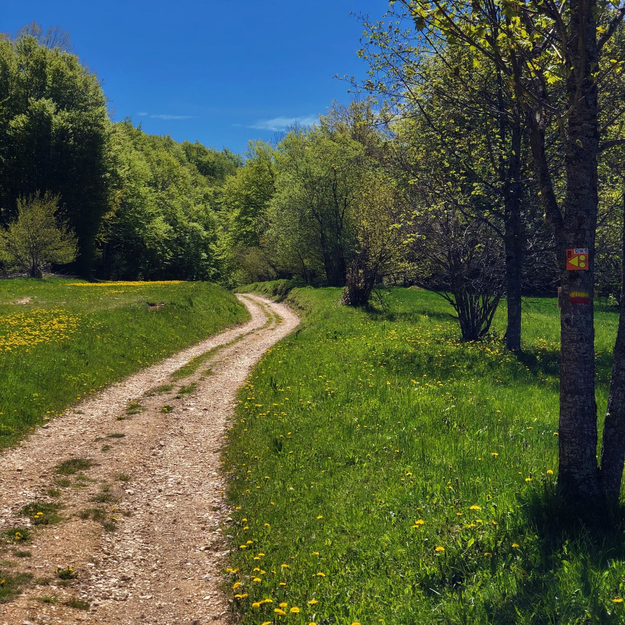

From the Tourist Office, follow the road east for 300 meters until the first signs, then follow La Croix des Terments, Le Crêt du Nu, Le Tumet, La Ferme de Retord, return via La Grange à Lucien, La Tour then follow the direction of the Plans d'Hotonnes.
Ano
Ano
No special equipment is required.
The route crosses the alpine pastures of the Plateau de Retord, great caution is recommended when you encounter a herd.
Some herds are accompanied by guard dogs; in this case, it is strongly recommended not to cross the herd but to go around it.
Please keep your dogs on a leash and always close the enclosures behind you.
Check the interactive Ma Patou map and learn the behavior to adopt: https://www.pasto-kezako.fr/ou-sont-les-chiens-de-protection-2/
Signage defects, incidents / safety, usage conflicts, illegal dumping? : locate and share the problem encountered on the national alert system via the SURICATE app or via the website https://sentinelles.sportsdenature.fr/
From Lyon, follow the A42 then the A40 towards Geneva until the Saint Martin du Fresne exit, from where the Plans d'Hotonnes resort is indicated.
From Mâcon, follow the A40 towards Geneva until the Saint Martin du Fresne exit, from where the Plans d'Hotonnes resort is indicated.
The Plans d'Hotonnes resort is not accessible by public transport.
Many parking spaces are available in the various parking lots of the Plans d'Hotonnes resort.
T1
APIDAE Tourism data updated on 25/10/2022 by "Office de Tourisme Bugey Sud Grand Colombier".
An error on this sheet? Write to the owner mentioning these references:
Sheet name: Trail route: the Tour de Retord | Sheet ID: 5849456 | URL (link) of this Outdooractive page.
The Tourist Office's recommendations.
After the effort, enjoy the Ain's temps loisirs shop in the heart of the resort which offers refreshments, light meals, an eco-friendly souvenir shop, and a wellness area consisting of Norwegian baths and a sauna.
A cross-country skiing paradise in winter, you will discover the vast expanses of the Plateau de Retord from a different perspective by exploring it during the summer period.
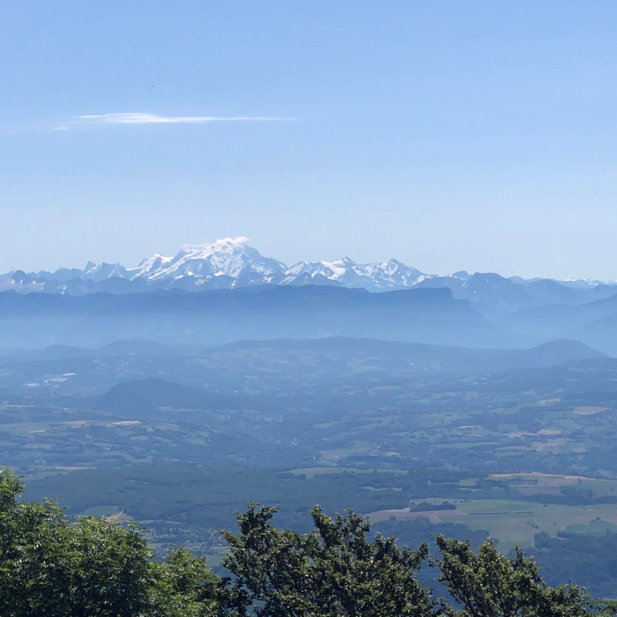
Many panoramas of the Alps can be seen along the route (Crêt du Nu, Tumet).
This route is not accessible during the winter period.
This itinerary is part of the "Ain Outdoor" selection.
Webové kamery z prohlídky
Získejte přehled
Vždy živě na místě s více než 9 500 webkamerami. bergfex Jako uživatel Pro si nyní můžete zobrazit odpovídající webové kamery pro mnoho prohlídek v aplikaci prohlídky z. Můžete si tak přímo prohlédnout aktuální podmínky.
Oblíbené prohlídky v okolí
-
3 day-hike in Jura: hiking trails through Plateau de Retord and Grand Colombier
heavyTuristika 50.9 km -
MTB track 14 red - Retord - les balcons du Mont Blanc - Espace FFC Ain Forestière
heavyMountainbike 29.3 km -
Hike: Tour de Retord
heavyTuristika 18.4 km -
Hike: on the steps of the WW2 French resistance.
heavyTuristika 17.8 km -
Hiking in Bugey: La Ronde des Plans
světloTuristika 10.1 km -
Multiday mountain biking loop : Mountainbiking on Grand Colombier and Retord Plateau - Espace FFC Ain Forestière
heavyMountainbike 92.8 km -
Running trail: Ronde des Plans
světloTrailrunning 10.1 km -
MTB Course 13 red - South of the Plateau de Retord - Espace FFC Ain Forestière
heavyMountainbike 22.4 km -
Nature trail "Sentier de la Boucle d'Oreille"
světloTuristika 4.64 km -
Hike through Pont des Tines and Grottes du Pic
světloTuristika 9.53 km
Pěší turistika a stopování


Nenechte si ujít nabídky a inspiraci pro vaši příští dovolenou
Vaše e-mailová adresa byl přidán do poštovního seznamu.





