






Hiking route: The ascent to the Esserts

Starting from the Blue Lake of Morillon, the route turns its back to the lake, crosses the road, and reaches the "CCAS" holiday center.
After crossing a small footbridge on the left overlooking a bézière, you walk along a large meadow bordered by a beautiful row of standing stones (made of Sixt marble). By a short ascent, you reach the church of Morillon.
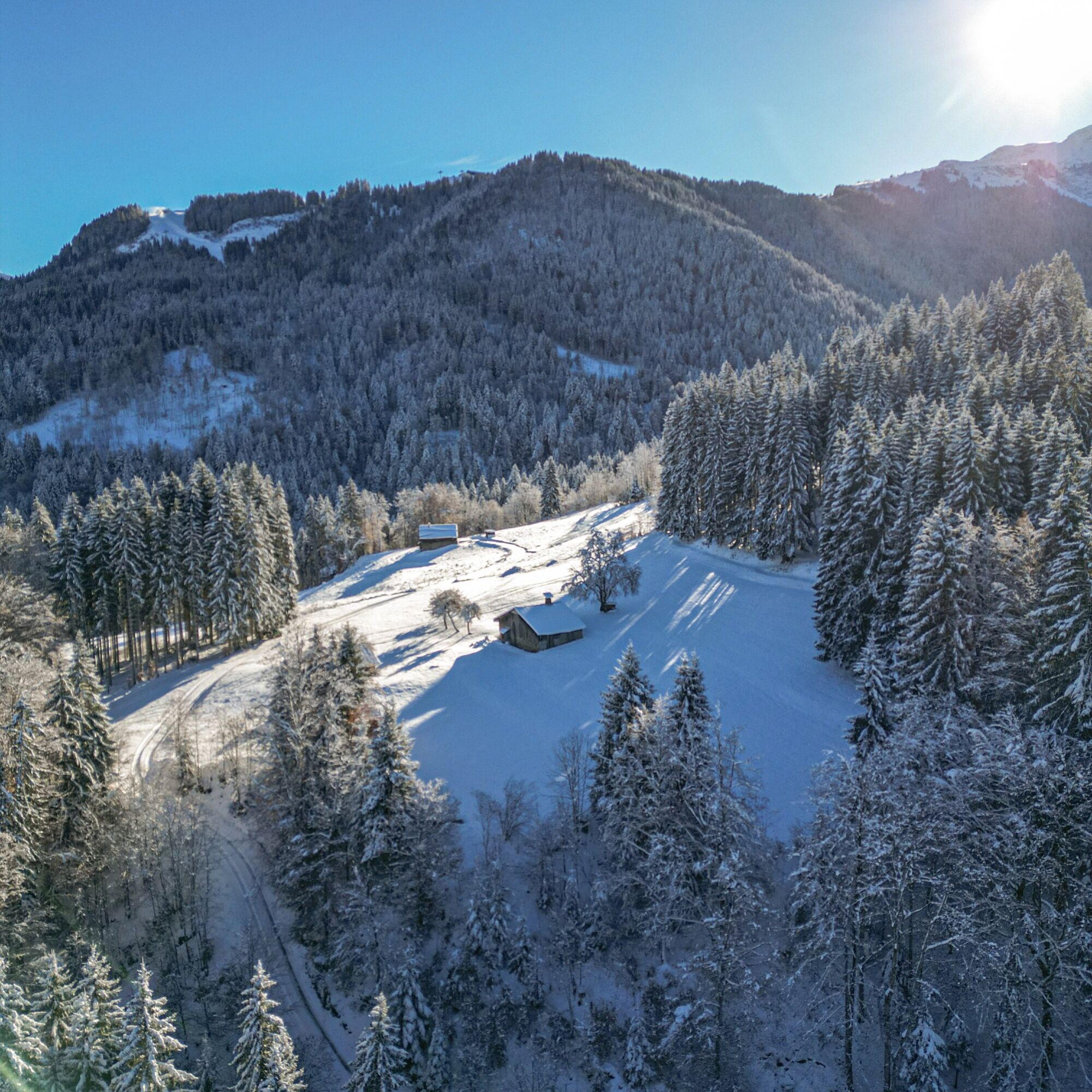
From the church, the road runs alongside the cemetery, then you take the path that starts at the pedestrian marker "le Bosson 702m." After a brief climb, the path crosses Morillon 1100 road and reaches the nicely restored chapel of "Châtelard." Above the chapel, the route turns right and uses the road for 100m to find a forest path leading to the hamlet of "Cuttes."
Again, you follow the road for about a hundred meters before finding a paved path leading to the place called "Les Ravines." From here, a wide path leads to the hamlet of "Chavallées."
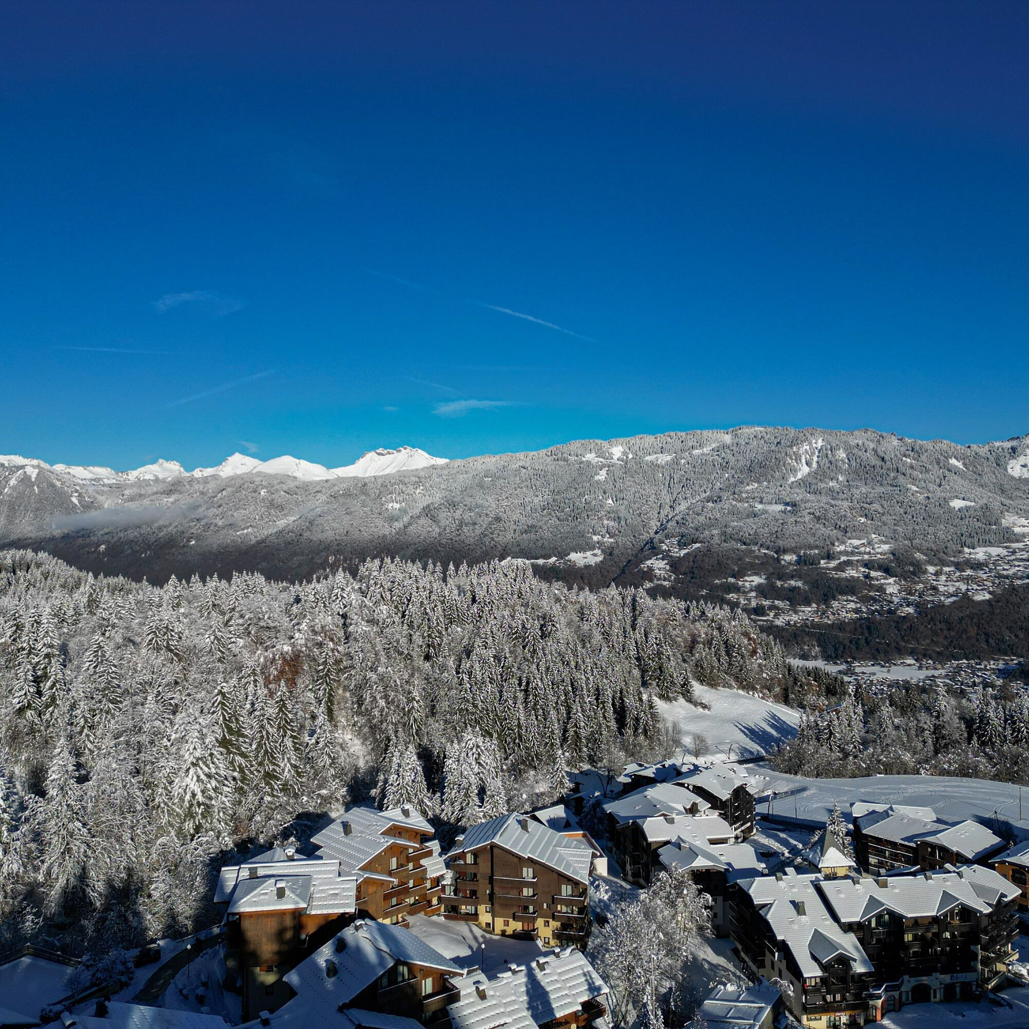
Finally, through a succession of small paths crossing the road several times, you reach the Esserts plateau at 1100m elevation, where the view opens up to the Grand Massif ski area and the resort village developed since 1958.
The return is made by the same route.
Throughout this climb, numerous viewpoints offer you sights of the sunny side and the main peaks of Haut-Giffre.
Ano
Webové kamery z prohlídky
Získejte přehled
Vždy živě na místě s více než 9 500 webkamerami. bergfex Jako uživatel Pro si nyní můžete zobrazit odpovídající webové kamery pro mnoho prohlídek v aplikaci prohlídky z. Můžete si tak přímo prohlédnout aktuální podmínky.
Oblíbené prohlídky v okolí
-
4.3
Goldtoni - Alpenbogen A059 Refuge de Chardonniere-Refuge Anterne
střednídálková pěší trasa 33.8 km -
4.0
Hiking trail: Refuge de Grenairon
heavyTuristika 12.6 km -
Hiking itinerary: Refuge and Lac d'Anterne
středníTuristika 19.8 km -
Walking itinerary: Refuge and Fonts mountain pasture
světloTuristika 7.66 km -
5.0
Mont Buet from Sixt (Passy)
Vysokohorská turistika 26.4 km -
Snowshoe itinerary: La Bourgeoise from the chalet at Joux Plane
světloSněžnice 4.49 km -
CONTEMPORARY ART of the Giffre // «ART and NATURE» trail
světloTematická stezka 7.49 km -
Aiguille du Criou
heavyTuristika 16.7 km -
Walking itinerary: Pointe d'Orchez
středníTuristika 4.52 km -
Rando'bus Morillon 1100 Les Esserts - Morillon village via Pointe de Cupoire
heavyTuristika 19.7 km
Pěší turistika a stopování


Nenechte si ujít nabídky a inspiraci pro vaši příští dovolenou
Vaše e-mailová adresa byl přidán do poštovního seznamu.





