







Ascent to "l'Ecot"
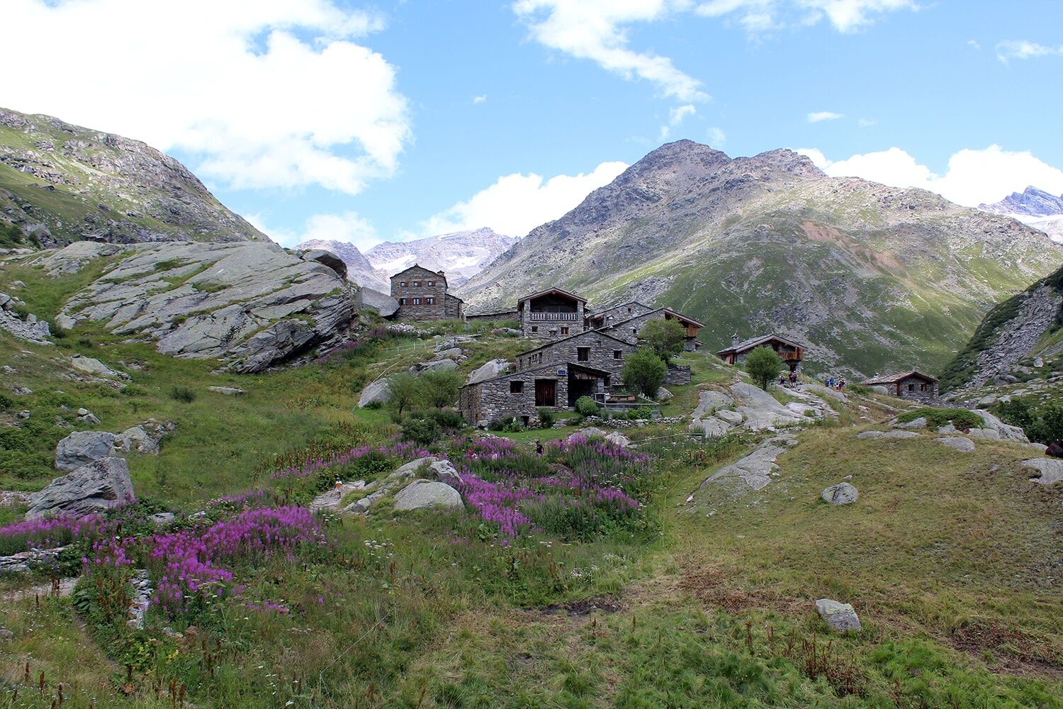
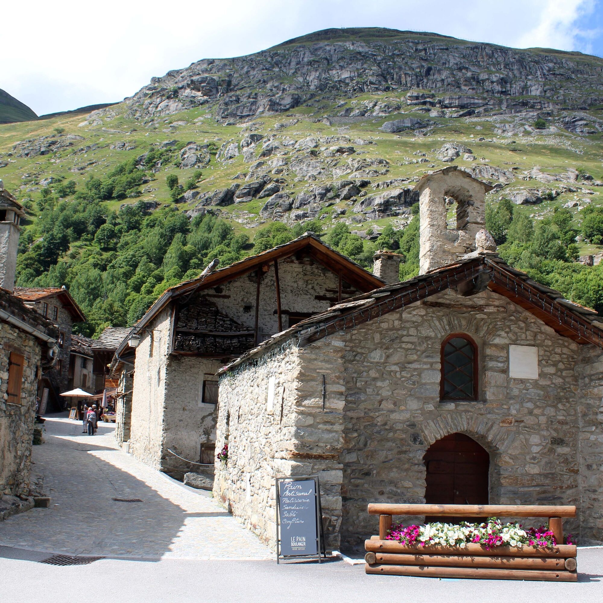
This route is easy and does not present major difficulties. You will be transported out of time in this hamlet made of old stone houses, beautifully renovated. From the Sainte Marguerite chapel, built...
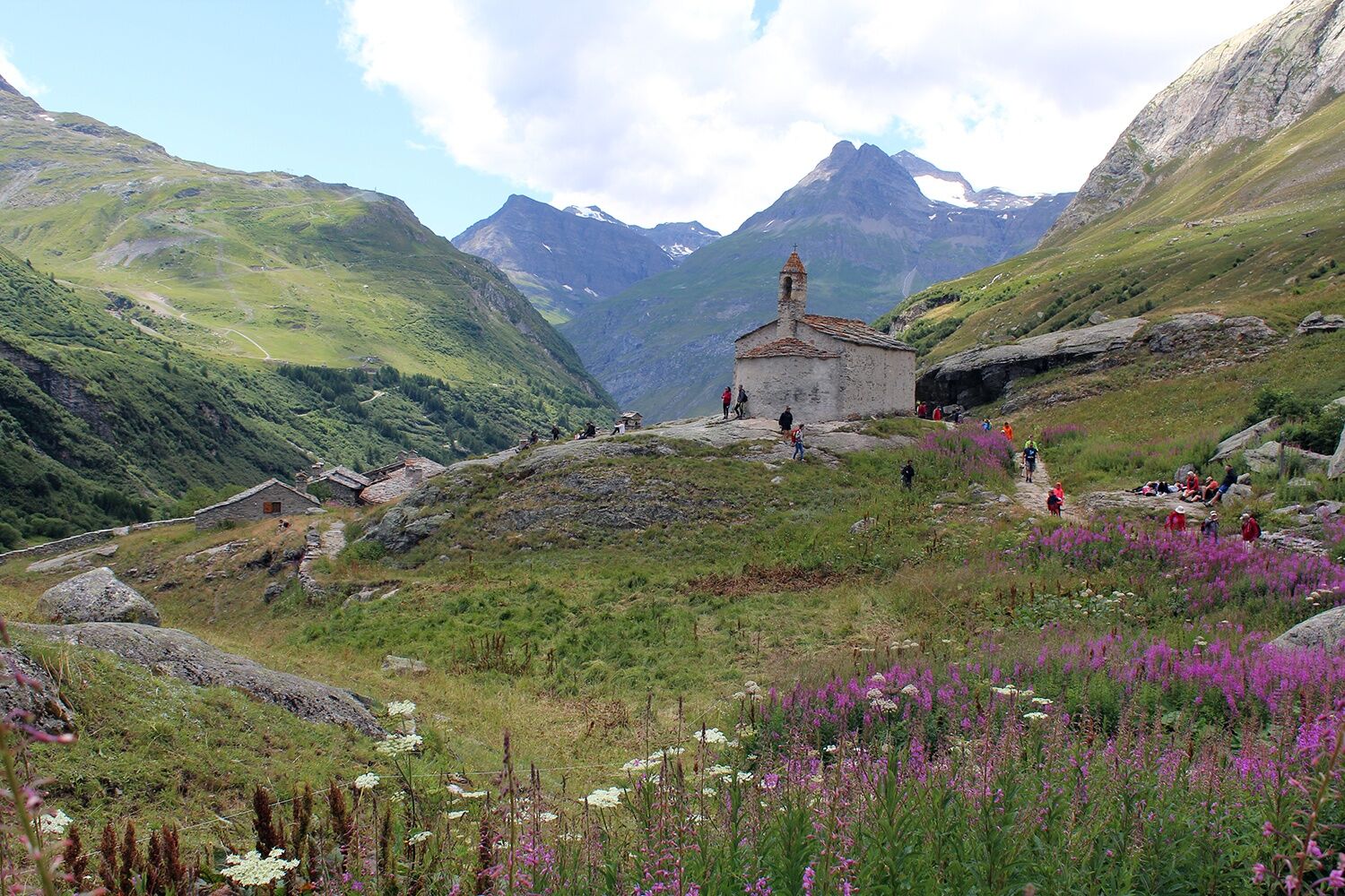
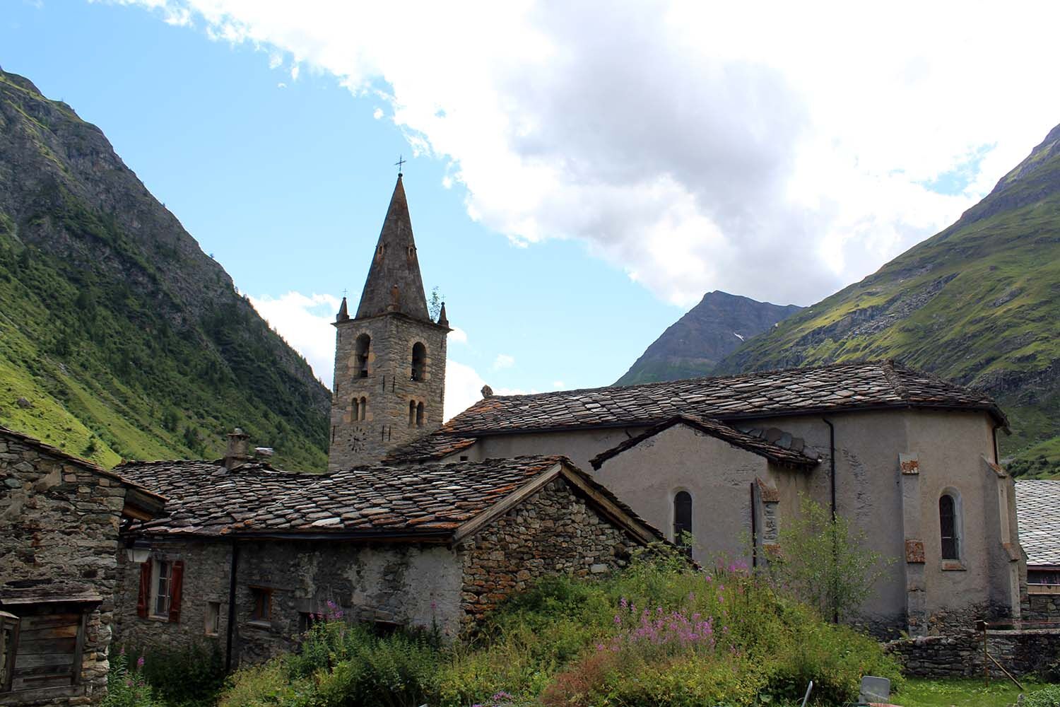
This route is easy and does not present major difficulties. You will be transported out of time in this hamlet made of old stone houses, beautifully renovated. From the Sainte Marguerite chapel, built in the 12th century, you can admire a magnificent panorama over the village and its alleys, but especially over the surrounding peaks: Signal de Méan Martin, la pointe des Buffettes, the western Levanna, the ridges of Mulinet, etc.


Ano
In case of emergency, call 112
An error on this sheet? Write to the owner recalling these references:
Sheet name: Montée de l'Ecot | Sheet ID: 5883459 | URL (link) of this Outdooractive page.
Oblíbené prohlídky v okolí
-
5.0
The Grand Méan lake via the Evettes circus
heavyTuristika 13.6 km -
5.0
Vie Storiche di Montagna | Colle del Nivolet
heavySilniční kolo 18.5 km -
5.0
BALME Arnas Ring - Pian della Mussa
heavyTuristika 13.6 km -
NIVOLET PASS Lakes Rosset, Leità and Chanavey
středníTuristika 4.45 km -
5.0
Alta Via delle Valli di Lanzo | Stage 4 Rifugio Citt di Ciri - Rifugio Cibrario
heavyTuristika 12.0 km -
Lake Dres - Ceresole Reale
středníTuristika 7.24 km -
USSEGLIO Lake behind the Tower and of the Rossa
heavyTuristika 17.1 km -
Hike from the Avérole refuge through the hamlet
středníTuristika 9.36 km -
Trek Nature | Stage F Savoia Refuge - Benevolo Refuge
středníTuristika 12.0 km -
PIALPETTA Val Grande Balcony Trail loop
středníTuristika 13.1 km
Pěší turistika a stopování


Nenechte si ujít nabídky a inspiraci pro vaši příští dovolenou
Vaše e-mailová adresa byl přidán do poštovního seznamu.





