






Monts du Lyonnais - The Crêts circuit - Loop 2.7

Úroveň obtížnosti: 5
Sporty side
Difficult route reserved for experienced cyclists.
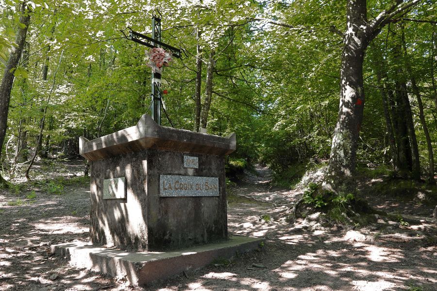
The ascent, from Vaugneray, of the passes of the Croix du Ban (passage at 17% gradient over 300 m…) and of the Luère cannot be improved.
We...
Difficult route reserved for experienced cyclists.
The ascent, from Vaugneray, of the passes of the Croix du Ban (passage at 17% gradient over 300 m…) and of the Luère cannot be improved.
We never tyre of doing these climbs in summer and very early in the morning (deserted roads and birdsong). Pleasure guaranteed. The rest of the route offers no difficulty, which allows you to recover from the climb of the passes and enjoy the landscapes.
Tourism side
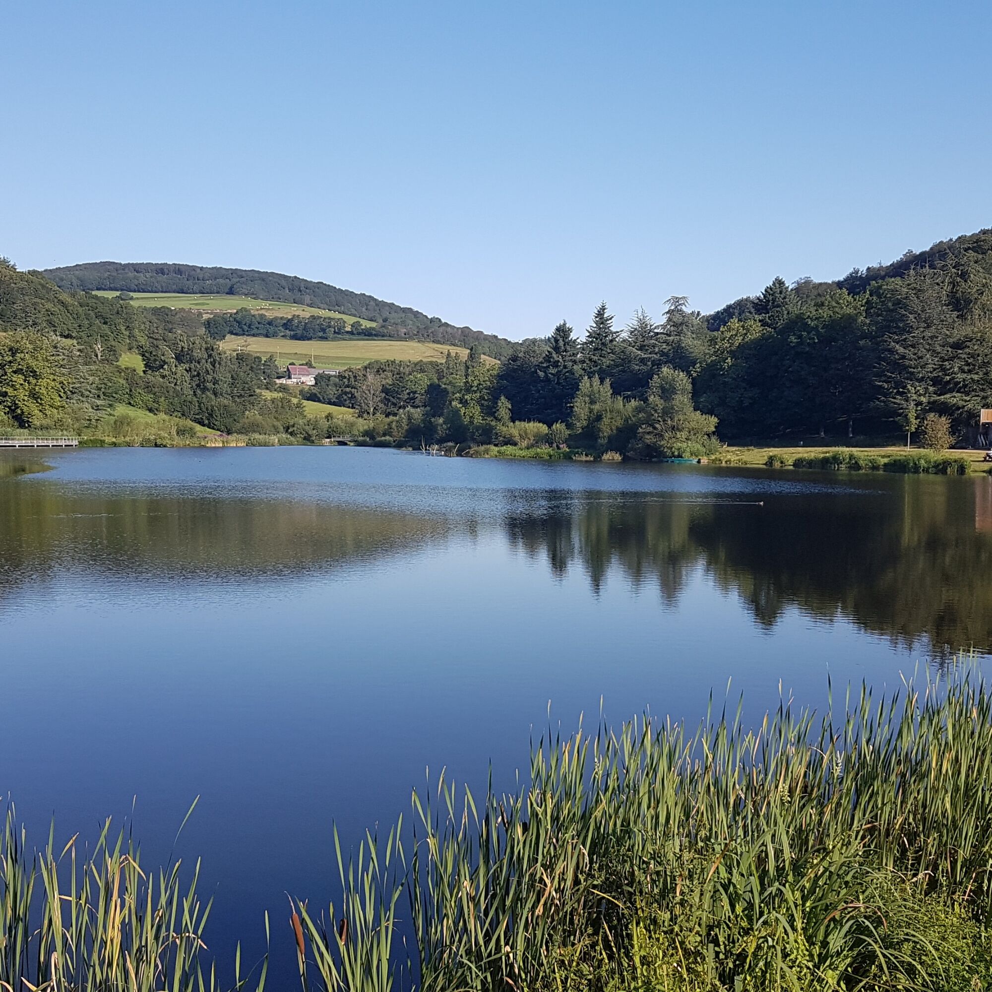
The route crosses typical landscapes of the Monts du Lyonnais: wooded massifs, ridge roads, panoramas facing the Alps…
Along the way, the village of Yzeron, perched 710 metres above sea level, serves as an ideal excuse to make a refreshing stop in the heart of a preserved landscape environment.


Ano
Good practices:
To safely enjoy your ride, here are our tips:
- Check the condition of your bike before departure (brakes, transmission, tightening of screws,...) and the battery for E-bikes
- Wear a helmet, and keep it on during the climb
- Have clothing adapted to the activity and weather
- Leave with water and something to eat
- Be equipped with a repair kit (tools, inner tube, pump...)
- Do not overestimate your abilities
- Study the route before leaving
- Inform someone close about the loop you are doing
- Have with you the phone number of a person to contact in case of accident
Croix du Ban via Pollionnay: This is a very "leg breaker" route where you always have to keep some energy in the pedal. After Vaugneray, you will be on a small winding road that will take you to Pollionnay. Here, the real climb will begin, with gradients averaging between 5 and 7%. In summer temperatures, you will be in the shade in the woods for the last kilometers of climbing. This will allow you to really enjoy climbing this pass.
Luère Pass via Chevinay: You have just crossed Croix du Ban, just enough time to catch your breath before concentrating again to climb the Luère pass. From Chevinay to the summit, you will have 5 km at an average of 6%. At the exit of the village of Chevinay, you will find the first ramp that will allow you to access the D24. This intersection will mark the start of a climb very appreciated by local cyclists. This winding and wooded road will offer you some surprises with irregular slopes. I particularly liked it for interval training. You are constantly accelerating to keep the rhythm. You will discover the summit after a big right curve. Cyclists familiar with the climb will be advantaged.
Malval Pass via Luère Pass: The hardest part is over. Just after the summit of Luère pass, you will turn right to head towards the pass. After a short uphill section, you will reach a plateau that will take you to the Malval pass. Just enough to enjoy an incredible view to the right over Beaujolais Vert, then a little further to the left over the city of Lyon. I advise you to take the time to put your foot down to enjoy this place.
La Croix Perrière via Yzeron: Only gentle uphill and downhill stretches to reach La Croix Perrière. Enjoy this calm time to eat and recover the efforts made on the previous climbs.
35 min from Lyon via the D311.
Parking near the starting point
5
An error on this file? Write to the owner quoting this reference:
File name: Monts du Lyonnais - Le circuit des crêts - Loop 2.7 | File identifier: 5016692 | URL (link) of this Outdooractive page.

Oblíbené prohlídky v okolí
- 5.0
Walk to the Garon siphon bridge of the Roman Aqueduct of Gier
světloTuristika 6.08 km - 5.0
The Gimond dam - Monts du Lyonnais - Grézieu-le-Marché
světloTuristika 11.2 km Roman Gier Aqueduct path
heavyTuristika 44.4 kmThe Signal - Monts du Lyonnais - Saint-André-la Côte
světloTuristika 14.5 kmThe Tacot, ephemeral journey
světloTematická stezka 1.91 kmLet's walk in the woods - Monts du Lyonnais - Pollionnay
světloTuristika 12.6 kmWalking towards the Aqueduct of Gier - Monts du Lyonnais - Chaponost
světloTuristika 8.25 kmHealth-sport hike: the Croix Forest bridge
světloTuristika 9.78 kmRegina, Duroni, Sweetheart - Monts du Lyonnais - Bessenay
světloTuristika 13.6 kmSentier découverte de l'aqueduc romain de la Brévenne
světloTuristika 5.42 km
Pěší turistika a stopování


Nenechte si ujít nabídky a inspiraci pro vaši příští dovolenou
Vaše e-mailová adresa byl přidán do poštovního seznamu.





