
Circuit VTT n°104 rouge : Le Crêt d'Arjoux
heavy
Pořiďte si tuto prohlídku do mobilního telefonu
Circuit VTT n°104 rouge : Le Crêt d'Arjoux
heavy
Mountainbike
14.80
km
Naskenujte QR kód a spusťte navigaci v aplikaci bergfex.


Pěší turistika a stopování




Circuit VTT n°104 rouge : Le Crêt d'Arjoux
heavy
Vzdálenost
14.8
km
Doba trvání
01:38
h
Ascent
330
hm
Hladina moře
562 -
798
m

Navigujte po trase v aplikaci
Nainstalujte si aplikaci zdarma a mějte trasu vždy na očích díky GPS navigaci a sledování polohy.
Využijte nyní službu „ bergfex “ v aplikaci
Naskenuj QR kód pomocí fotoaparátu
Jakmile je aplikace nainstalována, obsah se otevře přímo. Pokud aplikaci ještě nemáš, budeš přesměrován na stránku, kde si ji můžeš zdarma stáhnout.
Stažení skladby
Circuit VTT n°104 rouge : Le Crêt d'Arjoux
heavy
Mountainbike
14.80
km
In Montrottier, we recommend you walk the "village circuit", which will take you on foot throughout the village and to the Romanesque chapel Saint-Martin-les Périls. Numerous information panels will guide...
Popis
In Montrottier, we recommend you walk the "village circuit", which will take you on foot throughout the village and to the Romanesque chapel Saint-Martin-les Périls. Numerous information panels will guide you from the Dîme square.
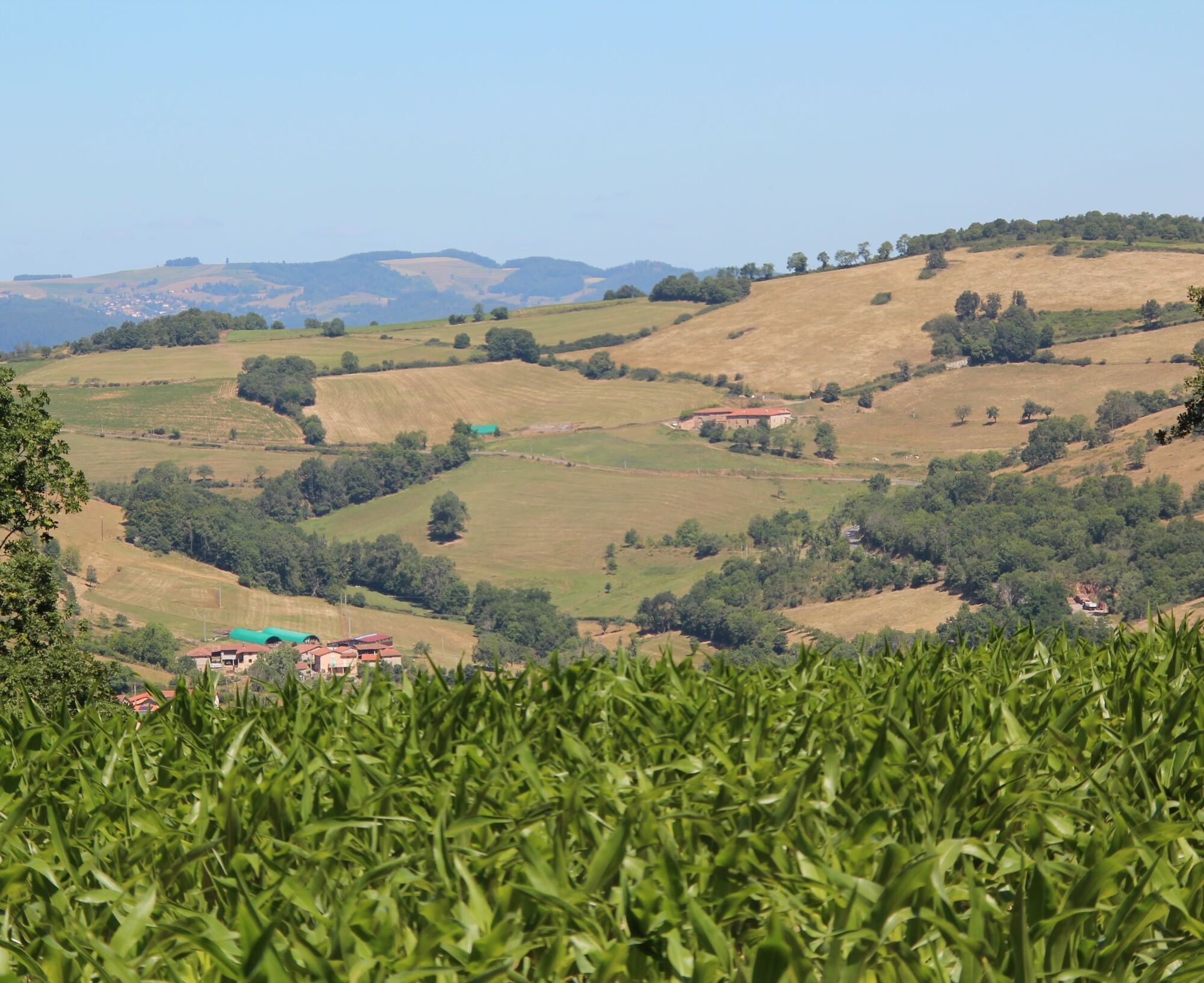
You will also likely encounter, along the mountain bike loops surrounding Montrottier, orientation tables and stands that will help you better understand the landscapes of the Monts du Lyonnais.
You will also likely encounter, along the mountain bike loops surrounding Montrottier, orientation tables and stands that will help you better understand the landscapes of the Monts du Lyonnais.
Trasa
Montrottier
(674 m)
Vesnice
0.1 km
La Curtilla
(593 m)
Vypořádání
2.6 km
Le Coquis
(669 m)
Vypořádání
4.1 km
Jailly
(690 m)
Vypořádání
7.1 km
Le Renevier
(625 m)
Vypořádání
12.9 km
Saint-Martin
(645 m)
Vypořádání
14.1 km
Montrottier
(674 m)
Vesnice
14.6 km
Trasa
Circuit VTT n°104 rouge : Le Crêt d'Arjoux
heavy
Mountainbike
14.80
km
Montrottier
(674 m)
Vesnice
0.1 km
Chambadière
(568 m)
Vypořádání
1.2 km
La Curtilla
(593 m)
Vypořádání
2.6 km
La Grand'Cour
(643 m)
Vypořádání
3.7 km
Le Coquis
(669 m)
Vypořádání
4.1 km
La Brigadière
(730 m)
Vypořádání
5.3 km
Jailly
(690 m)
Vypořádání
7.1 km
Montaly
(720 m)
Vypořádání
12.3 km
Le Renevier
(625 m)
Vypořádání
12.9 km
La Croix Matillon
(697 m)
Sousedství
13.5 km
Saint-Martin
(645 m)
Vypořádání
14.1 km
Montrottier
(674 m)
Vesnice
14.6 km
Autor
Poskytuje Monts du Lyonnais
Prohlídku Circuit VTT n°104 rouge : Le Crêt d'Arjoux zajišťuje outdooractive.com.


Další informace a tipy
Další informace
Adapt your equipment and choice of route according to your level and the weather. Do not leave the paths.
Zatím žádné recenze
Oblíbené prohlídky v okolí
-
The forest of Flachère - Beaujolais - Légny
světloTuristika 6.68 km -
Let's walk in the woods - Monts du Lyonnais - Pollionnay
světloTuristika 12.6 km -
Regina, Duroni, Sweetheart - Monts du Lyonnais - Bessenay
světloTuristika 13.6 km -
Sentier découverte de l'aqueduc romain de la Brévenne
světloTuristika 5.42 km -
Route around the Tourette
světloTuristika 10.6 km -
Circuit de découverte du patrimoine
světloTuristika 2.19 km -
Malá prohlídka pohoří Crêt d'Arjoux - Monts du Lyonnais - Saint-Julien-sur-Bibost
světloTuristika 4.93 km -
The Panoramique
světloTuristika 7.56 km -
Z Velairu do Saint-Bonnet-le-Froid - Monts du Lyonnais - Courzieu
heavyTuristika 14.7 km -
Courz'y Trail Park - Circuit No. 1: La Découverte
světloTrailrunning 7.27 km
Pěší turistika a stopování

Více než 550.000 návrhů výletů, podrobné mapy a intuitivní plánovač tras dělají z aplikace nezbytnou výbavu pro všechny milovníky přírody.

Nenechte si ujít nabídky a inspiraci pro vaši příští dovolenou
Přihlaste se k odběru newsletteru
Chyba
Došlo k chybě. Zkuste to prosím znovu.
Děkujeme za vaši registraci
Vaše e-mailová adresa byl přidán do poštovního seznamu.
Zájezdy po celé Evropě
Rakousko
Švýcarsko
Německo
Itálie
Slovenia
Francie
Nizozemsko
Belgie
Polsko
Lichtenštejnsko
Česko
Slovensko
Španělsko
Chorvatsko
Bosna a Hercegovina
Lucembursko
Andorra
Portugal
Iceland
United Kingdom
Ireland
Greece
Albania
North Macedonia
Malta
Norway
Montenegro
Moldova
Kosovo
Hungary
San Marino
Romania
Estonia
Latvia
Belarus
Cyprus
Lithuania
Serbia
Bulgaria
Monaco
Denmark
Sweden
Finland





