







Mountain bike route 160 - The Slopes of Chabanière
No carrying, short pushing depending on physical condition. The start of the route is common to routes 150 and 155 up to Grandes Terres and Saint-Sorlin. Then, paths and tracks to Arfeuille, then a short...
No carrying, short pushing depending on physical condition. The start of the route is common to routes 150 and 155 up to Grandes Terres and Saint-Sorlin. Then, paths and tracks to Arfeuille, then a short climb in Bois d’Inde before descending to Vendessieux and Verzieux for a bucolic return via Saint-Didier-sous-Riverie and Saint-Maurice-sur-Dargoire. Return by tracks and roads through the bocage of Mornantais, then crossing the town center of Mornant (painted markers). Beautiful route with views of the Alps chain when weather permits.

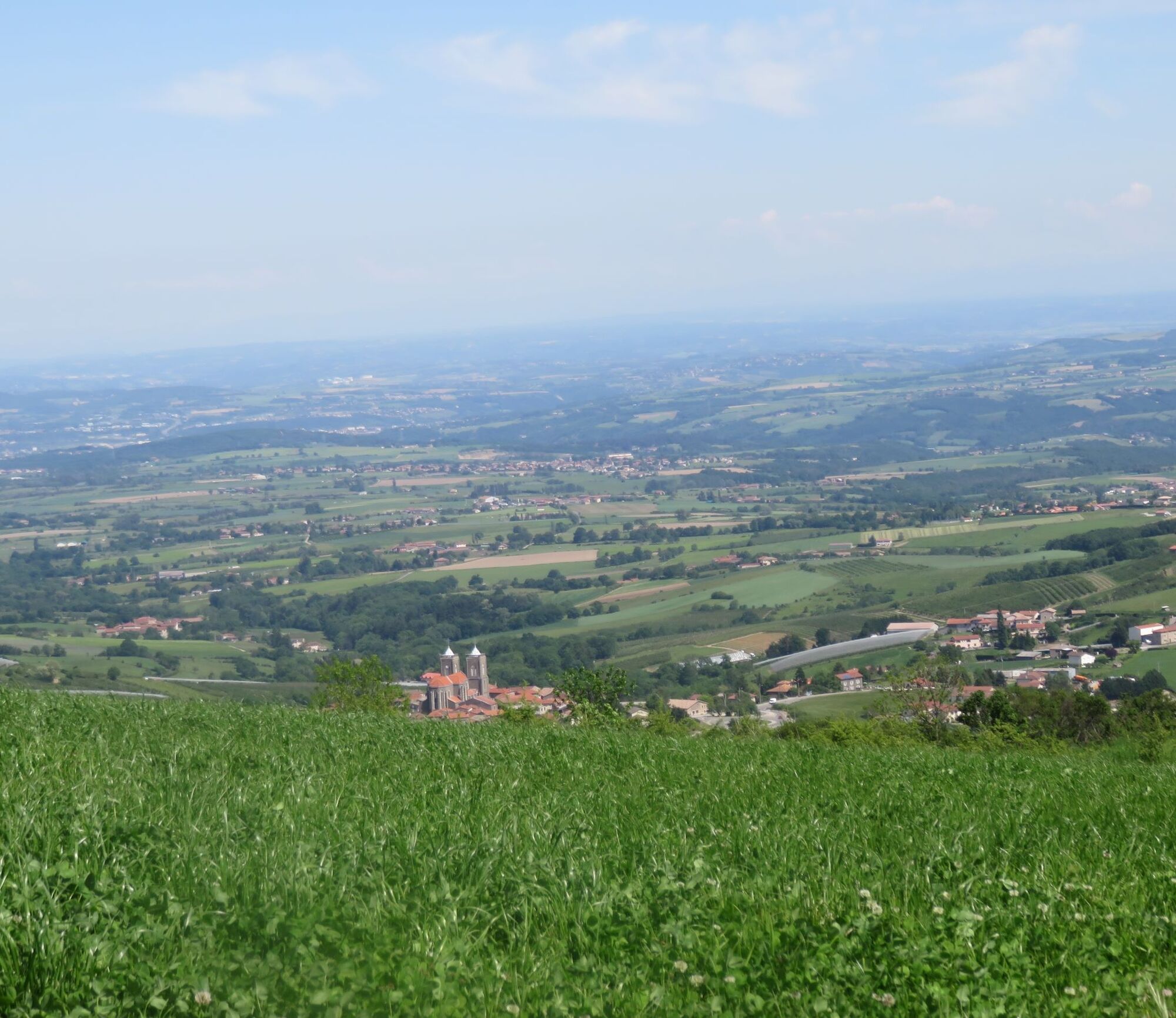

Adapt your equipment and route choice according to your level and the weather. Do not leave the trails.
Oblíbené prohlídky v okolí
-
5.0
Walk to the Garon siphon bridge of the Roman Aqueduct of Gier
světloTuristika 6.08 km -
5.0
The Gimond dam - Monts du Lyonnais - Grézieu-le-Marché
světloTuristika 11.2 km -
Coise Riverbank Trail
světloTuristika 14.6 km -
Trail of the landscapes of the Monts du Lyonnais
středníTuristika 12.0 km -
The Signal - Monts du Lyonnais - Saint-André-la Côte
světloTuristika 14.5 km -
Roman Gier Aqueduct path
heavyTuristika 44.4 km -
The Tacot, ephemeral journey
světloTematická stezka 1.91 km -
Health-sport hike: the Croix Forest bridge
světloTuristika 9.78 km -
Sentier découverte de l'aqueduc romain de la Brévenne
světloTuristika 5.42 km -
MTB Route 231 - Les Landes de Montagny
heavyMountainbike 19.9 km
Pěší turistika a stopování


Nenechte si ujít nabídky a inspiraci pro vaši příští dovolenou
Vaše e-mailová adresa byl přidán do poštovního seznamu.





