
Mountain biking route - Fer-à-Cheval > Morillon
světlo
Pořiďte si tuto prohlídku do mobilního telefonu
Mountain biking route - Fer-à-Cheval > Morillon
světlo
Mountainbike
16.72
km
Naskenujte QR kód a spusťte navigaci v aplikaci bergfex.


Pěší turistika a stopování





Mountain biking route - Fer-à-Cheval > Morillon
světlo
Vzdálenost
16.7
km
Doba trvání
01:56
h
Ascent
295
hm
Hladina moře
661 -
951
m
Stažení skladby
Mountain biking route - Fer-à-Cheval > Morillon
světlo
Mountainbike
16.72
km
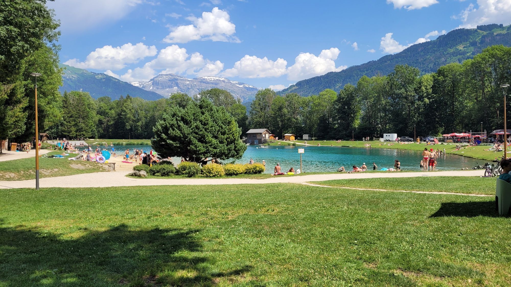
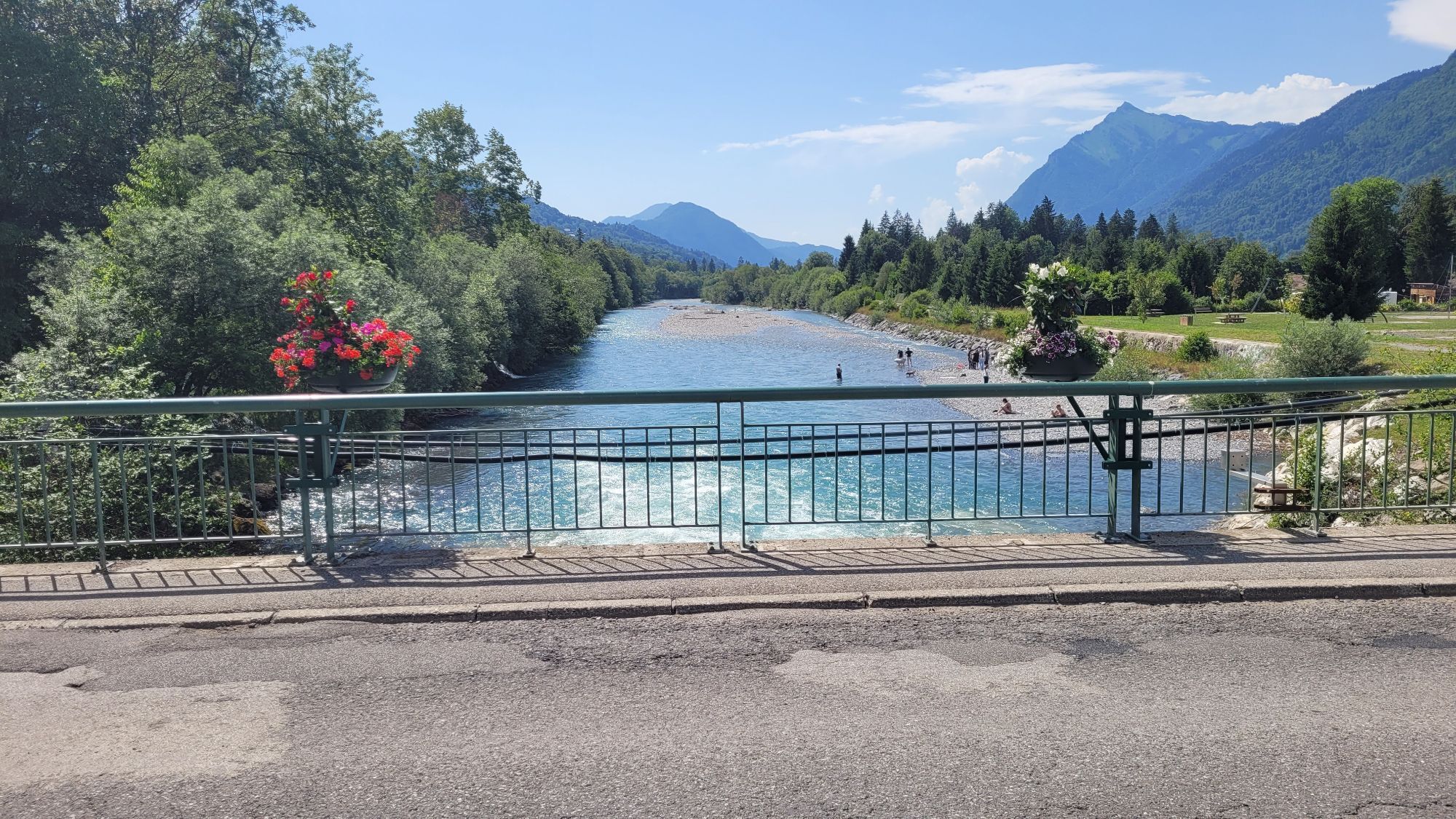
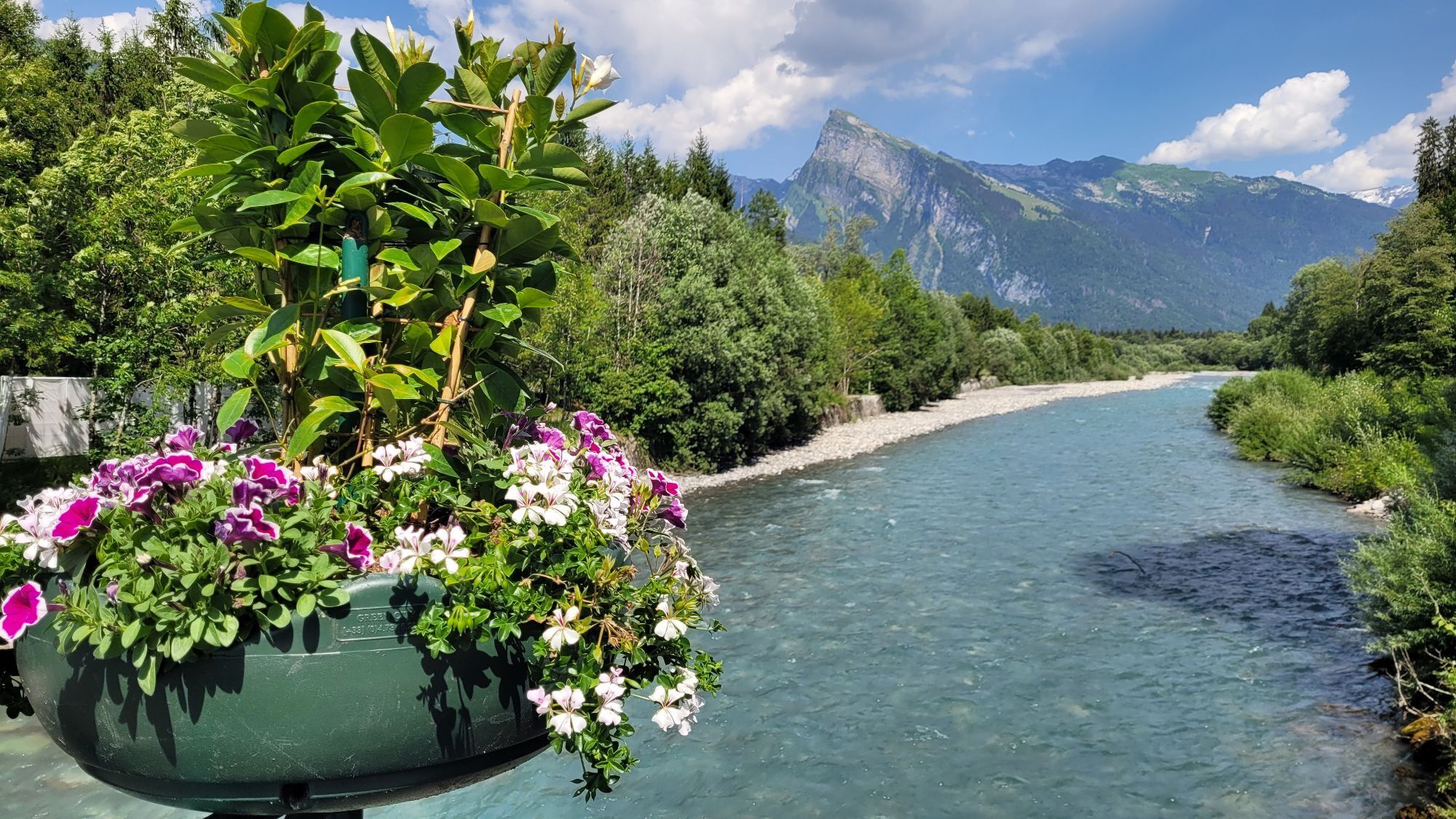
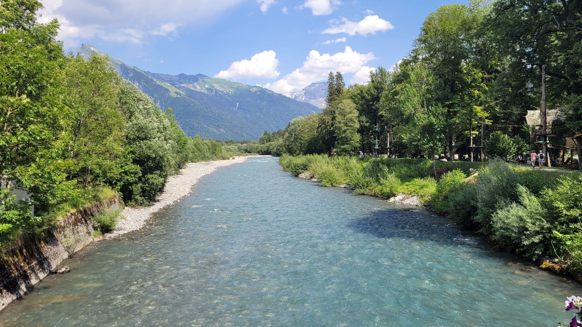
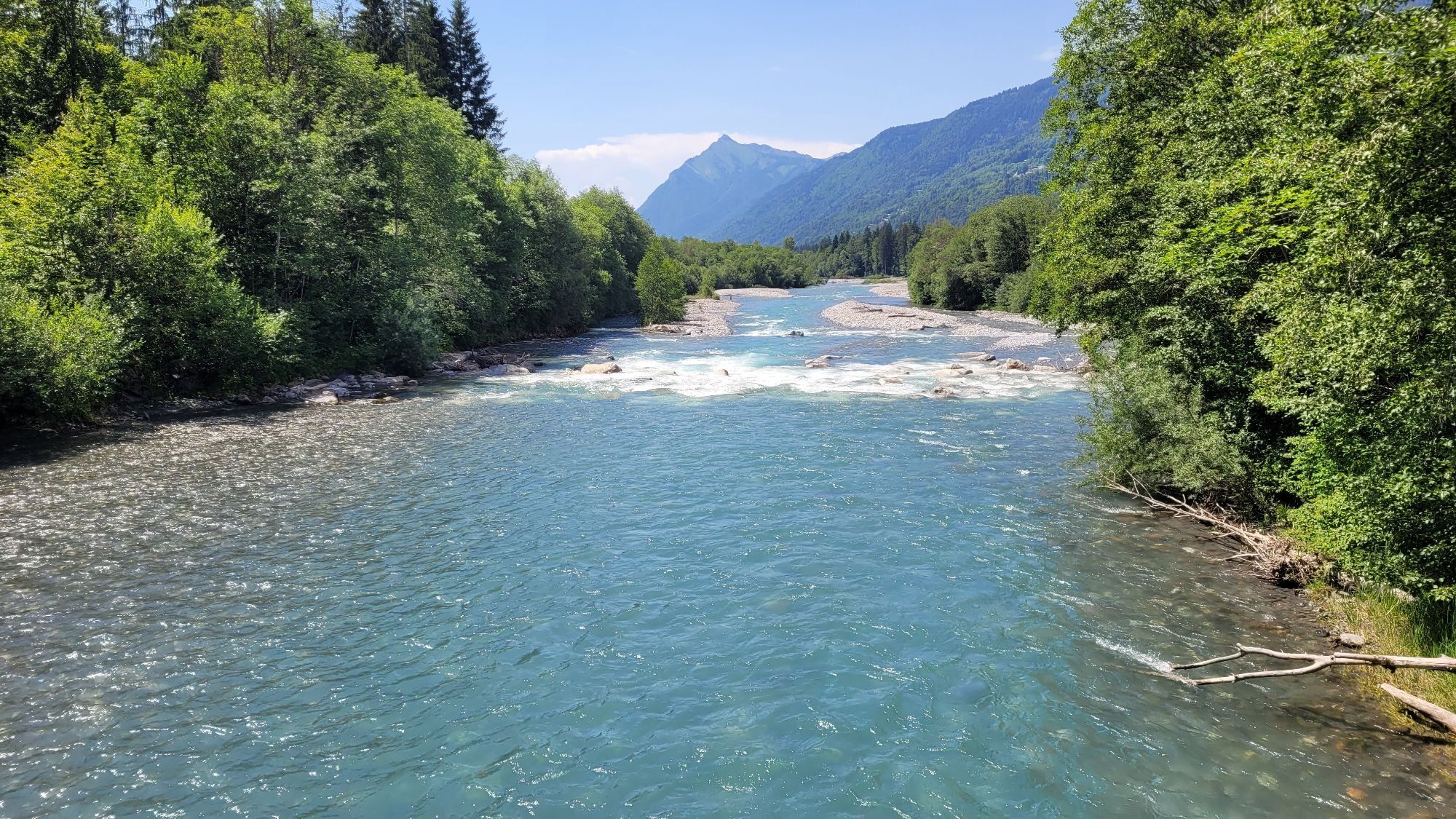
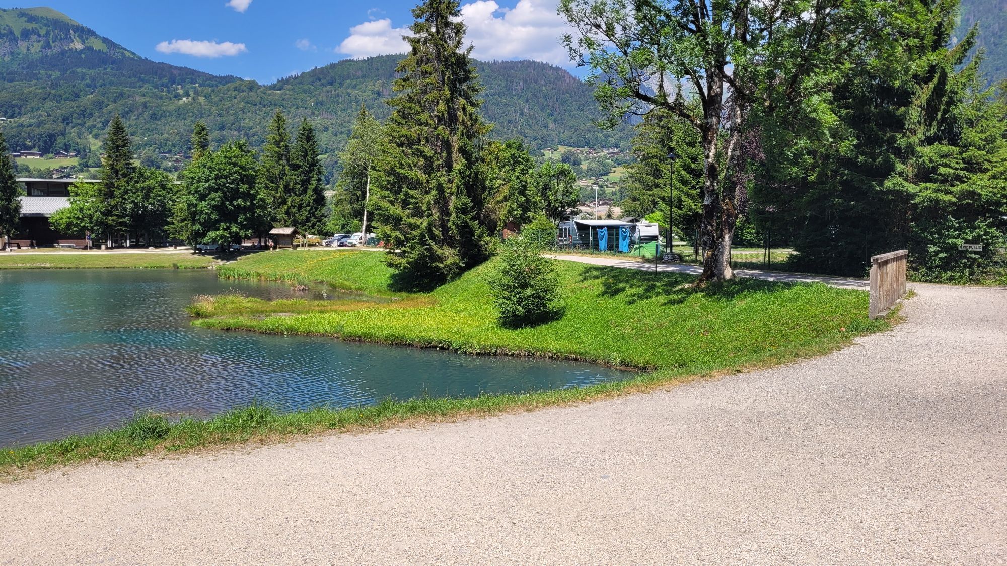
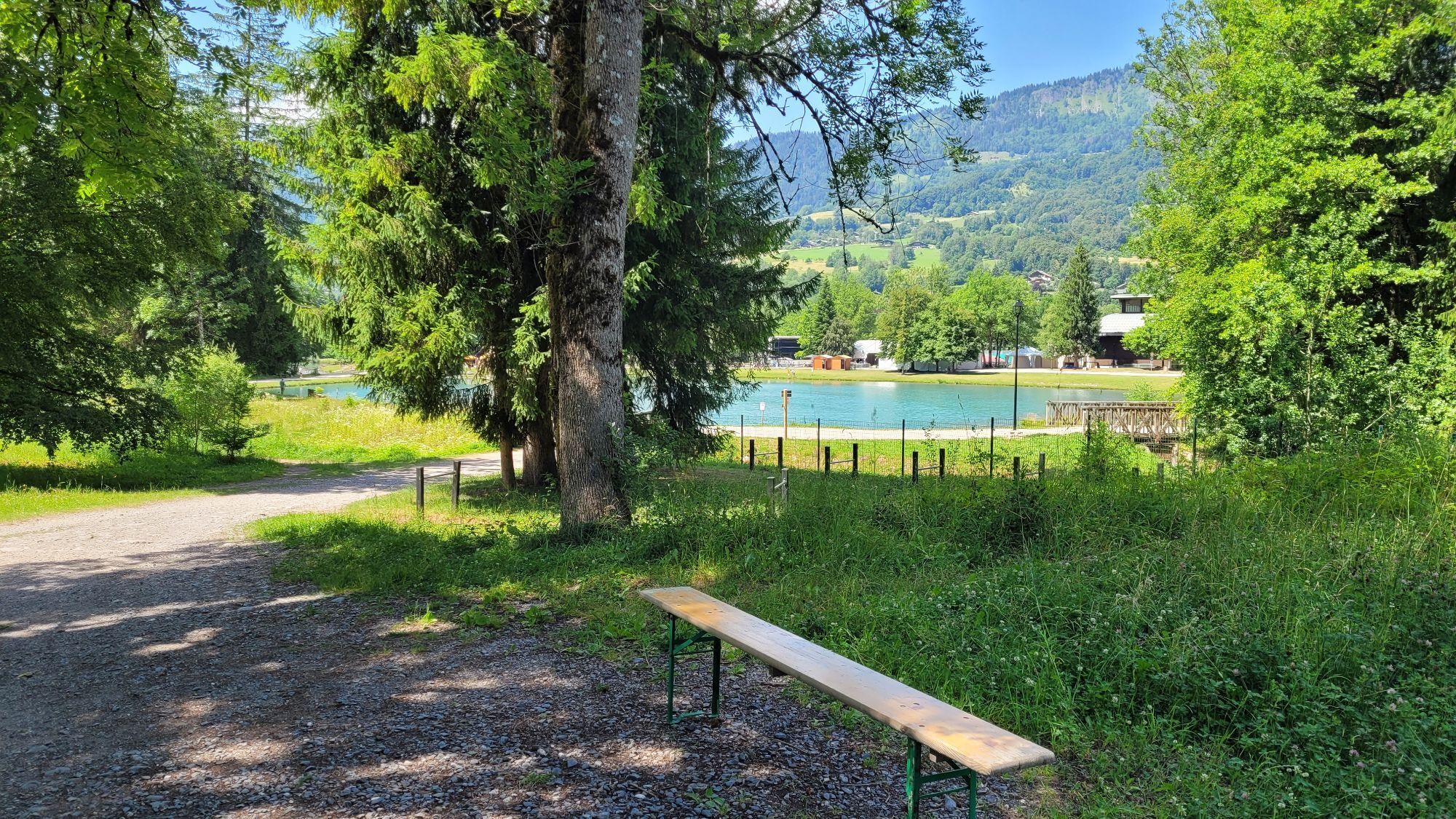
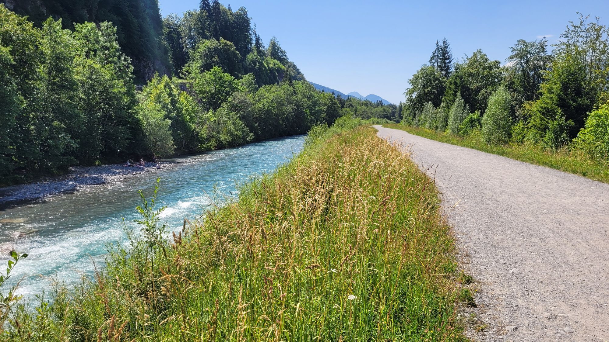
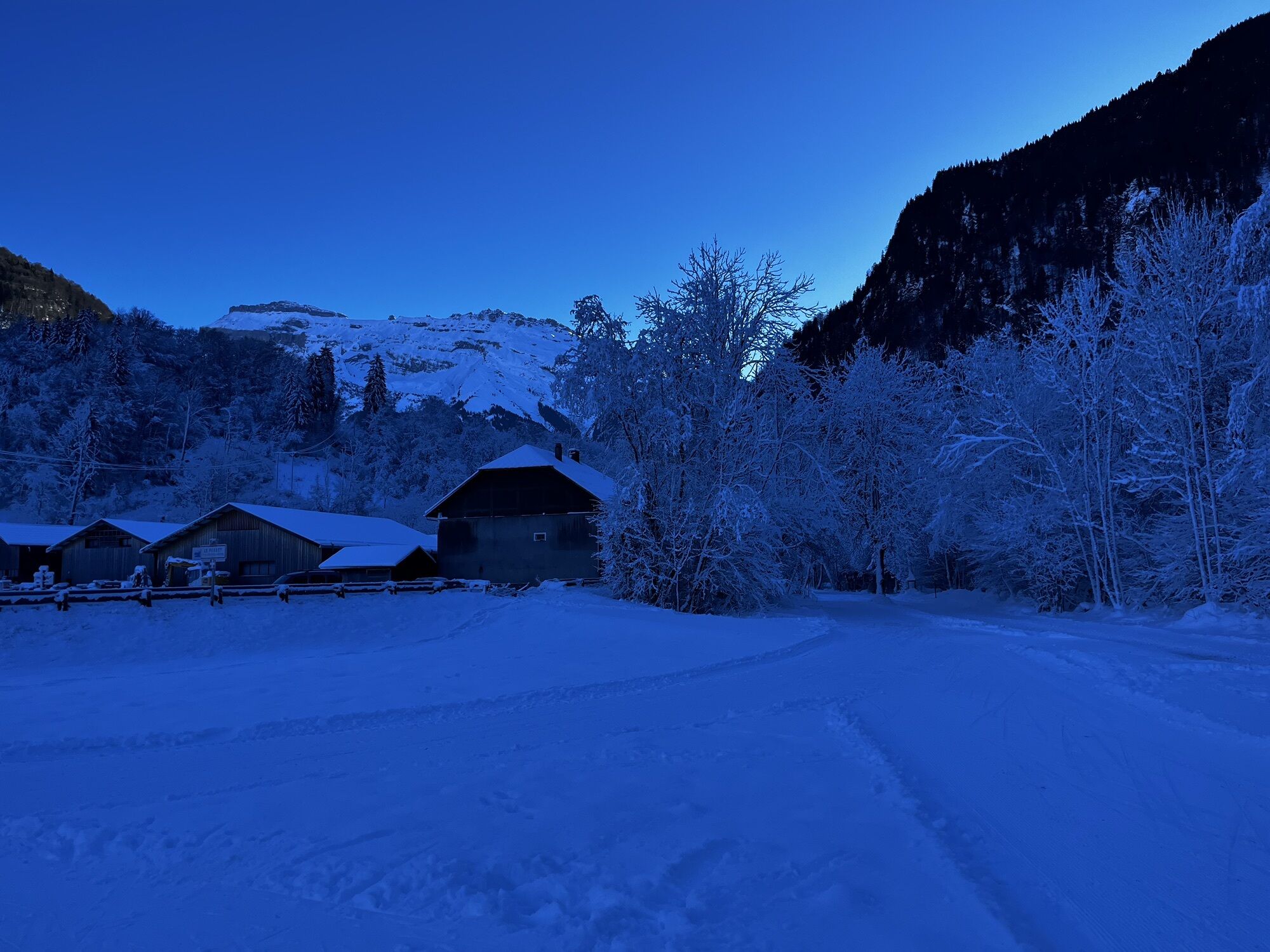
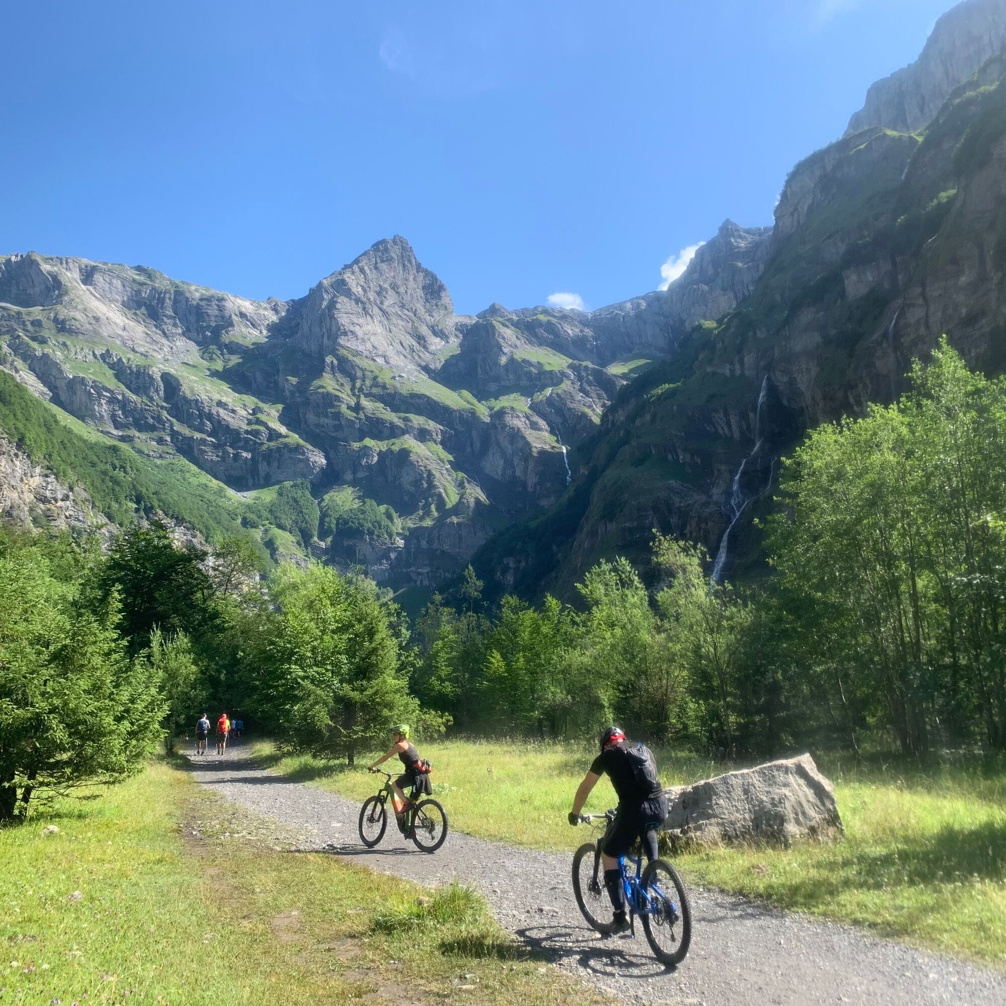
From the Fer à Cheval cirque, the route crosses the "nant des Joathons" bridge located at the entrance of the cirque. The wide path soon crosses the "nant des Pères" before going alongside the Pelly campsite....
Popis
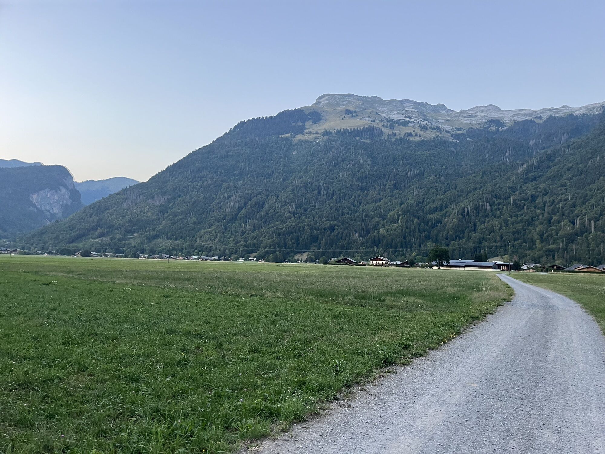
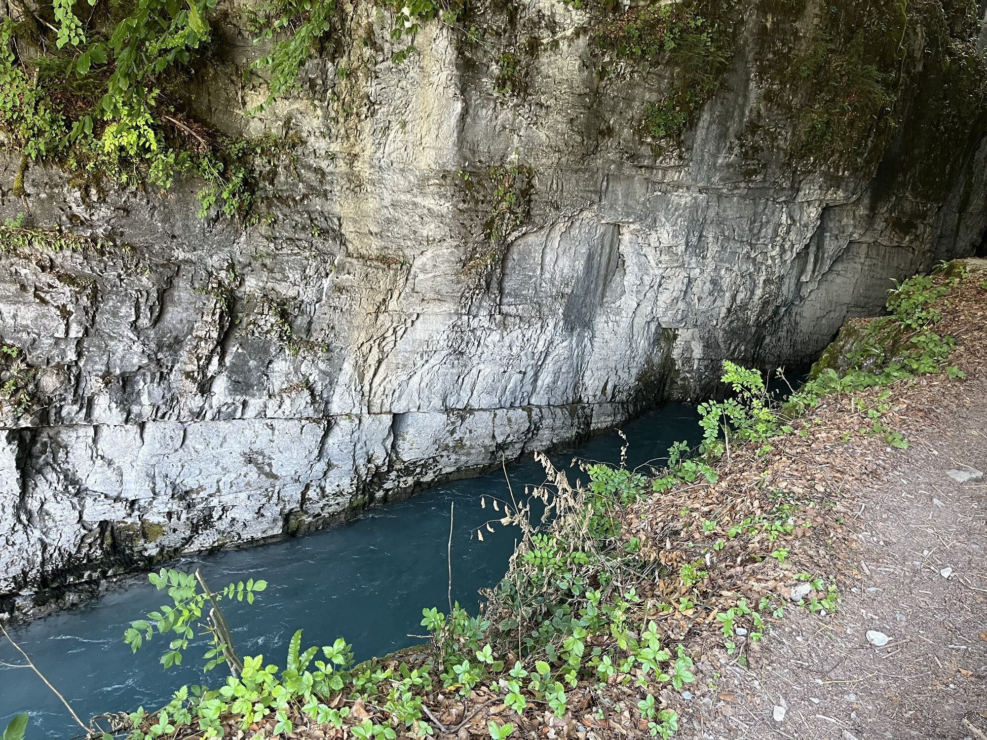
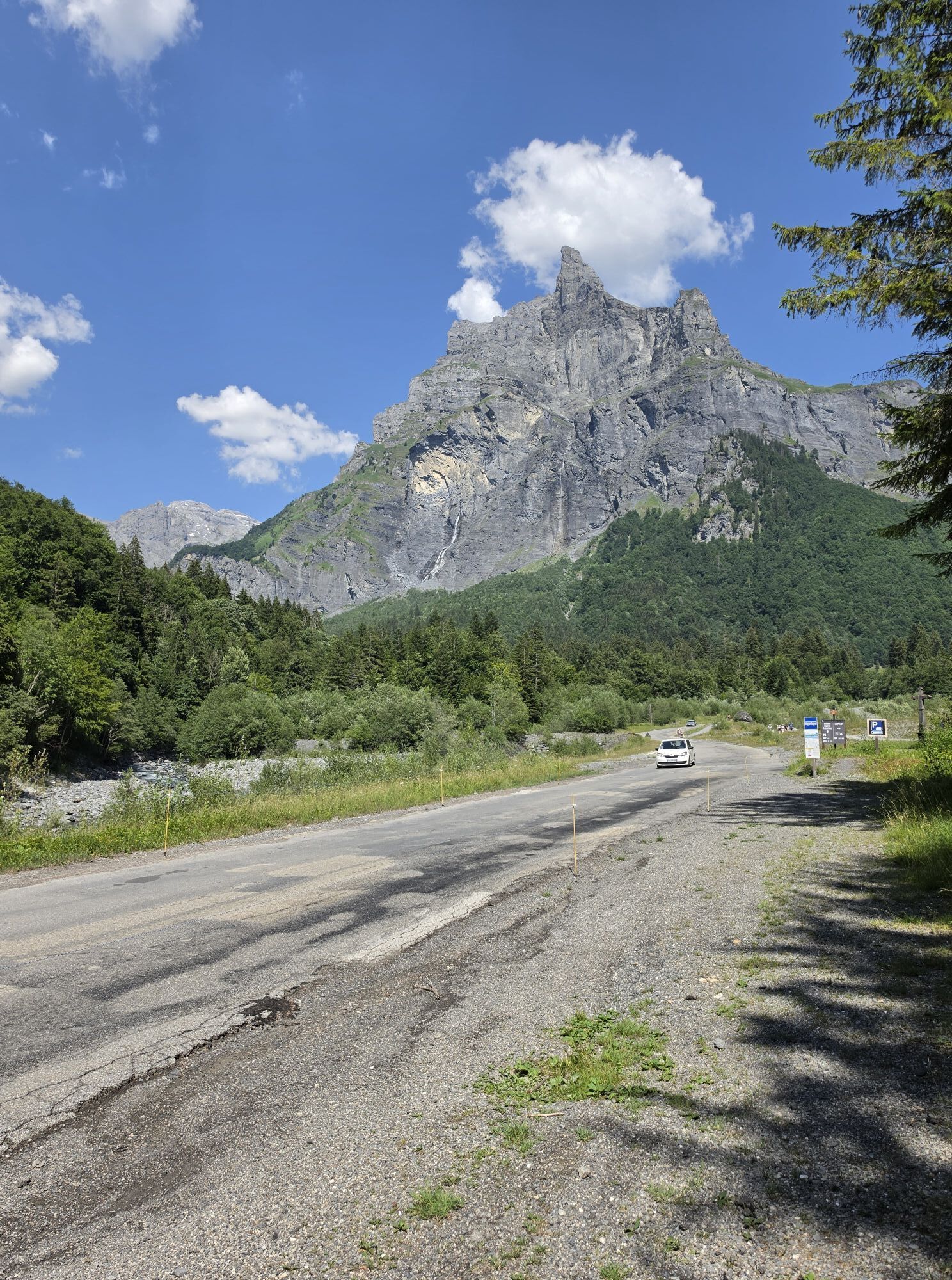
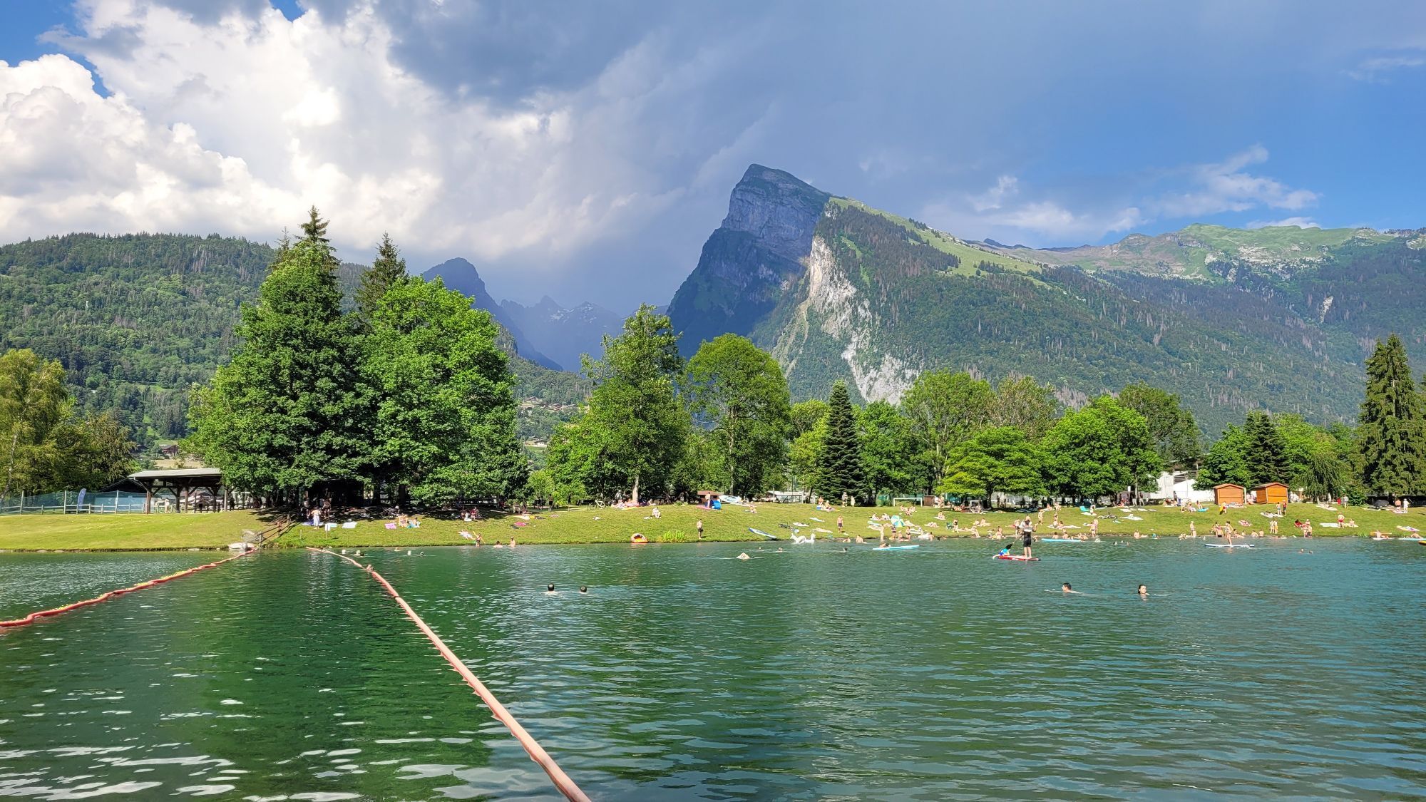
From the Fer à Cheval cirque, the route crosses the "nant des Joathons" bridge located at the entrance of the cirque. The wide path soon crosses the "nant des Pères" before going alongside the Pelly campsite. The route then leads you to a forest and follows the banks of the Giffre before crossing a vast clearing facing the hamlets of Molliet and Nambride. Shortly after the "nant du Dard" (a mountain stream the waters of which are channelled by large embankments built of boulders), the path, on the edge of the forest, goes above the hamlet of "Brairet" (km 4.68). Be careful not to leave the path or drive through the meadows.
This section, on a narrow path, presents a few minor technical difficulties. You soon find a good path leading to the "Saugy" bridge (km 5.40). Cross this bridge and then follow the road for 400 metres before turning left to cross the Giffre once again at the "Curtets" bridge. On a good path and then on a small road, reach the centre of the village of Sixt Fer à Ch, which crosses the Giffre at a single span of 40 metres. At the end of the bridge, turn right through the woods of "L'Etelley" and then along the banks of the Giffre to reach the Lac Bleu lake in Morillon.
This section, on a narrow path, presents a few minor technical difficulties. You soon find a good path leading to the "Saugy" bridge (km 5.40). Cross this bridge and then follow the road for 400 metres before turning left to cross the Giffre once again at the "Curtets" bridge. On a good path and then on a small road, reach the centre of the village of Sixt Fer à Ch, which crosses the Giffre at a single span of 40 metres. At the end of the bridge, turn right through the woods of "L'Etelley" and then along the banks of the Giffre to reach the Lac Bleu lake in Morillon.
Trasa
Morillon
(673 m)
Vesnice
0.0 km
Le Perret
(730 m)
Vypořádání
6.8 km
La Chaletaz
(785 m)
Vypořádání
9.6 km
Les Curtets
(788 m)
Vypořádání
11.1 km
Le Brairet
(824 m)
Vypořádání
12.4 km
Le Molliet
(834 m)
Vypořádání
13.4 km
Les Pellys
(909 m)
Vypořádání
15.2 km
Trasa
Mountain biking route - Fer-à-Cheval > Morillon
světlo
Mountainbike
16.72
km
Morillon
(673 m)
Vesnice
0.0 km
Le Bois aux Dames
(689 m)
Koridor/terén
3.0 km
Les Beules
(703 m)
Vypořádání
4.6 km
Le Perret
(730 m)
Vypořádání
6.8 km
Les Faix
(746 m)
Vypořádání
7.1 km
Essert aux Biord
(749 m)
Koridor/terén
9.3 km
La Chaletaz
(785 m)
Vypořádání
9.6 km
La Glière
(754 m)
Vypořádání
9.7 km
Sixt-Fer-à-Cheval
(758 m)
Vesnice
10.1 km
Les Curtets
(788 m)
Vypořádání
11.1 km
L'Echarny
(839 m)
Vypořádání
11.7 km
Les Matelons
(819 m)
Vypořádání
11.9 km
Le Brairet
(824 m)
Vypořádání
12.4 km
Le Lochet
(828 m)
Vypořádání
12.7 km
Le Plan des Tattes
(833 m)
Koridor/terén
13.3 km
Le Molliet
(834 m)
Vypořádání
13.4 km
Les Pellys
(909 m)
Vypořádání
15.2 km
Chalet du Cirque du Fer à Cheval
(956 m)
Restaurace
16.7 km
Autor
Poskytuje Haut-Giffre Tourisme
Prohlídku Mountain biking route - Fer-à-Cheval > Morillon zajišťuje outdooractive.com.

Zatím žádné recenze
Webové kamery z prohlídky
Získejte přehled
Vždy živě na místě s více než 9 500 webkamerami. bergfex Jako uživatel Pro si nyní můžete zobrazit odpovídající webové kamery pro mnoho prohlídek v aplikaci prohlídky z. Můžete si tak přímo prohlédnout aktuální podmínky.
Oblíbené prohlídky v okolí
-
3.5
Lac d'Emosson - Gorge de la Veudale - Col de la Terrasse - Lac du Vieux Emosson zurück nach Lac d'Emosson
středníTuristika 14.3 km -
5.0
Circular hike Roc Coupé – Bonavau – Champéry
středníTuristika 12.1 km -
4.0
Chamonix-Mont-Blanc, Auvergne-Rhône-Alpes/France // B/C
středníVia ferrata 2.59 km -
5.0
Goldtoni - Alpenbogen A060 Refuge Anterne-Chamonix
střednídálková pěší trasa 19.6 km -
Hiking itinerary: Refuge and Lac d'Anterne
středníTuristika 19.8 km -
4.0
Hiking trail: Refuge de Grenairon
heavyTuristika 12.6 km -
5.0
Goldtoni - Alpenbogen A058 Auberge de Salanfe-Refuge de Chardonniere
střednídálková pěší trasa 28.7 km -
4.3
Goldtoni - Alpenbogen A059 Refuge de Chardonniere-Refuge Anterne
střednídálková pěší trasa 33.8 km -
5.0
Goldtoni - Alpenbogen A061 Chamonix-Le Buet
střednídálková pěší trasa 17.4 km -
Walking itinerary: Refuge and Fonts mountain pasture
světloTuristika 7.66 km
Pěší turistika a stopování

Více než 550.000 návrhů výletů, podrobné mapy a intuitivní plánovač tras dělají z aplikace nezbytnou výbavu pro všechny milovníky přírody.

Nenechte si ujít nabídky a inspiraci pro vaši příští dovolenou
Přihlaste se k odběru newsletteru
Chyba
Došlo k chybě. Zkuste to prosím znovu.
Děkujeme za vaši registraci
Vaše e-mailová adresa byl přidán do poštovního seznamu.
Zájezdy po celé Evropě
Rakousko
Švýcarsko
Německo
Itálie
Slovenia
Francie
Nizozemsko
Belgie
Polsko
Lichtenštejnsko
Česko
Slovensko
Španělsko
Chorvatsko
Bosna a Hercegovina
Lucembursko
Andorra
Portugal
Iceland
United Kingdom
Ireland
Greece
Albania
North Macedonia
Malta
Norway
Montenegro
Moldova
Kosovo
Hungary
San Marino
Romania
Estonia
Latvia
Belarus
Cyprus
Lithuania
Serbia
Bulgaria
Monaco
Denmark
Sweden
Finland





