Église Saint-Jean-Baptiste - Le Grand Felletin - Cou'Tou - Église Saint-Martin
heavy
Pořiďte si tuto prohlídku do mobilního telefonu
Église Saint-Jean-Baptiste - Le Grand Felletin - Cou'Tou - Église Saint-Martin
heavy
Mountainbike
48.38
km
Naskenujte QR kód a spusťte navigaci v aplikaci bergfex.

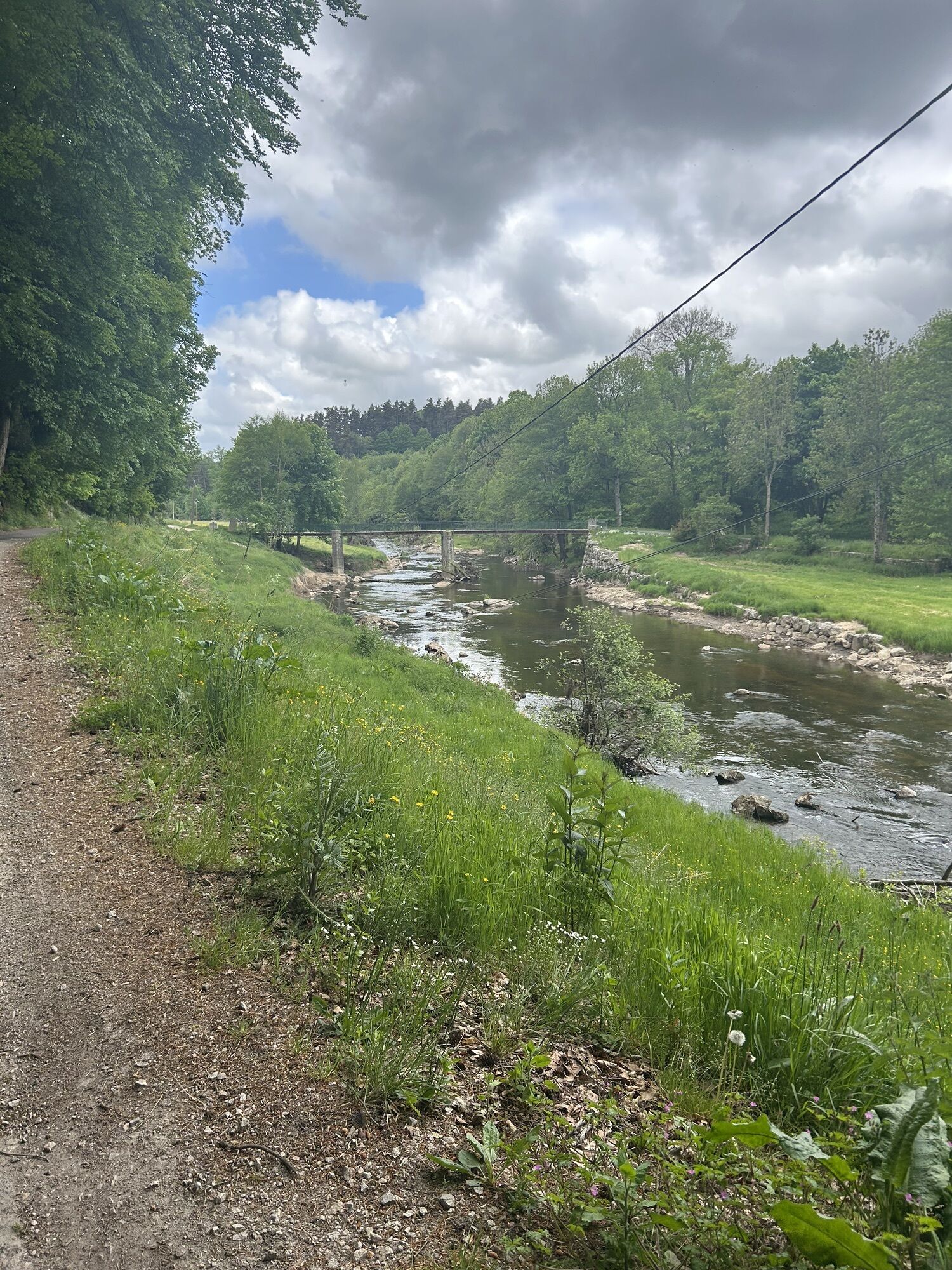
Pěší turistika a stopování


Église Saint-Jean-Baptiste - Le Grand Felletin - Cou'Tou - Église Saint-Martin
heavy
Vzdálenost
48.38
km
Doba trvání
04:45
h
Ascent
1343
hm
Hladina moře
821 -
1384
m
Stažení skladby
Église Saint-Jean-Baptiste - Le Grand Felletin - Cou'Tou - Église Saint-Martin
heavy
Mountainbike
48.38
km
Trasa
Église Saint-Jean-Baptiste
(836 m)
Místo konání bohoslužeb
0.0 km
Saint-Meyras
(946 m)
Vypořádání
5.2 km
Le Grand Felletin
(1387 m)
Summit
15.9 km
Le Bourg
(1121 m)
Sousedství
26.1 km
Église Saint-Jean-Baptiste
(1002 m)
Místo konání bohoslužeb
38.0 km
Mondet
(891 m)
Vypořádání
42.5 km
Église Saint-Martin
(849 m)
Místo konání bohoslužeb
48.4 km
Trasa
Église Saint-Jean-Baptiste - Le Grand Felletin - Cou'Tou - Église Saint-Martin
heavy
Mountainbike
48.38
km
Cou'Tou
(836 m)
Restaurace
0.0 km
Église Saint-Jean-Baptiste
(836 m)
Místo konání bohoslužeb
0.0 km
Riotord
(835 m)
Vesnice
0.0 km
Les Mazeaux
(985 m)
Vypořádání
2.1 km
La Gergère
(962 m)
Vypořádání
3.6 km
Saint-Meyras
(946 m)
Vypořádání
5.2 km
Col du Tracol
(1023 m)
Úhel pohledu
6.0 km
Les Sétoux
(1149 m)
Vypořádání
9.9 km
La Riboule
(1149 m)
Restaurace
10.0 km
Clavas
(1106 m)
Vypořádání
11.4 km
Abbaye Notre-Dame de Clavas
(1093 m)
Místo konání bohoslužeb
11.7 km
Le Grand Felletin
(1387 m)
Summit
15.9 km
Tredos
(1060 m)
Vypořádání
24.5 km
Saint-Bonnet-le-Froid
(1117 m)
Vesnice
25.8 km
Église Saint-Bonnet
(1118 m)
Místo konání bohoslužeb
25.9 km
Le Bourg
(1121 m)
Sousedství
26.1 km
Rochedix
(1083 m)
Vypořádání
32.9 km
Les Maisonnettes
(1021 m)
Vypořádání
34.8 km
Salette
(1041 m)
Vypořádání
35.9 km
Le Châtelard
(1001 m)
Vypořádání
36.9 km
Montregard
(1001 m)
Vesnice
38.0 km
Café Restaurant
(1002 m)
Restaurace
38.0 km
Église Saint-Jean-Baptiste
(1002 m)
Místo konání bohoslužeb
38.0 km
Les Champs
(968 m)
Vypořádání
39.8 km
Fours
(929 m)
Vypořádání
41.1 km
Mondet
(891 m)
Vypořádání
42.5 km
La Combe
(883 m)
Vypořádání
43.3 km
La Brosse
(886 m)
Vypořádání
44.7 km
Le Mouna
(864 m)
Vypořádání
45.5 km
Salettes
(861 m)
Vypořádání
47.4 km
Chapelle Notre-Dame du Perpétuel Secours
(844 m)
Místo konání bohoslužeb
48.1 km
Tence
(850 m)
Vesnice
48.2 km
Église Saint-Martin
(849 m)
Místo konání bohoslužeb
48.4 km
Zatím žádné recenze
Oblíbené prohlídky v okolí
-
La Riboule - Église Saint-André - Église Saint-Julien - Saint-Julien-Molin-Molette
heavyPoutní stezka 24.6 km -
Montfaucon-en-Velay - Les Suchets - Gîte d'étape Le Combalou - Les Sétoux
středníPoutní stezka 16.5 km -
Lavoûte-sur-Loire - Chapelle Sainte-Marguerite - Église Notre-Dame de l'Usine - Annonay
světloJízda na kole 97.9 km -
Lalouvesc - Église Saint-Sulpice - Église de la Nativité-de-la-Vierge - Au Pont
heavySilniční kolo 74.5 km -
Riotord - Saint-Meyras - Col du Tracol - Les Chavannes
Jízda na kole 6.94 km -
Le Plat du Lautat - Montchouvet - Bellevue - Saint-Romain-Lachalm
heavyMountainbike 16.7 km -
Les Terrasses de Lavalette - Le Betz - La Grange - Chenereilles
Jízda na kole 31.6 km -
Chapelle du couvent Saint-Joseph - Église Saint-Félicien - Suc de Mirabel - Devesset
Mountainbike 54.4 km -
Annonay - Église Notre-Dame de l'Usine - Église Saint-Bonnet - Devesset
Mountainbike 59.4 km -
Chapelle du couvent Saint-Joseph - Église Saint-Félicien - Col des Grands - Le Village
heavySilniční kolo 105.4 km
Pěší turistika a stopování

Více než 550.000 návrhů výletů, podrobné mapy a intuitivní plánovač tras dělají z aplikace nezbytnou výbavu pro všechny milovníky přírody.

Nenechte si ujít nabídky a inspiraci pro vaši příští dovolenou
Přihlaste se k odběru newsletteru
Chyba
Došlo k chybě. Zkuste to prosím znovu.
Děkujeme za vaši registraci
Vaše e-mailová adresa byl přidán do poštovního seznamu.
Zájezdy po celé Evropě
Rakousko
Švýcarsko
Německo
Itálie
Slovenia
Francie
Nizozemsko
Belgie
Polsko
Lichtenštejnsko
Česko
Slovensko
Španělsko
Chorvatsko
Bosna a Hercegovina
Lucembursko
Andorra
Portugal
Iceland
United Kingdom
Ireland
Greece
Albania
North Macedonia
Malta
Norway
Montenegro
Moldova
Kosovo
Hungary
San Marino
Romania
Estonia
Latvia
Belarus
Cyprus
Lithuania
Serbia
Bulgaria
Monaco
Denmark
Sweden
Finland