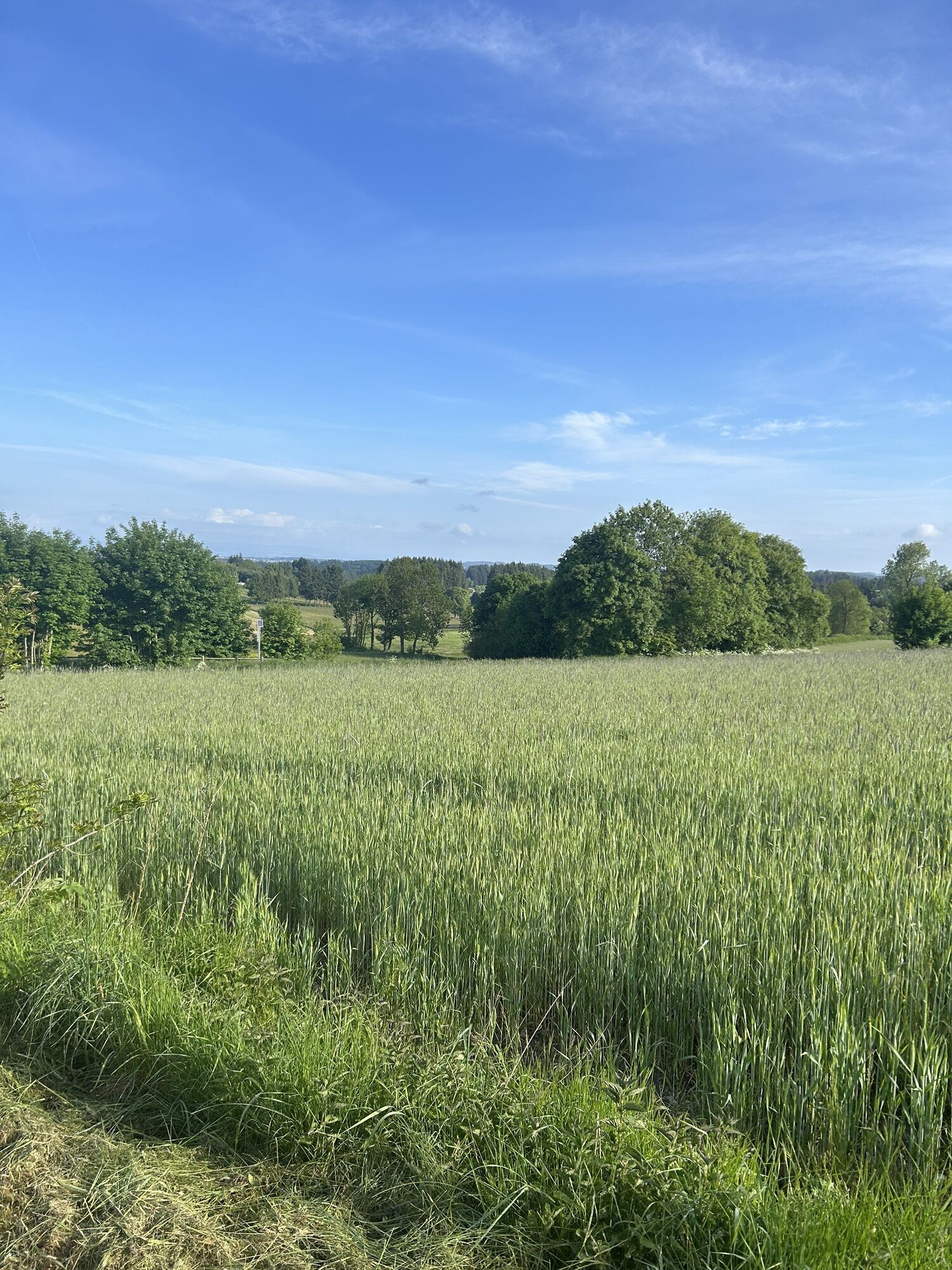
Clavas - Les Sétoux - La Loko - Chapelle Sainte-Marguerite
heavy
Navigace na stránkách
Navigace na stránkách
Pořiďte si tuto prohlídku do mobilního telefonu
Clavas - Les Sétoux - La Loko - Chapelle Sainte-Marguerite
heavy
Mountainbike
81.88
km
Naskenujte QR kód a spusťte navigaci v aplikaci bergfex.

Pěší turistika a stopování


Clavas - Les Sétoux - La Loko - Chapelle Sainte-Marguerite
heavy
Vzdálenost
81.88
km
Doba trvání
05:44
h
Ascent
1390
hm
Hladina moře
708 -
1207
m
Stažení skladby
Clavas - Les Sétoux - La Loko - Chapelle Sainte-Marguerite
heavy
Mountainbike
81.88
km
Trasa
Clavas
(1106 m)
Vypořádání
0.2 km
Montfaucon-en-Velay
(918 m)
Vesnice
18.6 km
Les Lardons
(894 m)
Vypořádání
20.4 km
La Dause
(831 m)
Vypořádání
28.7 km
Chapelle Sainte-Marguerite
(723 m)
Místo konání bohoslužeb
35.5 km
Chapelle Sainte-Marguerite
(723 m)
Místo konání bohoslužeb
43.7 km
Leygat
(824 m)
Vypořádání
70.1 km
Trasa
Clavas - Les Sétoux - La Loko - Chapelle Sainte-Marguerite
heavy
Mountainbike
81.88
km
Clavas
(1106 m)
Vypořádání
0.2 km
Les Sétoux
(1149 m)
Vypořádání
1.5 km
Sarcenas
(895 m)
Vypořádání
8.1 km
Pont de Faurie
(773 m)
Vypořádání
10.6 km
Dunières
(786 m)
Železniční stanice
12.2 km
La Loko
(787 m)
Restaurace
12.2 km
Dunières
(784 m)
Vesnice
12.8 km
Les Chaneaux
(849 m)
Vypořádání
14.5 km
Cublaize
(851 m)
Vypořádání
15.8 km
Montfaucon-en-Velay
(918 m)
Vesnice
18.6 km
Les Lardons
(894 m)
Vypořádání
20.4 km
Oumey
(867 m)
Vypořádání
21.8 km
Raucoules - Brossette
(864 m)
Železniční stanice
22.0 km
La Détourbe
(885 m)
Vypořádání
23.1 km
Lachaud
(896 m)
Vypořádání
24.6 km
Verne
(876 m)
Vesnice
25.8 km
Les Brus
(876 m)
Vypořádání
26.4 km
Lotissement de la Bruyère
(840 m)
Sousedství
27.6 km
La Dause
(831 m)
Vypořádání
28.7 km
L'Olivier
(843 m)
Restaurace
28.9 km
Lapte
(855 m)
Vesnice
29.2 km
Grazac
(792 m)
Vesnice
32.4 km
Villedemont
(792 m)
Vypořádání
33.7 km
La Chapelette
(741 m)
Vypořádání
35.3 km
Chapelle Sainte-Marguerite
(723 m)
Místo konání bohoslužeb
35.5 km
Pont de l'Enceinte
(701 m)
Vypořádání
36.7 km
Pont de l'Enceinte
(701 m)
Vypořádání
42.4 km
La Chapelette
(738 m)
Restaurace
43.6 km
Chapelle Sainte-Marguerite
(723 m)
Místo konání bohoslužeb
43.7 km
La Chapelette
(741 m)
Vypořádání
43.8 km
Villedemont
(792 m)
Vypořádání
45.4 km
Grazac
(792 m)
Vesnice
46.7 km
Lapte
(855 m)
Vesnice
49.8 km
L'Olivier
(843 m)
Restaurace
50.1 km
La Dause
(831 m)
Vypořádání
50.2 km
Lotissement de la Bruyère
(840 m)
Sousedství
51.4 km
Les Brus
(876 m)
Vypořádání
52.7 km
Verne
(876 m)
Vesnice
53.2 km
Lachaud
(896 m)
Vypořádání
54.4 km
La Détourbe
(885 m)
Vypořádání
56.0 km
Raucoules - Brossette
(864 m)
Železniční stanice
57.0 km
Oumey
(867 m)
Vypořádání
57.2 km
Les Lardons
(894 m)
Vypořádání
58.6 km
Montfaucon-en-Velay
(918 m)
Vesnice
60.4 km
Cublaize
(851 m)
Vypořádání
63.3 km
Les Chaneaux
(849 m)
Vypořádání
64.6 km
Dunières
(784 m)
Vesnice
66.2 km
La Loko
(787 m)
Restaurace
66.7 km
Dunières
(786 m)
Železniční stanice
66.8 km
Pont de Faurie
(773 m)
Vypořádání
68.4 km
Leygat
(824 m)
Vypořádání
70.1 km
Leygas
(818 m)
Vypořádání
70.4 km
Riotord
(835 m)
Vesnice
72.7 km
La Goutte
(903 m)
Vypořádání
75.0 km
Saint-Meyras
(946 m)
Vypořádání
76.8 km
Les Sétoux
(1149 m)
Vypořádání
80.2 km
La Riboule
(1149 m)
Restaurace
80.2 km
Clavas
(1106 m)
Vypořádání
81.6 km
Zatím žádné recenze

Oblíbené prohlídky v okolí
-
Le Plat du Lautat - Montchouvet - Bellevue - Saint-Romain-Lachalm
heavyMountainbike 16.7 km -
Montfaucon-en-Velay - Les Suchets - Gîte d'étape Le Combalou - Les Sétoux
středníPoutní stezka 16.5 km -
Lavoûte-sur-Loire - Chapelle Sainte-Marguerite - Église Notre-Dame de l'Usine - Annonay
světloJízda na kole 97.9 km -
Riotord - Saint-Meyras - Col du Tracol - Les Chavannes
Jízda na kole 6.94 km -
Les Terrasses de Lavalette - Le Betz - La Grange - Chenereilles
Jízda na kole 31.6 km -
Église Saint-Pierre - La Garde - Grazac - La Passerelle
světloJízda na kole 19.8 km -
Saint-Maurice-de-Lignon - Le Bouchet - Le Poux - Église Saint-Maurice
světloJízda na kole 10.8 km -
Yssingeaux - Les Aygues - Le Neyrial - La Freyde
heavyJízda na kole 29.0 km -
Saint-Jeures - Chapelle Notre-Dame - Église Saint-Pierre - Montfaucon-en-Velay
středníPoutní stezka 19.7 km -
Maubourg - La Maman - Mazard - Rouzou
středníTuristika 7.82 km

Pěší turistika a stopování

Více než 550.000 návrhů výletů, podrobné mapy a intuitivní plánovač tras dělají z aplikace nezbytnou výbavu pro všechny milovníky přírody.

Nenechte si ujít nabídky a inspiraci pro vaši příští dovolenou
Přihlaste se k odběru newsletteru
Chyba
Došlo k chybě. Zkuste to prosím znovu.
Děkujeme za vaši registraci
Vaše e-mailová adresa byl přidán do poštovního seznamu.
Zájezdy po celé Evropě
Rakousko
Švýcarsko
Německo
Itálie
Slovenia
Francie
Nizozemsko
Belgie
Polsko
Lichtenštejnsko
Česko
Slovensko
Španělsko
Chorvatsko
Bosna a Hercegovina
Lucembursko
Andorra
Portugal
Iceland
United Kingdom
Ireland
Greece
Albania
North Macedonia
Malta
Norway
Montenegro
Moldova
Kosovo
Hungary
San Marino
Romania
Estonia
Latvia
Belarus
Cyprus
Lithuania
Serbia
Bulgaria
Monaco
Denmark
Sweden
Finland