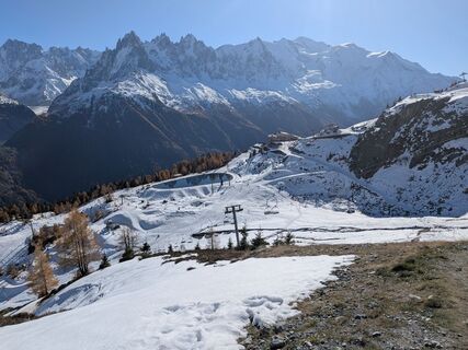
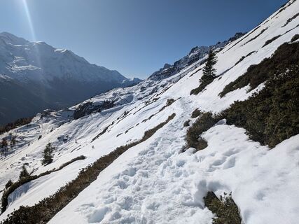
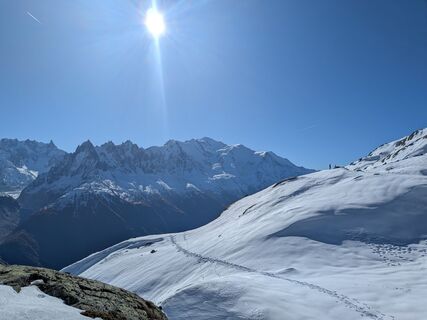
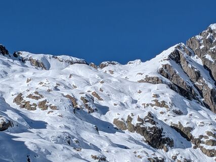
Tré-le-Champ - le Haut - Le Brévent - Tête de Bellachat - Le Raccart
střední
Navigace na stránkách
Navigace na stránkách
Pořiďte si tuto prohlídku do mobilního telefonu
Tré-le-Champ - le Haut - Le Brévent - Tête de Bellachat - Le Raccart
střední
dálková pěší trasa
46.74
km
Naskenujte QR kód a spusťte navigaci v aplikaci bergfex.

Pěší turistika a stopování


Tré-le-Champ - le Haut - Le Brévent - Tête de Bellachat - Le Raccart
střední
Vzdálenost
46.74
km
Doba trvání
17:43
h
Ascent
2368
hm
Hladina moře
978 -
2481
m
Stažení skladby
Tré-le-Champ - le Haut - Le Brévent - Tête de Bellachat - Le Raccart
střední
dálková pěší trasa
46.74
km
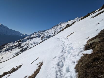
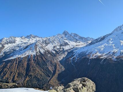
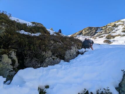
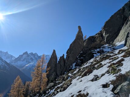
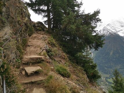
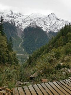
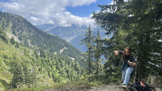
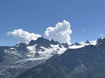
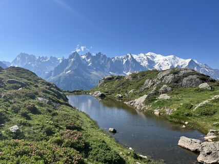
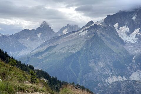
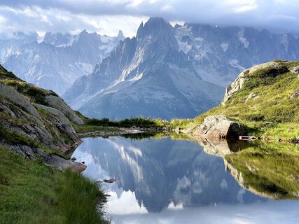
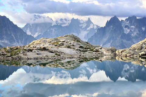
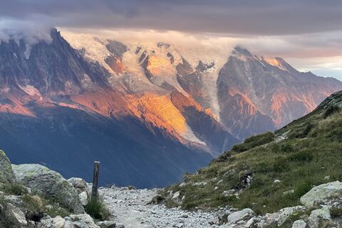
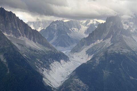
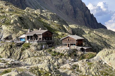
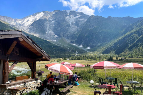
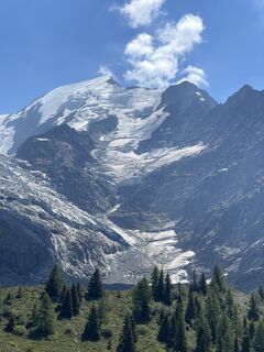
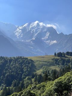
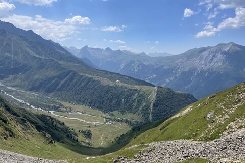
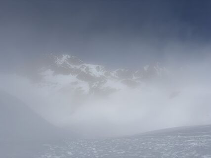
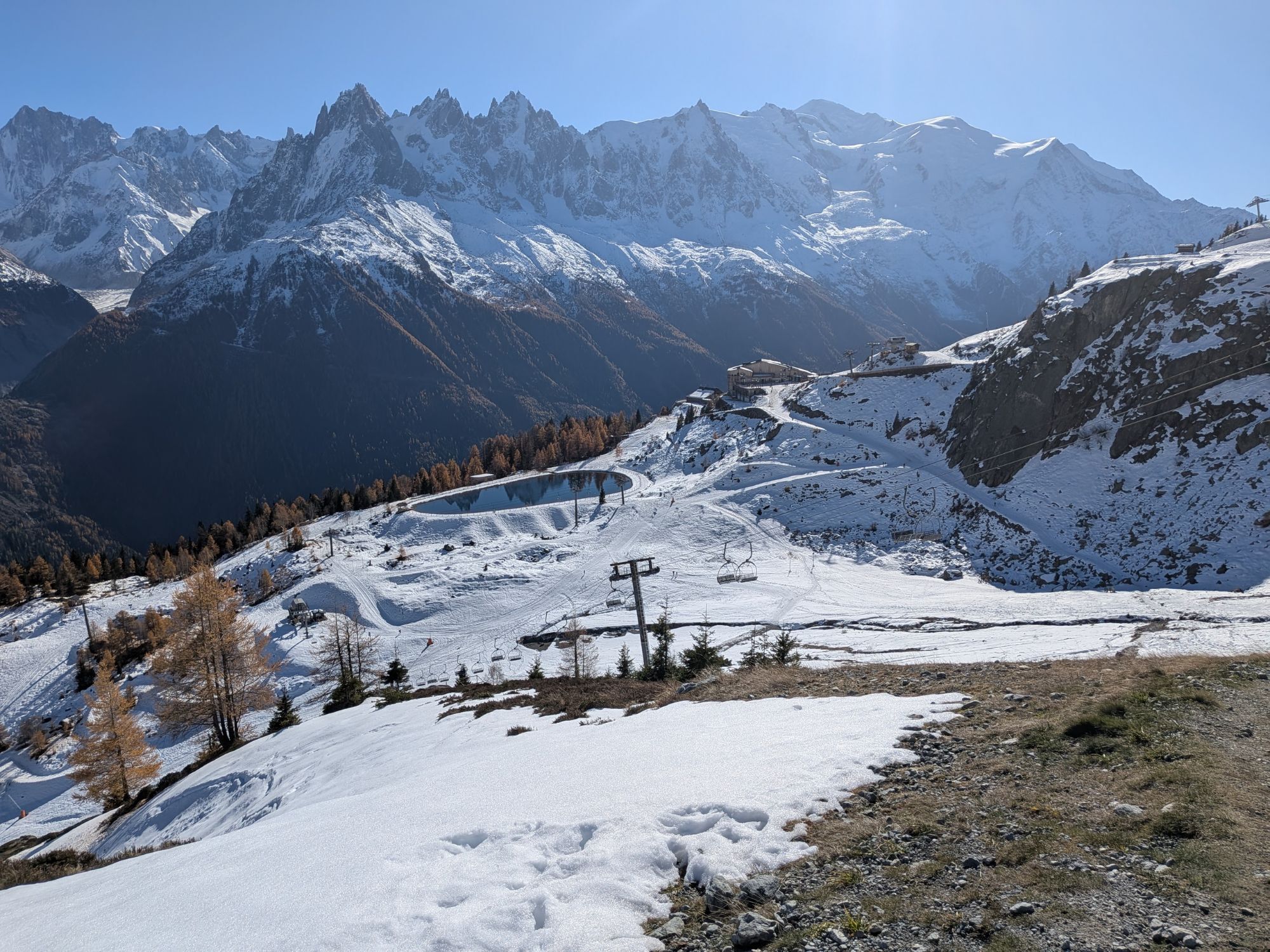
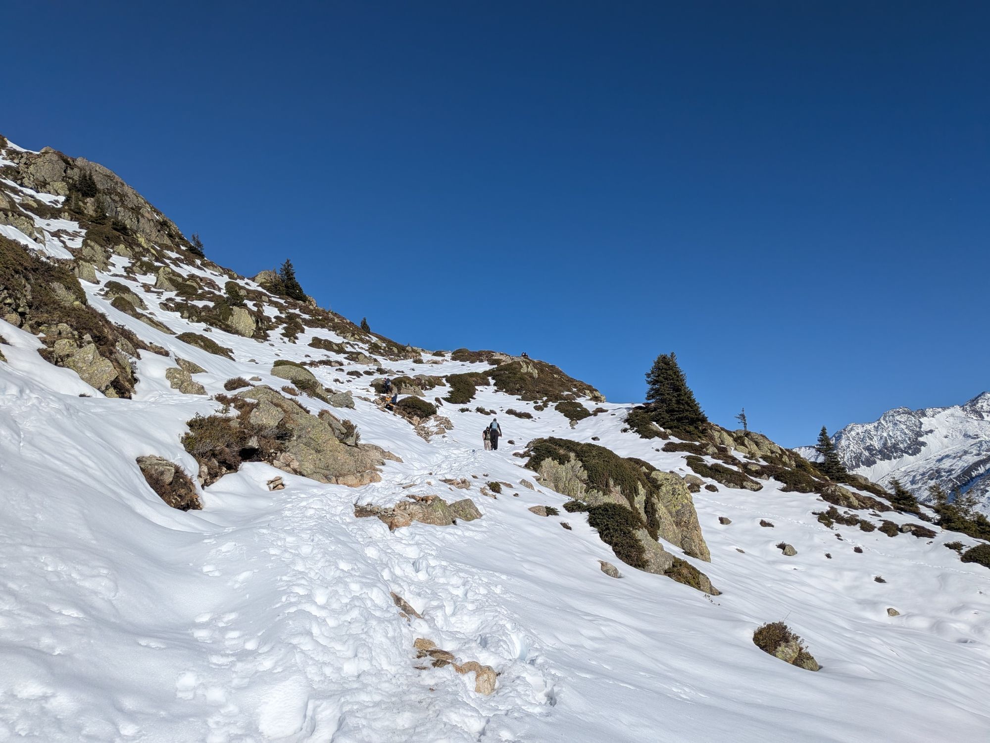
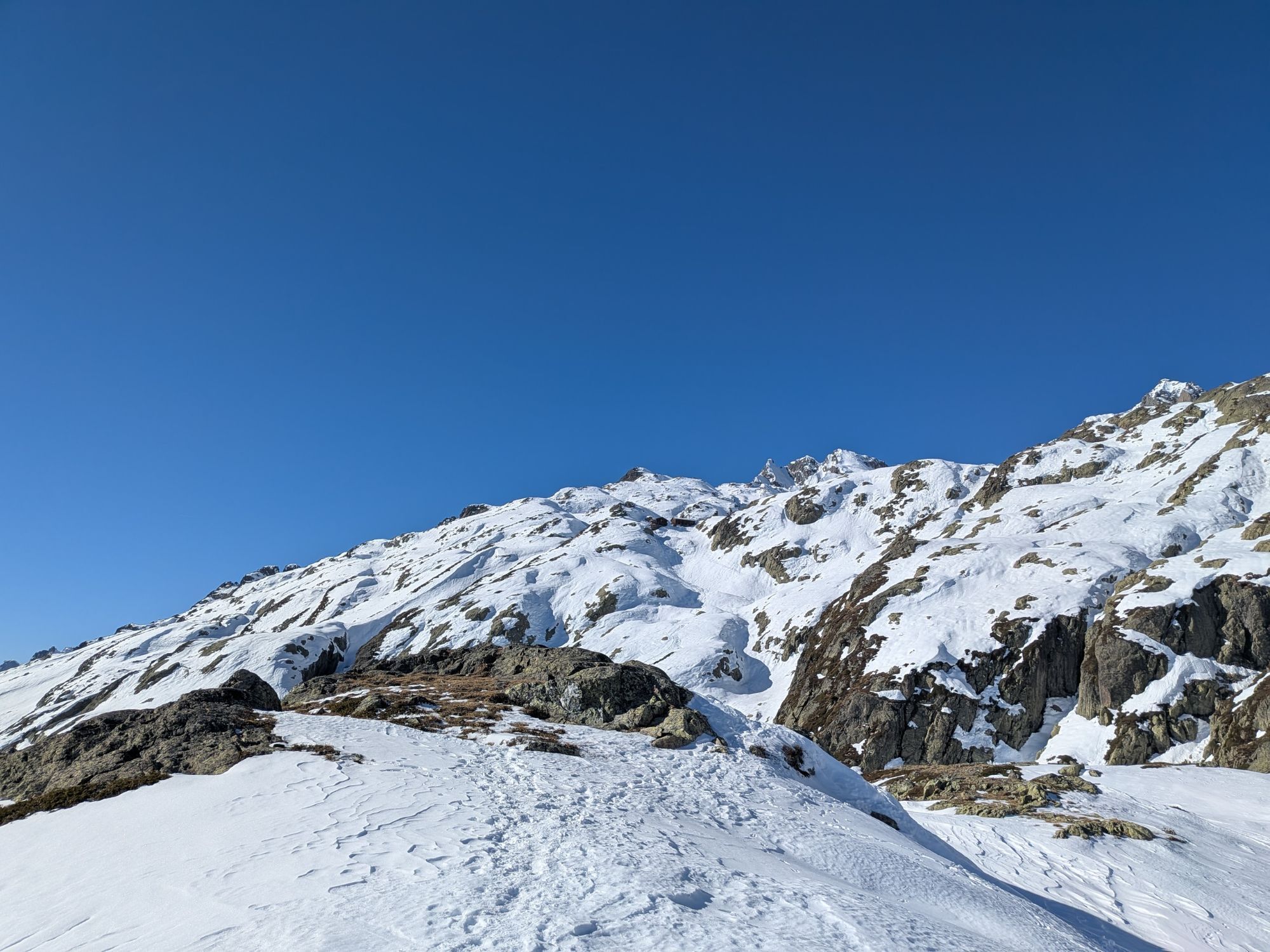
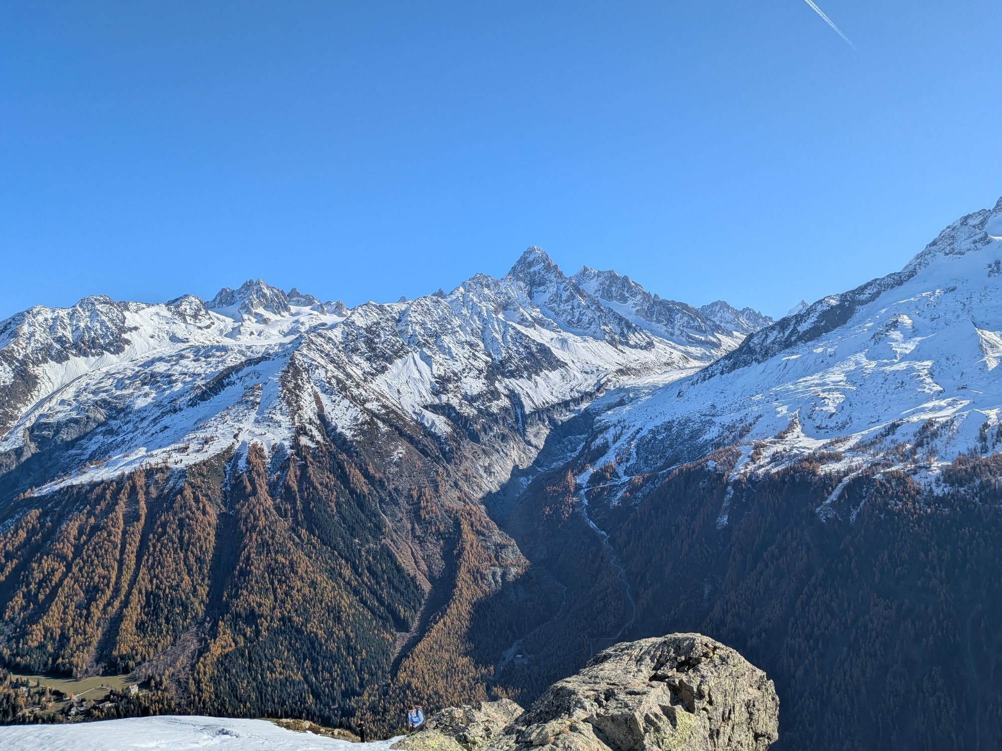
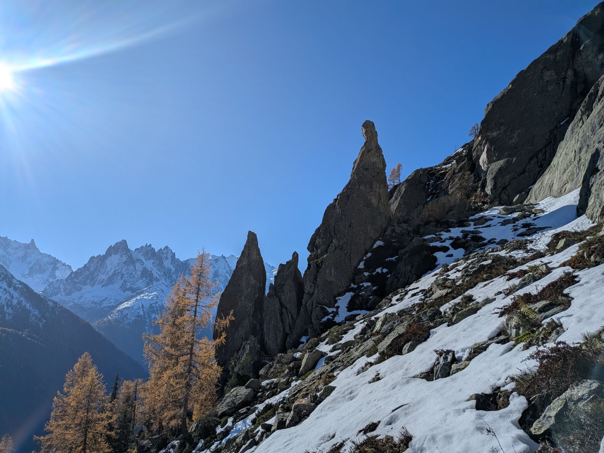
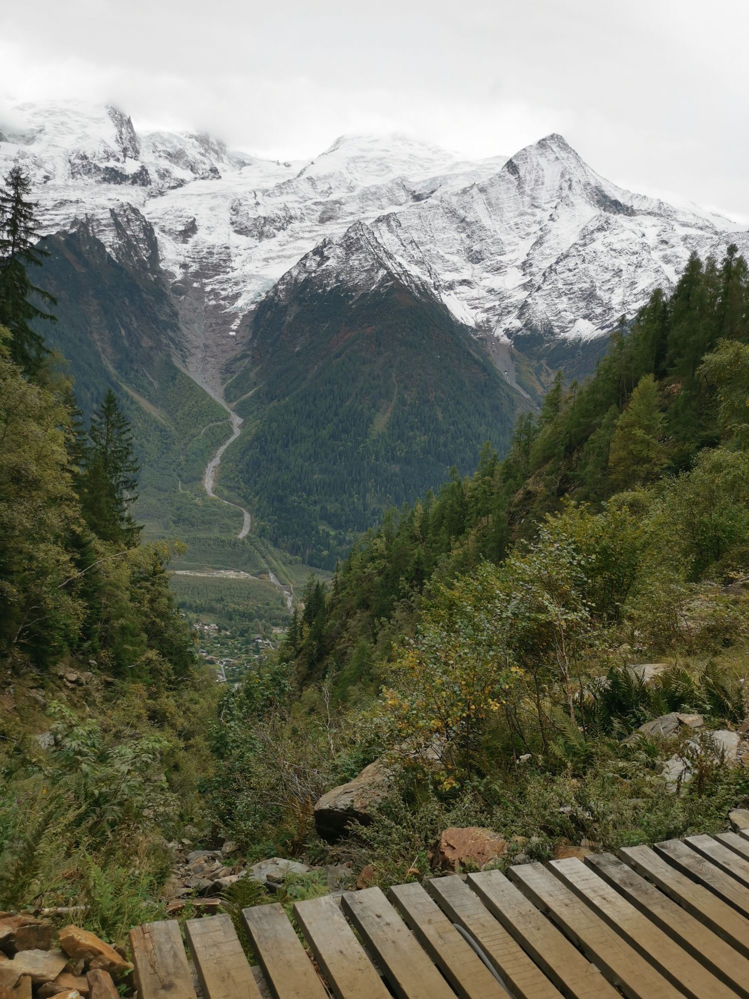
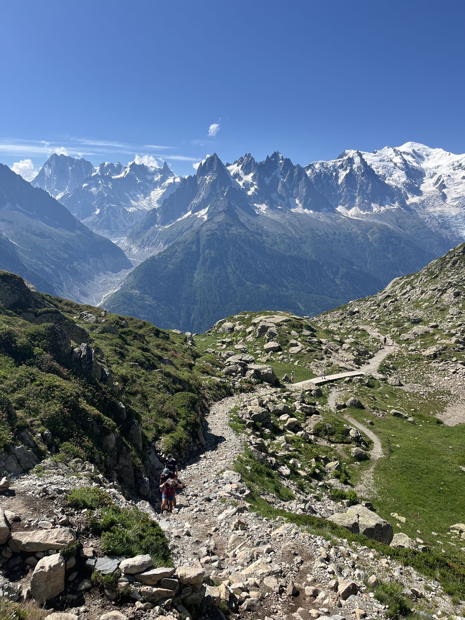
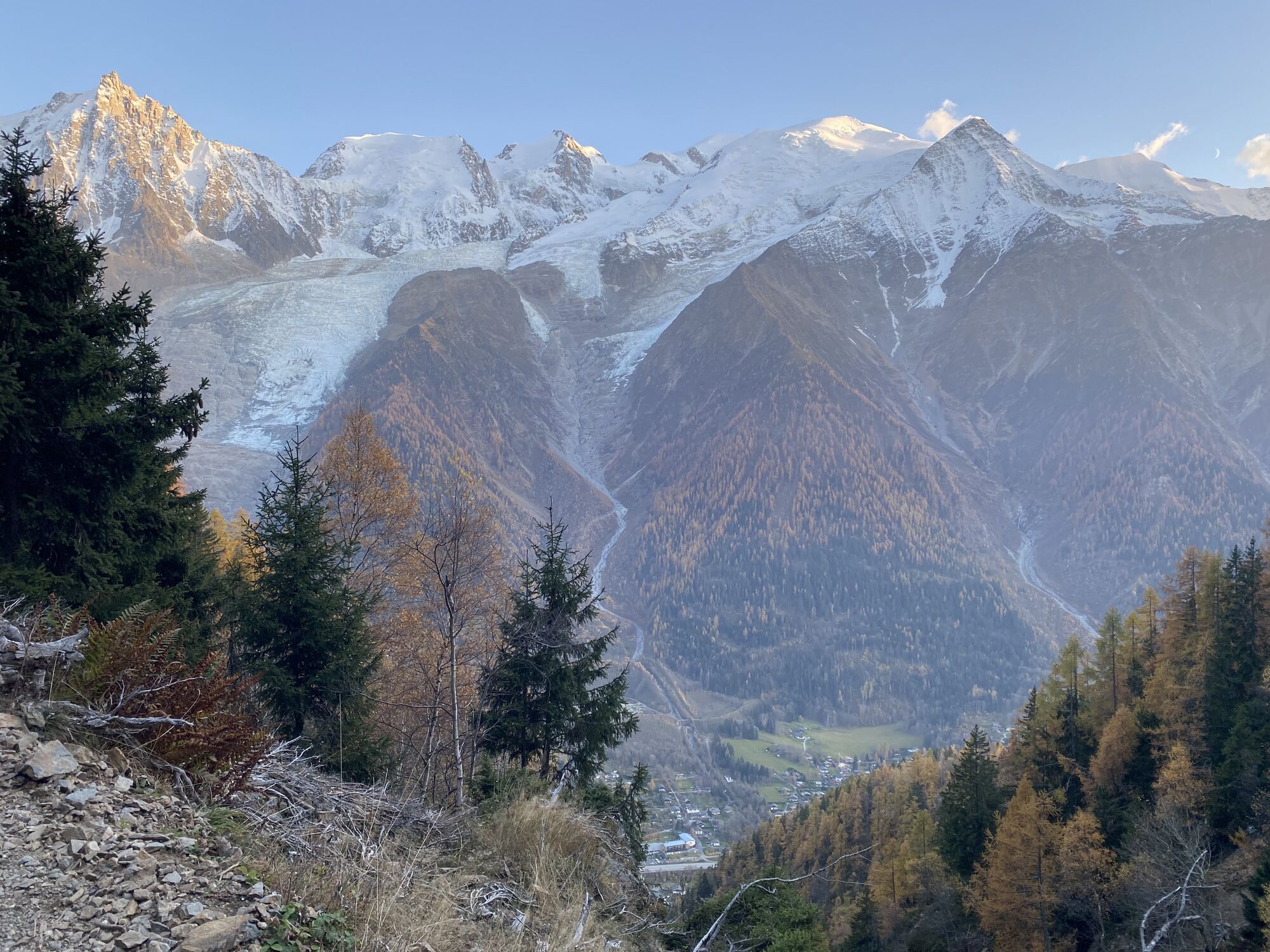
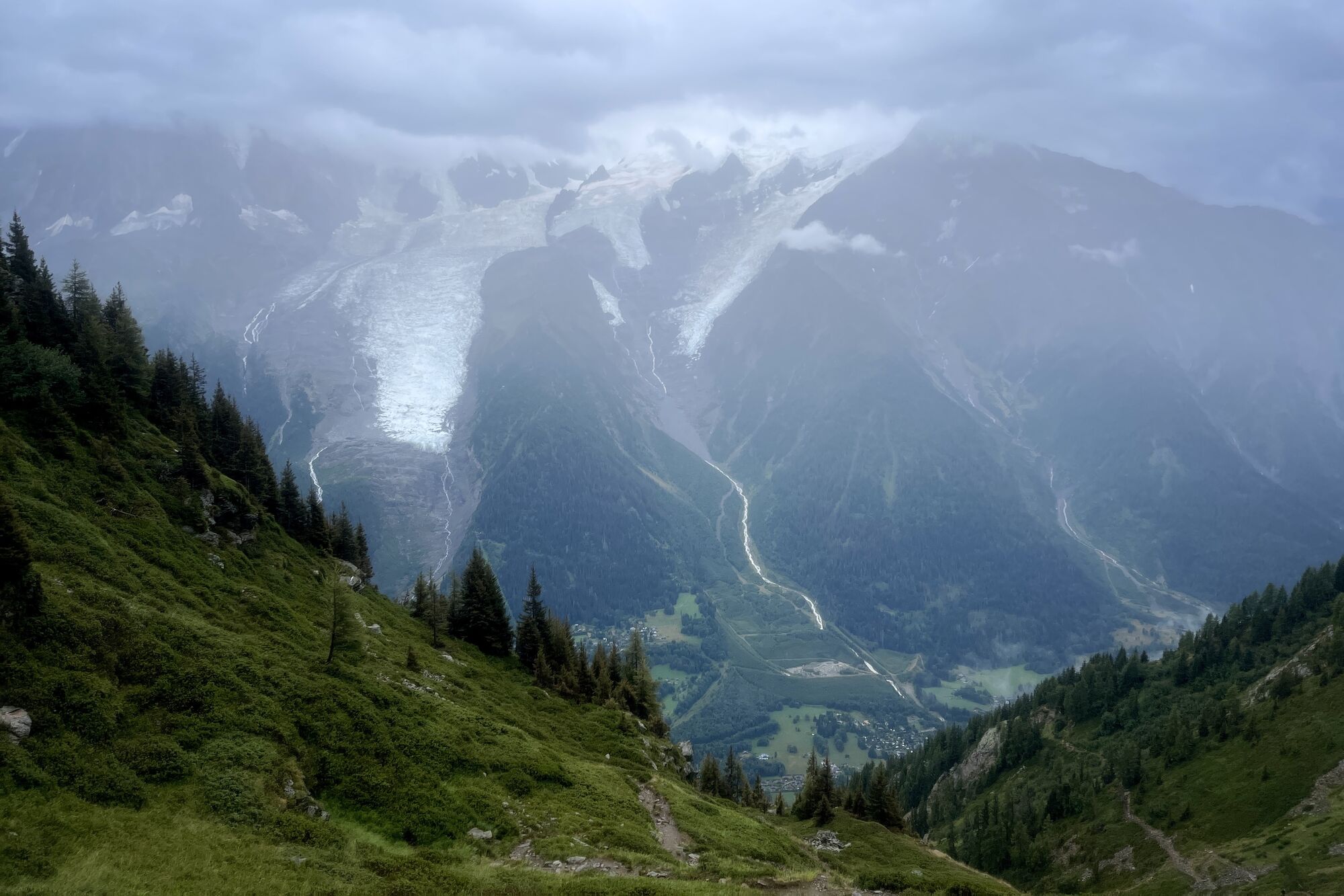
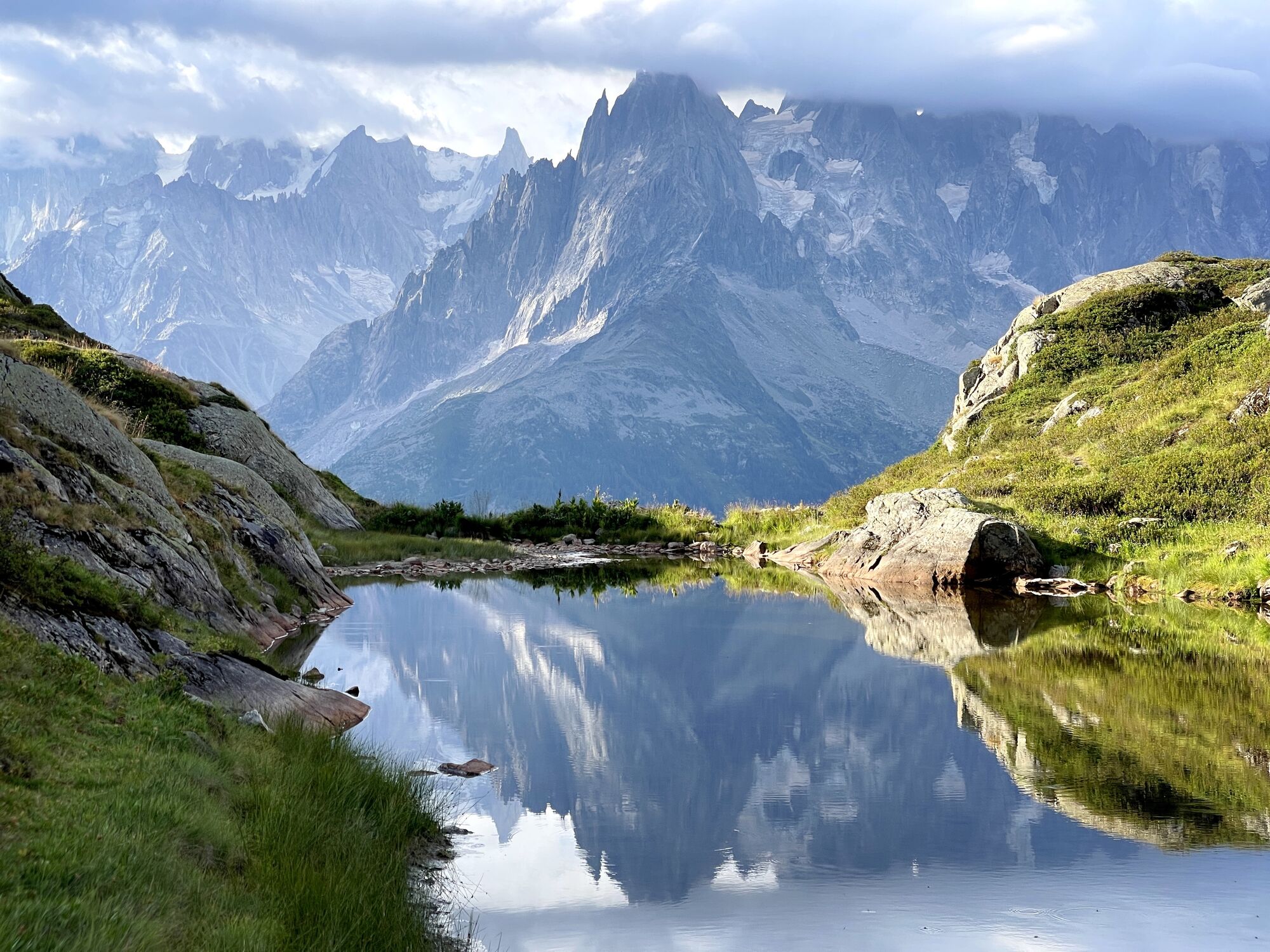
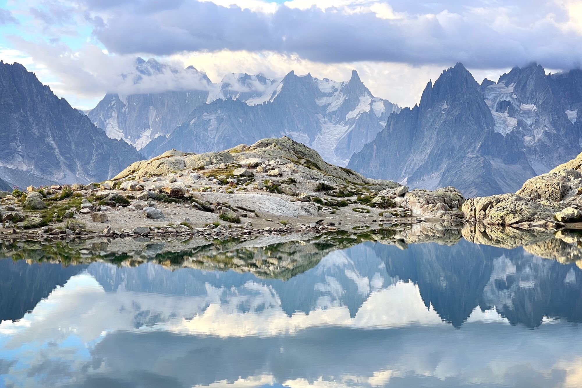
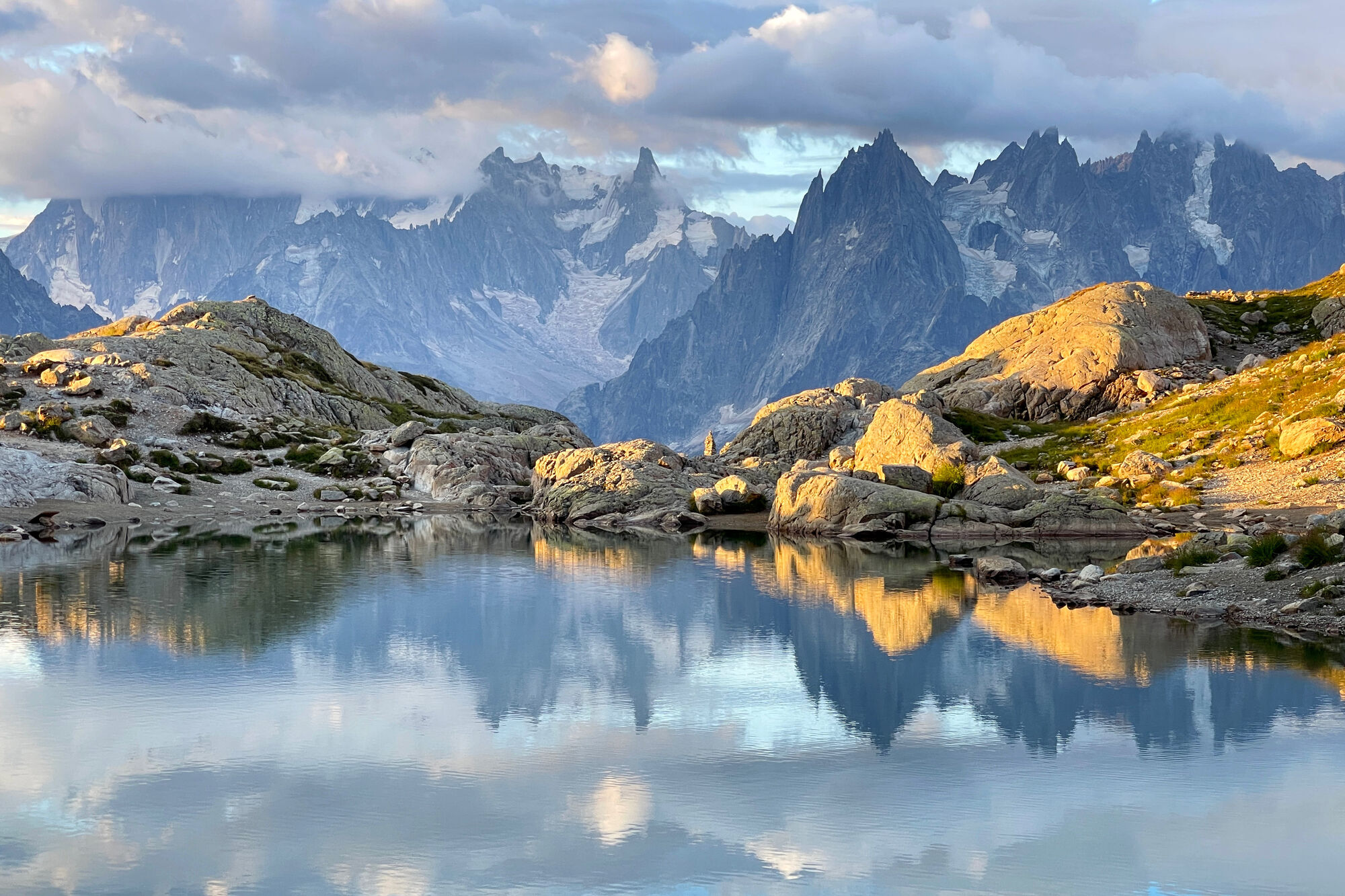
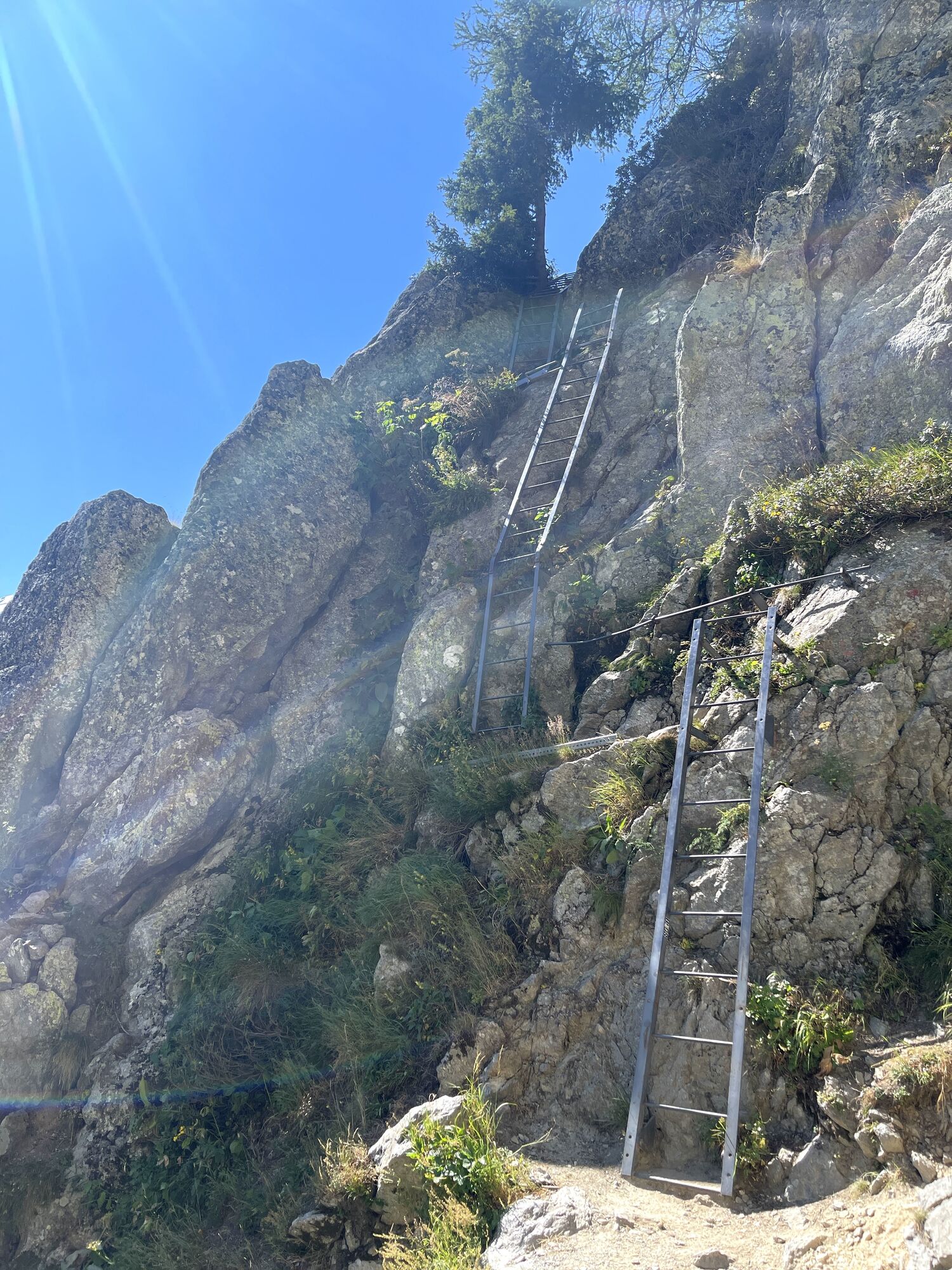
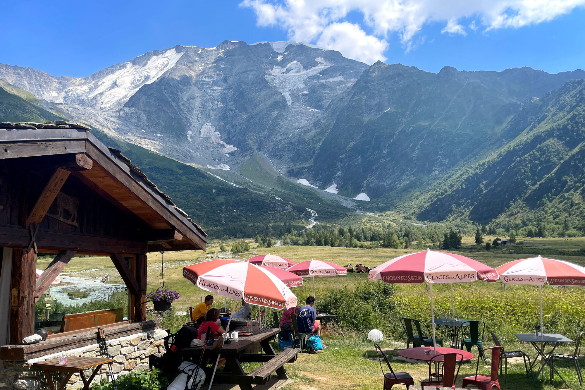
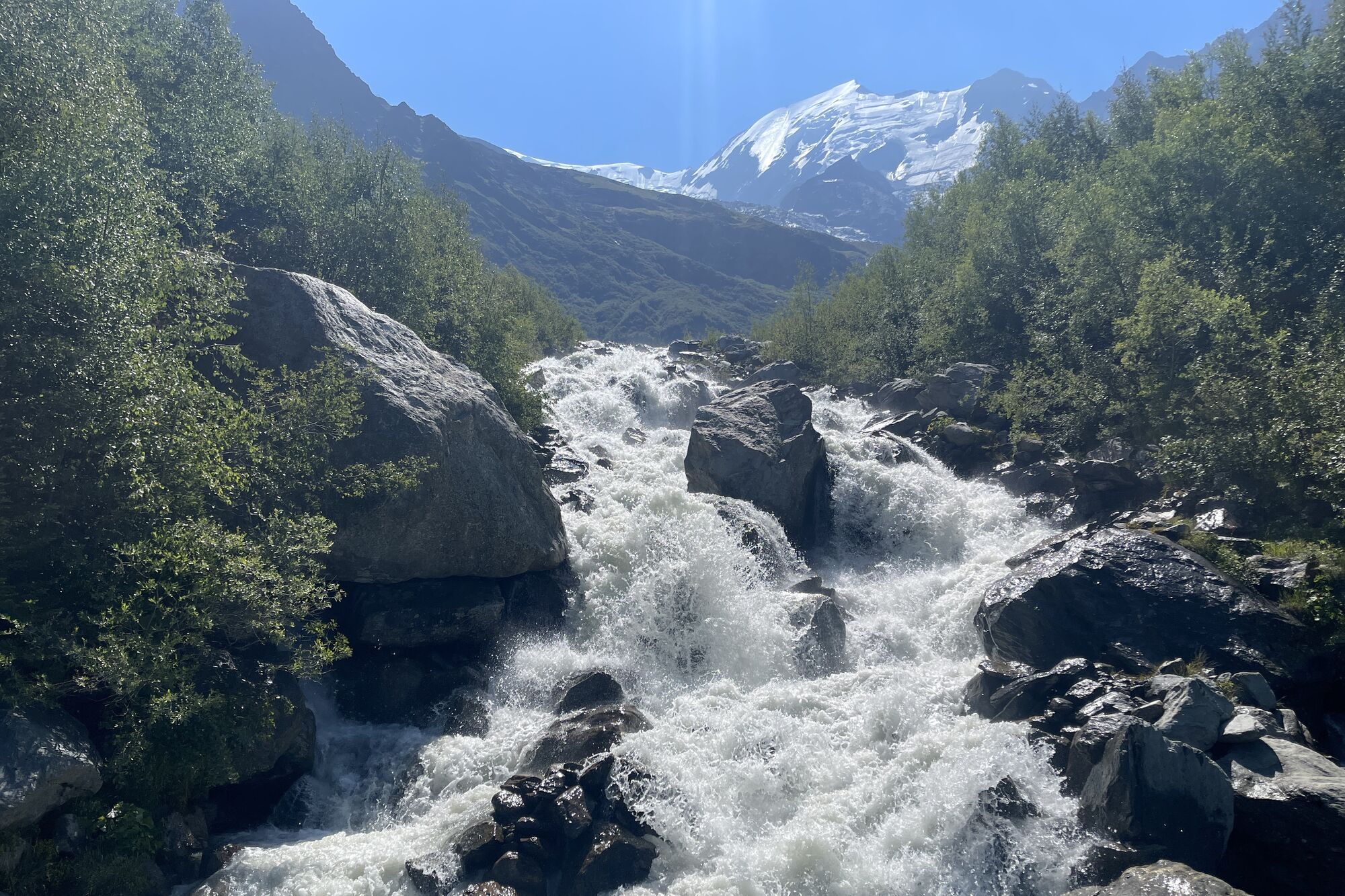
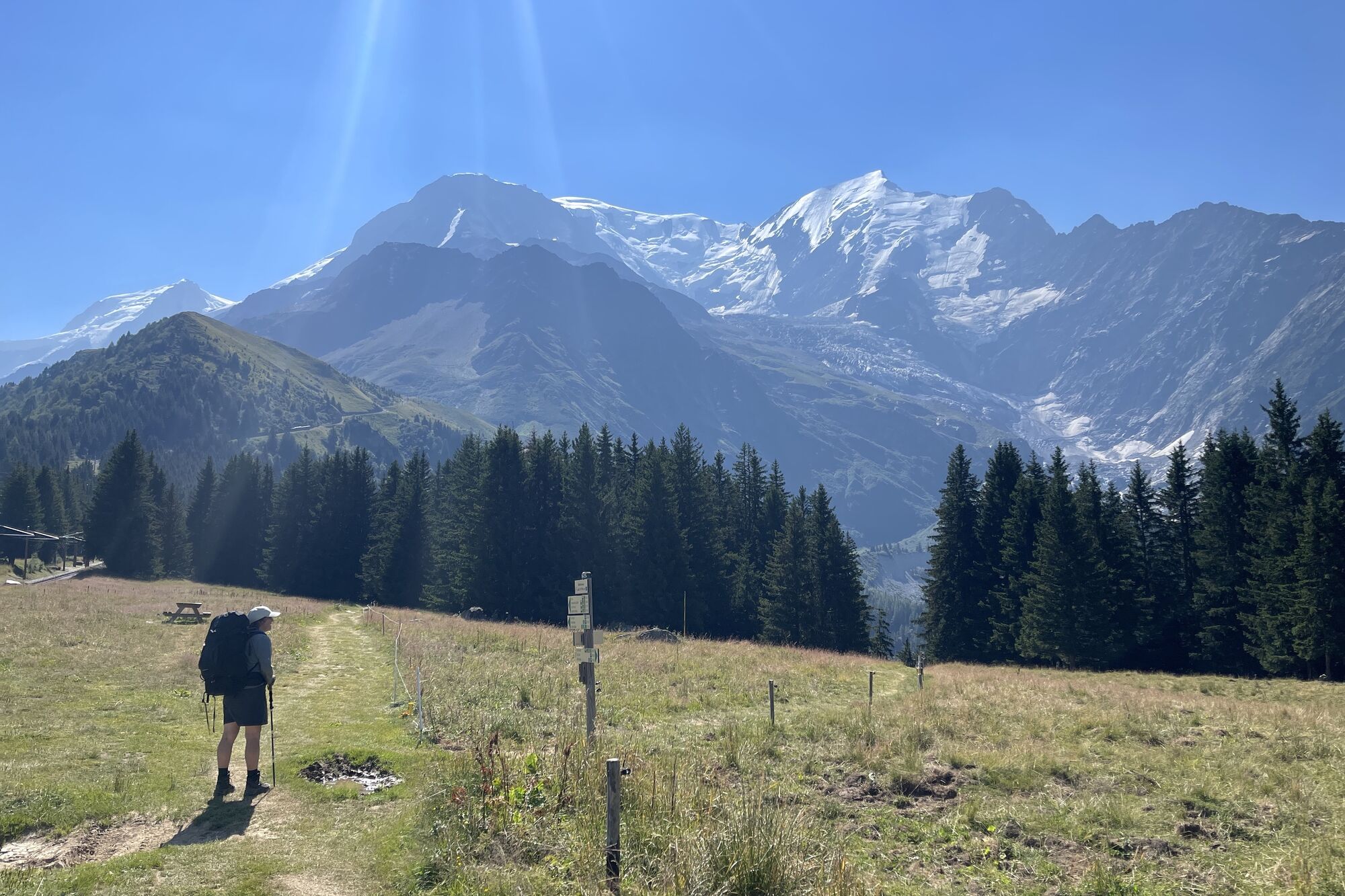
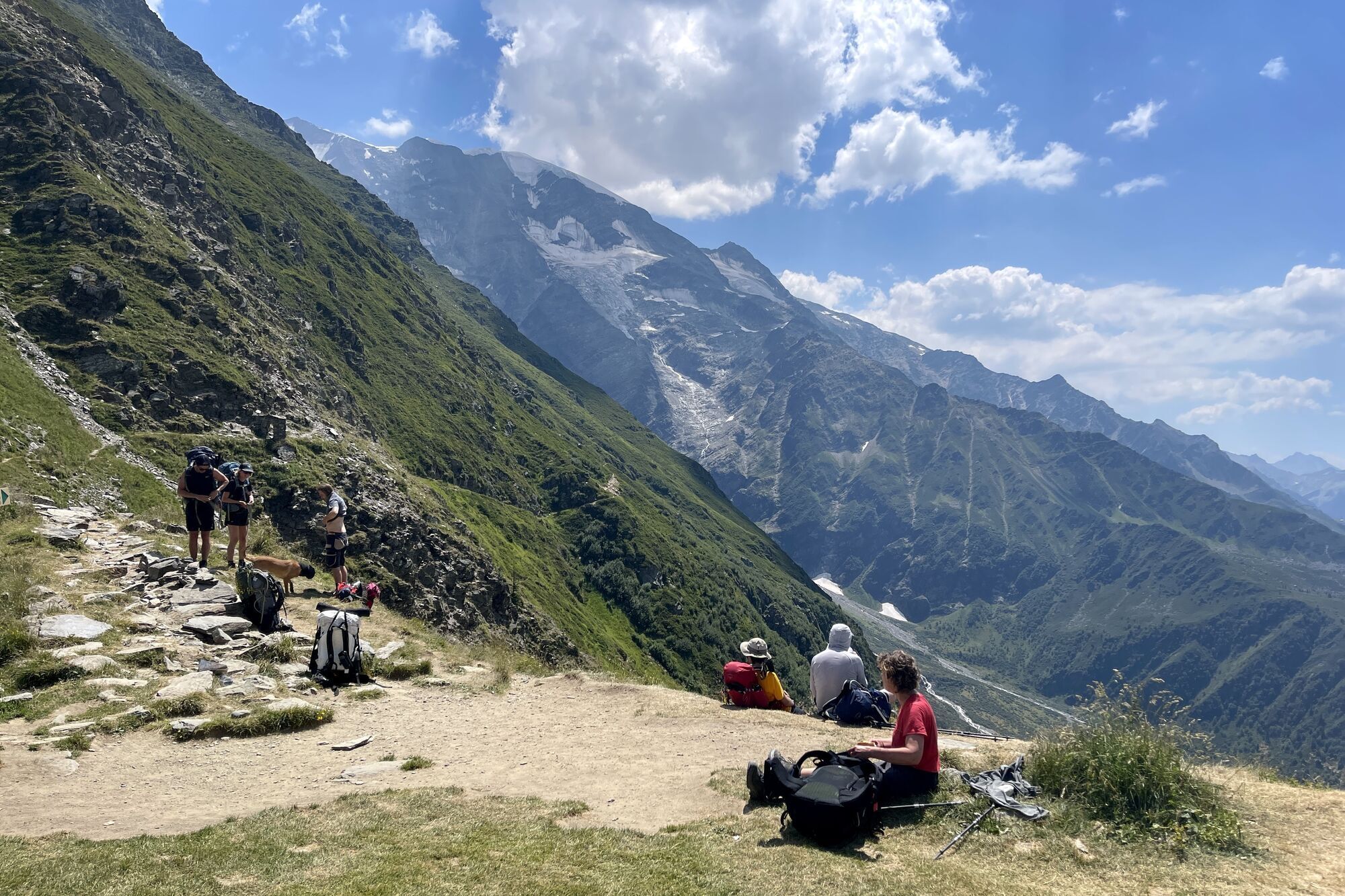
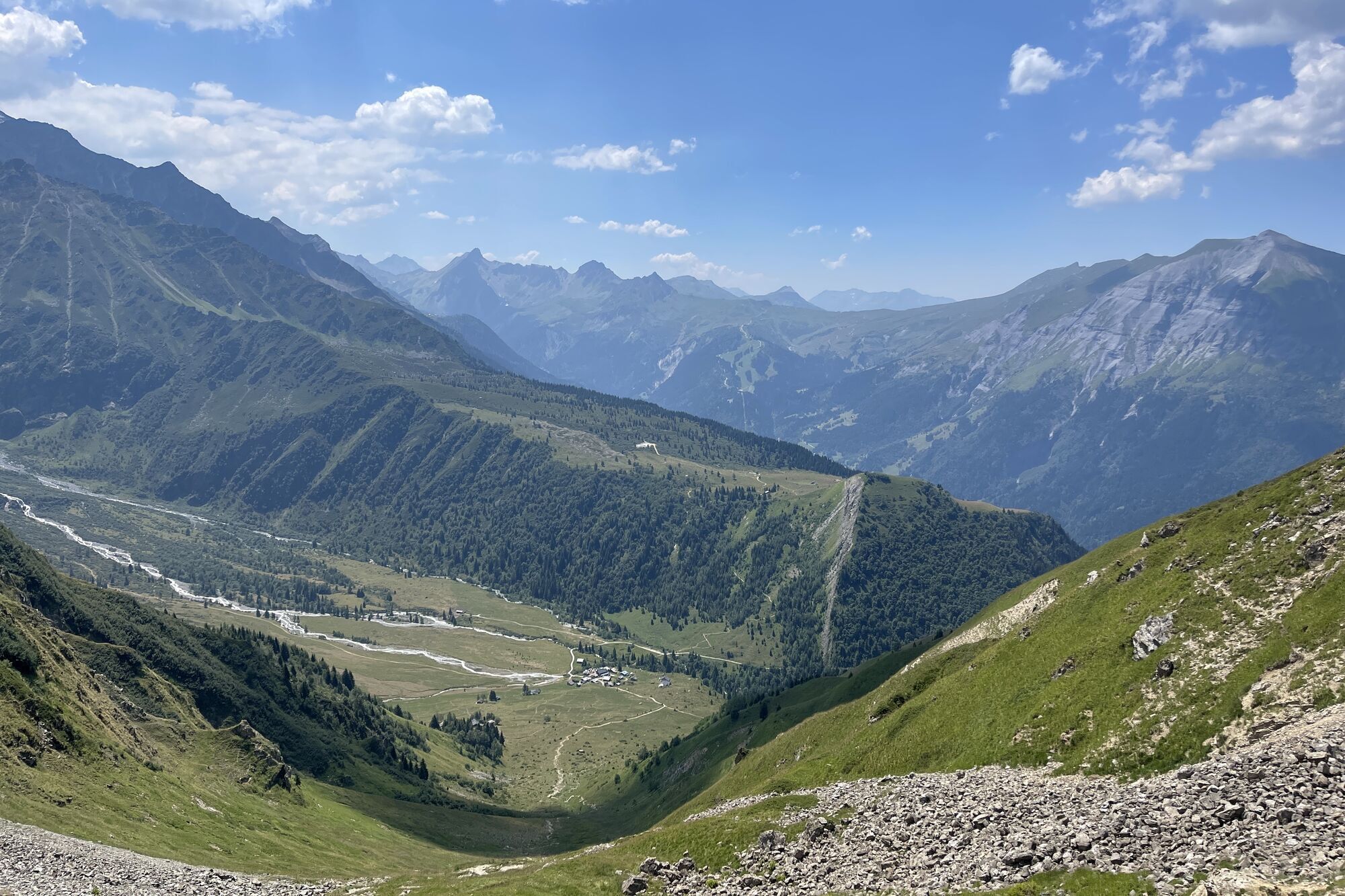
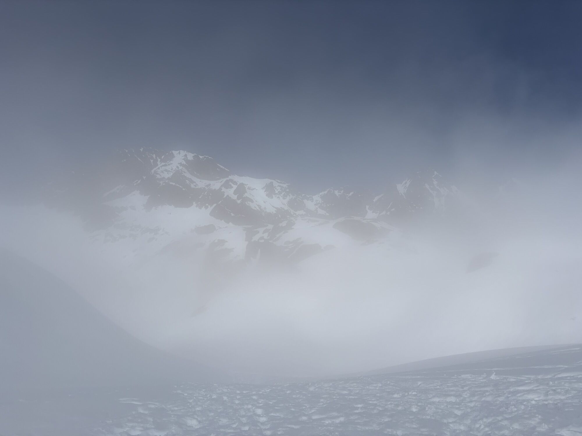
Fotografie našich uživatelů
-
 © Guillaume OriezVytvořeno dne 08.11.2025
 -
 © Guillaume OriezVytvořeno dne 08.11.2025
 -
 © Guillaume OriezVytvořeno dne 08.11.2025
 -
 © Guillaume OriezVytvořeno dne 08.11.2025
 -
 © Guillaume OriezVytvořeno dne 08.11.2025
 -
 © Guillaume OriezVytvořeno dne 08.11.2025
 -
 © Guillaume OriezVytvořeno dne 08.11.2025
 -
 © Guillaume OriezVytvořeno dne 08.11.2025
 -
 © Guillaume OriezVytvořeno dne 08.11.2025
 -
 © Guillaume OriezVytvořeno dne 08.11.2025
 -
 © Evgenij PetrjukVytvořeno dne 03.10.2025
 -
 © Evgenij PetrjukVytvořeno dne 03.10.2025
 -
 © Dirk MaseraVytvořeno dne 29.07.2025
 -
 © berendoenemaVytvořeno dne 01.07.2025
 -
 © berendoenemaVytvořeno dne 01.07.2025
 -
 © berendoenemaVytvořeno dne 01.07.2025
 -

 © Sepp MaxVytvořeno dne 06.11.2024
 -

 © GloopVytvořeno dne 29.07.2022
 -
 © GloopVytvořeno dne 29.07.2022
 -
 © GloopVytvořeno dne 29.07.2022
 -
 © GloopVytvořeno dne 29.07.2022
 -
 © GloopVytvořeno dne 29.07.2022
 -
 © GloopVytvořeno dne 28.07.2022
 -
 © GloopVytvořeno dne 28.07.2022
 -
 © GloopVytvořeno dne 28.07.2022
 -
 © GloopVytvořeno dne 28.07.2022
 -
 © GloopVytvořeno dne 19.07.2022
 -
 © GloopVytvořeno dne 19.07.2022
 -
 © GloopVytvořeno dne 19.07.2022
 -
 © GloopVytvořeno dne 19.07.2022
 -
 © GloopVytvořeno dne 19.07.2022
 -
 © GloopVytvořeno dne 19.07.2022
 -
 © GloopVytvořeno dne 19.07.2022
 -
 © GloopVytvořeno dne 19.07.2022
 -
 © Nikolas von MerveldtVytvořeno dne 01.03.2026


Trasa
Aiguillette d'Argentiere
(1893 m)
Summit
2.3 km
Tête de Bellachat
(2276 m)
Summit
17.9 km
Église Saint-Jean-Baptiste
(1012 m)
Místo konání bohoslužeb
27.7 km
Les Trabets
(992 m)
Vypořádání
28.5 km
Chalet du Délevret
(1656 m)
Restaurace
33.9 km
Auberge du Truc
(1721 m)
Úkryt
42.9 km
Le Truc
(1719 m)
Vypořádání
43.0 km
Trasa
Tré-le-Champ - le Haut - Le Brévent - Tête de Bellachat - Le Raccart
střední
dálková pěší trasa
46.74
km
Tré-le-Champ - le Haut
(1407 m)
Vypořádání
0.0 km
Tré-le-Champ - le Bas
(1393 m)
Vypořádání
0.2 km
Aiguillette d'Argentiere
(1893 m)
Summit
2.3 km
La Tête aux Vents
(2085 m)
Koridor/terén
3.1 km
Refuge du Lac Blanc
(2359 m)
Úkryt
5.1 km
La Flégère
(1879 m)
Úkryt
8.2 km
L'Adret de la flégère
(1890 m)
Restaurace
8.3 km
La Charlanon
(1811 m)
Koridor/terén
10.7 km
Parsa
(2070 m)
Stanice gondoly
13.3 km
Le Brévent
(2525 m)
Summit
16.0 km
Tête de Bellachat
(2276 m)
Summit
17.9 km
Refuge de Bellachat
(2151 m)
Úkryt
18.5 km
Merlet
(1528 m)
Koridor/terén
21.0 km
Le Balcon de Merlet
(1532 m)
Restaurace
21.3 km
Les Houches
(1007 m)
Vesnice
27.5 km
Église Saint-Jean-Baptiste
(1012 m)
Místo konání bohoslužeb
27.7 km
Les Champs
(1037 m)
Vypořádání
27.8 km
L'Essert
(1005 m)
Vypořádání
28.2 km
Les Trabets
(992 m)
Vypořádání
28.5 km
Le Fouilly
(1010 m)
Vypořádání
29.0 km
Les Crêts
(1103 m)
Vypořádání
29.7 km
Les Aillouds
(1118 m)
Vypořádání
30.0 km
Belleface
(1149 m)
Vypořádání
30.2 km
Maison Neuve
(1210 m)
Vypořádání
30.9 km
La Fré'Mi
(1557 m)
Restaurace
32.7 km
Le Hors Pistes
(1572 m)
Restaurace
32.8 km
Maison Neuve
(1570 m)
Stanice gondoly
32.8 km
Kandahar
(1578 m)
Stanice gondoly
32.8 km
Col de Voza
(1656 m)
Železniční stanice
33.9 km
Chalet du Délevret
(1656 m)
Restaurace
33.9 km
Gare de Bellevue Hiver
(1771 m)
Železniční stanice
35.1 km
Col de Tricot
(2120 m)
Úhel pohledu
39.2 km
Miage d'en Haut
(1595 m)
Vypořádání
41.0 km
Refuge de Miage
(1560 m)
Úkryt
41.5 km
Auberge du Truc
(1721 m)
Úkryt
42.9 km
Le Truc
(1719 m)
Vypořádání
43.0 km
Les Granges de la Frasse
(1351 m)
Vypořádání
45.2 km
La Frasse
(1262 m)
Vypořádání
45.6 km
Les Contamines-Montjoie
(1164 m)
Vesnice
46.3 km
Le Raccart
(1150 m)
Vypořádání
46.6 km
Oceňování
5
(2)
4
(0)
3
(0)
2
(0)
1
(0)
Webové kamery z prohlídky
-
L'Aiguille du Midi
-
L'arête de l'Aiguille du Midi
-
Balme - Télésiège des Autannes
-
Village - Contamines
-
Balme - Charamillon
-
Vallee de Vallorcine - Bergstation Vallorcine
-
Montenvers - Vue Grotte de Glace
-
Brévent - Telecabine de Plan-Praz
-
Hauteluce - Beaufortain
-
Montjoie - Lac de l´Etape
-
Montjoie - Le Contamines
-
Village - TC Monjoie Talstation
-
Saint-Gervais
-
Grands Montets - Argentière
-
Montjoie - Signal
-
Montjoie
-
Chamonix-Mont-Blanc - Ville
-
Les Houches - Village
-
Départ Aiguille du Midi
-
Grands Montets - Espace Débutant
-
Les Houches - Village
-
Epaule
-
Balme - Depuis les Autannes
-
L'Etape 1500
-
Plateau de Lognan
-
Plateau de la Croix

Oblíbené prohlídky v okolí
-
5.0
„Tour du Mont Blanc“ - The most beautiful hike in Europe through France, Italy and Switzerland.
středníTuristika 183.6 km -
5.0
Mont Blanc
heavyVysokohorská turistika 19 km -
4.6
La Jonction
heavyVysokohorská turistika 13.7 km -
Mont Blanc Skitour
heavyLyžařská trasa 22.3 km -
5.0
Goldtoni - Alpenbogen A065-4 Refuge Cosmique-Refuge Tete Rousse
heavydálková pěší trasa 13.4 km -
Mont Blanc
heavyVysokohorská turistika 41.3 km -
4.0
Chamonix-Mont-Blanc, Auvergne-Rhône-Alpes/France // B/C
středníVia ferrata 2.59 km -
Complete TMB met alle varianten
středníTuristika 204.7 km -
5.0
Goldtoni - Alpenbogen A065-6 Comiques Grat Aiguille Mide
heavydálková pěší trasa 5.64 km -
MontBlanc day 1
heavyLyžařská trasa 7.58 km
Pěší turistika a stopování

Více než 550.000 návrhů výletů, podrobné mapy a intuitivní plánovač tras dělají z aplikace nezbytnou výbavu pro všechny milovníky přírody.

Nenechte si ujít nabídky a inspiraci pro vaši příští dovolenou
Přihlaste se k odběru newsletteru
Chyba
Došlo k chybě. Zkuste to prosím znovu.
Děkujeme za vaši registraci
Vaše e-mailová adresa byl přidán do poštovního seznamu.
Zájezdy po celé Evropě
Rakousko
Švýcarsko
Německo
Itálie
Slovenia
Francie
Nizozemsko
Belgie
Polsko
Lichtenštejnsko
Česko
Slovensko
Španělsko
Chorvatsko
Bosna a Hercegovina
Lucembursko
Andorra
Portugal
Iceland
United Kingdom
Ireland
Greece
Albania
North Macedonia
Malta
Norway
Montenegro
Moldova
Kosovo
Hungary
San Marino
Romania
Estonia
Latvia
Belarus
Cyprus
Lithuania
Serbia
Bulgaria
Monaco
Denmark
Sweden
Finland