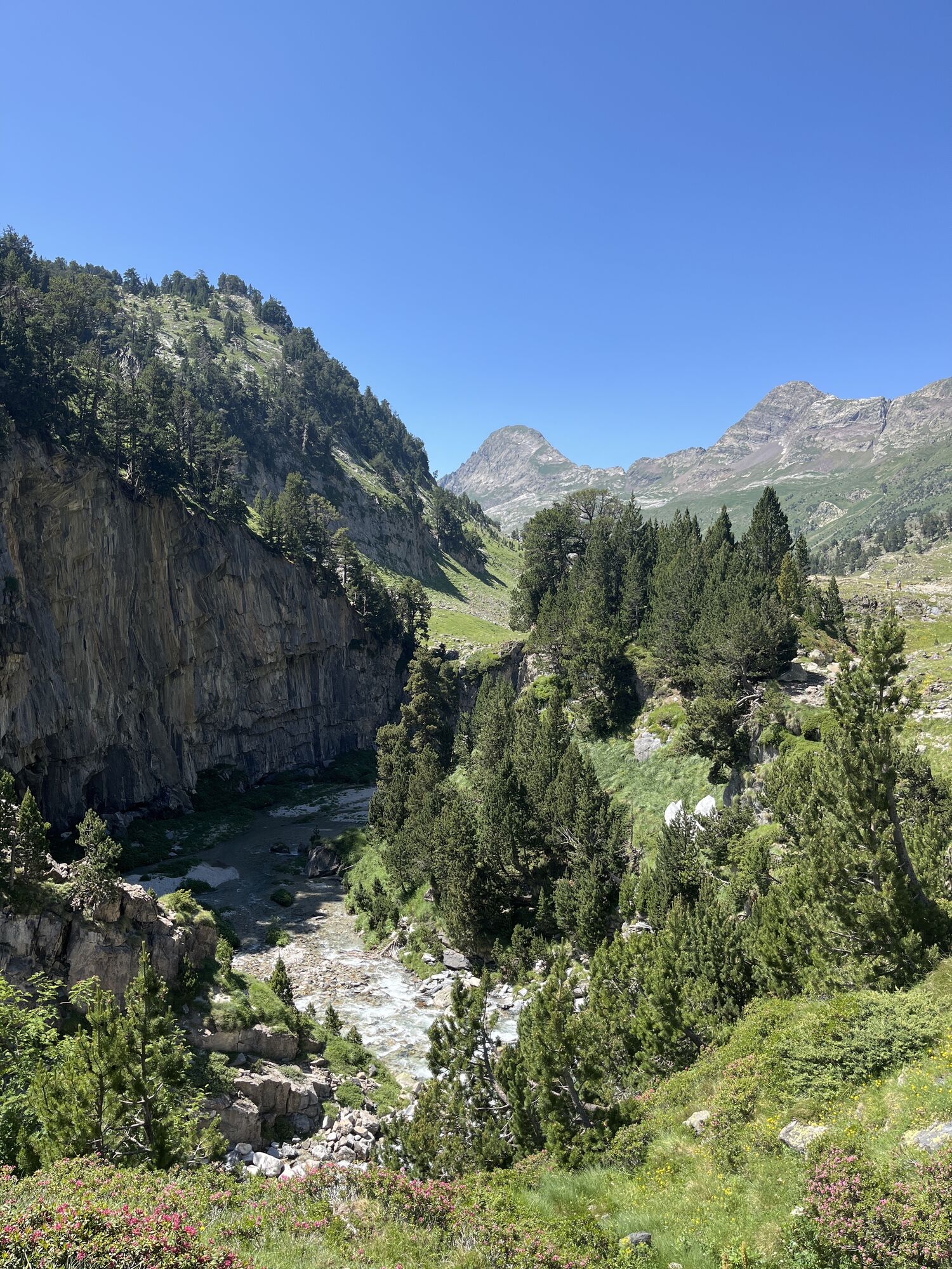
Pico de Aneto
heavy
Navigace na stránkách
Navigace na stránkách
Pořiďte si tuto prohlídku do mobilního telefonu
Pico de Aneto
heavy
Turistika
16.34
km
Naskenujte QR kód a spusťte navigaci v aplikaci bergfex.

Pěší turistika a stopování


Pico de Aneto
heavy
Vzdálenost
16.34
km
Doba trvání
06:55
h
Ascent
1508
hm
Hladina moře
1896 -
3381
m
Stažení skladby
Pico de Aneto
heavy
Turistika
16.34
km
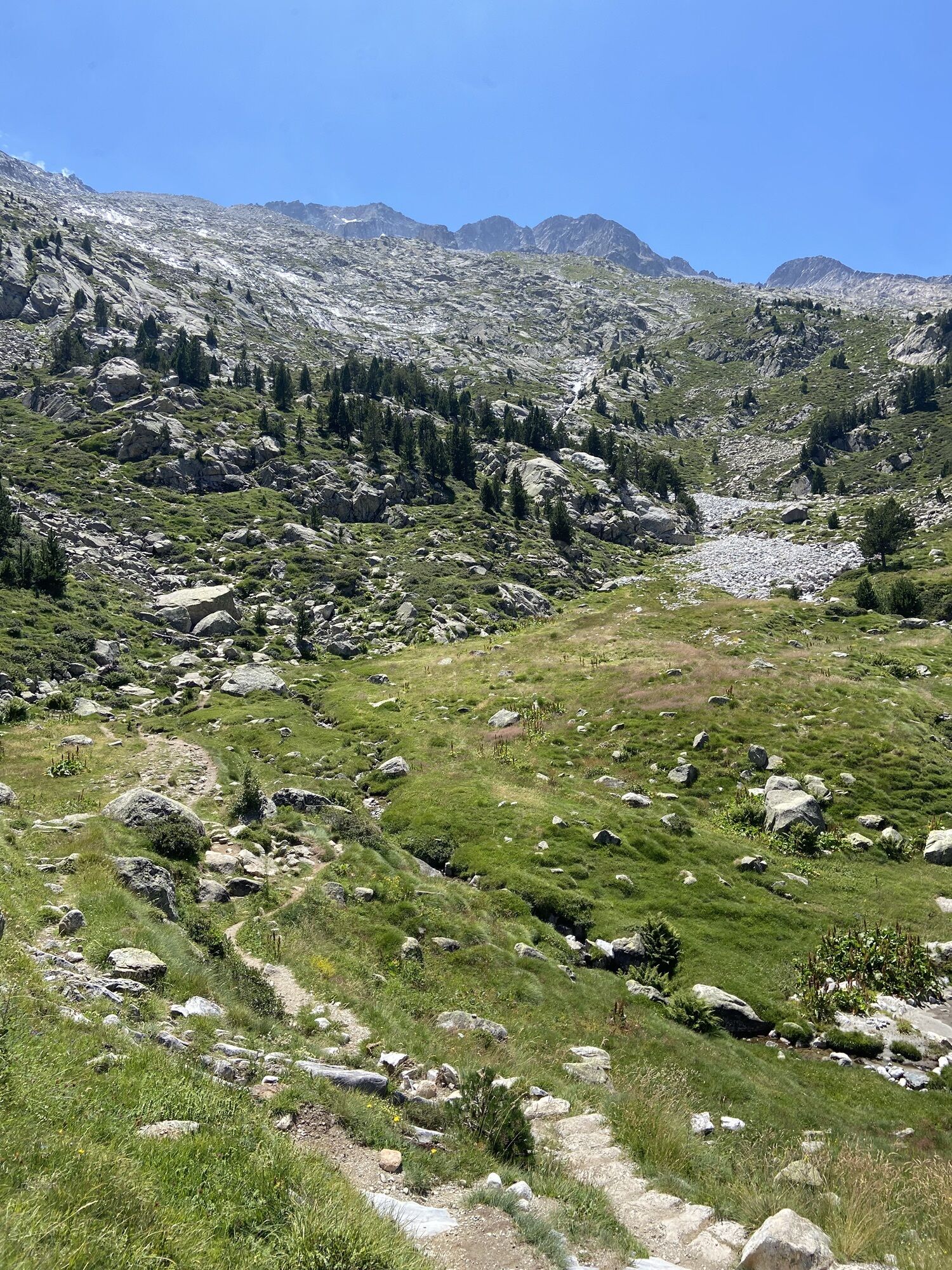
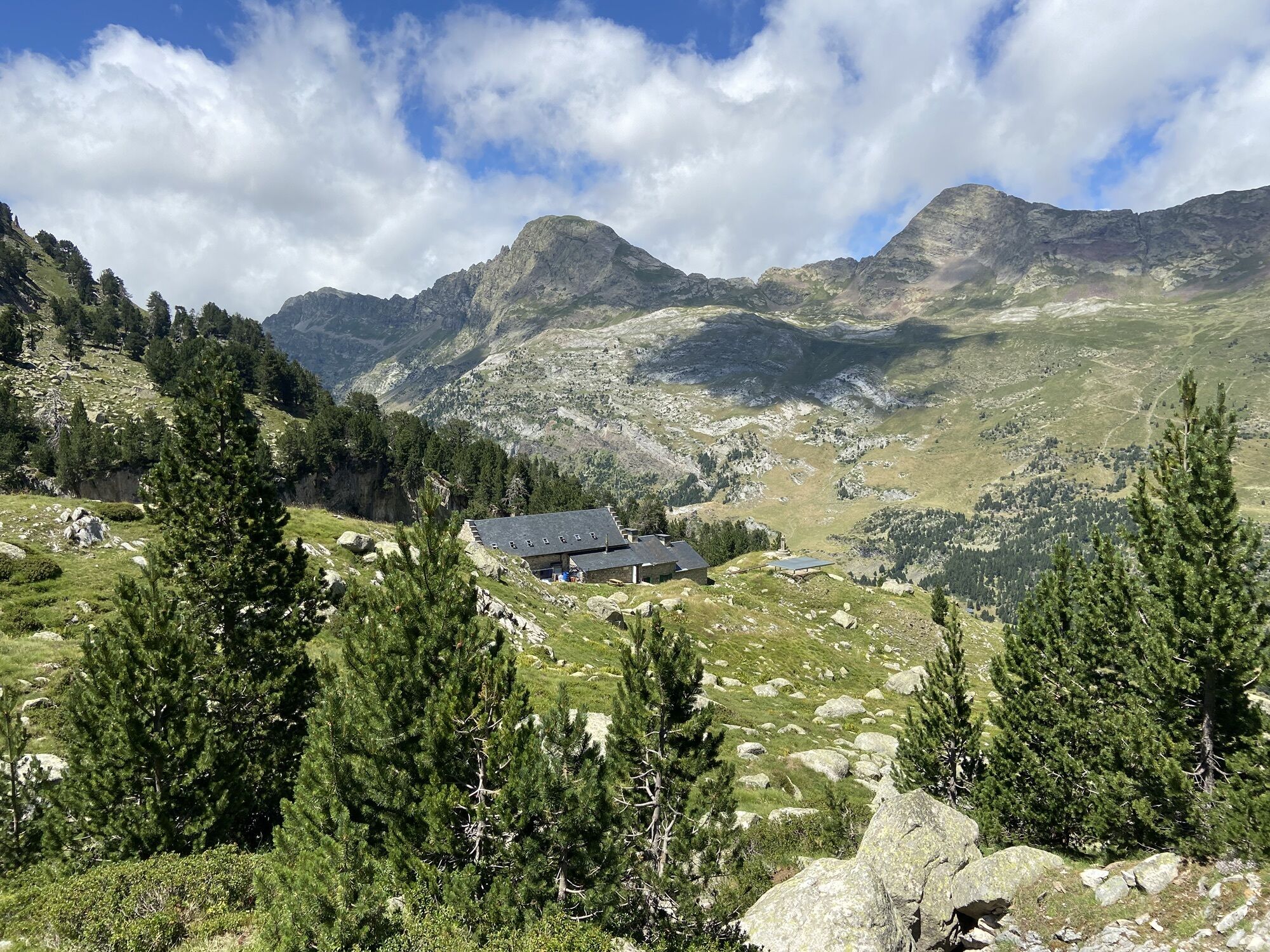
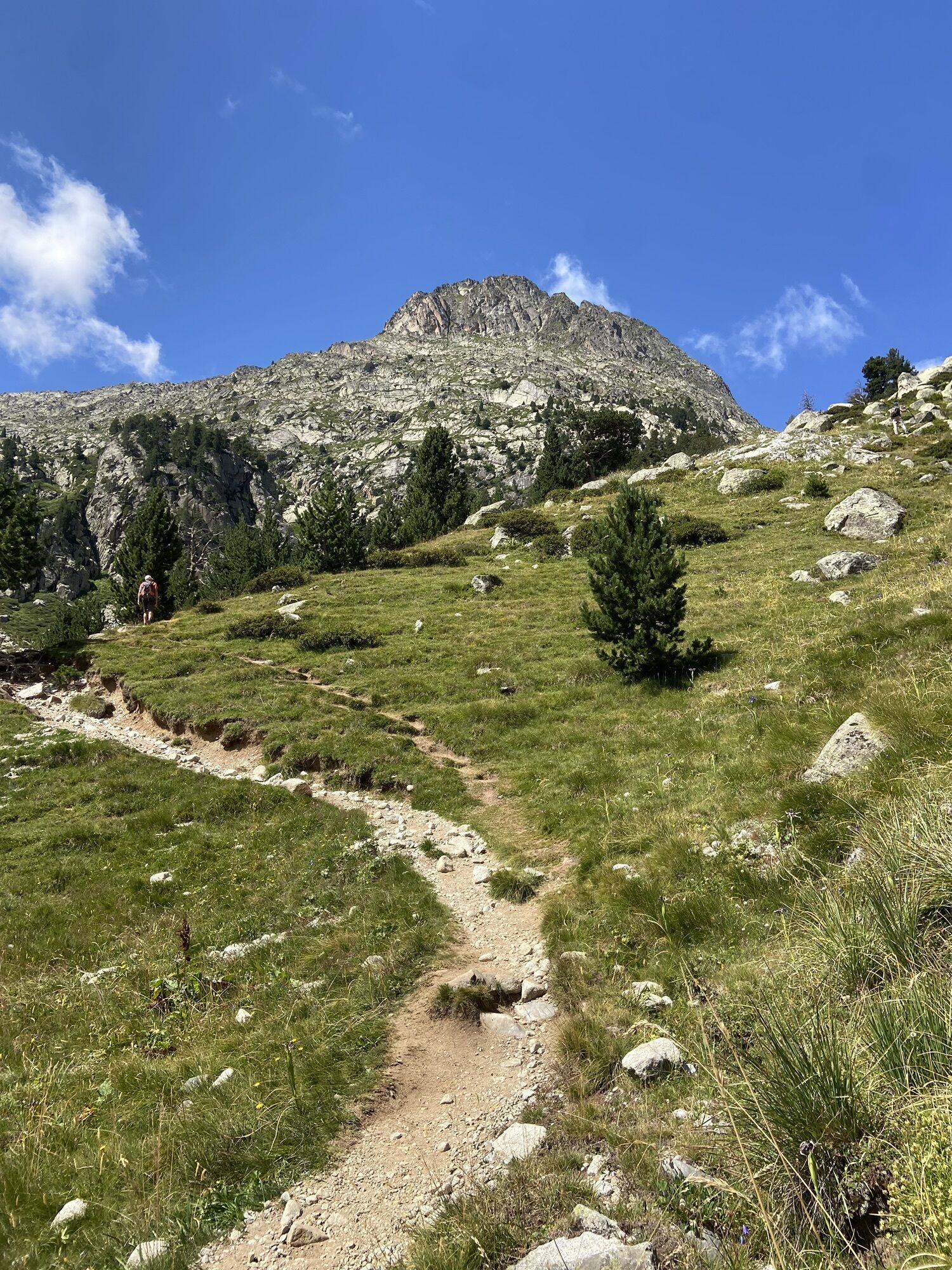
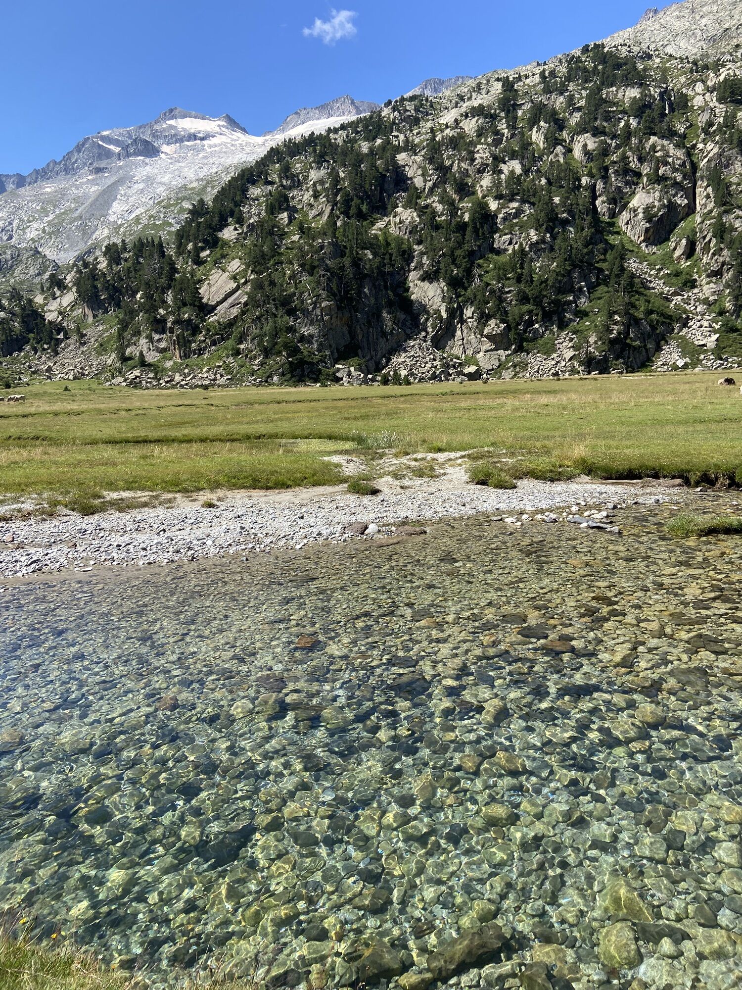
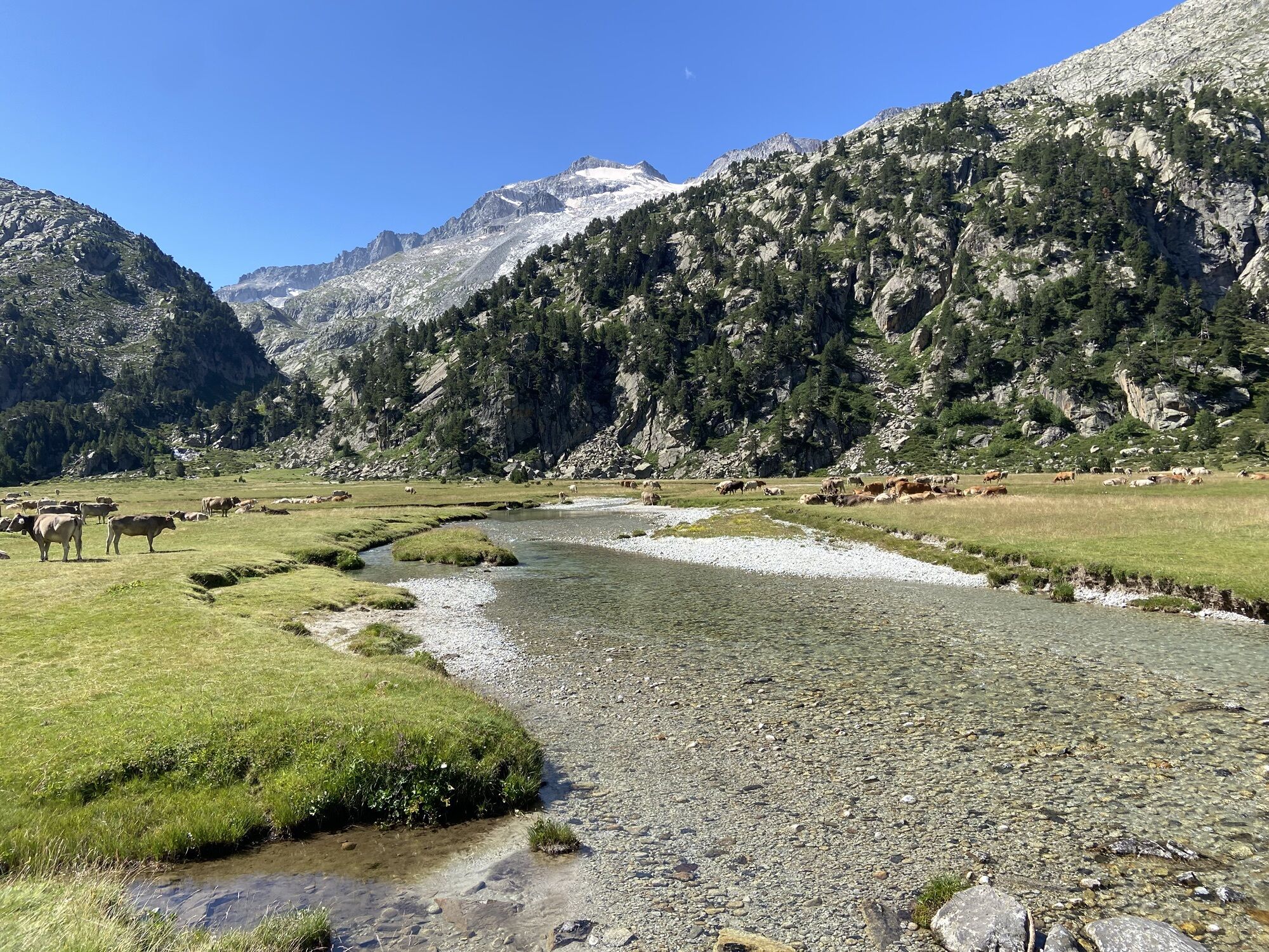
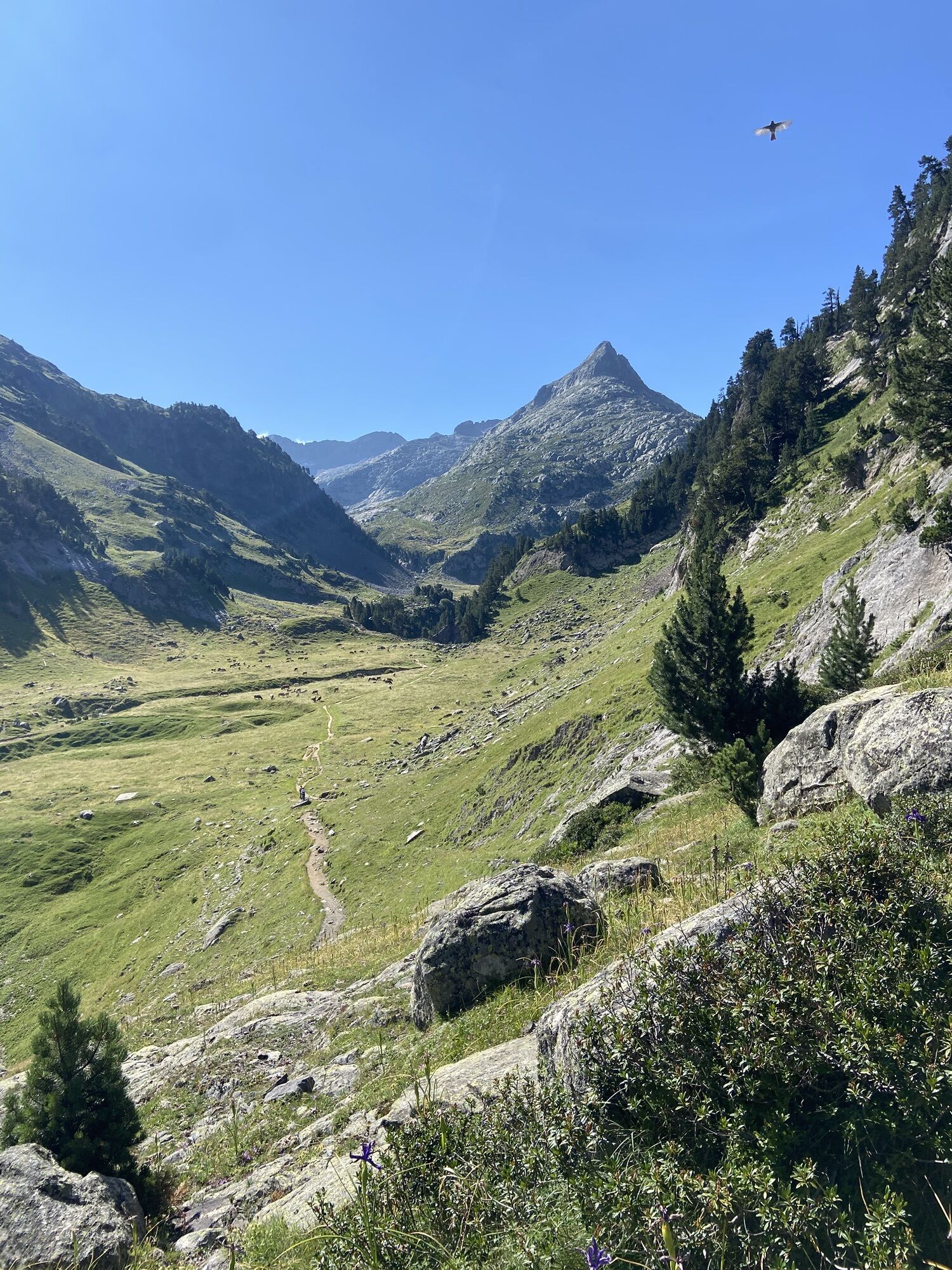
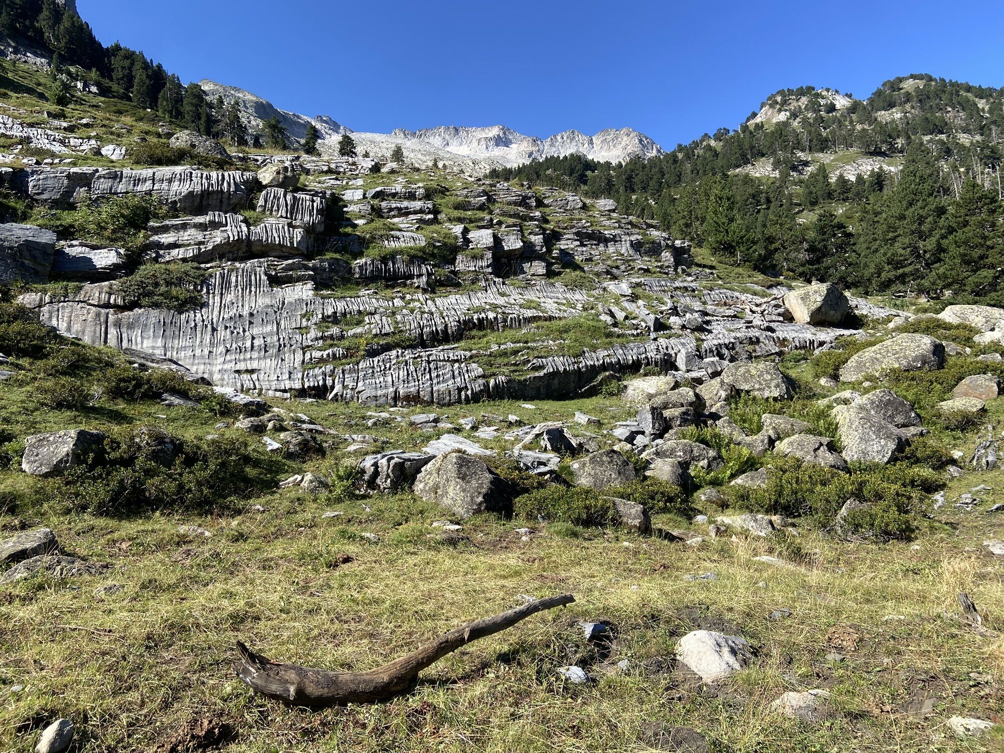
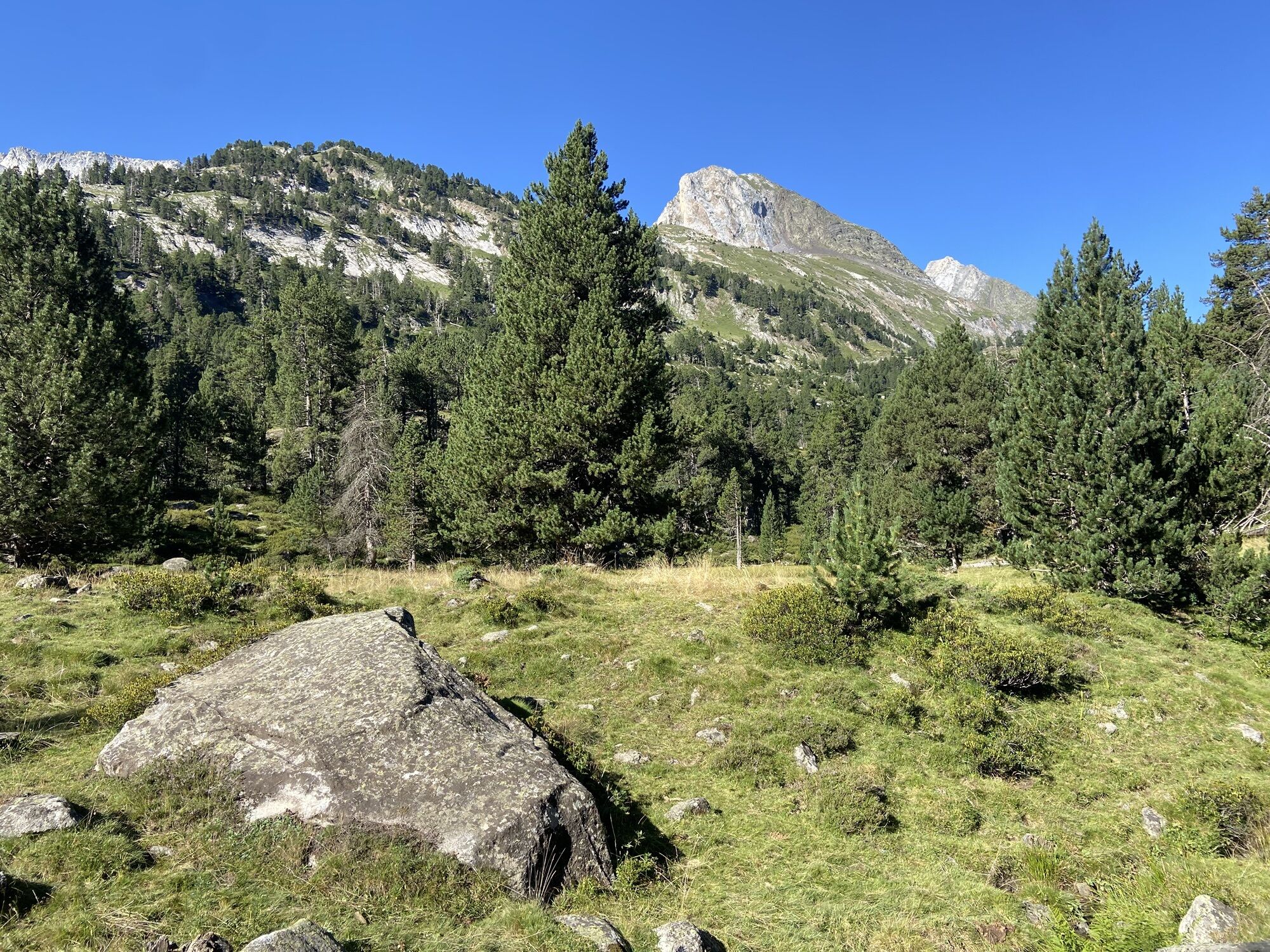
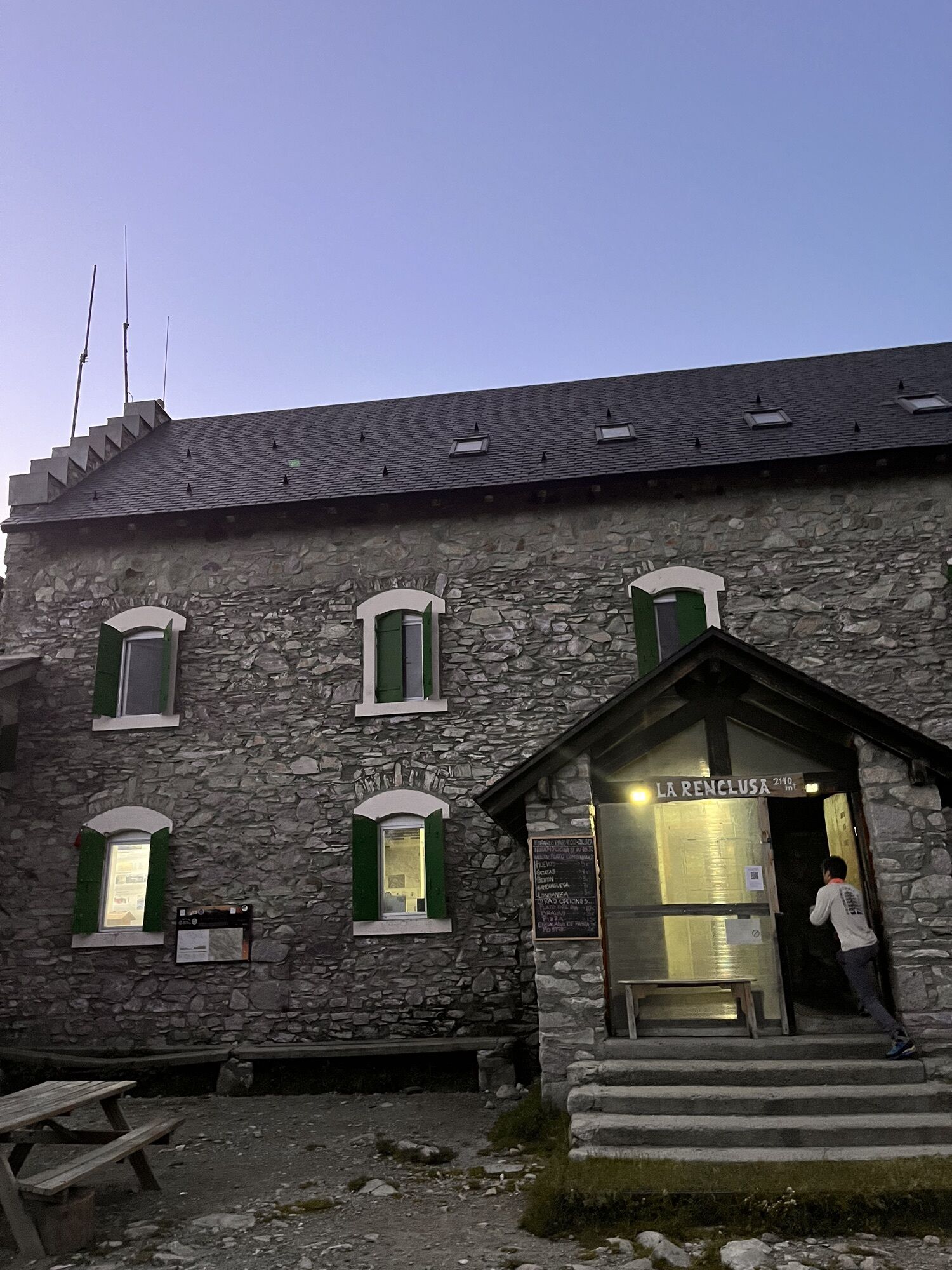
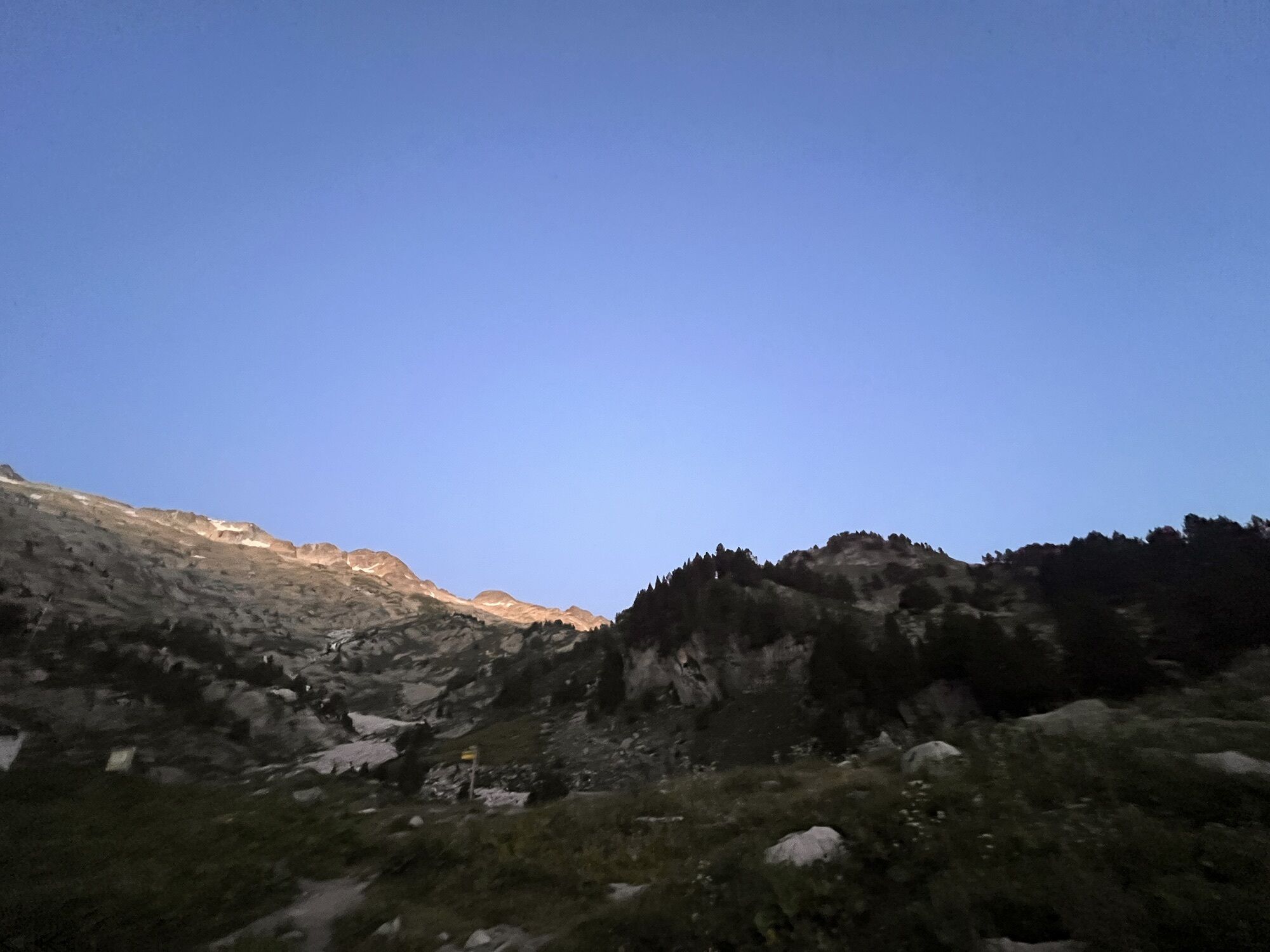
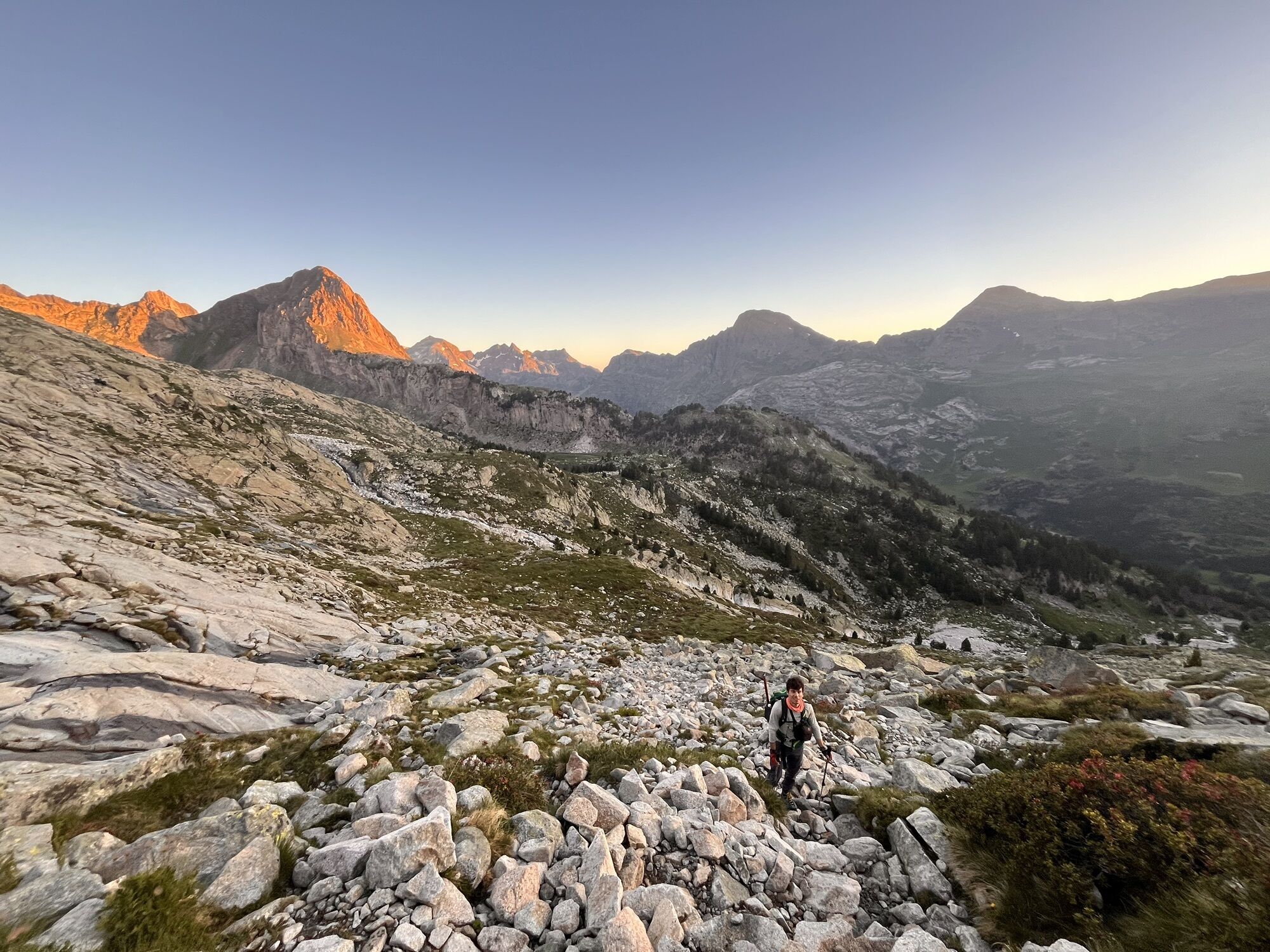
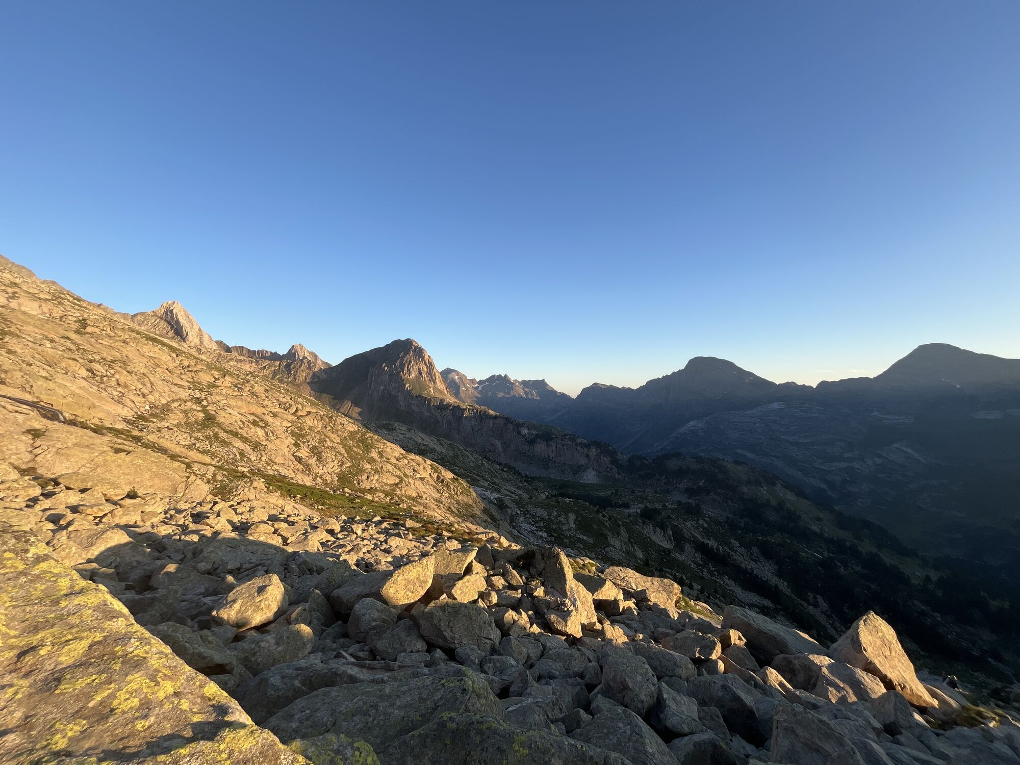
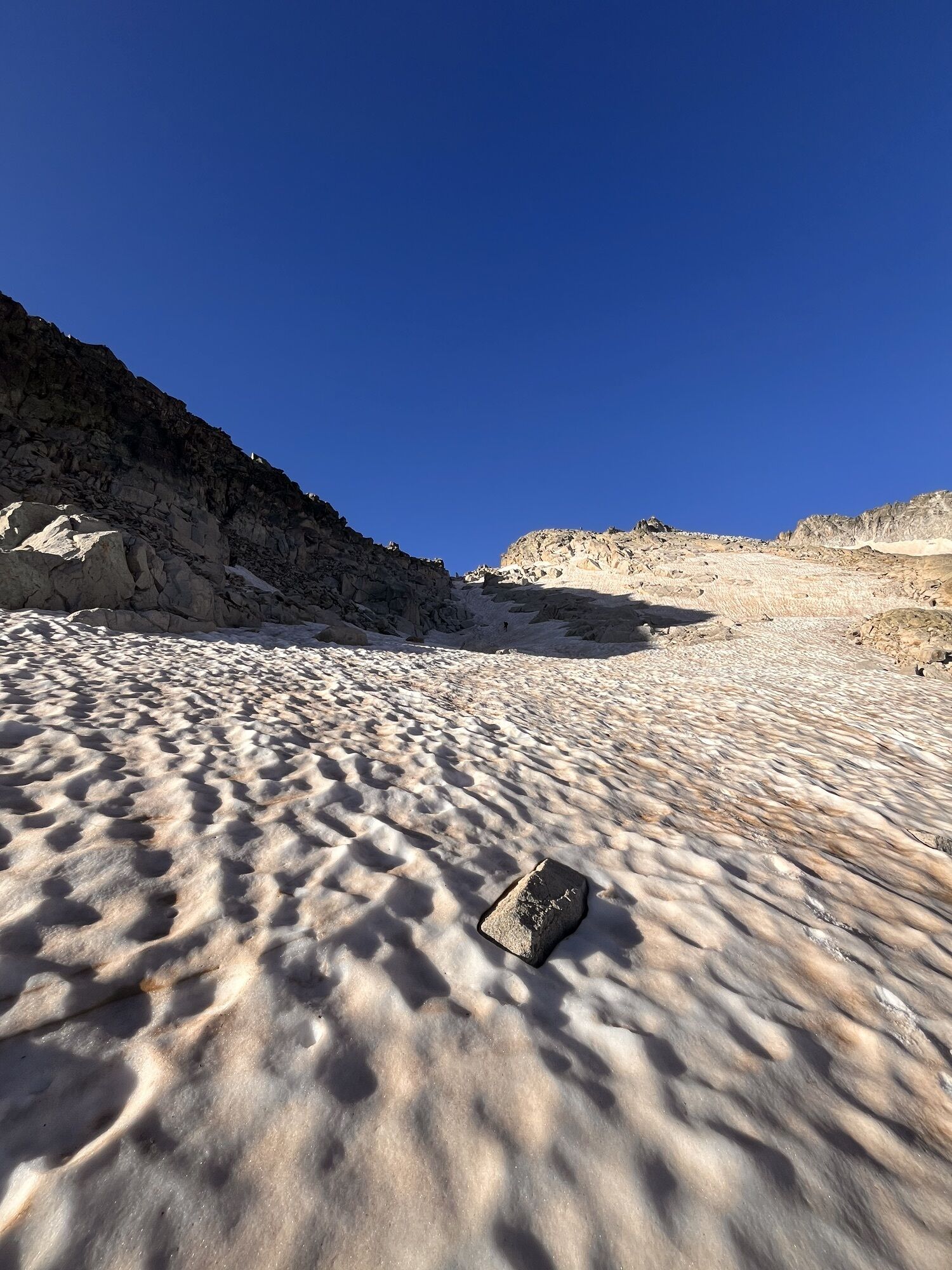
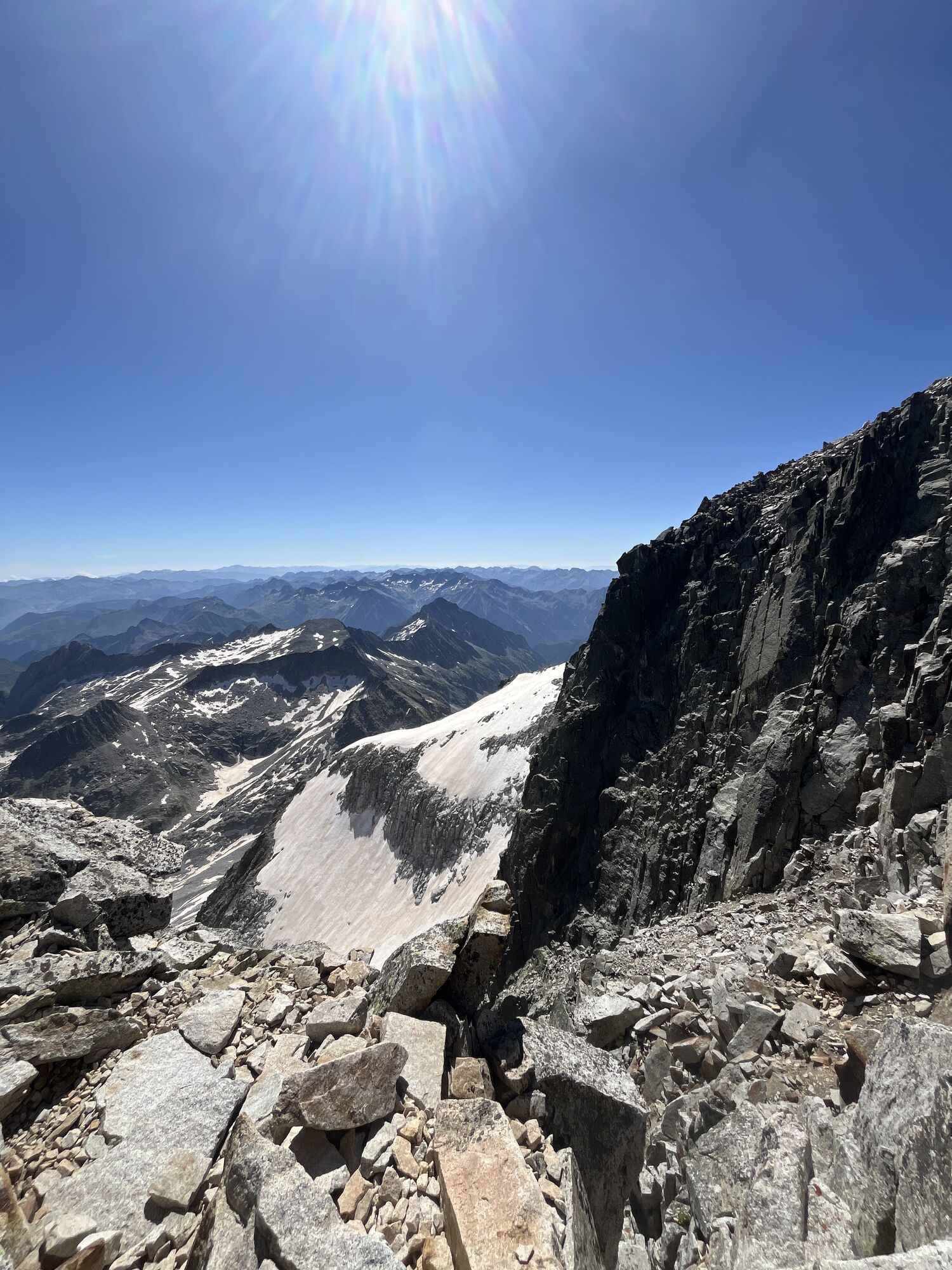
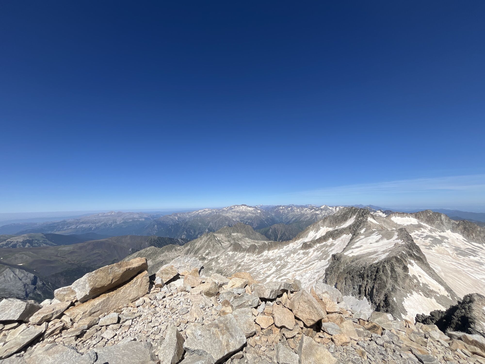
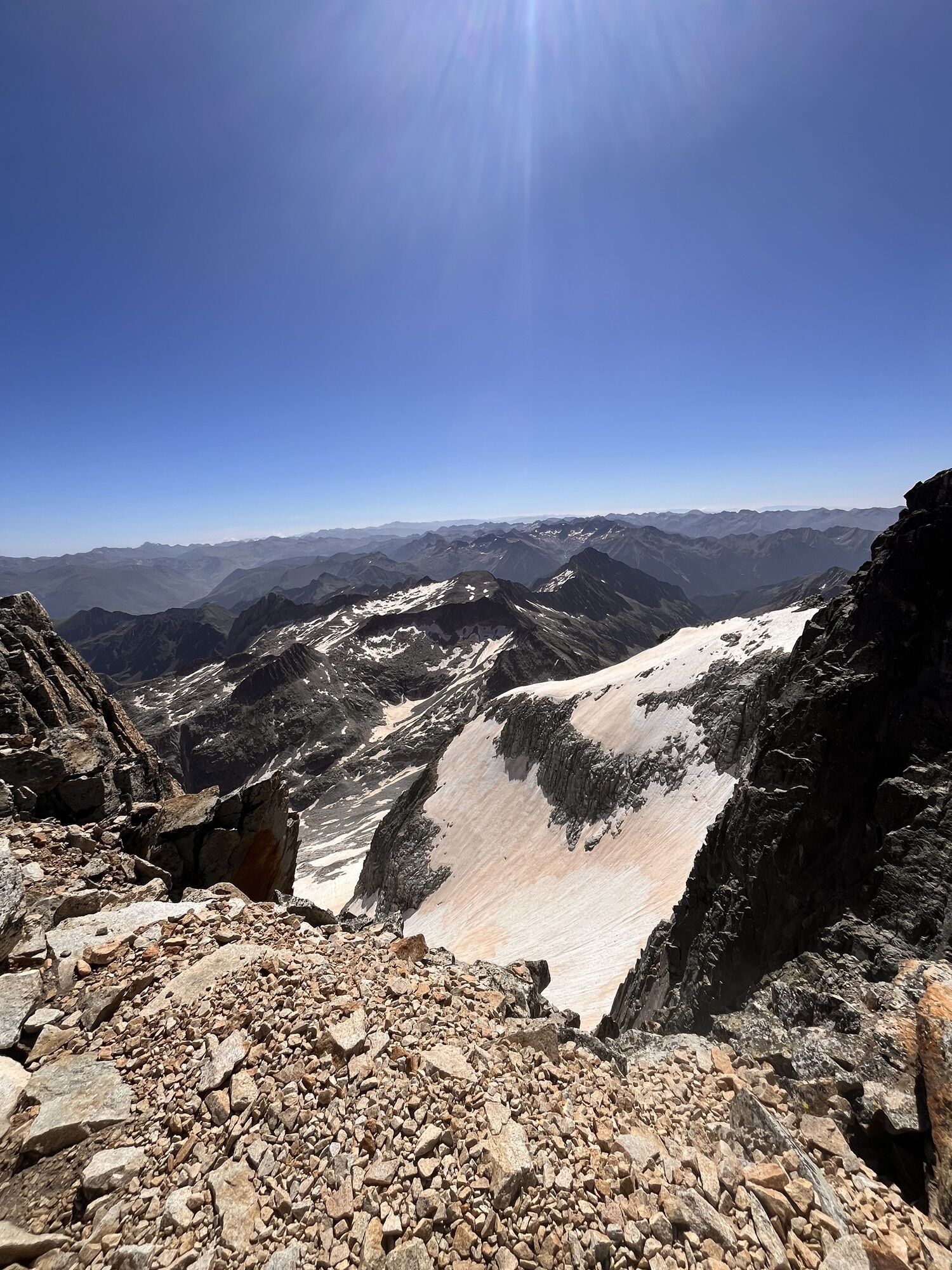
Fotografie našich uživatelů
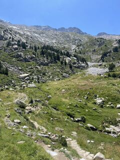
 © Gisela WalzVytvořeno dne 30.07.2025
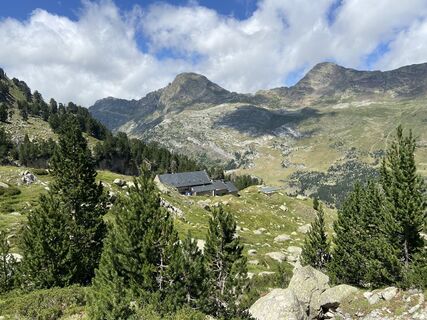 © Gisela WalzVytvořeno dne 30.07.2025
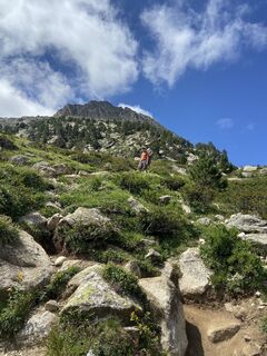 © Gisela WalzVytvořeno dne 30.07.2025
 © Gisela WalzVytvořeno dne 30.07.2025
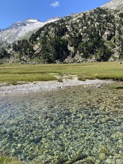 © Gisela WalzVytvořeno dne 30.07.2025
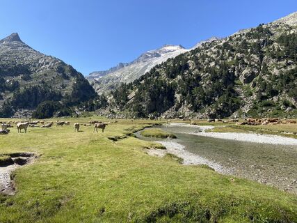 © Gisela WalzVytvořeno dne 30.07.2025
 © Gisela WalzVytvořeno dne 30.07.2025
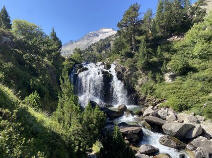 © Gisela WalzVytvořeno dne 30.07.2025
 © Gisela WalzVytvořeno dne 30.07.2025
 © Gisela WalzVytvořeno dne 30.07.2025
 © Gisela WalzVytvořeno dne 30.07.2025
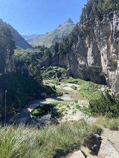 © Gisela WalzVytvořeno dne 30.07.2025
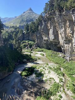 © Gisela WalzVytvořeno dne 30.07.2025
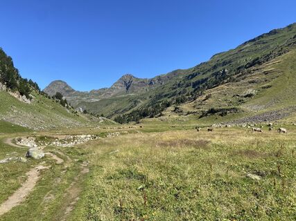 © Gisela WalzVytvořeno dne 30.07.2025
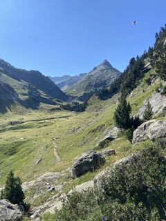 © Gisela WalzVytvořeno dne 30.07.2025
 © Gisela WalzVytvořeno dne 30.07.2025
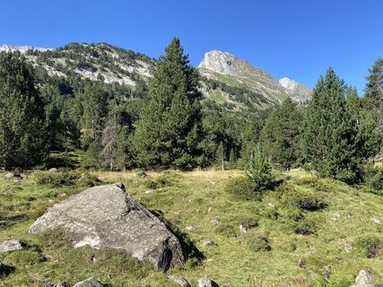 © Gisela WalzVytvořeno dne 30.07.2025


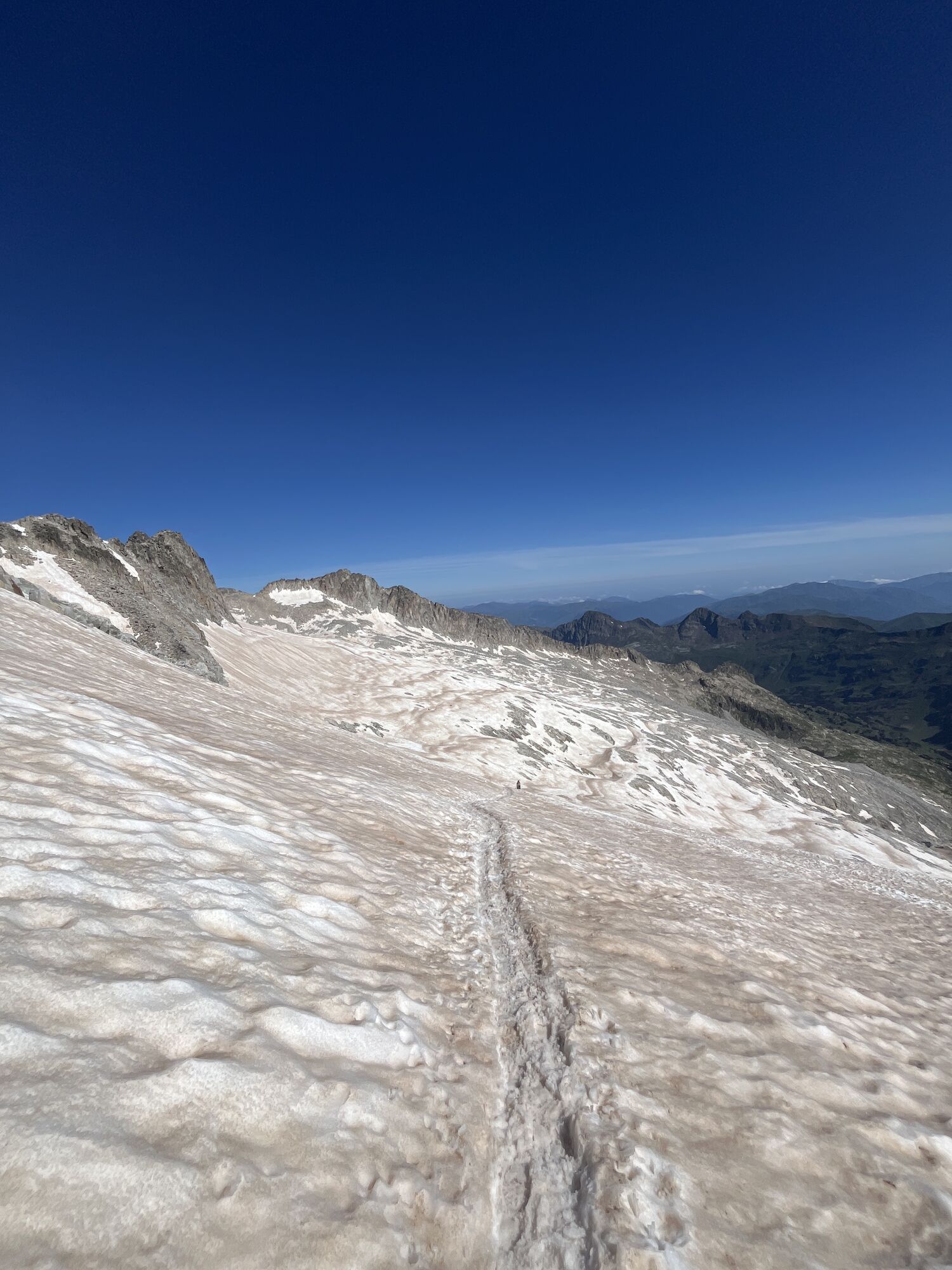
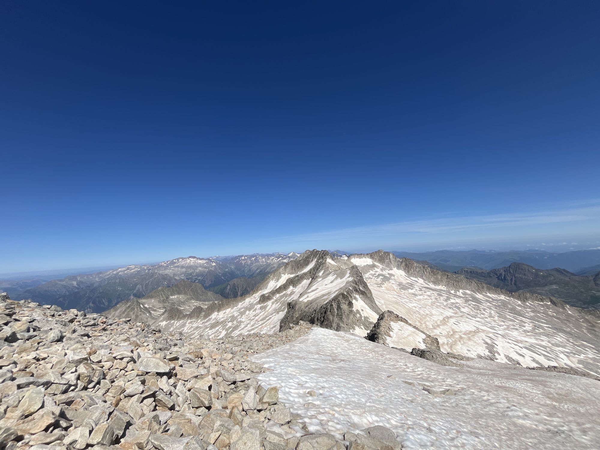
Trasa
Renclusa Refuge
(2142 m)
Úkryt
1.8 km
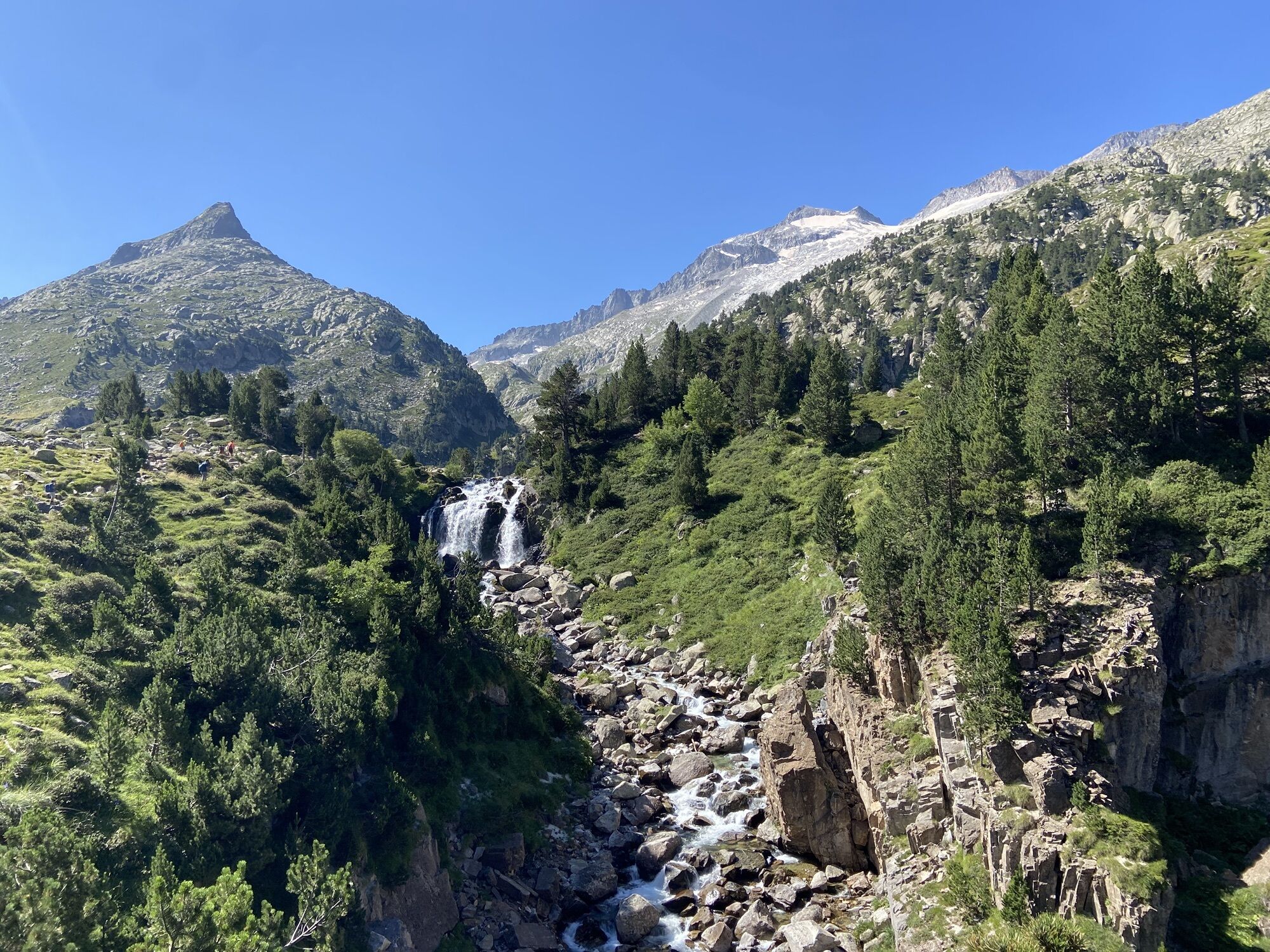
Crencha de los Portillones
(2651 m)
Koridor/terén
3.5 km
Portillón Superior
(2899 m)
Horské sedlo
4.4 km
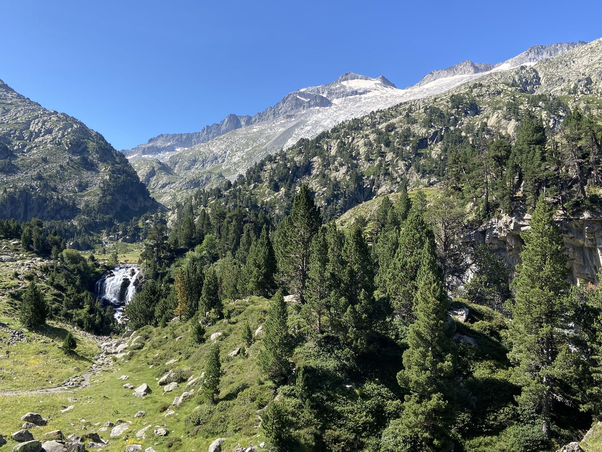
Aneto
(3404 m)
Summit
7.5 km
Puente de Mahoma
(3390 m)
Koridor/terén
7.6 km
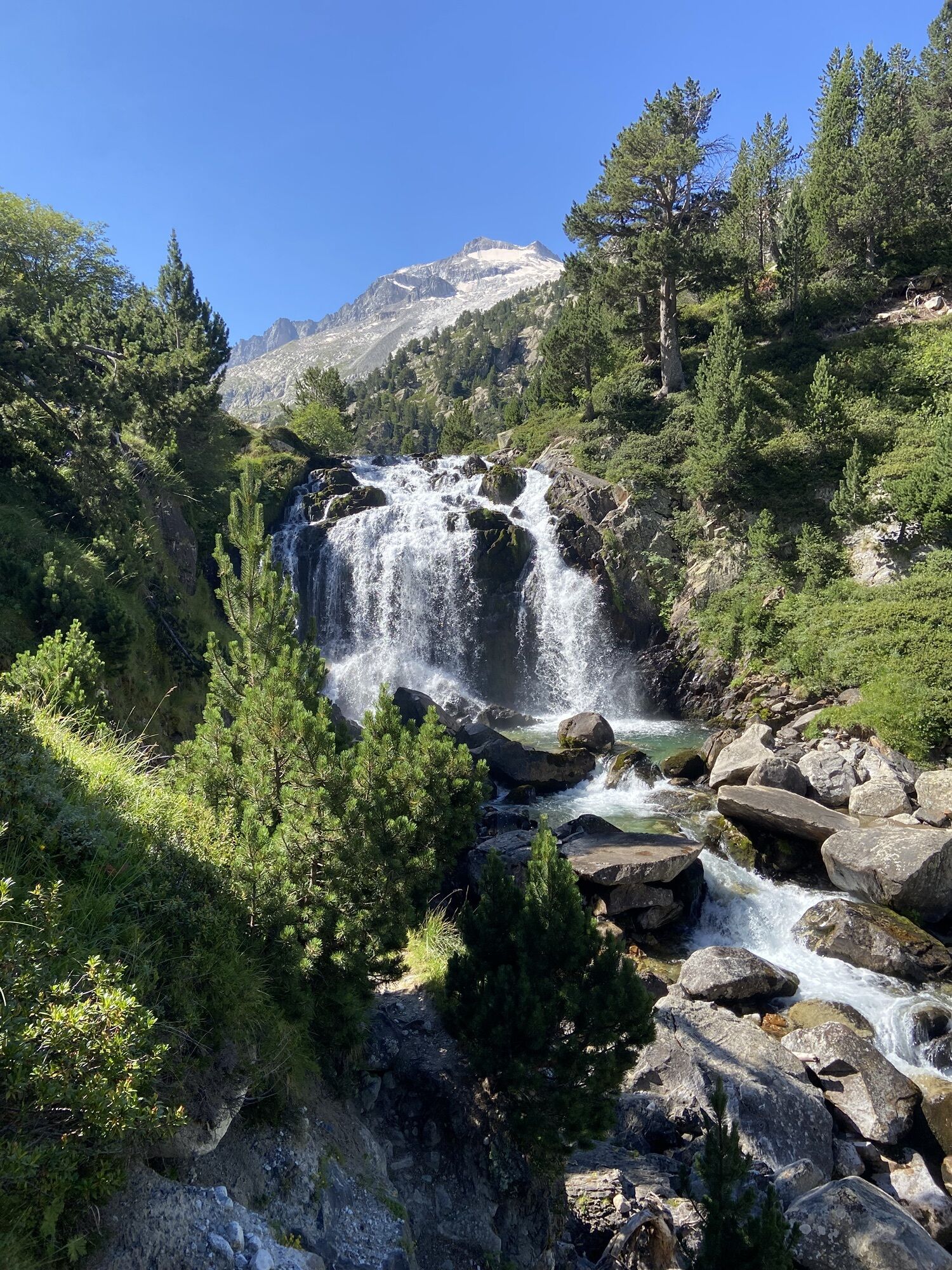
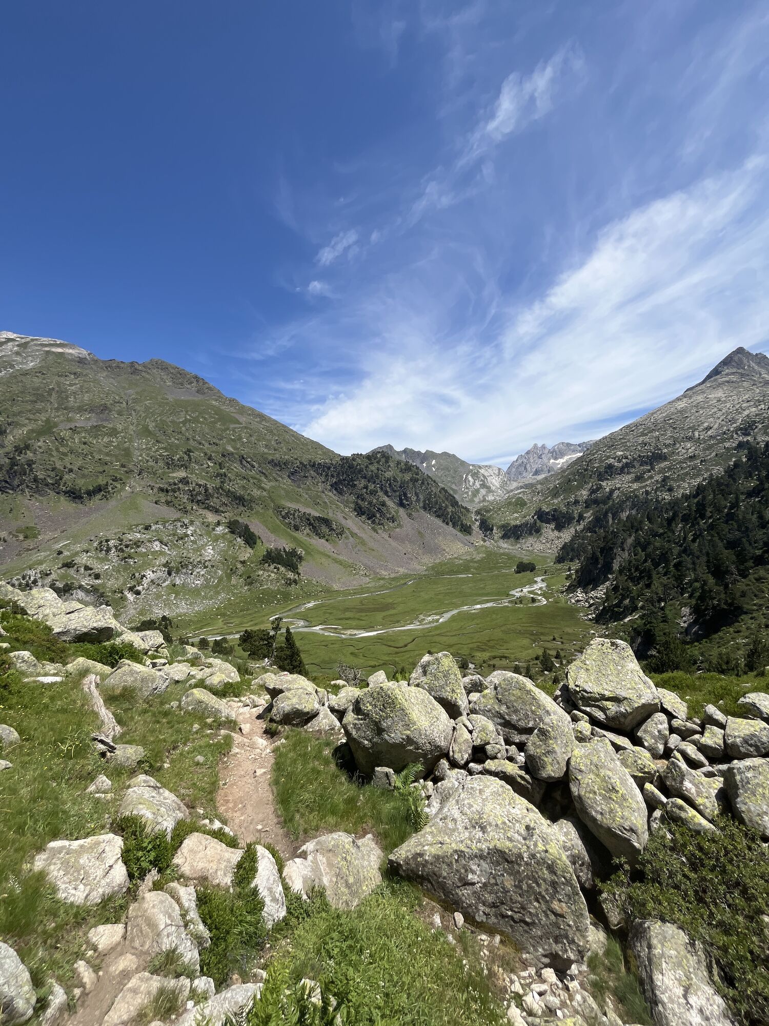
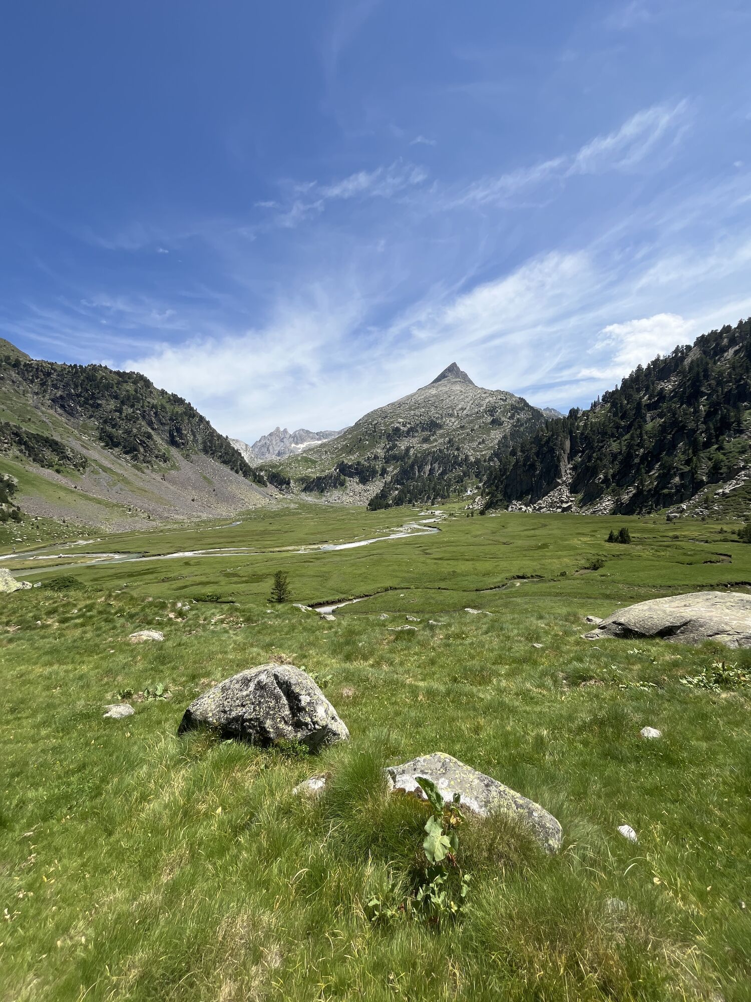
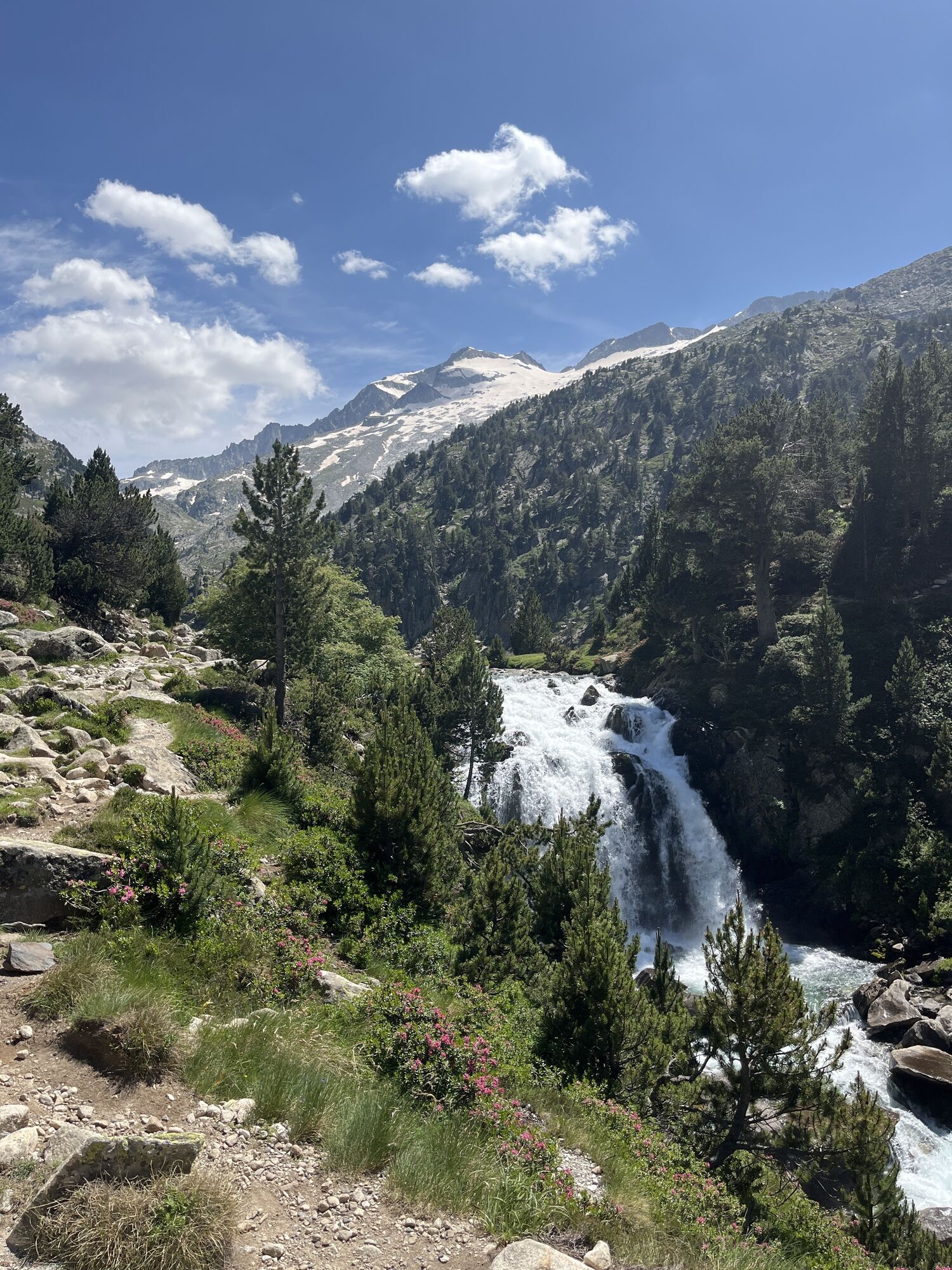
Cascada de Aigualluts
(2028 m)
Vodopád
13.9 km
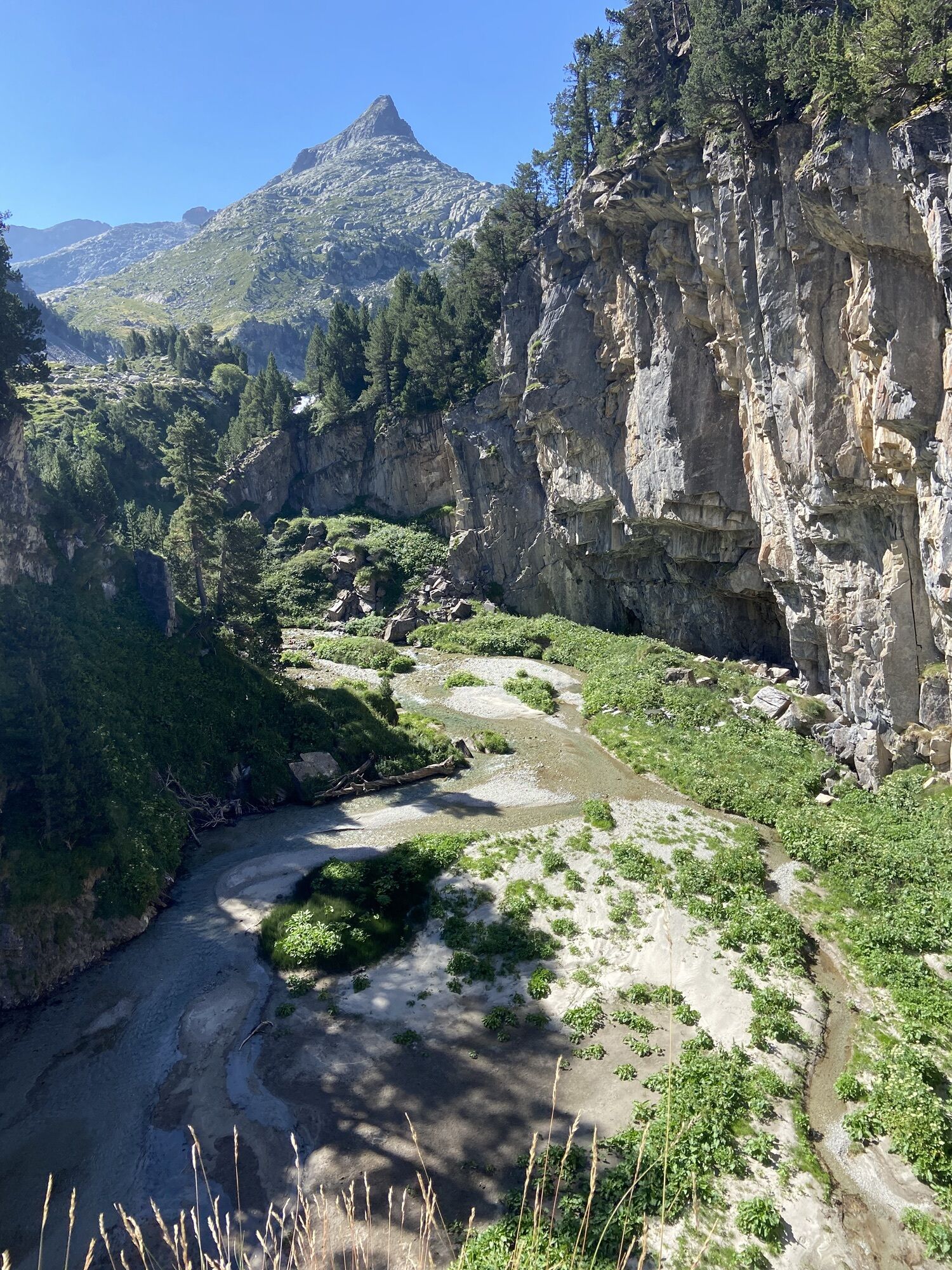
Turó de la Pleta de la Renclusa
(2035 m)
Hill
15.2 km
Trasa
Pico de Aneto
heavy
Turistika
16.34
km
Renclusa Refuge
(2142 m)
Úkryt
1.8 km
Crencha de los Portillones
(2651 m)
Koridor/terén
3.5 km
Portillón Superior
(2899 m)
Horské sedlo
4.4 km
Aneto
(3404 m)
Summit
7.5 km
Puente de Mahoma
(3390 m)
Koridor/terén
7.6 km
Cascada de Aigualluts
(2028 m)
Vodopád
13.9 km
Turó de la Pleta de la Renclusa
(2035 m)
Hill
15.2 km

Informace o trase
Trasa
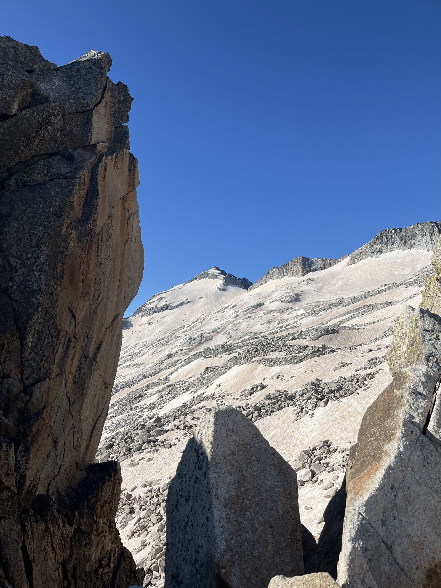
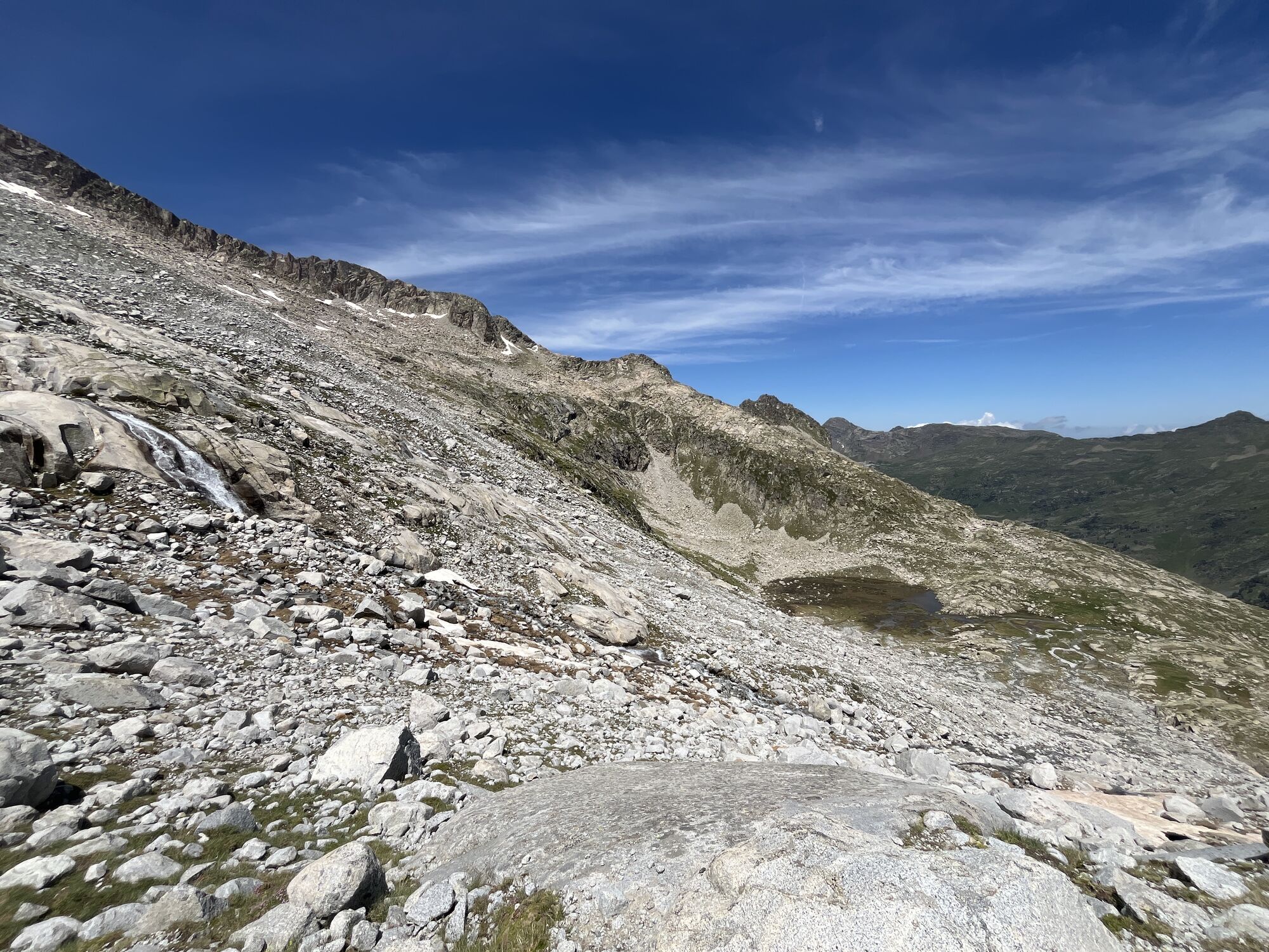
The part before the portillion superieure requires a bit of searching and scrambling, ideally have map and GPS on your phone.
There is a false peak ~20m before the true peak. This very last bit requires a bit of climbing and is very exposed (sharp drop on both sides of ~1.5m broad section).
Vybavení
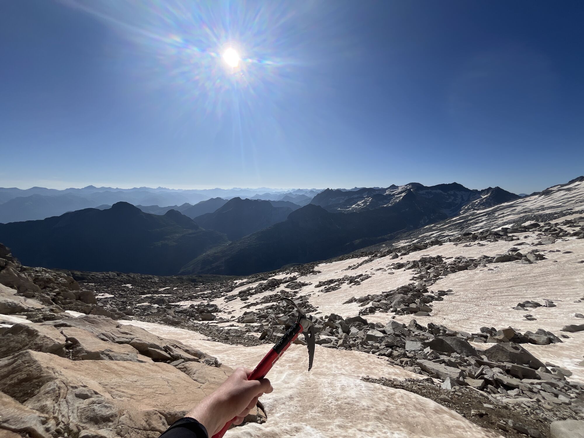
Remember to bring crampons (and ice-axe) for the part on the glacier. Remember head lamp when starting early.
In case of going beyond to the true peak, ideally rope and harness.
Zatím žádné recenze
Oblíbené prohlídky v okolí
X-HRP gpx complet Internet
heavydálková pěší trasa 839.2 km- 4.0
Cabaña del Tormo Benasque, Spanien
středníHorská turistika 13.0 km Vielha-Bassa d'Oles-Montcorbisón
středníHorská turistika 12.9 kmHRP - Alta Ruta Pirenaica
středníTuristika 731.9 kmCircular al Pla de Virgo
světloTuristika 6.26 kmAcceso Antenas y pista Tuca
světloTuristika 2.06 kmHospice de France - Cabane du Pesson - Pas de l'escalette
heavyTuristika 15.2 kmIrun
heavyTuristika 700.7 kmVielha - Sant Pau de Mont - Glèsia de Sant Estèue - Sant Pere de Betlan
Turistika 105.7 kmVielha - Sant Pau de Mont - Sant Pere de Betlan - Era Assumpcion
heavyTuristika 20.9 km
Pěší turistika a stopování

Více než 550.000 návrhů výletů, podrobné mapy a intuitivní plánovač tras dělají z aplikace nezbytnou výbavu pro všechny milovníky přírody.

Nenechte si ujít nabídky a inspiraci pro vaši příští dovolenou
Přihlaste se k odběru newsletteru
Chyba
Došlo k chybě. Zkuste to prosím znovu.Děkujeme za vaši registraci
Vaše e-mailová adresa byl přidán do poštovního seznamu.
Zájezdy po celé Evropě
Rakousko Švýcarsko Německo Itálie Slovenia Francie Nizozemsko Belgie Polsko Lichtenštejnsko Česko Slovensko Španělsko Chorvatsko Bosna a Hercegovina Lucembursko Andorra Portugal Iceland United Kingdom Ireland Greece Albania North Macedonia Malta Norway Montenegro Moldova Kosovo Hungary San Marino Romania Estonia Latvia Belarus Cyprus Lithuania Serbia Bulgaria Monaco Denmark Sweden Finland