


Neckertal Heights Trail Stage 2
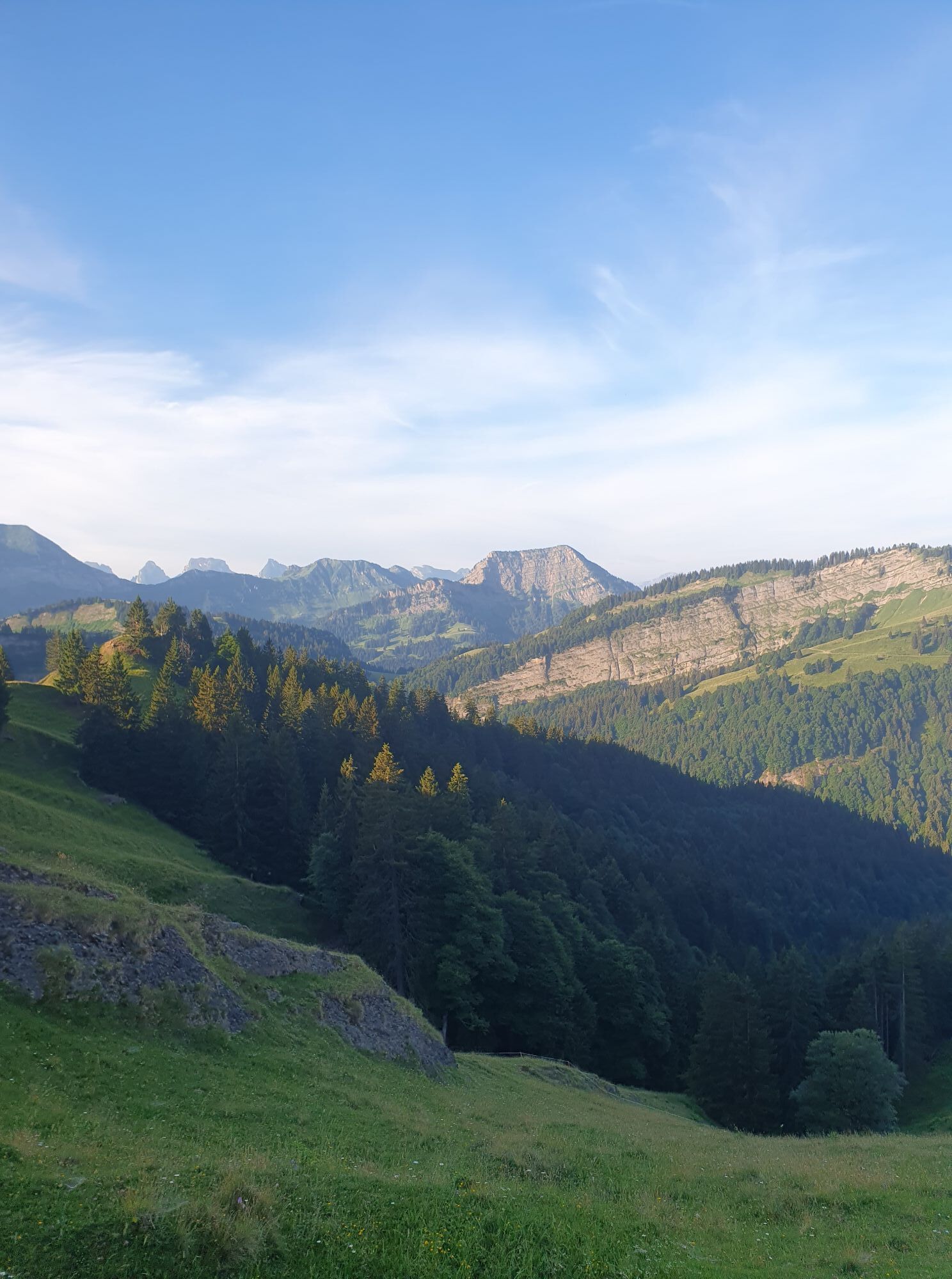
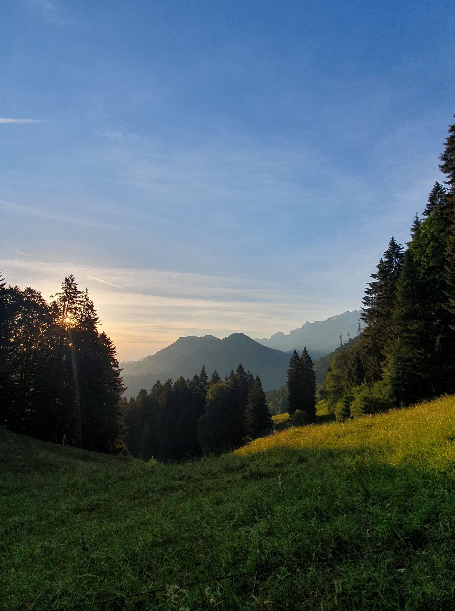
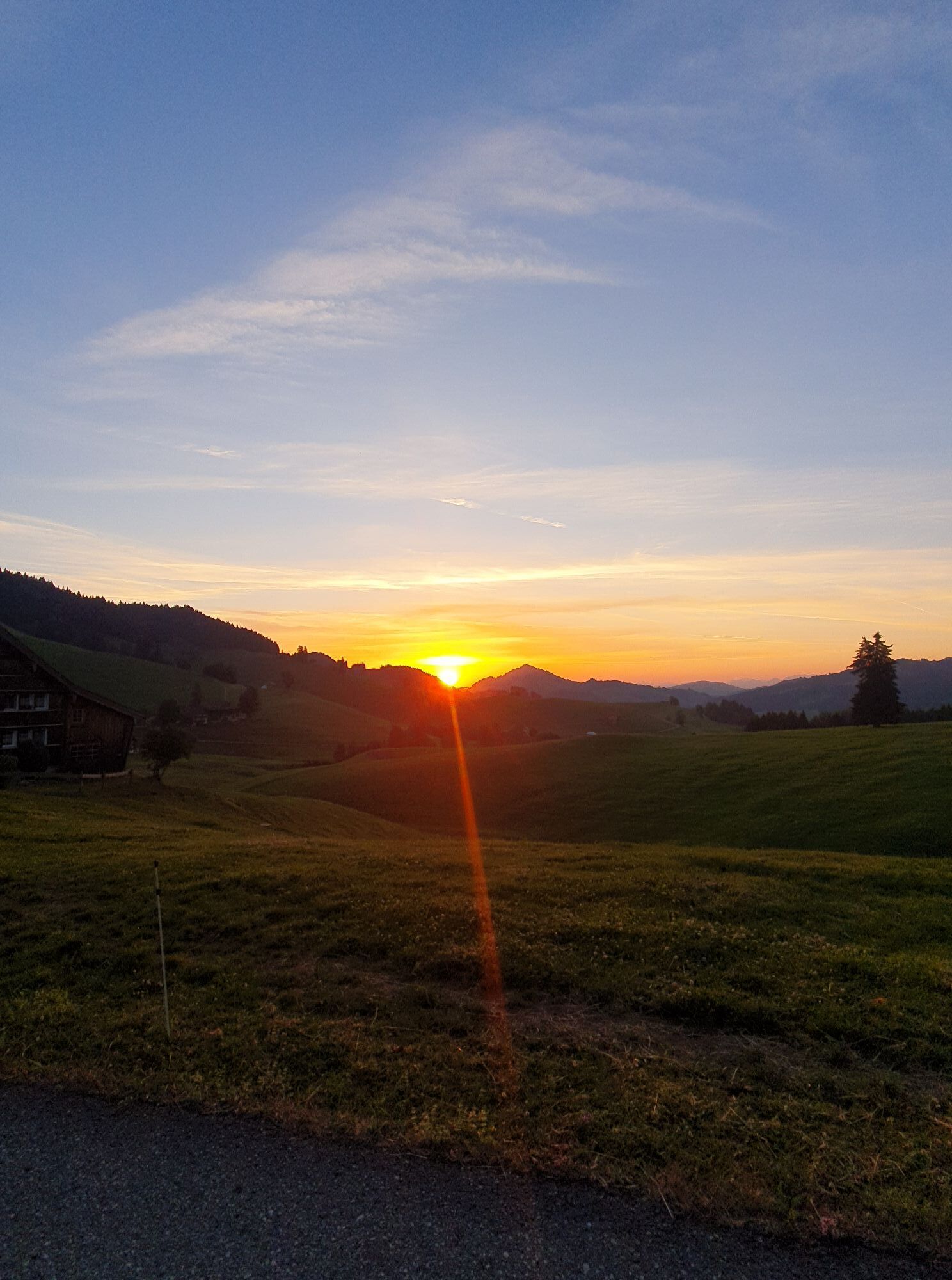
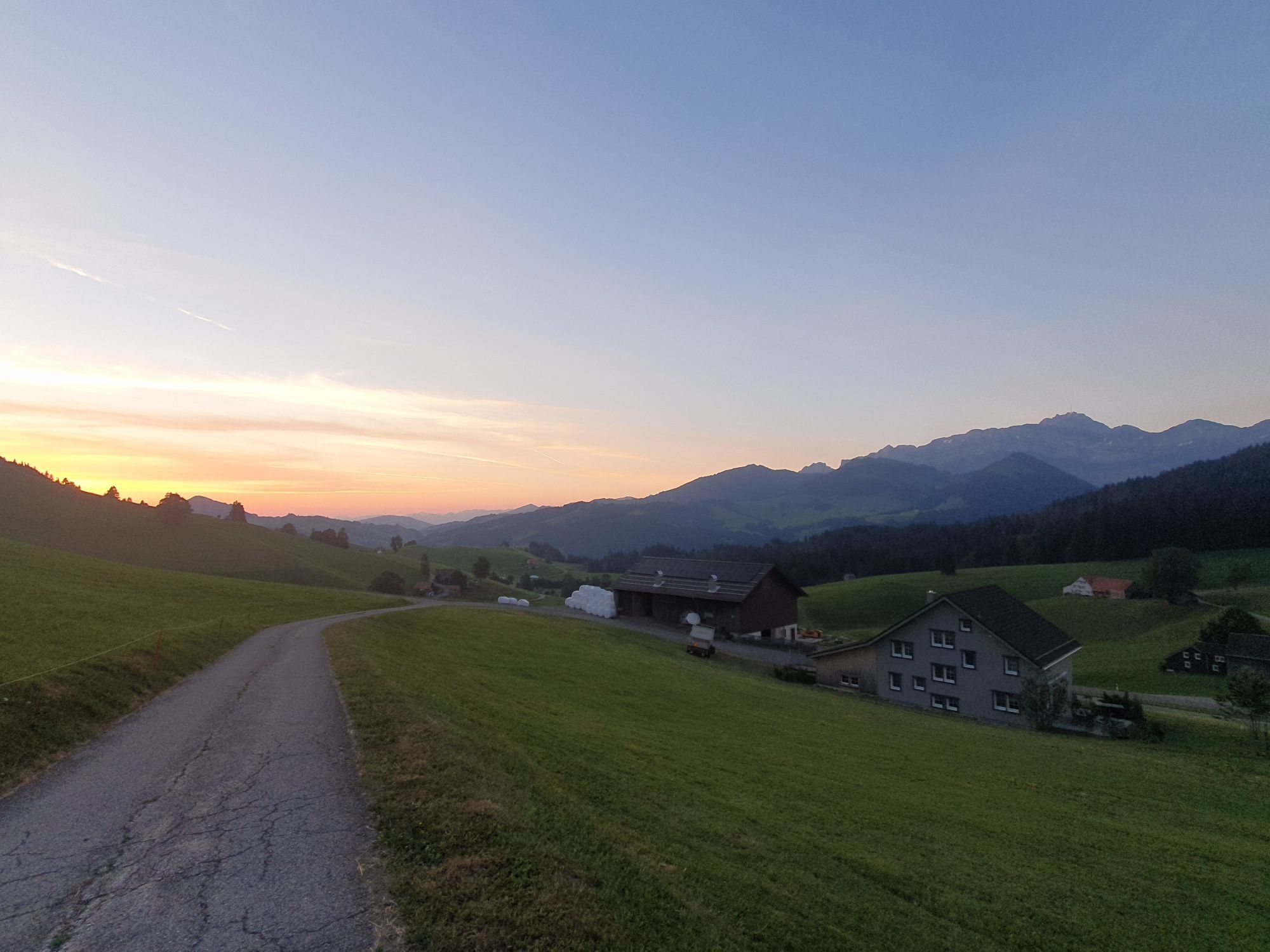
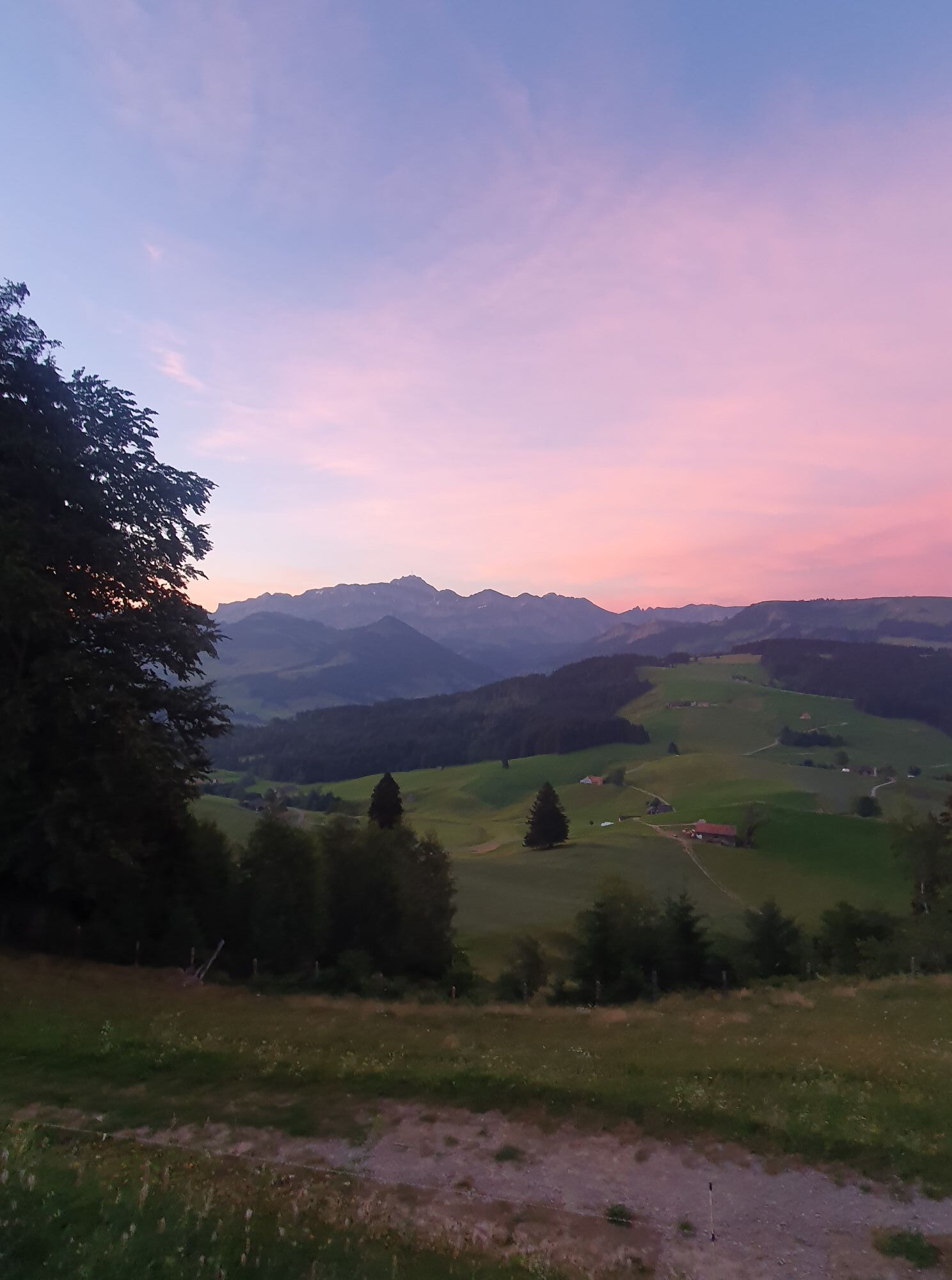
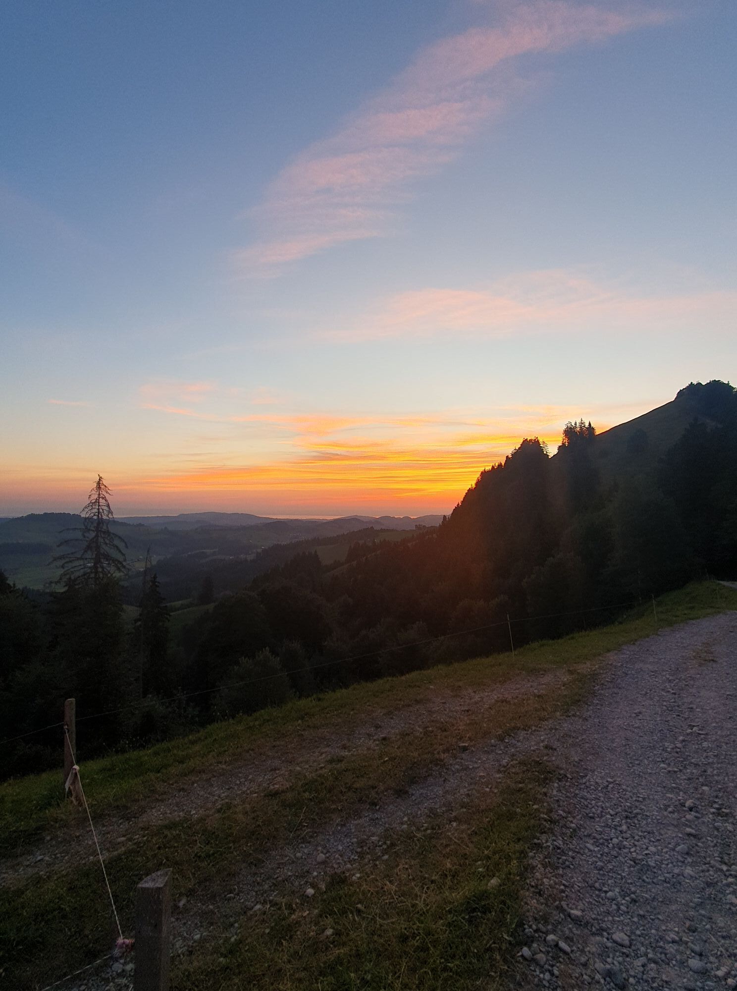
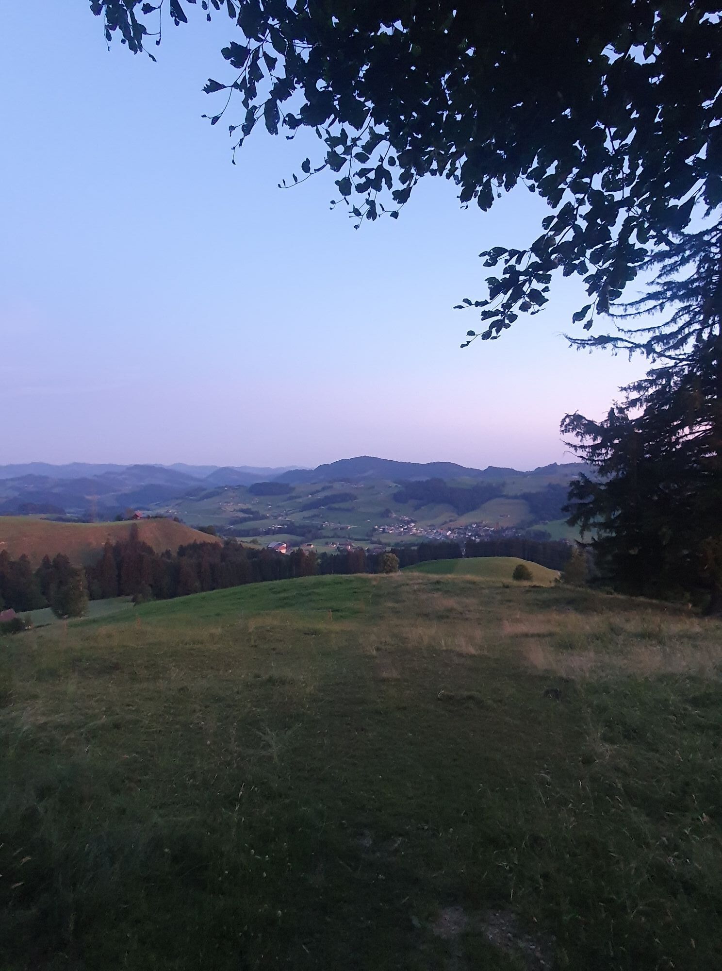
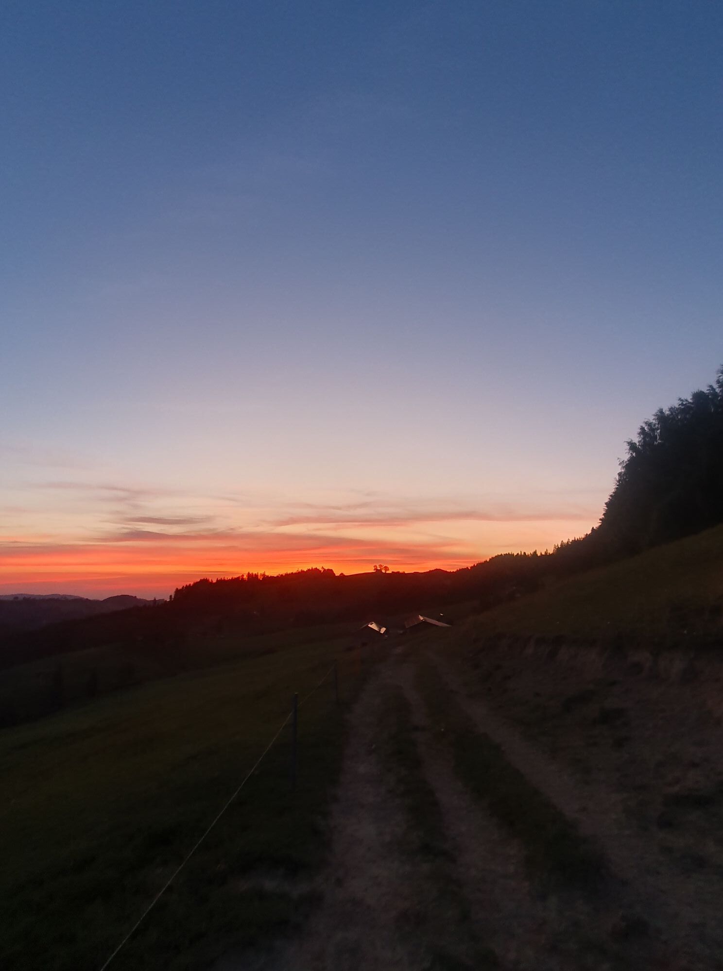
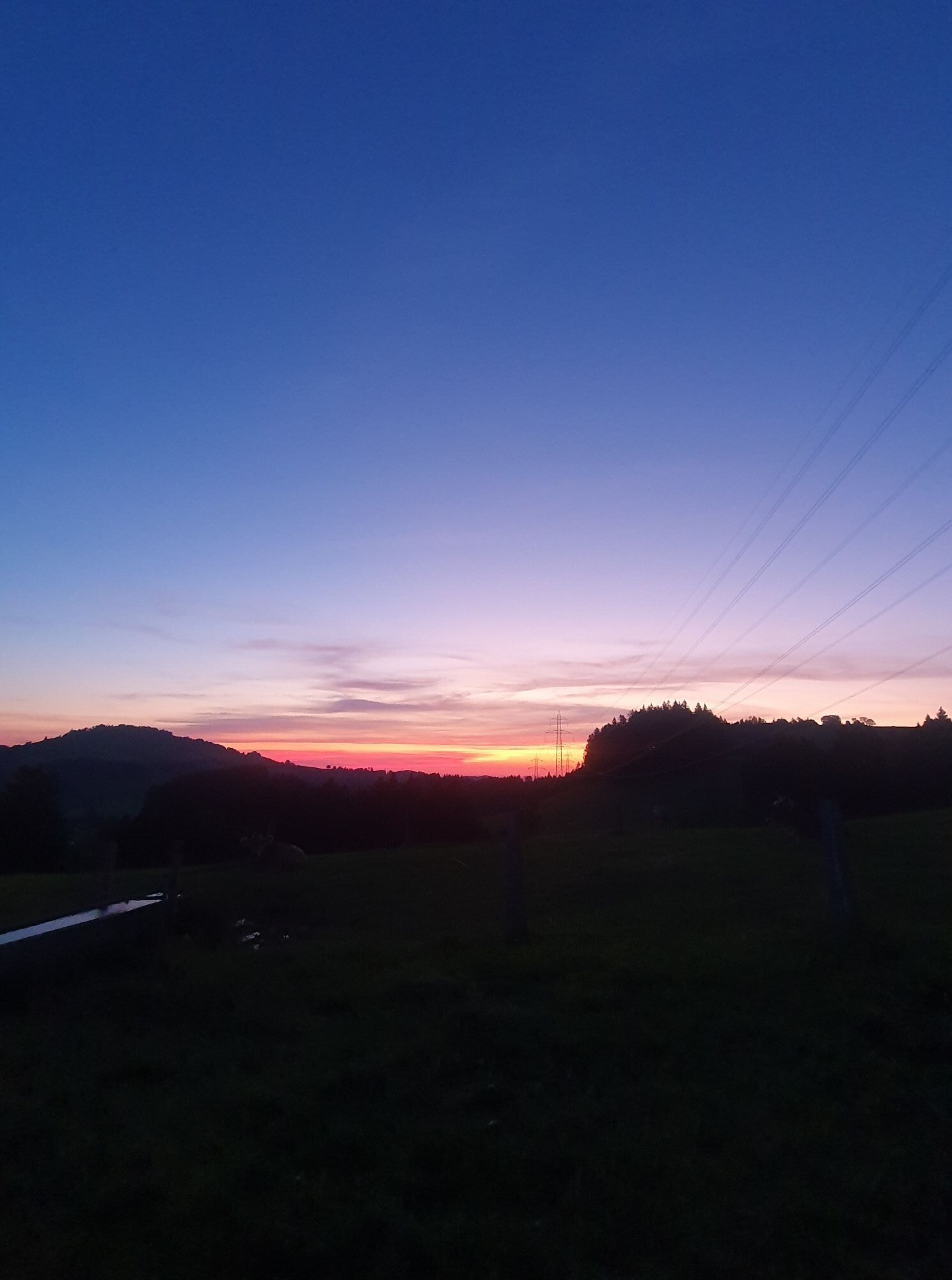
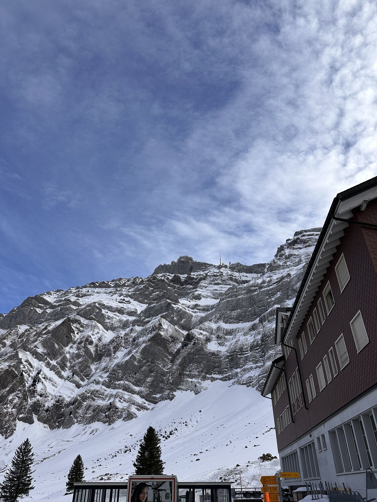

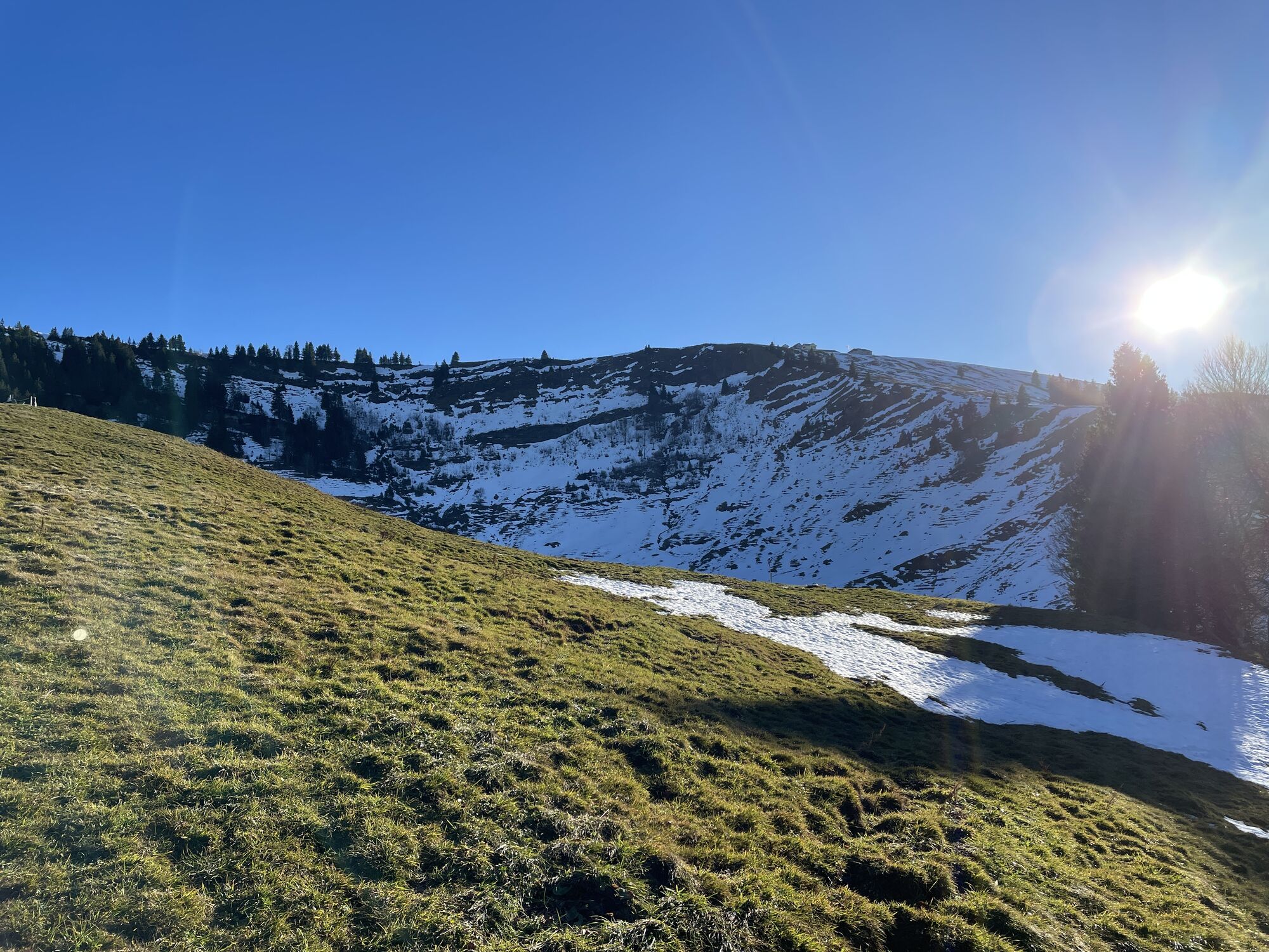
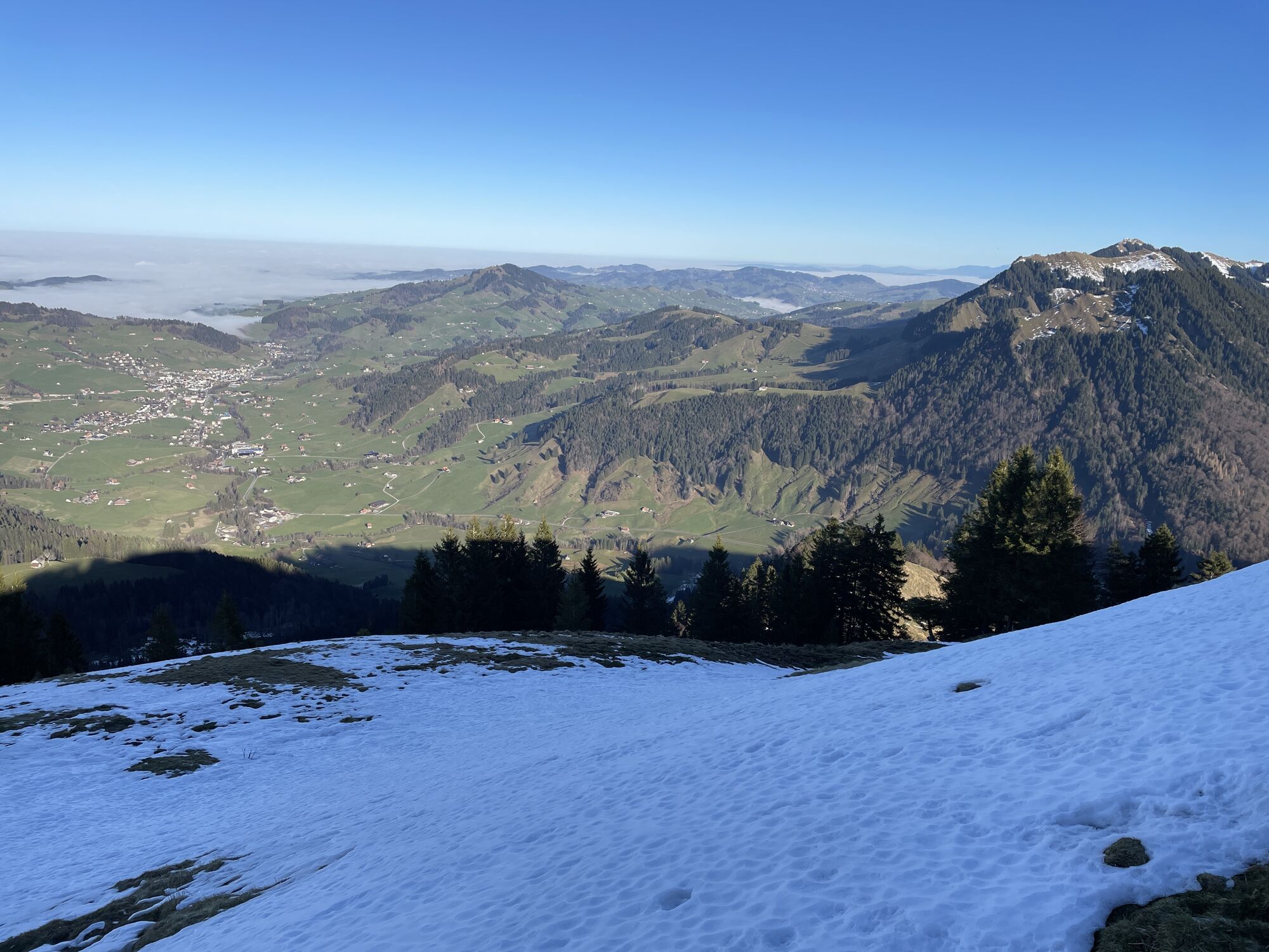
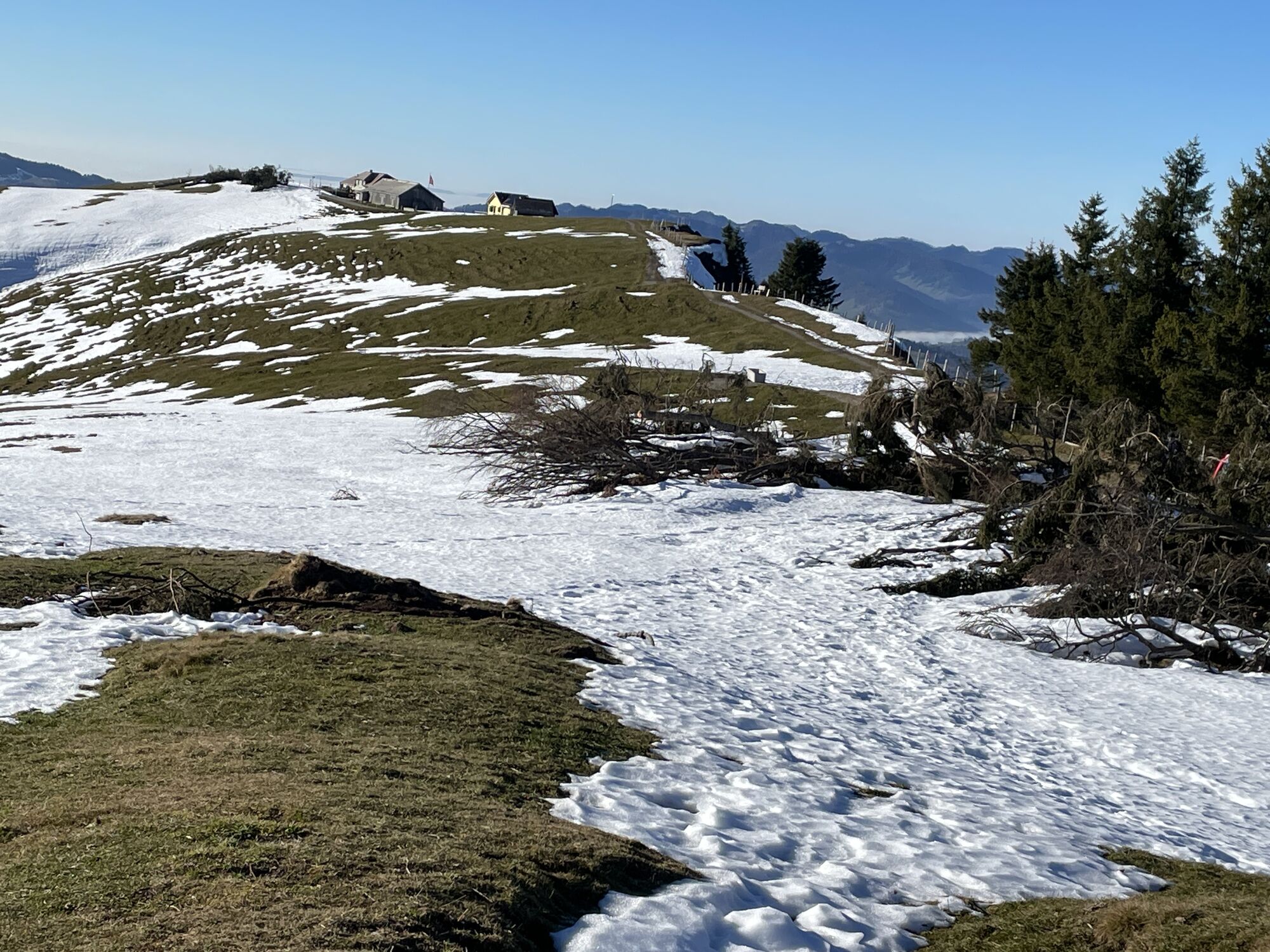
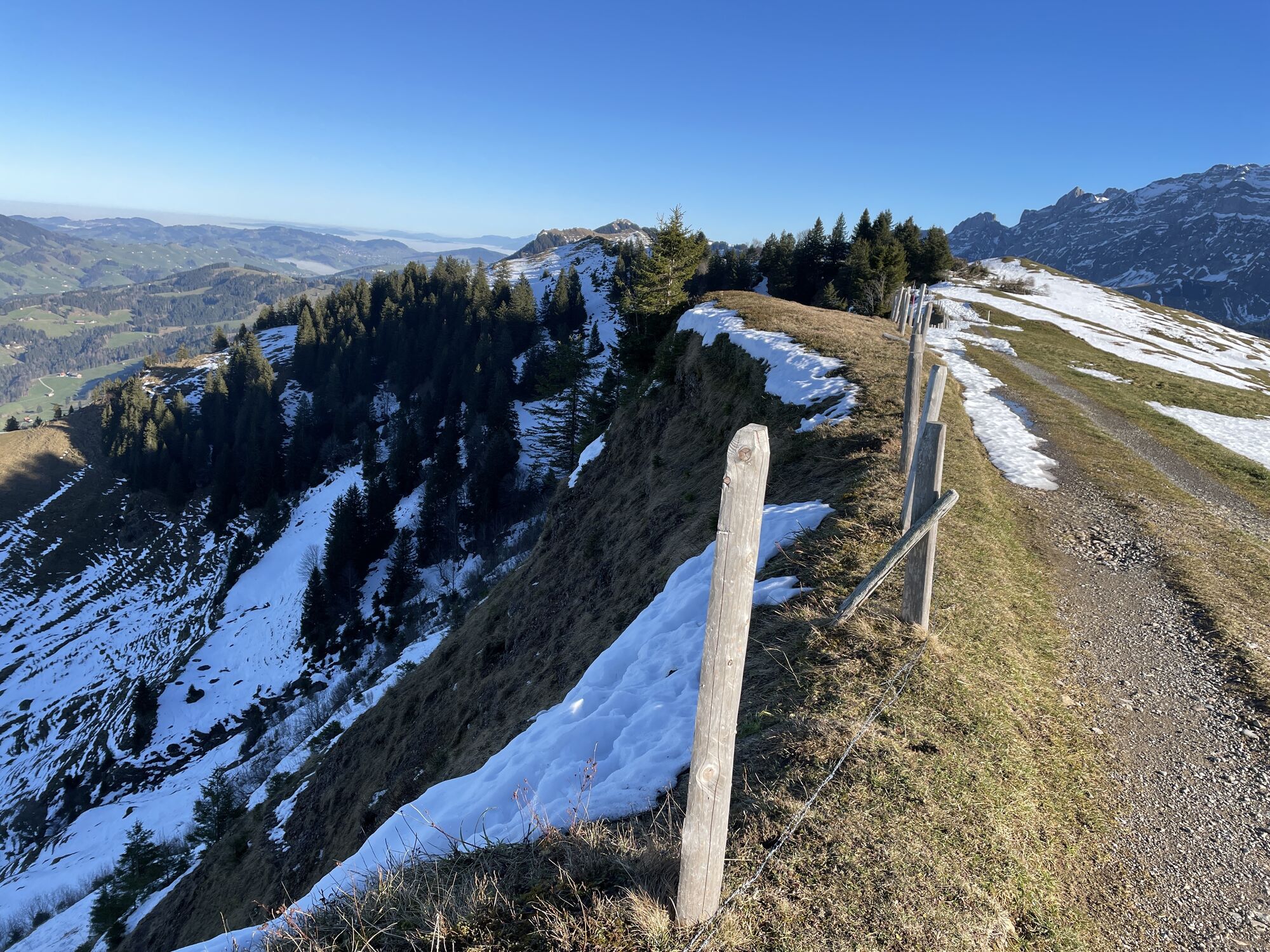
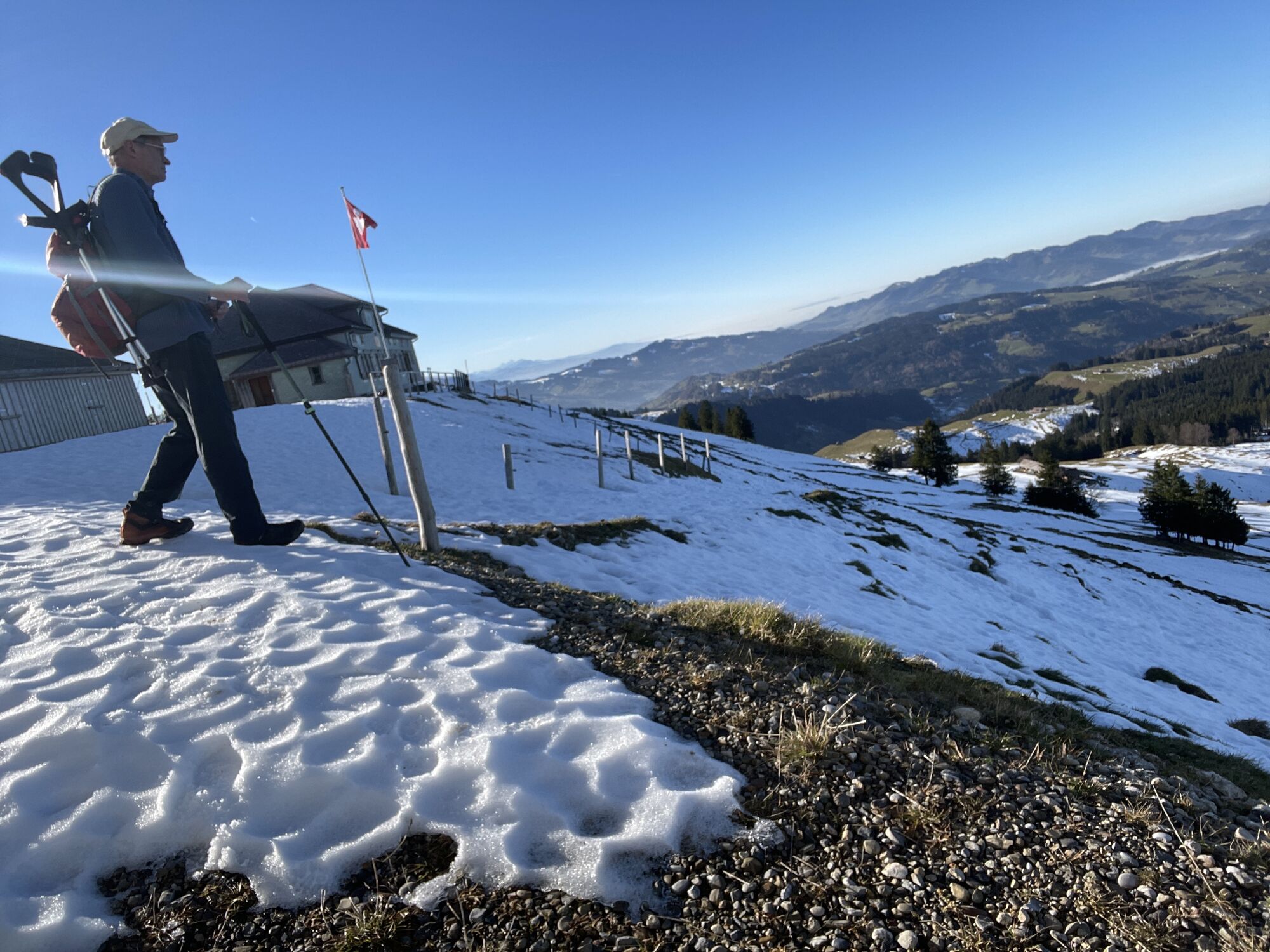
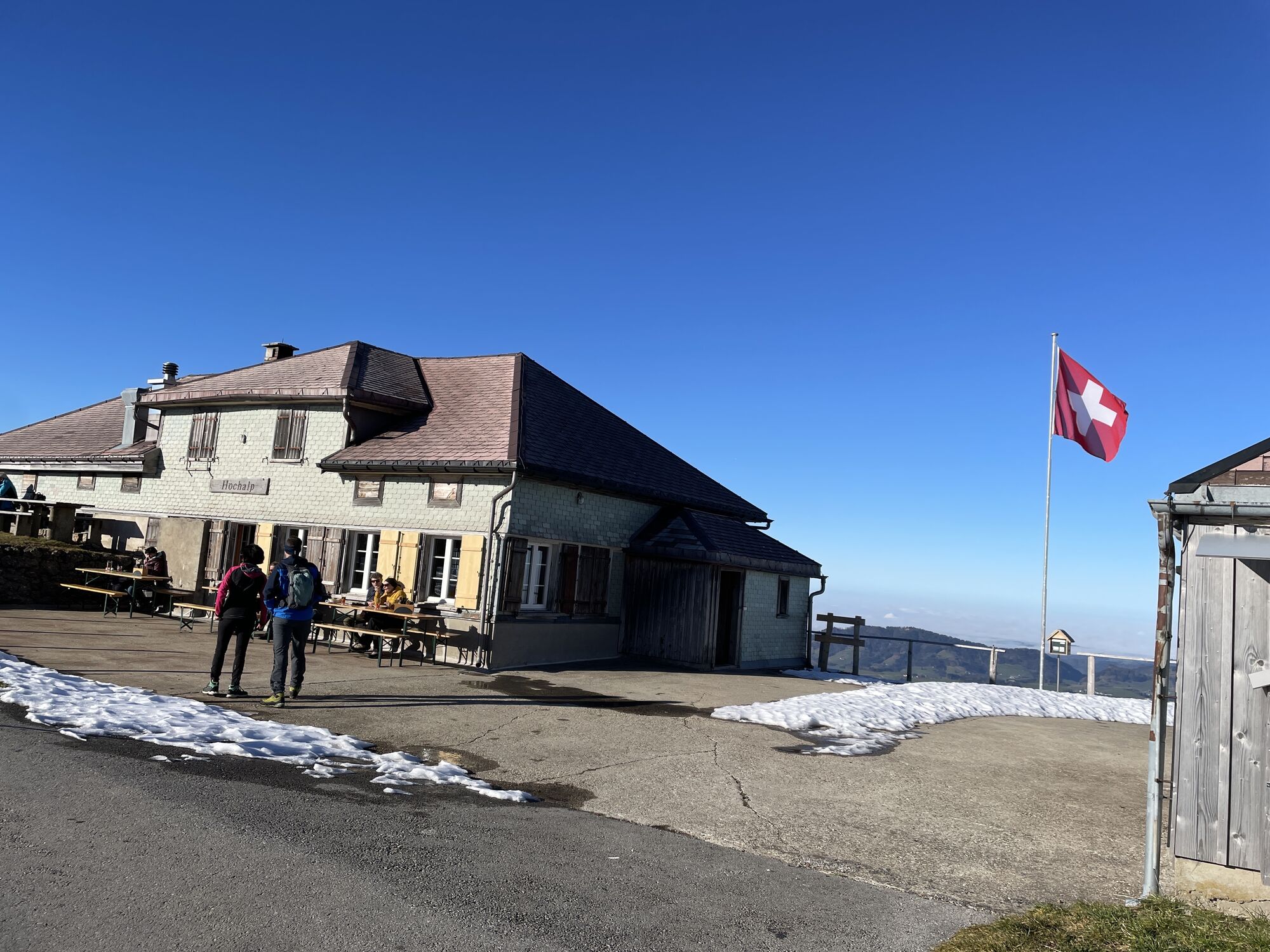
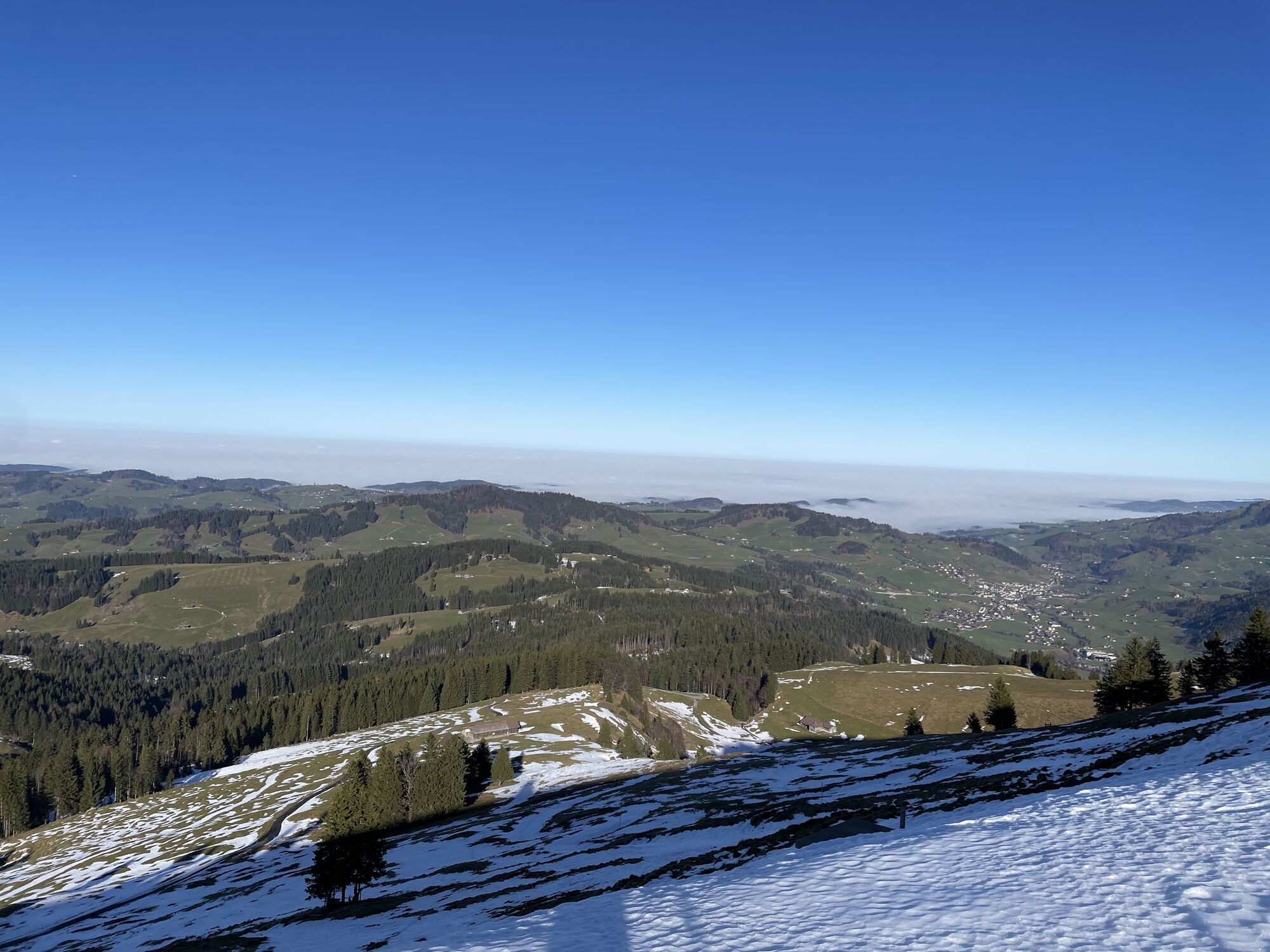

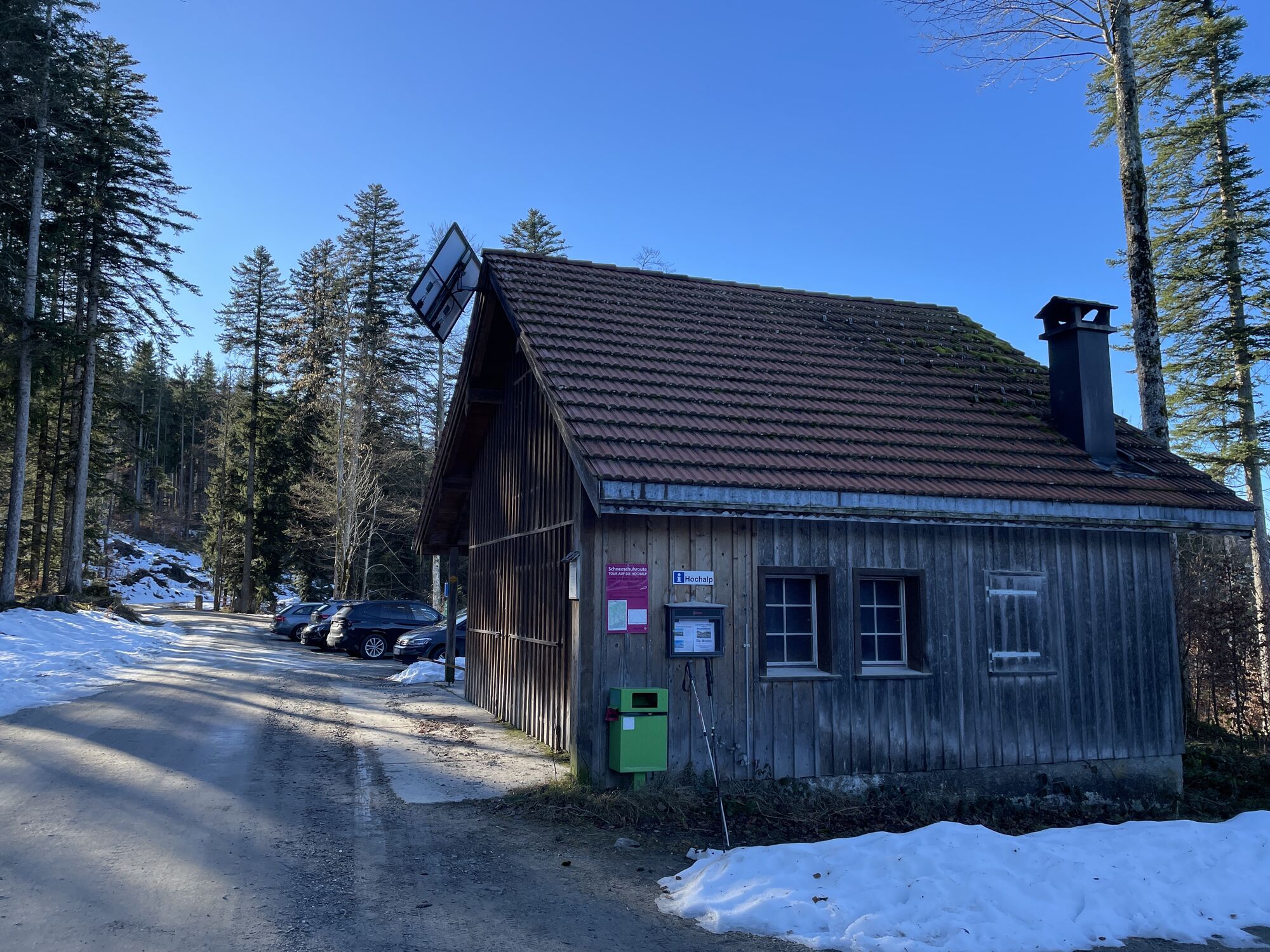
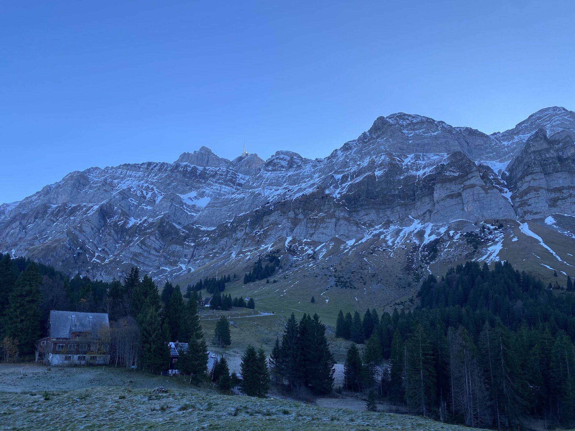
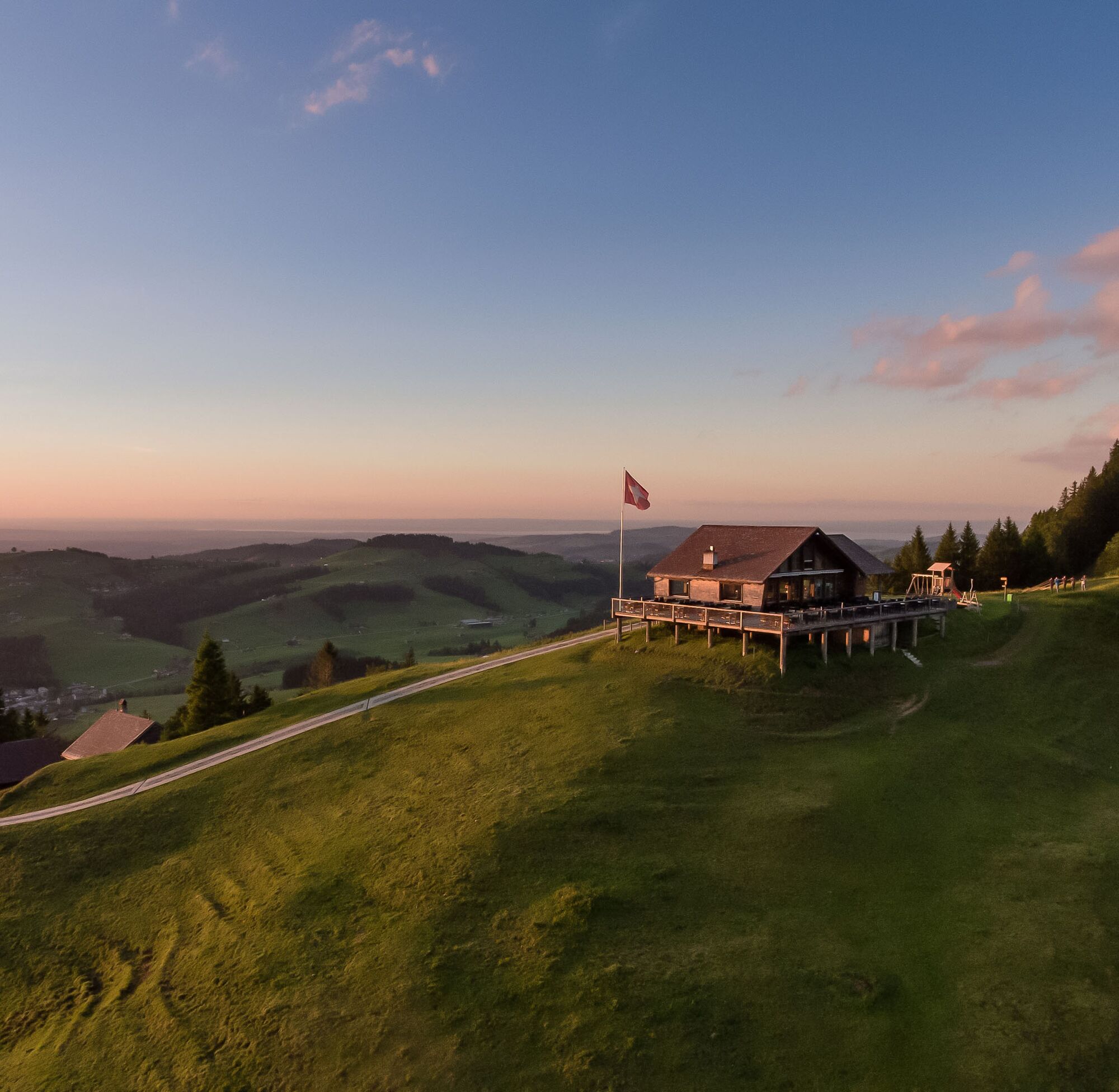
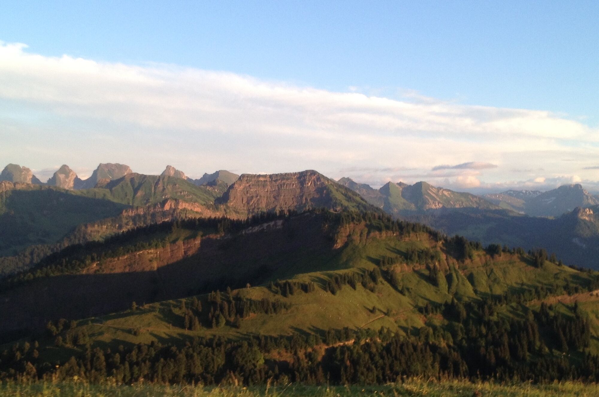
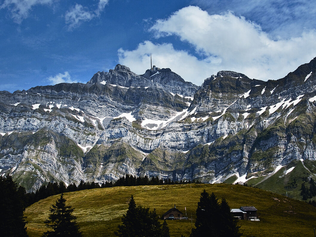
The ascent to Hochhamm and over alpine pastures to Hochalp is rewarded with panoramic views of the mighty Säntis massif and far beyond Lake Constance. In addition, cozy inns on both offer a stopover. On...
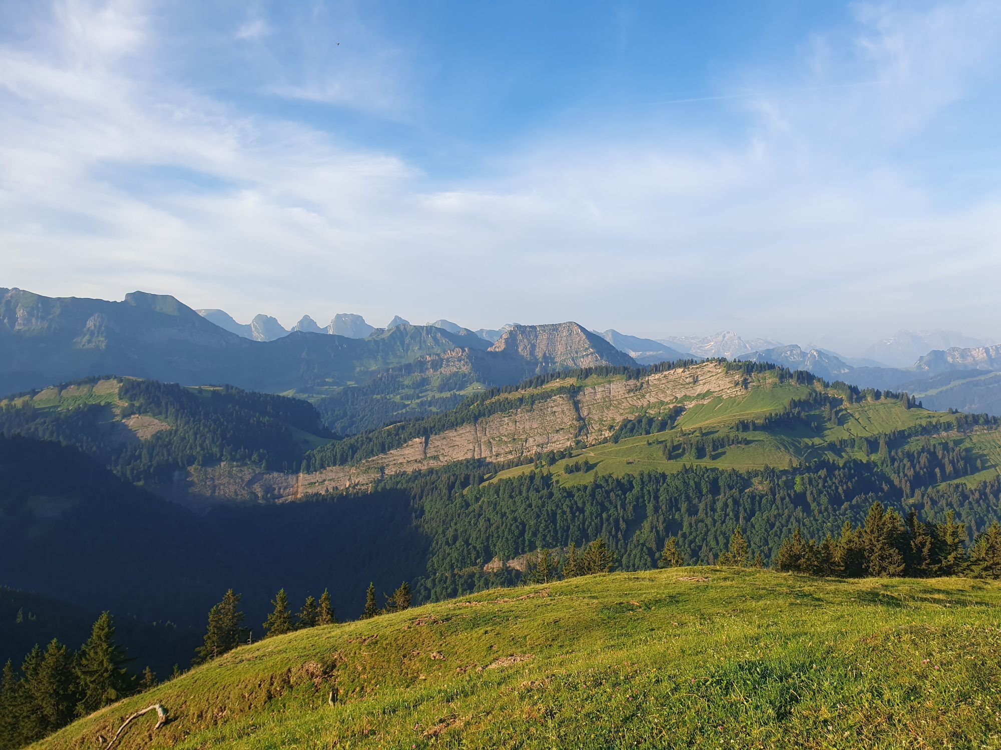
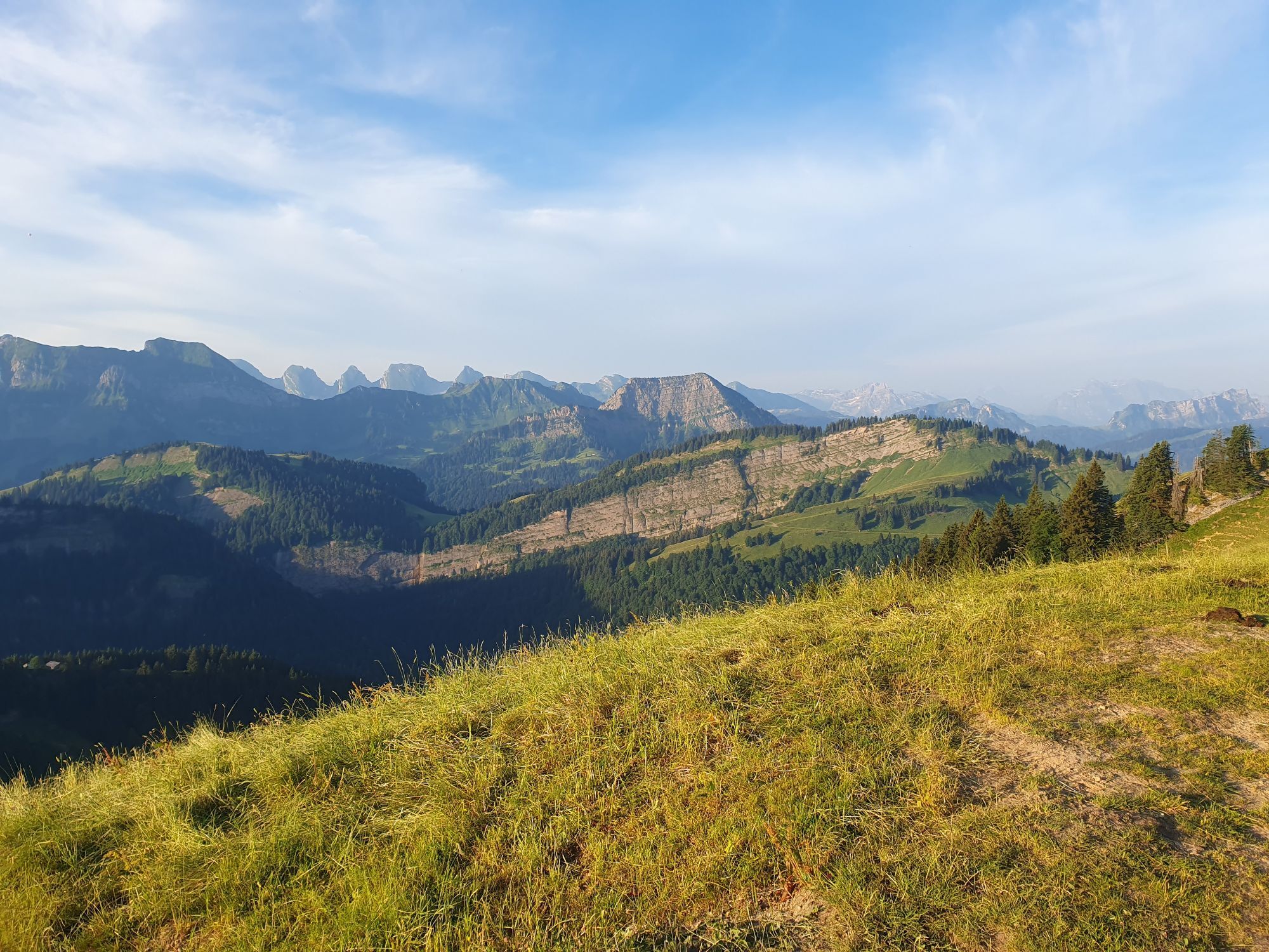
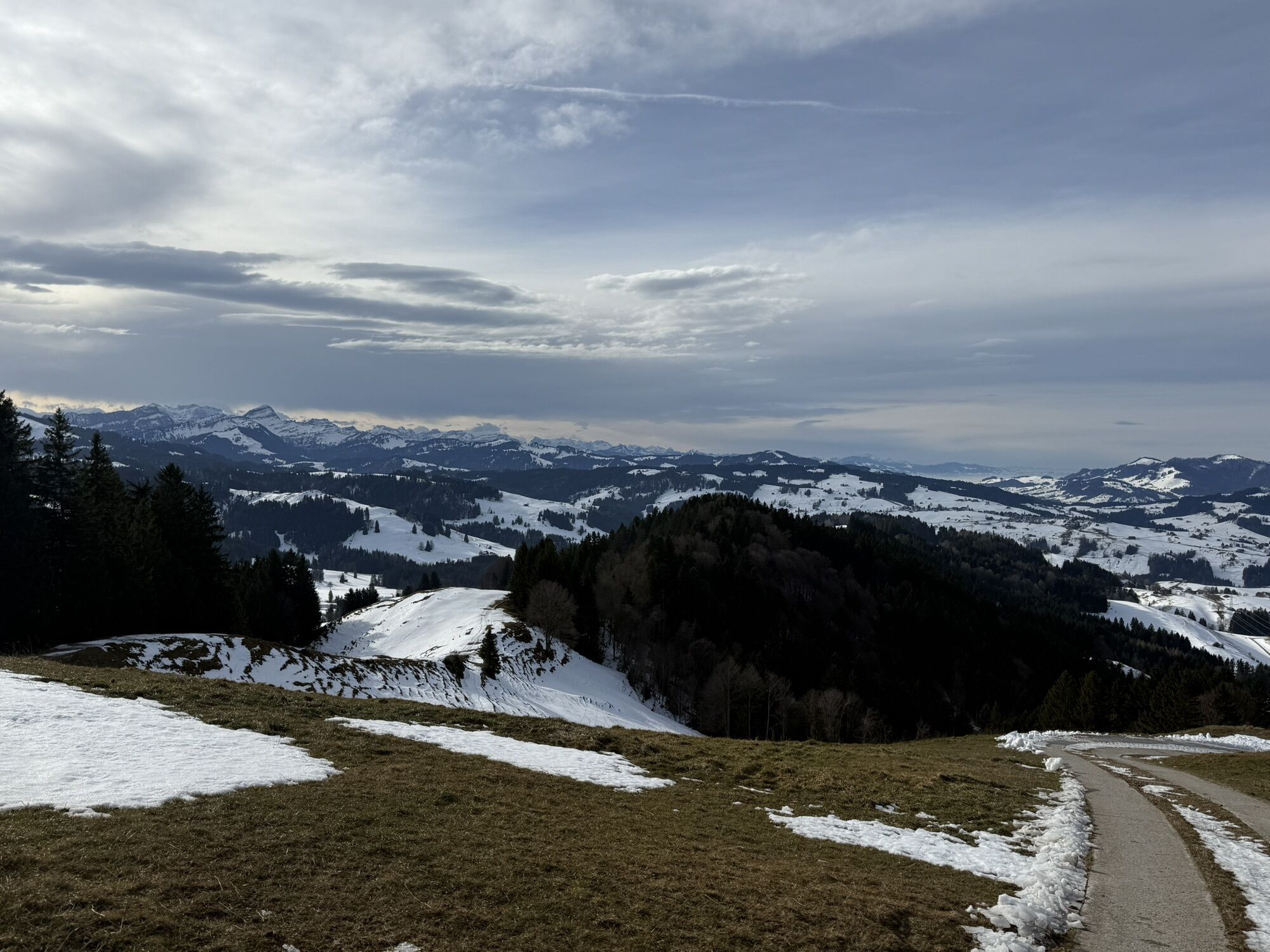
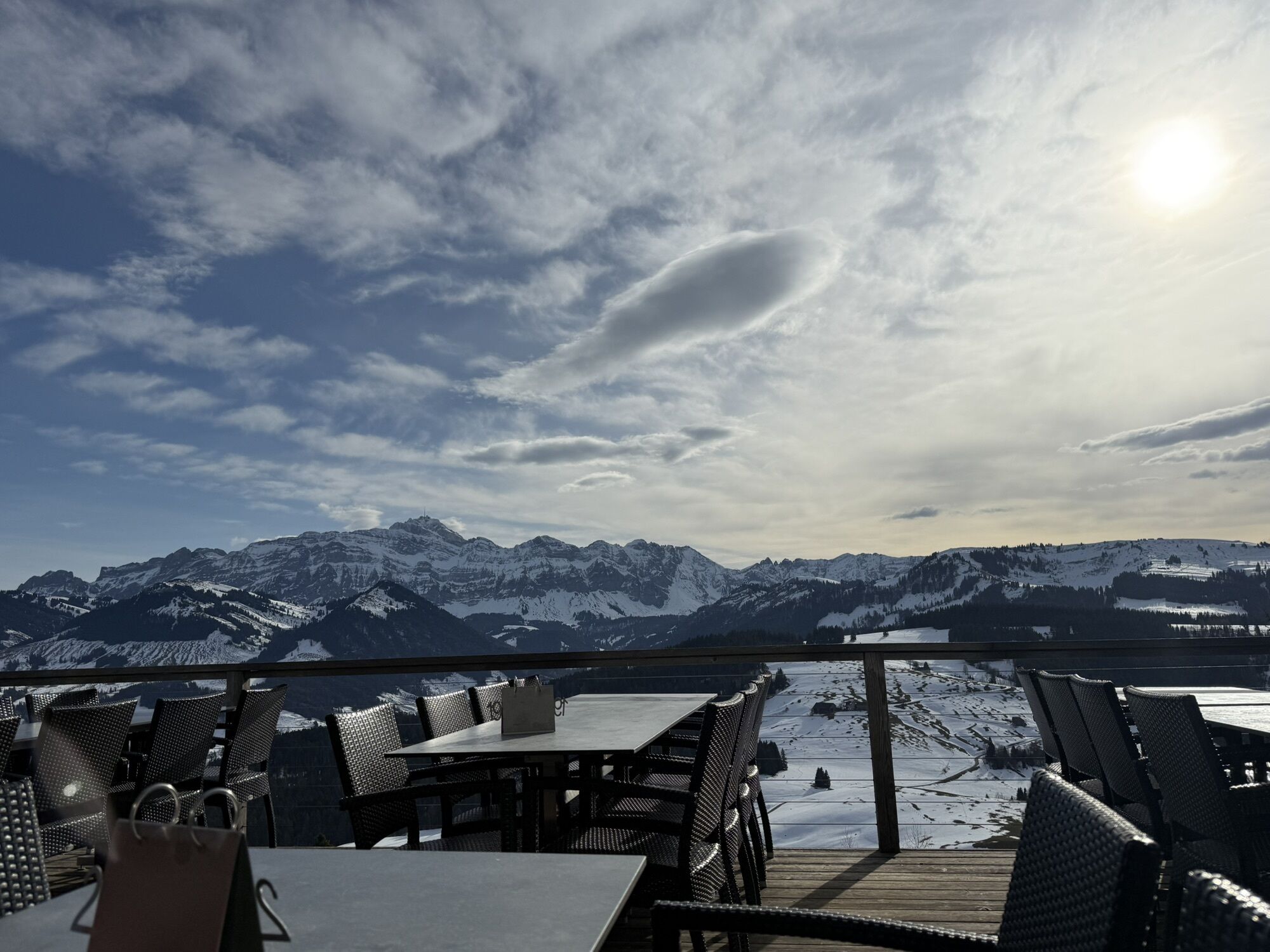
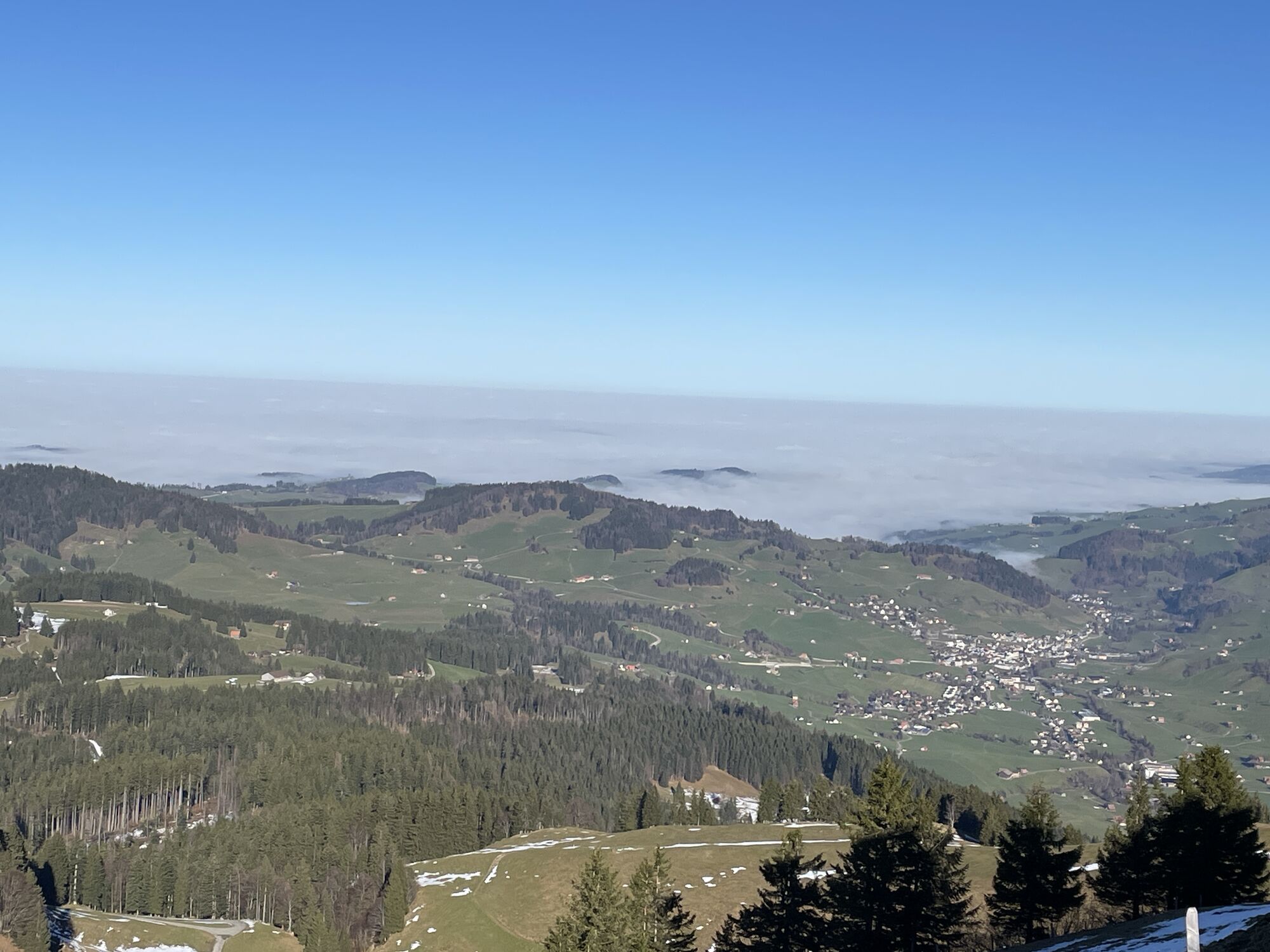
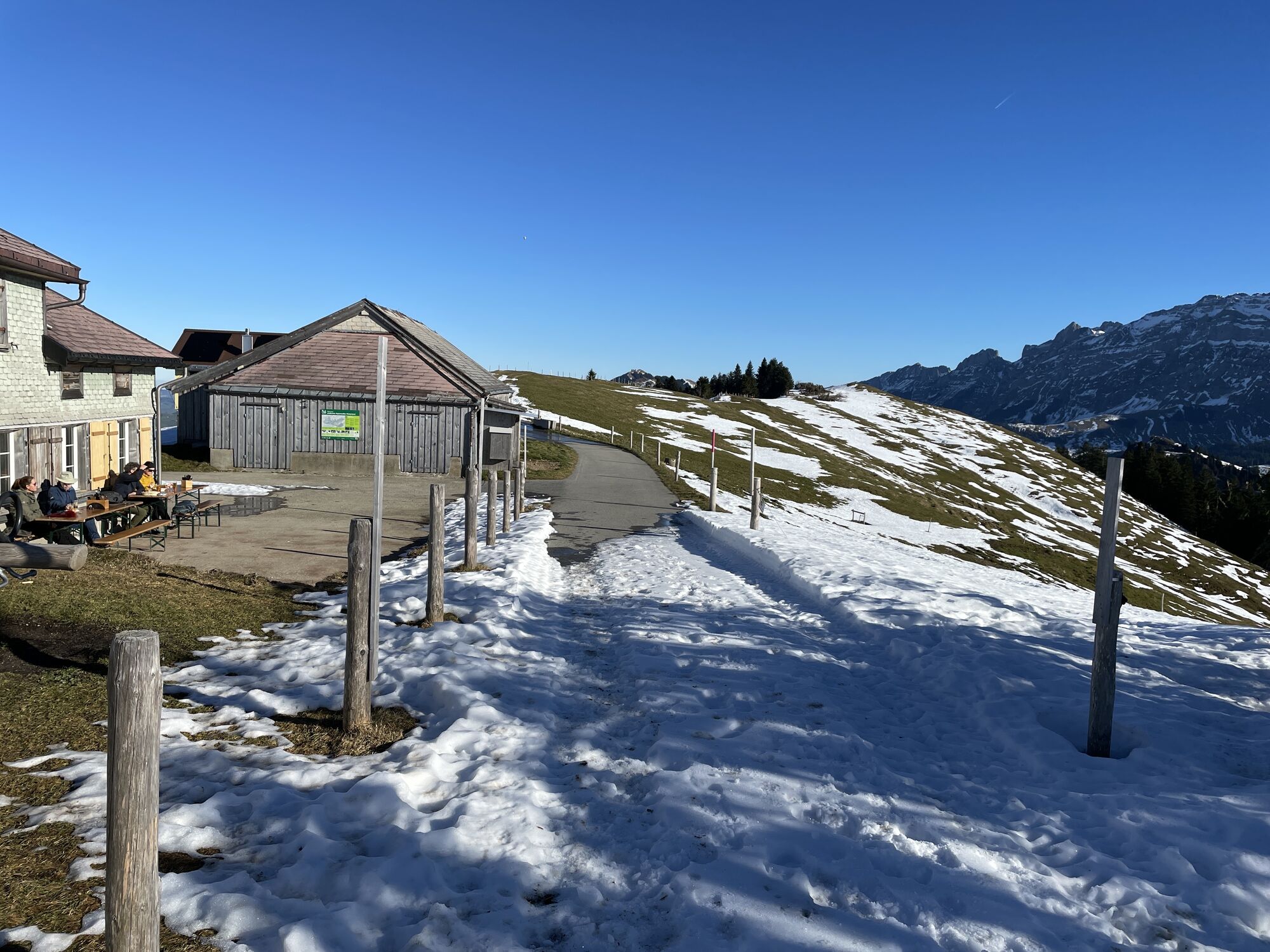
The ascent to Hochhamm and over alpine pastures to Hochalp is rewarded with panoramic views of the mighty Säntis massif and far beyond Lake Constance. In addition, cozy inns on both offer a stopover. On the varied Appenzeller Alpenweg, it continues towards Schwägalp. At times you have views of the Appenzellerland, at others of the Obertoggenburg. From the Schwägalp pass height, there are post bus connections to Toggenburg and Appenzellerland.

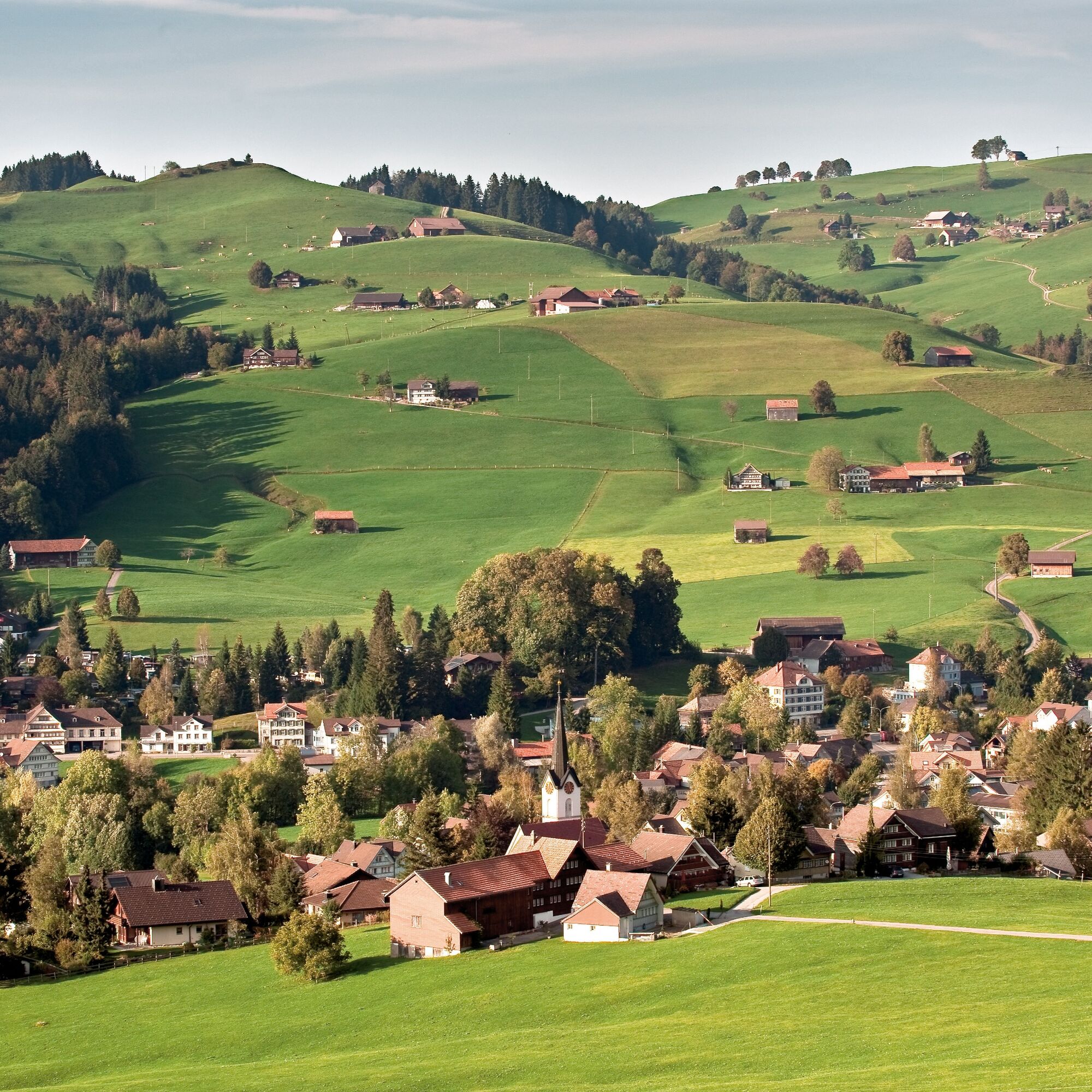
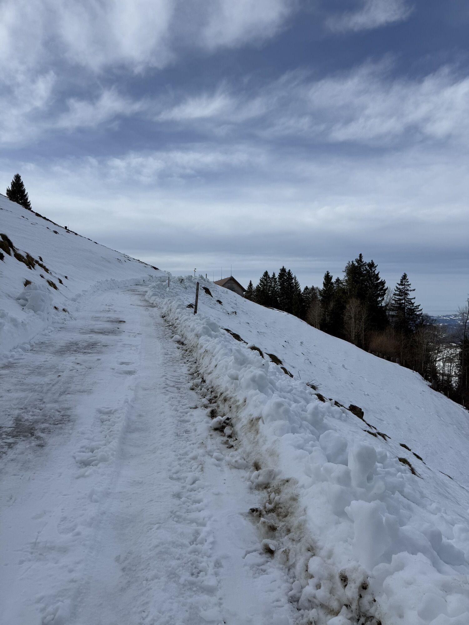
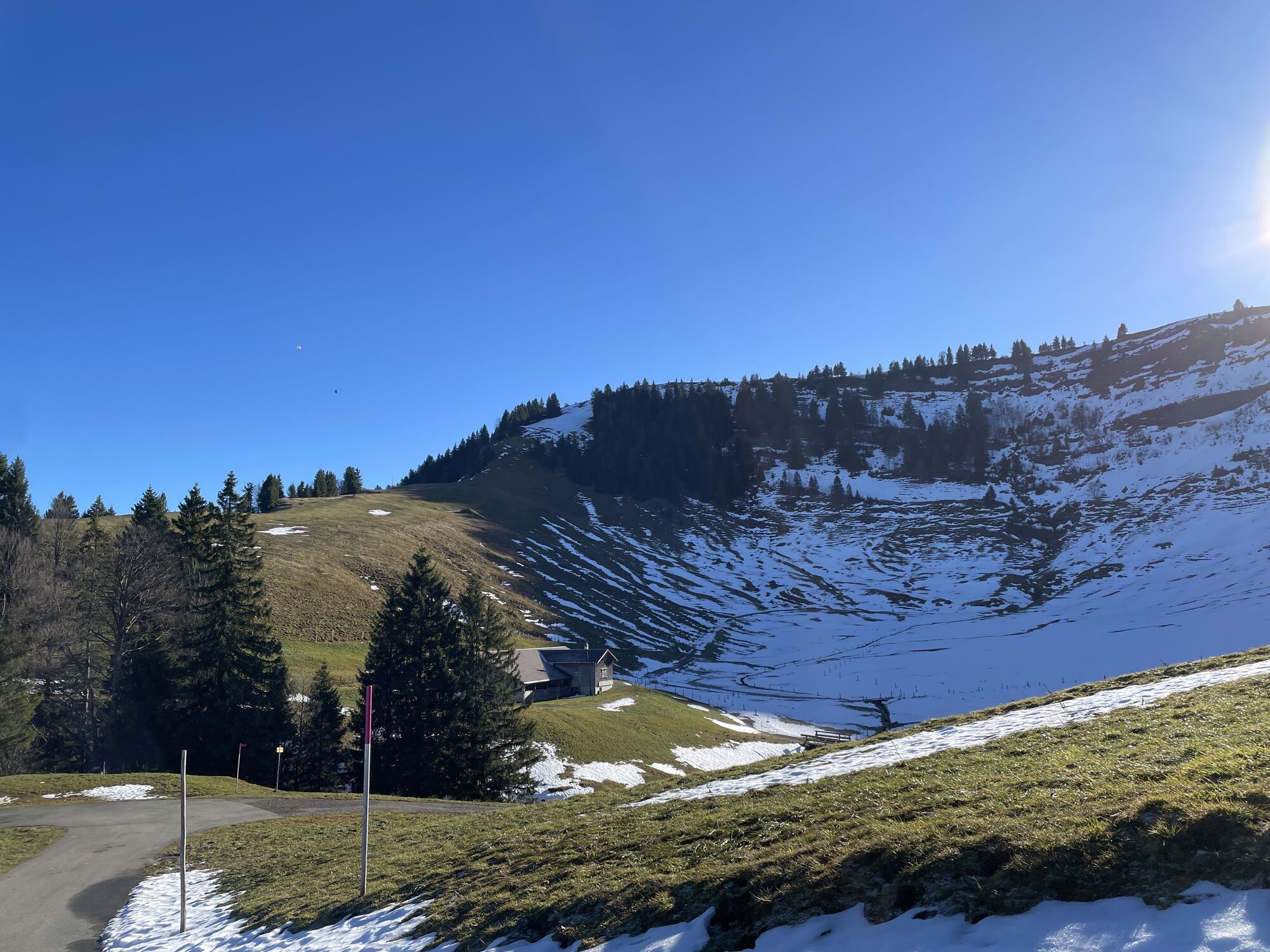
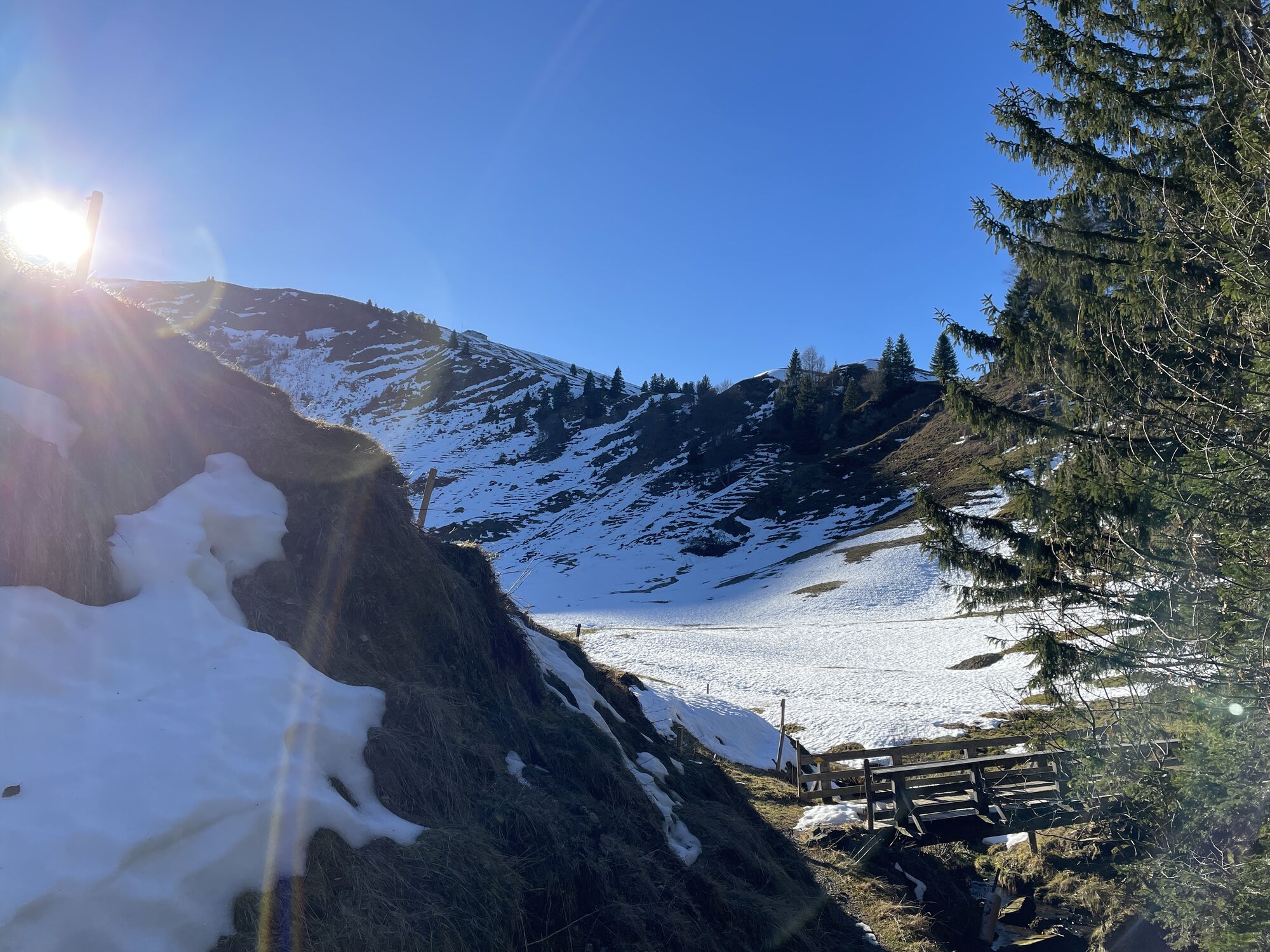
Wald-Schönengrund - Hochhamm - Guggenhalden - Hochalp - Chräzeren Pass - Schwägalp Pass Height - Schwägalp
Day hiking backpack (approx. 20 liters) with rain cover, sturdy and comfortable footwear, weather-appropriate and durable layered clothing, possibly telescopic poles, sun and rain protection, provisions and drinking water, first aid kit, pocketknife, mobile phone, possibly headlamp, map material
From Wil, you can reach Schönengrund via Lütisburg, Ganterschwil, Necker, and St. Peterzell.
From St. Gallen, take the St. Gallen Winkeln motorway exit and follow the route to Herisau via Waldstatt.
By train to Herisau or Brunnadern-Neckertal, then by post bus to the stop «Schönengrund Dorf».
At the MZA in Schönengrund, there are sufficient free parking spaces available.
Toggenburg Tourism
Hauptstrasse 104
CH-9658 Wildhaus
Tel: +41 (0)71 999 99 11
Email: info@toggenburg.swiss
Website: www.toggenburg.swiss
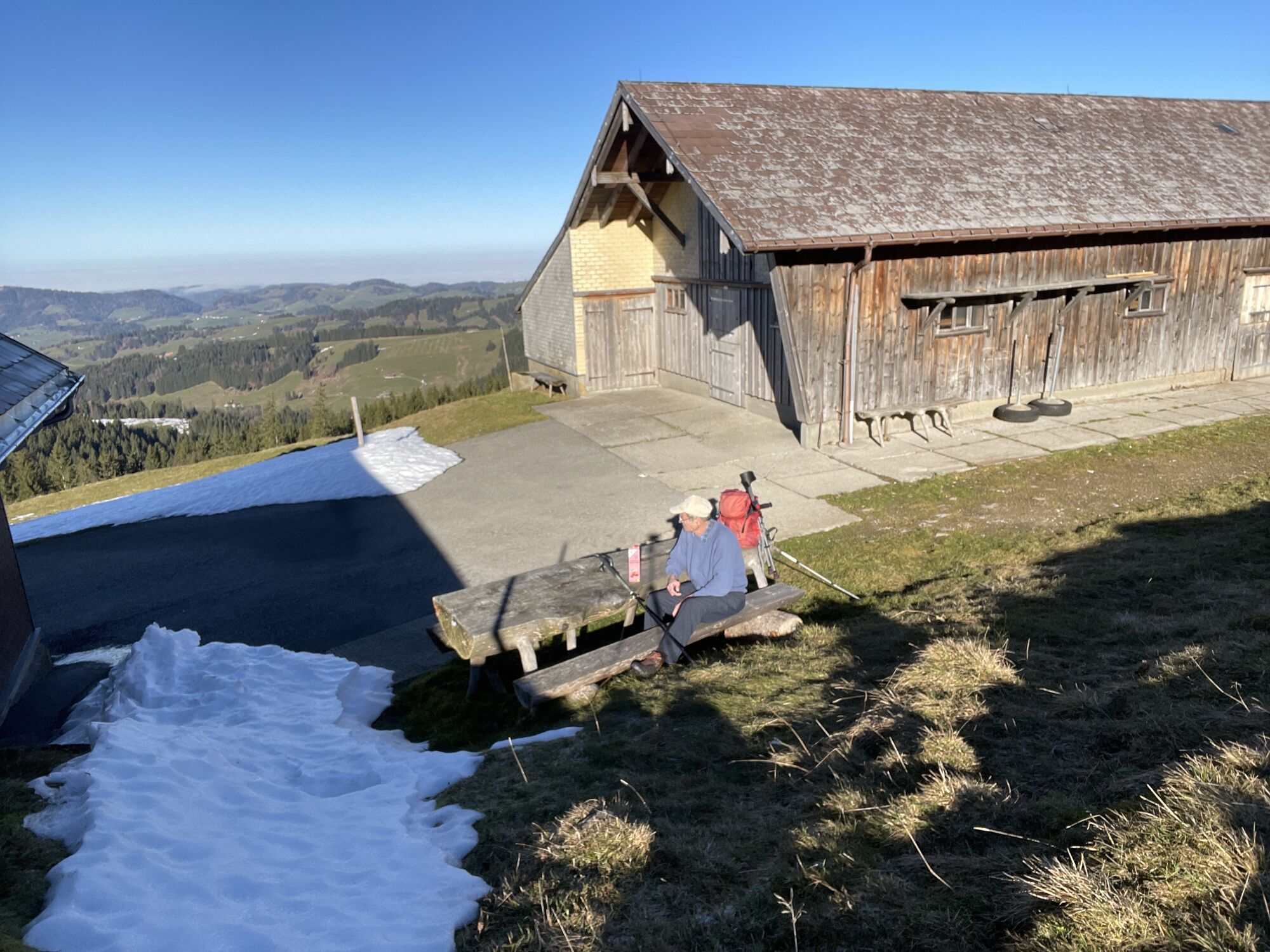
A diverse wine cellar in the Hochhamm mountain inn offers something for every taste.
Webové kamery z prohlídky
Oblíbené prohlídky v okolí
-
4.7
Tour Brülisau - Saxerlücke - Hoherkasten⛰
heavyTuristika 16.6 km -
4.6
Wasserauen - Seealpsee - Wasserauen
středníTuristika 7.71 km -
4.9
Säntis-Gipfeltour, Wasserauen / Appenzell Innerrhoden
heavyTuristika 21.1 km -
5.0
Staubern-Runde (15.8.2021)
středníTuristika 8.65 km -
4.8
2 Seenwanderung Sämtisersee und Fälensee
středníTuristika 14.6 km -
4.9
Schwende, Appenzell Innerrhoden
středníTuristika 11.8 km -
4.6
Schwägalp - Berggasthaus Tierwies - Girenspitz - Säntis
heavyTuristika 4.83 km -
4.3
Traumhafte 3-Seen/Hütten Runde in Appenzell Schweiz
středníVysokohorská turistika 19.7 km -
4.6
Frümsen - Saxerlücke - Staubern, Schweiz
středníTuristika 14.0 km -
4.8
Mountain route over Rotsteinpass to Säntis
heavyTuristika 8.53 km
Pěší turistika a stopování


Nenechte si ujít nabídky a inspiraci pro vaši příští dovolenou
Vaše e-mailová adresa byl přidán do poštovního seznamu.