


Stage 3 Dolomiti Trek King Short Experience - In the realm of the Salvan


Fotografie našich uživatelů
-
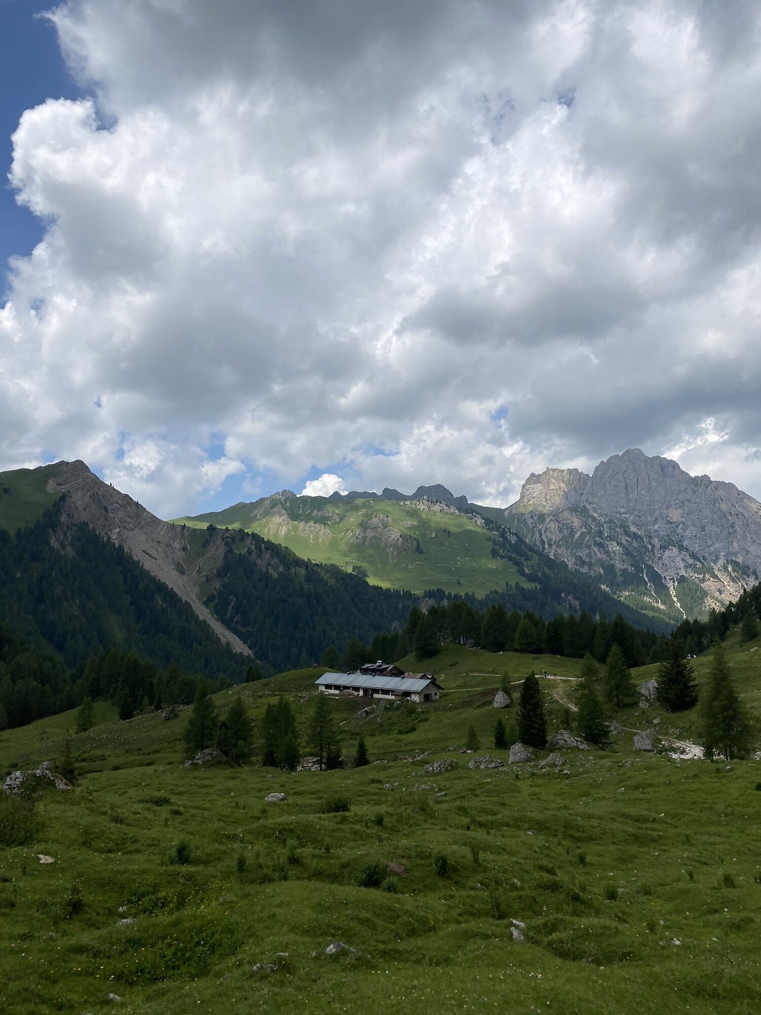
 © Andrea PeruginiVytvořeno dne 16.07.2024
 -
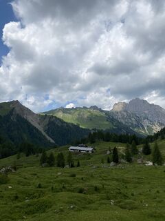
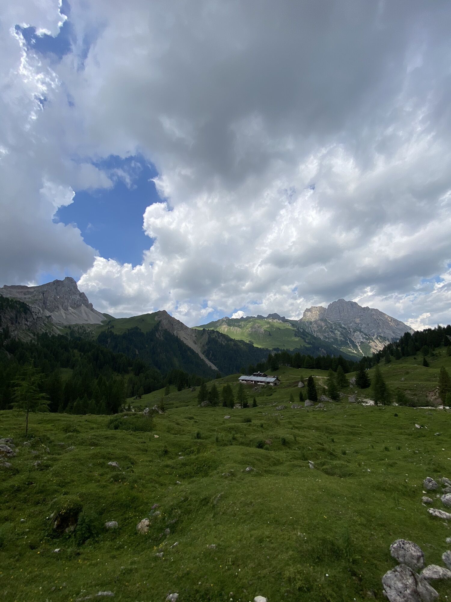
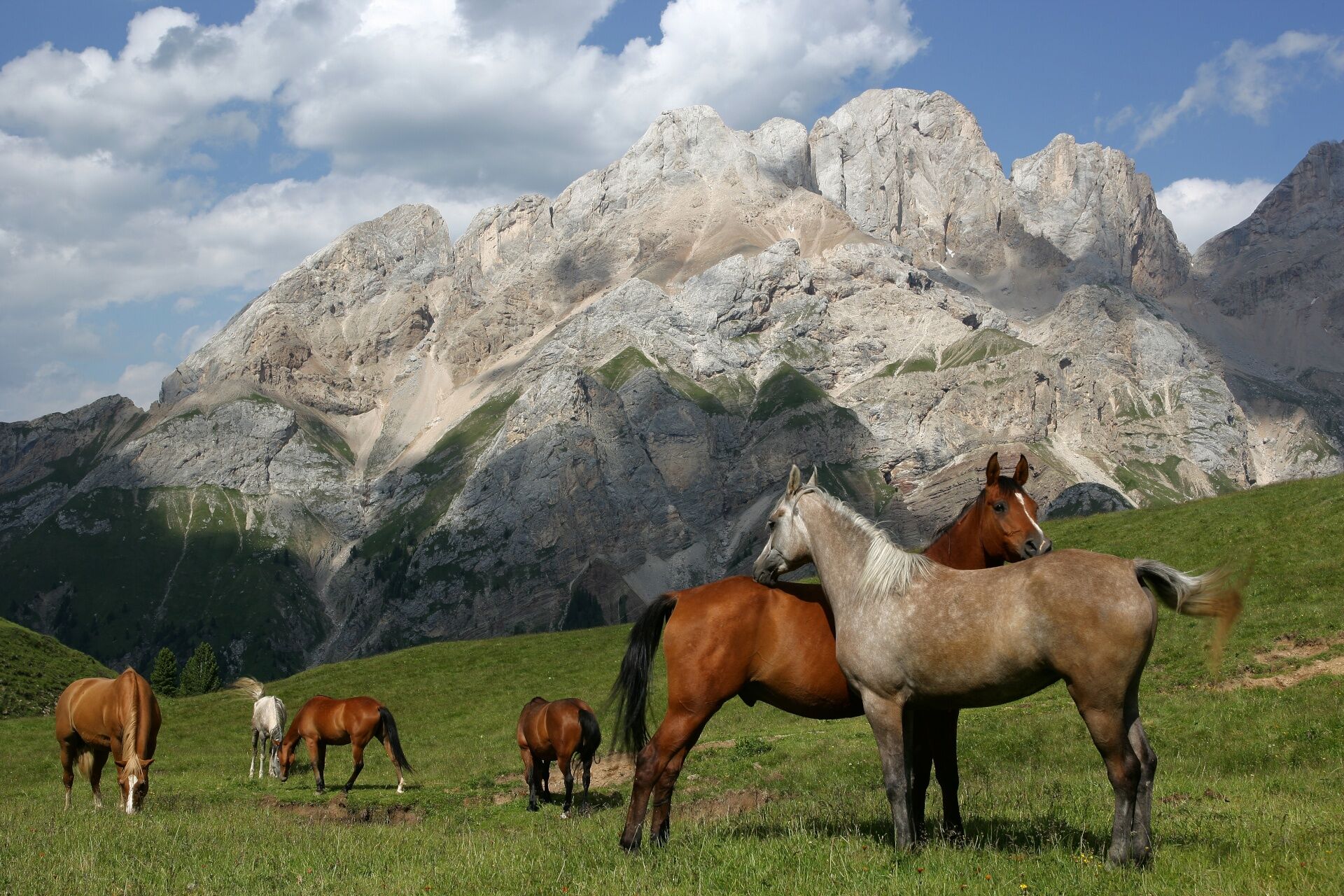
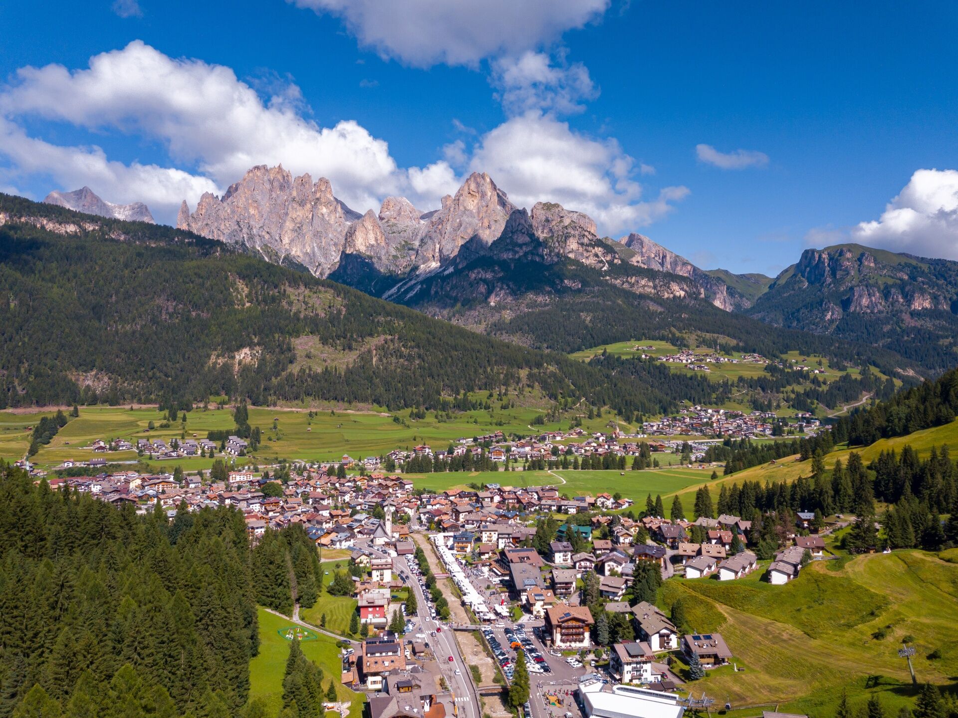
 © Caterina MarazitaVytvořeno dne 12.08.2025
 -
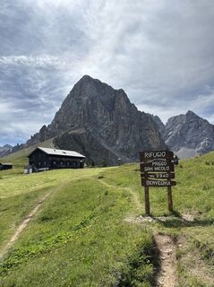
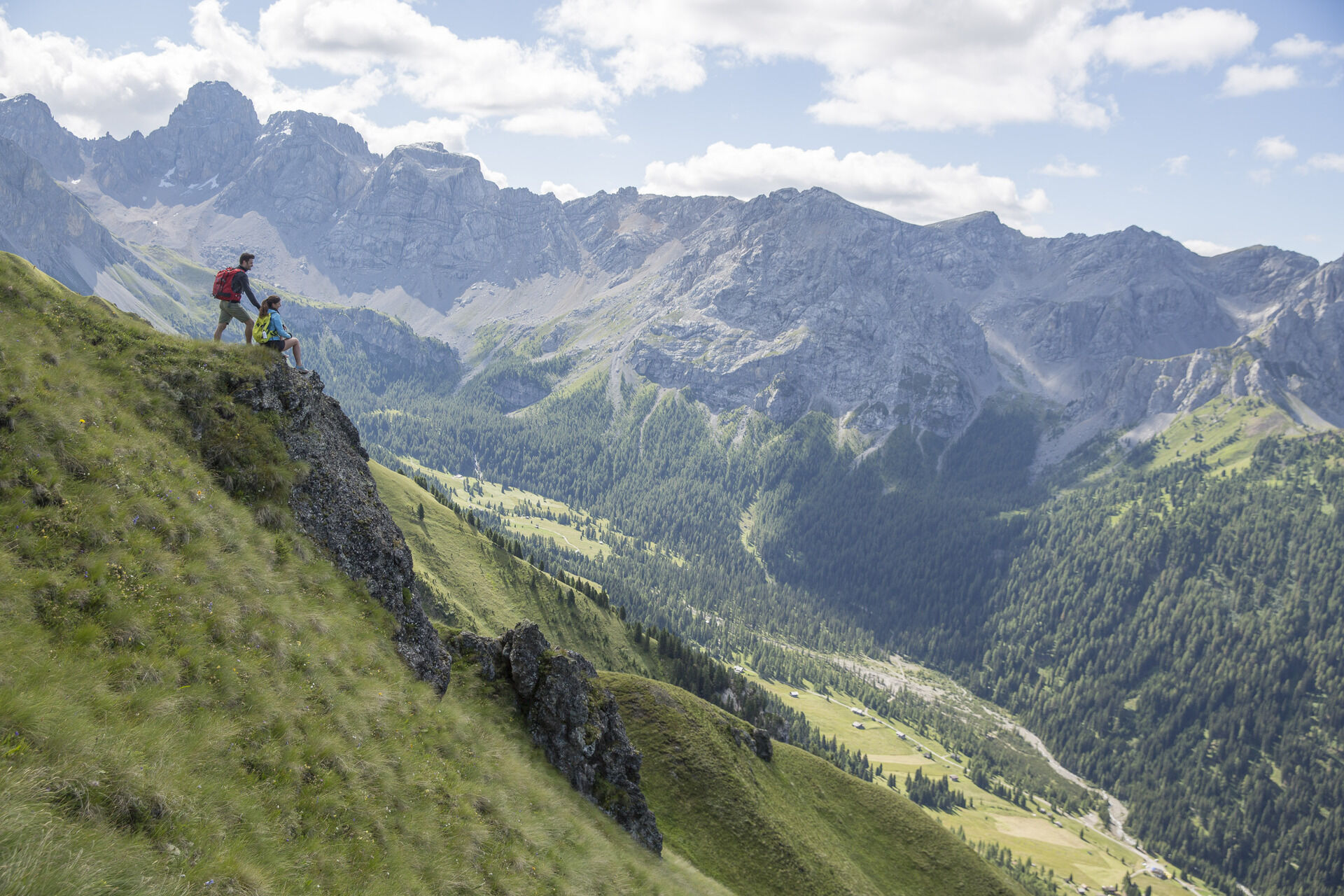
 © Caterina MarazitaVytvořeno dne 12.08.2025
 -
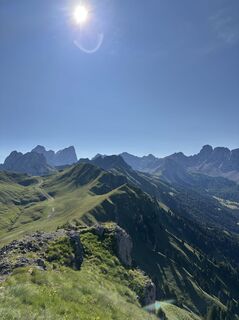
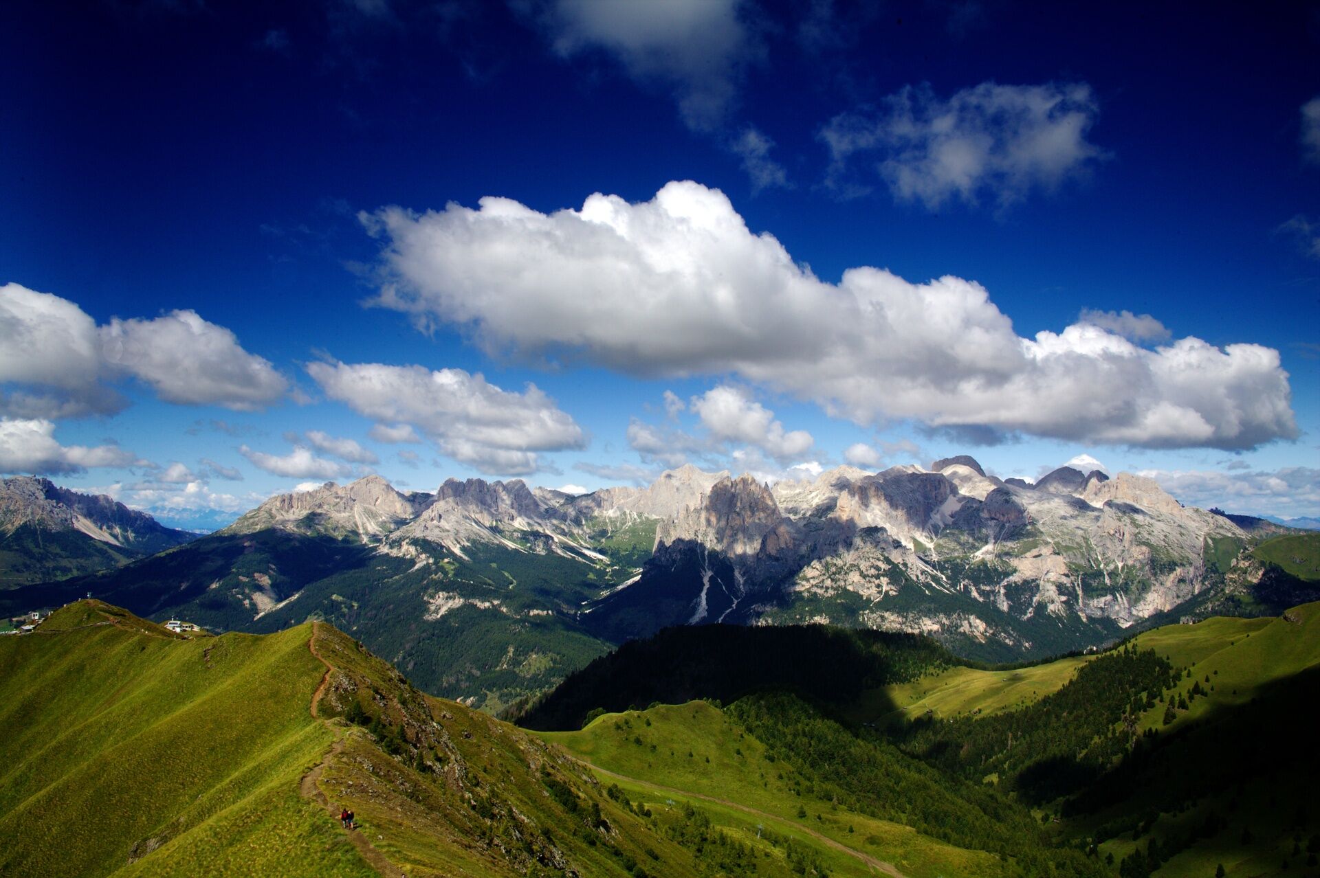
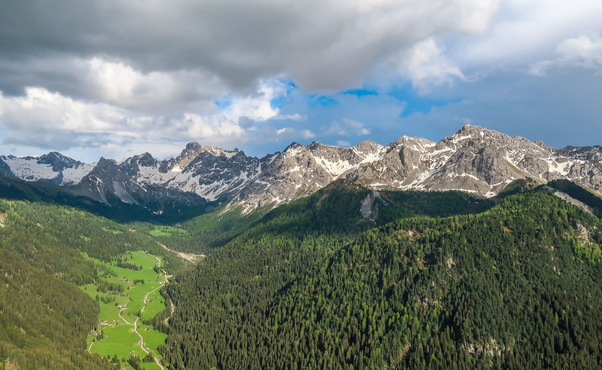
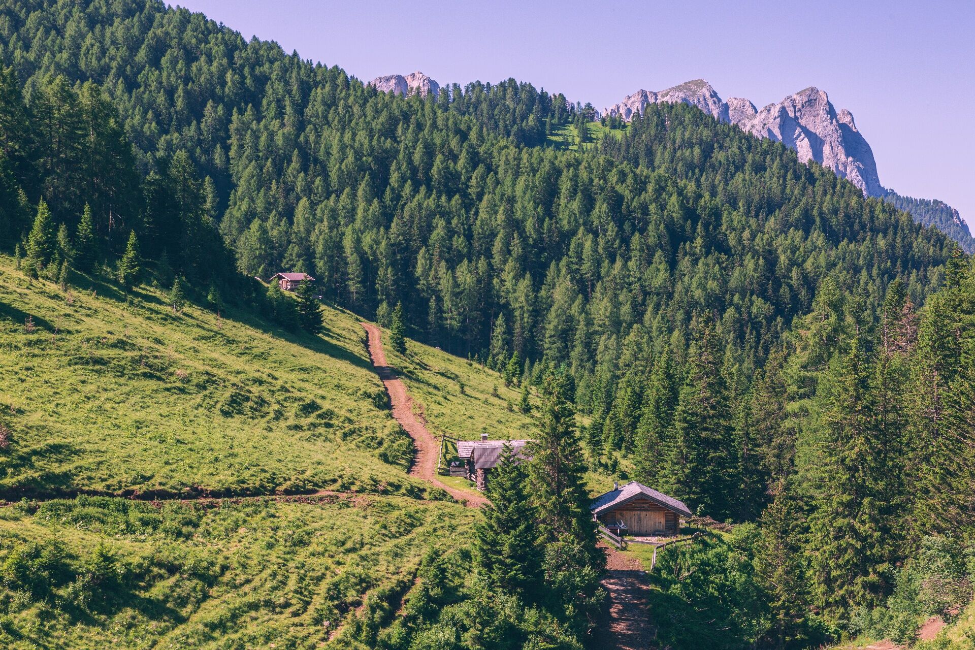
 © Luciano SandriVytvořeno dne 18.07.2025
 -
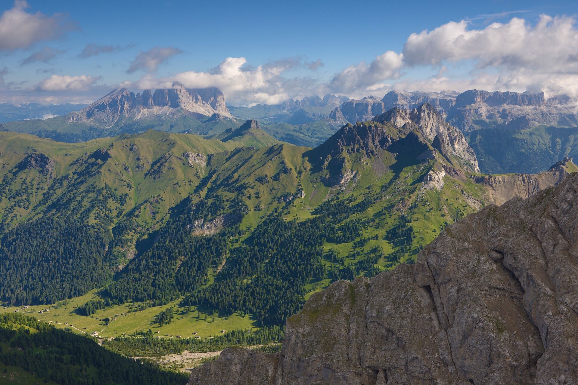
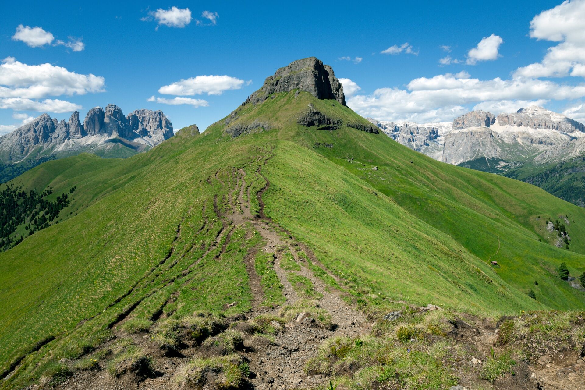
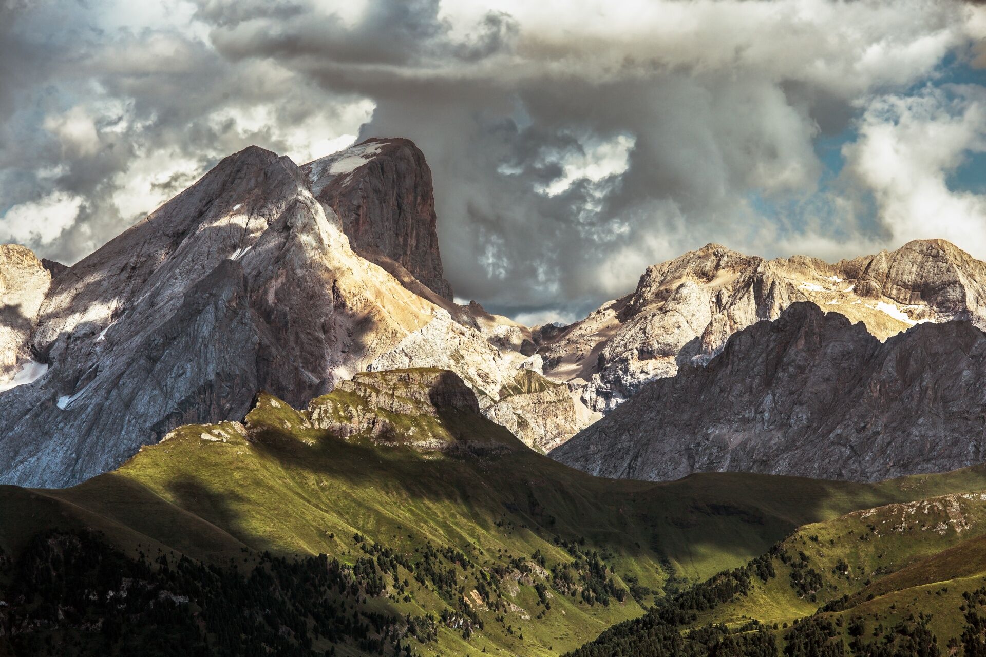
 © Luciano SandriVytvořeno dne 18.07.2025
 -
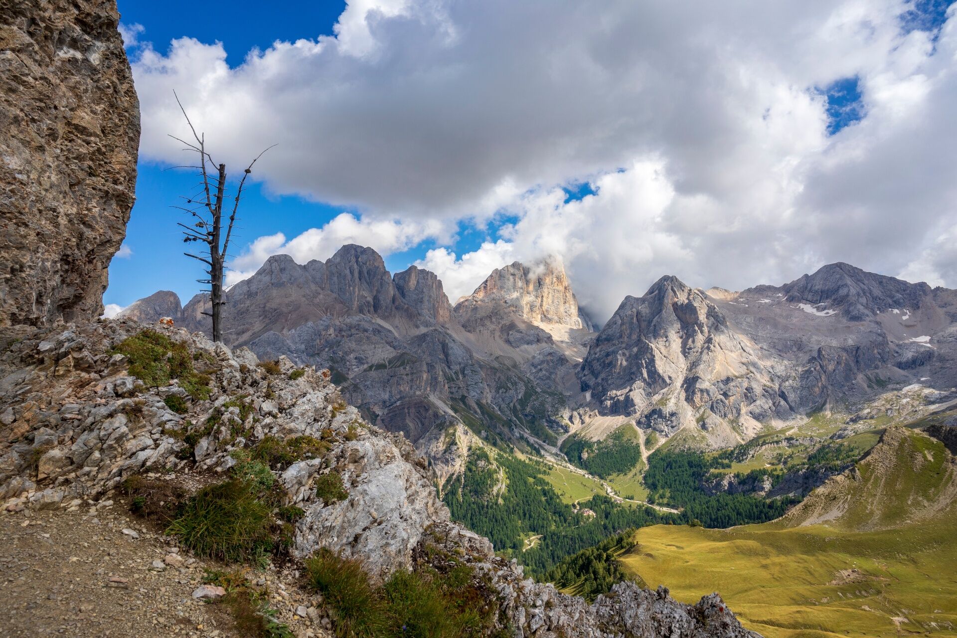
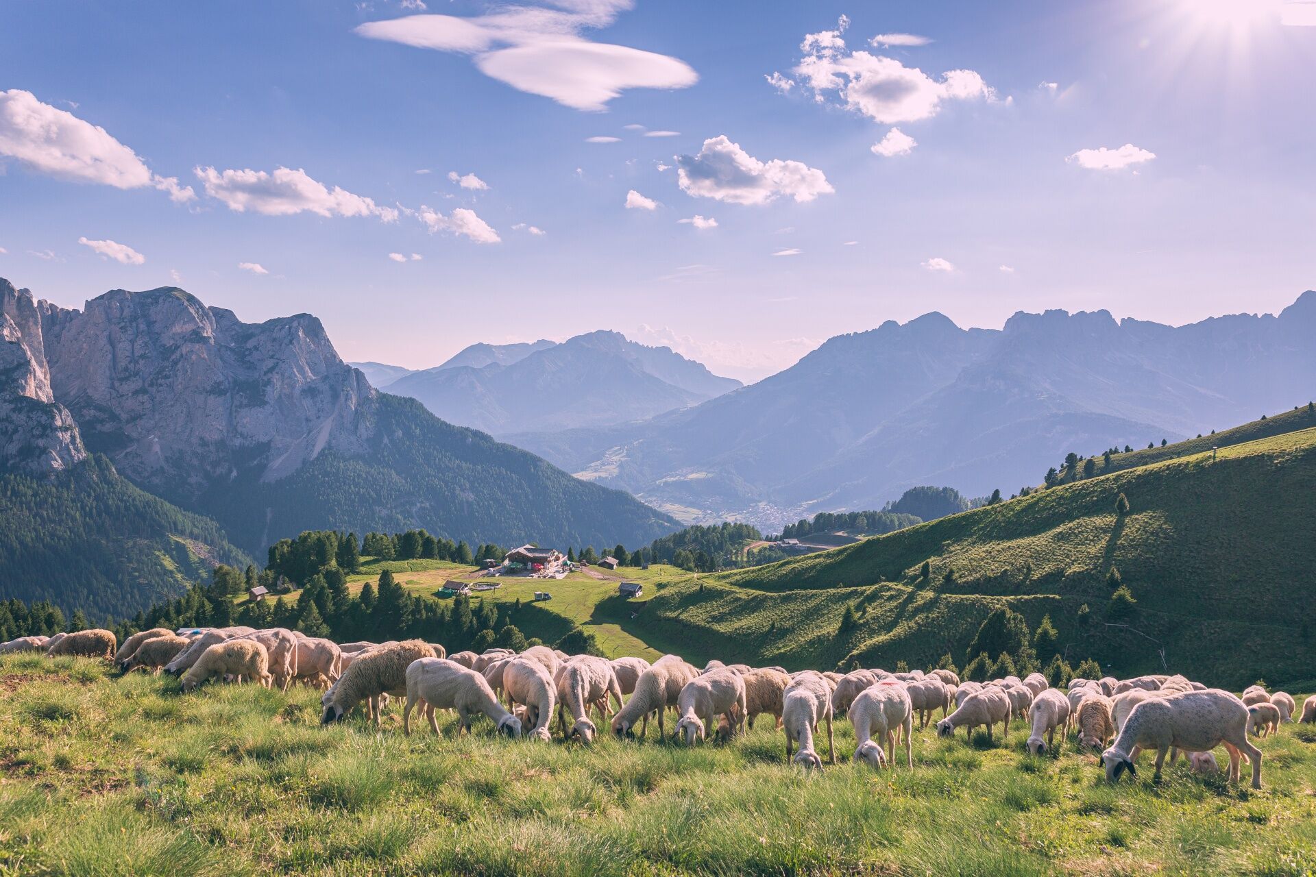
 © Luciano SandriVytvořeno dne 18.07.2025
 -
 © Andrea PeruginiVytvořeno dne 16.07.2024
 -
 © Andrea PeruginiVytvořeno dne 16.07.2024
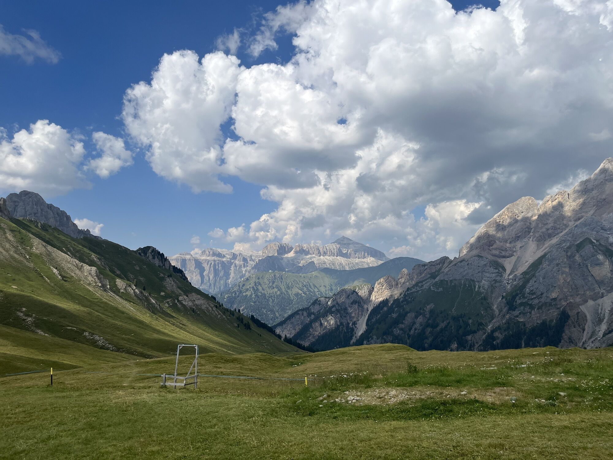
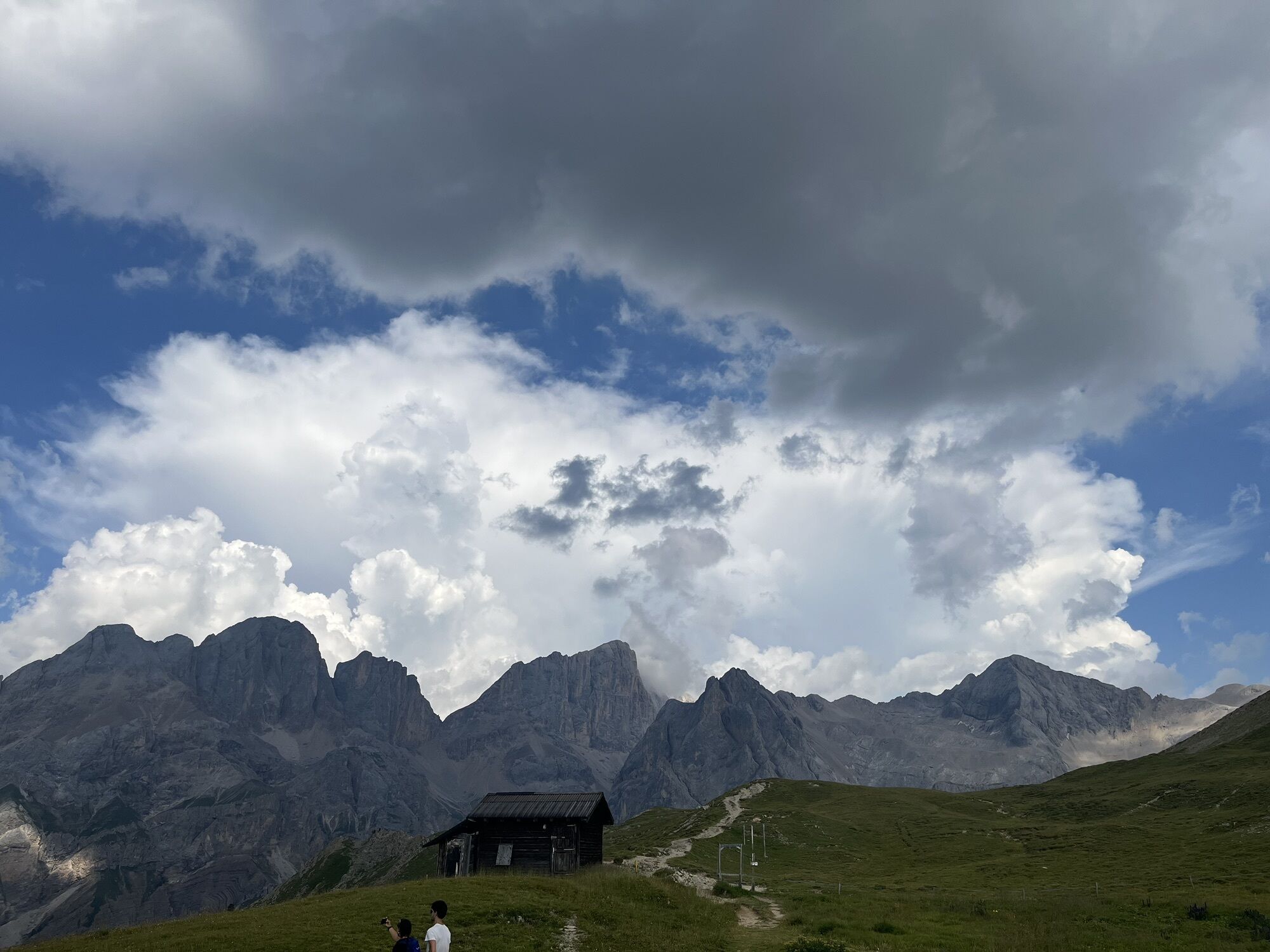


From Contrin Refuge start the ascent to the San Nicolò Pass through path no. 608. From here take path no. 613 where there are fortifications left from WW1 and afterwards on path no. 613/B, proceed to the...
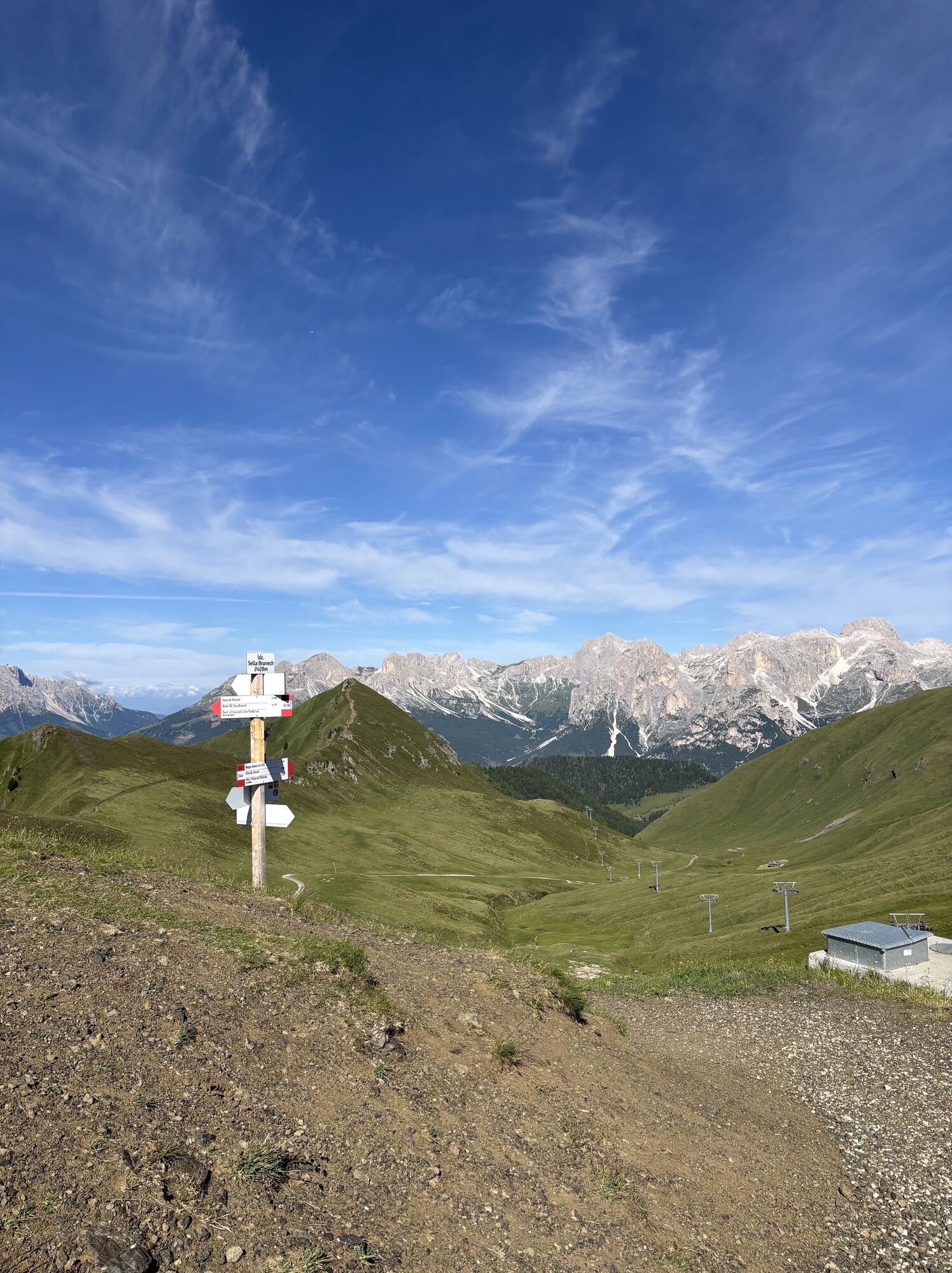
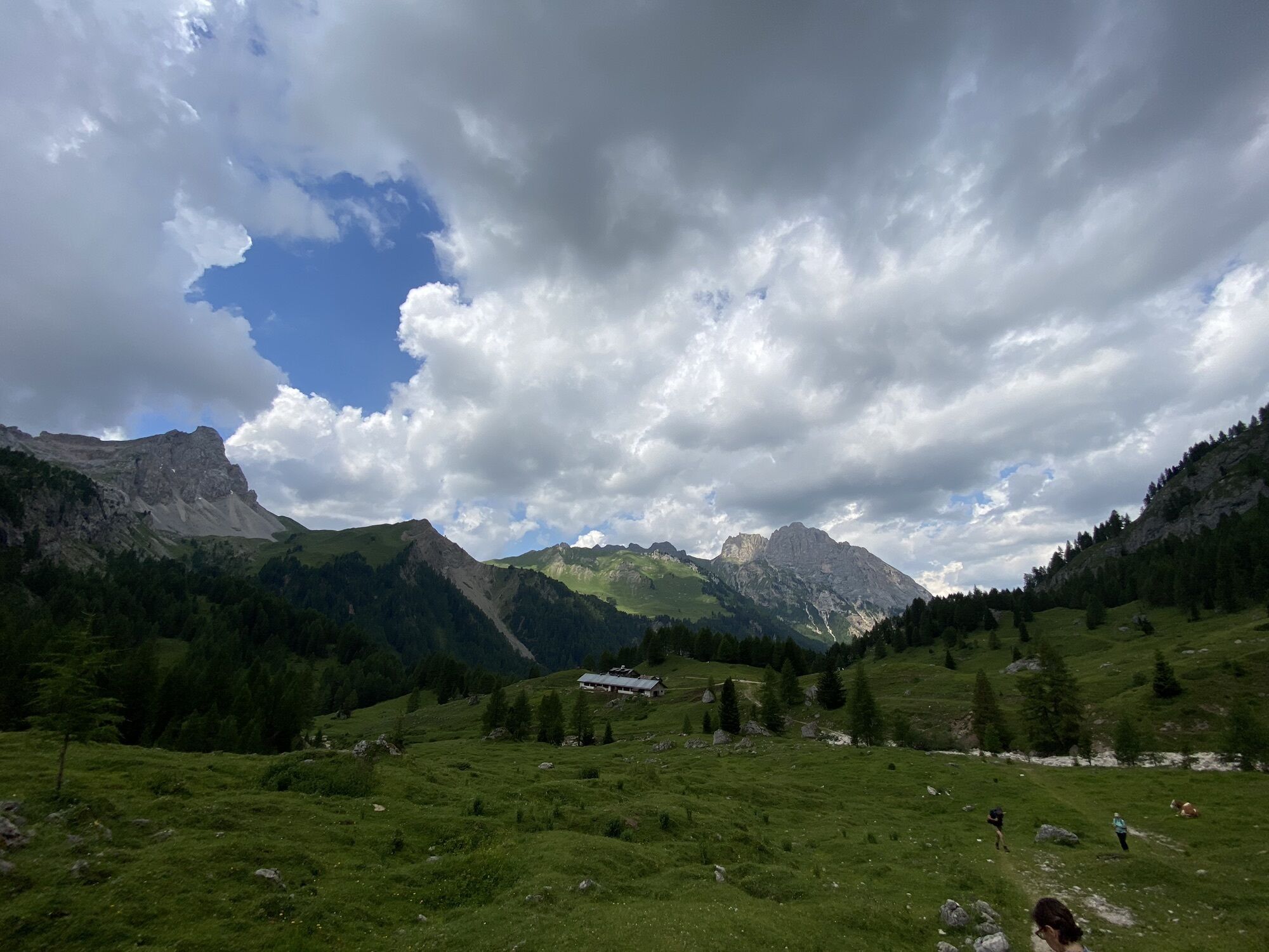
From Contrin Refuge start the ascent to the San Nicolò Pass through path no. 608. From here take path no. 613 where there are fortifications left from WW1 and afterwards on path no. 613/B, proceed to the "Sas de Ròces". Here you will have to go around to the south on the side of the San Nicolò Valley, where in certain places there is a metal safety cord. At "Sela Brunéch" go down through path no. 644 to Malga Jumela (dairy) and after a short while turn left on path no. 643, reaching later on the "Buffaure" area. From here, on path no. 613, walk up for the last part of the stage in order to reach Baita Cuz Refuge, where the overnight is planned.


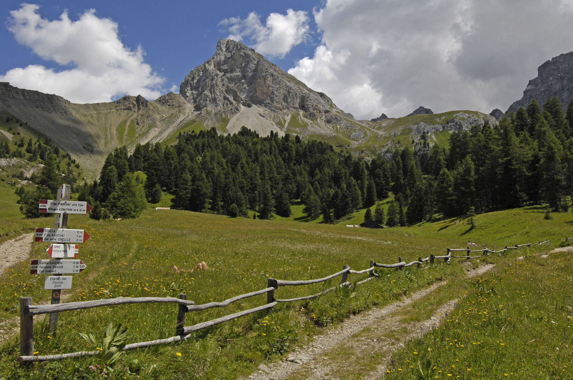


From Contrin Refuge start the ascent to the San Nicolò Pass through path no. 608.
At "Sela Brunéch" go down through path no. 644 to Malga Jumela (dairy) and after a short while turn left on path no. 643, reaching later on the "Buffaure" area. From here, on path no. 613, walk up for the last part of the stage in order to reach Baita Cuz Refuge, where the overnight is planned.
Ano
Ano
Wear adequate clothing, footwear and equipment suitable for the length and grade of difficulty of trail to be taken. Always try to be self-sufficient and carry with you the necessary to face possible emergency situations and a first aid kit.
1. Plan your excursion according to your skills and the weather.
2. Walk slowly, enjoy the landscape and the silence.
3. Inform somebody about your itinerary, return time and possible changes.
4. Rely on professionals (Alpine and local guides).
5. Help those in need. Call 112 only in case of real necessity.
6. Make sure you have suitable clothes and equipment + some water and snacks.
7. Respect the environment around you and its inhabitants. Bring back your rubbish.
8. Follow the marked trails avoiding those in the bike park.
9. To protect the wonders of nature, leave everything in its place.
10. Bring your pet along, but keep it on a leash.
exit Ora/Egna, S.S. 48 delle Dolomiti - Passo San Lugano - Val di Fiemme - Val di Fassa (distance km 45). From the Moena bypass (artisan area) towards Canazei Bolzano Nord exit, S.S. 241 Grande Strada delle Dolomiti - Passo Carezza - Vigo di Fassa (distance km 40). From Vigo northwards towards Canazei, southwards towards Soraga di Fassa and Moena
Other accesses to the Val di Fassa
from the A27 (Venice) motorway, exit Belluno/Ponte nelle Alpi, S.S. 203 for Agordo and S.P. 346 Passo San Pellegrino - Moena (Val di Fassa). From the Moena bypass towards Canazei from the A27 (Venice) motorway, exit Belluno/Ponte nelle Alpi, S.S. 203 for Agordo/Alleghe/Rocca Pietore. S.P. 641 Passo Fedaia - Canazei coming from Arabba, S.S. 48 Passo Pordoi - Canazei from Val Gardena, S.S. 242 Passo Sella - Canazei
line no. 101 Canazei - Cavalese - Trento line no. 104 Cavalese - Ora - Trento line no. 123 Moena - San Pellegrino Pass - Falcade
Public transport lines SAD - Val di Fassa: 
line no. 180 Vigo di Fassa - Carezza Pass - Bolzano
: 4 free and independent trekking tours of medium difficulty 3 overnight stays in a refuge, in a multiple room, with half board 1 cotton sleeping bag 1 day pass for the Canazei-Belvedere-Sass Pordoi lifts map of Val di Fassa trails
Tourist Board Val di Fassa
Strèda Roma, 36
38032 Canazei (TN)
Phone +39 0462 609500
info@fassa.com
www.fassa.com
Organised 4-day high altitude trekking, from refuge to refuge, to discover the most beautiful peaks of the Fassa Dolomites on foot.
The tour counts 4 stages on well-indicated CAI-SAT paths. From any point, it is possible to descend to the valley and, thanks to the shuttle service, the mountain lifts or the public means, easily get back to the departure.
Webové kamery z prohlídky
-
Ciampedie - Rosengarten
-
Ciampedie - Rosengarten
-
Ciampedie - Rosengarten
-
Ciampedie - Rosengarten
-
Ciampedie - Rosengarten
-
Ciampedie - Rosengarten
-
Ciampedie - Rosengarten
-
Ciampedie - Rosengarten
-
Canazei - Ciampac
-
Pozza di Fassa
-
Moena - San Pellegrino Pass / Chalet Isabella
-
Cima Uomo
-
Cima Uomo
-
Cima Uomo
-
Cima Uomo
-
Cima Uomo
-
Cima Uomo
-
Cima Uomo
-
Cima Uomo
-
Col de Valvacin
-
Col de Valvacin
-
Col de Valvacin
-
Col de Valvacin
-
Col de Valvacin
-
Col de Valvacin
-
Col de Valvacin
-
Col de Valvacin
Oblíbené prohlídky v okolí
-
4.8
Langkofel-Umrundung
středníTuristika 12.9 km -
4.7
Anello Passo Pordoi-Forcella P-Piz Boè
středníTuristika 10.6 km -
4.6
Pordoi Pass - Sass Pordoi - Forcella Pordoi - Piz Boè - Boè Refuge - Forcella Pordoi - Pordoi Pass
heavyTuristika 8.39 km -
4.4
Dolomiten Sellagruppe, Alb. Col di Lana, Sas de Pordoi, Piz Boé retour 22.06.2016
středníTuristika 5 km -
4.6
Umrundung Langkofel und Plattkofel, Gipfel Plattkofel
heavyTuristika 21.8 km -
4.9
Lang- und Plattkofel Umrundung
středníTuristika 17.5 km -
3.8
Der Friedrich-August-Weg
středníTuristika 10.4 km -
4.2
Rundwanderung Compatsch-Schlernhaus-Tierser Alpl
středníTuristika 21.2 km -
4.8
Sasslong Rundwanderung
středníTuristika 10.8 km -
4.8
Santnerpass Klettersteig
středníVia ferrata 8.29 km
Pěší turistika a stopování


Nenechte si ujít nabídky a inspiraci pro vaši příští dovolenou
Vaše e-mailová adresa byl přidán do poštovního seznamu.