


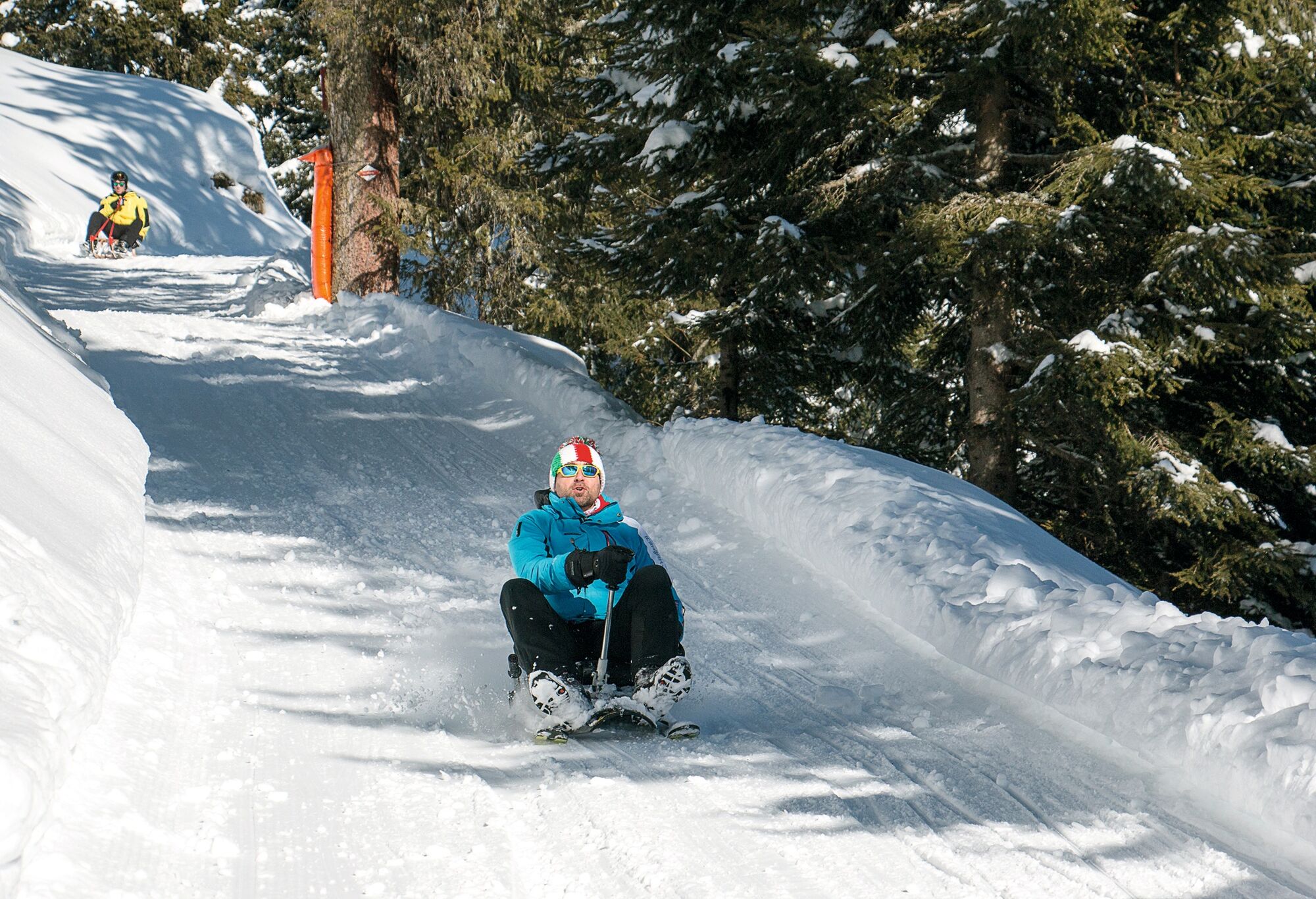
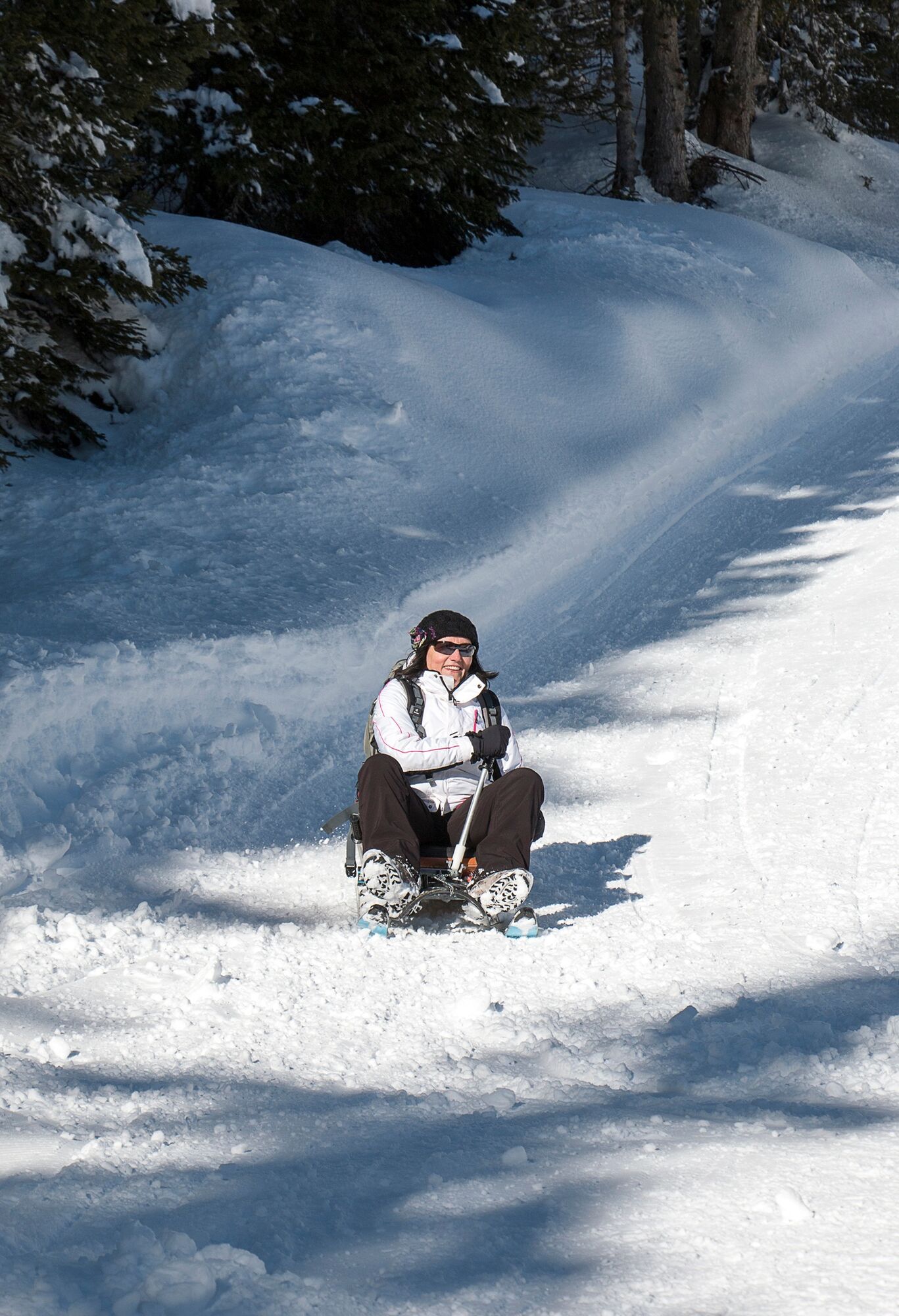
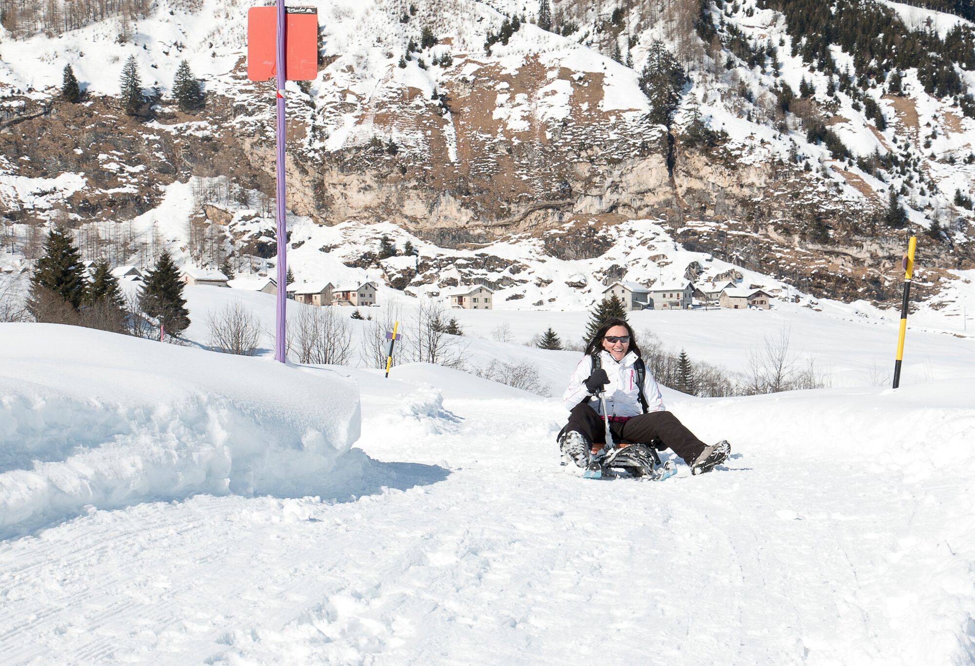
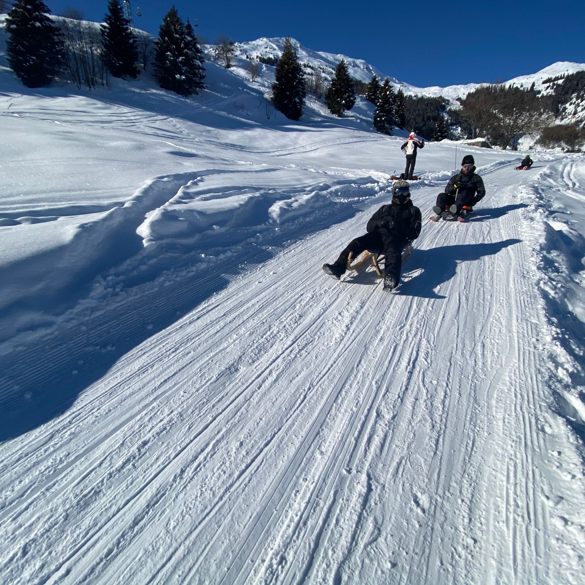
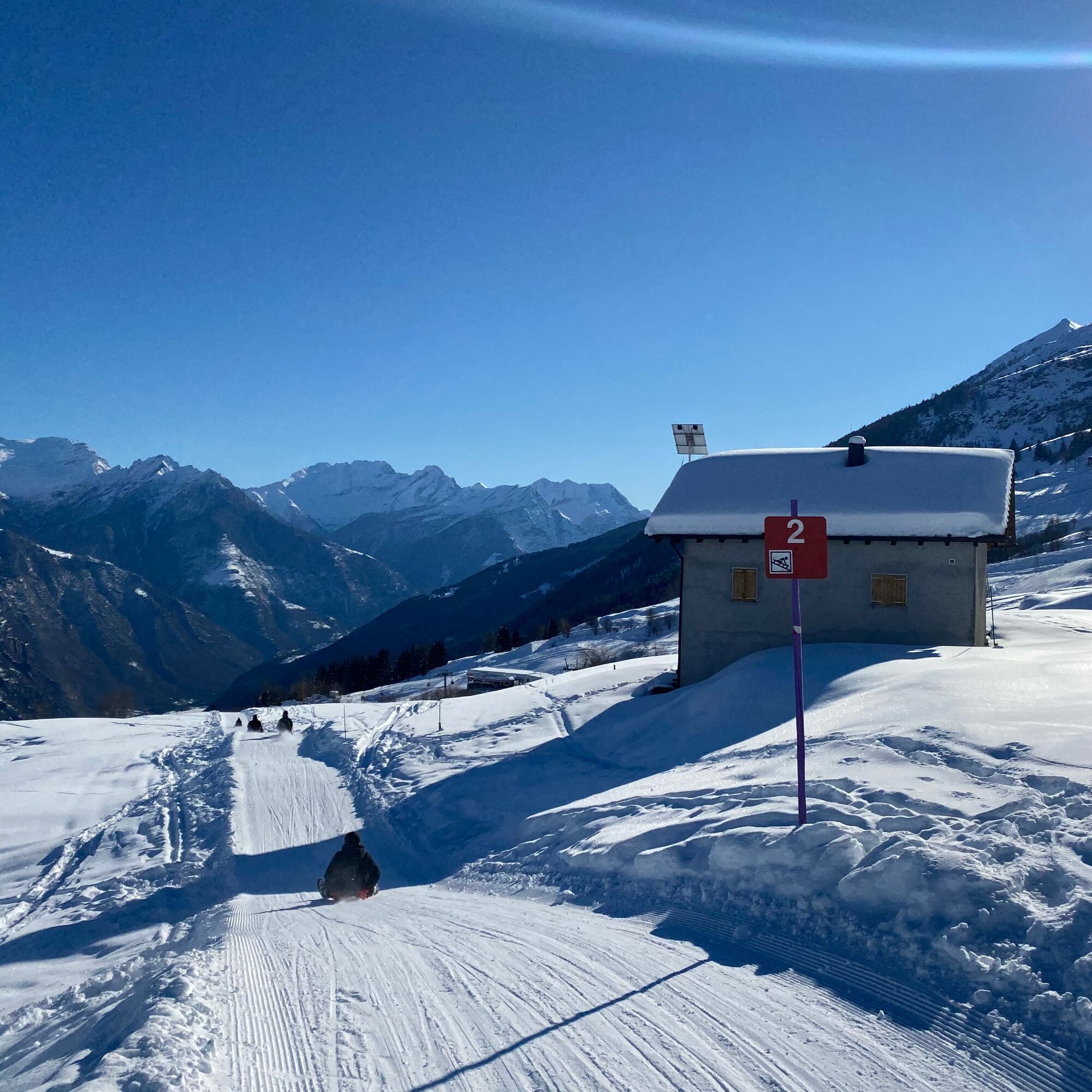
Track for sledges in Pian Nara - Cancori


From Leontica, going past the intermediate station of Cancorì by chairlift, you quickly reach the Bassa di Nara, at an altitude of nearly 2,000 metres. From the ridgetop, just between the Leventina Valley...
From Leontica, going past the intermediate station of Cancorì by chairlift, you quickly reach the Bassa di Nara, at an altitude of nearly 2,000 metres. From the ridgetop, just between the Leventina Valley and Blenio Valley, you will enjoy sweeping views from the Gotthard massif to the Pizzo Adula, which is the highest mountain in the Canton of Ticino, with a height of 3,402 metres.
The ski run, which is suitable for adults and children alike, ensures an unforgettable experience in total safety. Once you get to Cancorì, you may like to stop for a meal and catch your breath before you resume going down this most enjoyable trail.
Alternatively, if the snow conditions permit it, you can extend the downhill run for another five kilometres on a mountain road reserved for sledges, which leads to Leontica.
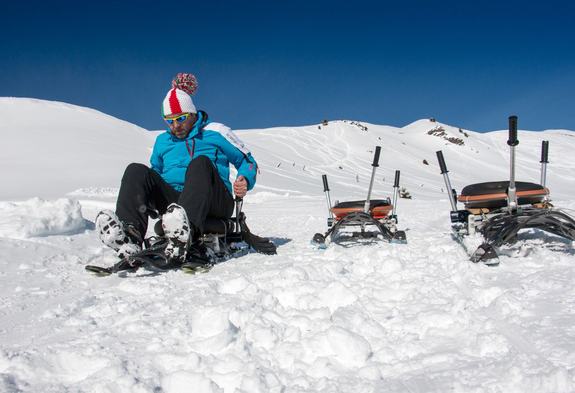
Sledge
Sun cup
Gloves
Sunglasses
Sun cream
Oblíbené prohlídky v okolí
-
Lukmanier Alps
středníTuristika 13.2 km -
5.0
lago retico
světloTuristika 9.81 km -
3-Tagestour Greina-Lucomagno: Capanna Bovarina - Lukmanierpass (Etappe 3)
středníTuristika 7.97 km -
Efra mountain lake trail
heavyTrailrunning 13.6 km -
Cima del Simano (2580 m)
Turistika 9 km -
5.0
Cusié > Capanna Quarei > Laghetto dei Cadabi > Alpe di poxxo > Cusié
středníTuristika 13.0 km -
5.0
Excursion to the Tremorgio and Morghirolo lakes
heavyTuristika 24.2 km -
Capanna Quarnei
světloTuristika 10.8 km -
4.7
The Source of the Brenno River
světloTuristika 6 km -
5.0
Cancorì Bike (SvizzerMobile 383)
heavyMountainbike 23.8 km
Pěší turistika a stopování


Nenechte si ujít nabídky a inspiraci pro vaši příští dovolenou
Vaše e-mailová adresa byl přidán do poštovního seznamu.