


SAUZE D'OULX ring Gran Villard - Croce Ghiotti
Úroveň obtížnosti: T2
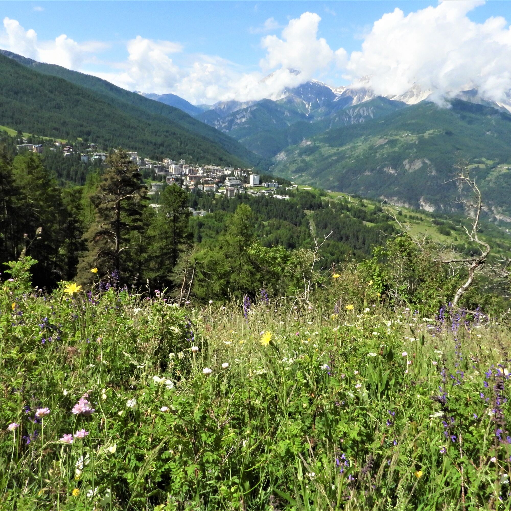
This loop trail leads to Croce Ghiotti, a viewpoint located just above the village of Monfol.
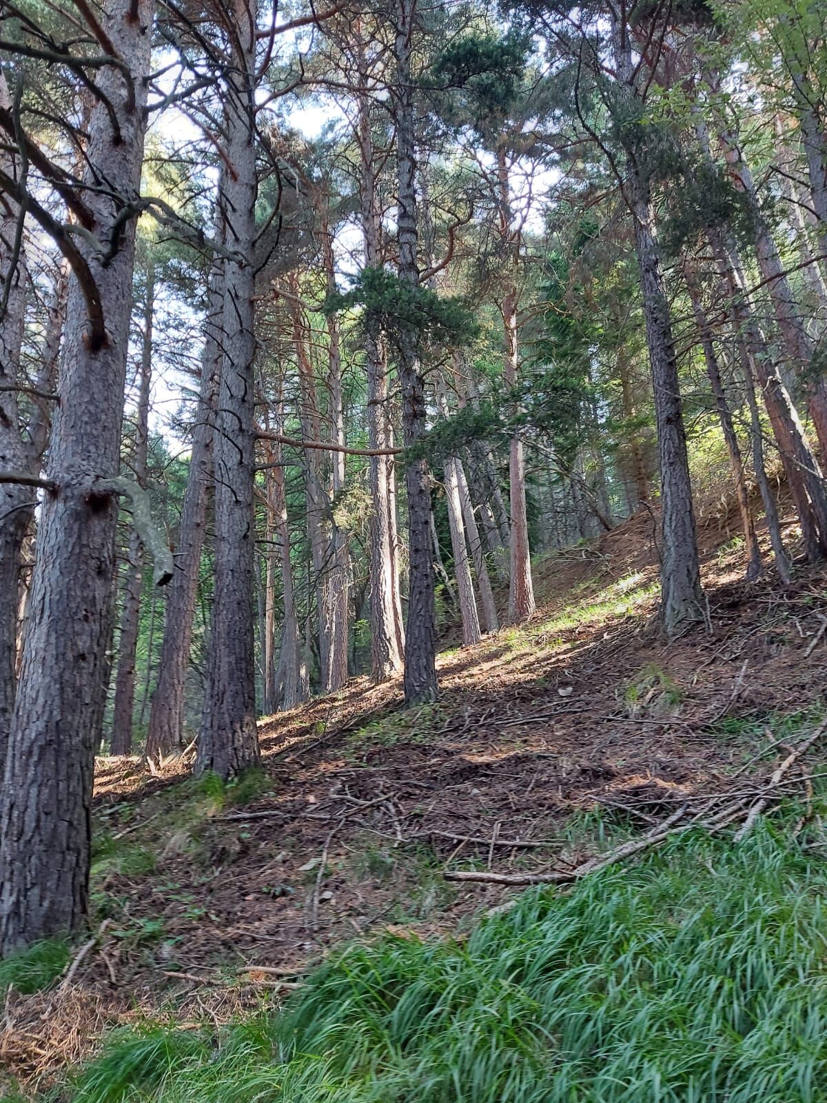
The first part of the route is on a dirt road with a moderate and steady slope, and then enters a thick spruce...
The first part of the route is on a dirt road with a moderate and steady slope, and then enters a thick spruce forest. In this section the terrain has surfacing roots that can make the walk slightly more challenging.
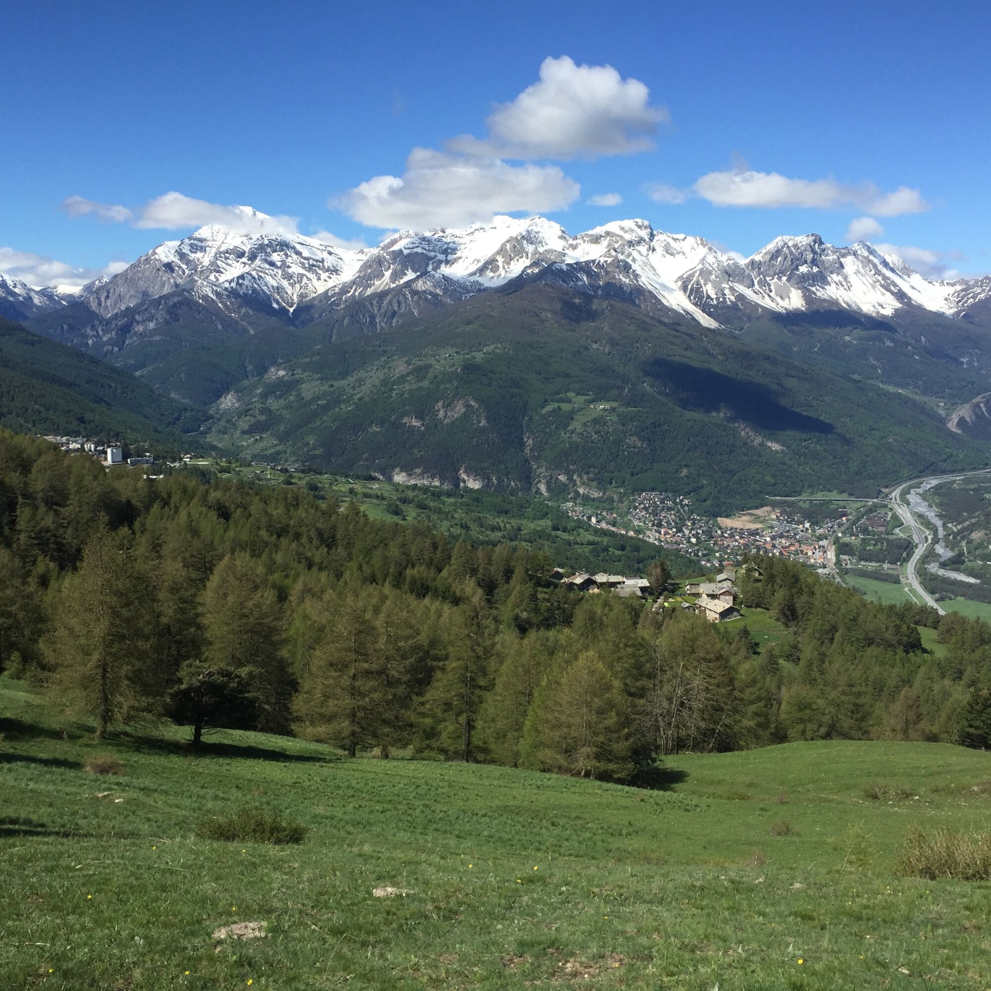
Once past the forest, the trail loses altitude slightly until it reaches Monfol, where the small church of San Bartolomeo is located. Crossing the ancient village, take Natural Park Trail No. 6, which leads to Croce Ghiotti. After a stop to admire the view, continue along the Park forest road, following it downhill to the Ser Blanc rest area and then back to Monfol.
Note: To make the climb less challenging, it is possible to walk the route in the opposite direction.
A few meters beyond the last houses of Monfol, on the right, is the entrance to Park Trail No. 3, coming from Gad. The descent, steep and with a sometimes slippery surface due to pine cones, requires some attention. After about 350 meters, on the left, is the entrance to Trail No. 4, which leads back to Gran Villard.
Support and technical description by Barbara Demonte - Environmental hiking guide.
The entrance to the trail is on the right side of the road leading to Monfol, just after the access area to the pond. Near the new huts, turn right onto a road that is initially paved for a short distance. Then continue on a dirt road for a little more than 1 km, with a moderate and steady slope, to the Souberaine locality (1,680 m), where there is a renovated chalet and the ruins of old houses.
Here, at the fork with a bench, take a left and follow trail No. 2 in the direction of Monfol. After crossing a wide viewpoint and a dense spruce forest, intercept trail No. 3 coming from Gad. Turn left downhill and, after about 100 meters, past a wooden fountain, you reach Monfol.
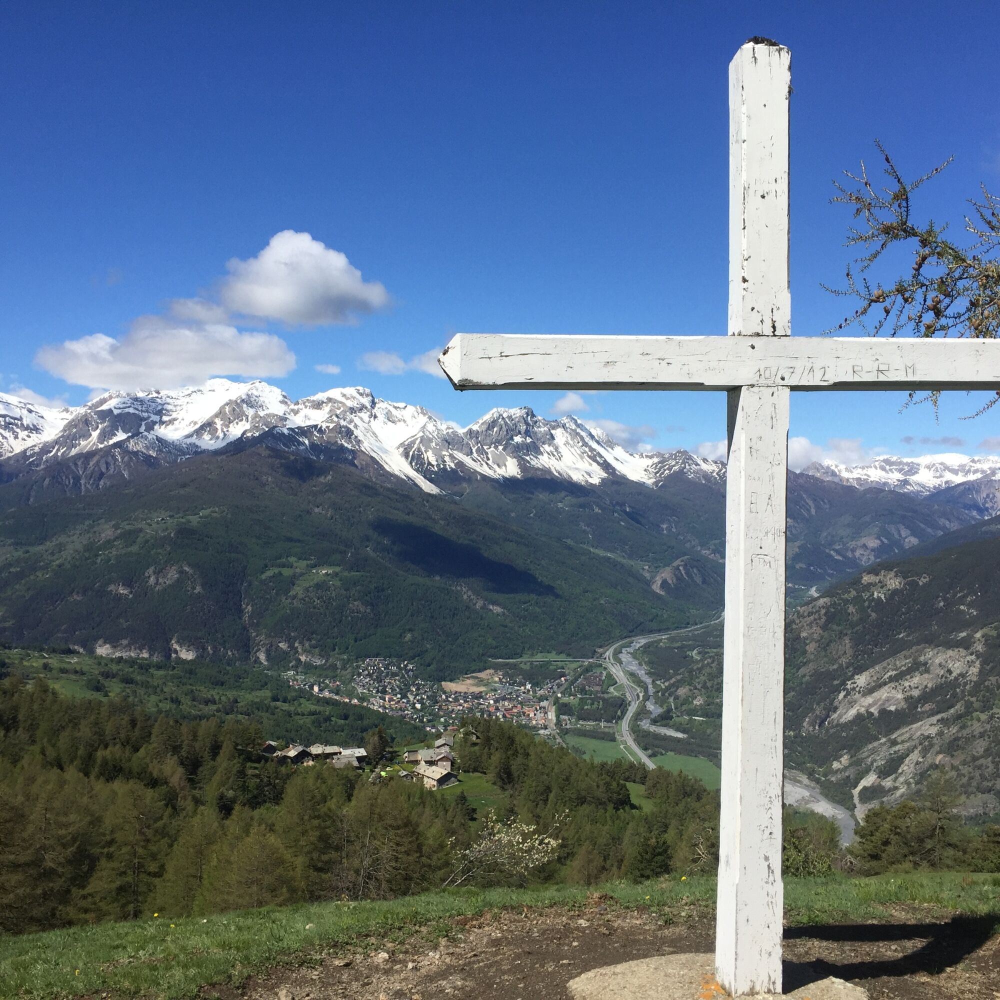
Near the small church, turn right and go through the whole village. Shortly after the fountain, take path No. 6 on the right again and continue uphill to the white cross. Past the cross, descend slightly to the left until you reach the Gran Bosco Park forest road.
Follow the forest road downhill to the Ser Blanc rest area and then back to Monfol. A few meters after the last houses, on the left, is the access to Park Trail No. 3 coming from Gad. Take the path downhill and, after about 350 meters, take trail No. 4 on the left.
From here the trail continues on terrain with slight ups and downs until a short steep climb. When you reach a plateau, where on the left you meet the path coming from the Belvedere delle Sellette, continue straight ahead on the flat until you reach the paved road. Turn right downhill and, shortly after, return to the starting point.
Wear appropriate clothing and footwear for the environment and season.
From Turin to follow the signs for Tangenziale Nord in the direction of Trafori - Frejus. Then take the A32 freeway in the direction of Bardonecchia and exit the freeway at the Oulx ring road sign in the direction of Monginevro Sestriere. At the exit of the tunnel, continue to the left in the direction of Sauze d'Oulx.
Train from Turin P.N to Bardonecchia (Oulx-Cesana-Claviere-Sestriere stop)
Bus Arriva line 285 from Oulx to Sauze d'Oulx
Loc. Gran Villard Laghetto
T2
Do not throw garbage into the environment but take it with you picking up any garbage left by others.
The hiking times given are approximate and may vary depending on weather conditions and your own ability.
Fountains at Monfol.
Webové kamery z prohlídky
Oblíbené prohlídky v okolí
- 5.0
BARDONECCHIA Colle Sommeiller
středníMountainbike 25.4 km - 5.0
BARDONECCHIA Forte Jafferau Loop
heavyMountainbike 36.8 km - 5.0
BARDONECCHIA Decauville
středníTuristika 7.29 km - 5.0
BARDONECCHIA Col des Acles - Passo della Mulattiera
středníTuristika 6.23 km - 5.0
SESTRIERE Monte Rognosa
heavyTuristika 6.42 km BARDONECCHIA Monte Jafferau
heavyTuristika 11.6 kmBARDONECCHIA - Loop Colle della Scala - Col de Montgenèvre - Colle del Sestriere
heavySilniční kolo 91.9 km- 5.0
CESANA T.SE Cesana - Fenils
světloTuristika 4.60 km - 5.0
CESANA T.SE Thures - Cima Bosco
heavySněžnice 3.94 km - 4.0
BARDONECCHIA Sentiero dei Cosetti by Luciano Ferraris
světloTuristika 3.24 km
Pěší turistika a stopování


Nenechte si ujít nabídky a inspiraci pro vaši příští dovolenou
Vaše e-mailová adresa byl přidán do poštovního seznamu.