


The Roads of the Forts - stage 2 from Cavour to Pinerolo


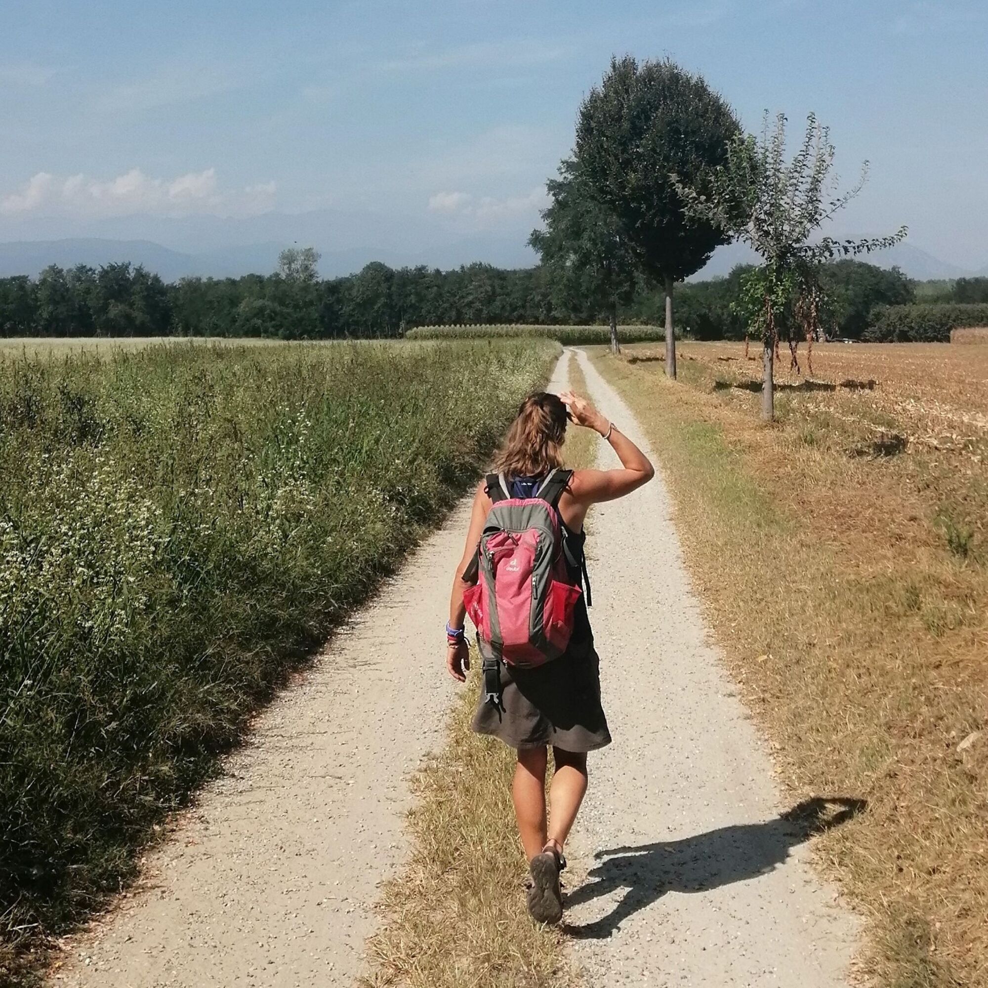
This stage could be considered of difficulty level T (= Tourist) were it not for its length. It is a flat route with a small elevation gain through the apple orchards typical of this area of Pinerolo.
...This stage could be considered of difficulty level T (= Tourist) were it not for its length. It is a flat route with a small elevation gain through the apple orchards typical of this area of Pinerolo.
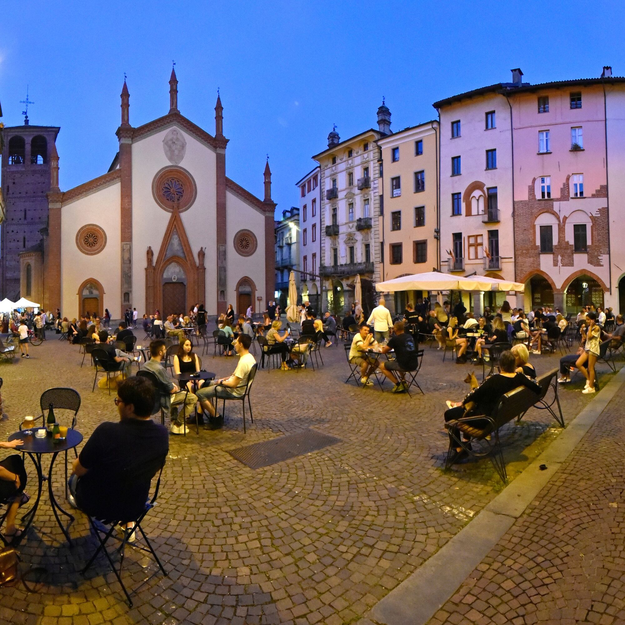
The point of arrival is Pinerolo, touching first the Sanctuary of Montebruno (in Garzigliana) and then Macello with its imposing castle.

From the Casaforte degli Acaja in Cavour take Via Roma, then turn right into Via Vigone, pass in front of the schools and then take Via Nuova, which passes by Babano parallel to the provincial road, then Via del Boschetto to the left, reaching the provincial road in the Case Nuove region.
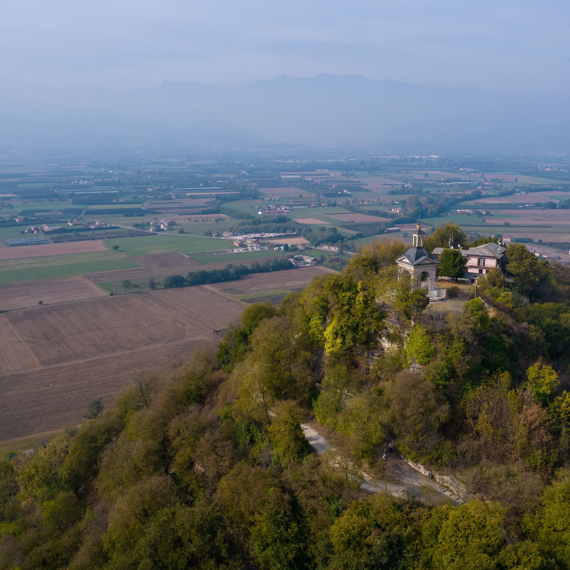
Afterwards the track returns to the main road again and, with a short diversions of a few minutes, you can reach the Sanctuary of Montebruno
Then retracing your steps, take Via Umberto I and continue in the direction of Garzigliana, a small village surrounded by wheat fields. Here you will also find a water distributor where you can refill your water bottles. After leaving the village, turn right towards Macello, which will be the next destination. We face a short climb that leads to the bridge that crosses the Chisone stream and, with a bit of luck, it is possible to observe birdlife here.
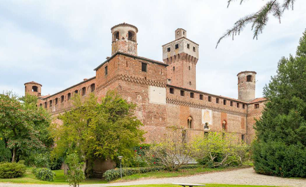
At Macello, a stop in the village is suggested, to admire the castle.
We then reach the hamlet of Baudenasca and, soon, Park and Villa Il TorrioneA historic residence of great artistic value, it is surrounded by a large Italian garden with centuries-old trees and a fine collection of hydrangeas.
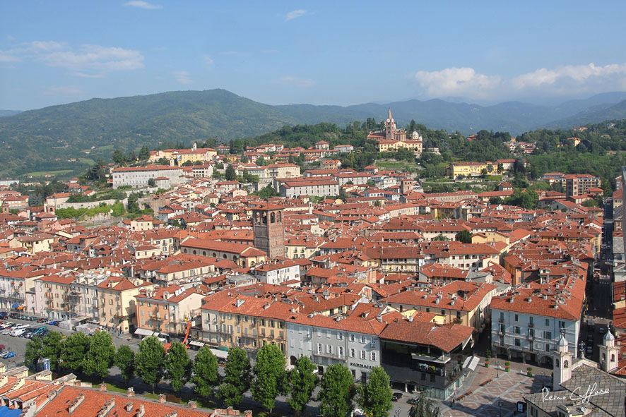
Once past the flyover, you are already in Pinerolo and you are almost on the home straight: you leave the main road to turn onto Via Achille Midana and skirt the verdant park, turning right at the end of the street. Take Corso Torino and continue towards the centre.
A diversion to the right into Via Ernesto Bosio takes you to the train station and bus terminus (to/from Turin and the valleys).
Ano
Appropriate clothing and equipment are recommended.
Water points in Cavour, Garzigliana, Pinerolo.
By bus www.cavourese.it
There are several public car parks in the centre of Cavour.
Before embarking on any excursion, it is advisable to consult weather bulletins or ask the local tourist offices for information.
It is good practice not to undertake a hike alone, always inform yourself of your destination.
Do not throw rubbish into the environment but take it with you, picking up any rubbish left by others.
The hiking times given are approximate and may vary depending on weather conditions and your own abilities.
Along the way, you will come across numerous farms where you can get a healthy country snack!
Oblíbené prohlídky v okolí
ROLETTO Upslowtour - Foothills Loop 15
heavyJízda na kole30,0 kmLUSERNA S. G. Upslowtour - Luserna Stone Loop 9
středníJízda na kole38,1 kmWalk of the Freedom Lighthouse
světloTuristika3,60 kmBRICHERASIO Upslowtour - Loop 13 of the Ridges
středníJízda na kole38,2 kmGrand Tour UNESCO Stage 4 | From Racconigi to Avigliana
heavyCyklistika na velkou vzdálenost134,5 kmToward Canada
středníTuristika15,2 kmPath of the Charcoal Piles Eco-museum
světloTuristika7,46 kmPath of Winged People
středníTuristika7,65 kmFrom Lusernetta to Villafranca
světloMountainbike56,4 km12. Valley Floor Loop
světloJízda na kole55,2 km
Pěší turistika a stopování


Nenechte si ujít nabídky a inspiraci pro vaši příští dovolenou
Vaše e-mailová adresa byl přidán do poštovního seznamu.