


The Vallone della Lioussa - Chiot la Sella


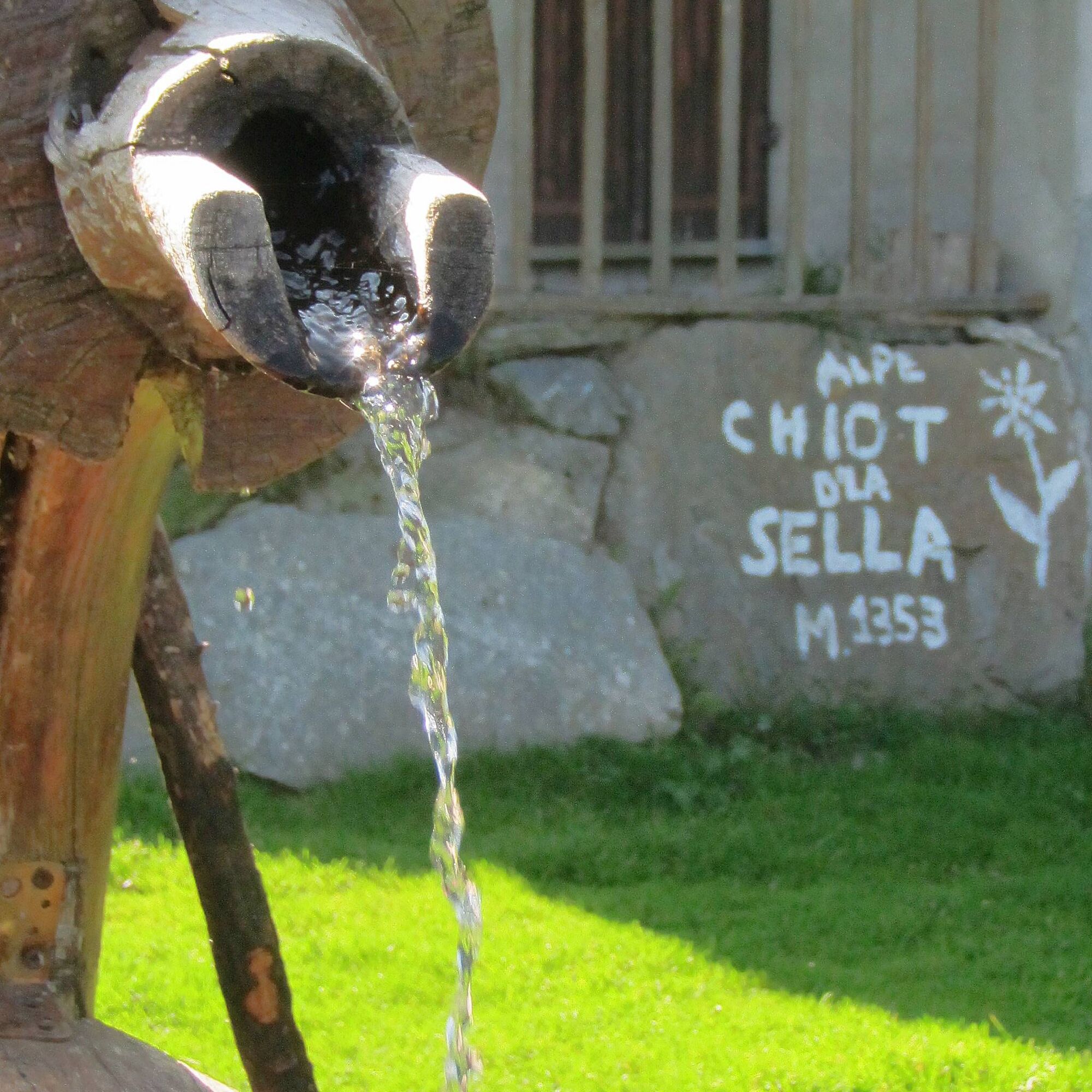
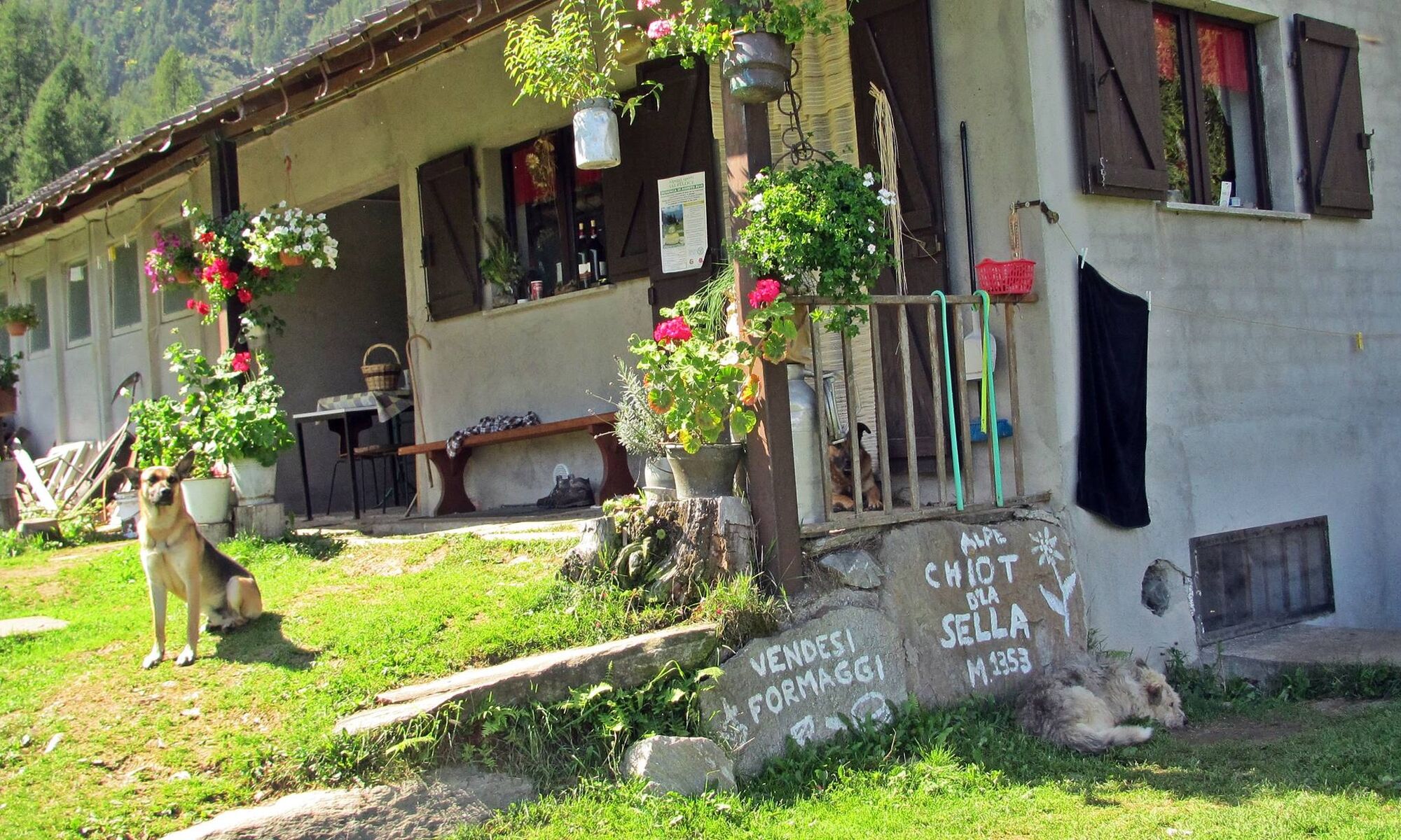
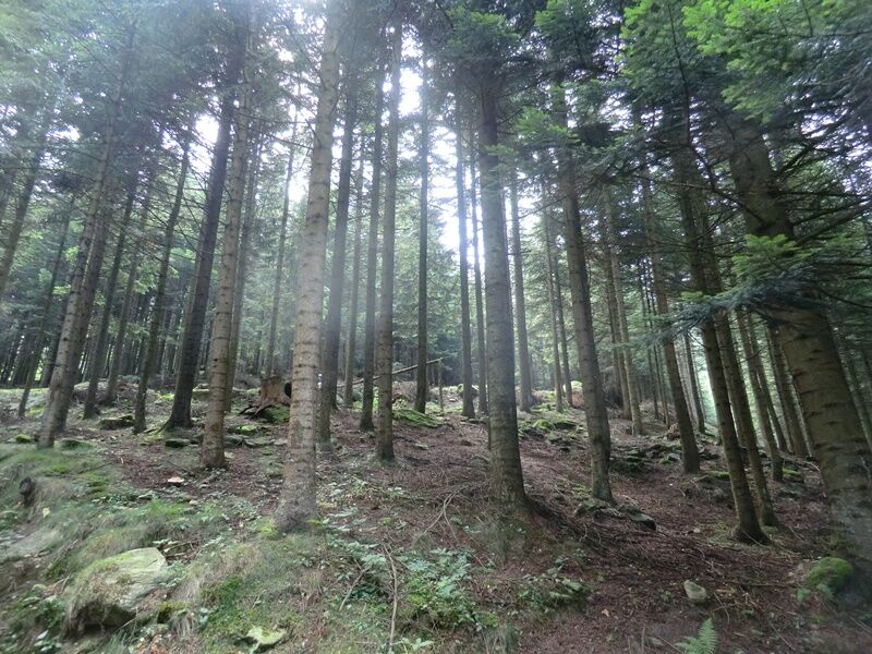
Chiot la Sella is in fact located in the upper Lioussa valley, in the heart of the very green northern slope of Mt. Frioland, on a grassy plateau surrounded by dense larch and beech forests, rich in water...
Chiot la Sella is in fact located in the upper Lioussa valley, in the heart of the very green northern slope of Mt. Frioland, on a grassy plateau surrounded by dense larch and beech forests, rich in water and springs.
The entire trail is on a dirt road and therefore presents no difficulty.
The trail is indicated by white/red trail markers and arrows with a fox logo.

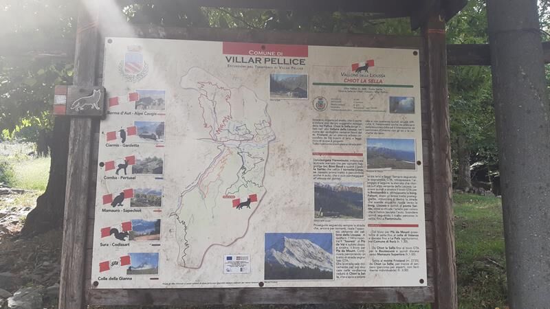

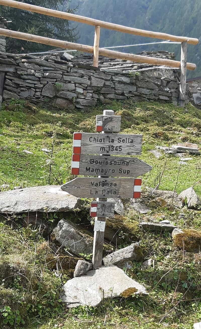
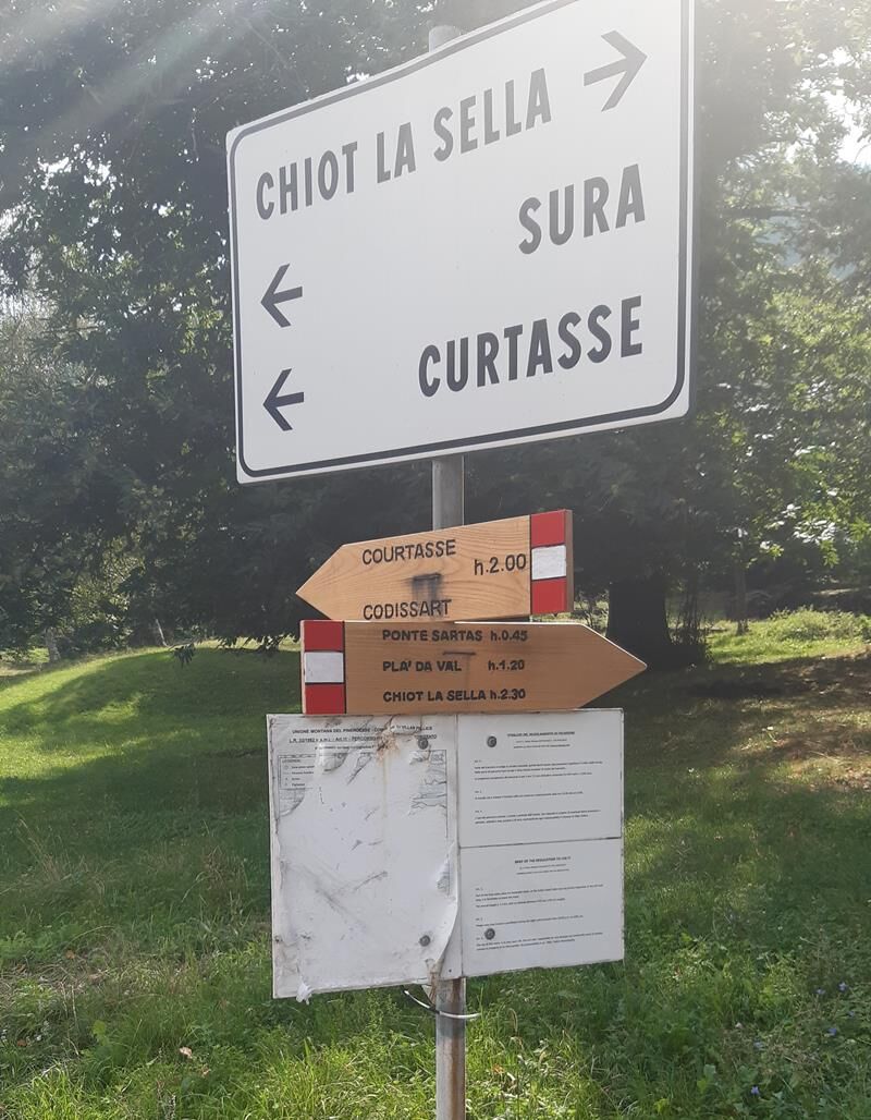
From the hamlet of Fiemminuto, take the dirt road that by hairpin bends reaches Bosc Baud locality and then the Sartàs bridge that crosses the Lioussa stream (this first stretch is also passable by car). Continue following the road up the opposite side of the Lioussa valley. At an altitude of 1140 m you will meet the "fourest" of Plà da Val and immediately afterwards, on the left, the fork to Plà da Mount. Now the road climbs gently and then comes out in the very green clearing of Chiot la Sella, which opens surprisingly between larch and beech trees. Still following the signs, go past the pasture and follow the dirt road back to the other side of the Lioussa. Then leave the fork to Bouissounà on the left and, past the Falconi hamlet, take the road that descends steeply to the Lioussa hamlet and then to the Sartàs bridge. Then descend, following the section traveled uphill, to Fiemminuto.
Ano
Appropriate clothing and equipment are recommended.
Getting to Villar Pellice is easy, following the A55 to Pinerolo, for those coming from Turin. Near Pinerolo, follow the signs for Val Pellice and, then, for Villar Pellice.
By bus
www.cavourese.it
At the Fienminuto township, there are a number of parking spaces.
Before embarking on any excursion, it is advisable to consult weather reports or ask for information at local Tourism Offices.
It is good practice not to embark on a hike alone, always notify your destination.
Do not throw garbage into the environment but take it with you, picking up any garbage left by others.
The hiking times given are approximate and may vary depending on weather conditions and your own ability.
It is also interesting in winter to walk on skis or snowshoes.
Oblíbené prohlídky v okolí
- 5.0
BOBBIO PELLICE Upslowtour - Loop 2 of the refuges
heavyJízda na kole37.6 km PRALI Ring of Rocca Bianca
heavyMountainbike17.9 kmPERRERO The lakes of Conca Cialancia
heavyMountainbike21.6 kmPRALI Thirteen Lakes - Giulian Hill - Villanova
středníMountainbike19.0 kmLUSERNA S. G. Upslowtour - Luserna Stone Loop 9
středníJízda na kole38.1 kmFrom Torre Pellice to Bars d'la tajola (and Mount Castlus).
středníTuristika4.40 kmPath of the Invincibles
středníTuristika19.1 kmWalk of the Freedom Lighthouse
světloTuristika3.60 kmBRICHERASIO Upslowtour - Loop 13 of the Ridges
středníJízda na kole38.2 kmVILLAR PELLICE Upslowtour - Invincibles Loop 5
středníJízda na kole17.7 km
Pěší turistika a stopování


Nenechte si ujít nabídky a inspiraci pro vaši příští dovolenou
Vaše e-mailová adresa byl přidán do poštovního seznamu.