


Tour of mount Vandalino


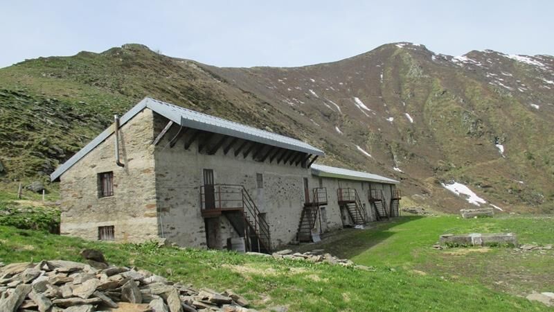
After reaching the hamlet of Sea following the road that climbs from Torre Pellice, the tour continues on the dirt road on the left which reaches Alpe Vandalino (alpine pasture) at an altitude of 1778...
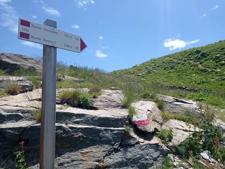
After reaching the hamlet of Sea following the road that climbs from Torre Pellice, the tour continues on the dirt road on the left which reaches Alpe Vandalino (alpine pasture) at an altitude of 1778 m. From here, behind the mountain huts, a comfortable and well-marked path begins in a W-S-W direction (uphill). It leads to a grassy crest and then to the traditional peak marked by a large cairn. The actual summit is the point that can be seen on the ridge towards the Vantacul, which you can reach by continuing on the path that first descends slightly and then climbs directly to the point.


Appropriate clothing and equipment recommended.
Cyclability:
Oblíbené prohlídky v okolí
-
5.0
BOBBIO PELLICE Upslowtour - Loop 2 of the refuges
heavyJízda na kole 37.6 km -
The Roads of the Forts - stage 11 from Massello to Prali
heavyTuristika 13.7 km -
PRALI Ring of Rocca Bianca
heavyMountainbike 17.9 km -
PERRERO The lakes of Conca Cialancia
heavyMountainbike 21.6 km -
PRALI Thirteen Lakes - Giulian Hill - Villanova
středníMountainbike 19.0 km -
ROLETTO Upslowtour - Foothills Loop 15
heavyJízda na kole 30.0 km -
LUSERNA S. G. Upslowtour - Luserna Stone Loop 9
středníJízda na kole 38.1 km -
PINASCA Ring of Grandubbione
středníJízda na kole 28.8 km -
From Torre Pellice to Bars d'la tajola (and Mount Castlus).
středníTuristika 4.40 km -
Path of the Invincibles
středníTuristika 19.1 km
Pěší turistika a stopování


Nenechte si ujít nabídky a inspiraci pro vaši příští dovolenou
Vaše e-mailová adresa byl přidán do poštovního seznamu.