


Tour 3 refuges - stage 2


Near the fountain at the Amprimo Refuge, follow the signs for path 510, which climbs up the fir-tree basin towards the Balmetta mountain pasture (1515m), where the panorama opens out onto the meadowy and...
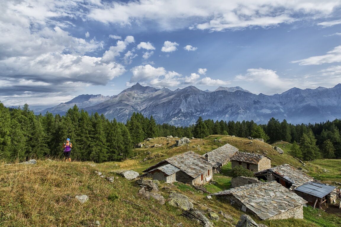
Near the fountain at the Amprimo Refuge, follow the signs for path 510, which climbs up the fir-tree basin towards the Balmetta mountain pasture (1515m), where the panorama opens out onto the meadowy and pastureland basin dominated to the south by the Orsiera Rocciavrè and following the Rio Gerardo at times, you reach the Toesca refuge on a narrower path.This is an excellent starting point for exploring the peaks in the surroundings: Punta Gavia, Punta PIan Paris, the Villano and Punta Cristalliera.
.

Follow the red and white signs for path 510.
.
Oblíbené prohlídky v okolí
- 4.7
Rocciamelone partedjo dalla Riposa. Mompantero, Piemont/Italien
středníTuristika10.6 km TOUR OF THE THREE REFUGEES -Amprimo - Toesca - Val Gravio
heavyTuristika17 kmThe Roads of the Forts - stage 6 from Perosa Argentina to Fenestrelle
heavyTuristika18.7 kmPEROSA ARGENTINA Dahu Trail
heavyMountainbike44.2 kmTurlo lakes loop from Malciaussia
středníTuristika9.49 kmGoldtoni - Alpenbogen A117 Susa-Lago di Malciaussia
střednídálková pěší trasa24.7 kmGoldtoni - Alpenbogen A116 Lago di Laux-Susa
světlodálková pěší trasa23.9 kmFENESTRELLE by MTB to the Refuge Selleries
středníJízda na kole16.0 kmThe Roads of the Forts - stage 8 from Pian dell'Alpe to Casa Assietta
heavyTuristika18.8 kmVALSUSA_VAL CHISONE - Sulle strade delle leggende - Il Colle delle Finestre
heavySilniční kolo130.8 km
Pěší turistika a stopování


Nenechte si ujít nabídky a inspiraci pro vaši příští dovolenou
Vaše e-mailová adresa byl přidán do poštovního seznamu.