


BARDONECCHIA Forte Bramafam


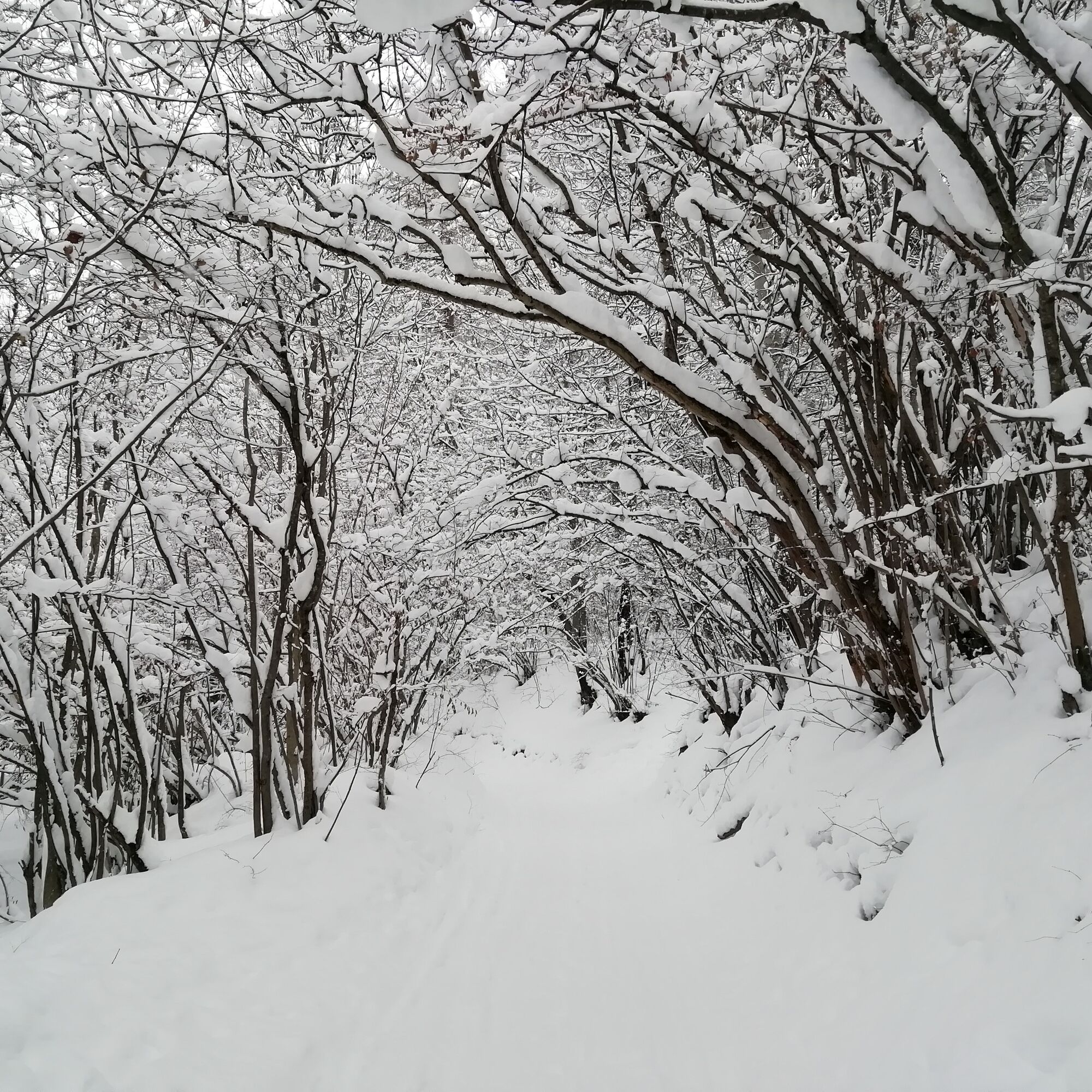
The route starts at Camp Smith and follows the Melezet Stream and then climbs through dense coniferous forest until it reaches the flat clearing of St. Anne's Chapel and finally Fort Bramafam.
Some sections...
The route starts at Camp Smith and follows the Melezet Stream and then climbs through dense coniferous forest until it reaches the flat clearing of St. Anne's Chapel and finally Fort Bramafam.
Some sections of the trail are quite steep, but their brevity makes the hike suitable even for the inexperienced.

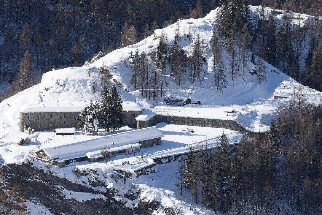
From Campo Smith take the Natale Bosticco trail that starts at the bottom of the dirt parking lot of the ski lifts and briefly skirts the Melezet Stream. After a few hundred meters take the path on the right that climbs through dense forest until you quickly reach theQuattro Strade junction; from here turn left onto the dirt road that leads to the Sant'Anna Chapel and left again to the Bramafam Fort.
Clothing and footwear appropriate for the winter mountain environment.
Snowshoes - poles - ARVA - Shovel - Probe (hiking in snowy environments requires the use of electronic signaling and search systems as required by Legislative Decree No. 40/2021 Article 26)
Before embarking on any hike, it is recommended to:
- inquire at tourist offices or mountain guides
- consult ARPA Piemonte weather and avalanche bulletins at www.arpa.piemonte.it/bollettini.
In case of marked avalanche danger, it is not recommended to undertake any hike.
The indicated trails are beaten only by the passage of people on foot: there is no mechanical, daily or periodic maintenance and beating service.
By car from Bardonecchia head toward the hamlets of Les Arnauds and Melezet to Campo Smith.
From La Betulla Hotel (100m from the train station) take the free shuttle of Circular 2, Line 3 or Line 4 to Campo Smith.
For shuttle schedules click here.
There are several free parking lots at Camp Smith.
Bring water with you; there is a wooden fountain near St. Anne Chapel from which no water comes out in winter
In winter the Bramafam Fort is closed so only the outer walls can be seen.
Oblíbené prohlídky v okolí
- 5.0
BARDONECCHIA Colle Sommeiller
středníMountainbike25.4 km - 5.0
BARDONECCHIA Decauville
světloTuristika7.29 km - 5.0
BARDONECCHIA Lago Verde
středníTuristika4.14 km - 5.0
BARDONECCHIA Col des Acles - Passo della Mulattiera
heavyTuristika6.57 km - 4.5
BARDONECCHIA Sentiero Walter Bonatti - Grange della Rho
středníTuristika6.12 km - 5.0
CESANA T.SE To Fenils (No. 48)
světloTuristika4.29 km - 5.0
BARDONECCHIA Forte Jafferau Ring
heavyMountainbike36.8 km BARDONECCHIA Punta Quattro Sorelle
heavyTuristika8.69 kmBARDONECCHIA Monte Thabor
heavyTuristika8.82 kmBARDONECCHIA Punta Colomion - Passo della Mulattiera - Pian del Colle Ring
heavyMountainbike25.1 km
Pěší turistika a stopování


Nenechte si ujít nabídky a inspiraci pro vaši příští dovolenou
Vaše e-mailová adresa byl přidán do poštovního seznamu.