


Cammino di Don Bosco: Stage 5 Tetti Chiaffredo - Colle Don Bosco


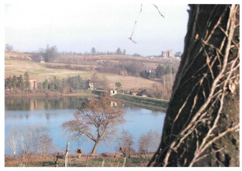
Near Cascina Rivolasso, cross the provincial road SP Moncucco-Arignano and take the road that goes slightly downhill towards the stream. Continue as far as the meeting with the road that takes from the...
Near Cascina Rivolasso, cross the provincial road SP Moncucco-Arignano and take the road that goes slightly downhill towards the stream. Continue as far as the meeting with the road that takes from the hamlet of Barbaso to Mombello di Torino. Crossed the road, descend towards the valley floor along a stream. The road becomes paved and you reach Cascina Moglia. From here, continue for approx. 3300 m and then turn right at Cascina Rivolasso. You meet the route that arrives from Moncucco Torinese. Continue straight on, as far as the open space close to a crossroads where you will go straight on along the road that becomes a small trail. Continue as far as the crossroads with another road that leads to the Country Church of San Rocco. Continue on, until it meets provincial road SP119 that from Moriondo Torinese takes to Castelnuovo Don Bosco. Continue on the road for approx. 100 m where it turns towards Castelnuovo close to the Croce Rossa premises. After 2 km, you meet the provincial road that from Castelnuovo leads to Buttigliera dAsti. Turn right, cross the provincial road and take a road that goes slightly downhill and follows the course of the Valley stream. It deviates along a shared access road and goes up towards Serra of Buttigliera dAsti. Turn left and cross the village. Continue to Cascina Mainito, which has become a riding school. Continue for 300 m as far as provincial road SP33 for Capriglio. Turn left, and follow it for a short section. Take the trail that goes up towards the Colle.

Ano
Oblíbené prohlídky v okolí
-
GRAND TOUR of the Turin Beyond Hill in 4 stages.
heavyCyklistika na velkou vzdálenost 228.0 km -
Cycling between Andezeno and Pino Torinese
středníJízda na kole 35.0 km -
Cycling between Arignano, Moriondo and Mombello
středníCyklistika na velkou vzdálenost 28.1 km -
In MBT around Cambiano and Riva presso Chieri (TO)
světloJízda na kole 22.8 km -
CHIERI - Anello nei dintorni
středníJízda na kole 24.4 km -
Mountain biking around Chieri (TO)
středníJízda na kole 32.9 km -
CHIERI - Anello verso Riva presso Chieri
Jízda na kole 32.5 km -
CHIERI - Tra vigneti, colline e storia verso l'Abbazia di Vezzolano
středníSilniční kolo 58.6 km -
Cycling between Chieri, Cambiano and Riva presso Chieri
světloCyklistika na velkou vzdálenost 26.8 km -
CASALBORGONE - Bosc Grand e Bosco del Vaj in MTB
středníMountainbike 22.6 km
Pěší turistika a stopování


Nenechte si ujít nabídky a inspiraci pro vaši příští dovolenou
Vaše e-mailová adresa byl přidán do poštovního seznamu.