


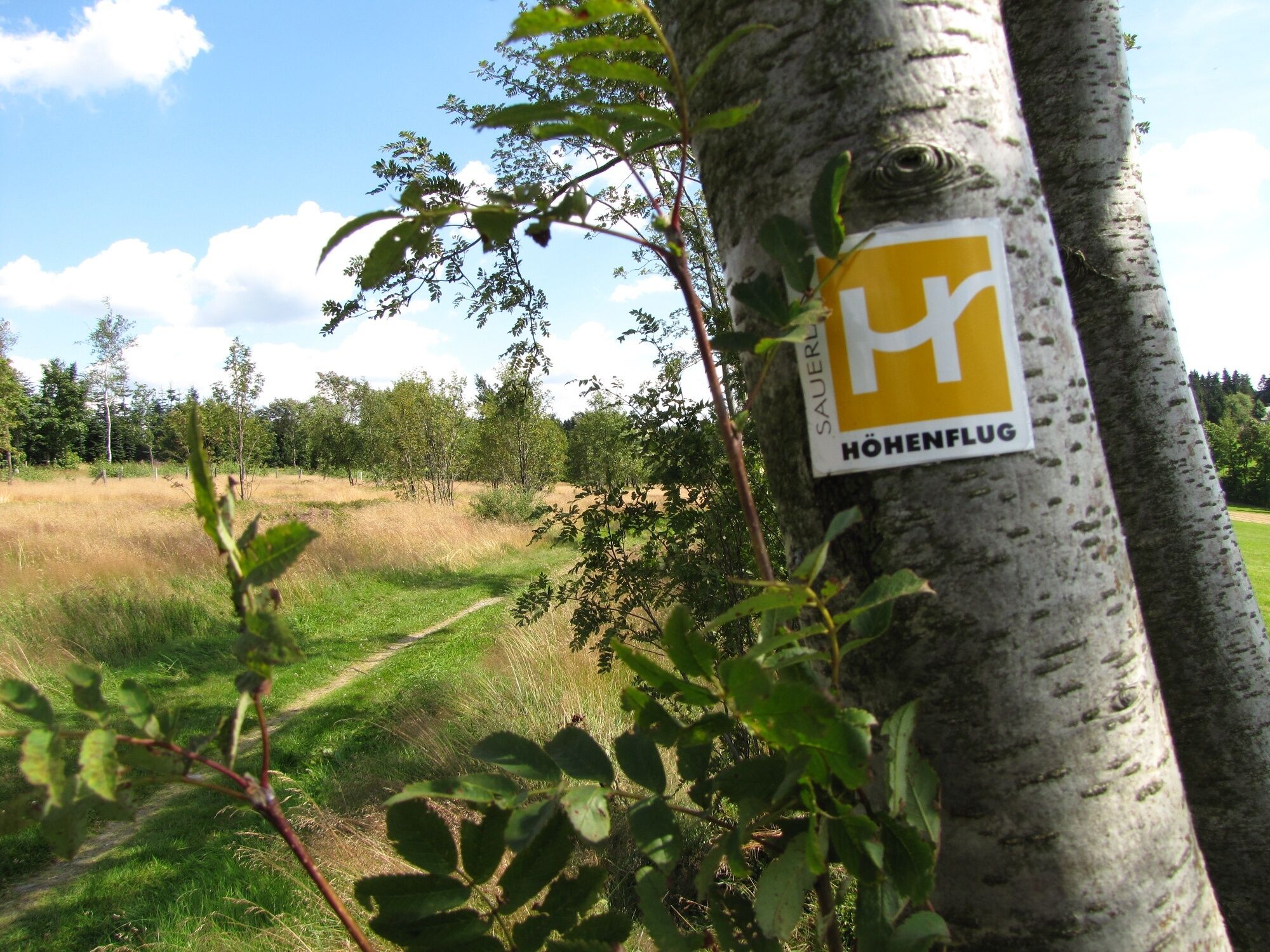
Sauerland-Höhenflug: From Bad Fredeburg to Altastenberg


This stage starting from the charming half-timbered village of Bad Fredeburg leads over the 815 m high Hunau ridge. In the Hunau nature reserve, special natural treasures await you – extensive, untouched...
This stage starting from the charming half-timbered village of Bad Fredeburg leads over the 815 m high Hunau ridge. In the Hunau nature reserve, special natural treasures await you – extensive, untouched beech forests with ancient raised bogs accompany the hiker on the way to Altastenberg, the highest town in the Sauerland with many accommodation options.

The stage begins in the spa town of Bad Fredeburg at the parish church. The charming half-timbered village lies at the foot of the Hunau. The Höhenflug leads through the spa park in Bad Fredeburg and rises steeply behind the shooting range to 565 m. Above Bad Fredeburg, a rest area with a forest sofa swing offers a wonderful view towards the south.
With further beautiful long-distance views, the Sauerland-Höhenflug leads to the Magog slate mine. The spoil heap towers uphill, clearly showing that the Fredeburg slate district is one of the largest slate deposits in Germany. The Höhenflug passes through the small village of Huxel with an adjacent shelter with a lime kiln, where lime was formerly burned. Above Holthausen, on the flank of the Ohlberg, wonderful panoramic views open far to the south. A shelter with a curved lounge and a 2 m large panorama board invites you to rest.
In Holthausen itself is the slate mining and local history museum, where interesting information about slate, rocks, local history, and the everyday life of earlier generations is shown. The Höhenflug rounds the Ohlberg and then leads through deciduous forests on a narrow path to the saddle arch. Here begins the Sorpetal variant of the Sauerland-Höhenflug, which passes through Mittel- and Obersorpe and near the rest area Großes Bildchen meets the main path again. We follow the Sauerland-Höhenflug at the saddle arch, which now rises steeply, passes the Jüberg, and then reaches the SGV-Hunau hut at Langer Stein.
Shortly thereafter, the Höhenflug passes the mighty Bödefeld telecommunications tower, which represents the unmistakable landmark of the Hunau visible over great distances and can, for example, be seen from the Windhausen viewpoint near Attendorn on clear days.
Over the Hunauweg, the hiking trail reaches the Irreplatz. Numerous hiking trails have met here for centuries, and the inhabitants of the surrounding villages report that many hikers have lost their way at this spot. Now the natural scenery changes, and extensive beech forests of the Hunau nature reserve accompany the hiker. A special feature is the Hunau natural forest cell. In natural forest cells, no forestry is carried out, meaning forest development is essentially left to natural evolution, so that ideally a primeval forest can develop after a long time. A high proportion of old trees, plenty of deadwood, and large tree fungi are characteristics of a natural forest cell. Opposite the natural forest cell is the mountain station of the ski lift in the Bödefeld-Hunau ski area. A large panoramic board explains the most important landmarks. Not only the natural forest cell on the Hunau is something special, but also the high moors, which are rare and endangered. The “Nasse Wiese” nature reserve is a more than 8,000-year-old moor, where particularly rare plant species such as narrow-leaved cotton grass or spotted orchids can be observed.
Below the Hunau summit, you come across a very special grave—the dog’s grave. Here, in 1936, a loyal hunting dog named “Isolde von der Hunau” was buried and a monument erected for her.
The Höhenflug continues through beautiful beech forests over the Hunau and reaches the large hiking parking area “Großes Bildchen.” Here the Hunau ridge meets the main ridge of the Rothaargebirge. At “Großes Bildchen,” you find the Antonius spring and a wayside shrine of the SGV Siedlinghausen section. Numerous sections of the Sauerland Mountain Association have also placed their own memorial stones here. The Höhenflug continues along another natural forest cell and then encounters a beautiful meadow path with an impressive group of oak trees, recalling former cattle grazing practices. The Höhenflug continues over a meadow path with a magnificent view of Altastenberg, running parallel to the K 75 and crosses it. The stage ends at the small hiking parking lot directly on K 75.
No special equipment required
Bad Fredeburg: From Meschede via B 55 to Bremke. Turn left here and follow B 511 to Bad Fredeburg. From Schmallenberg via B 236 to Gleidorf and then continue on B 511.
Altastenberg: From Winterberg via B 236, then via L 640.
In Bad Fredeburg: Bad Fredeburg is accessible from Meschede (S90), Schmallenberg (S90), Eslohe (bus 369), Freienohl (bus 367) and Oberhenneborn (bus 465). The Sauerland-Höhenflug runs through the middle of town and crosses the main road passing through Bad Fredeburg at the church. The Sparkasse bus stop is only a few meters below the church.
In Altastenberg: The stop for express bus line 40 is on Astenstraße near the church. To reach the Sauerland-Höhenflug from here, turn into Bildchenweg and at the intersection with Am Platz street, continue. Follow Zum Heidengarten street to the left until you reach Renauweg (K75). The third right, also Renauweg, leads you out of town and into nature: The Sauerland-Höhenflug lies about 60 m ahead at a fork from the small intersection.
More information at http://www.rlg-online.de.
In Bad Fredeburg : At the shooting range, Kurhaus or at the school center
In Altastenberg: Hiking parking lot at K 75 just after leaving Altastenberg, GoogleMaps coordinates: 51.196121,8.46962
Ano
Sauerland-Höhenflug service and booking hotline: 02974 - 202 199
Dining and overnight recommendation:
Hotel Kleins Wiese
Kleins Wiese 1
57392 Schmallenberg - Bad Fredeburg
Phone: 02974 - 96960
Email: kleins-wiese@t-online.de
www.kleins-wiese.de
Webové kamery z prohlídky
St. Georg-Sprungschanze Winterberg
Altastenberg / Haus Astenblick
Obere Postwiese
Funpark/Osthang
Funpark Tele
Sahnehang
St. Georg-Sprungschanze Winterberg
St. Georg-Sprungschanze Winterberg
St. Georg-Sprungschanze Winterberg
St. Georg-Sprungschanze Winterberg
St. Georg-Sprungschanze Winterberg
St. Georg-Sprungschanze Winterberg
St. Georg-Sprungschanze Winterberg
Brembergkopf
Brembergkopf
Brembergkopf
Brembergkopf
Brembergkopf
Postwiese Neuastenberg
Postwiese Neuastenberg
Postwiese Neuastenberg
Postwiese Neuastenberg
Postwiese Neuastenberg
Postwiese Neuastenberg
Bödefeld Hunaulift
Bödefeld Hunaulift
Skilanglaufzentrum Hochsauerland
Erlebnisberg Kappe
Erlebnisberg Kappe
Erlebnisberg Kappe
Erlebnisberg Kappe
Erlebnisberg Kappe
Erlebnisberg Kappe
Erlebnisberg Kappe
Skilift Rimberg
Oblíbené prohlídky v okolí
- 4,0
Mining trail in Ramsbeck
středníTematická stezka9,94 km Bestwiger Panoramaweg (B)
střednídálková pěší trasa56,2 km- 5,0
Winterberg - rund um den Kreuzberg
světloTuristika10,9 km Rothaarsteig from Willingen to Winterberg
heavyTuristika24,9 kmRamsbecker Rundweg (R2)
středníTuristika10,0 km- 4,0
BestWeg Andreasberg
středníTuristika8,33 km Rothaarsteig from Winterberg to Schanze
středníTuristika18,0 kmSauerland-Höhenflug: Meinerzhagen nach Korbach
střednídálková pěší trasa203,8 kmBestwiger Panoramaweg - Etappe 1/4
Turistika17,3 kmSauerland Höhenflug: Altena to Korbach
střednídálková pěší trasa192,8 km
Pěší turistika a stopování


Nenechte si ujít nabídky a inspiraci pro vaši příští dovolenou
Vaše e-mailová adresa byl přidán do poštovního seznamu.