


Sauerland-Höhenflug winter hike: forest adventure trails around Neuenrade


According to popular belief, witches rode to the Hexentanzplatz centuries ago to perform their dances here on moonlit nights. However, it is historically proven that near the Hexentanzplatz there was an...
According to popular belief, witches rode to the Hexentanzplatz centuries ago to perform their dances here on moonlit nights. However, it is historically proven that near the Hexentanzplatz there was an execution site with gallows and a judicial wheel up to the 18th century.


From the hiking car park, the paved path leads 1.5 km over open fields past individual farms southwest to the Hexentanzplatz. This path is marked with the signs A3 and A4.
At the Hexentanzplatz, the path meets the Sauerland-Höhenflug. We keep left and follow the Sauerland-Höhenflug and the forest adventure trail Eichhörnchenweg on forestry tracks. The path is deliberately called "forest adventure trail": here the hiker experiences the forest with all senses. There is much to marvel at, learn, and try out. First, we pass a small pond—a paradise for plants and animals. An information board explains the pond's changes throughout the year and shows which animals like to settle here. Then we pass a small insect hotel.
We continue straight ahead and stay on the Eichhörnchenweg (unlike the Eichhörnchenweg, the Sauerland-Höhenflug circles around the Falkenlei—please follow the Eichhörnchenweg here). The path ascends to the Falkenlei. There, we can take a break at the shelter. As in some previous spots, information boards are present. Which wild animals live in the forest? What tracks do forest animals leave in the snow? Which mushrooms are there? How well do we know the native woods?
We continue to the watershed between the Lenne and Ruhr, where the "Black Cross" has stood since time immemorial. Whether here—according to tradition—a hunter was shot by a poacher long ago, or whether a young unhappy person took their life here is no longer known today. Very close to the Black Cross, we can now admire a charcoal kiln. The kiln was not reconstructed here by chance, but because there used to be a kiln site here. On the forest adventure trail, information is given tied to real objects or to the respective locations.
Now we leave the Eichhörnchenweg and turn right onto the forest adventure trail Igelweg. This leads us to a children's high seat. Climbing up is encouraged here. Children can observe the landscape and, with a bit of luck, wildlife from the high seat, just like hunters. A little further, an auditory tube can be tried out, and a bit further on, we can compose our own melodies on a tree dendrophon.
Now we can take the opportunity to enjoy a well-deserved break at the inn “Zur Borke” (please note opening hours!). For this, we have to cross the L 842 country road. For the return journey, we first take the same path for a few meters, then follow the Igelweg to the right. After 1 km, we turn sharply right onto the Küntroper circular hiking trail, marked with a K. After another km, we reach a small shrine on the L 842 country road. We go left and now need to be careful, as we have to walk about 100 meters along this road before turning left onto the farm track, which takes us past the Thanshof. The route continues via the Severinshof to the Freientroper Weg and finally to Schlader Weg. There we hike uphill until we reach the hiking car park again. Those who get hungry again during the hike can also reach the Mythos-Grill via Kirchstraße and Garbecker Straße, instead of taking the Schlader Weg, and have a snack there before returning to the hiking car park.
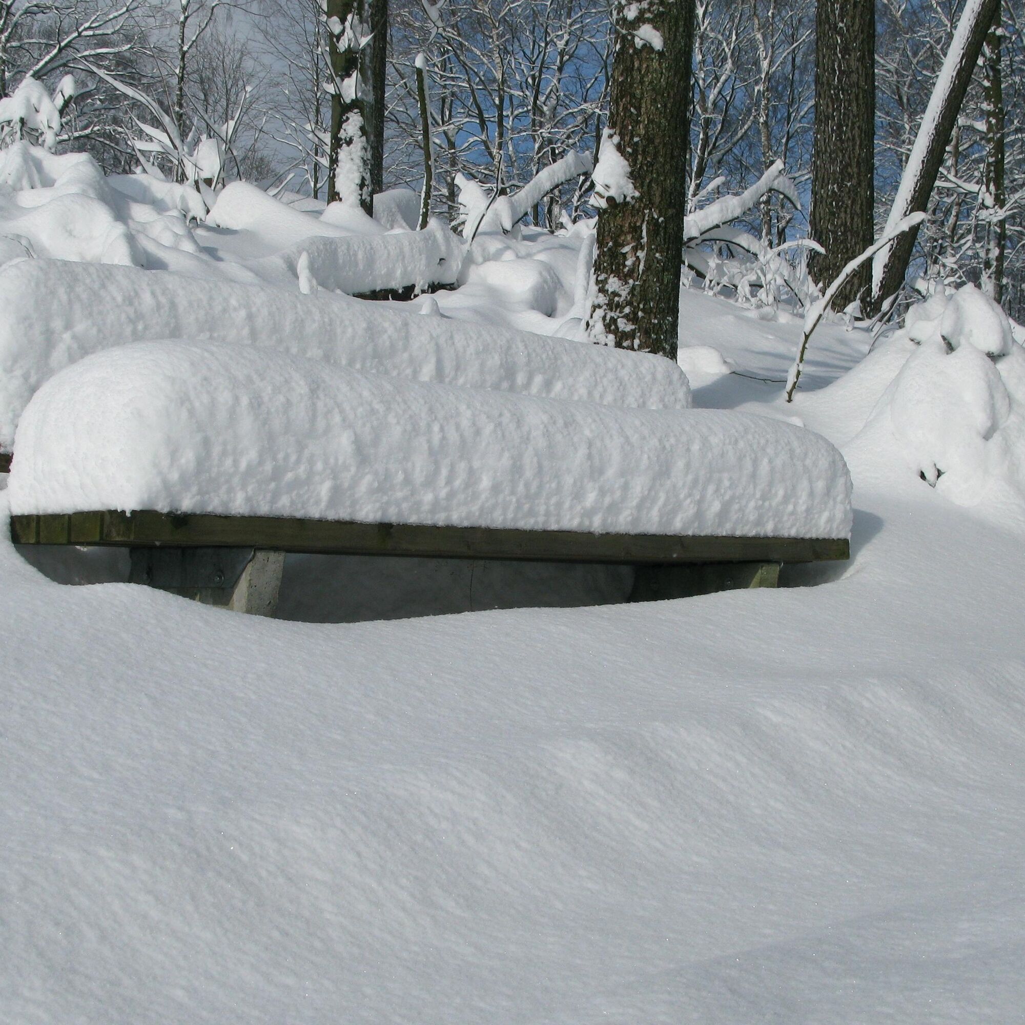
This proposal does not involve cleared or shoveled winter hiking trails. Due to the wide paths and forest adventure stations, however, this hike is recommended for light to moderate snow conditions.
When winter hiking, carrying a mobile phone is especially important. Sturdy footwear and warm clothing should be a matter of course.
From Lüdenscheid (motorway junction to the A45) via the B229 to Neuenrade, Küntrop. Turn here into Schlader Weg street. At the end of the buildings is the hiking car park.
The next stop is the Küntrop Mitte bus stop. From here, buses run towards Neuenrade and Altenaffeln.
Hiking car park Schlader Weg in Neuenrade-Küntrop. GoogleMaps coordinates: 51.280575,7.818176
www.sauerland-hoehenflug.de
Oblíbené prohlídky v okolí
- 3,5
The Fickeltünnes Trail - Hiking on the history hiking trail around Allendorf
středníTematická stezka14,3 km Circular hiking trail in Langscheid "Schlösser route"
středníTuristika14,2 km- 4,0
Rundweg an der Versetahlsperre
středníTuristika10,9 km Plettenberg: History Route XL
středníJízda na kole40,3 kmPlettenberg: Town-Countryside-River Route
heavyJízda na kole62,9 kmIce cream and café route Plettenberg-Herscheid with Oestertalsperre
středníJízda na kole31,8 kmPlettenberg: History Route XS
světloJízda na kole9,07 kmSauerländer Siebengebirge (SR3)
středníJízda na kole32,2 kmSonntagslauf Iserlohn-Brandkopf-Danzturm-Forsthaus Löhnen-Kesbern-Dahlsen-Zur Mühle-Hegenscheid-Lössel
světloTuristika18,2 kmRAAM Team Northern Route, road cycling tour with steam in the legs
heavyJízda na kole121,2 km
Pěší turistika a stopování


Nenechte si ujít nabídky a inspiraci pro vaši příští dovolenou
Vaše e-mailová adresa byl přidán do poštovního seznamu.