


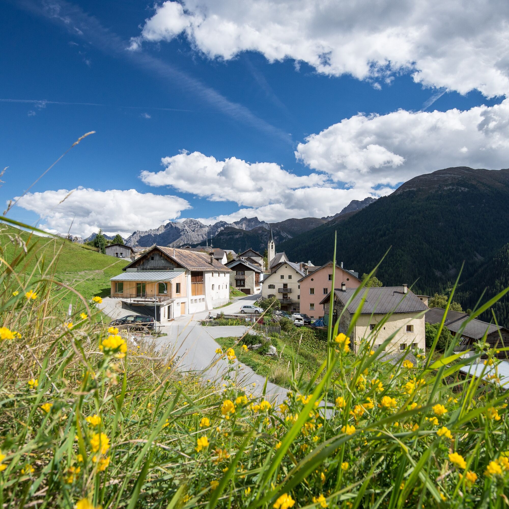
87 Via Engiadina: Stage 7, Lavin - Guarda


From Lavin train station, take the road in an easterly direction past the church and, at the end of the village, turn left under the railroad and cantonal road onto the forest road. Follow the Via Engiadina...
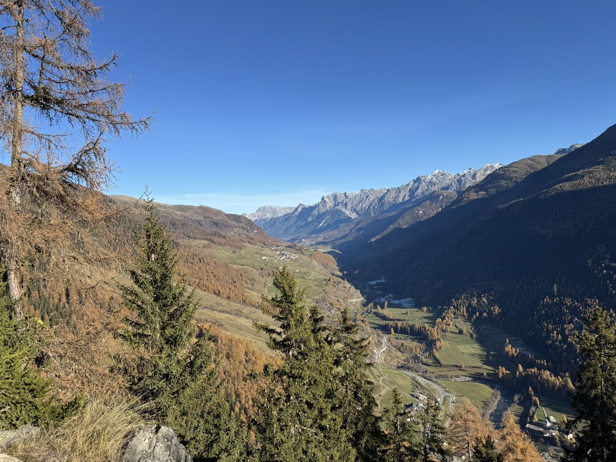
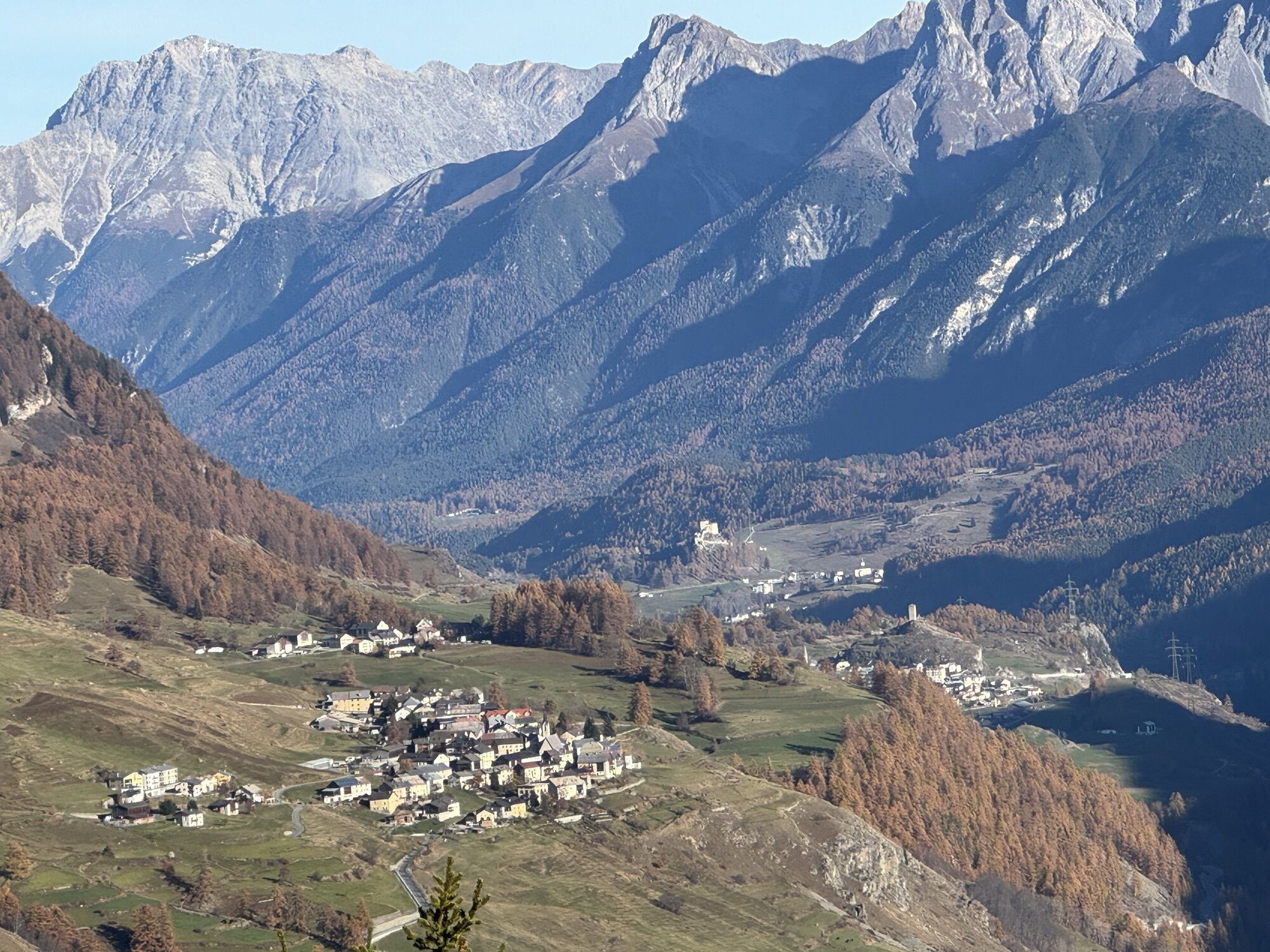
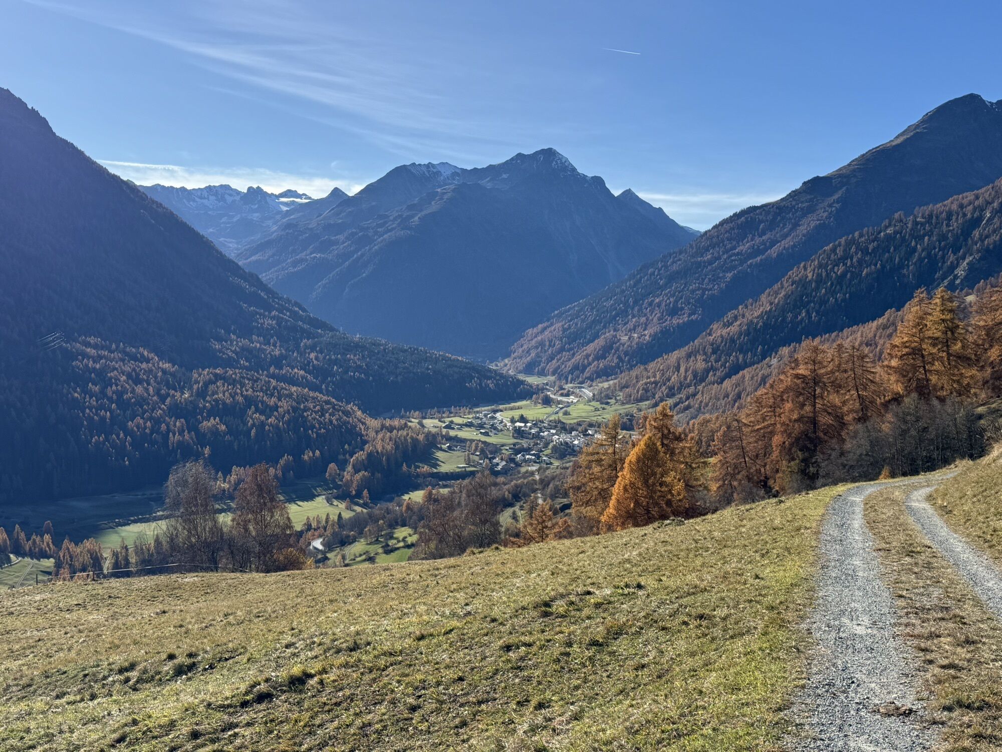
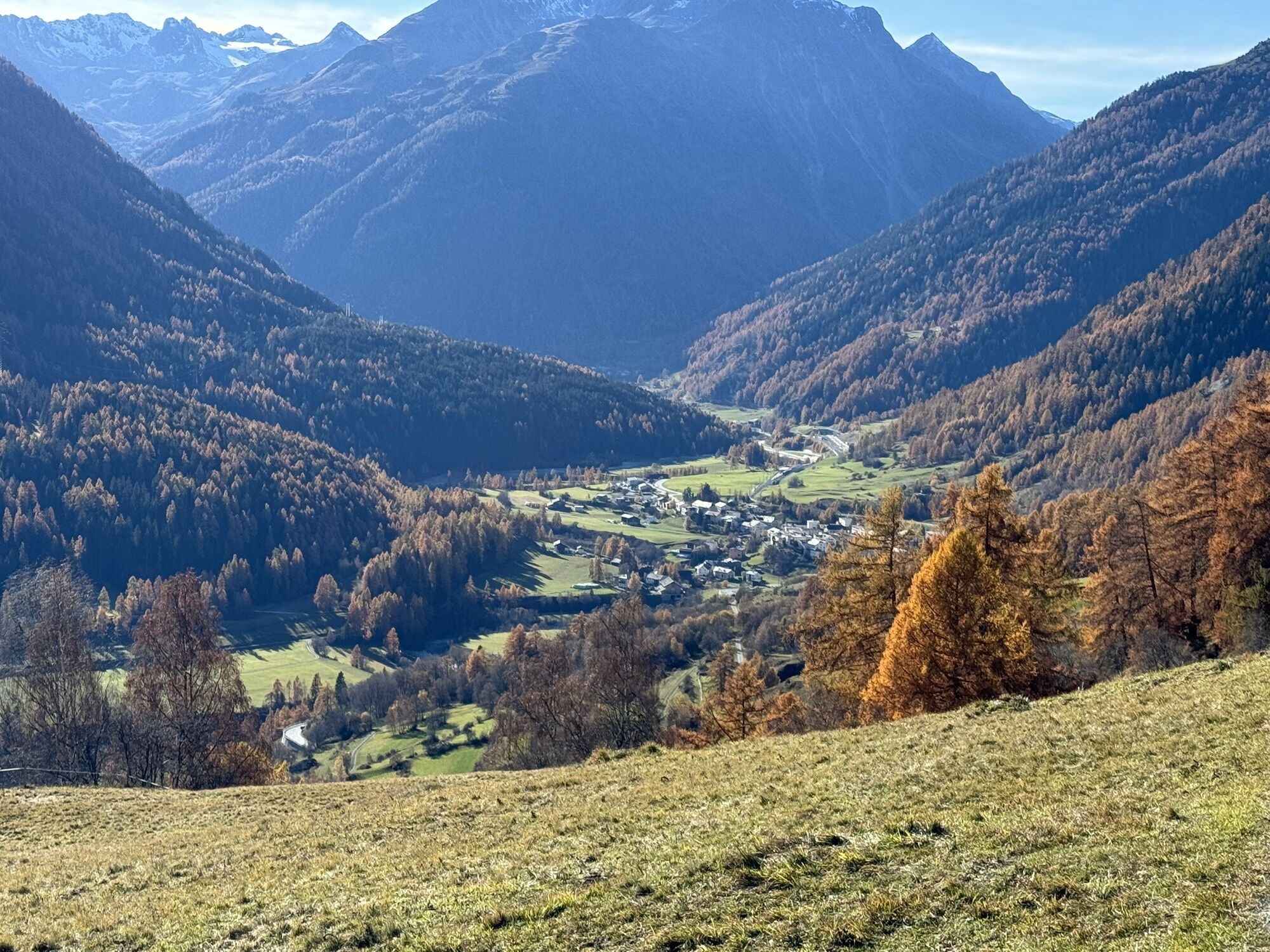
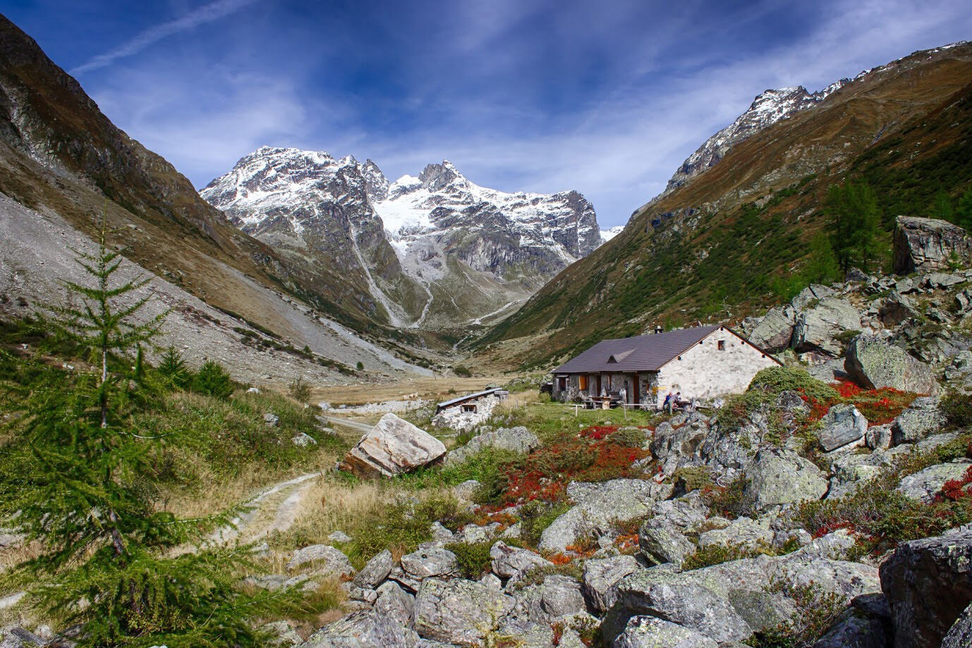
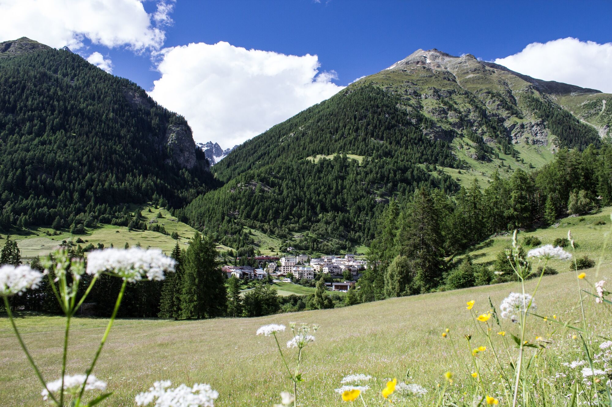
From Lavin train station, take the road in an easterly direction past the church and, at the end of the village, turn left under the railroad and cantonal road onto the forest road. Follow the Via Engiadina signs through the forest to the entrance to Val Lavinouz. Over the alp Dadoura and up to the alp d'Immez, the route runs along the alp road, then branches off to the right and now runs somewhat more steeply uphill through alpine rose bushes. Very rewarding is the view into Val Lavinouz to the Verstanclahorn and the Vadret da las Maisas glacier below. High above the Alp d'Immez, the route then heads east again, remaining at the same altitude. On the opposite side of the valley of Val Lavinouz rises the shapely Piz Linard. On the flank of Piz Chapisun up to Chamanna dal Bescher (open in summer), the path crosses the Gonda avalanche range, to which the village of Lavin owes its name. At the top of the ridge of Chapisun the blasting pylons can be seen, further down in the valley the remains of the 12th century settlement of Gonda can be seen. The path then leads back towards Val Tuoi. Before reaching the bottom of the valley, a path branches off to the right from the Via Engiadina through the gorge «Foura Turnina» to the alp Sura. The alp Sura is served during the summering season. From the alp Sura you descend through a light-flooded forest to Guarda. In Guarda there are various possibilities to stop for refreshments as well as post bus connections to Guarda train station and to the RhB network.

Lavin – Gonda – follow the river and cross the bridge to Guarda
Ano
Good shoes, rain and sun protection, water bottle, first aid kit.
The tour was evaluated in favorable weather conditions, the current weather conditions and weather forecasts are mandatory to follow before starting the tour. This hike requires elementary alpine experience, orientation skills, mountain boots are recommended.
Emergency call:
144 emergency call, first aid
1414 Mountain rescue REGA
112 International emergency call
From the north: via Landquart - Klosters by car transport through the Vereina tunnel (Selfranga - Sagliains) or via the Flüela Pass into the Lower Engadine on H27.
From the east: via Landeck / Austria in the direction of St. Moritz on H27
From the south: via Reschenpass (Nauders-Martina) or Ofenpass (Val Müstair-Zernez) on H27
Lavin is located directly on the Engadine road H27 between Susch and Giarsun/Guarda.
With the Rhaetian Railway (from Chur, Landquart/Prättigau, from the Upper Engadine or from Scuol) hourly to Lavin station
Paid parking at Lavin train station
If you still have enough energy, continue walking along the Via Engiadina into the Val Tuoi until you reach the Alp Suot. Before Alp Suot, the turning point in Val Tuoi, you cross the valley stream Clozza. After the Suot Alp, there is another ascent to above the tree line and again follow the valley outwards to the Sura Alp, which is located in a panoramic position.
Oblíbené prohlídky v okolí
-
5.0
Großer Piz Buin (3.312m), Normalweg 2019 über Ochsentaler Gletscher
heavyVysokohorská turistika 24.1 km -
4.9
Jöriseen
středníTuristika 11.3 km -
4.5
Jöriseen Rundwanderung
středníTuristika 11.6 km -
Rund ums Hohe Rad
heavyTematická stezka 15.4 km -
1.0
High mountain route to the highest summit of Vorarlberg, the Piz Buin (3,312 m)
heavyVysokohorská turistika 22.4 km -
Bieler Höhe - Wiesbadener Hütte - Runde ums Hohes Rad
středníTuristika 15.6 km -
5.0
Jörisee hike
středníTuristika 10.3 km -
Bielerhöhe > Radsattel > Wiesbadener Hütte > Bielerhöhe - Angelos Touren
heavyTuristika 15.1 km -
5.0
Fluela Schwarzhorn 3147 m
světloVysokohorská turistika 7.34 km -
Silvretta Stausee
světloTuristika 6.22 km
Pěší turistika a stopování


Nenechte si ujít nabídky a inspiraci pro vaši příští dovolenou
Vaše e-mailová adresa byl přidán do poštovního seznamu.