


Regional bike route Lower Engadin: Ramosch – Martina (442.03)


Fotografie našich uživatelů
-

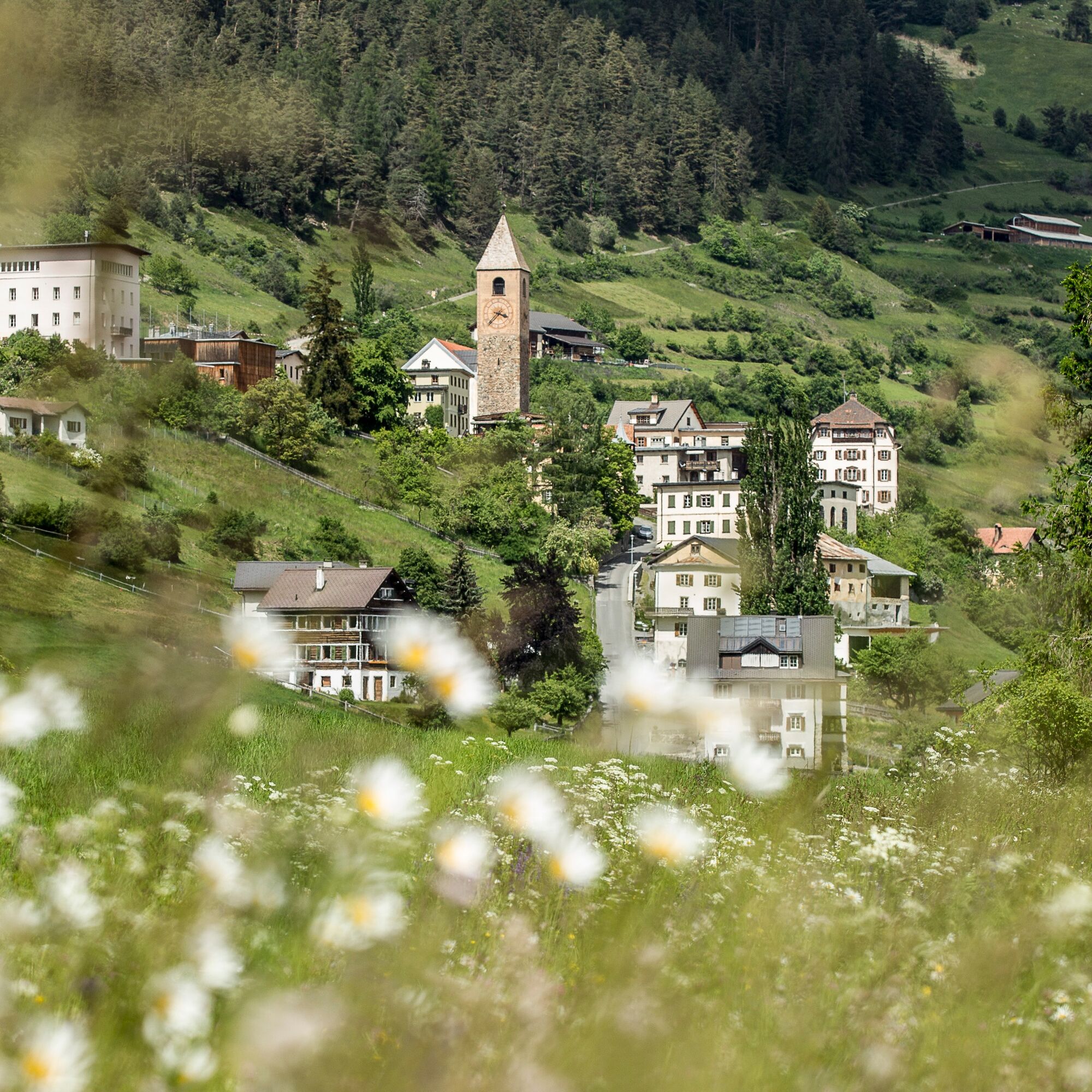
 © Markus gutensohnVytvořeno dne 12.07.2025
 -
 © Markus gutensohnVytvořeno dne 12.07.2025
 -
 © Markus gutensohnVytvořeno dne 12.07.2025
 -
 © Markus gutensohnVytvořeno dne 12.07.2025
 -
 © Markus gutensohnVytvořeno dne 12.07.2025
 -
 © Markus gutensohnVytvořeno dne 12.07.2025
 -
 © Markus gutensohnVytvořeno dne 12.07.2025
 -
 © Markus gutensohnVytvořeno dne 12.07.2025
 -
 © Markus gutensohnVytvořeno dne 12.07.2025
 -
 © Markus gutensohnVytvořeno dne 12.07.2025
 -
 © Markus gutensohnVytvořeno dne 12.07.2025
 -
 © Markus gutensohnVytvořeno dne 12.07.2025
 -

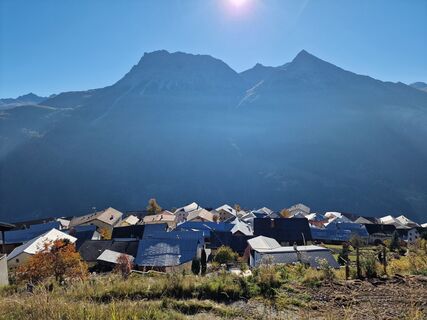
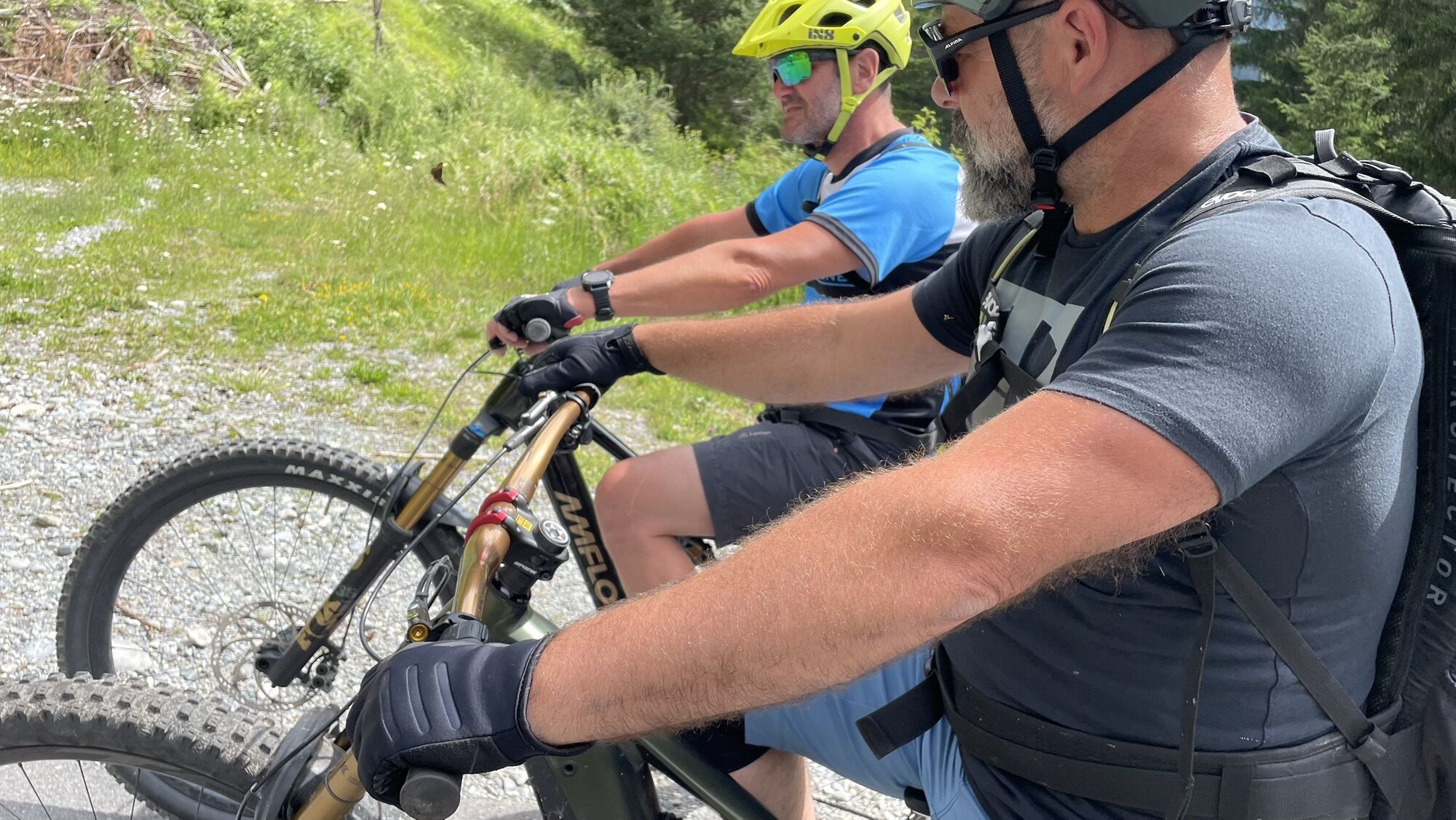
 © Roland EberhardVytvořeno dne 18.10.2025
 -
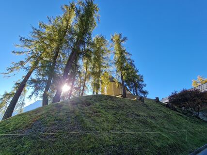
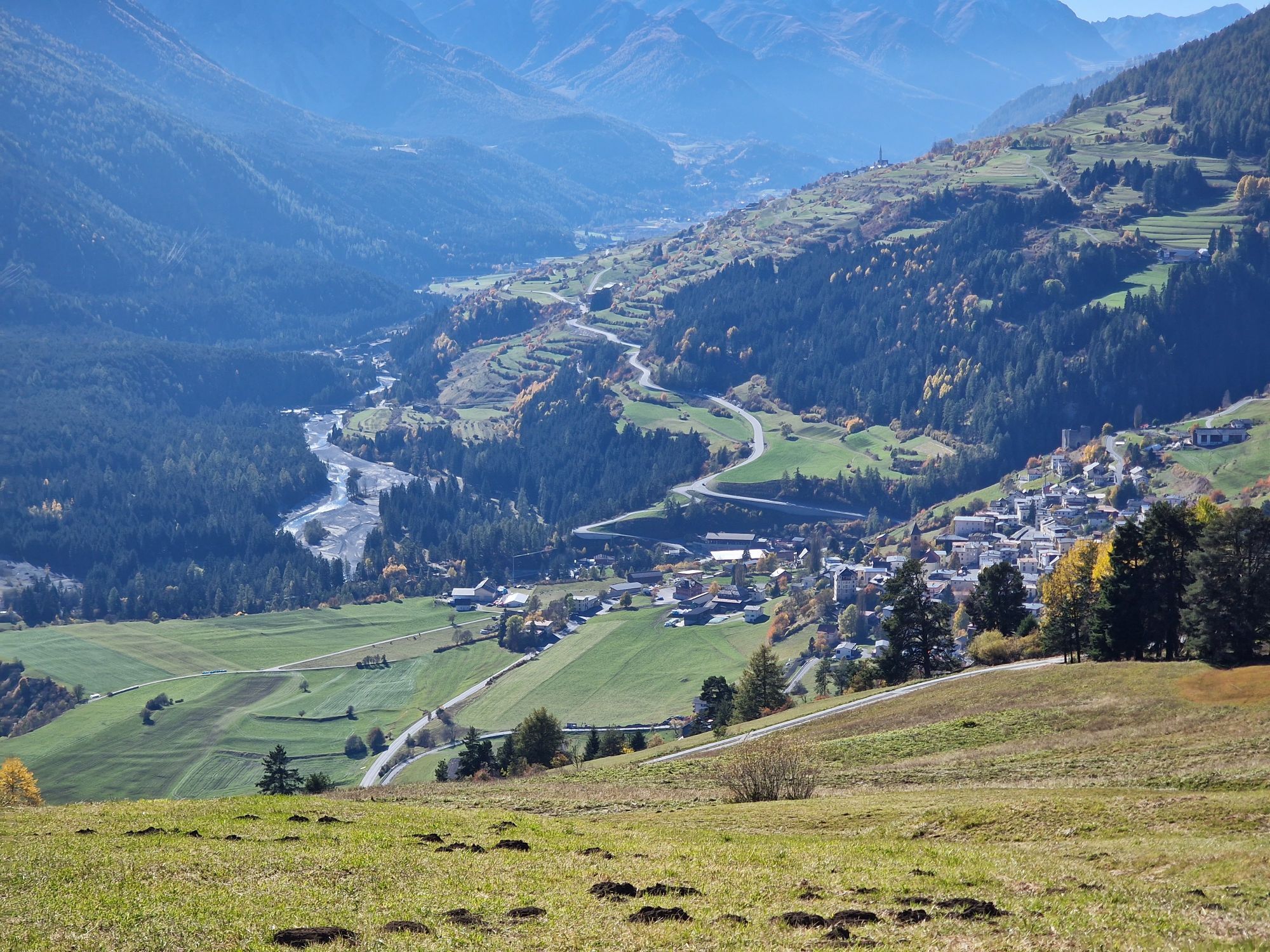
 © Roland EberhardVytvořeno dne 18.10.2025
 -
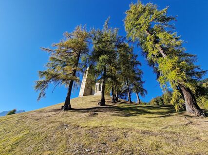
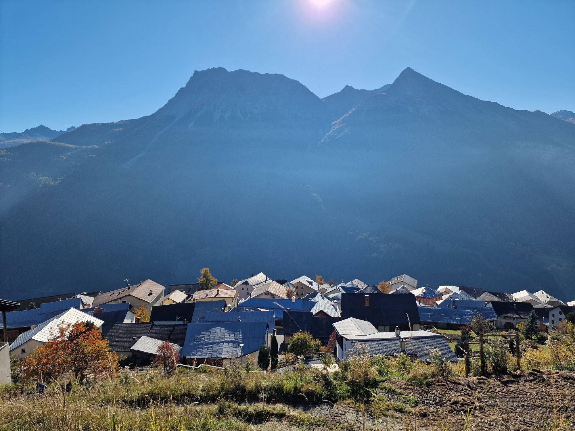
 © Roland EberhardVytvořeno dne 18.10.2025
 -
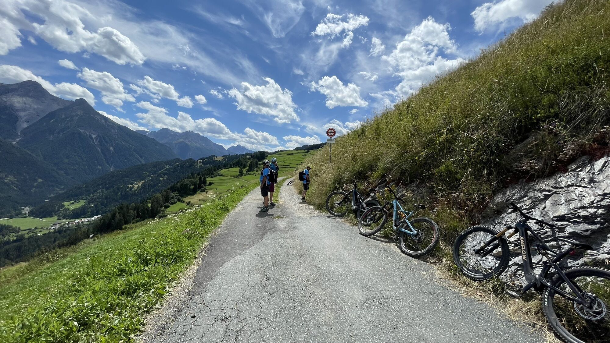
 © Roland EberhardVytvořeno dne 18.10.2025
 -
 © Roland EberhardVytvořeno dne 18.10.2025


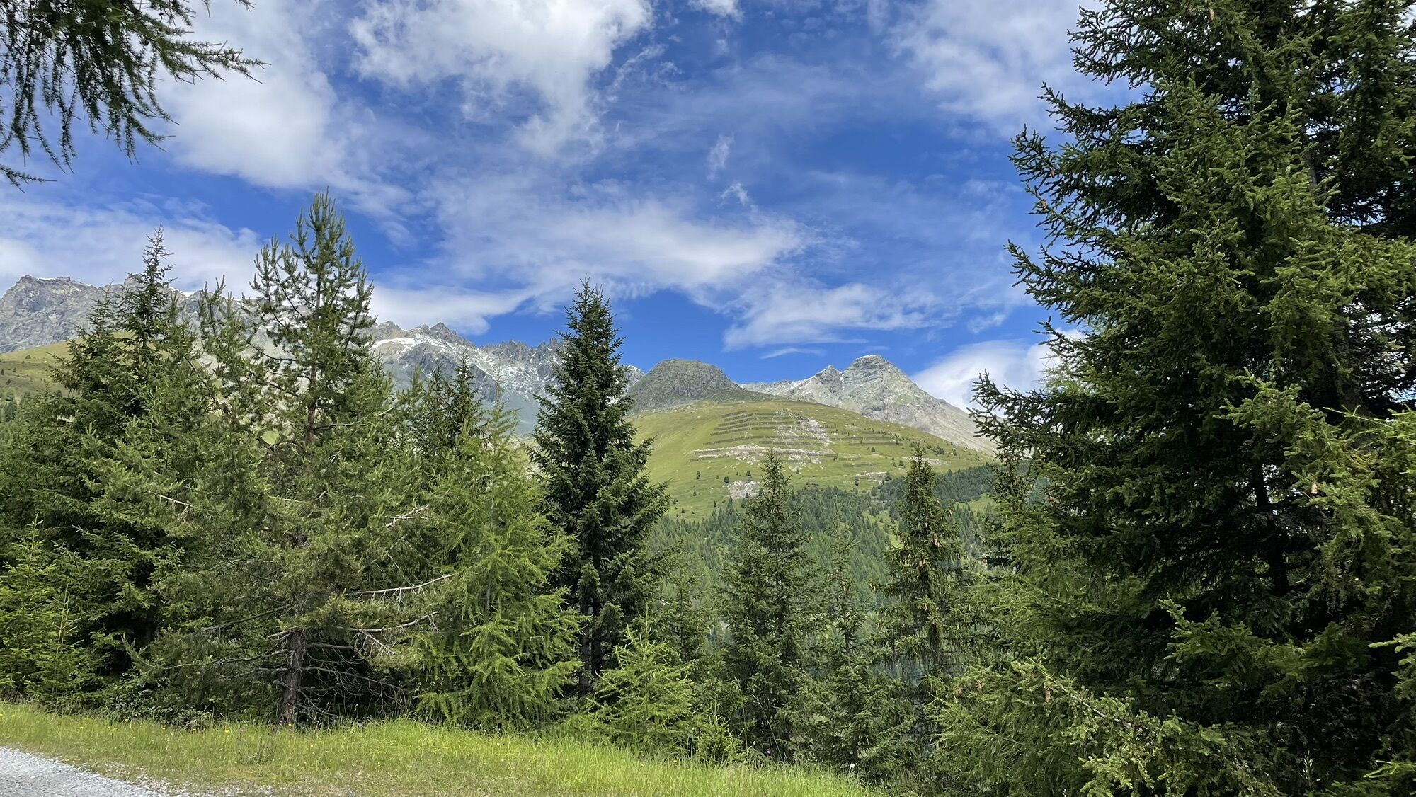


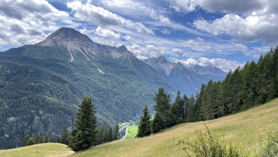
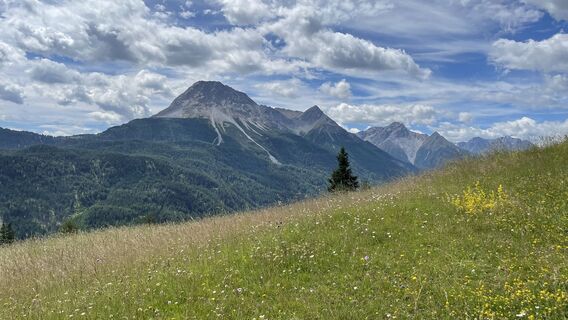
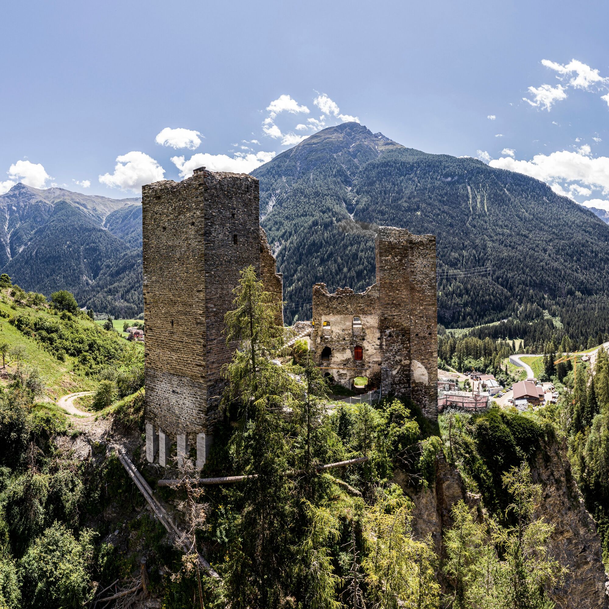
After starting in the historically significant Ramosch, the route steadily and steeply ascends, always with the Tschanüff castle ruin at your back, up to the plain "Motta." Here a short break is worth...
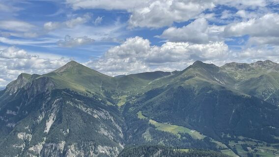
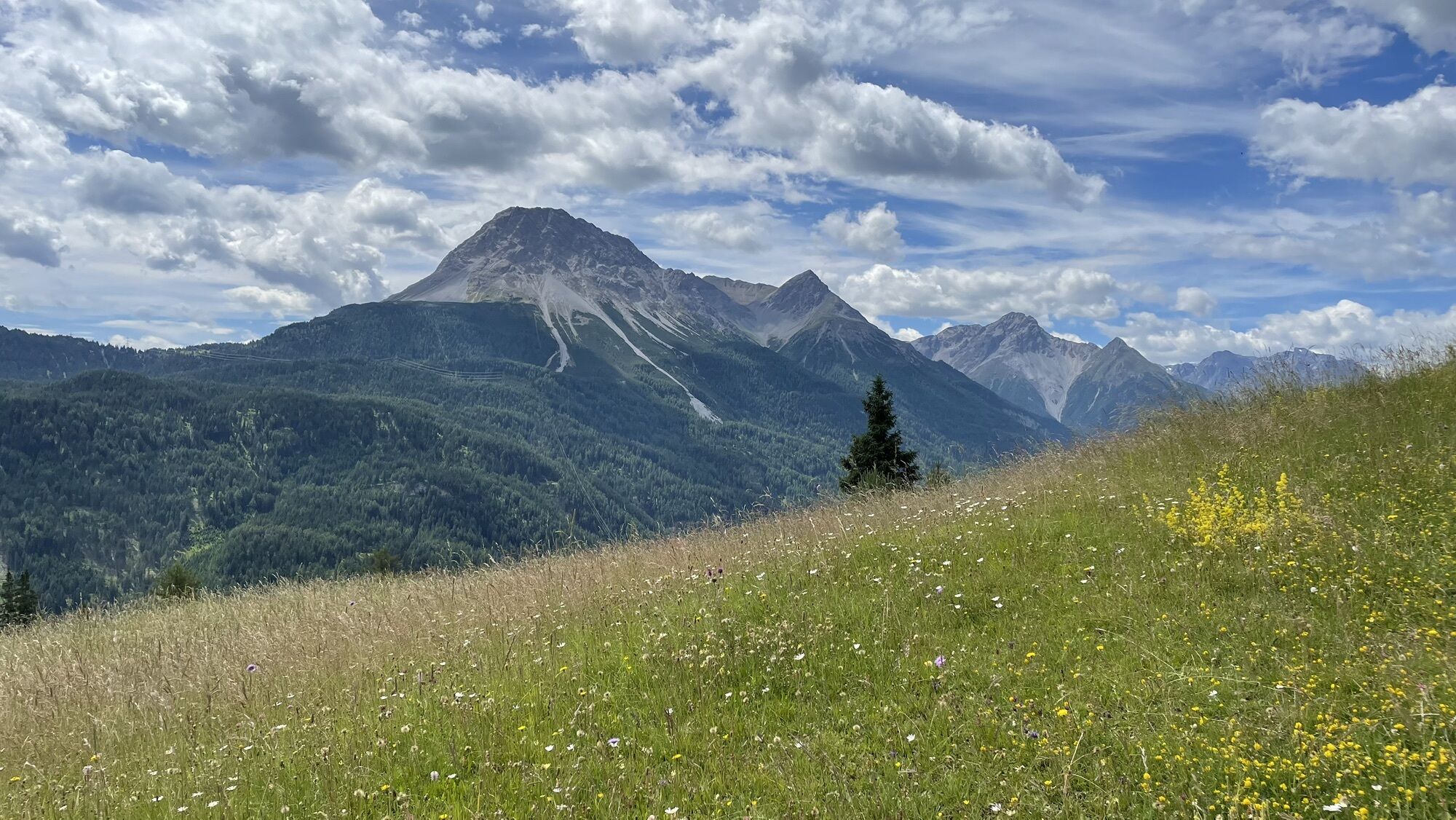
After starting in the historically significant Ramosch, the route steadily and steeply ascends, always with the Tschanüff castle ruin at your back, up to the plain "Motta." Here a short break is worth it with views to the east towards Tschlin and neighboring Austria, to the south into the wild Val d'Assa and Val d'Uina, and to the west over Ramosch towards Scuol and Sent on the Lower Engadin Dolomites. The terraced slopes around Motta still testify to former grain cultivation in this dry area and encouraged settlers during the Bronze and Iron Ages to settle here.
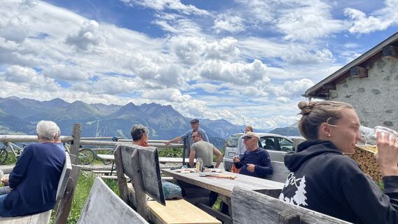
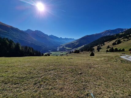
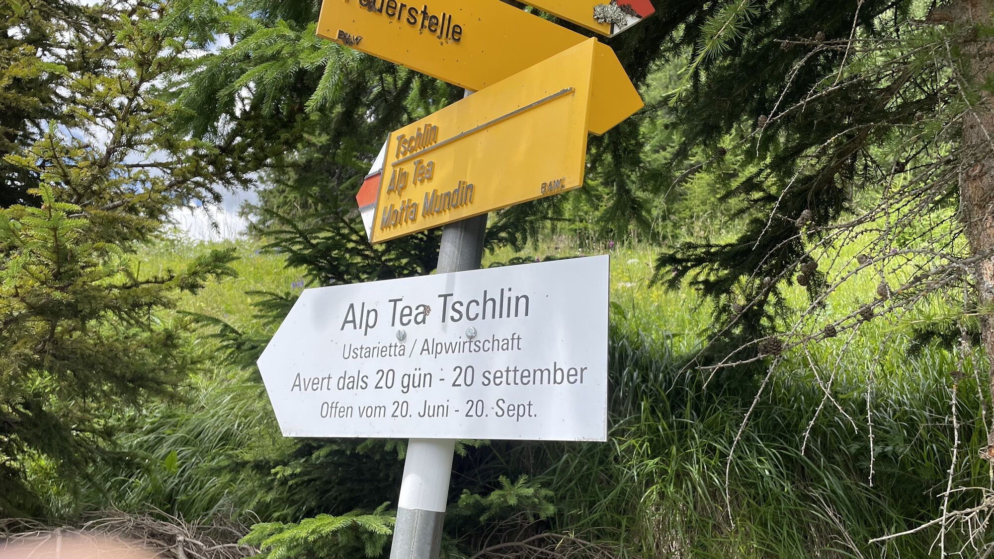
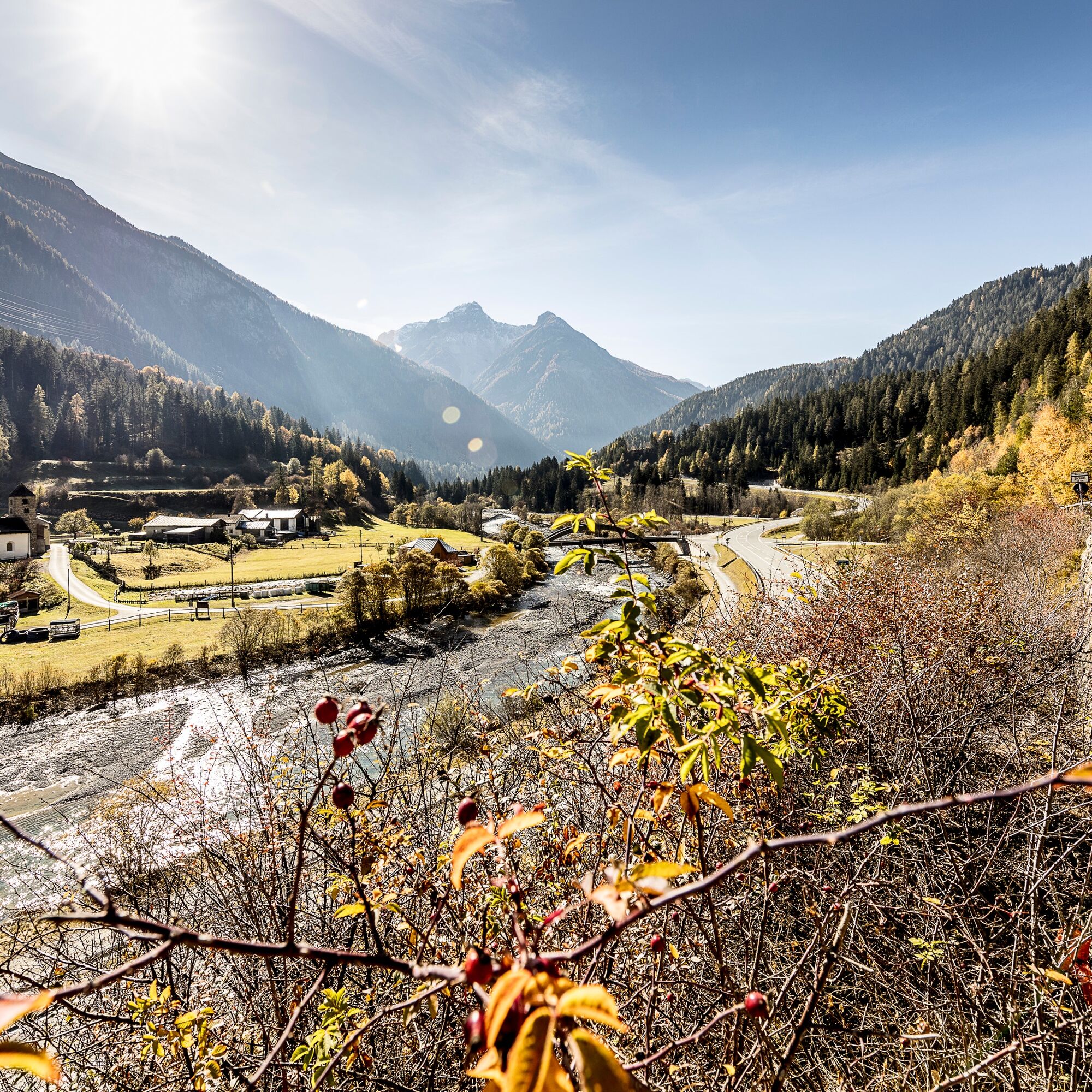
The following descent to Seraplana is relaxing before the long climb to Tschlin and further to Alp Tea again demands high endurance. Once above the tree line, it is recommended in summer to stop at Alp Tea and enjoy the well-deserved refreshment before the last descent to Martina awaits.


Ramosch
Plain Motta
Direction Seraplana
Cantonal road
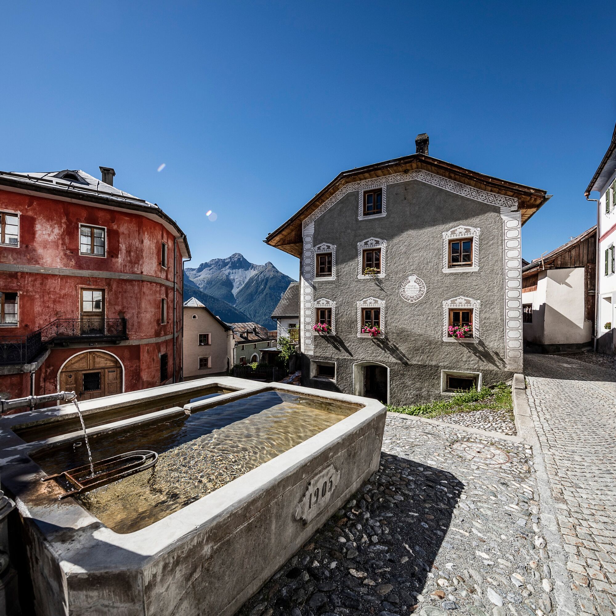
Tschlin
Tschlin Church
Val Puntsot
left over Pra Grond
Mundaditschas
Direction Alp Tea
Forest road over Vadrain
Martina
Ano
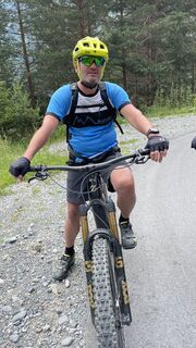
Helmet, gloves, good footwear, glasses, rain and sun protection, drinking bottle, repair kit, first aid kit
The route was rated under favorable weather conditions; current weather and forecasts must be strictly observed before starting the route. This route does not demand high skills in riding safety, balance, and technical riding ability.
Emergency numbers:
144 Emergency, first aid
1414 Mountain rescue REGA
112 International emergency number
Consideration for hikers
The Graubünden mountain bike routes largely run on single trails, which are also signposted as hiking trails. Hikers have the right of way.
From the north: via Landquart – Klosters by car shuttle through the Vereinatunnel (Selfranga - Sagliains) or via Flüela Pass into the Lower Engadin on H27, to Ramosch
From the east: via Landeck / Austria towards Reschen Pass, to Martina on the H27 to Ramosch
From the south: via Reschen Pass to Martina, there direction St. Moritz on the H27 to Ramosch
Ramosch is located directly on the cantonal road H27 (about 30 min. from Vereina south portal in Sagliains)
By Rhaetian Railway (from Chur, Landquart/Prättigau or Upper Engadin) hourly to Scuol-Tarasp and further by PostBus to Ramosch, Fermada.
By PostBus from Scuol and Martina hourly to Ramosch, Fermada.
Free parking spaces in Ramosch, Plaz (by the church)
The Alp Tea is served in summer and highly recommended for a break with a wide view and refreshment.
Oblíbené prohlídky v okolí
-
4.1
Panoramaweg Schöneben Haider Alm
světloTuristika 5.78 km -
4.2
Reschensee
světloTuristika 15.6 km -
5.0
NAUDERS | Grenzüberquerung
světloTuristika 7.41 km -
4.5
Radurschelklamm
středníTuristika 7.51 km -
5.0
Samnaun Dorf – Muttler
heavyTuristika 14.8 km -
5.0
Plamort
světloTuristika 8.25 km -
Suspension Bridge Trail Val Sinestra – Zuort – Griosch – Vnà
středníTuristika 11.0 km -
5.0
3 Länder Tour Uinaschlucht MTB
heavyMountainbike 74.6 km -
Nauders: Schweiz-Runde
Mountainbike 32.6 km -
5.0
Around the Flimspitz from Alptrider Sattel
středníTuristika 8.57 km
Pěší turistika a stopování


Nenechte si ujít nabídky a inspiraci pro vaši příští dovolenou
Vaše e-mailová adresa byl přidán do poštovního seznamu.