


Cycling route: Alsace Vineyard Cycle Route: from Marlenheim to Thann
Úroveň obtížnosti: 4


Fotografie našich uživatelů
 © Ansgar Unde VrederunVytvořeno dne 13.08.2023
 © Ansgar Unde VrederunVytvořeno dne 13.08.2023
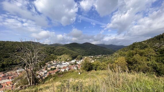 © Ansgar Unde VrederunVytvořeno dne 13.08.2023
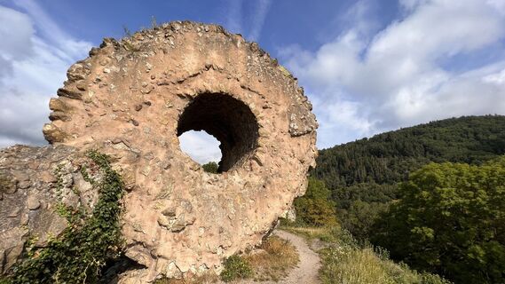 © Ansgar Unde VrederunVytvořeno dne 13.08.2023
 © Ansgar Unde VrederunVytvořeno dne 13.08.2023
 © Ansgar Unde VrederunVytvořeno dne 13.08.2023
 © Ansgar Unde VrederunVytvořeno dne 13.08.2023
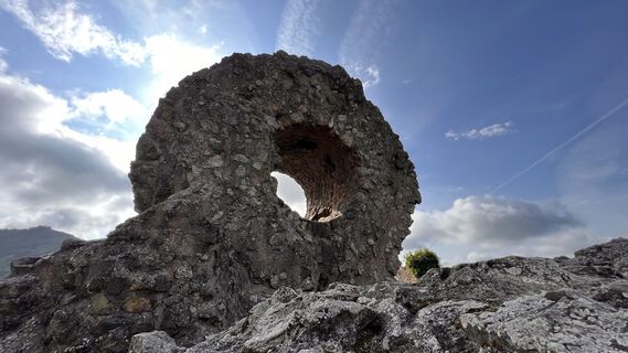 © Ansgar Unde VrederunVytvořeno dne 13.08.2023
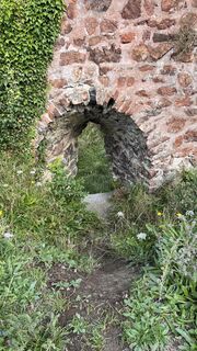 © Ansgar Unde VrederunVytvořeno dne 13.08.2023
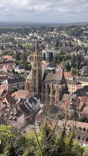 © Ansgar Unde VrederunVytvořeno dne 13.08.2023
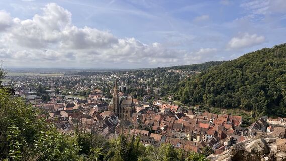 © Ansgar Unde VrederunVytvořeno dne 13.08.2023
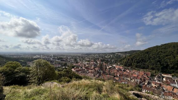 © Ansgar Unde VrederunVytvořeno dne 13.08.2023
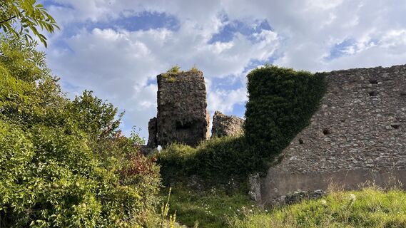 © Ansgar Unde VrederunVytvořeno dne 13.08.2023
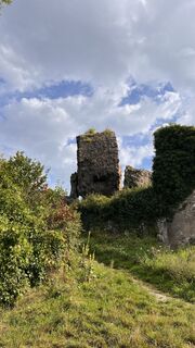 © Ansgar Unde VrederunVytvořeno dne 13.08.2023
 © Ansgar Unde VrederunVytvořeno dne 13.08.2023

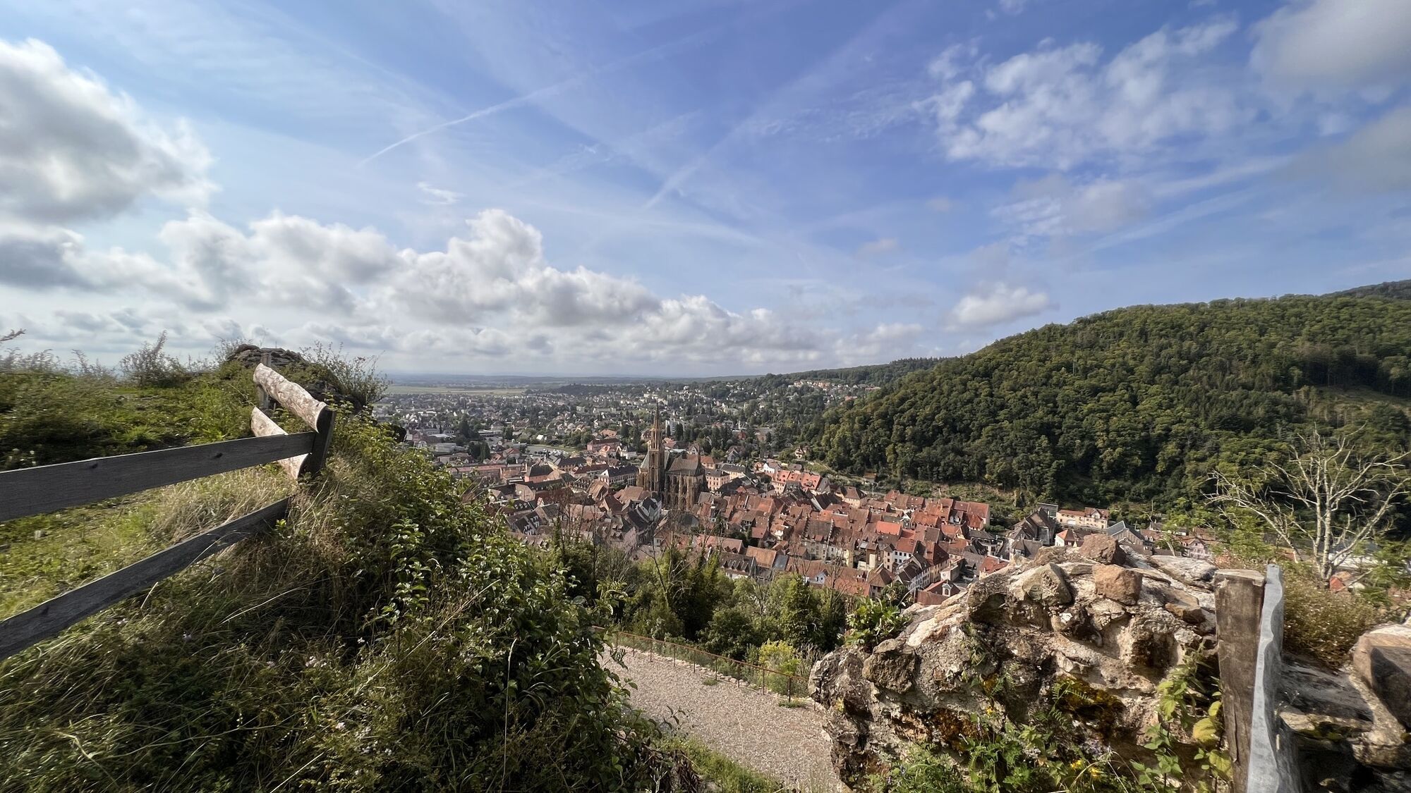


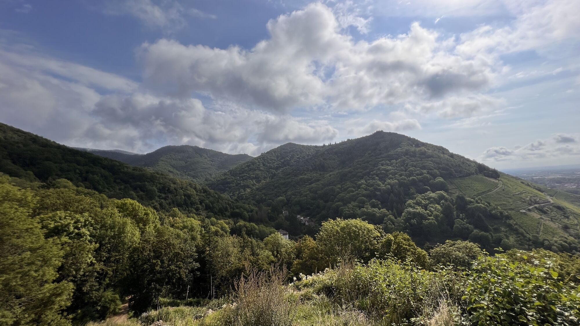

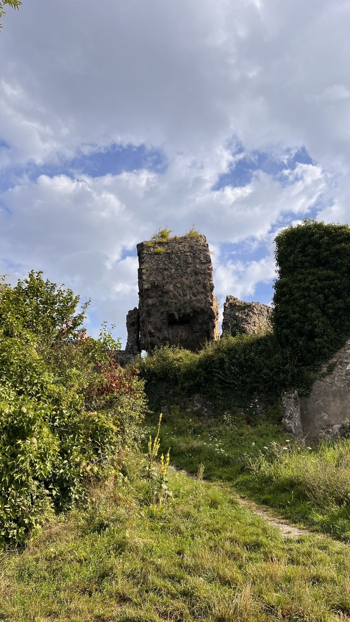
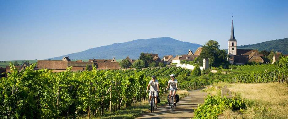
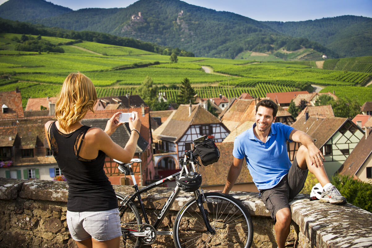
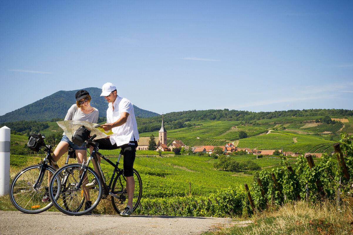
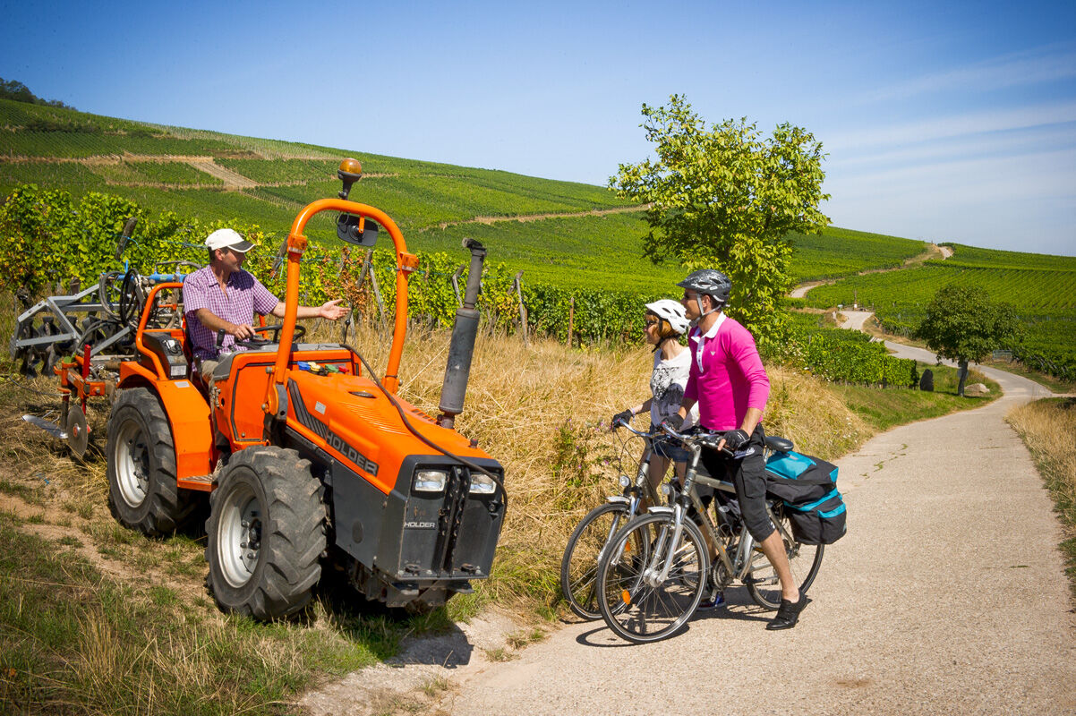
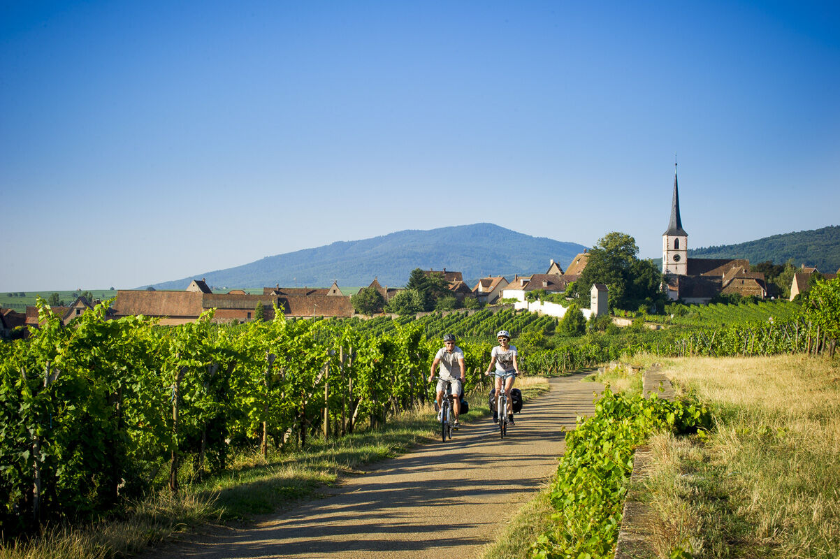
Running parallel, the Alsace Vineyard Cycle Route uses old railway lines, sections of the ancient Roman road, and many paths between the vines. It crosses a postcard landscape: medieval castle ruins, flowered...
Running parallel, the Alsace Vineyard Cycle Route uses old railway lines, sections of the ancient Roman road, and many paths between the vines. It crosses a postcard landscape: medieval castle ruins, flowered villages, Romanesque abbeys, rolling vineyards, welcoming winstubs...
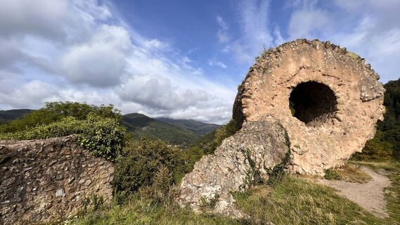
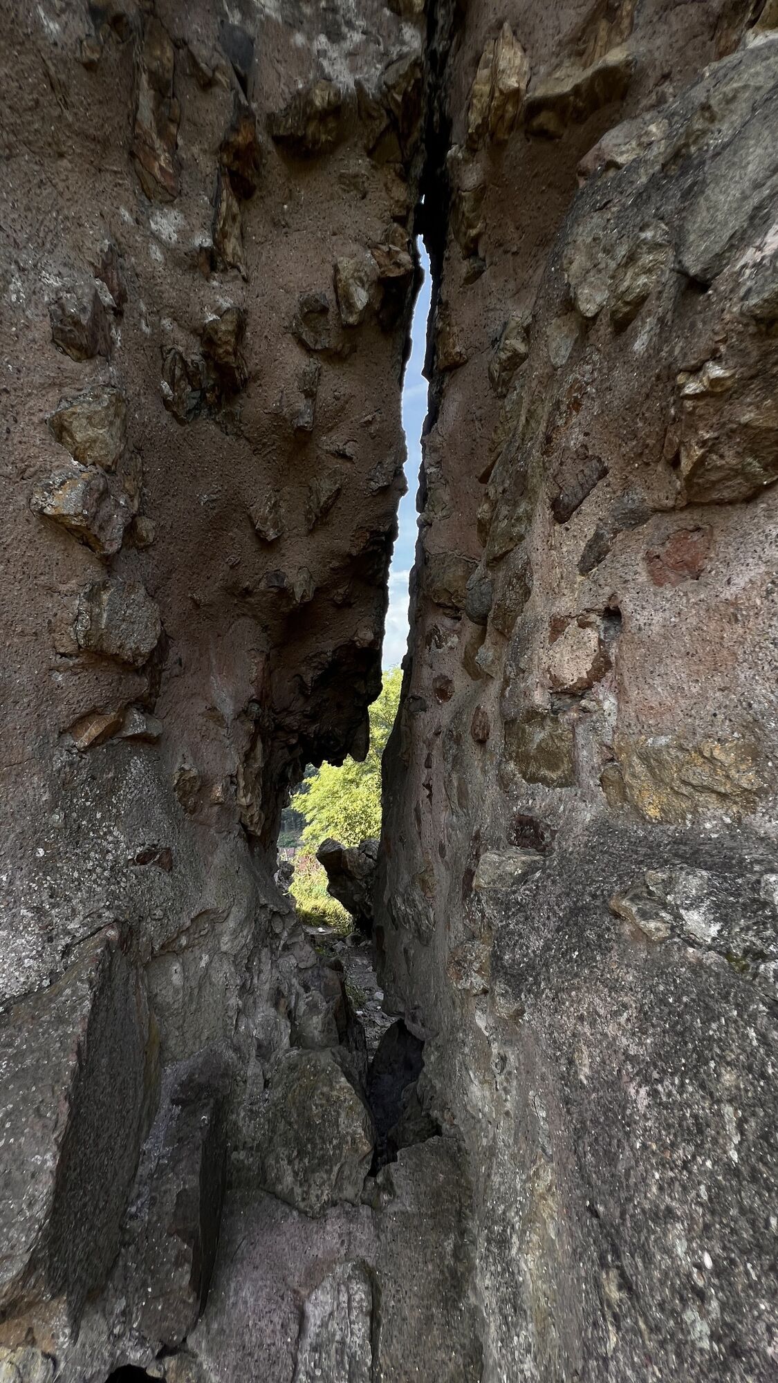
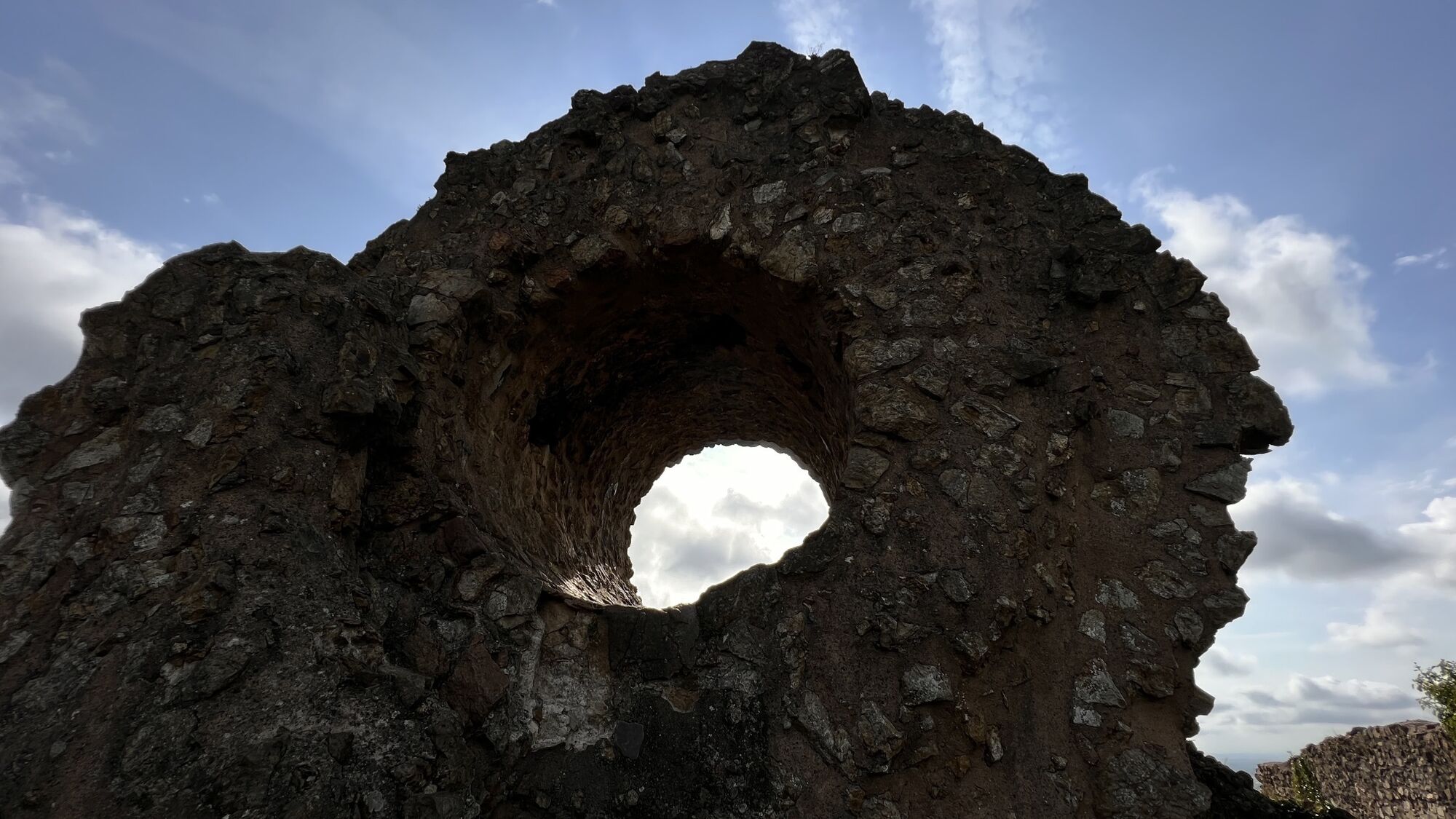
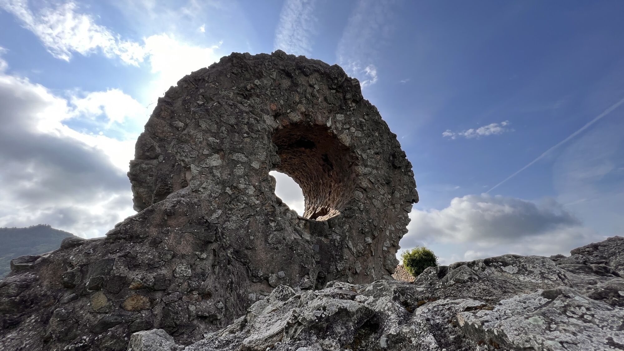
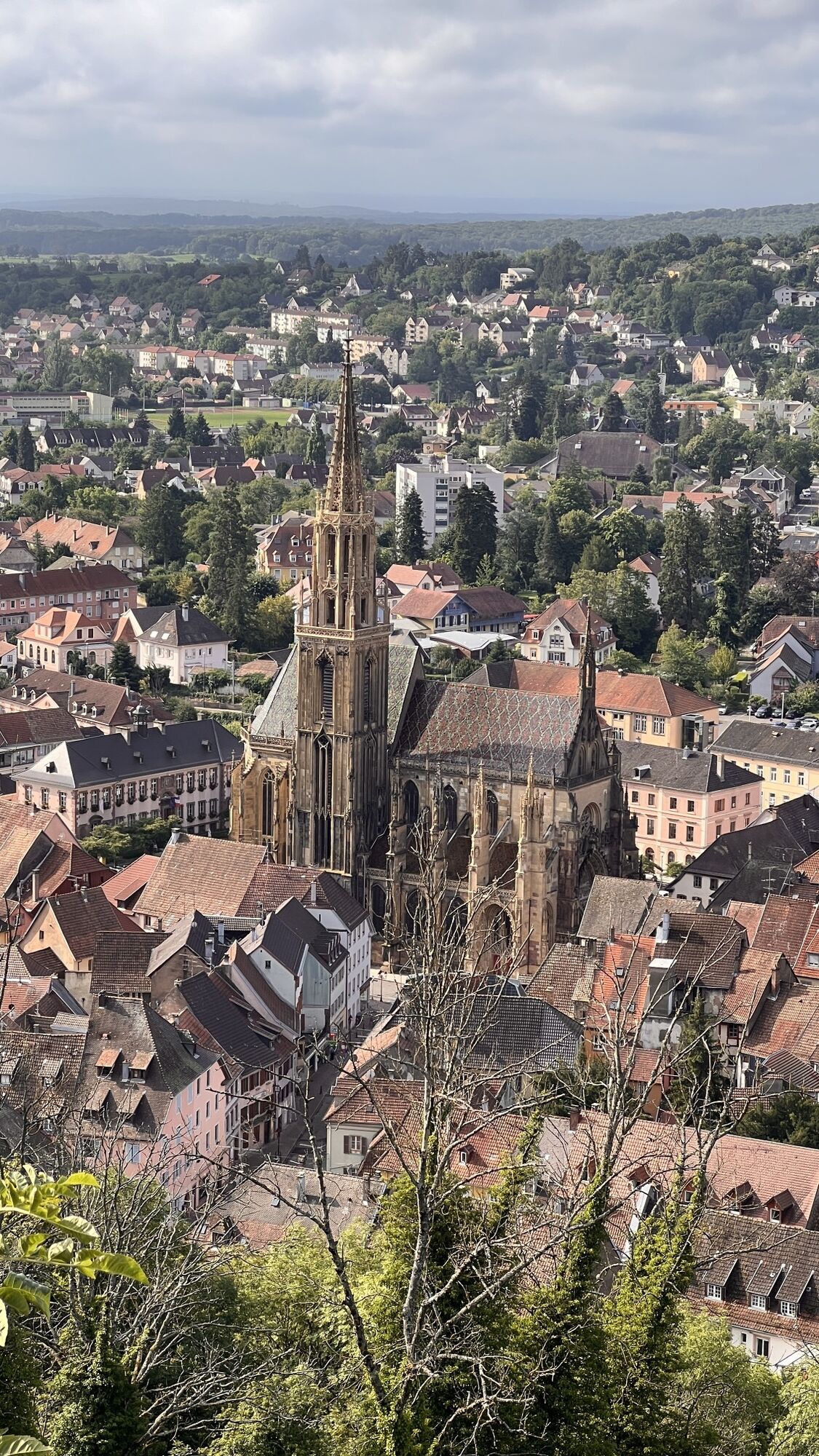
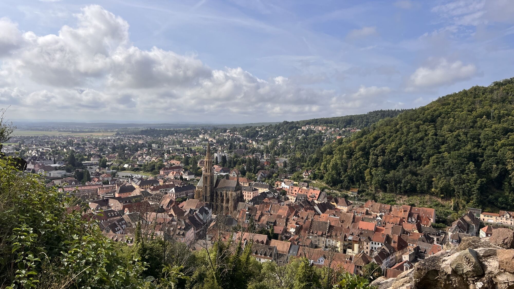
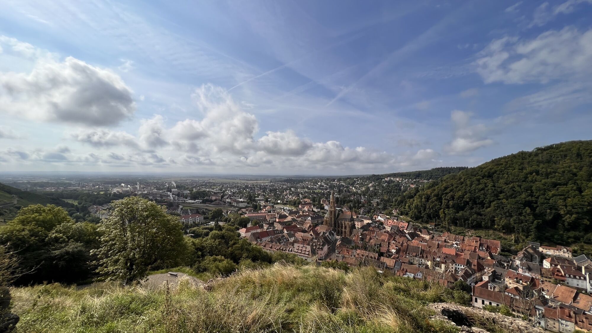
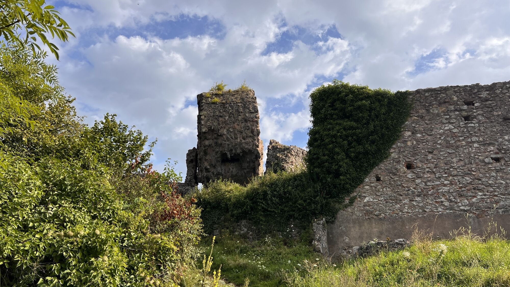
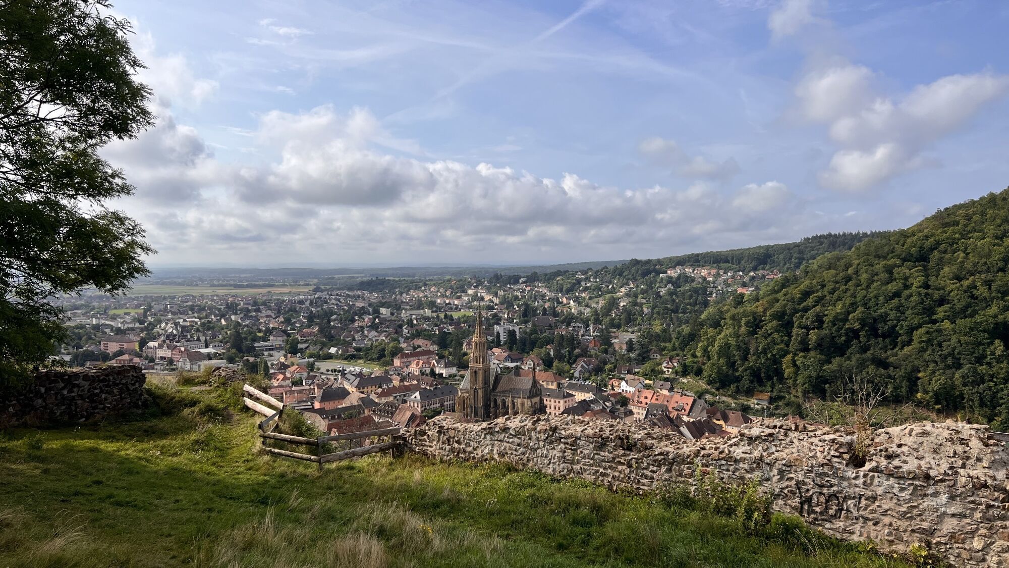
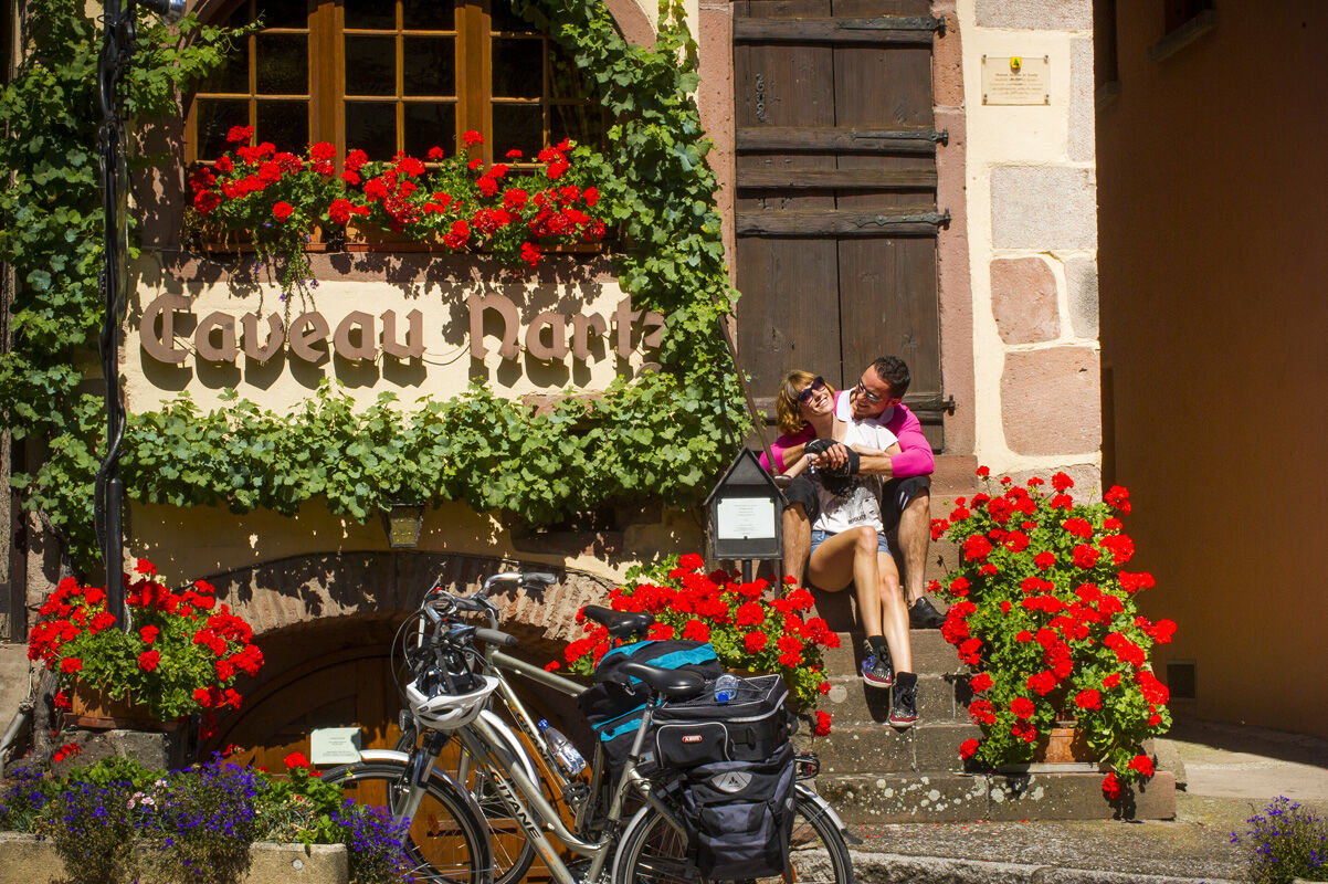
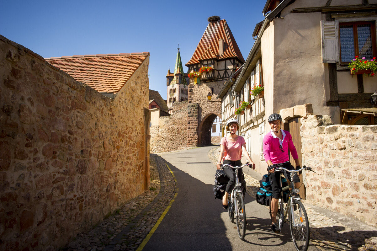
Throughout the route, take time to meet the winemakers, taste their wines, and get lost in the streets of medieval towns! Particularly charming towns and villages follow one another: Molsheim, birthplace of Bugatti, Rosheim with its Romanesque church Saint-Pierre-et-Paul, Obernai and its Belfry Square, Barr and its Renaissance Town Hall, Dambach-la-Ville and its fortified enclosure, Scherwiller where you can see the ruins of Ortenbourg, then Orschwiller at the foot of Haut-Koenigsbourg castle, one of the most visited monuments in Alsace.
The route continues through Bergheim surrounded by 14th-century ramparts and towers, Turckheim which invites you to follow its night watchman every summer evening, Colmar, Capital of Alsace Wines, and Eguisheim, the French people's favorite village! Straight on to Rouffach and its Witch Tower, the itinerary then winds through vineyards with Grand Cru appellations, from Soultzmatt to Orschwihr, to reach Guebwiller and the Dominican convent of Upper Alsace, a major musical center. Just above, you can clearly see the Grand Ballon, the highest point of the Vosges.
From Bucheneck castle in Soultz to the fortified cemetery of Hartmannswiller, then along the refreshing Thur river from Cernay and its Stork Park, you reach Thann and the southern gateway to the Alsace Wine Route, at the foot of the "Rangen", a very steep slope that is harvested by rappel.
Ano
Before setting off:
Make sure the bike is in perfect mechanical condition, including tires and brakes Ensure the bike is properly adjusted to your body shape Wearing a helmet is strongly recommended Bring a repair kit Remember that the Highway Code applies to cyclists at all times Never ride more than two abreast and move into a single file when traffic conditions require it Respect other road users as you would like them to respect you Choose a route suited to your physical abilities Inform your relatives of your route Check the weather conditions A first aid kit is not essential but can be very useful Inform yourself and keep emergency phone numbers handy Respect the environment by not throwing your food wrappers on the roadside If you need to return at nightfall, make sure you can see and be seen
Emergency number: 112
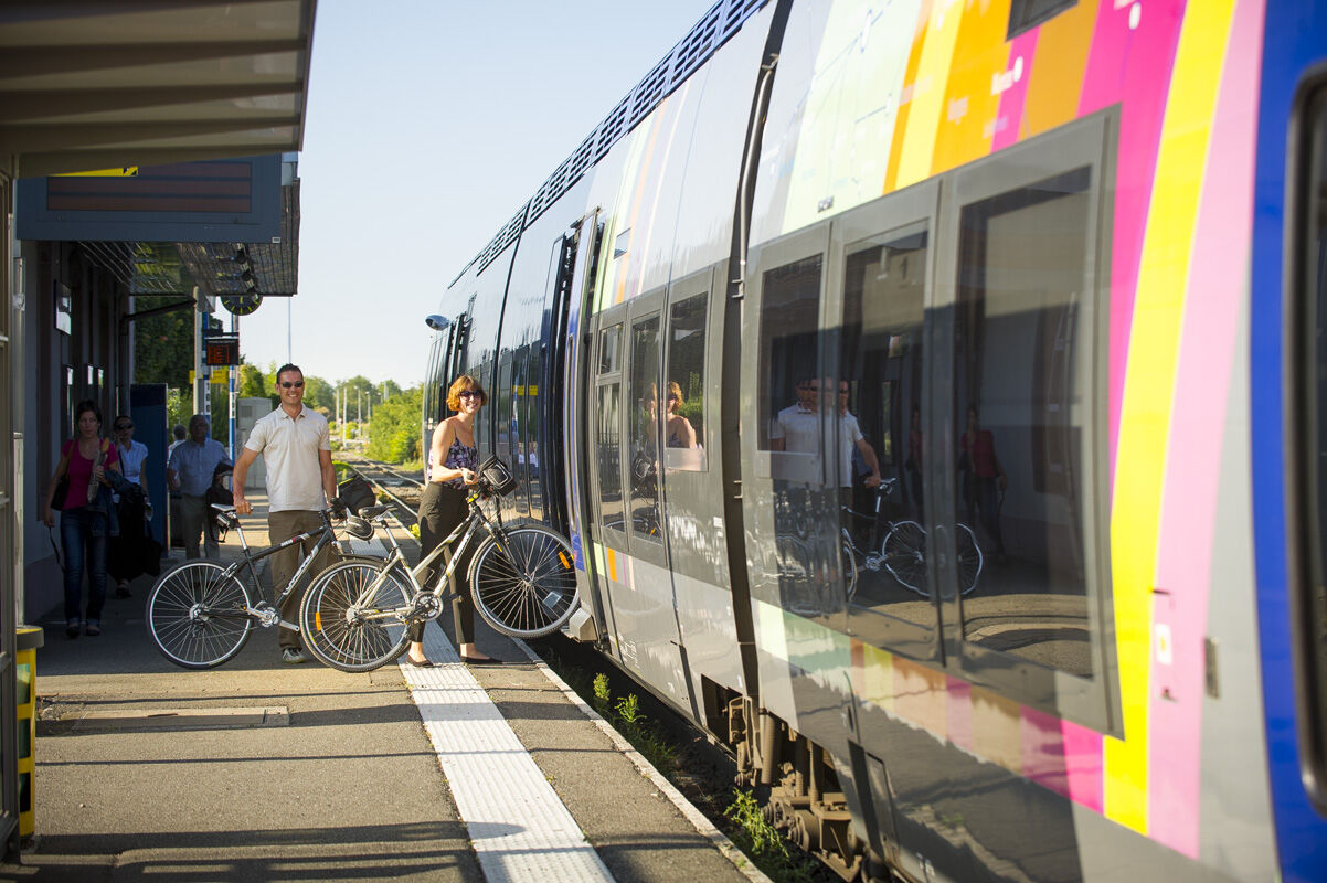
Marlenheim and Thann are served by train. All details on www.sncf.com
Parking near the starting point. Note that some parking spots may be paid.
4
Route with little shade. Enjoy this route over several days.
Oblíbené prohlídky v okolí
- 3,5
Ribeauvillé-Riquewihr between forest and vineyard
středníTuristika12,5 km Bike route: BL128 - Around Colmar, capital of Alsace wines
světloJízda na kole23,3 kmBike route: BL320 - The Décapole through vineyards and slopes
světloJízda na kole20,2 km- 3,0
Tour Haut-Koenigsnourg de St Hypolite
světloTuristika11,8 km Wandelen boven Kaysersberg. Vogezen.
světloTuristika9,40 kmSaint Hippolyte - Haut Kœnigsbourg
světloTuristika12,4 kmIngersheim bis Kaysesberg, Frankreich
světloElektrokola26,1 km- 5,0
Radltour an der Elsässer Weinstraße
středníElektrokola43,9 km - 4,0
Circuit rando - tour du petit et grand Hohnack
středníTuristika7,07 km Bike route: BL459 - Ride through the orchards around Colmar
světloJízda na kole24,1 km
Pěší turistika a stopování


Nenechte si ujít nabídky a inspiraci pro vaši příští dovolenou
Vaše e-mailová adresa byl přidán do poštovního seznamu.