


RING ALONG THE TAGLIAMENTO RIVER


The route starts right behind the lakes in the Davost area along a path without CAI signs but wide, clear and popular. With the Tagliamento on the left you reach a first geologically interesting point:...
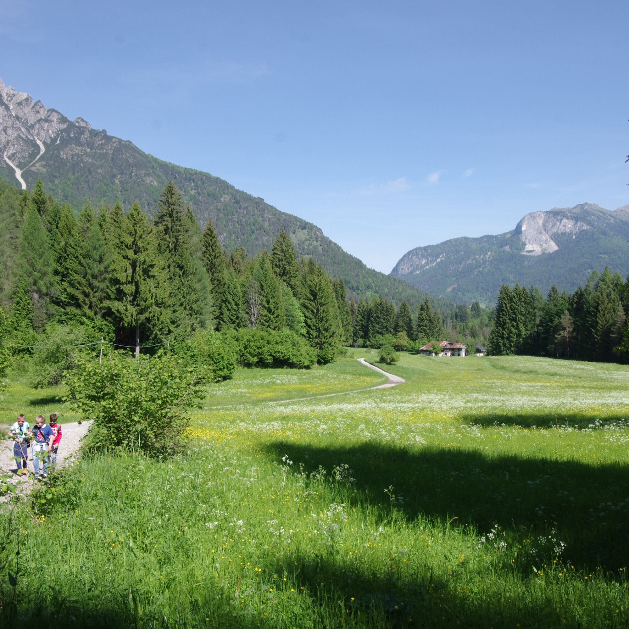
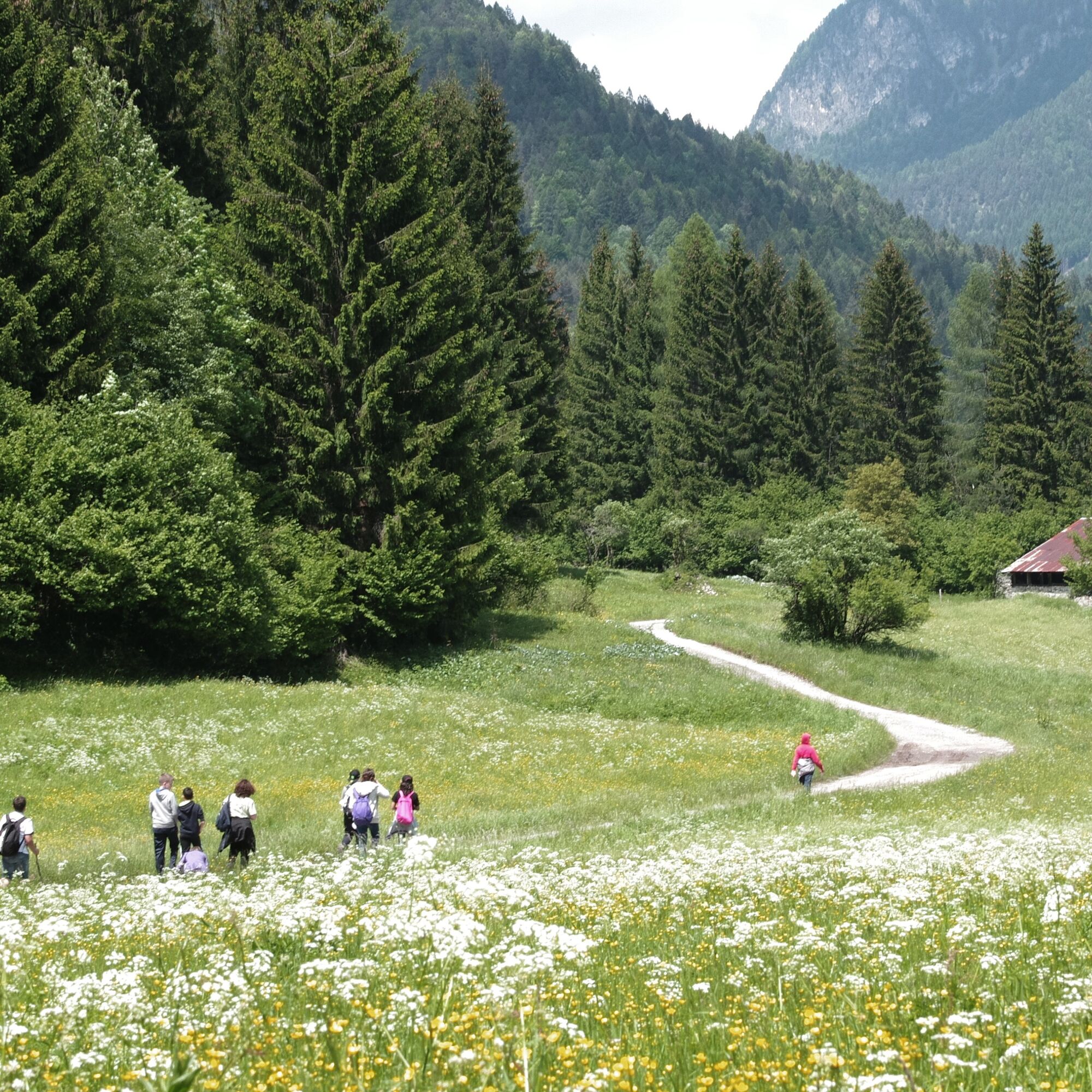
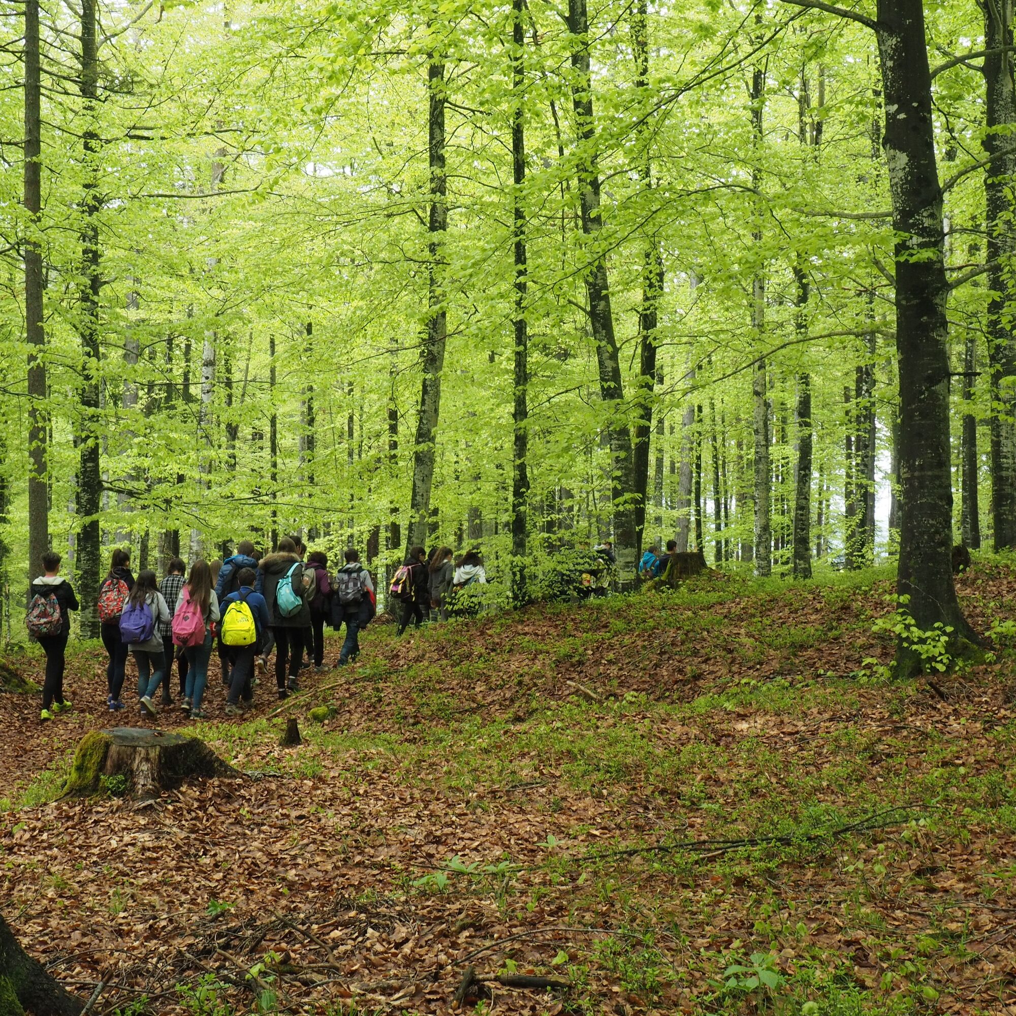
The route starts right behind the lakes in the Davost area along a path without CAI signs but wide, clear and popular. With the Tagliamento on the left you reach a first geologically interesting point: an outcrop of chalky rocks that generate a landslide-prone and unstable slope. Several interesting naturalistic engineering works have been carried out in this area that show how it is possible to operate in a non-invasive way on the territory. The path narrows but remains clear; crosses some small streams and passes near some mountain huts, some recovered as holiday homes. In these places you can read the history of a mountain area: the phases of mountain pasture with the first grazing along the slopes of the town, the abandonment of the same with the often uncontrolled regrowth of the forest, the varieties of fruit trees that grew near the farmhouses. Once you reach a bridge you cross it to take a short stretch on an asphalt road until you reach another bridge where you cross again to take the forest road in a south-east direction (the river remains on your left). After a few dozen meters on the right you find a large anthill of Formica rufa and immediately after a small peat bog rich in interesting flora and fauna species. Often these small wetlands are among the main containers of biodiversity of the mountain area. Continuing you arrive at the farmhouses and meadows of Località Piniei: one of the most open and panoramic meadows in the Fornese area. Continuing along the forest road you enter beech woods of the valley floor, a visit that is recommended especially in spring and winter for its incomparable colors. For the return, follow the mountain bike path that enters the beech forest (pay attention to the colored dots) and then re-emerges on the dirt road just before the Piniei locality. To vary the return, once you reach the first bridge crossed on the way there, we recommend following the path on the other side of the river or going up to the Borgo di Andrazza which is absolutely worth a visit for its architectural integrity.
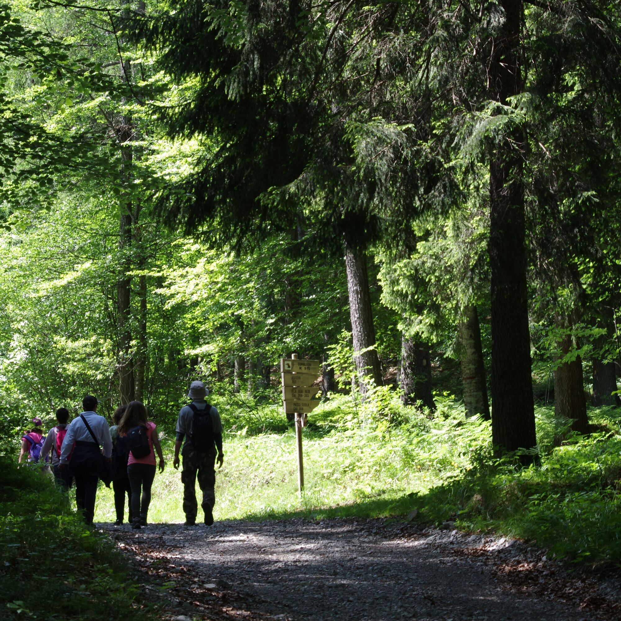
CAI 368 signpost
Ano
Ano
From hiking
https://app.parcodolomitifriulane.it/itinerari/semplici-per-tutti/anello-lungo-il-fiume-tagliamento/
Webové kamery z prohlídky
Oblíbené prohlídky v okolí
-
4.5
Tiziana Weiss Nature Trail
středníTuristika 9.23 km -
Multicoloured bell towers of M. Zauf
středníTuristika 14.2 km -
Colmajer ridge ring
středníTuristika 7.51 km -
Bivera and Clap Savon mountains from Casera Razzo alpine ride
heavyTuristika 20.5 km -
Urtisiel and Canpuros, dolomite wonders
středníTuristika 13.5 km -
Gnome village - blue path
světloTuristika 5.71 km -
Gnome village - green path
světloTuristika 4.46 km -
Enchanted Forest
světloTuristika 5.16 km -
MOUNT DOSAIP
heavyTuristika 8.37 km -
MONTANAIA VALLEY BELL TOWER BELVEDERES TRAIL
světloTuristika 3.07 km
Pěší turistika a stopování


Nenechte si ujít nabídky a inspiraci pro vaši příští dovolenou
Vaše e-mailová adresa byl přidán do poštovního seznamu.