


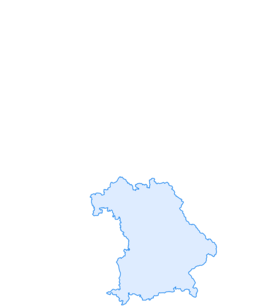

Mountain route - Hinteres Hörnle from Grafenaschau
Fotografie našich uživatelů
 © GmiasmoVytvořeno dne 05.04.2026
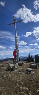 © GmiasmoVytvořeno dne 05.04.2026
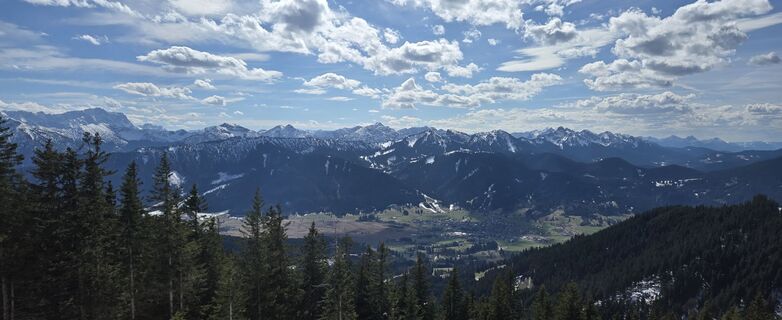 © GmiasmoVytvořeno dne 05.04.2026
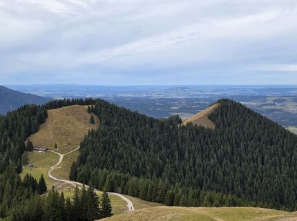
 © Christian SchüllerVytvořeno dne 16.11.2025
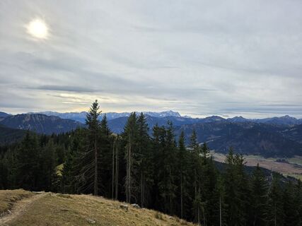 © Christian SchüllerVytvořeno dne 16.11.2025
 © Christian SchüllerVytvořeno dne 16.11.2025
 © Christian SchüllerVytvořeno dne 16.11.2025
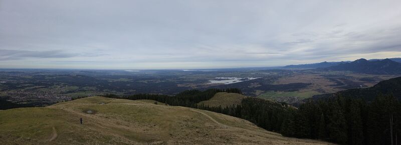 © Christian SchüllerVytvořeno dne 16.11.2025
 © Christian SchüllerVytvořeno dne 16.11.2025
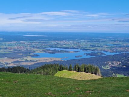
 © Wanderbursche66Vytvořeno dne 04.10.2025
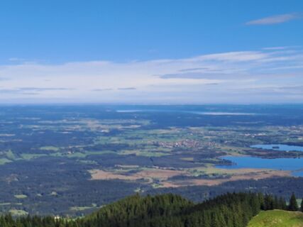 © Wanderbursche66Vytvořeno dne 04.10.2025
 © Wanderbursche66Vytvořeno dne 04.10.2025
 © Wanderbursche66Vytvořeno dne 04.10.2025
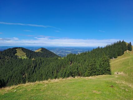 © Wanderbursche66Vytvořeno dne 04.10.2025
 © Wanderbursche66Vytvořeno dne 04.10.2025
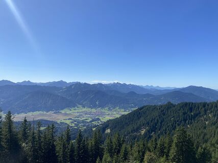
 © Jonas Wagner 3Vytvořeno dne 20.09.2025
 © Thomas SchekiraVytvořeno dne 11.09.2025
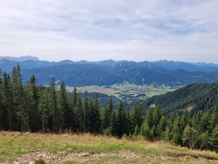 © FelixVytvořeno dne 07.09.2025
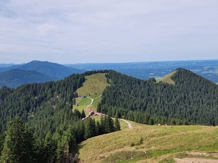 © FelixVytvořeno dne 07.09.2025
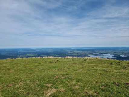 © FelixVytvořeno dne 07.09.2025
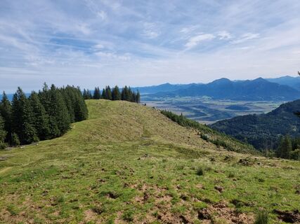 © FelixVytvořeno dne 07.09.2025
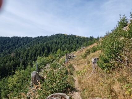 © FelixVytvořeno dne 07.09.2025
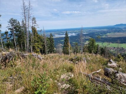 © FelixVytvořeno dne 07.09.2025
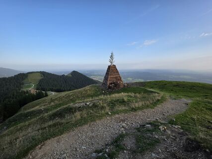 © Rainer KieningVytvořeno dne 15.08.2025
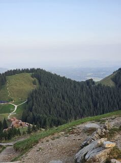 © Rainer KieningVytvořeno dne 15.08.2025
 © Rainer KieningVytvořeno dne 15.08.2025
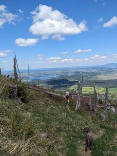 © Peter BendelVytvořeno dne 10.05.2025
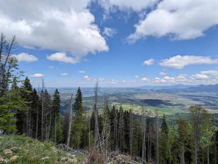 © Peter BendelVytvořeno dne 10.05.2025
 © Peter BendelVytvořeno dne 10.05.2025
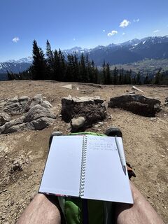
 © Jürgen SpitzkopfVytvořeno dne 04.04.2025
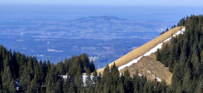 © Thomas SchekiraVytvořeno dne 04.03.2025
 © Thomas SchekiraVytvořeno dne 04.03.2025
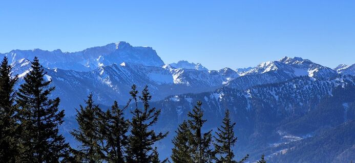 © Thomas SchekiraVytvořeno dne 04.03.2025
 © Thomas SchekiraVytvořeno dne 04.03.2025
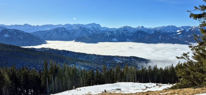 © Thomas SchekiraVytvořeno dne 02.02.2025
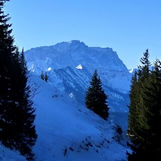 © Thomas SchekiraVytvořeno dne 02.02.2025
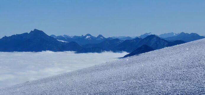 © Thomas SchekiraVytvořeno dne 02.02.2025
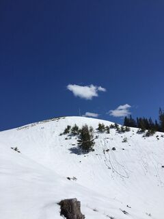 © Jürgen SpitzkopfVytvořeno dne 27.04.2024
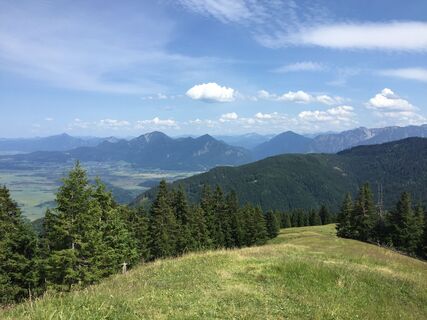 © Jürgen SpitzkopfVytvořeno dne 09.07.2023
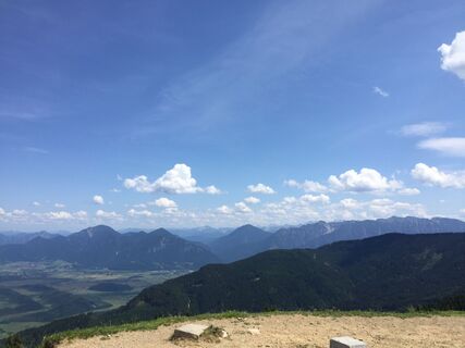 © Jürgen SpitzkopfVytvořeno dne 09.07.2023
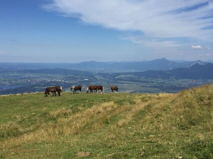 © Jürgen SpitzkopfVytvořeno dne 10.08.2022
 © Jürgen SpitzkopfVytvořeno dne 10.08.2022
 © Jürgen SpitzkopfVytvořeno dne 10.08.2022
 © Jürgen SpitzkopfVytvořeno dne 10.08.2022
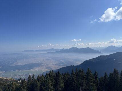
 © Matthias A.Vytvořeno dne 22.03.2026
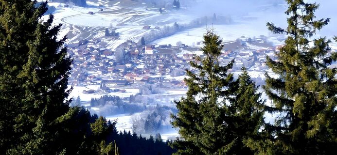 © Thomas SchekiraVytvořeno dne 18.01.2026
 © Thomas SchekiraVytvořeno dne 18.01.2026
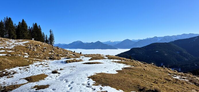 © Thomas SchekiraVytvořeno dne 18.01.2026
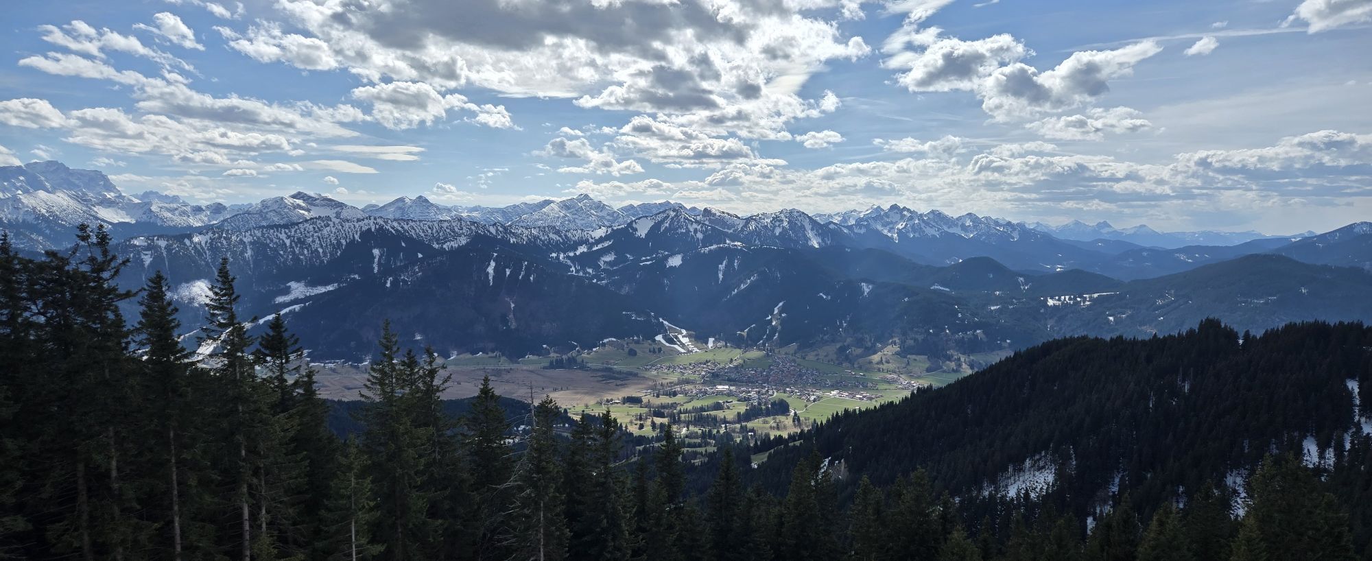
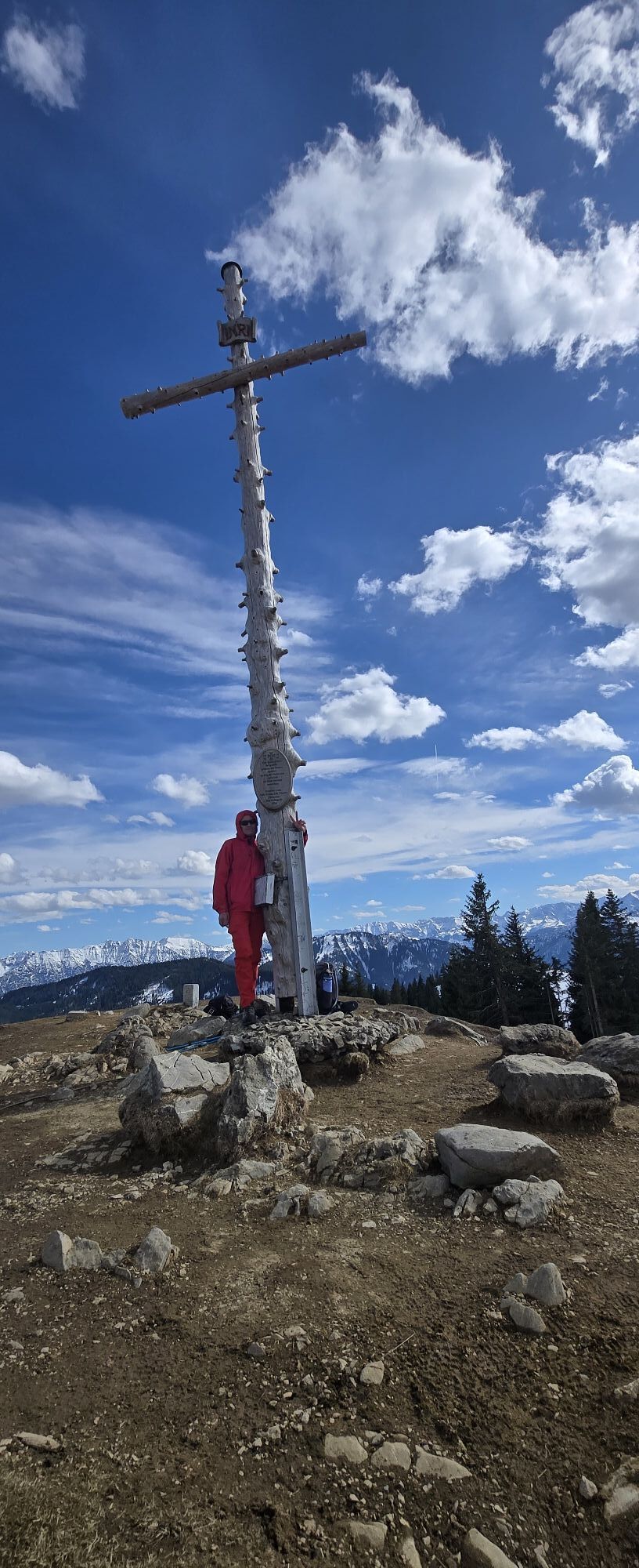


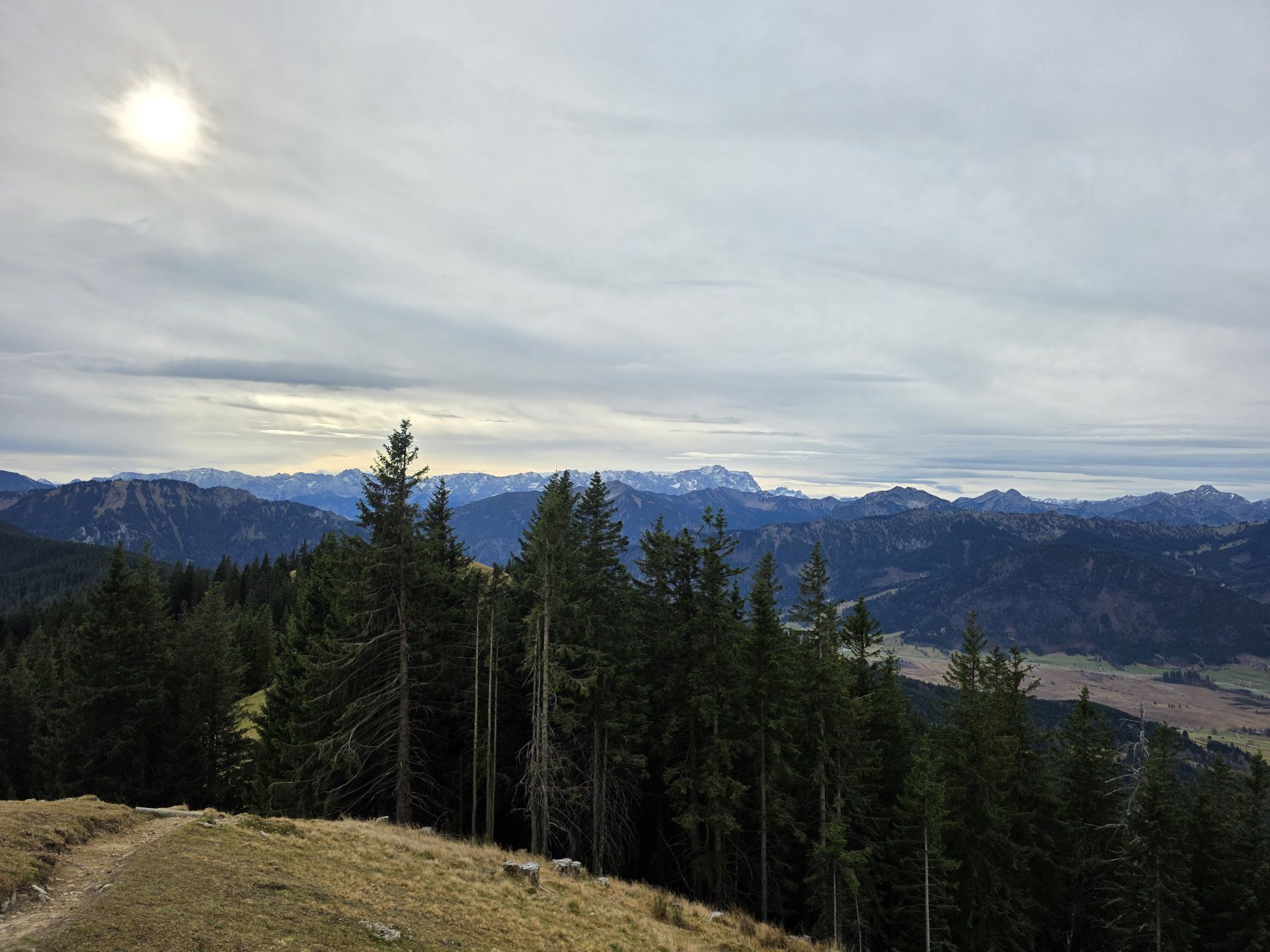
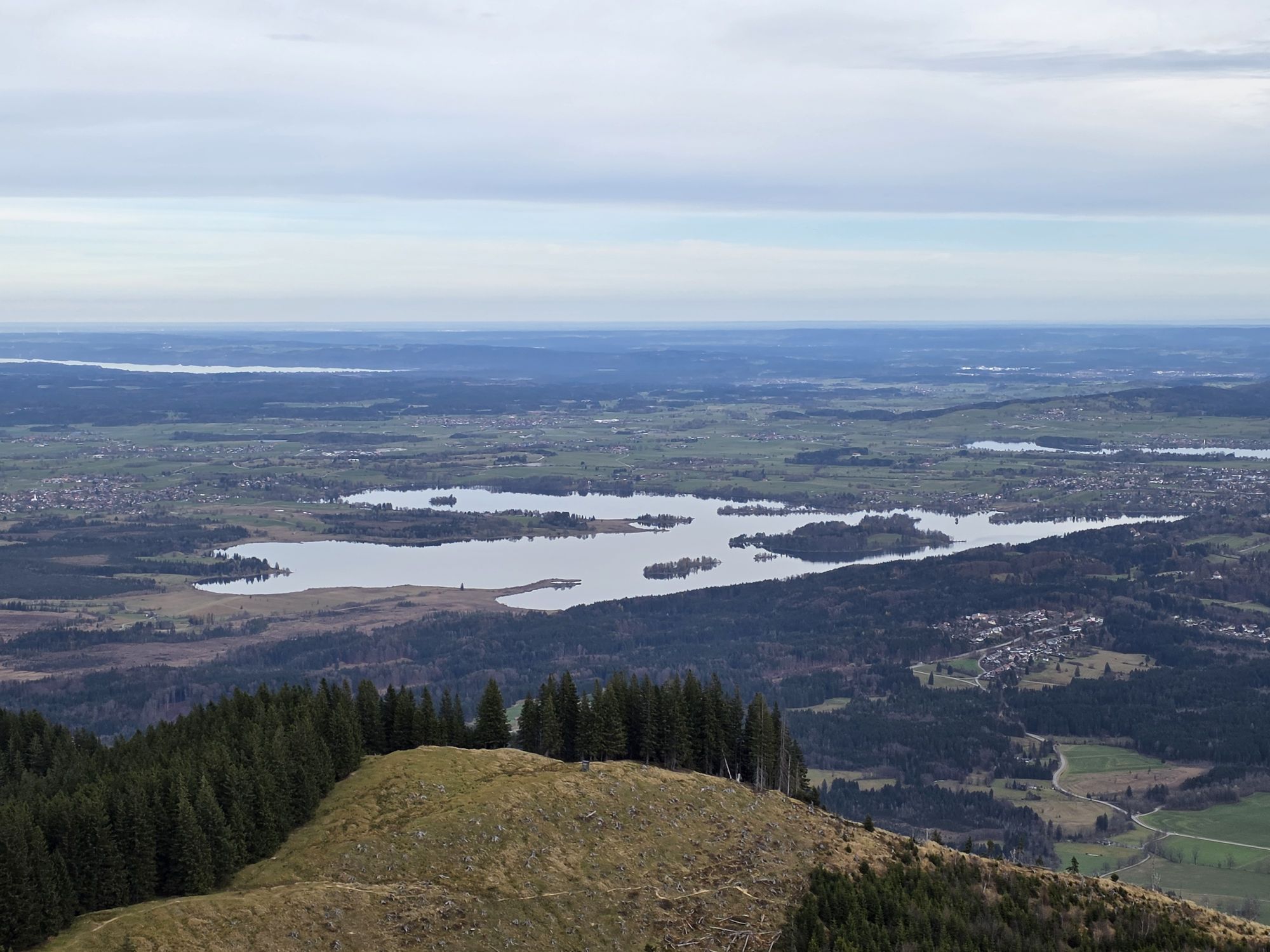
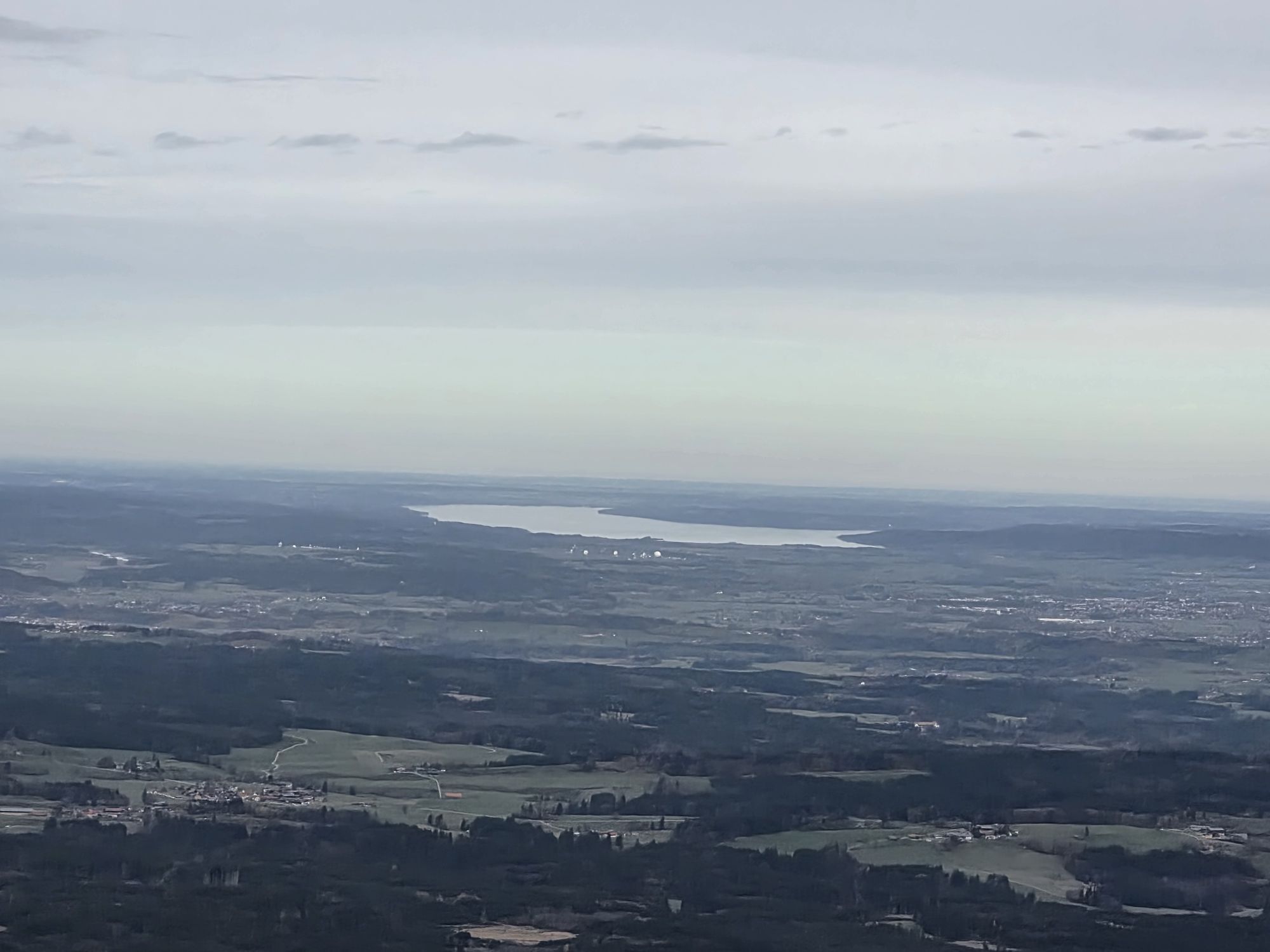
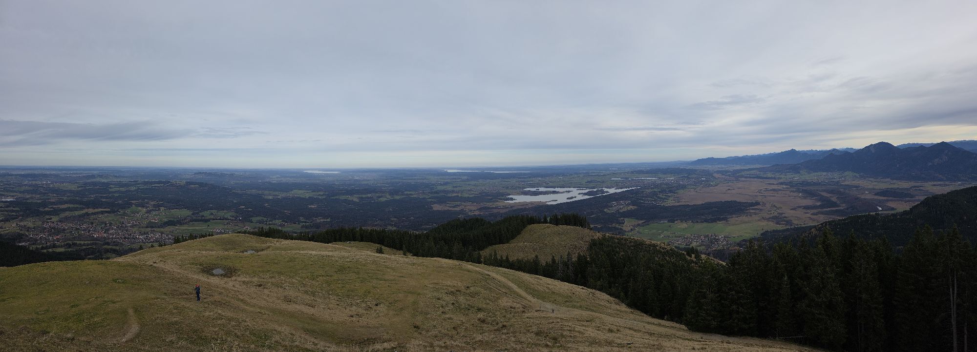
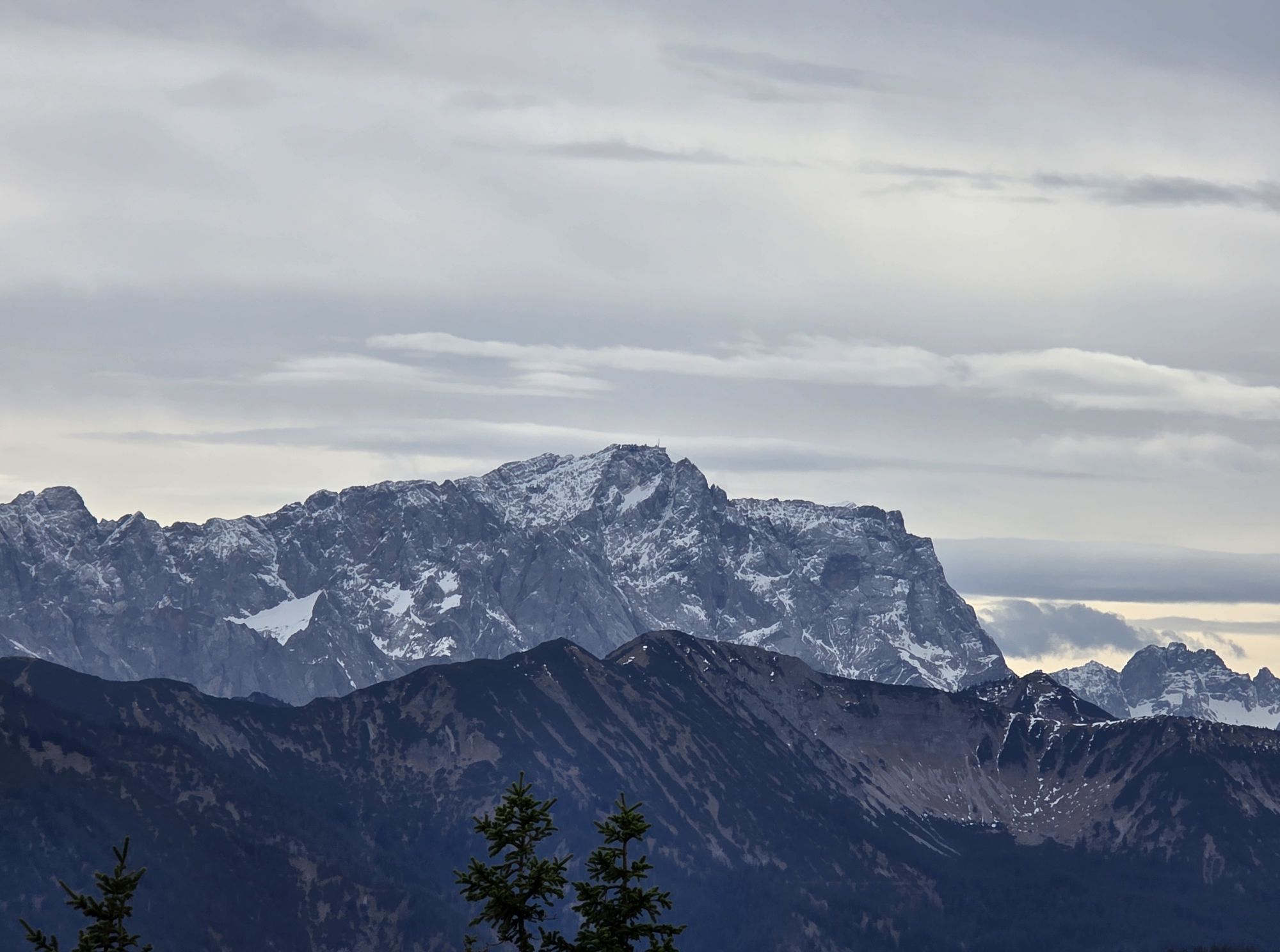
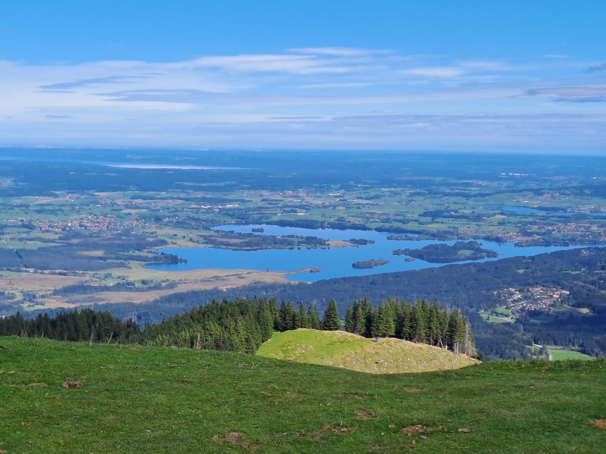

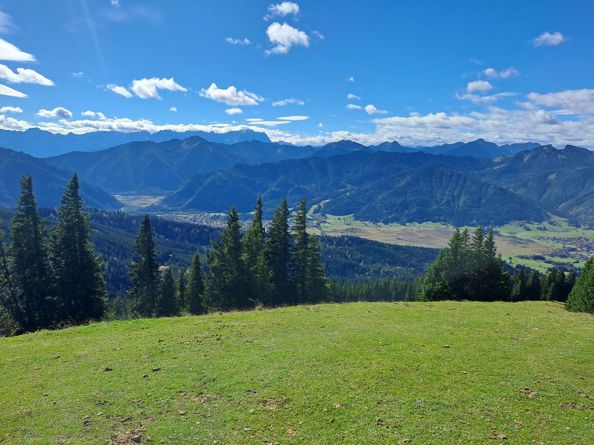
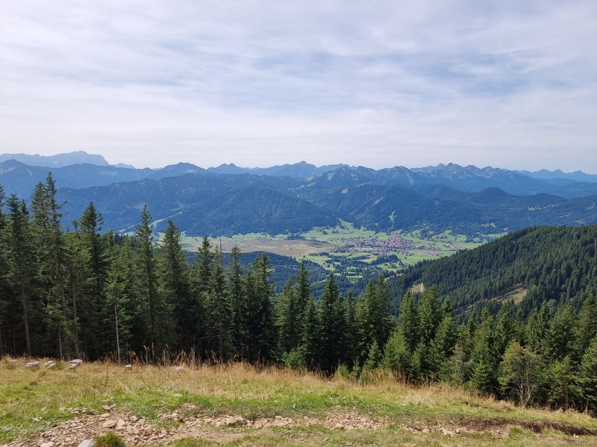

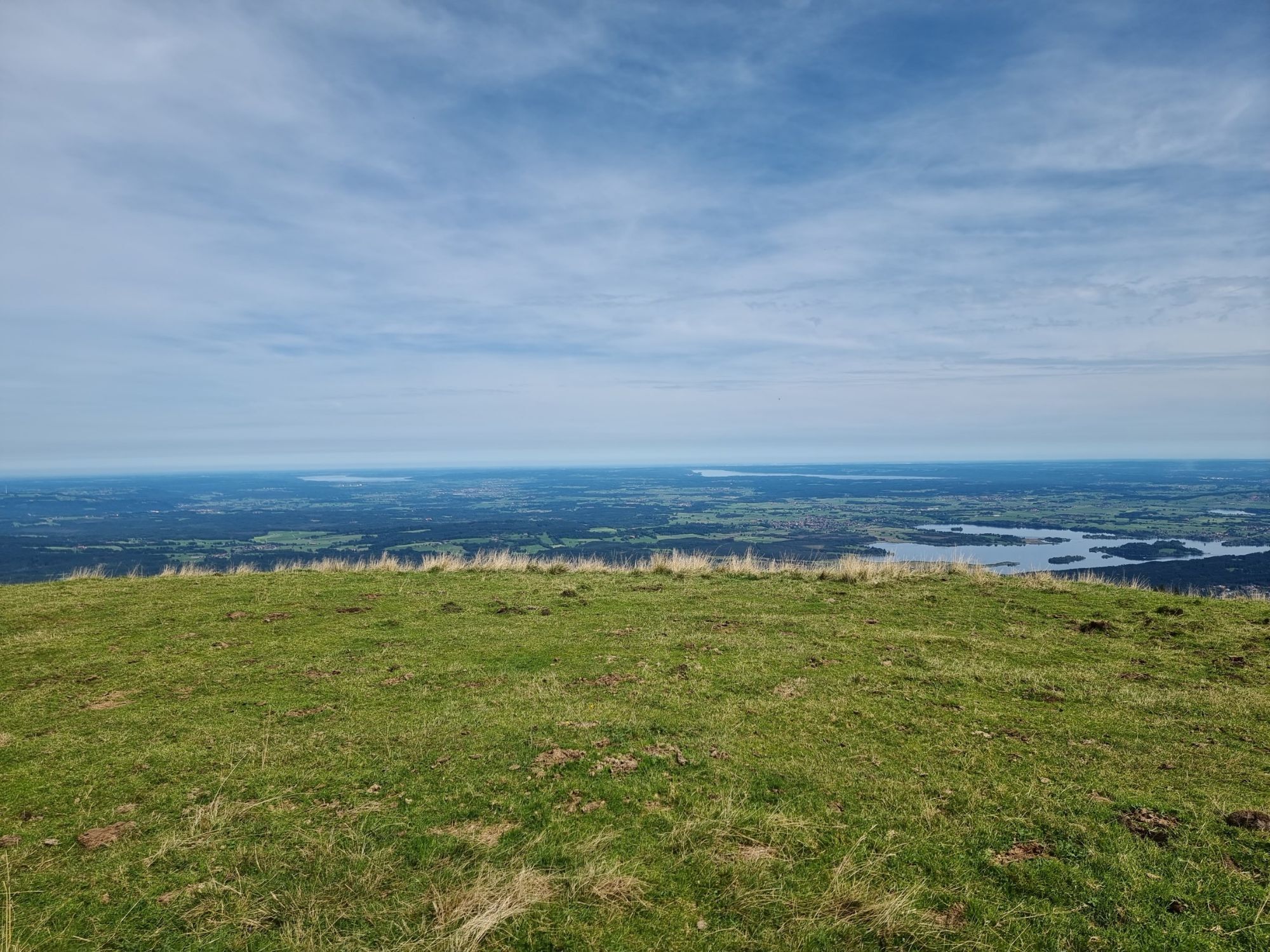
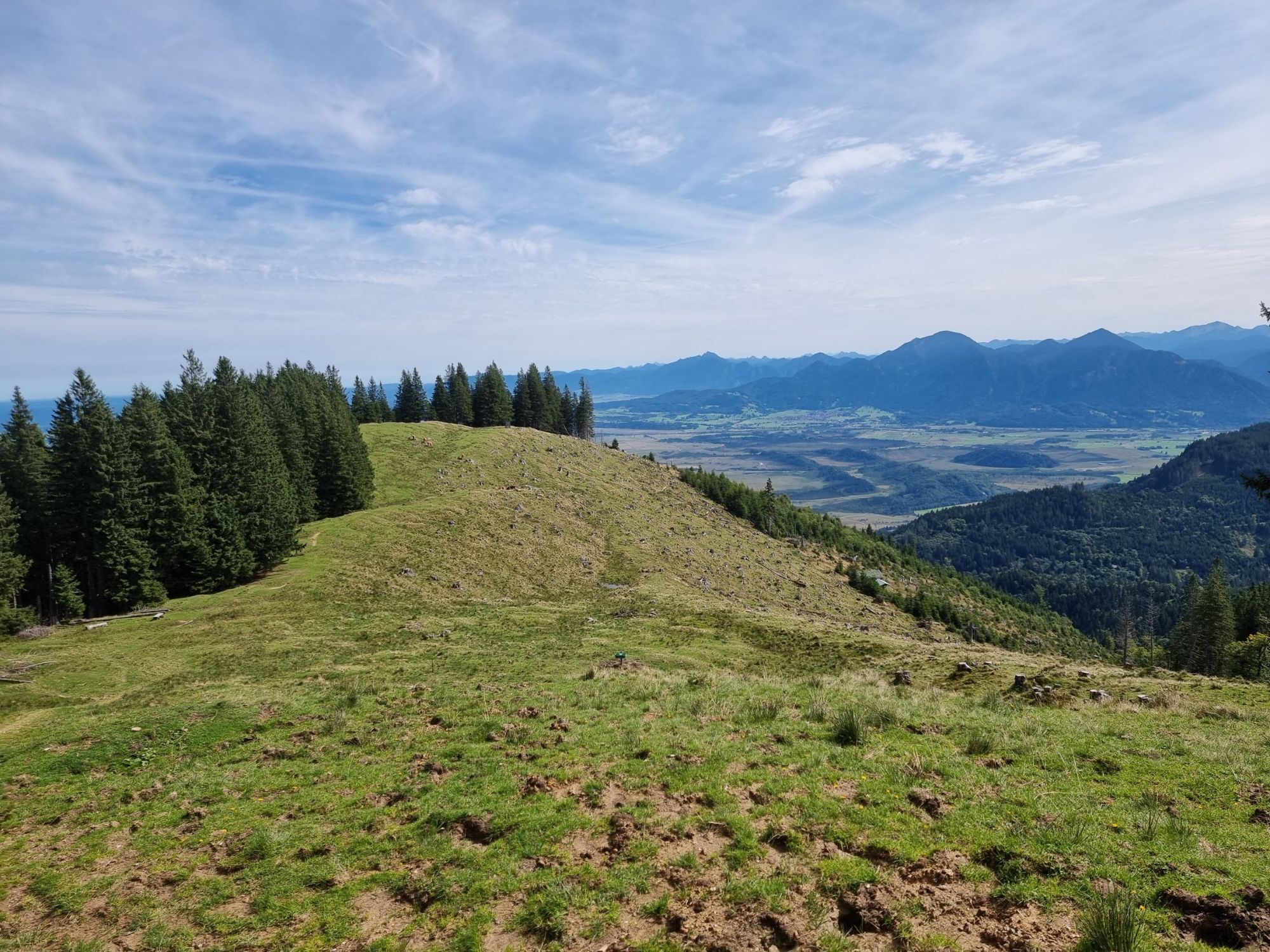
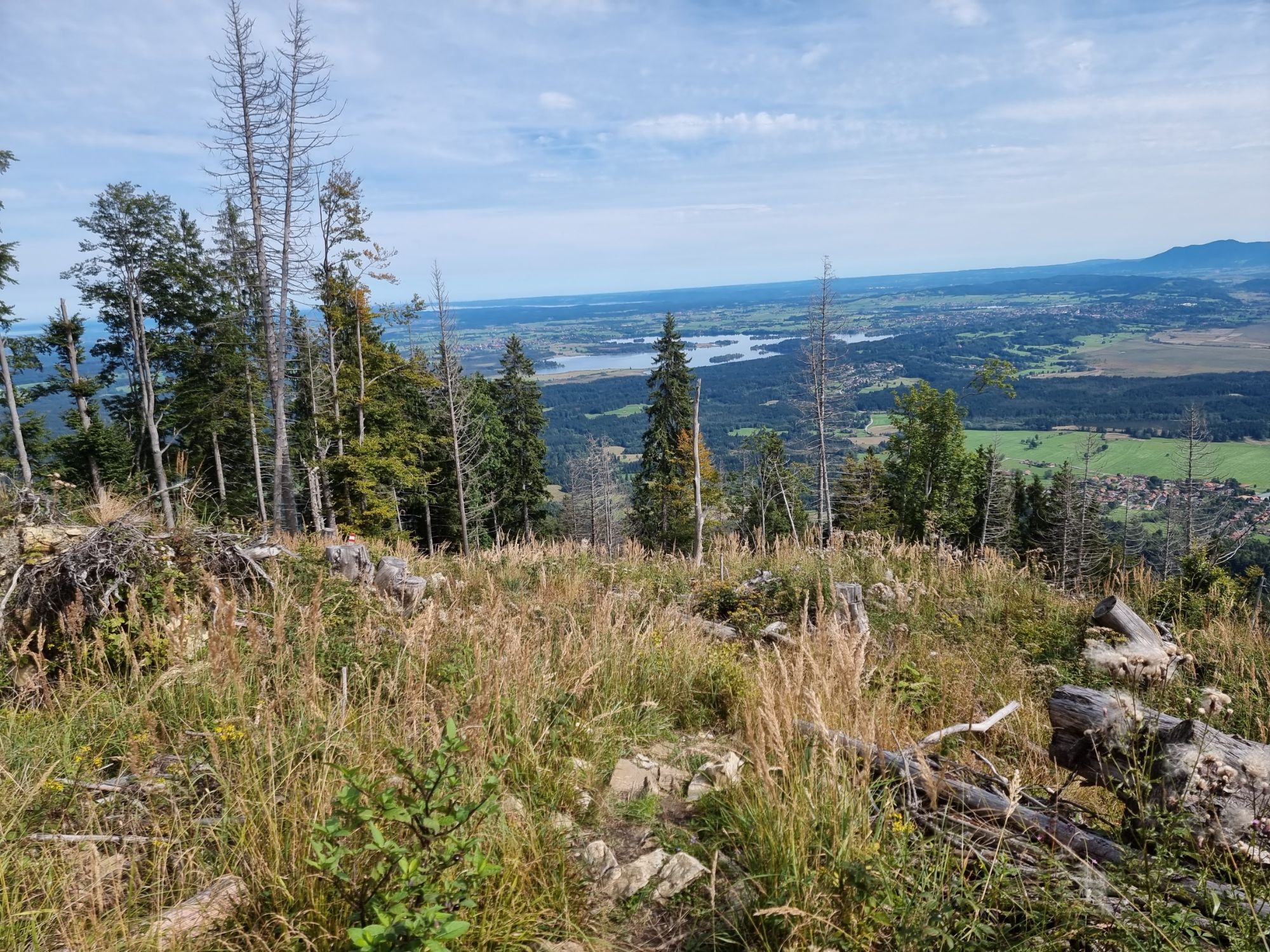


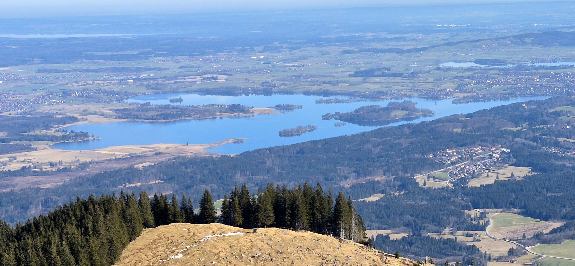

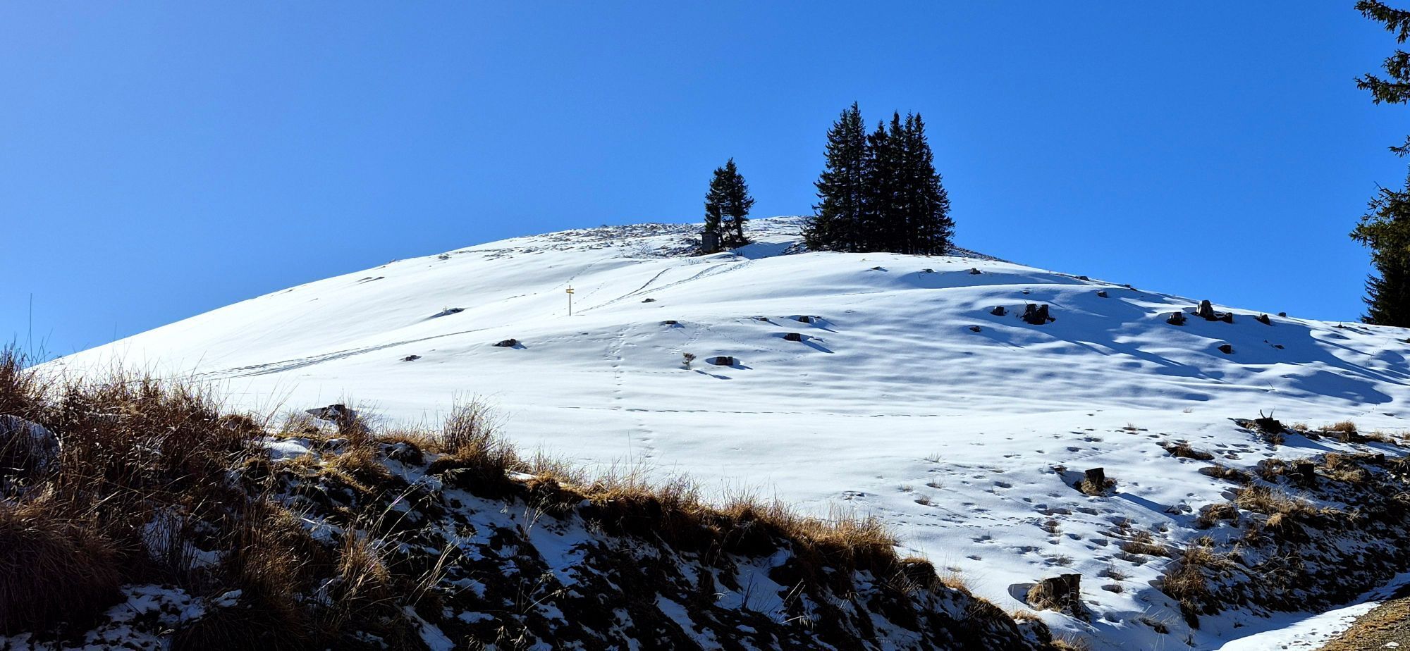
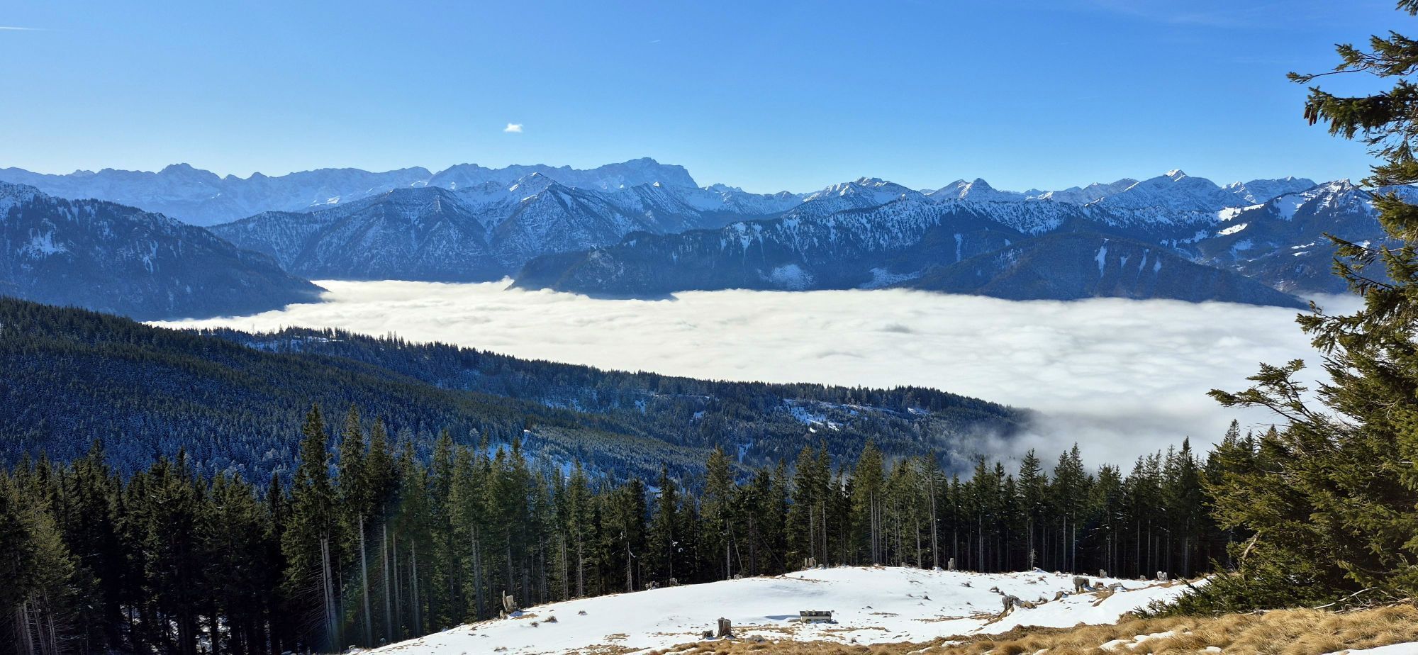

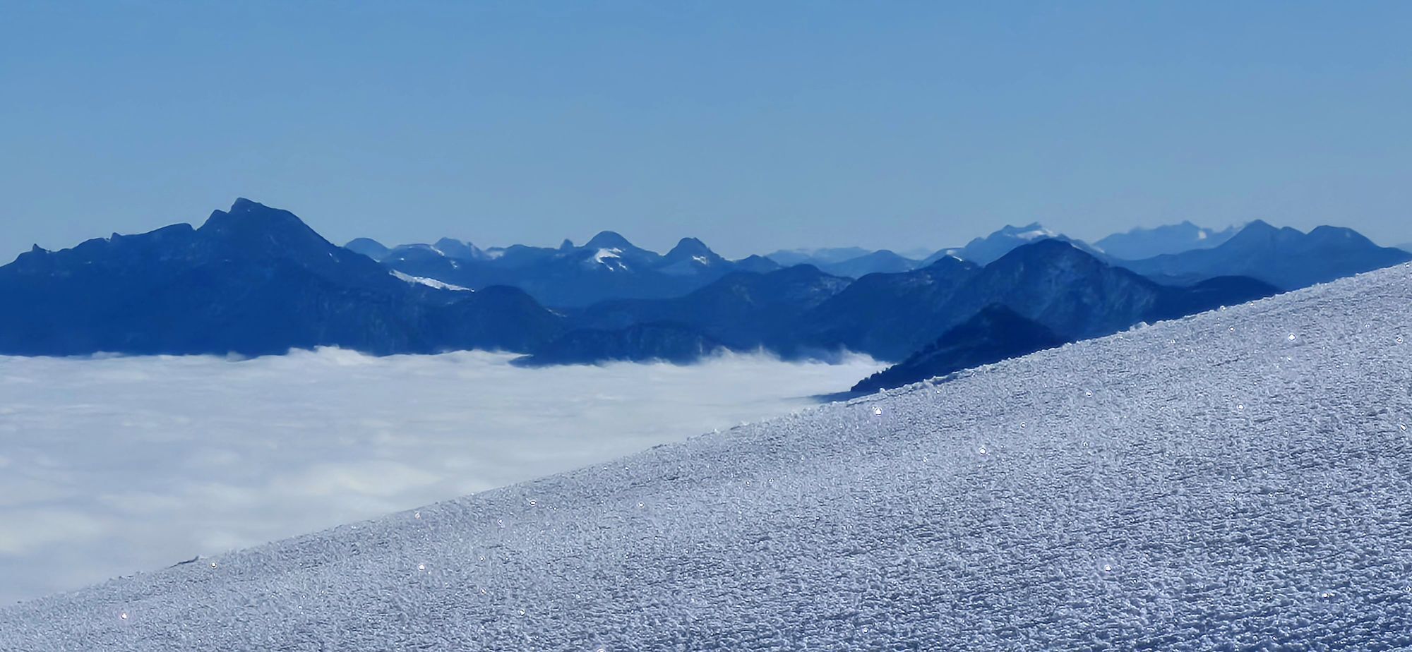

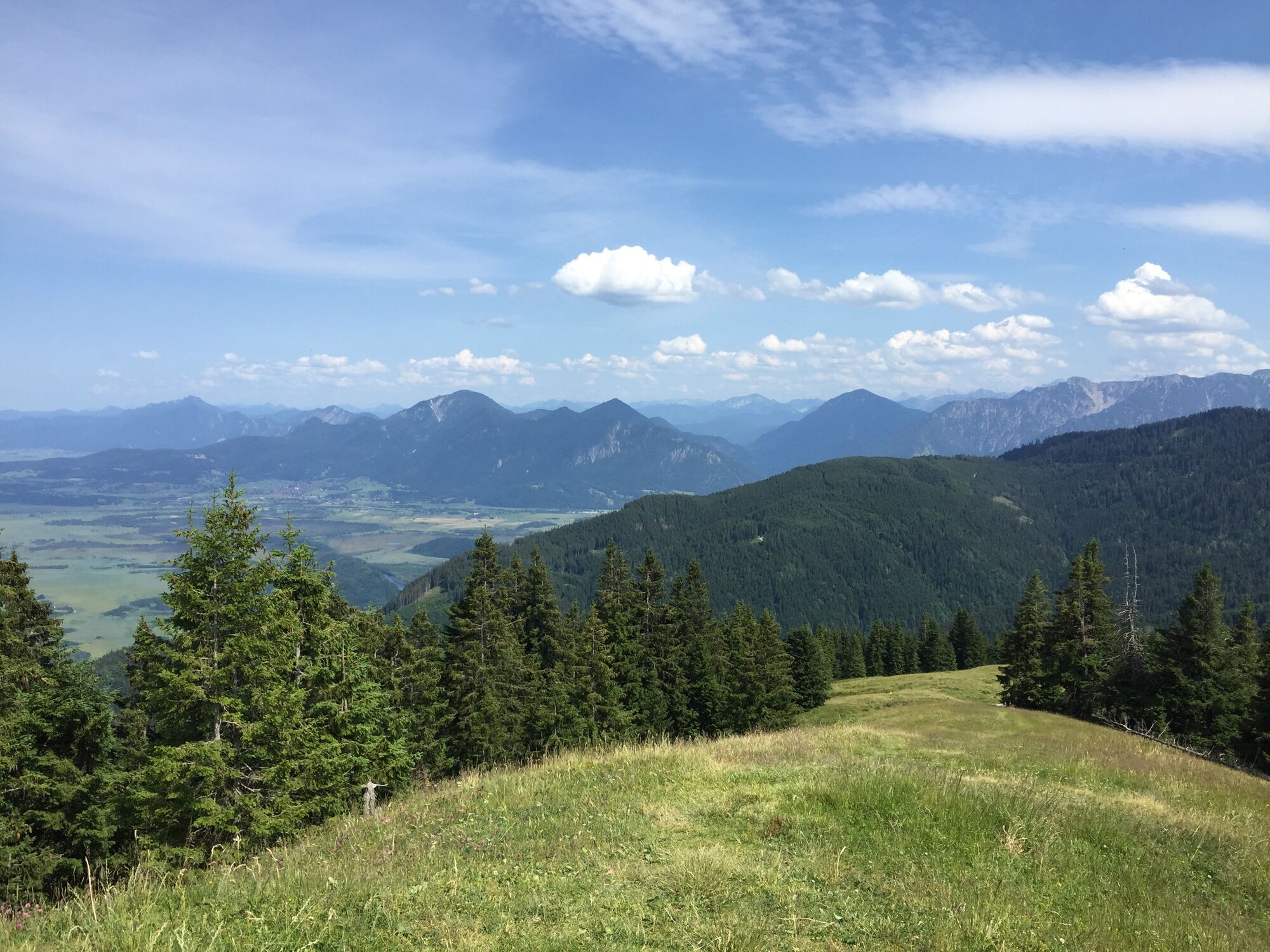
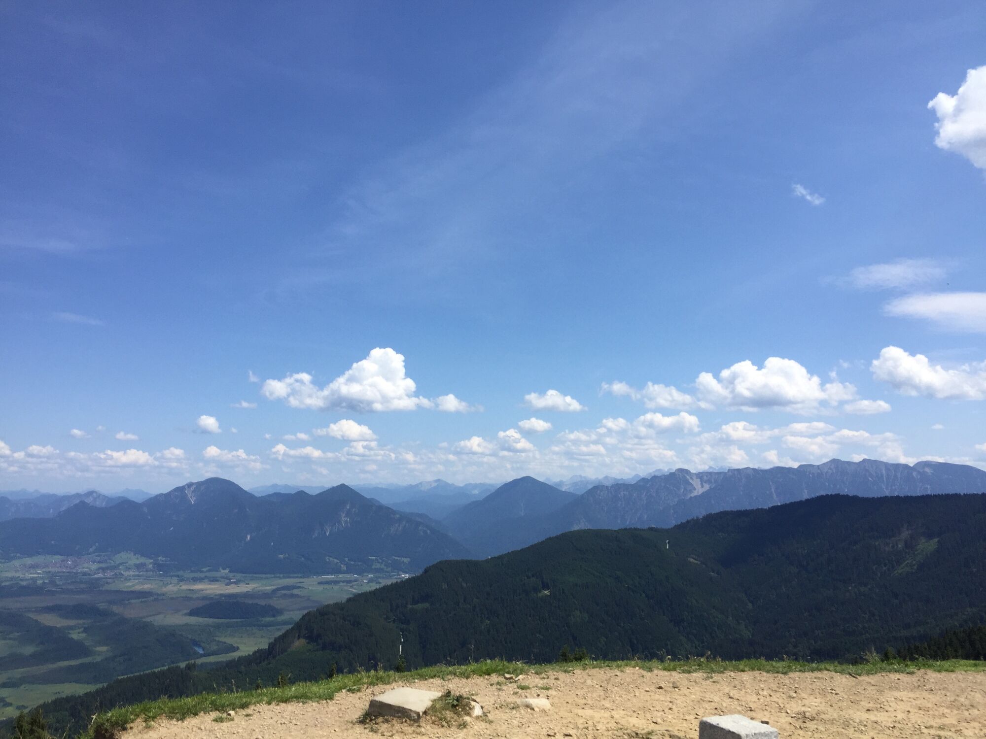


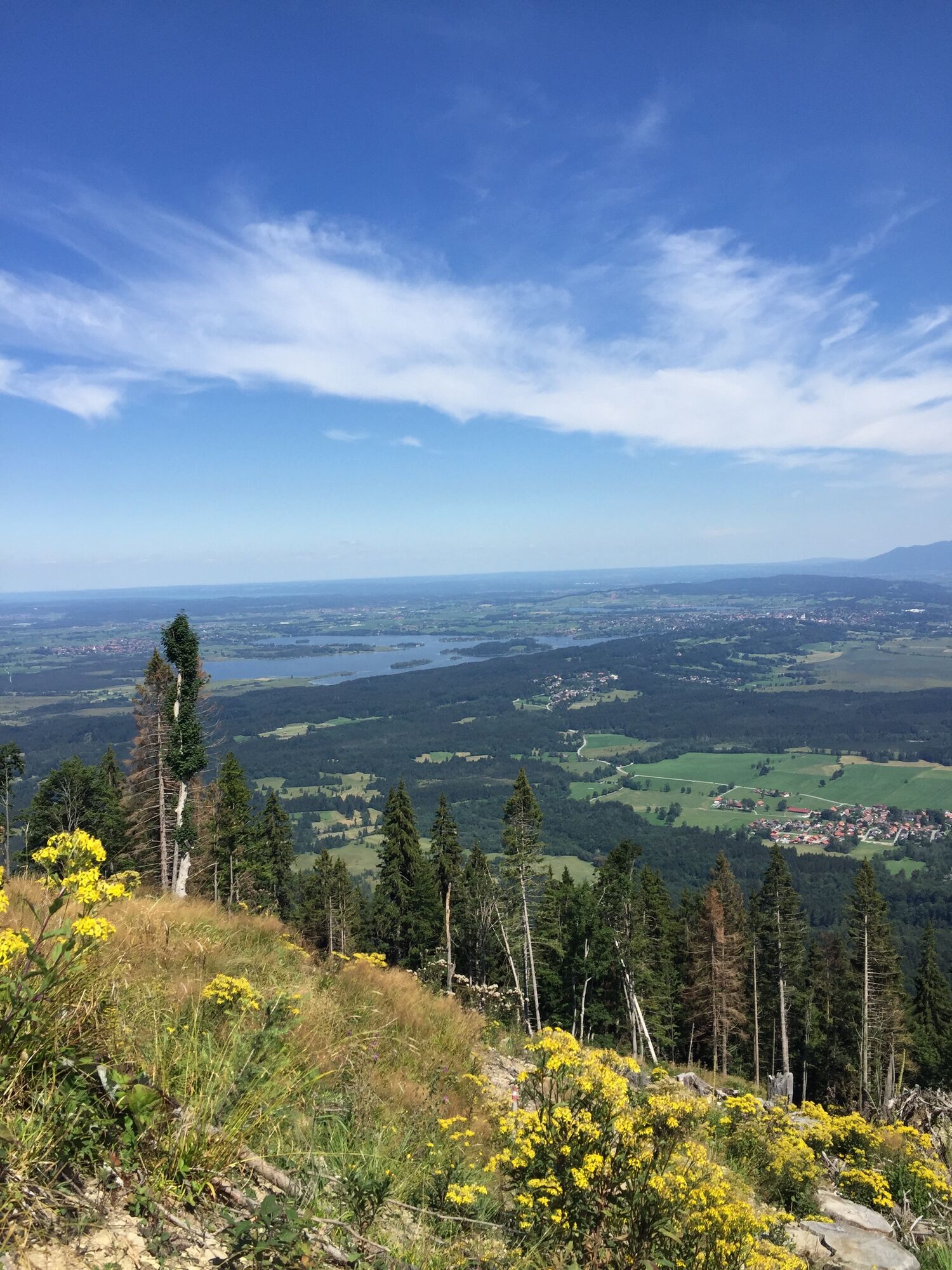


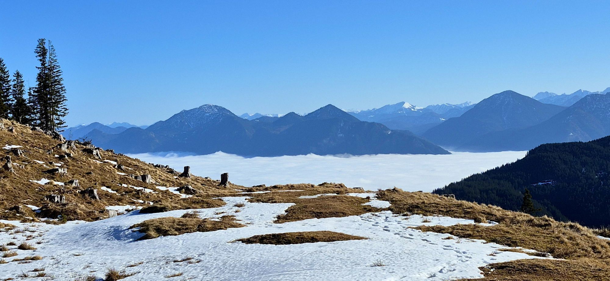

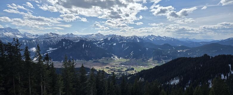
Dreamlike circular hike to Hinteres Hörnle and Stierkopf. From the summit, you have a wonderful view of the lakes of the Blaues Land, the Ester Mountains, and the Ammergau Alps.
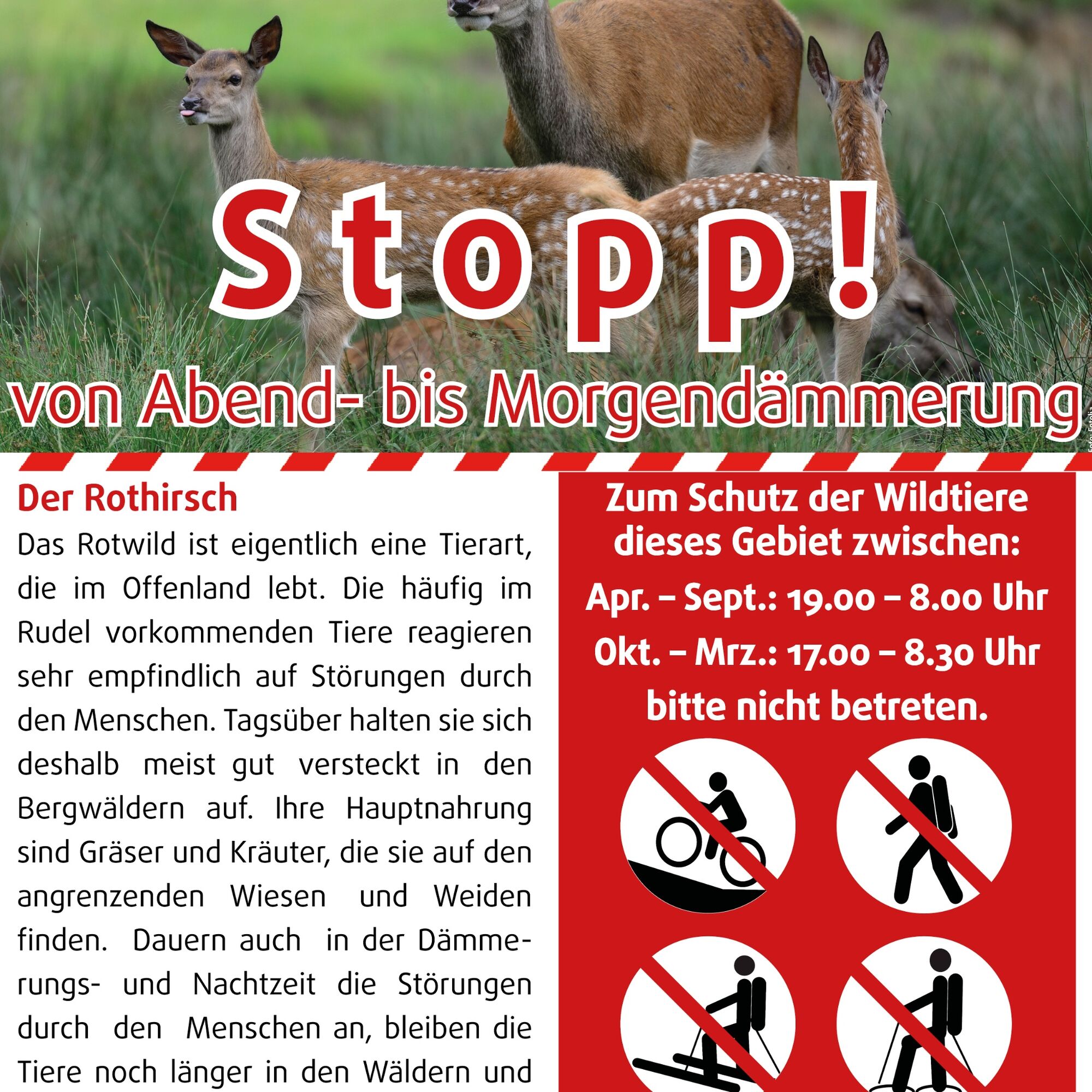
You are requested to avoid...
Dreamlike circular hike to Hinteres Hörnle and Stierkopf. From the summit, you have a wonderful view of the lakes of the Blaues Land, the Ester Mountains, and the Ammergau Alps.
You are requested to avoid the area from the Middle and Hinteres Hörnle between evening and dawn!

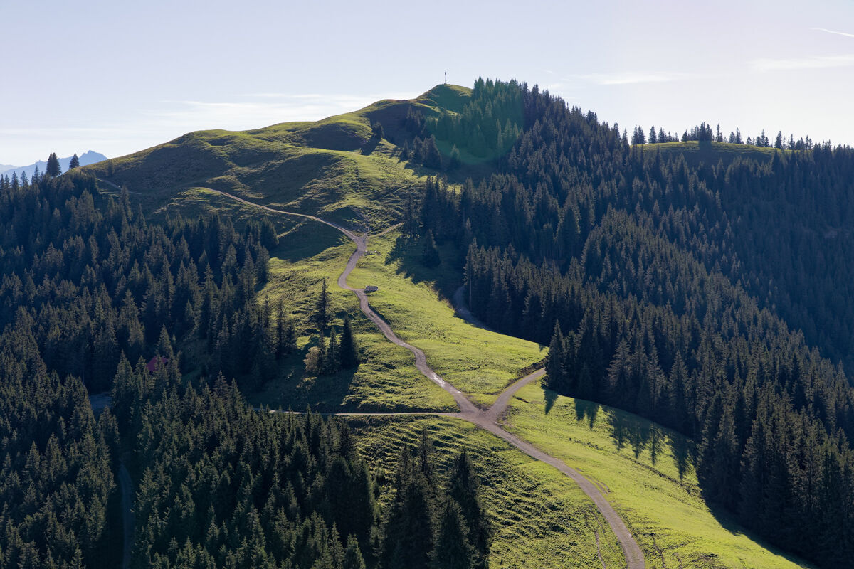
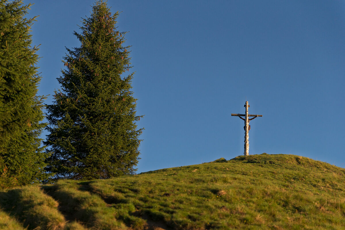
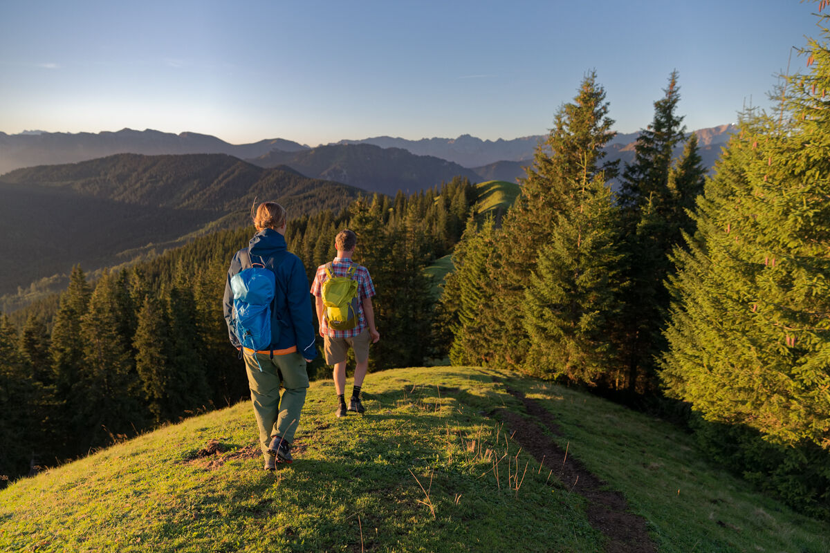
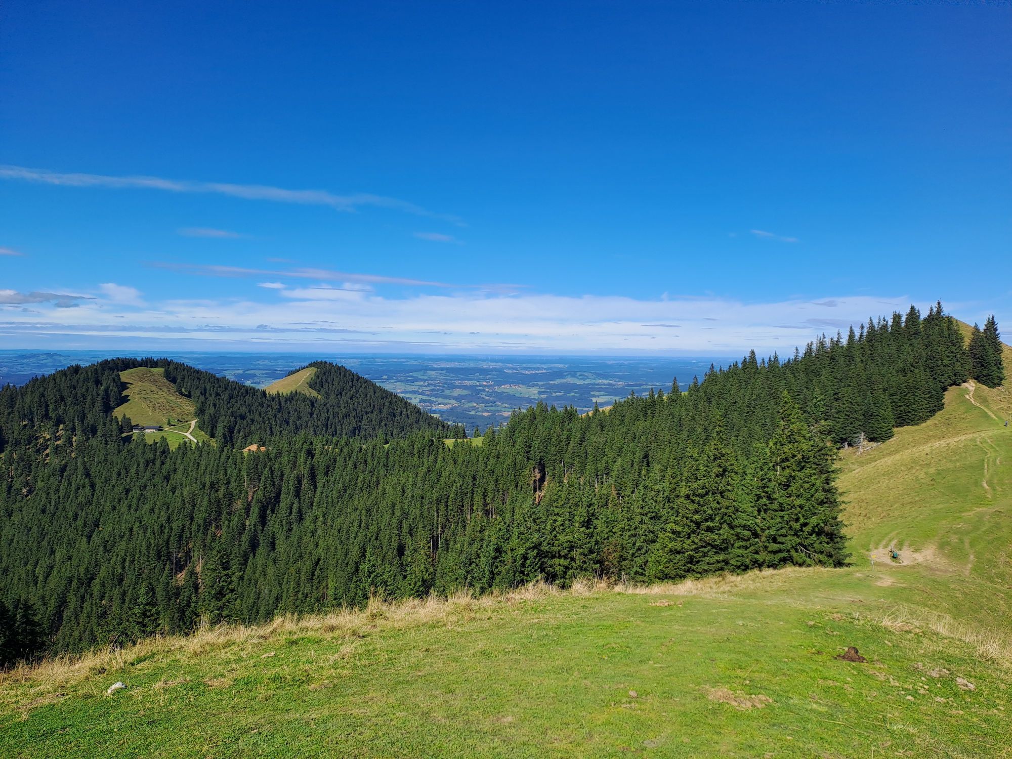
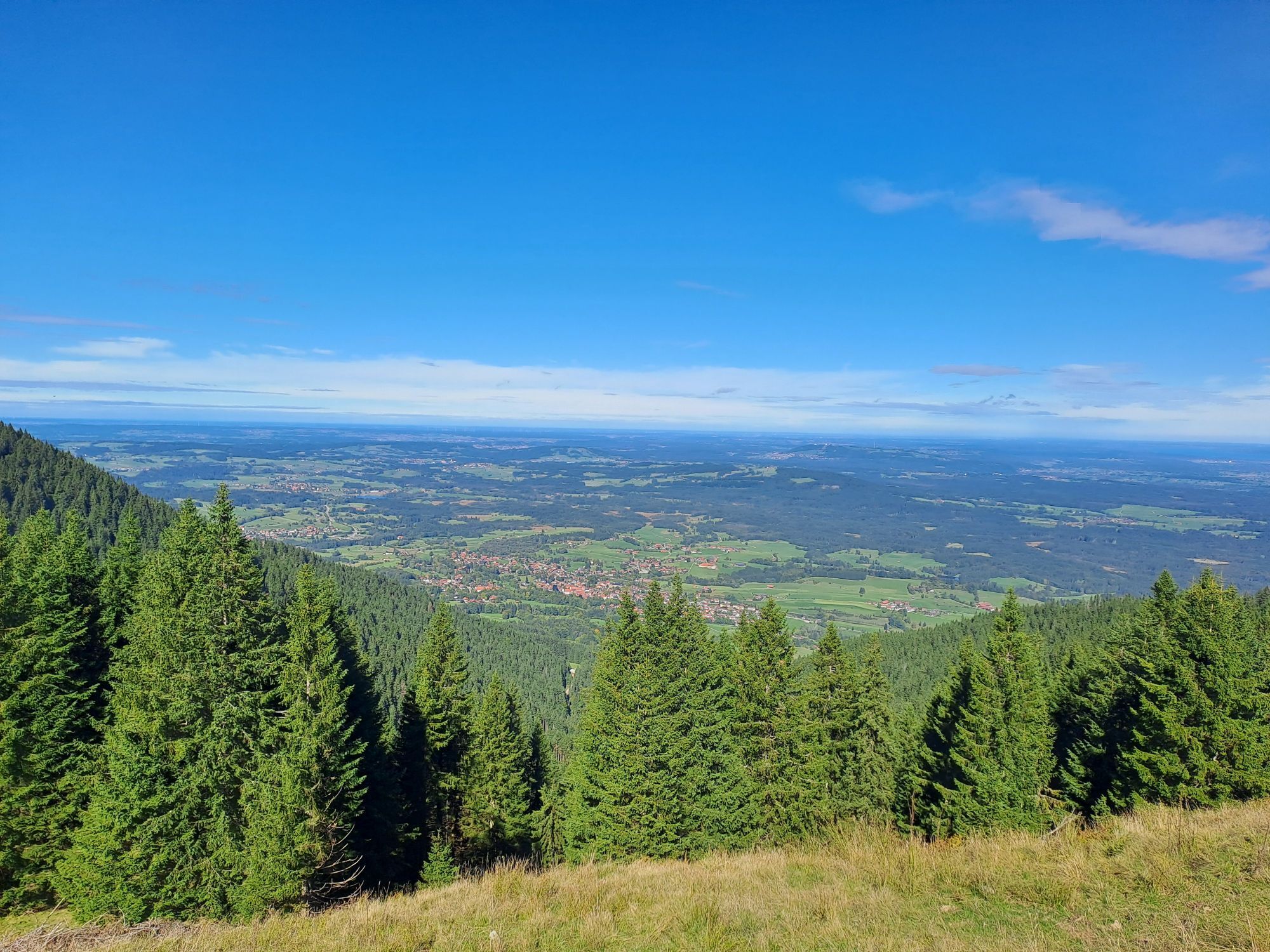
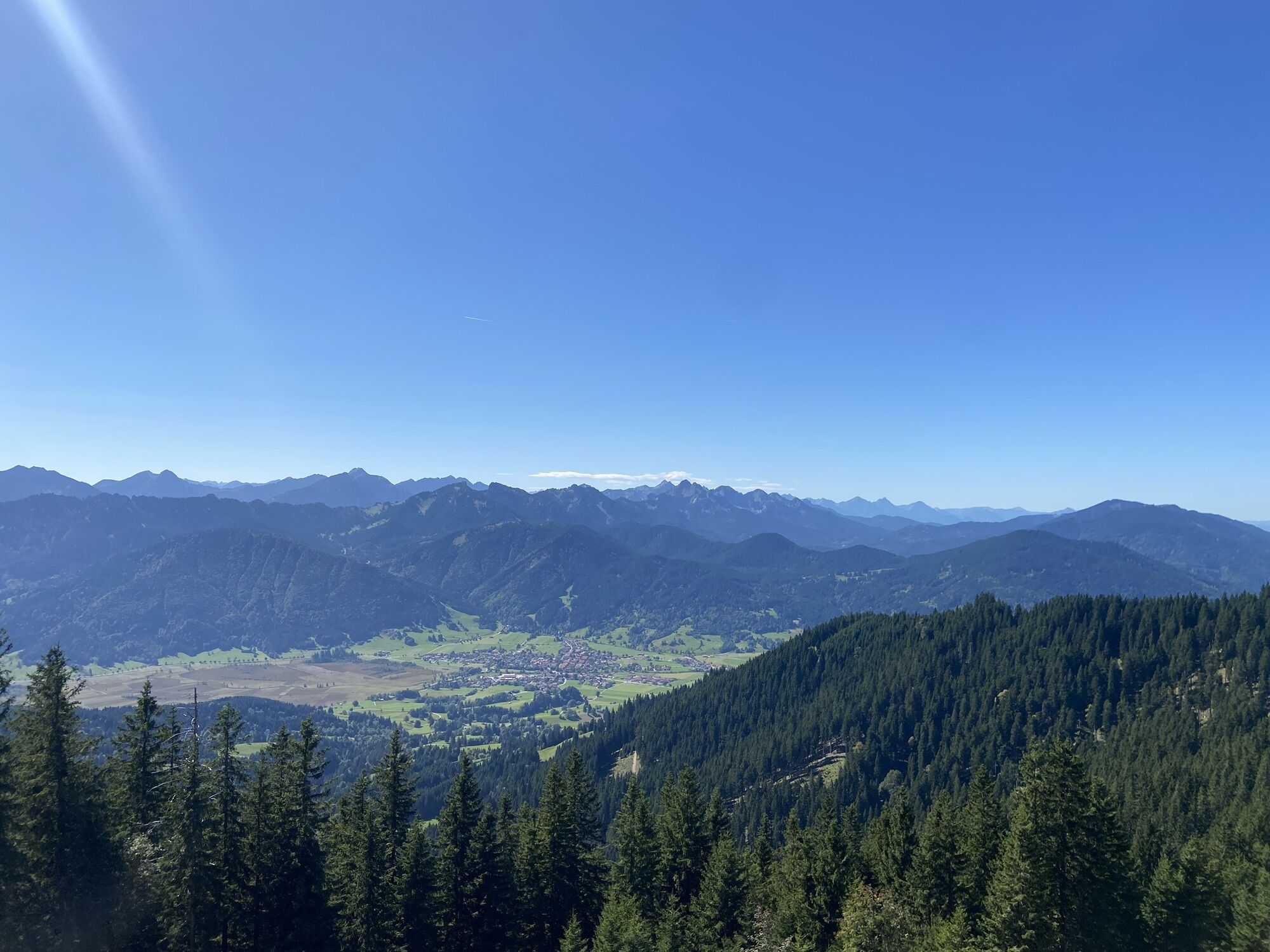
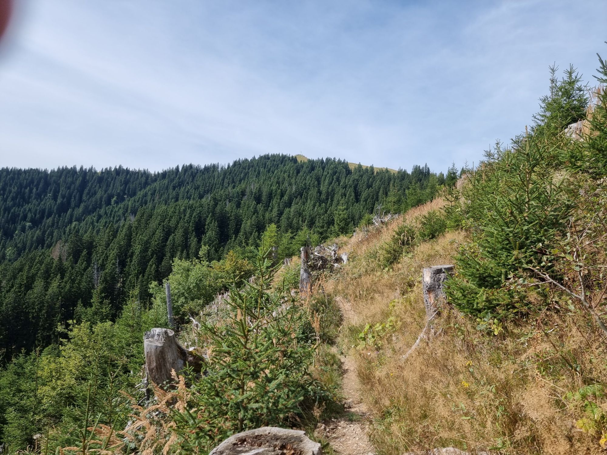
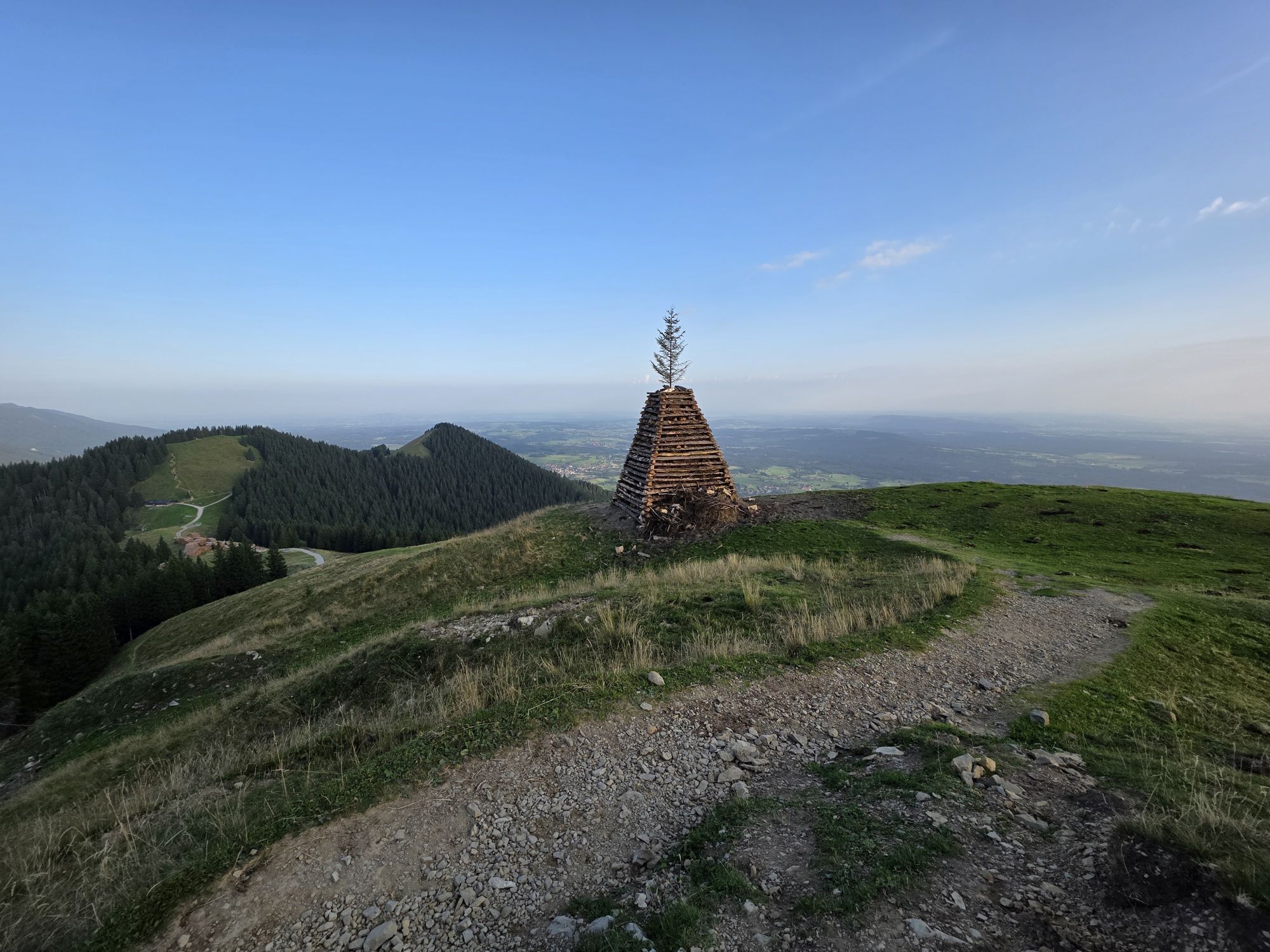
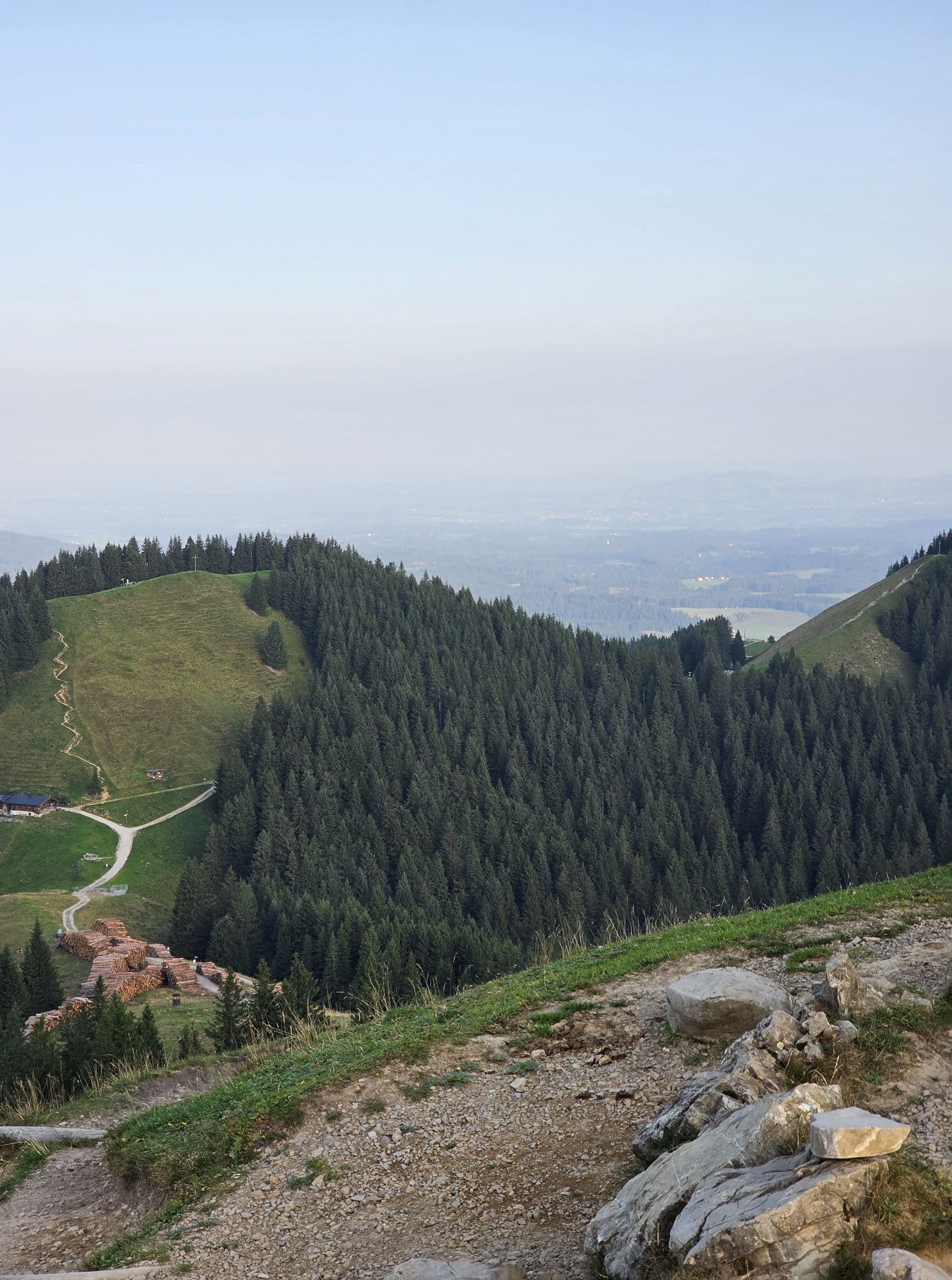
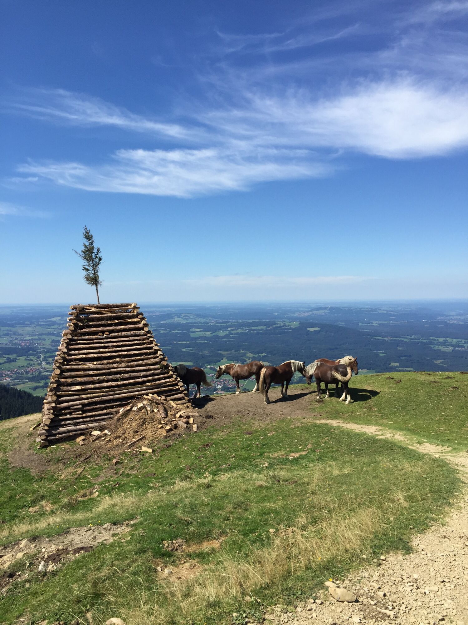
The hike starts from the parking lot at the sports field in Grafenaschau. Heading west past the village, after just under a kilometer, turn right. Follow the Maximiliansweg towards Hinteres Hörnle. Above the Rißgraben, the view opens up and the path to the summit is not far. If you want to stop for refreshment, it is worth making a detour from Hinteres Hörnle to the Hörnlehütte. You should plan about 45 minutes extra walking time for the round trip to the hut. From Hinteres Hörnle to Stierkopf is just a stone's throw. Nevertheless, it is worth taking a short break here, as the view from the meadow slopes of Stierkopf into the Ammergau Alps is particularly impressive. On the left, you will find the path across the meadow towards Drei Marken. Once at Drei Marken, follow the path back to Grafenaschau by turning left again. In Grafenaschau itself, you can take a coffee break at the village shop or reward yourself with delicious cake at Café Habersetzer.
Our recommendation:
Never get lost again - we recommend the free app "Zugspitz Region" including GPX tracks for all routes in the region
Ano
Welcome to the Naturpark Teststubn! Here you can extensively test hiking sticks, day backpacks, child carriers, and crampons from renowned manufacturers before deciding to purchase. Let our team advise you to experience the best possible outdoor adventure. Our Naturpark Teststubn can be found at the tourist information offices in Bad Bayersoien and Bad Kohlgrub and at the Drahtesel rental Lukas Spindler in Oberammergau.
More information: www.ammergauer-alpen.de/teststubn
In case of emergency, please contact the nearest rescue coordination center. Regardless of location, it can be reached nationwide in Germany by calling 112.
From Munich via the A95 and St2062 and from Garmisch-Partenkirchen via the B2 and St2062
Bus stop: Grafenaschau Birkenallee
Bus line: 9621 Murnau - Seehausen - Grafenaschau
Guests of the "Das Blaue Land" region as well as of the Ammergau Alps Nature Park can use many bus lines and train routes from Murnau to Oberammergau and from Uffing to Garmisch-Partenkirchen free of charge with the electronic guest card or the KönigsCard.
e-Car sharing in the Ammergau Alps Nature Park
Hiking parking lot at the sports field, Grafenaschau
This ascent option to Hörnle is less known than the hike from Bad Kohlgrub.
Oblíbené prohlídky v okolí
- 4.4
Kuhfluchtwasserfälle
středníTuristika 1.32 km - 4.5
Mountain route - Teufelstättkopf
středníTuristika 10.8 km - 4.8
Schafkopf
světloTuristika 10.2 km - 4.7
Murnauer Moos
světloTuristika 11.5 km - 4.4
Mountain tour - Kofel
středníTuristika 11.3 km - 4.6
Mountain route - Laber via Soilasee
světloTuristika 11.8 km - 4.6
Laber - Ettaler Mandl
světloTuristika 9.10 km - 4.5
Mountain route - Heimgarten via Käseralm
středníTuristika 10.8 km - 3.3
Zur Kuhalm im Estergebirge
středníMountainbike 14.0 km - 4.5
Mountain route - Hörnle round
světloTuristika 10.8 km

Pěší turistika a stopování


Nenechte si ujít nabídky a inspiraci pro vaši příští dovolenou
Vaše e-mailová adresa byl přidán do poštovního seznamu.