
Navigace na stránkách
Pořiďte si tuto prohlídku do mobilního telefonu
Mapa
Motorrad- und Oldtimertour - Tour 8 "Auf den Spuren der Kelten und Alamannen"

střední
Motorrad
142.68 km
Naskenujte QR kód a spusťte navigaci v aplikaci bergfex.
QR Code
Pěší turistika a stopování
Stáhnout pro iOS
Stáhnout pro Android

Motorrad- und Oldtimertour - Tour 8 "Auf den Spuren der Kelten und Alamannen"
Mapa
Vzdálenost
142.7 km
Doba trvání
07:08 h
Ascent
1149 hm
Hladina moře
401 - 664 m
Stažení skladby
Mapa
Motorrad- und Oldtimertour - Tour 8 "Auf den Spuren der Kelten und Alamannen"
střední
Motorrad
142.68 km

Als Kelten bezeichnete man seit der Antike "Volksgruppen der Eiszeit in Europa". Archäologische Funde zeugen von einer ausgeprägten Kultur und hochentwickelten sozialen Struktur dieser Volksstämme. Die...

Popis

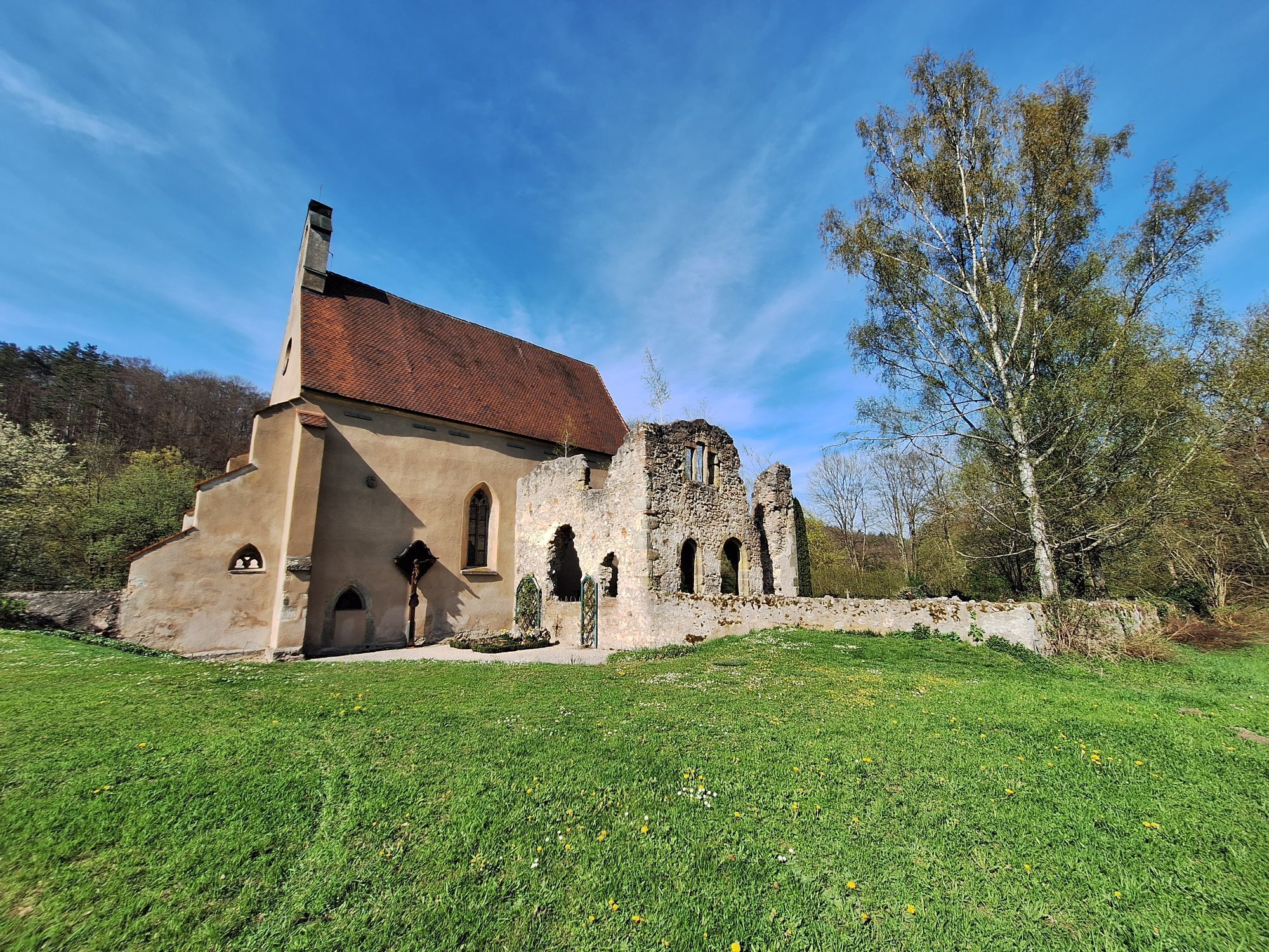
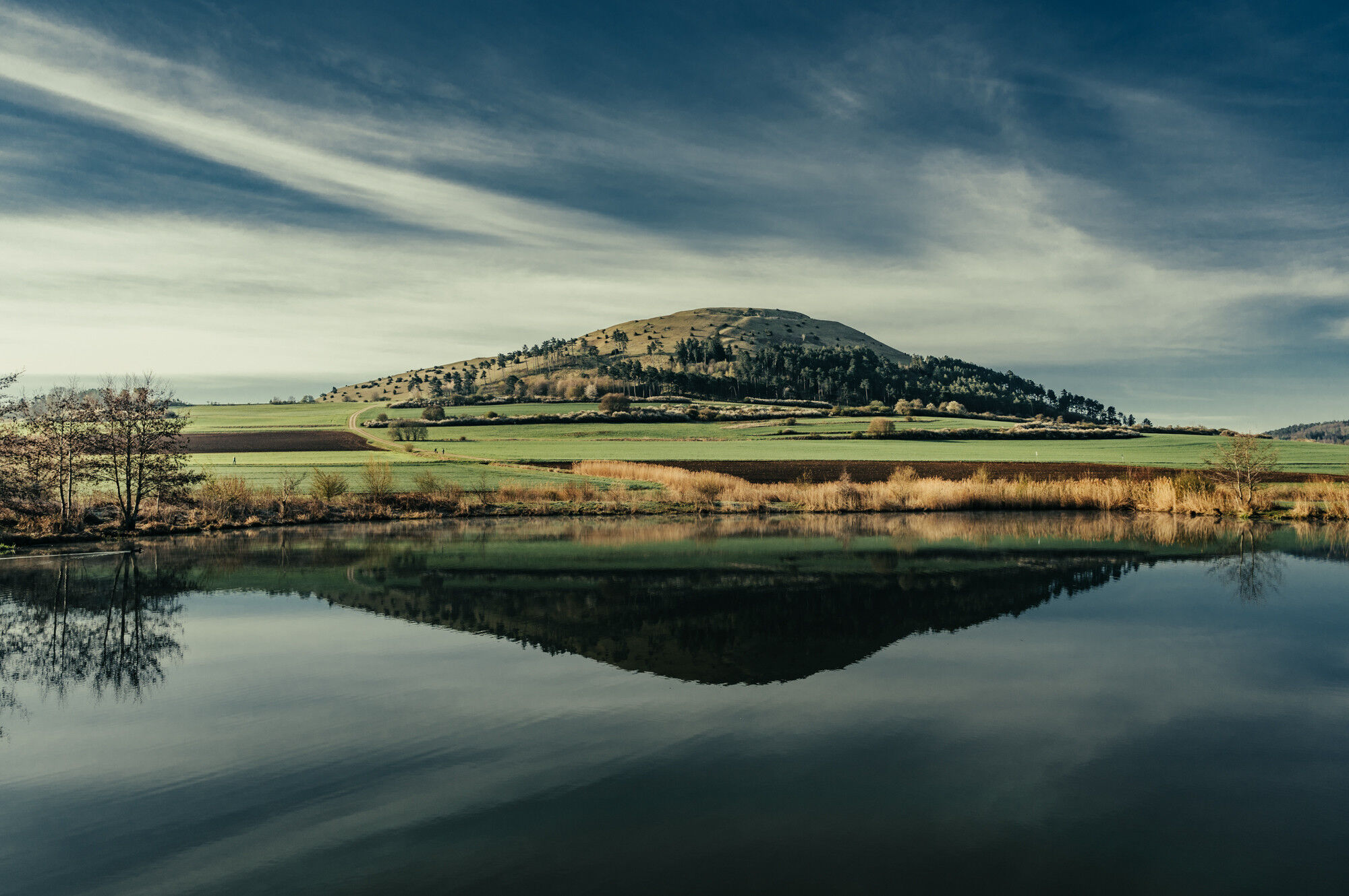
Als Kelten bezeichnete man seit der Antike "Volksgruppen der Eiszeit in Europa". Archäologische Funde zeugen von einer ausgeprägten Kultur und hochentwickelten sozialen Struktur dieser Volksstämme. Die Alamannen hingegen waren eine antike und frühmittelalterliche Bevölkerungsgruppe, die dem westgermanischen Kulturkreis zugeordnet wird.

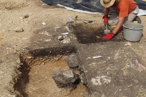
Begeben Sie sich auf archäologische Spurensuche und entdecken Sie die keltische und alamannische Geschichte hautnah an authentischen Plätzen! Die Zeit der Kelten und Alamannen wird auf vielfältige Weise wieder lebendig.

Trasa
Aalen
(430 m)
Město
8.8 km
Neuapostolische Kirche Nattheim
(553 m)
Místo konání bohoslužeb
34.9 km
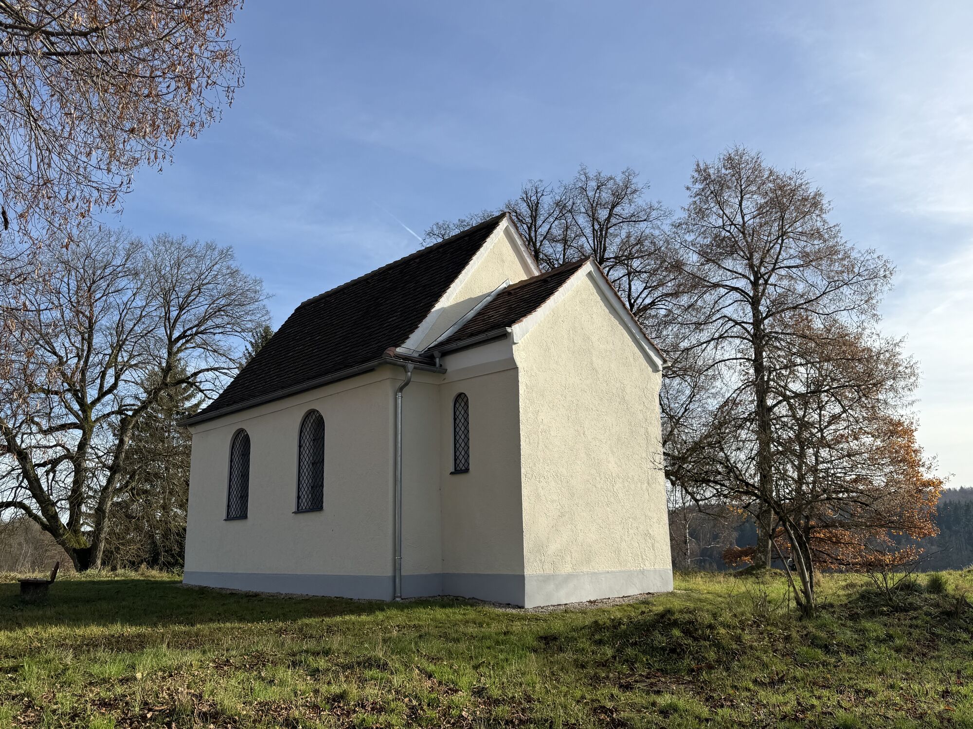
Nothelferkapelle
(487 m)
Místo konání bohoslužeb
60.3 km
Kapelle zum Großen Herrgott
(557 m)
Místo konání bohoslužeb
71.7 km
St. Anna
(454 m)
Místo konání bohoslužeb
89.3 km
Katharinenkirche
(464 m)
Místo konání bohoslužeb
102.9 km
St. Wolfgang
(441 m)
Místo konání bohoslužeb
128.6 km
Trasa
Mapa
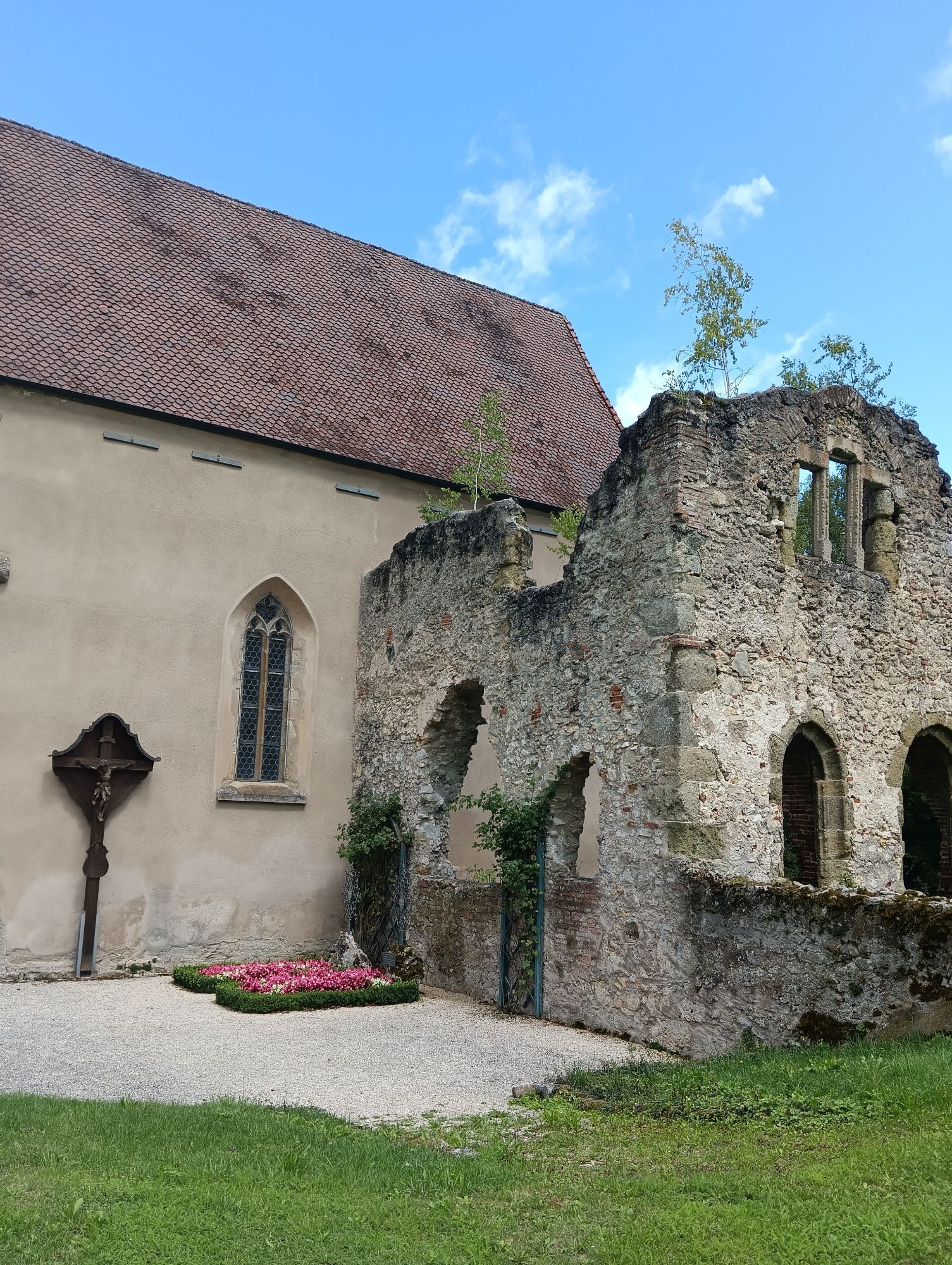
Motorrad- und Oldtimertour - Tour 8 "Auf den Spuren der Kelten und Alamannen"
střední
Motorrad
142.68 km
Affalterried
(479 m)
Vesnice
2.2 km
Aalen
(430 m)
Město
8.8 km
Unterkochen
(463 m)
Vesnice
11.6 km
Oberkochen
(498 m)
Město
16.4 km
Königsbronn
(532 m)
Vesnice
21.4 km
Ali Baba Imbiss
(504 m)
Restaurace
21.4 km
Königsbronn
(500 m)
Železniční stanice
21.8 km
Ziyafet
(500 m)
Restaurace
21.8 km
Itzelberg
(498 m)
Vesnice
23.7 km
Aufhausen
(502 m)
Vesnice
26.3 km
Rössle
(502 m)
Restaurace
26.3 km
Michaelskirche
(501 m)
Místo konání bohoslužeb
27.0 km
Schnaitheim
(497 m)
Vesnice
27.4 km
Heidenheim an der Brenz
(504 m)
Město
28.7 km
Ramensteinhöhle
(569 m)
Vchod do jeskyně
34.1 km
Neuapostolische Kirche Nattheim
(553 m)
Místo konání bohoslužeb
34.9 km
Martinskirche
(563 m)
Místo konání bohoslužeb
36.4 km
Nattheim
(559 m)
Vesnice
36.5 km
Fleinheim
(532 m)
Vesnice
41.4 km
Auernheim
(577 m)
Vesnice
46.1 km
Neresheim
(502 m)
Město
50.8 km
Gasthaus Rössle
(503 m)
Restaurace
51.0 km
Neresheim
(505 m)
Železniční stanice
51.5 km
Iggenhausen
(479 m)
Vypořádání
55.7 km
Gasthaus "Zur Einkehr"
(480 m)
Restaurace
55.8 km
Katzenstein
(476 m)
Železniční stanice
56.9 km
Dischingen
(467 m)
Vesnice
59.7 km
Goldenes Rössle
(470 m)
Restaurace
59.8 km
Cafe Magic
(488 m)
Restaurace
60.0 km
Nothelferkapelle
(487 m)
Místo konání bohoslužeb
60.3 km
Buchmühlkapelle
(471 m)
Místo konání bohoslužeb
61.6 km
Ballmertshofen
(457 m)
Vesnice
62.5 km
Demmingen
(520 m)
Vesnice
68.7 km
Kapelle zum Großen Herrgott
(557 m)
Místo konání bohoslužeb
71.7 km
Eglingen
(551 m)
Vesnice
73.4 km
Aufhausen
(538 m)
Vesnice
77.8 km
Christgarten
(480 m)
Vypořádání
82.5 km
Hoppelmühle
(475 m)
Vypořádání
82.9 km
Anhausen
(468 m)
Vypořádání
83.3 km
Ederheim
(470 m)
Vesnice
87.1 km
St. Anna
(454 m)
Místo konání bohoslužeb
89.3 km
Herkheim
(450 m)
Vesnice
89.3 km
Holheim
(459 m)
Vesnice
92.4 km
Nähermemmingen
(438 m)
Vesnice
93.5 km
Pflaumloch
(452 m)
Vesnice
95.7 km
Gasthof zum Lamm
(452 m)
Restaurace
97.9 km
Trochtelfingen
(451 m)
Vesnice
98.4 km
Flochberg
(479 m)
Vesnice
100.8 km
Bopfingen
(468 m)
Město
102.7 km
Katharinenkirche
(464 m)
Místo konání bohoslužeb
102.9 km
Oberdorf am Ipf
(464 m)
Vesnice
103.7 km
Edelmühle
(476 m)
Vypořádání
106.4 km
Gasthof Metzgerei Rößle
(476 m)
Restaurace
108.2 km
Kerkingen
(477 m)
Vesnice
108.3 km
Wöhrsberg
(499 m)
Vypořádání
110.3 km
Zöbingen
(501 m)
Vesnice
112.4 km
Röhlingen
(458 m)
Vesnice
120.5 km
Ellwangen
(440 m)
Město
127.3 km
St. Wolfgang
(441 m)
Místo konání bohoslužeb
128.6 km
Schrezheim
(445 m)
Vesnice
129.5 km
Saverwang
(447 m)
Vesnice
131.1 km
Schwabsberg
(463 m)
Vesnice
132.5 km
Immenhofen
(498 m)
Vypořádání
137.4 km
Oberalfingen
(484 m)
Vesnice
139.0 km
Albanus
(439 m)
Vypořádání
141.9 km
Aalen
(430 m)
Město
142.5 km
Informace o prohlídce

Auf Zeitreise mit Motorrad und Oldtimer - Genusstouren die bewegen! Die Ostalb ist nicht nur bekannt für schwäbische Gemütlichkeit, Kunst und Kultur, sondern auch für genussreiche Kurvenstrecken durch Waldgebiete und auf den Hochflächen der Schwäbischen Alb. Kurvenreich und Idyllisch. Biker und Oldtimerfans finden hier alles, was das Herz begehrt.

Technologie
3 / 6
Stav
3 / 6
Krajina
5 / 6
Zkušenosti
5 / 6
Nejlepší roční období
Led
Úno
Bře
Dub
Kvě
Čen
Čec
Srp
Zář
Říj
Lis
Pro
Autor
Poskytuje Landratsamt Ostalbkreis
Prohlídku Motorrad- und Oldtimertour - Tour 8 "Auf den Spuren der Kelten und Alamannen" zajišťuje mein.toubiz.
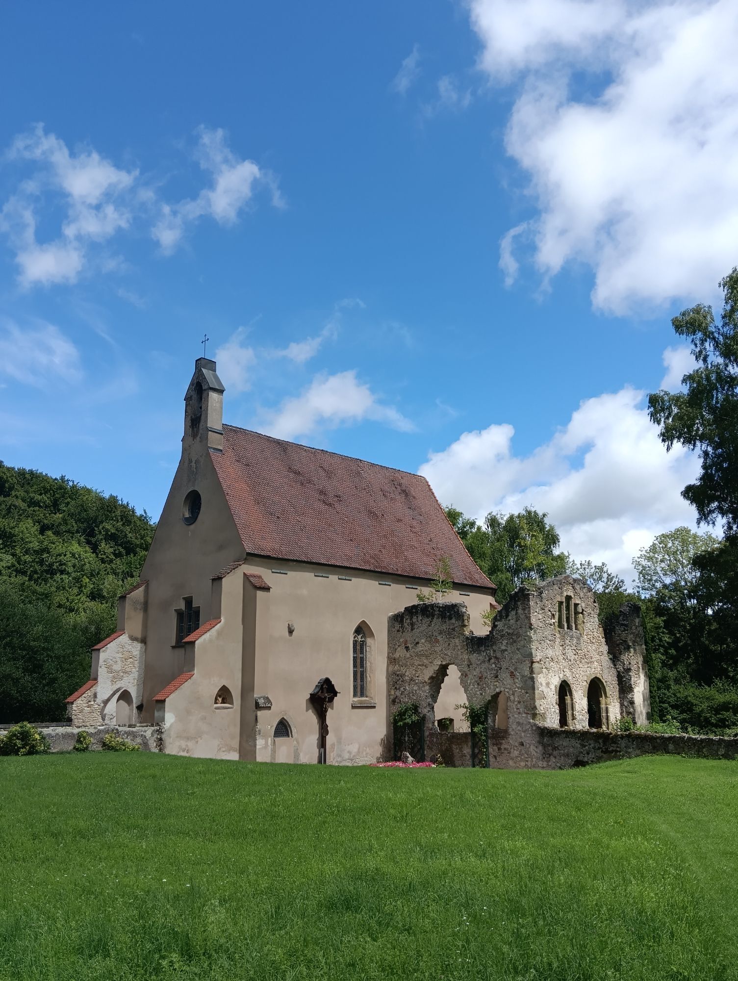
Sdílet prohlídku
Mapa
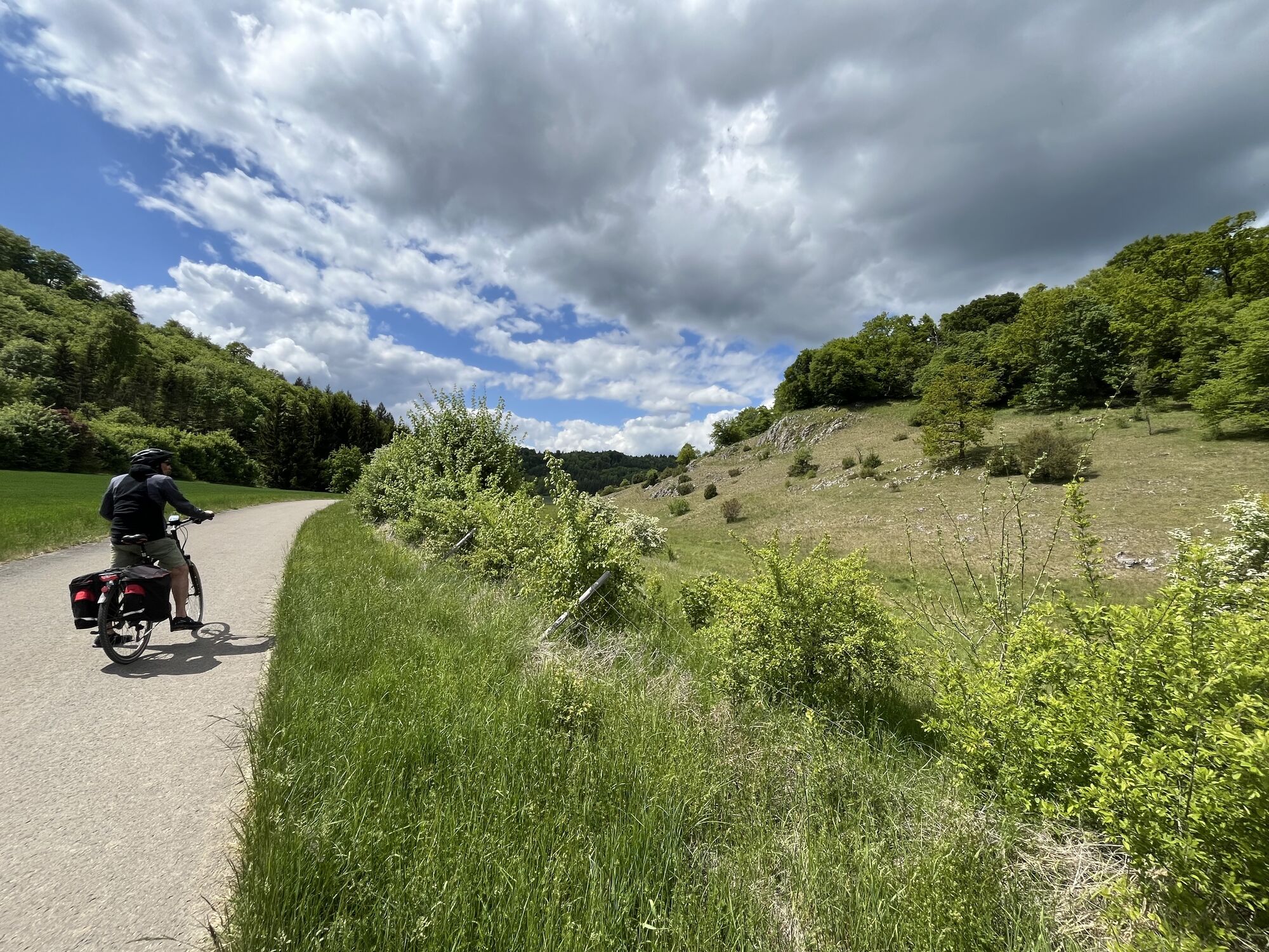
Motorrad- und Oldtimertour - Tour 8 "Auf den Spuren der Kelten und Alamannen"
střední
Motorrad
142.68 km
Chyba
Došlo k chybě. Zkuste to prosím znovu.
Pěší turistika a stopování

Pěší turistika a stopování

ke stažení pro iOSstáhnout pro Android
Pěší turistika a stopování
Více než 550.000 návrhů výletů, podrobné mapy a intuitivní plánovač tras dělají z aplikace nezbytnou výbavu pro všechny milovníky přírody.
bergfex