


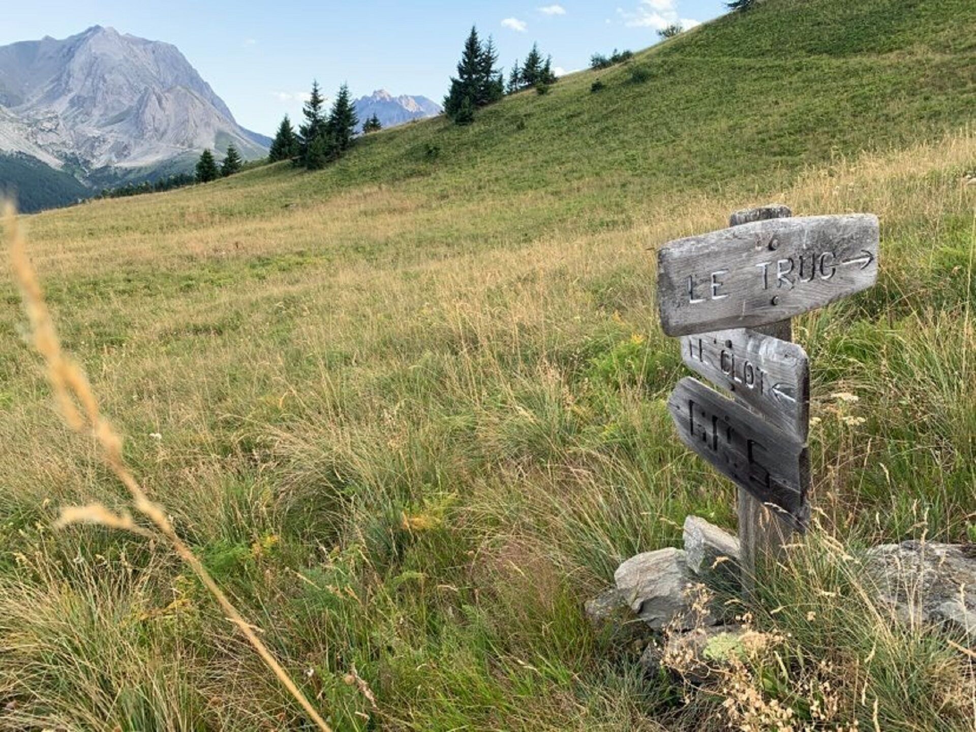
Hiking to the Arplane chalets
If you relish a challenge and have an explorer's curiosity, this route is made for you. A whole plateau of surprises awaits you. Such a reward obviously demands some effort; there might be a treat for...
If you relish a challenge and have an explorer's curiosity, this route is made for you. A whole plateau of surprises awaits you. Such a reward obviously demands some effort; there might be a treat for you along string of switchbacks gradually leading you from the Fourneaux forest to the first high-altitude meadow: wild strawberries. Listen to branches rustling in the gentle breeze that rises from the valley... And what a surprise when Arplane and its charming old chalets reveal themselves! After this epic hike, enjoy a moment of tranquillity amidst the fir trees. Take a break at the foot of the well-preserved ruins. Wander around exploring them at your leisure. Succulents and tall grasses intertwine under your feet as you relax, breathing in the fresh mountain air. At last, you've arrived at the gates of the famous Massif du Tabor nature reserve. The ultimate reward!


To guide you in the field, consult the "step-by-step" directional diagram provided in pdf.
Ano
As hazards may occur at any time on the routes, the GPX tracks provided are not contractual. They are given for information only. Riders use them at their own risk, depending on their level of technological proficiency and their understanding of the terrain.
Oblíbené prohlídky v okolí
- 5,0
BARDONECCHIA Colle Sommeiller
středníMountainbike 25,4 km - 4,5
BARDONECCHIA Pian del Colle - Valle Stretta
středníSněžnice 5,02 km - 5,0
BARDONECCHIA Green Lake
světloTuristika 2,14 km - 5,0
BARDONECCHIA Forte Jafferau Loop
heavyMountainbike 36,8 km - 4,5
BARDONECCHIA Walter Bonatti Path - Grange della Rho
středníTuristika 6,06 km - 5,0
BARDONECCHIA Decauville
středníTuristika 7,29 km BARDONECCHIA Lago Verde
světloMountainbike 10,7 kmBARDONECCHIA Monte Jafferau
heavyTuristika 11,6 kmBARDONECCHIA Rochemolles Dam - Scarfiotti Refuge
středníTuristika 7,77 km- 4,0
BARDONECCHIA Sentiero dei Cosetti by Luciano Ferraris
světloTuristika 3,24 km
Pěší turistika a stopování


Nenechte si ujít nabídky a inspiraci pro vaši příští dovolenou
Vaše e-mailová adresa byl přidán do poštovního seznamu.