© Tourismusagentur Ostbelgien - ostbelgien.eu

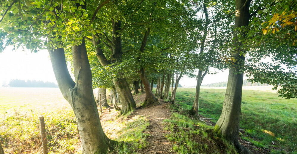
© Tourismusagentur Ostbelgien - Dominik Ketz

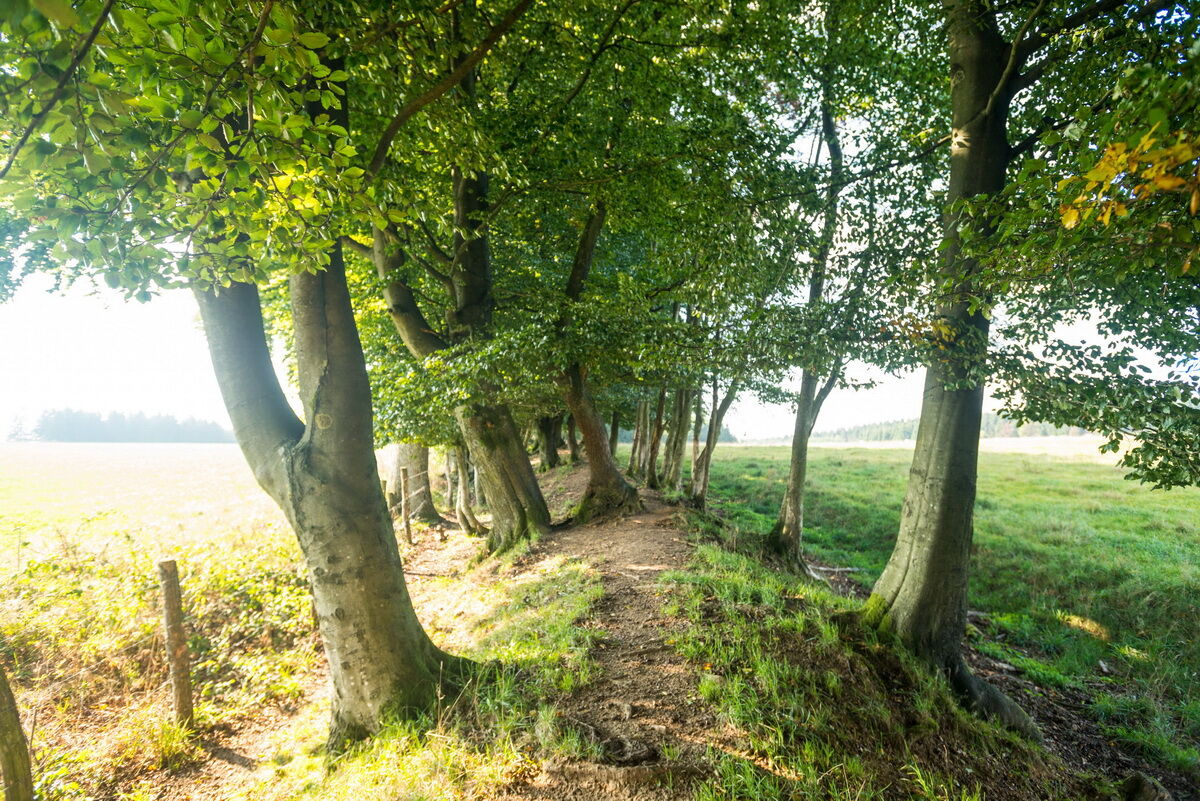
© Tourismusagentur Ostbelgien - Dominik Ketz

© Tourismusagentur Ostbelgien - Markus Balkow

© Tourismusagentur Ostbelgien - Dominik Ketz

© Tourismusagentur Ostbelgien - Dominik Ketz

- Stručný popis
-
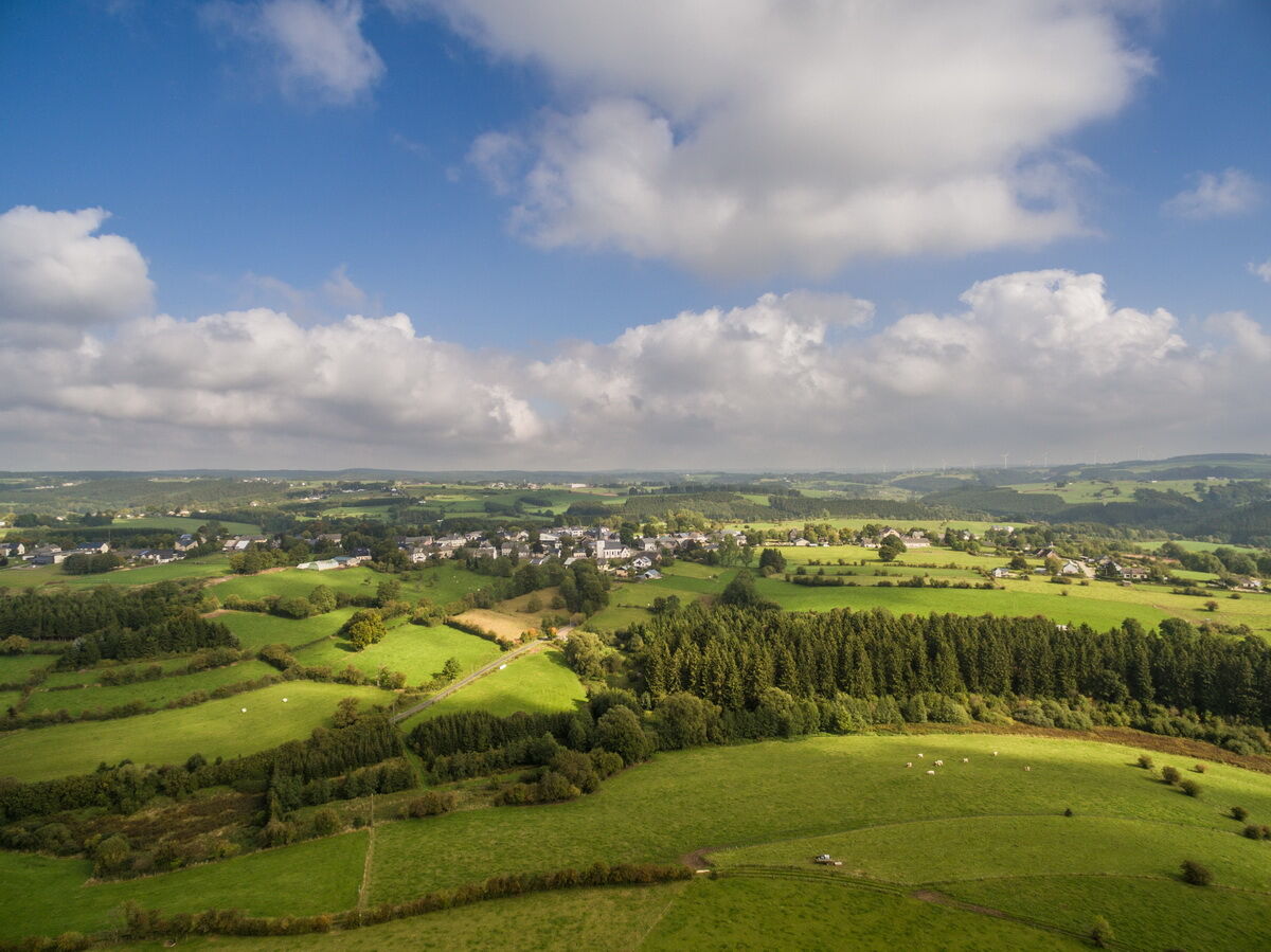
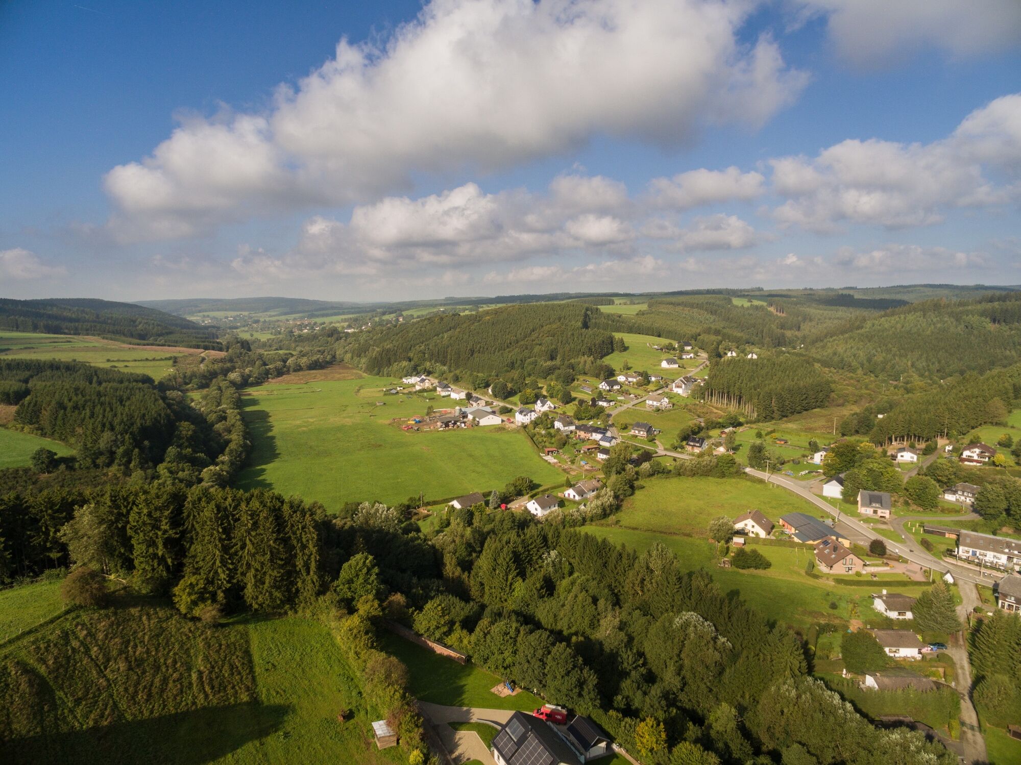
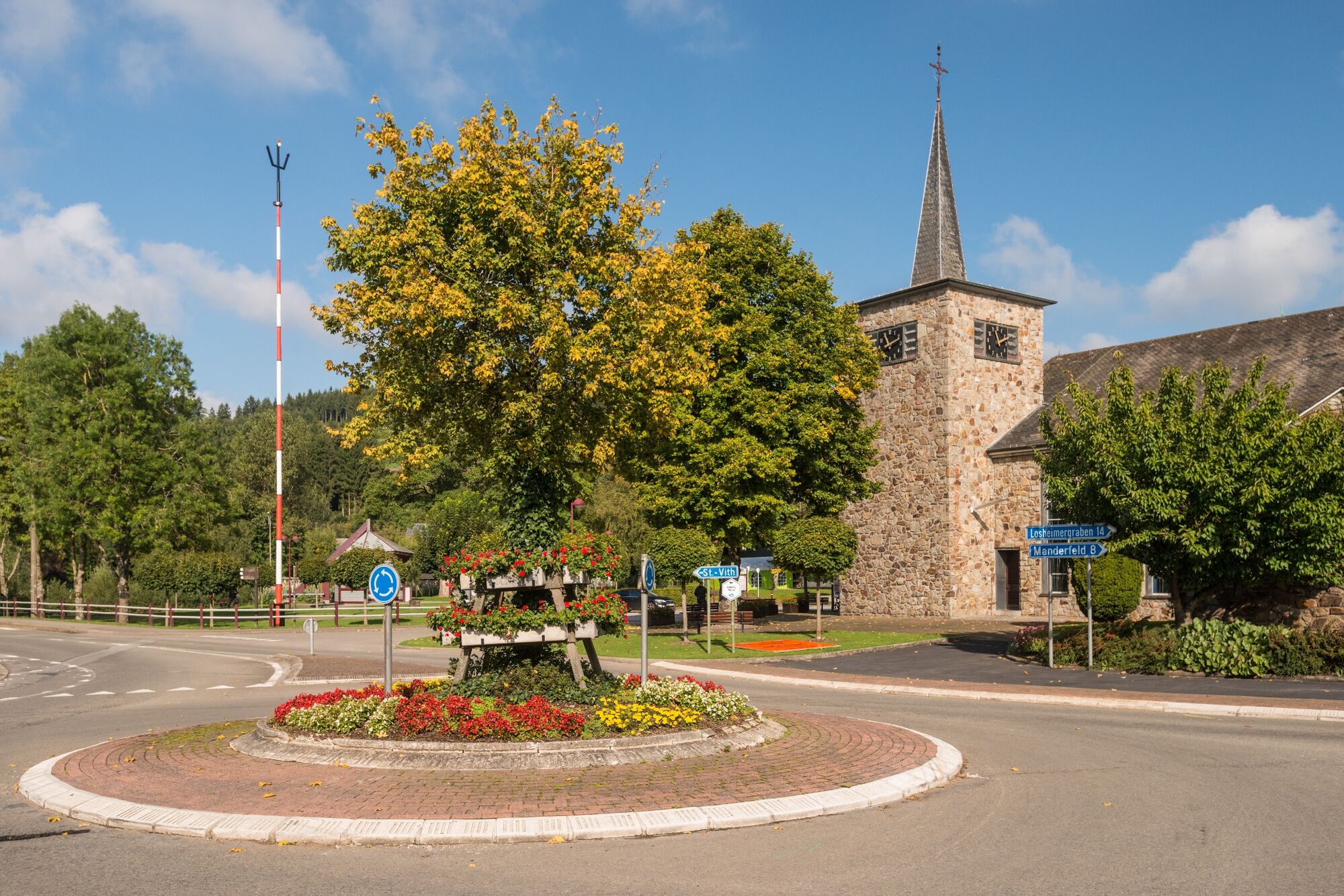
Two streams have their origin in the municipality of Büllingen: the Warche and the Our. Impressively, the GR trail from Büllingen to Schönberg forms a connection between them.
- Obtížnost
-
střední
- Hodnocení
-
- Trasa
-
St. EligiusBüllingen0,0 kmSankt Mathias3,5 kmHonsfeld3,8 kmBuchholz7,0 kmEimerscheid17,6 kmHerresbach20,5 kmZum Burghof24,7 kmSchönberg24,8 km
- Nejlepší sezóna
-
ledúnobředubkvěčenčecsrpzářříjlispro
- Nejvyšší bod
- 612 m
- Cílová destinace
-
Schönberg village centre. GPS coordinates 50.289426,6.263483
- Výškový profil
-
 © outdooractive.com

- Autor
-
Prohlídka GR56 – Büllingen - Schönberg používá outdooractive.com na adrese ..
GPS Downloads


Obecné informace
Zastávka s občerstvením
Další výlety v regionech
-
Eifel/ Rheinland-Pfalz
1057
-
Hohes Venn
602
-
Büllingen
90