© Destination Gstaad - Destination Gstaad / Melanie Uhkoetter

© Destination Gstaad - Destination Gstaad / Yannick Romagnoli

© Destination Gstaad - Destination Gstaad / Yannick Romagnoli


- Stručný popis
-
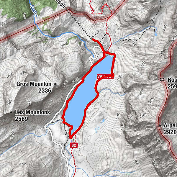
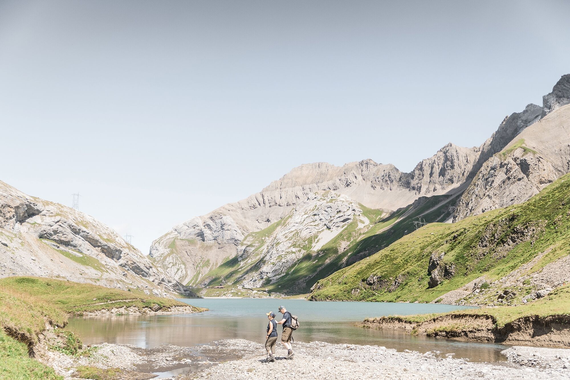
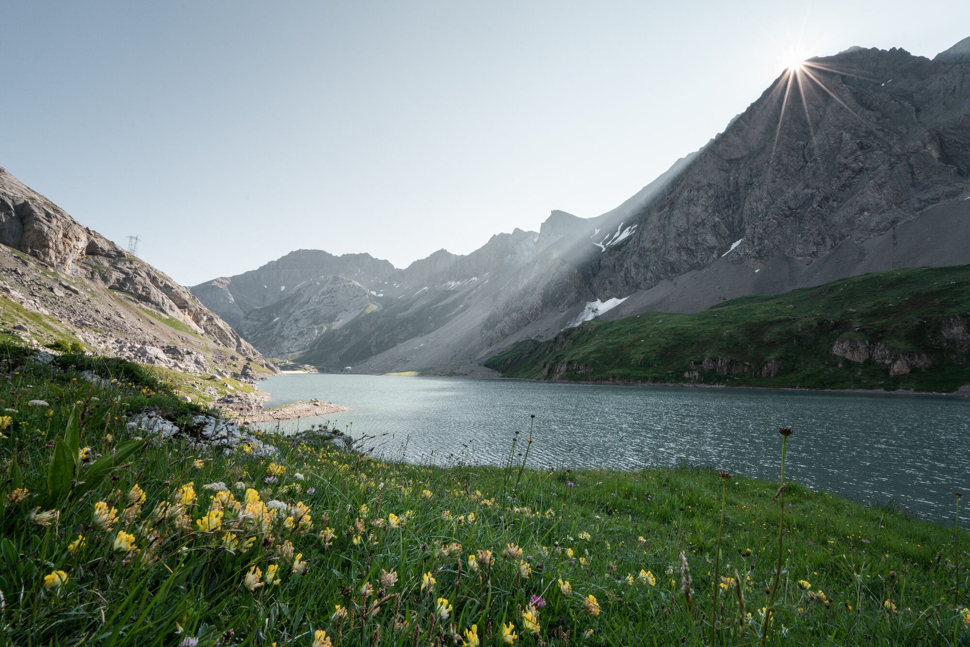
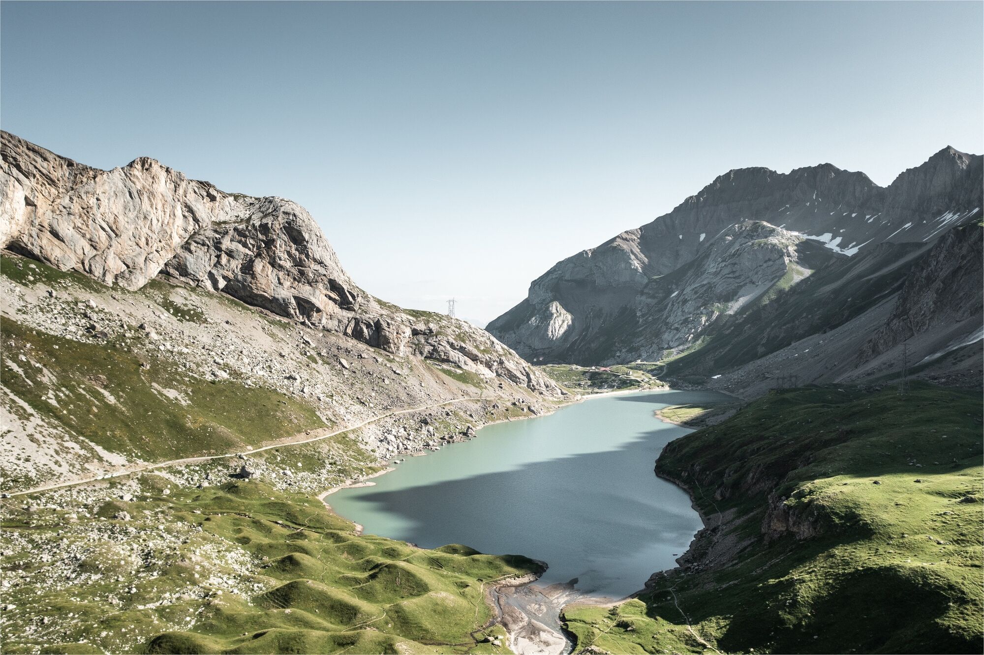
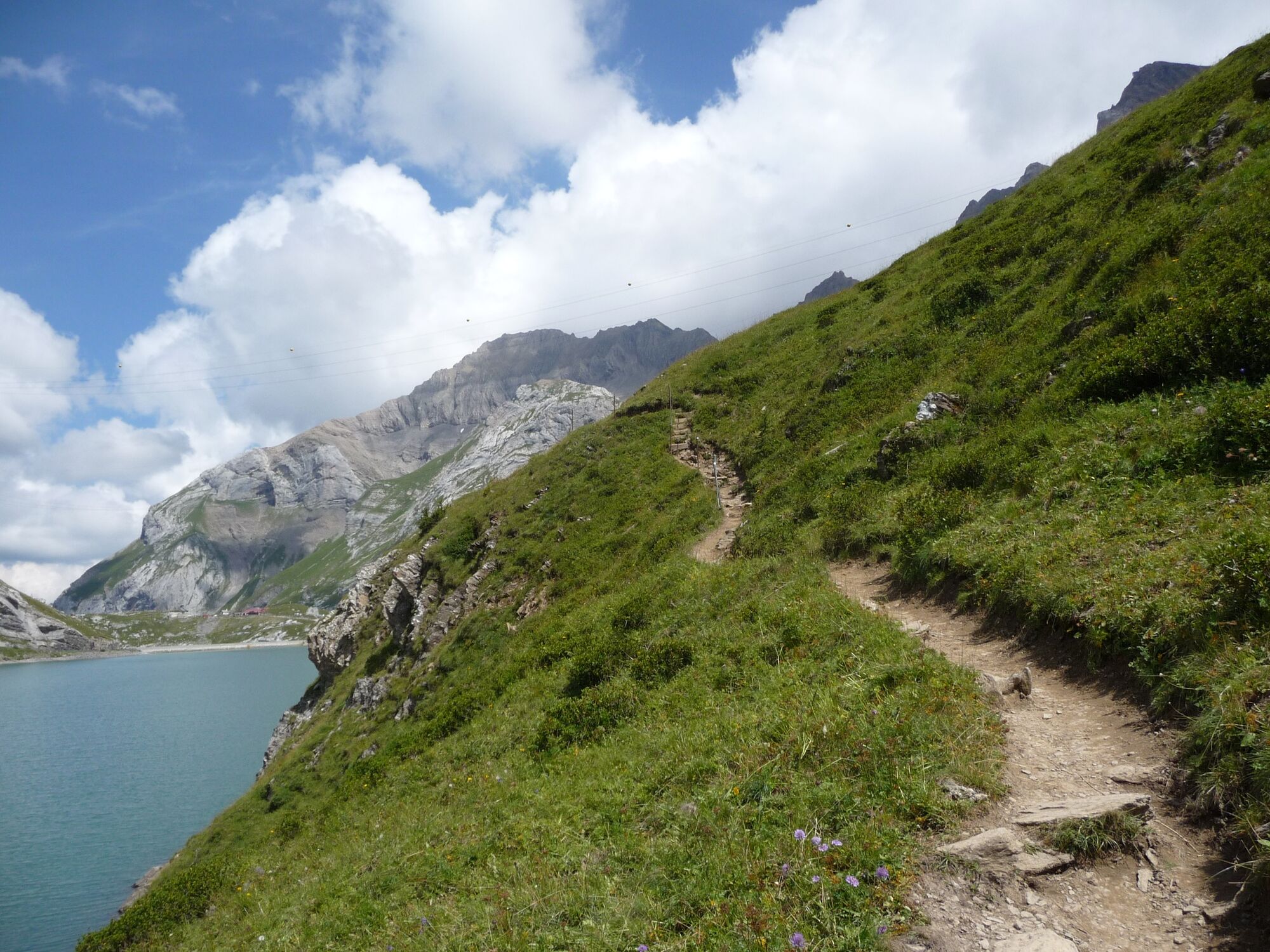
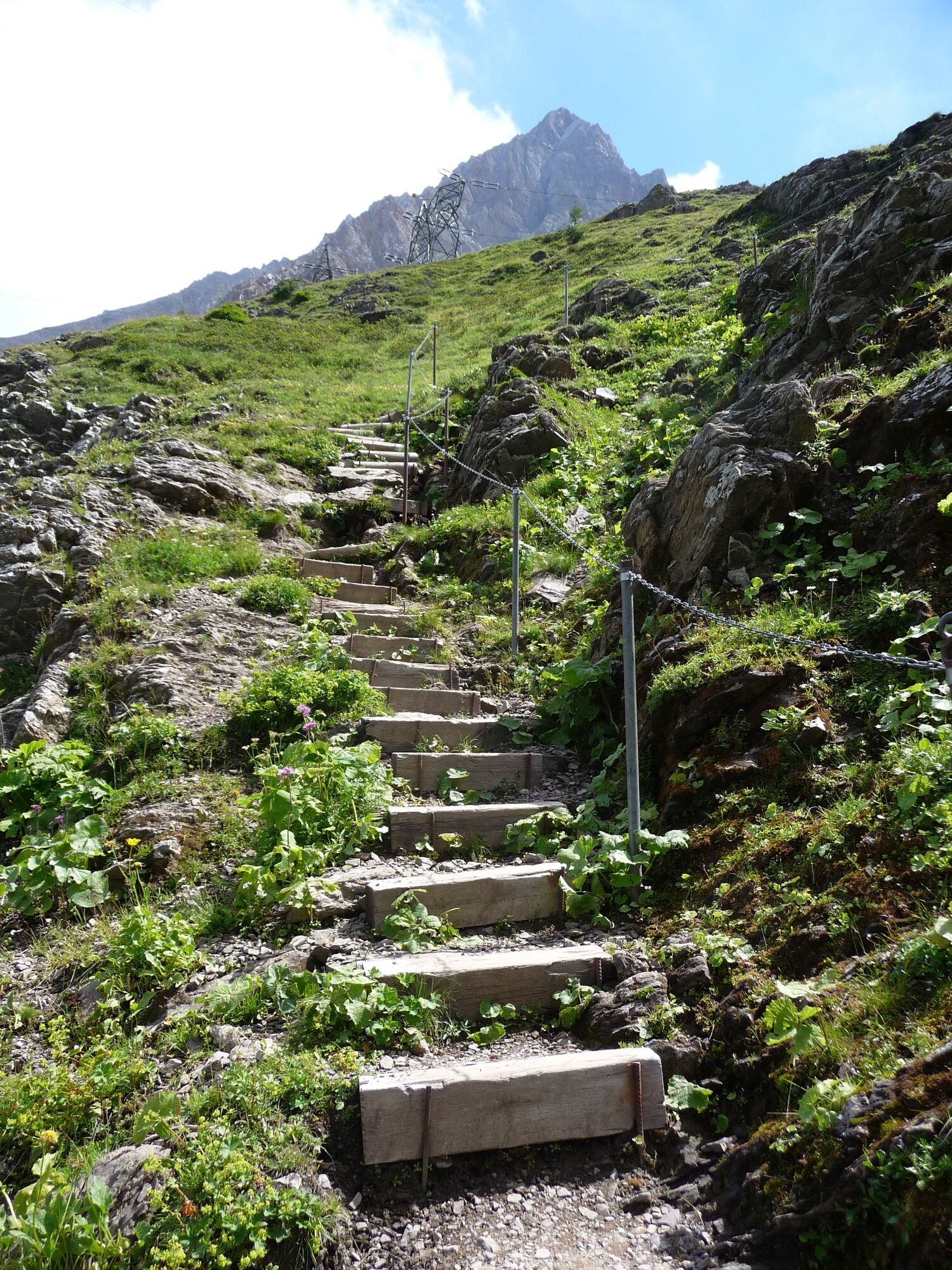
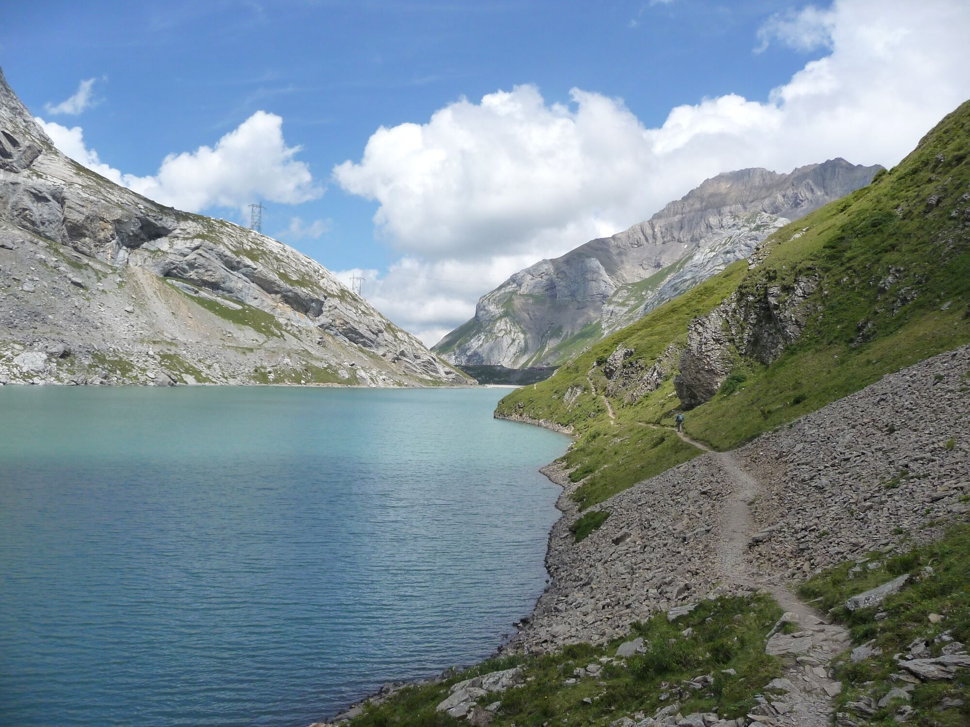
Hike in the varied, exceptional landscape around the Sanetsch lake. Especially in autumn, the region on the border with Valais is a colorful feast for the eyes.
- Obtížnost
-
střední
- Hodnocení
-
- Trasa
-
Auberge du Barrage du Sanetsch0,1 kmAuberge du Barrage du Sanetsch3,8 km
- Nejlepší sezóna
-
ledúnobředubkvěčenčecsrpzářříjlispro
- Nejvyšší bod
- 2.059 m
- Cílová destinace
-
Cable car station Sanetsch
- Výškový profil
-
 © outdooractive.com
-

-
AutorProhlídka Bergstation Sanetsch – Stausee – Bergstation Sanetsch používá outdooractive.com na adrese ..
GPS Downloads


Obecné informace
Zastávka s občerstvením
Další výlety v regionech
-
Thyon les Collons
1435
-
Destination Gstaad
742
-
Gsteig bei Gstaad
170