Bike & Hike: Ebnit - Valüragrat - Hoher Freschen - Binnelgrat - Ebnit

Turistika
Termíny turné
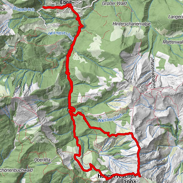
18,2km
919
- 2.004m
1.157hm
1.157hm
04:13h
- Stručný popis
-
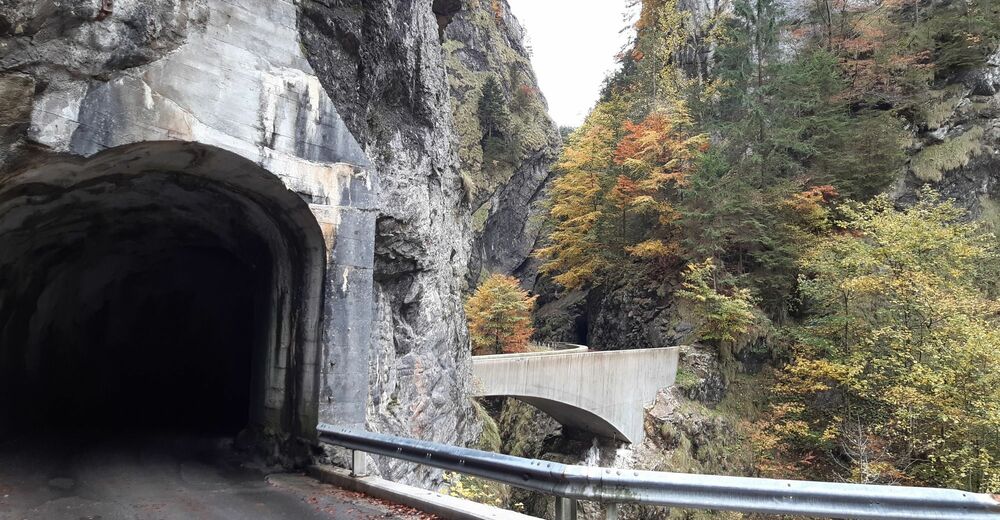
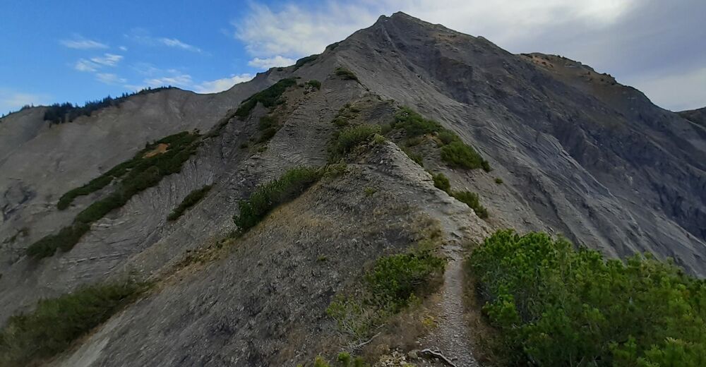
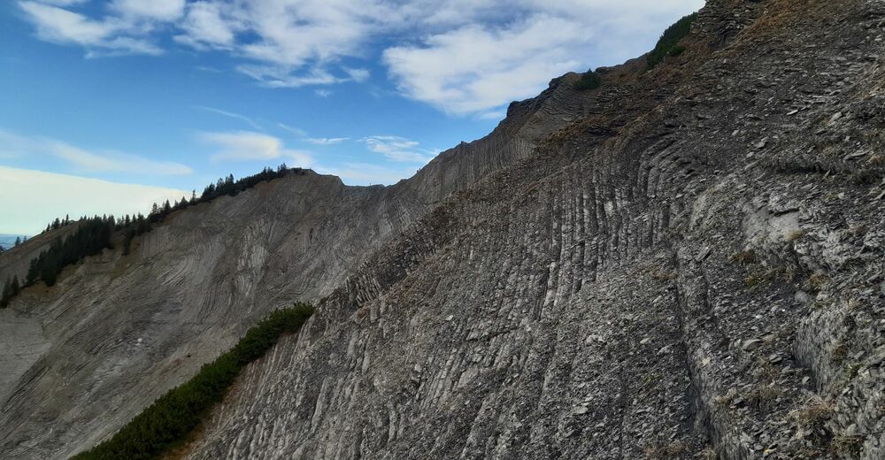
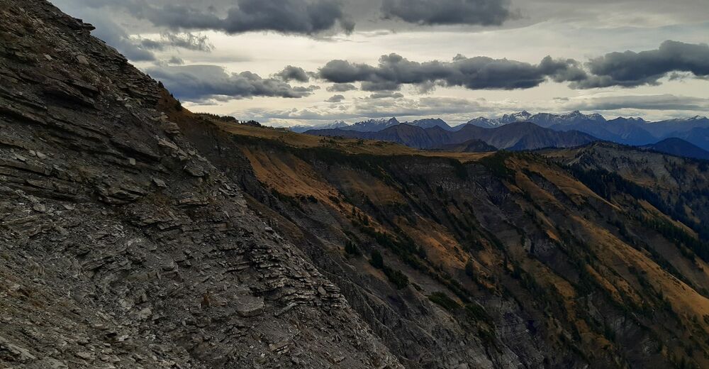
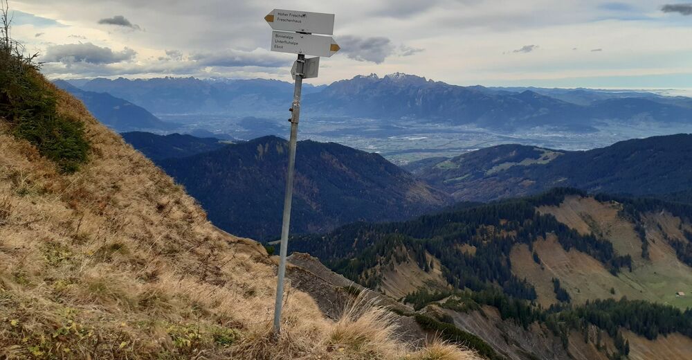
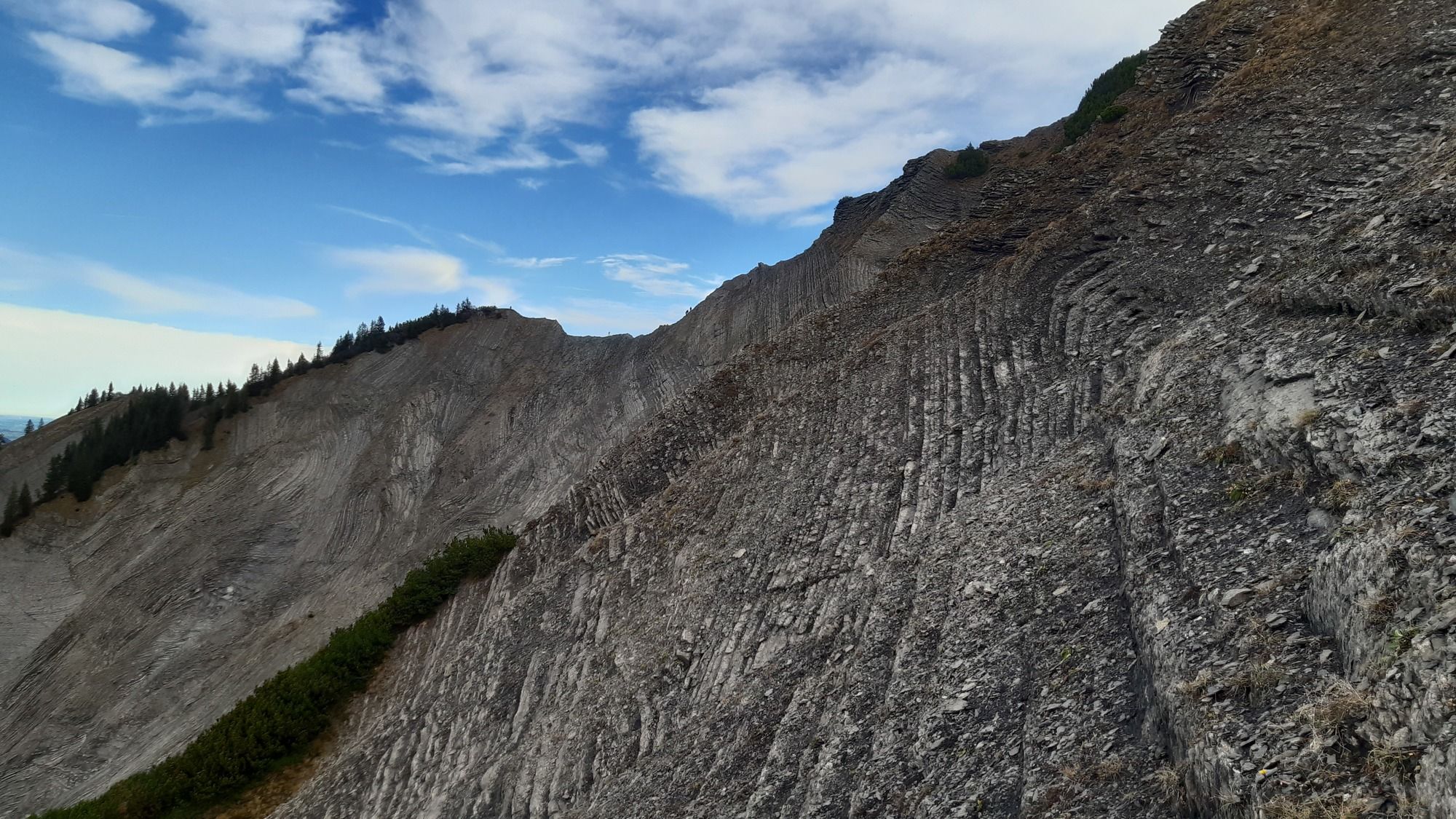
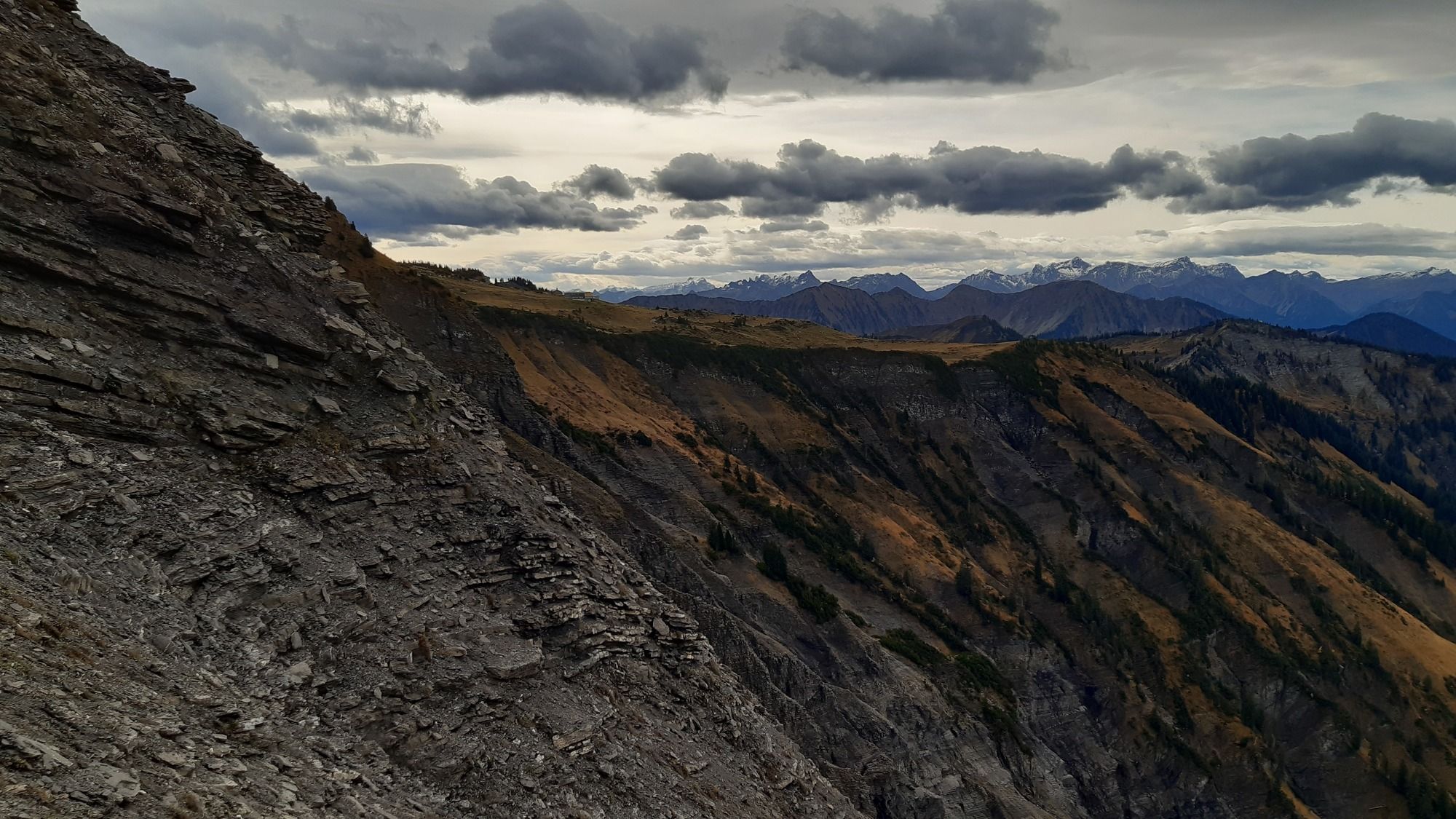
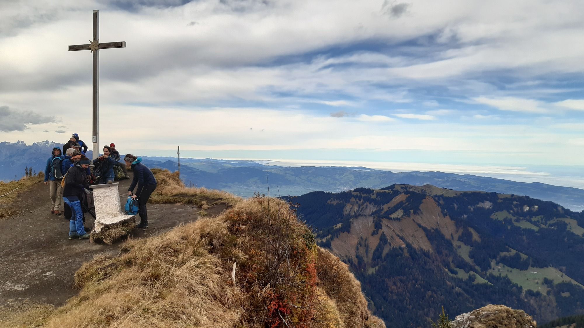
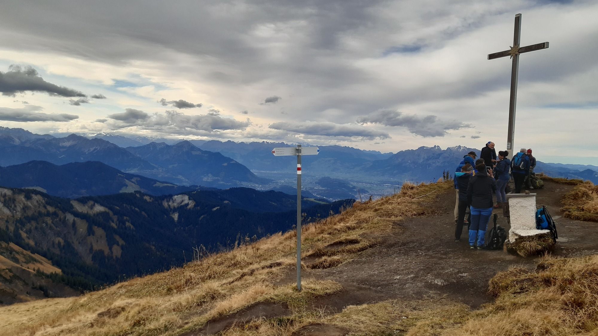
Von Ebnit über den Valüragrat auf den Hohen Freschen und über den Binnelgrat zurück nach Ebnit.
- Obtížnost
-
střední
- Hodnocení
-
- Výchozí bod
-
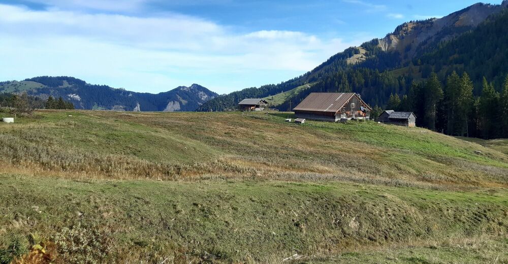
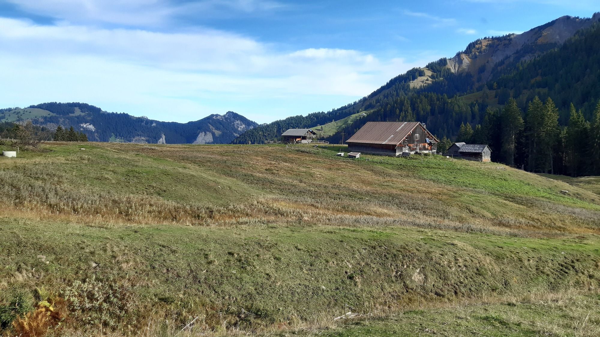
Ebnit Kirche
- Trasa
-
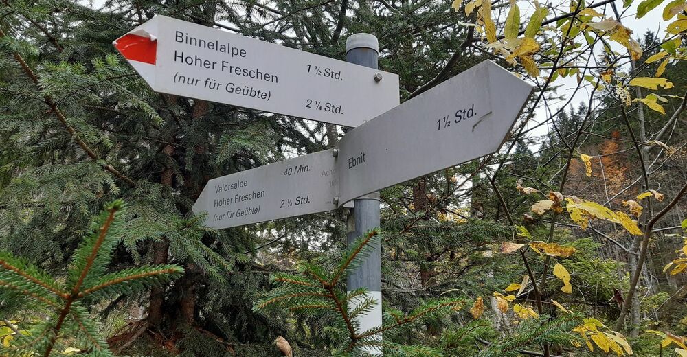
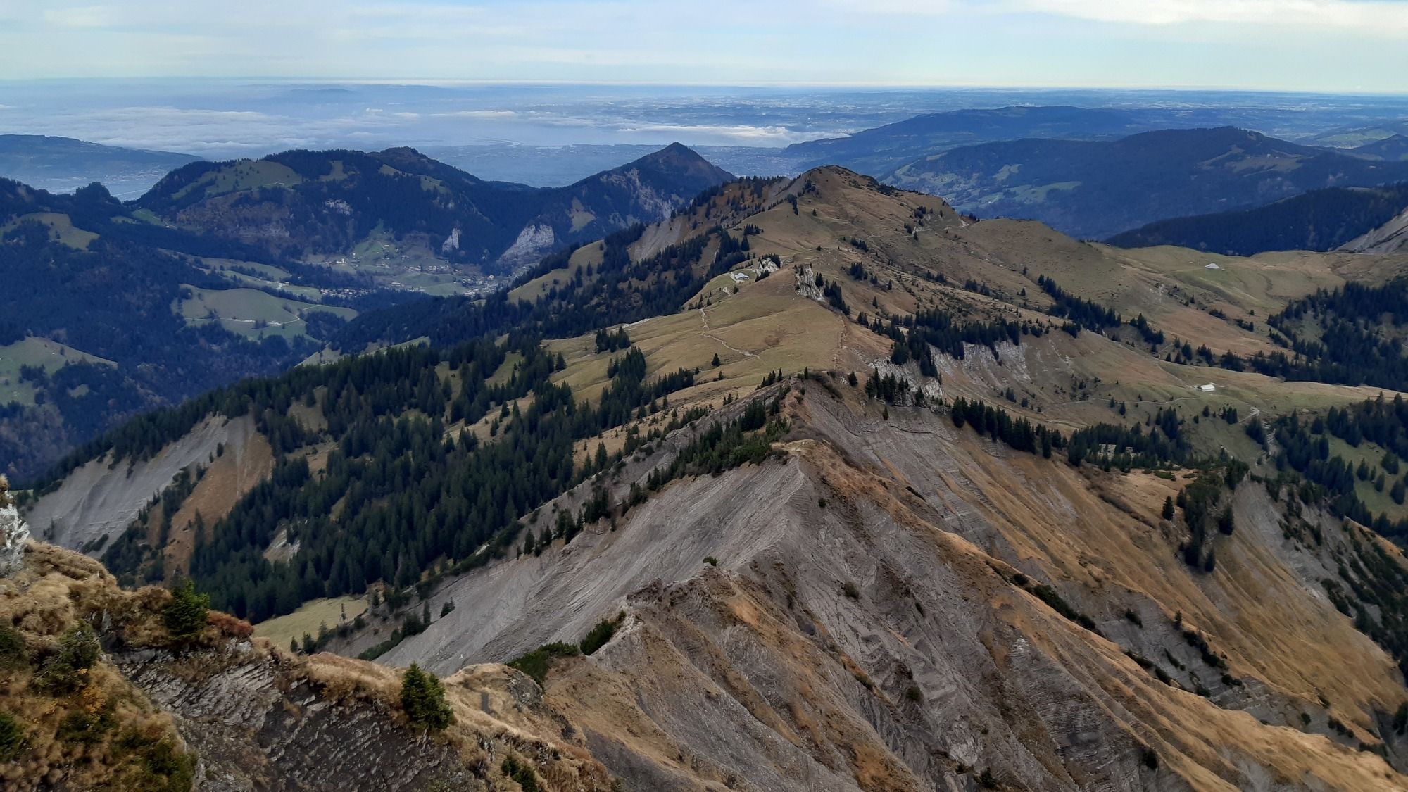
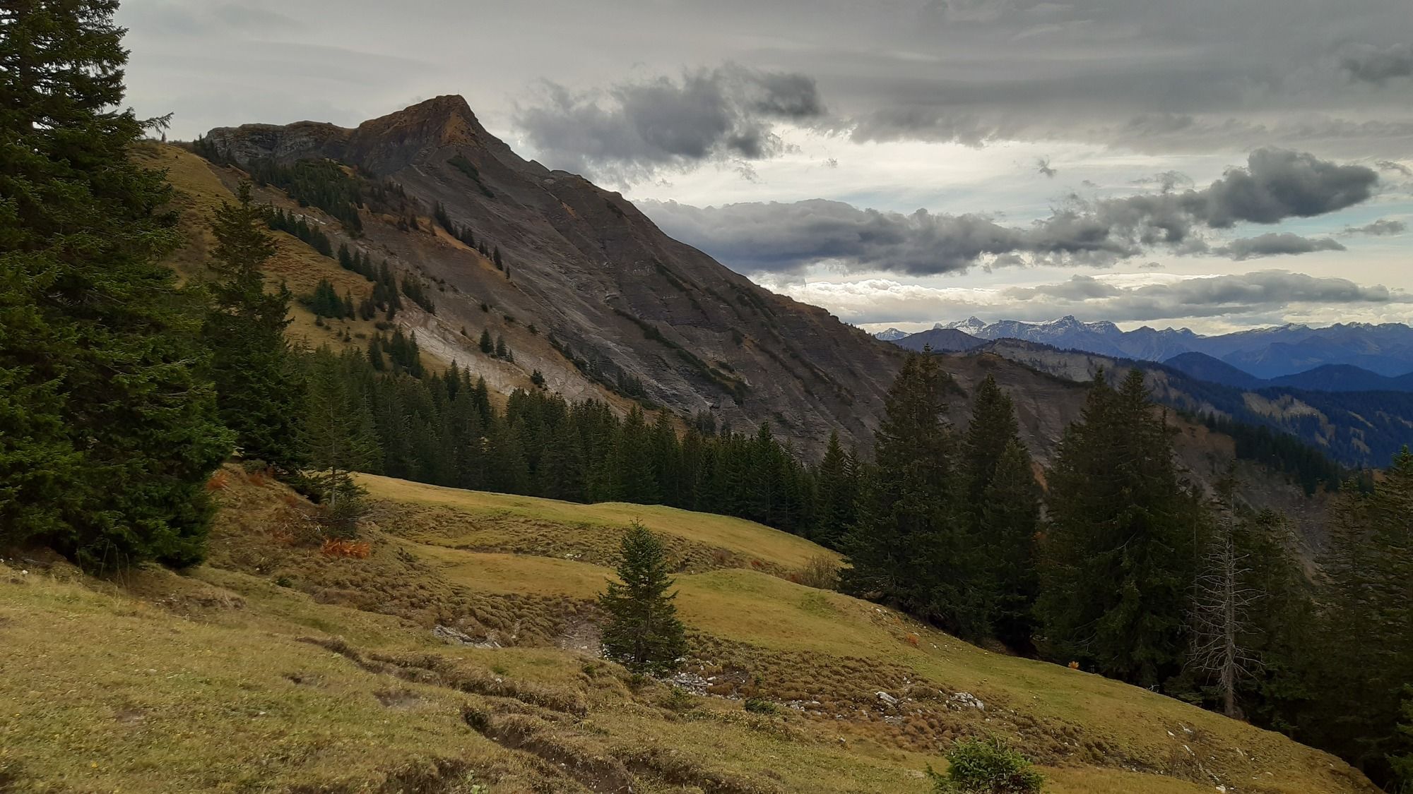
Alpenrose0,1 kmEbnit (1.075 m)0,6 kmValorsalpe6,5 kmHoher Freschen (2.004 m)9,5 kmEbnit (1.075 m)17,5 kmAlpenrose18,0 km
- Nejlepší sezóna
-
ledúnobředubkvěčenčecsrpzářříjlispro
- Nejvyšší bod
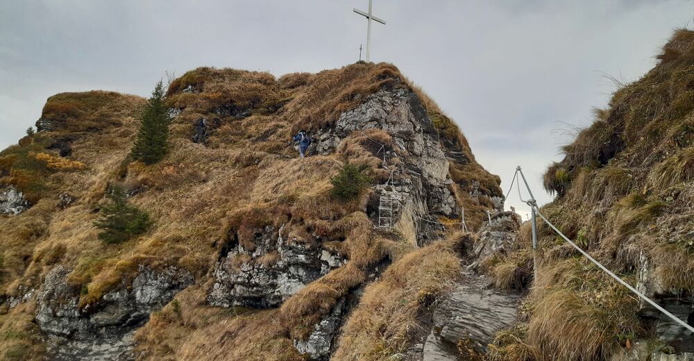
- Hoher Freschen (2.004 m)
- Cílová destinace
-
Hoher Freschen
- Odpočinek/Ústup
-
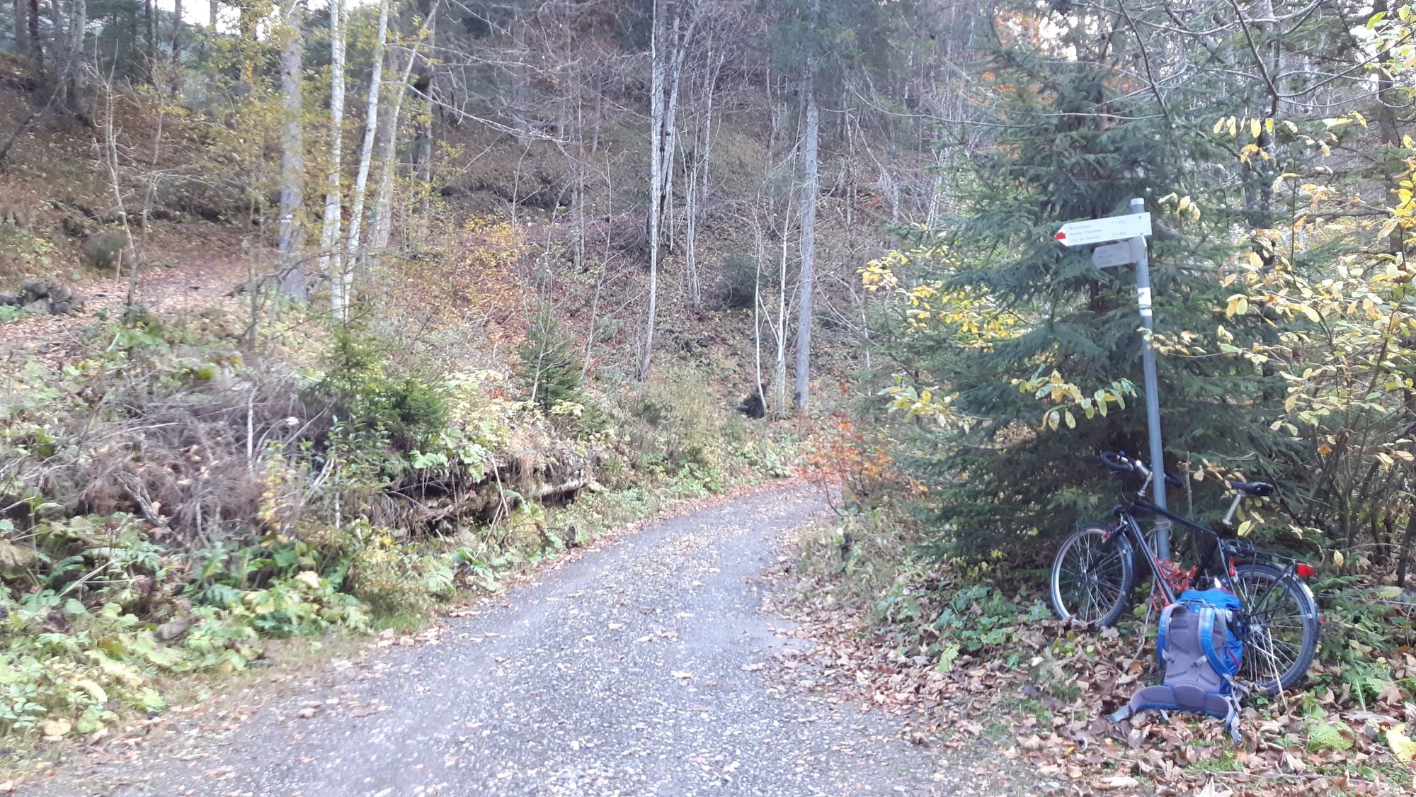
Unterwegs keine Einkehrmöglichkeit, erst wieder in Ebnit.
- Mapové podklady
-
Kompass Wanderkarte 292, Karte1, "Vorarlberg", 1:50000


- Tyto stránky
- Bernd Elsner
GPS Downloads


Podmínky na stezce
Asfalt
Štěrk
(10 km)
Louka
(20%)
Forest
(40%)
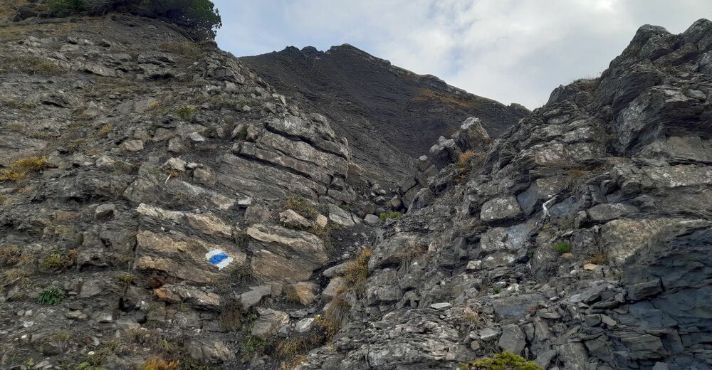
Rock
(30%)
Vystavené stránky
(10%)
Další výlety v regionech
-
St. Gallen - Bodensee
2065
-
Alpenregion Vorarlberg
1771
-
Laterns-Gapfohl
442


