Sportliche Talwanderung: Pfänderbahn - über Gschliefweg - Bregenz

Turistika

© Bodensee-Vorarlberg Tourismus GmbH - Erich Zucchali / www.guideservice.at
© Erich Zucalli / www.guideservice.at - Erich Zucalli
© Erich Zucalli / www.guideservice.at - Erich Zucalli
© Erich Zucalli / www.guideservice.at - Erich Zucalli
© Erich Zucalli / www.guideservice.at - Erich Zucalli
© Erich Zucalli / www.guideservice.at - Erich Zucalli
© Erich Zucalli / www.guideservice.at - Erich Zucalli
© Erich Zucalli / www.guideservice.at - Erich Zucalli
© Erich Zucalli / www.guideservice.at - Erich Zucalli
© Erich Zucalli / www.guideservice.at - Erich Zucalli

- Stručný popis
-
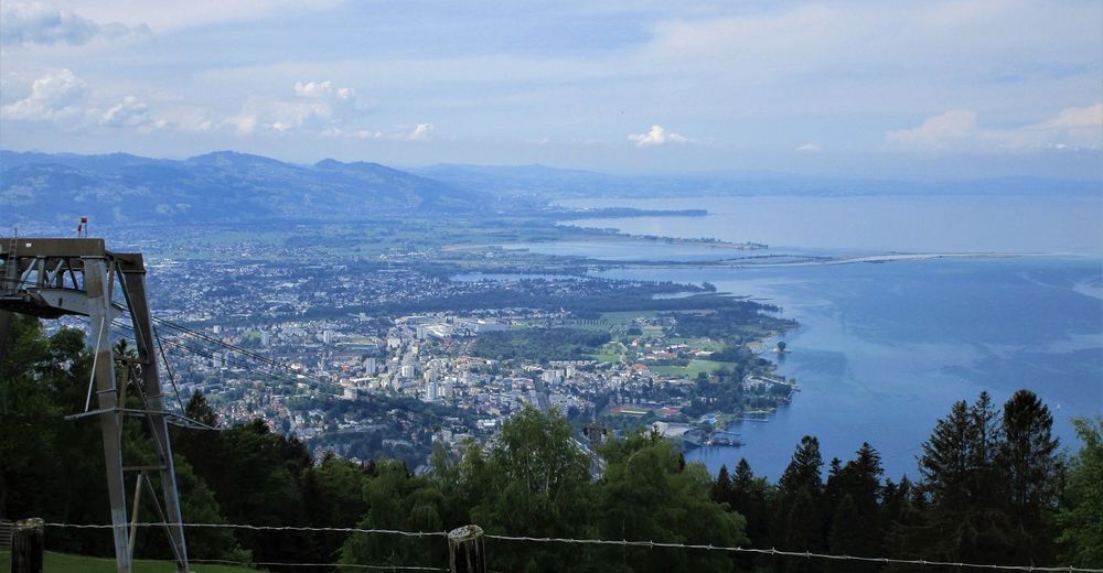
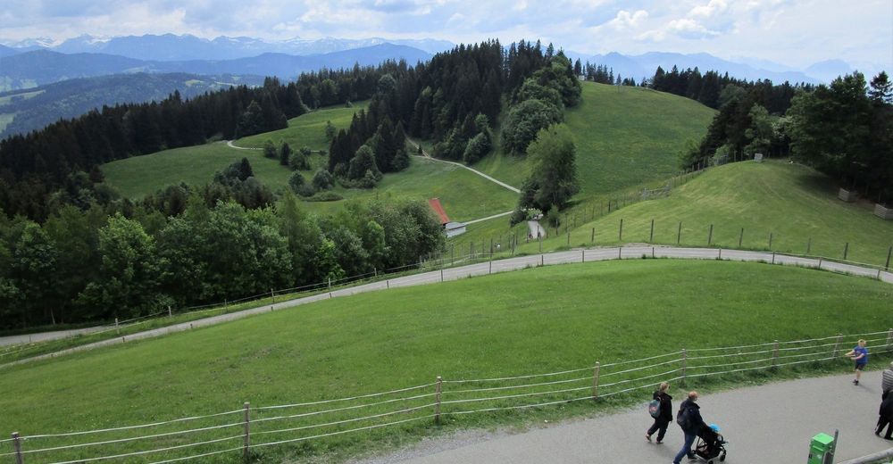
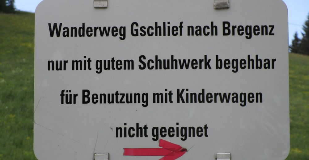
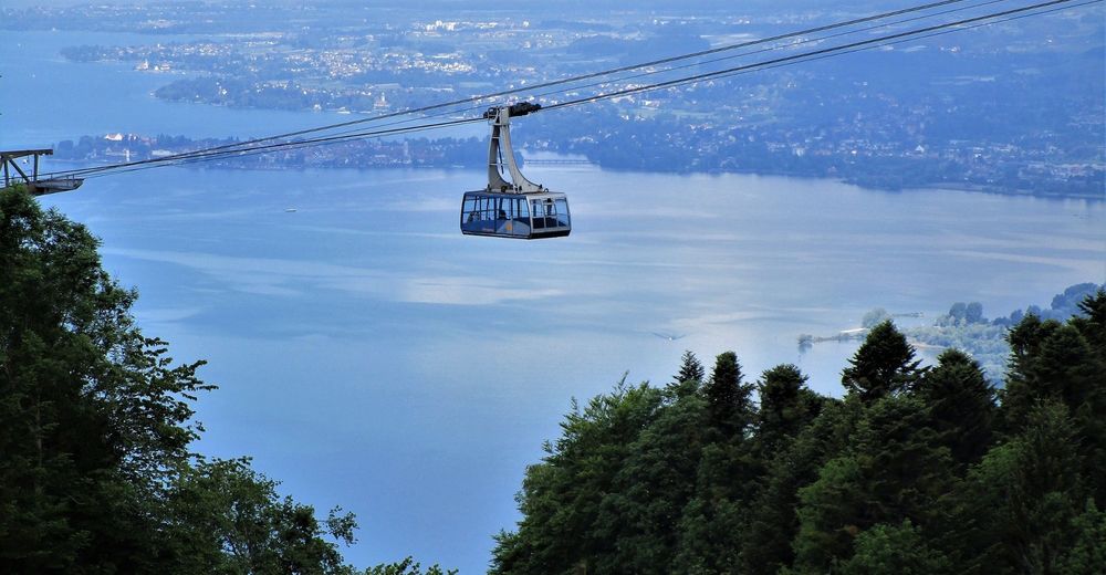
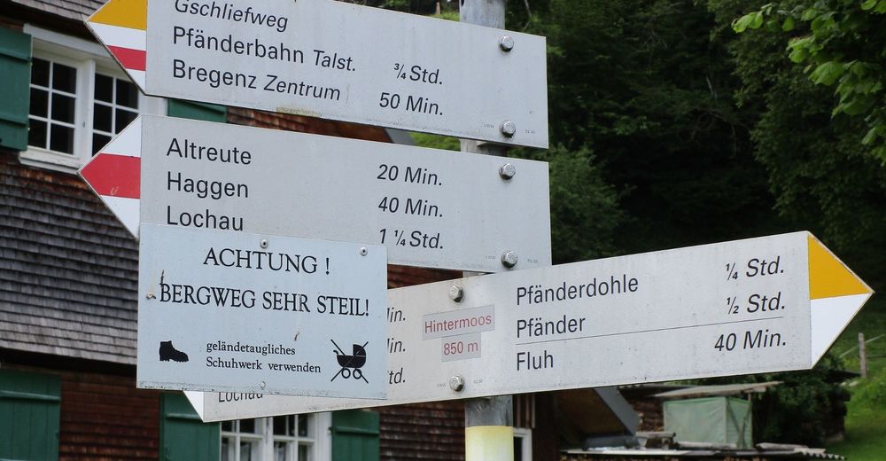
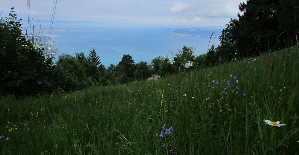
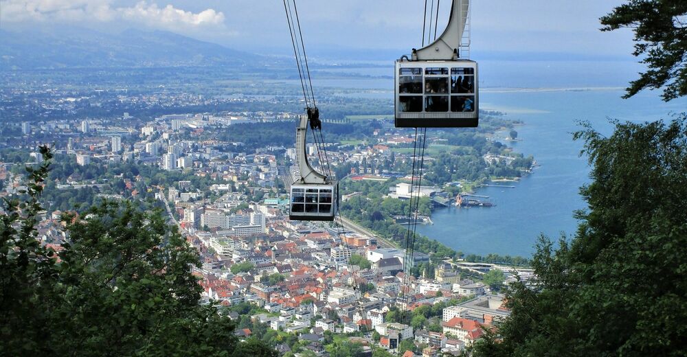
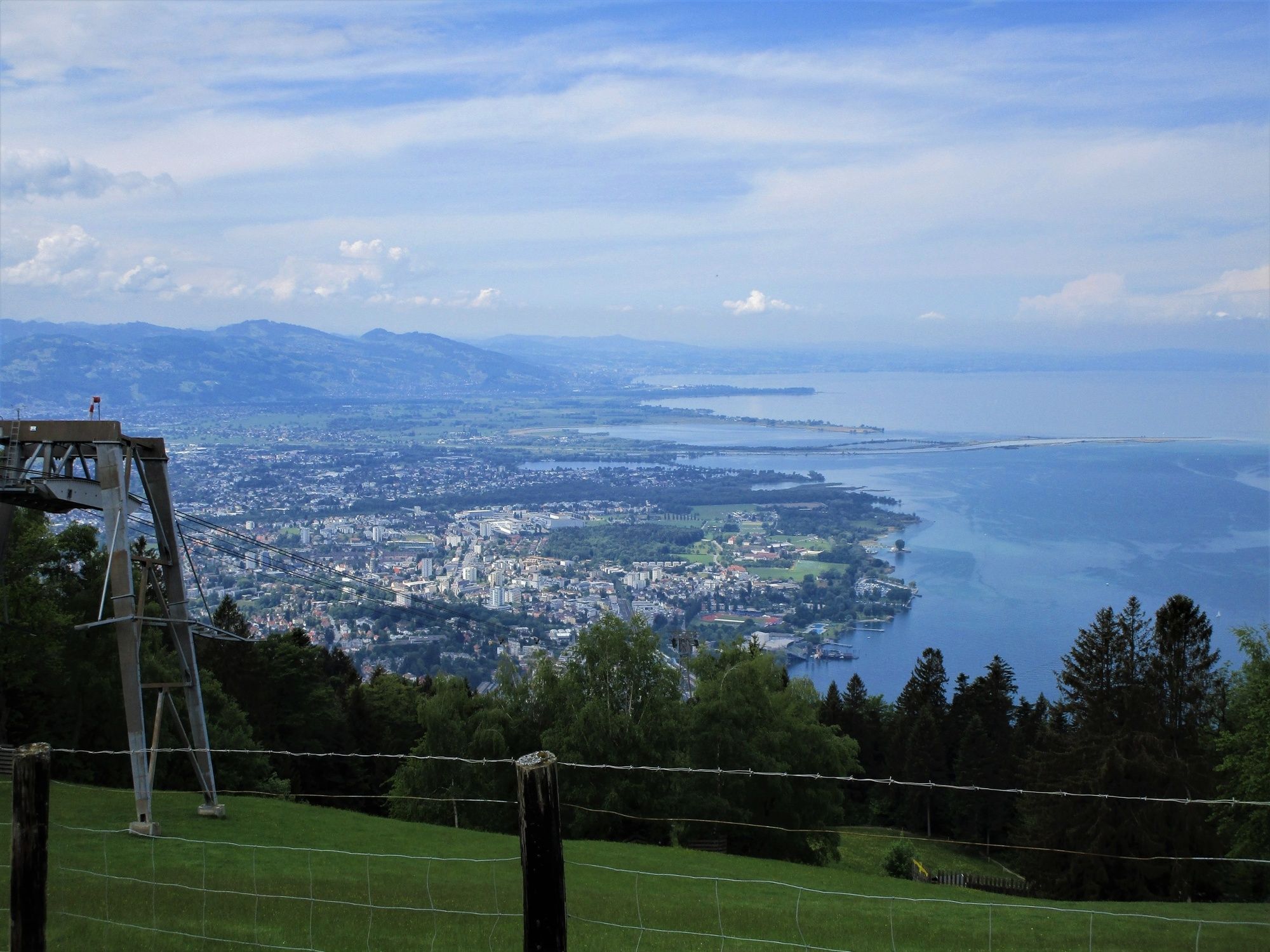
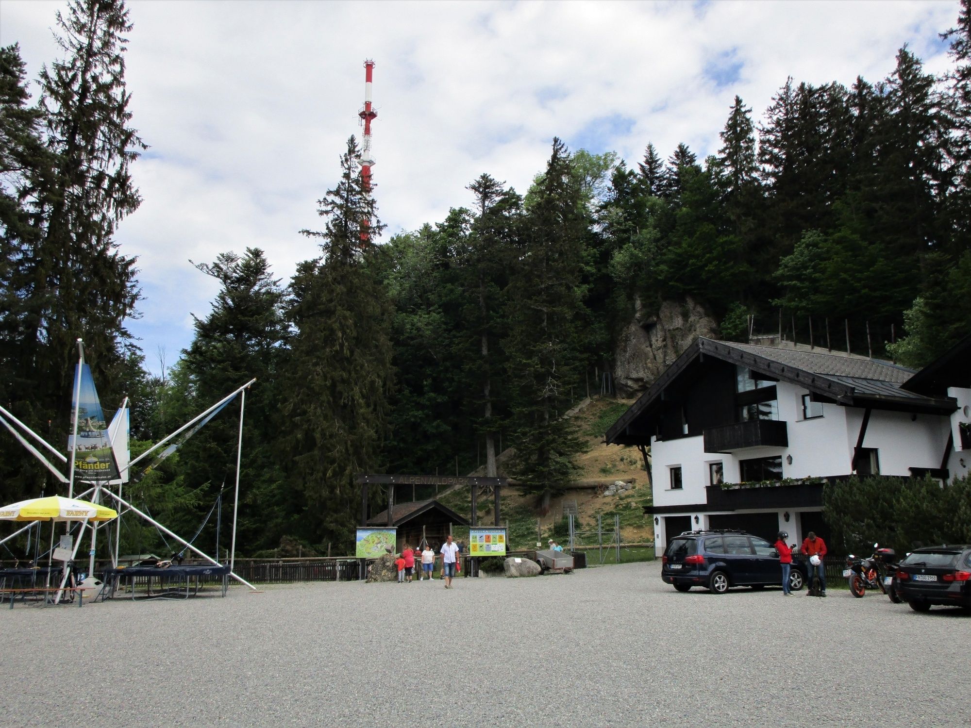
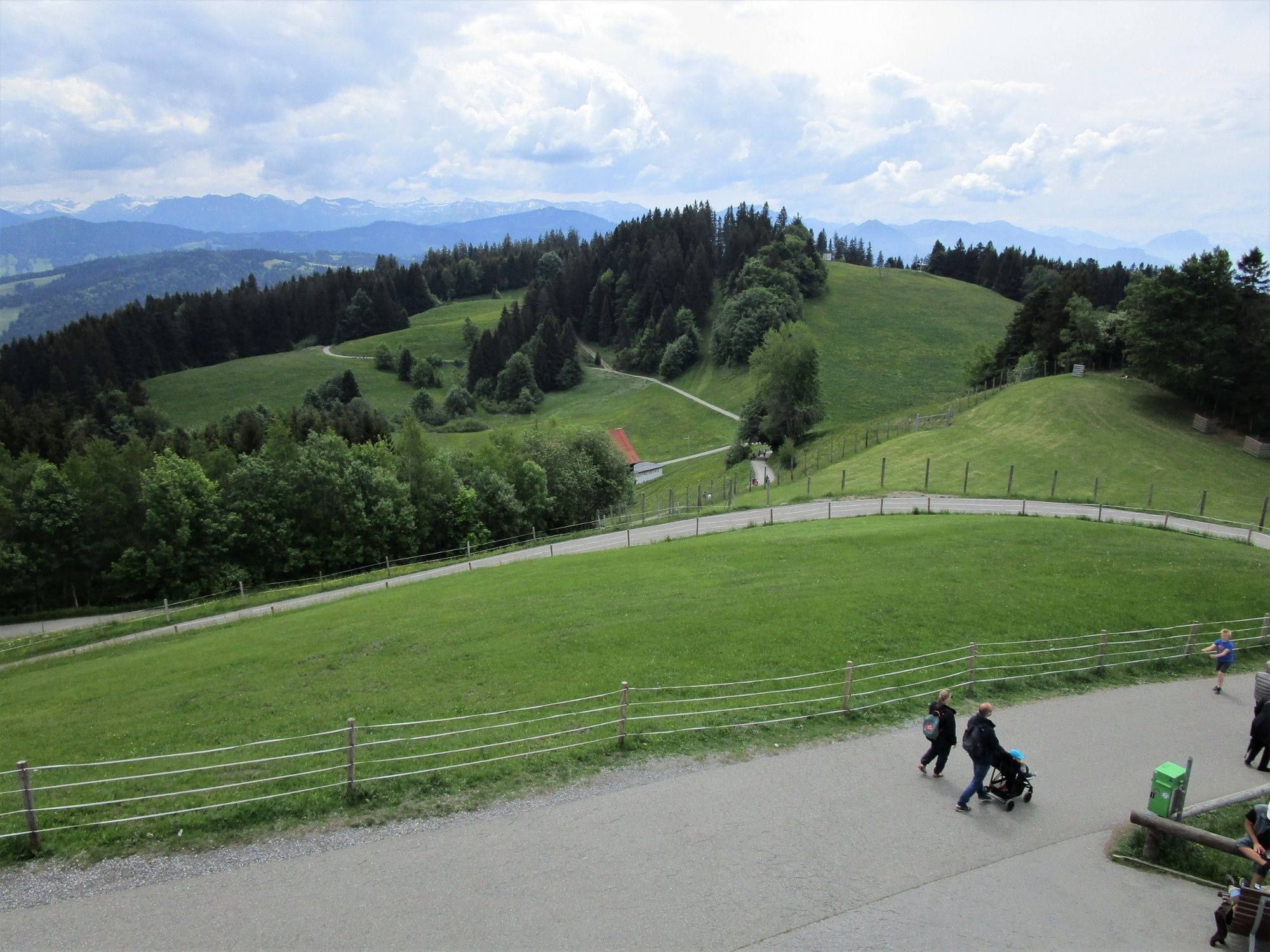
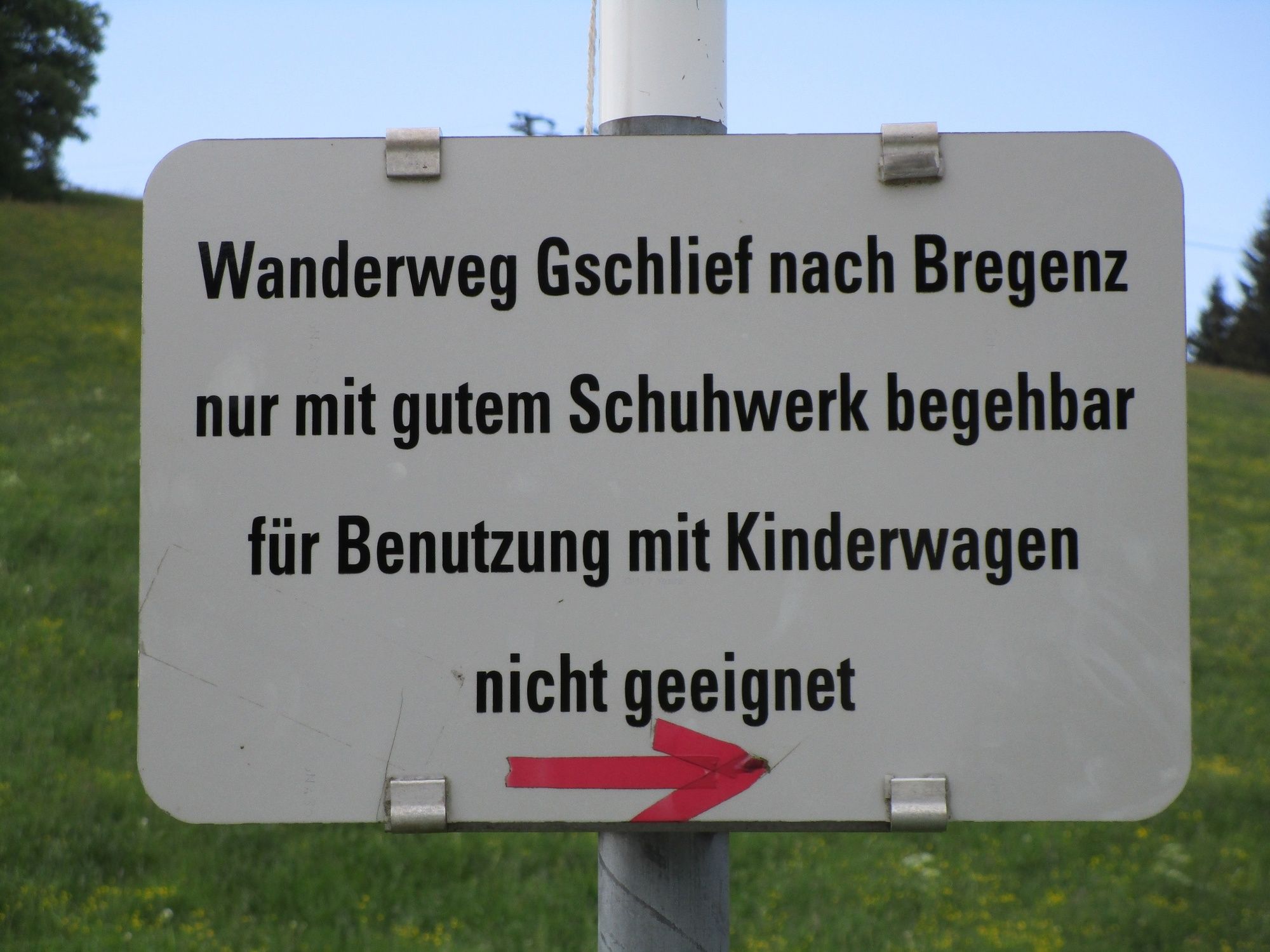
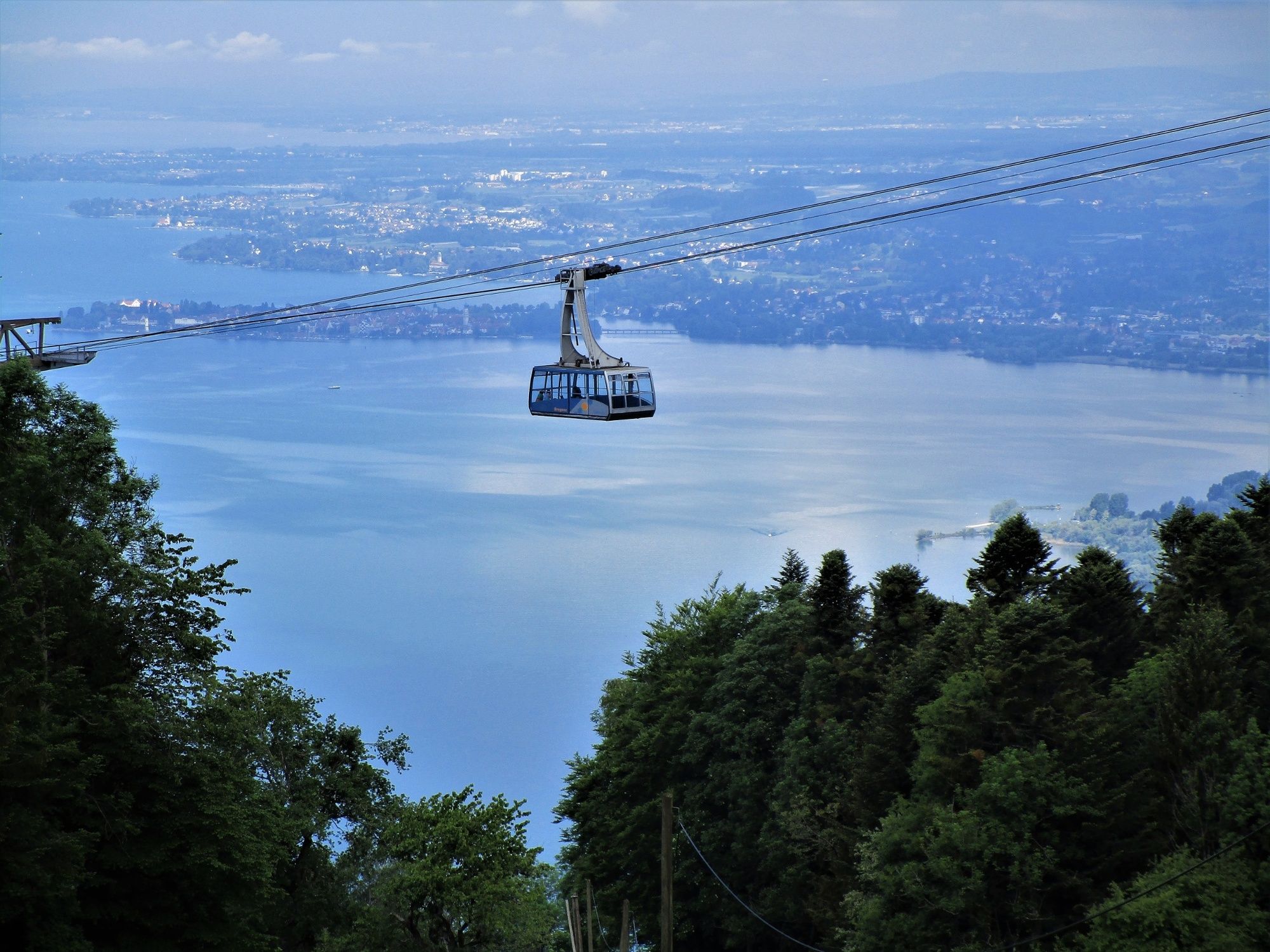
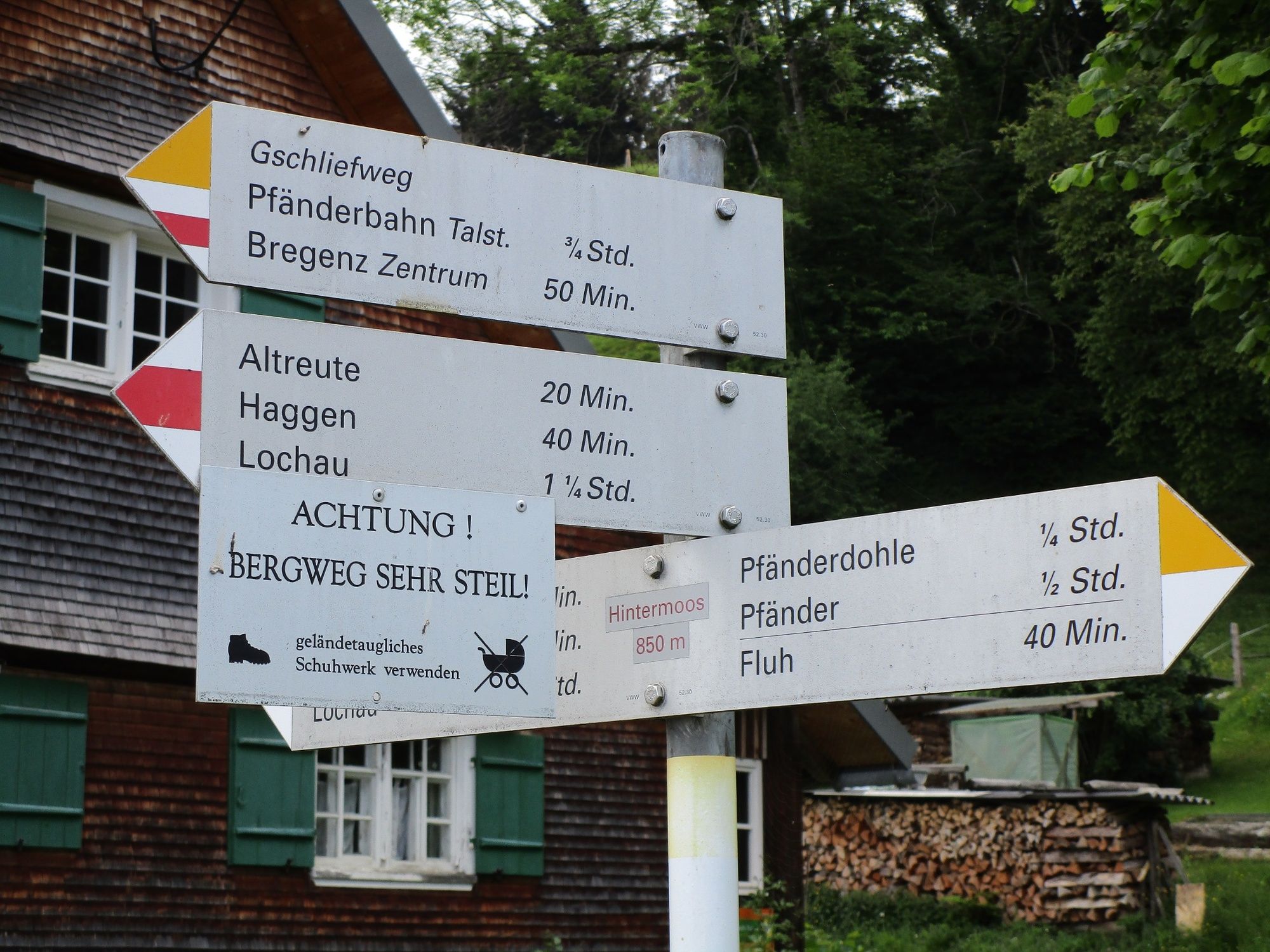
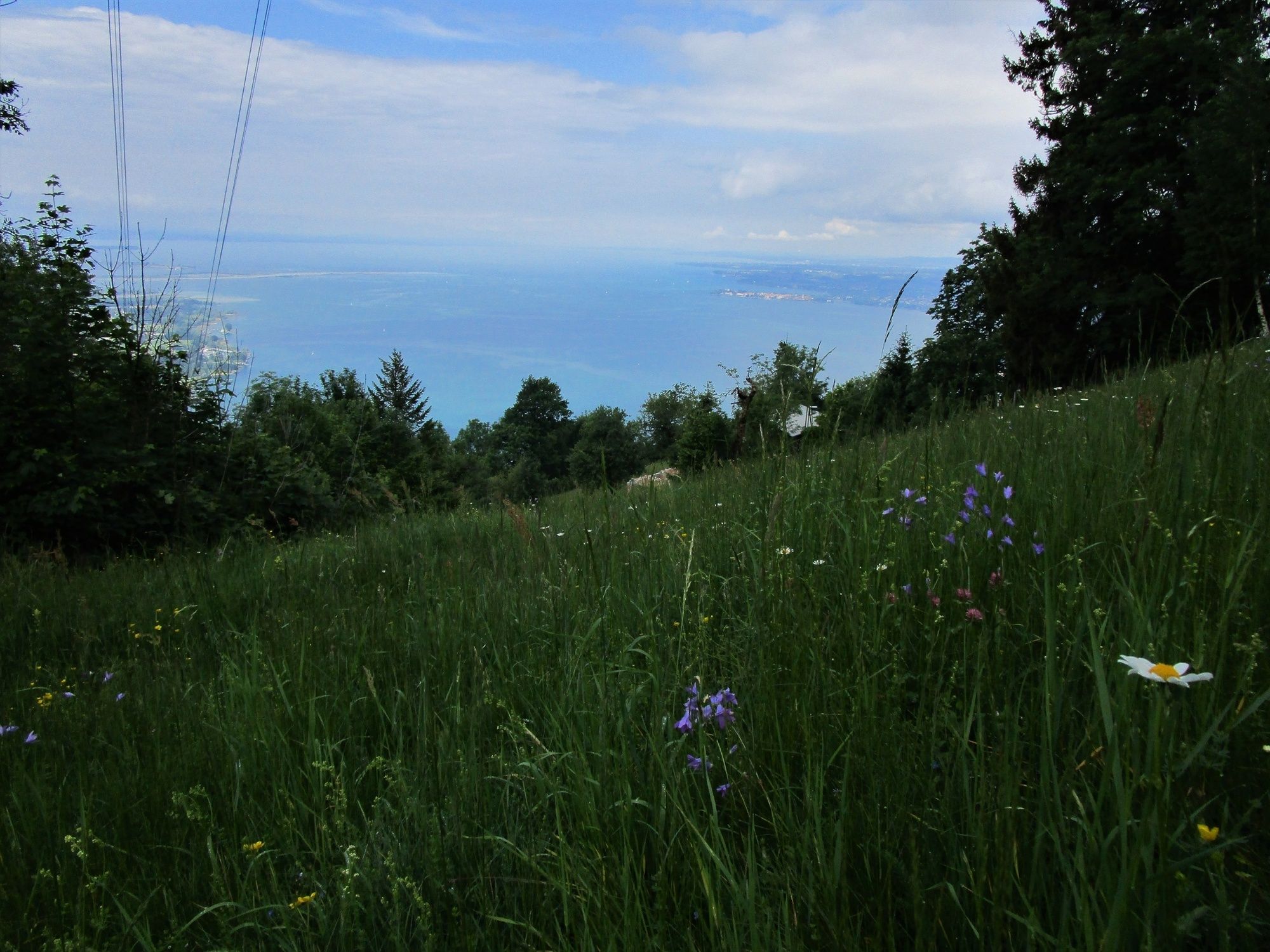
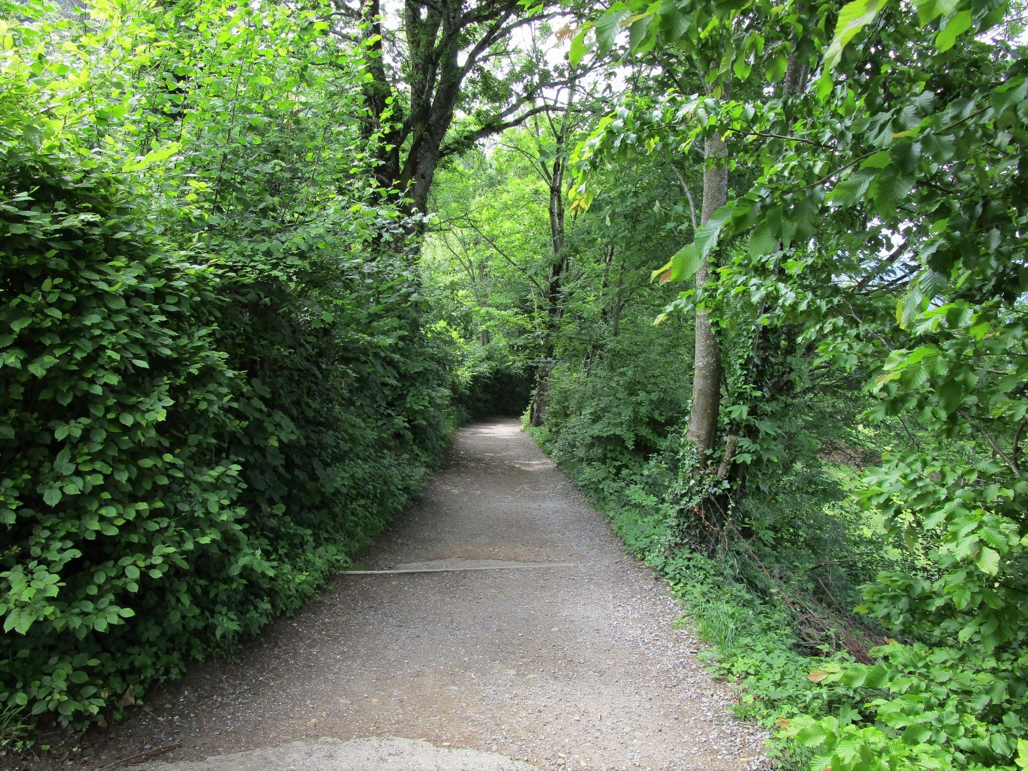
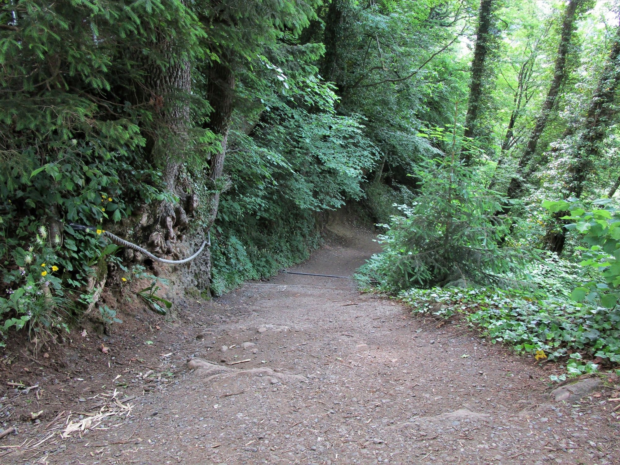
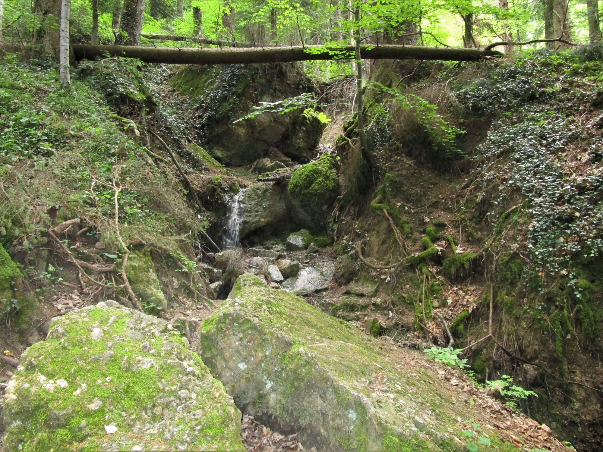
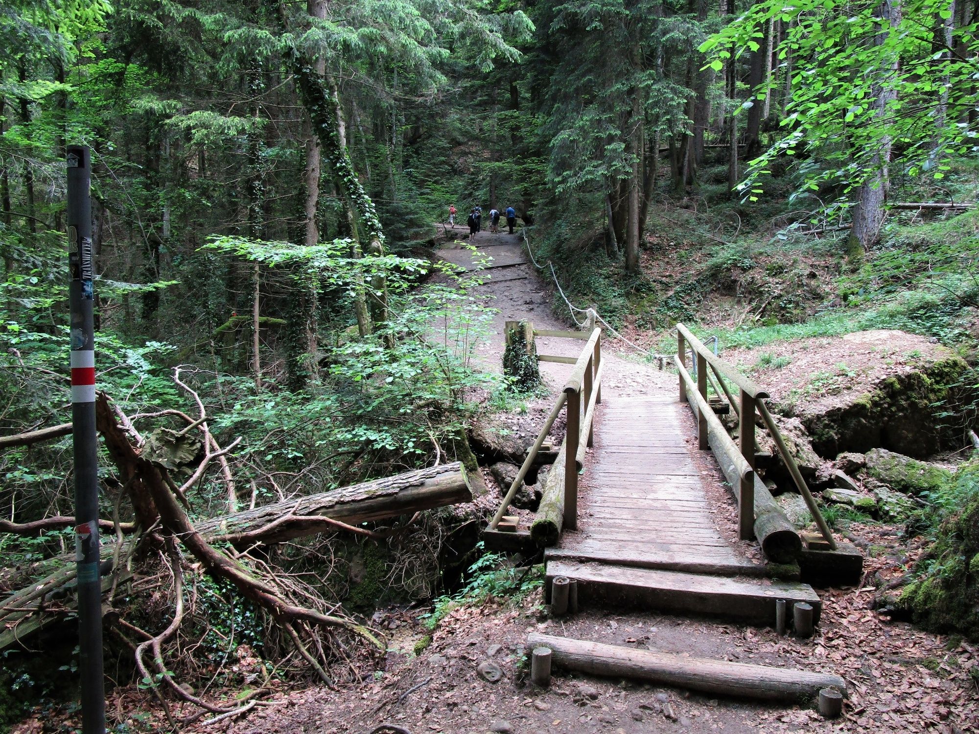
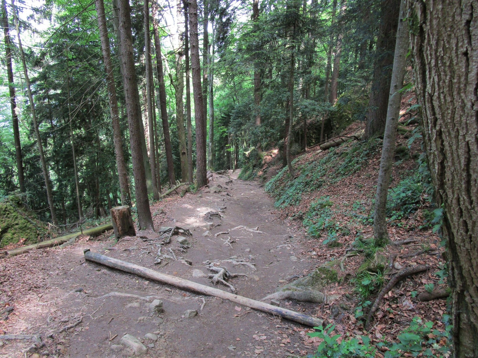
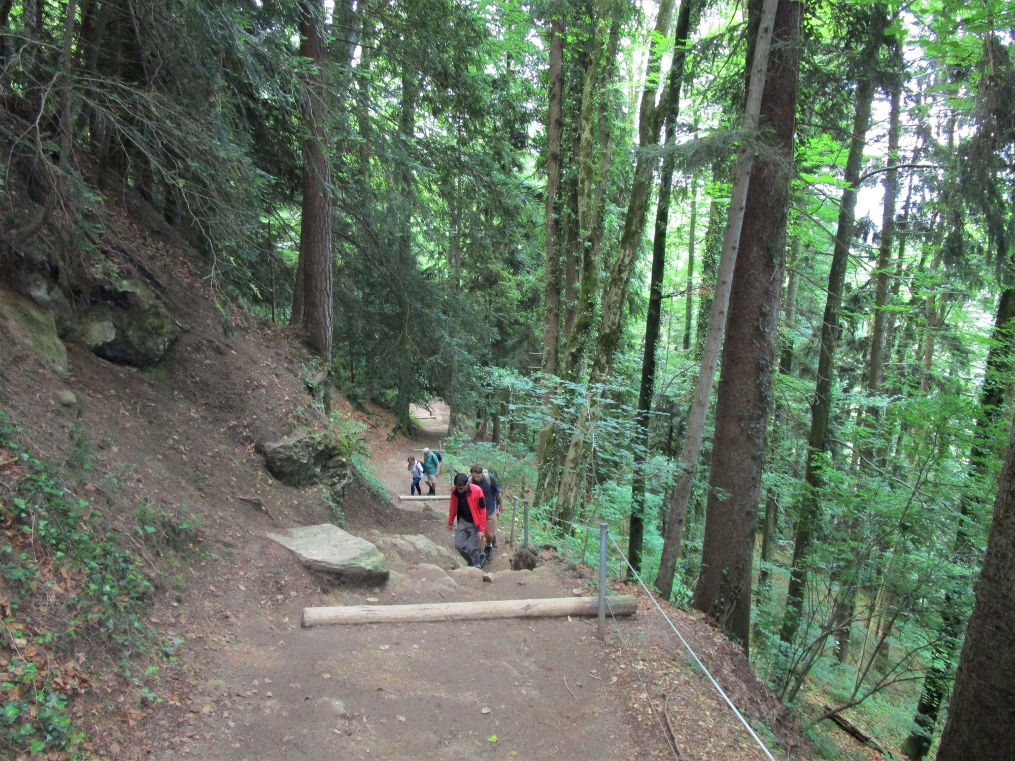
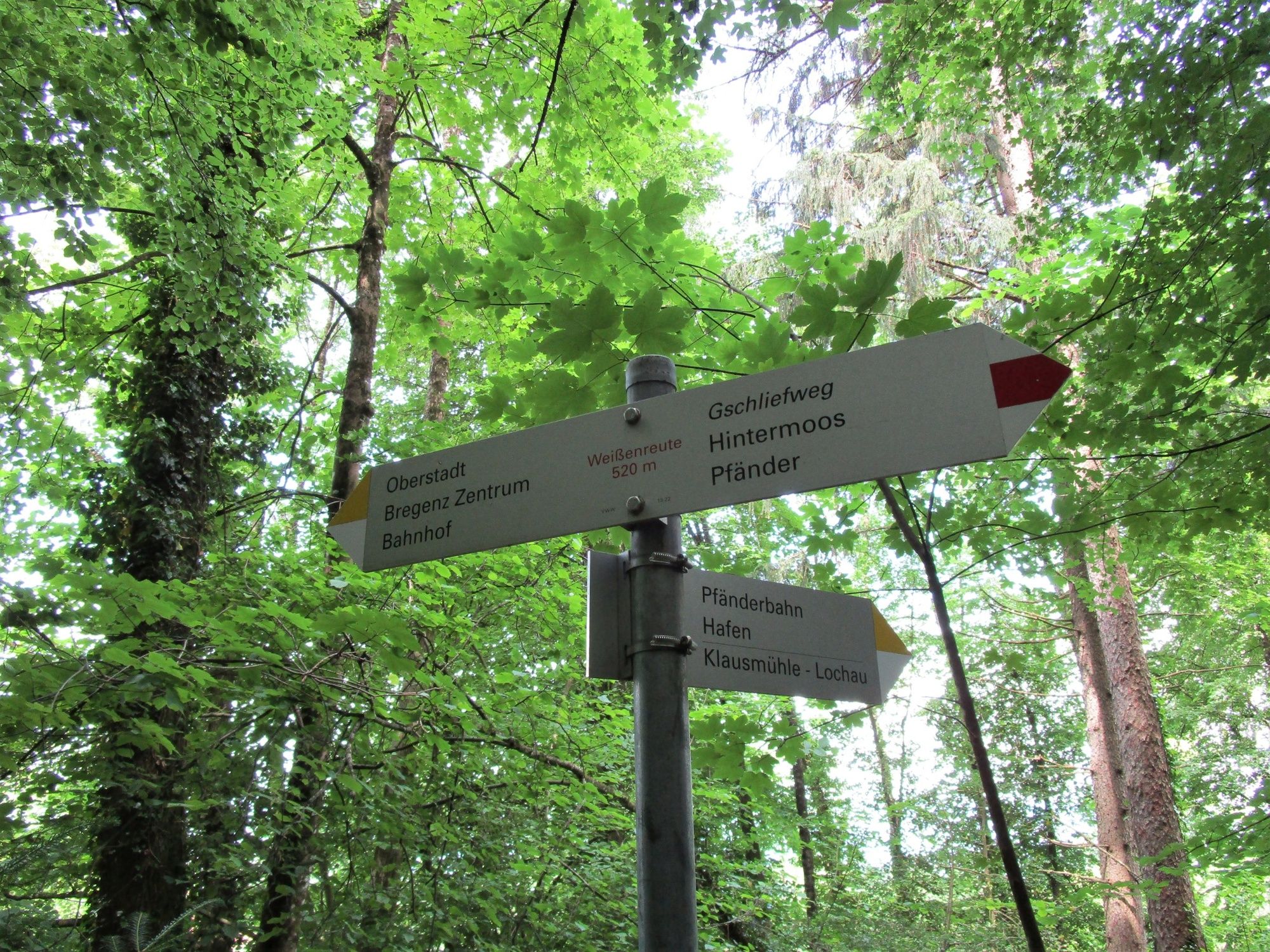
Aussichtsreiche Wanderung von der Bergstation der Pfänderbahn über den teils steilen, aber interessanten Gschliefweg zurück zur Talstation.
- Obtížnost
-
střední
- Hodnocení
-
- Trasa
-
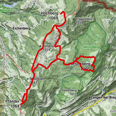
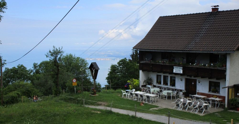
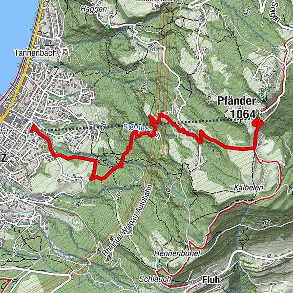
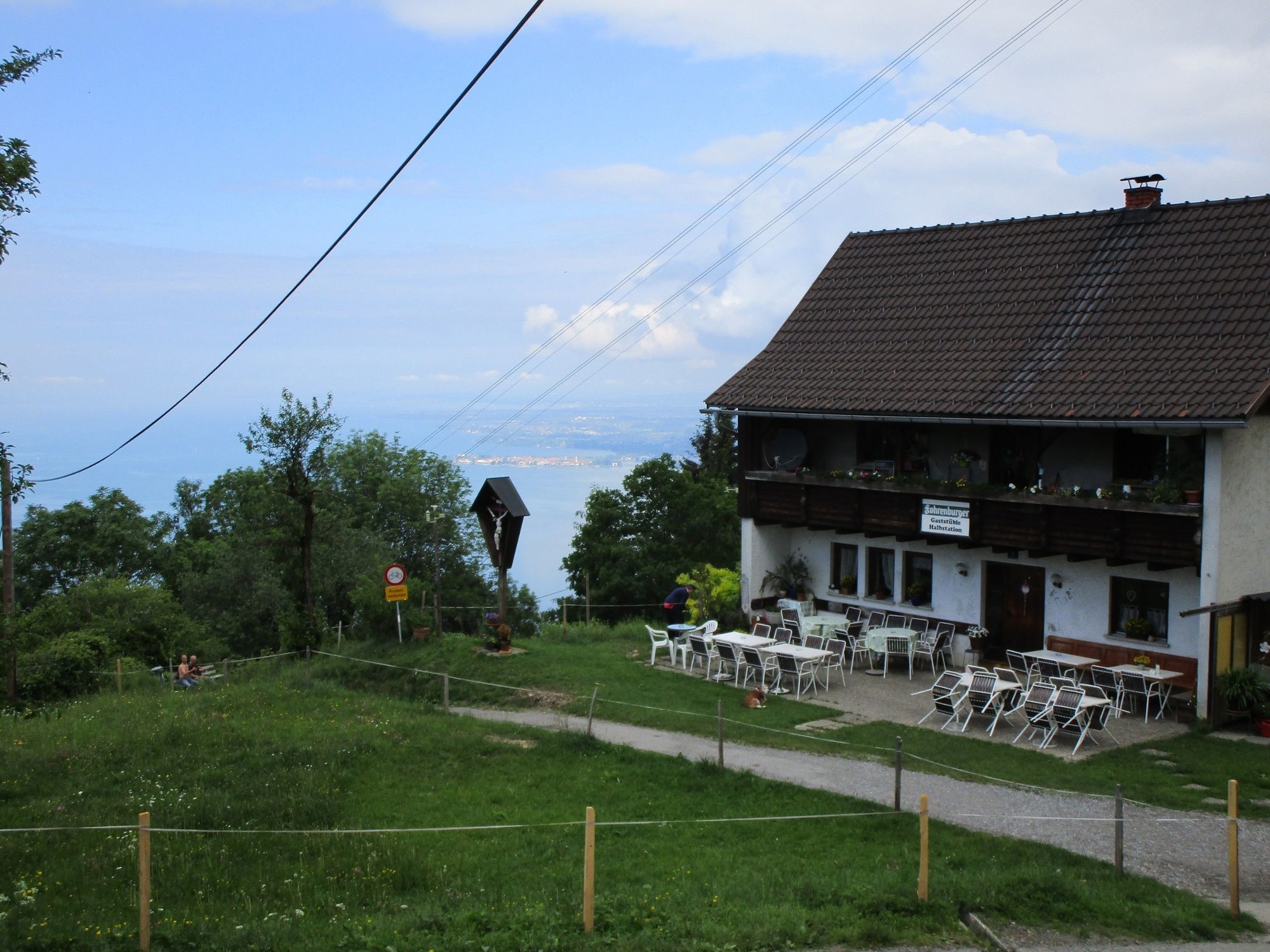
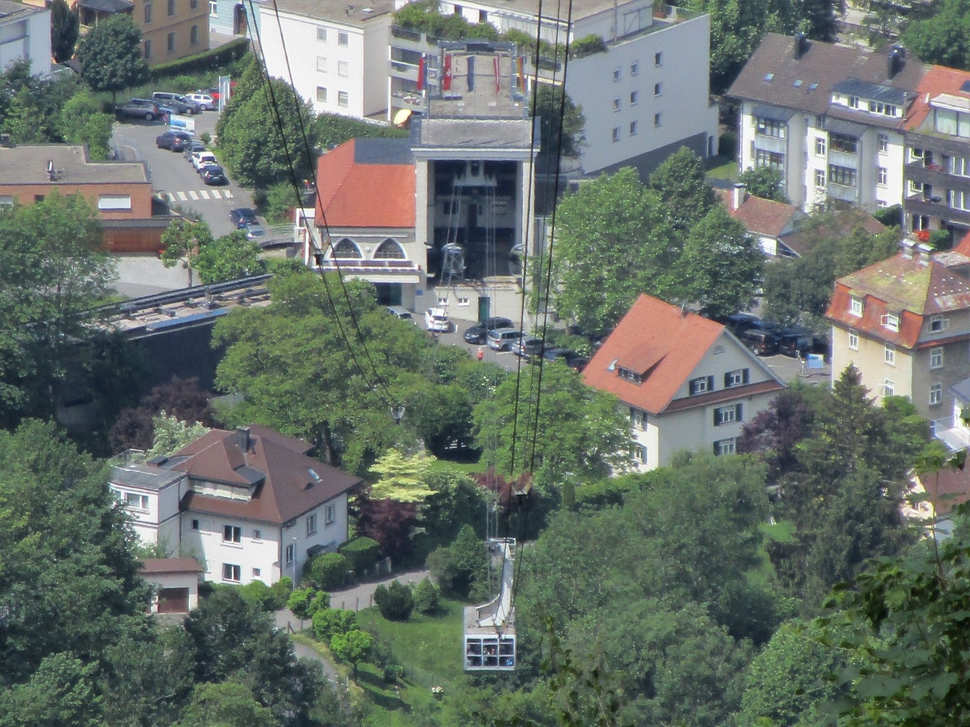
Gaststüble Halbstation1,2 kmPfänderbahn Talstation3,7 kmBregenz (427 m)3,8 km
- Nejlepší sezóna
-
ledúnobředubkvěčenčecsrpzářříjlispro
- Nejvyšší bod
- 1.018 m
- Cílová destinace
-
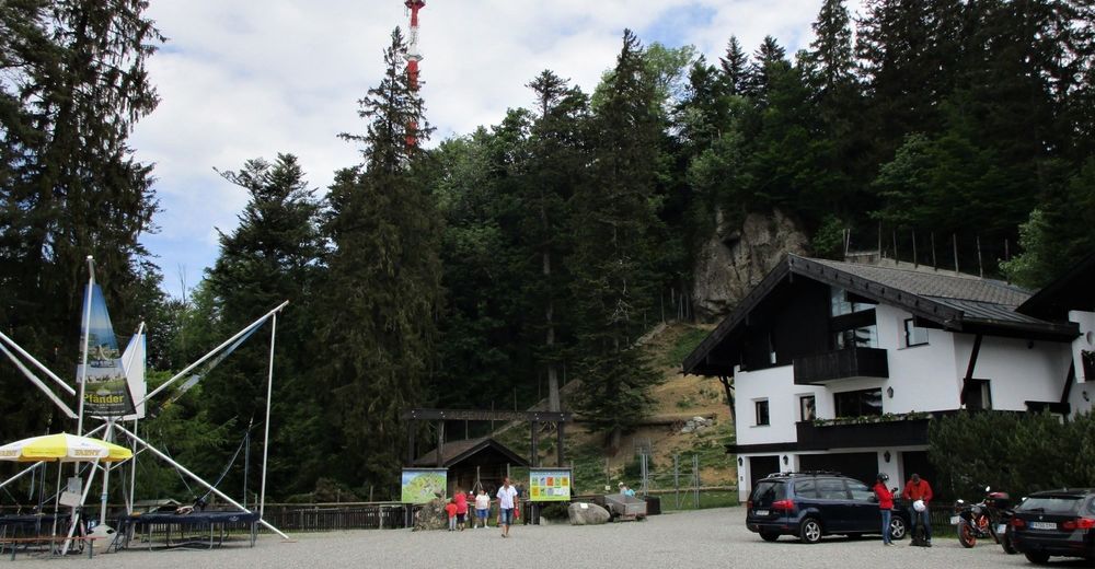
Talstation Pfänderbahn
- Výškový profil
-


- Autor
-
Prohlídka Sportliche Talwanderung: Pfänderbahn - über Gschliefweg - Bregenz používá outdooractive.com na adrese ..
GPS Downloads


Obecné informace
Zastávka s občerstvením
Slibný
Další výlety v regionech
-
St. Gallen - Bodensee
2067
-
Bodensee - Vorarlberg
1317
-
Bregenz - Pfänderbahn
342