Vom Monte San Salvatore über die Alpe Vicania nach Morcote

Turistika

© Tourenplaner SCHWEIZ - Hanka Hurabova

© Tourenplaner SCHWEIZ - Hanka Hurabova

© Tourenplaner SCHWEIZ - Hanka Hurabova

© Tourenplaner SCHWEIZ - Hanka Hurabova

© Tourenplaner SCHWEIZ - Hanka Hurabova

© Tourenplaner SCHWEIZ - Hanka Hurabova

© Tourenplaner SCHWEIZ - Hanka Hurabova

© Tourenplaner SCHWEIZ - Hanka Hurabova

© Tourenplaner SCHWEIZ - Hanka Hurabova

© Tourenplaner SCHWEIZ - Hanka Hurabova

- Stručný popis
-
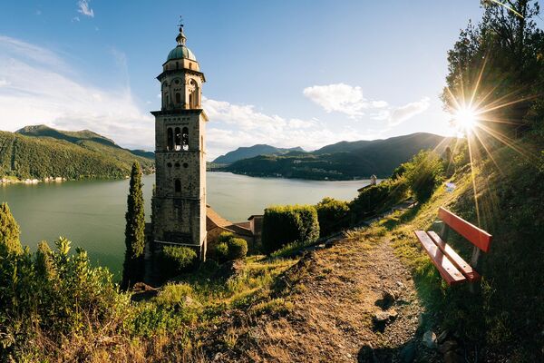
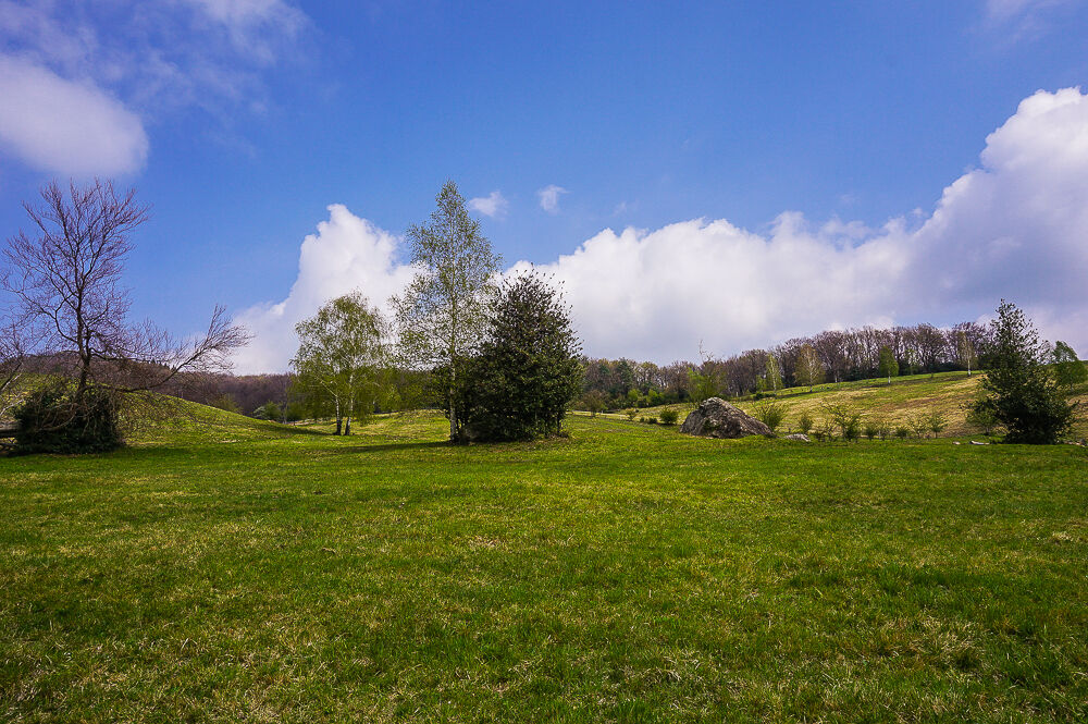
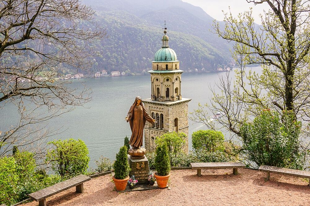
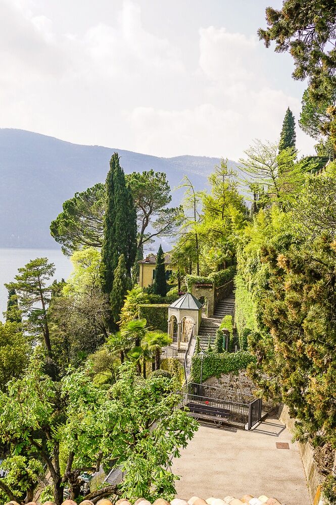
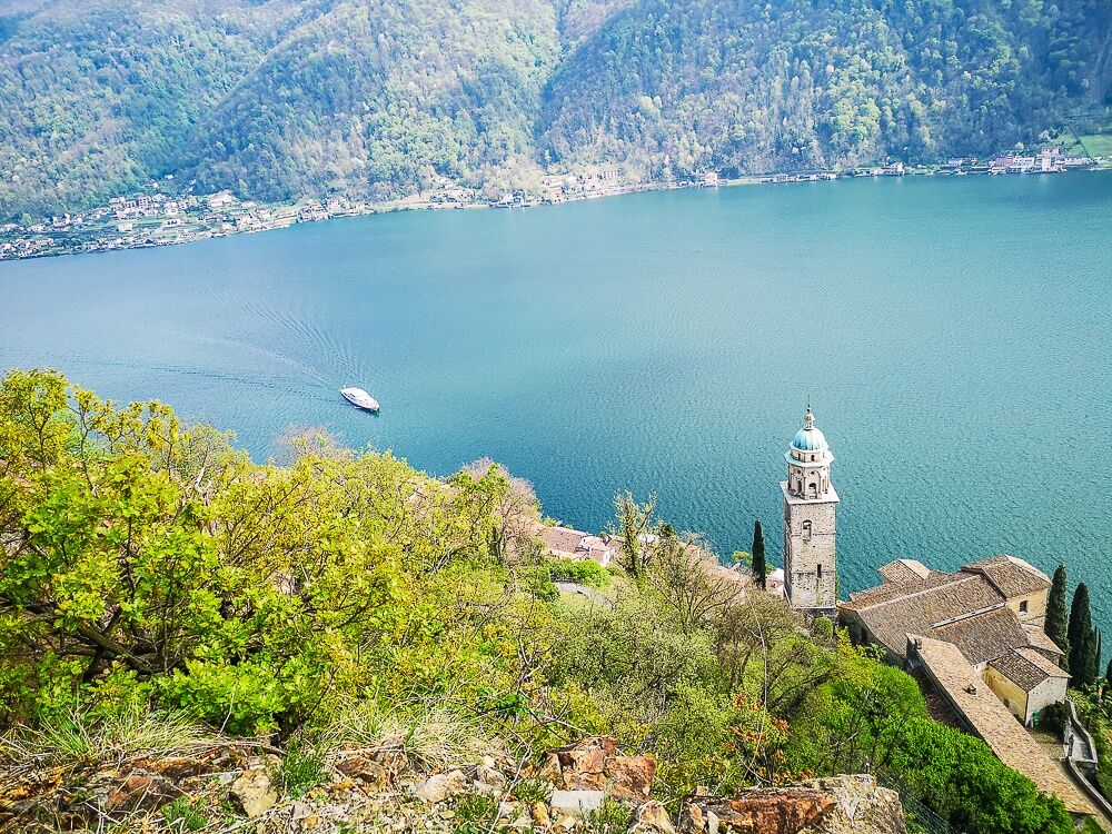
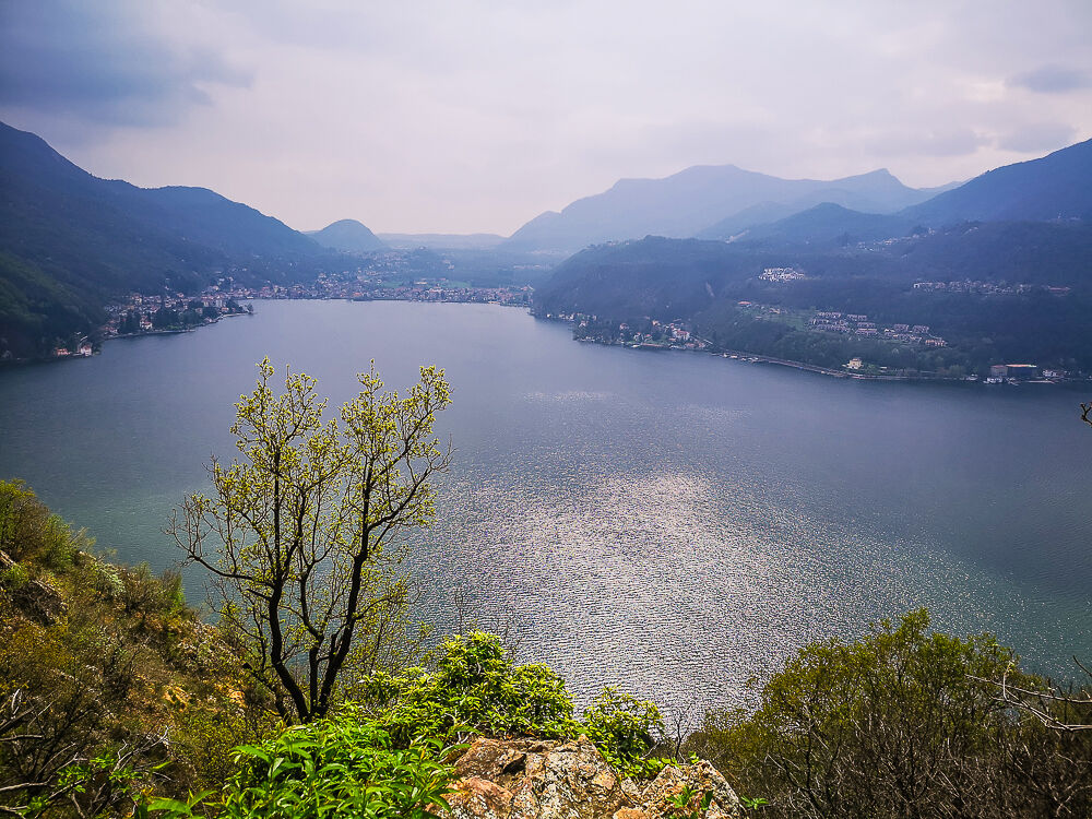
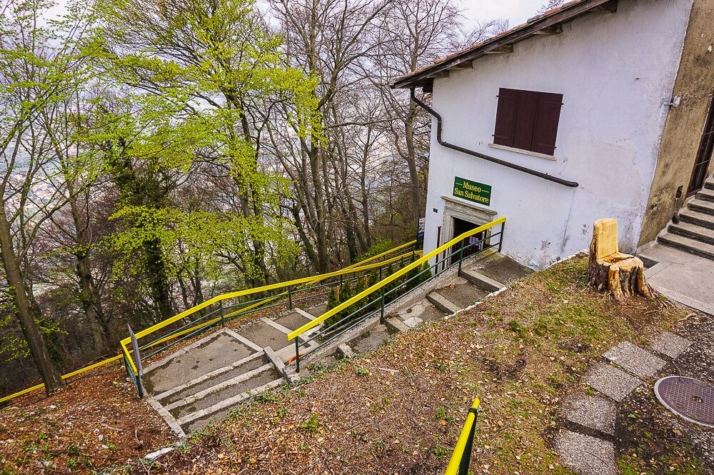
Diese Wanderung ist eine Tessiner Klassiker. Sie beginnt auf dem Gipfel des Hausbergs von Lugano, dem Monte San Salvatore, und führt hinunter ins schöne Dorf Morcote.
- Obtížnost
-
těžké
- Hodnocení
-
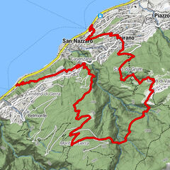
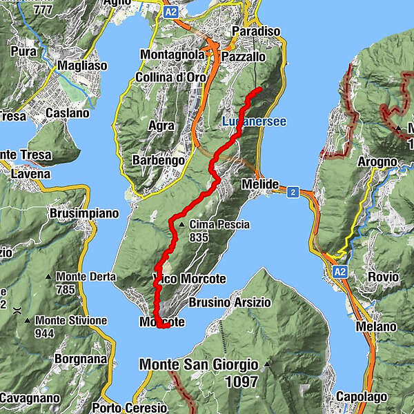
- Trasa
-
Lugano (273 m)0,0 kmMonte San Salvatore (912 m)0,0 kmChiesa di San Salvatore0,0 kmVetta San Salvatore0,2 kmCarabbia (523 m)1,2 kmCiona1,9 kmOratorio Santa Maria delle Grazie2,0 kmCarona (597 m)3,5 kmRistorante Vicania7,3 kmOratorio di Sant'Antonio da Padova9,0 kmChiesa di Santa Maria del Sasso9,0 kmMorcote (272 m)9,2 kmPortone9,4 kmMorcote (280 m)9,4 km
- Nejlepší sezóna
-
ledúnobředubkvěčenčecsrpzářříjlispro
- Nejvyšší bod
- 902 m
- Cílová destinace
-
Morcote
- Výškový profil
-
 © outdooractive.com


-

-
AutorProhlídka Vom Monte San Salvatore über die Alpe Vicania nach Morcote používá outdooractive.com na adrese ..
GPS Downloads


Obecné informace
Zastávka s občerstvením
Kulturní/Historické stránky
Flora
Fauna
Slibný
Další výlety v regionech
-
Varese
510
-
Lugano und Umgebung
538
-
Carona
229