© Region Graz - Harry Schiffer

© Region Graz - Harry Schiffer

© TV Ligist - Heinz Kürzl

© TV Ligist - Rainer M. Fürstaller

© Region Graz - Harry Schiffer

© TV Ligist

© TV Ligist - Arnold Bauer

© TV Ligist

© TV Ligist - Rainer M. Fürstaller

- Stručný popis
-
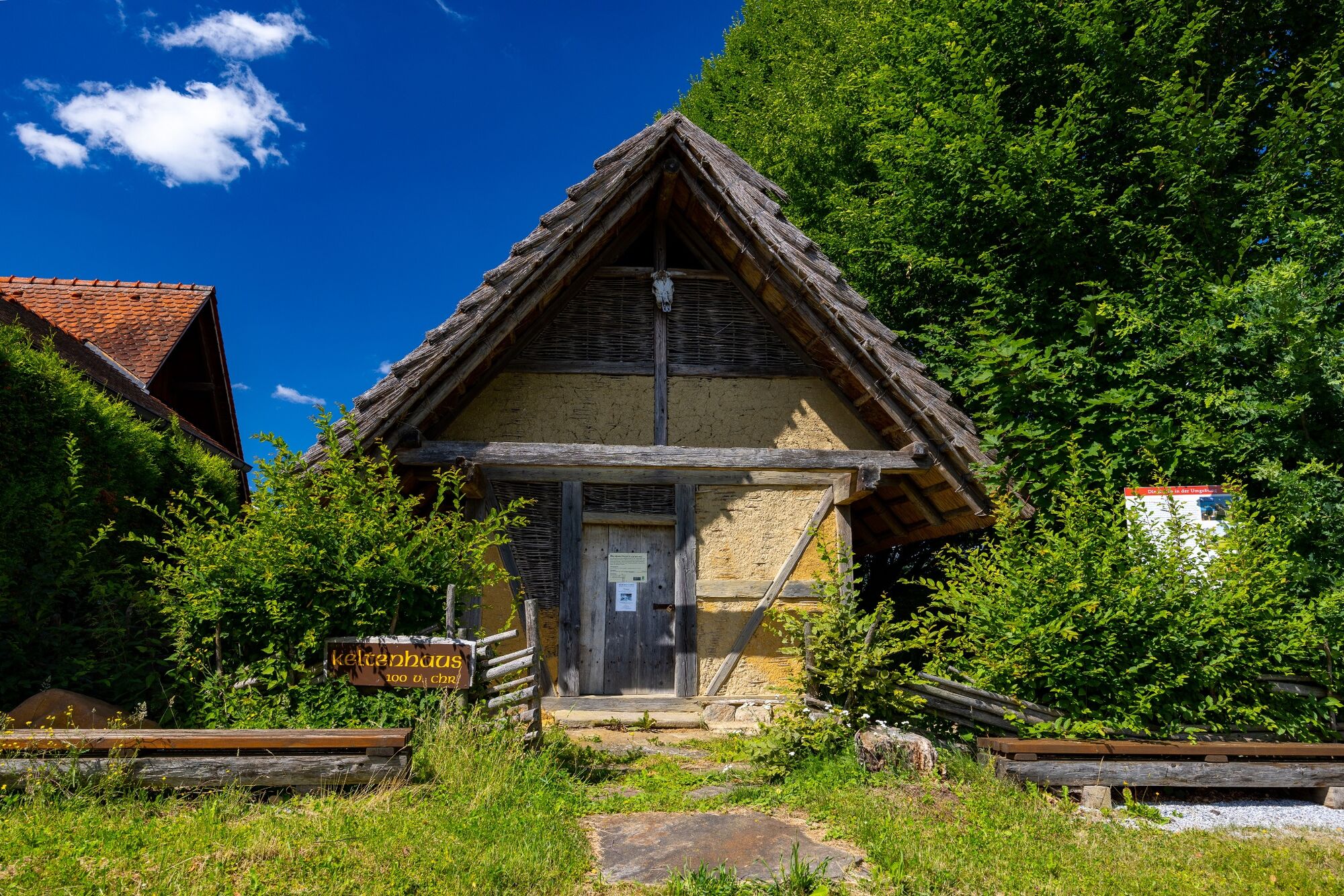
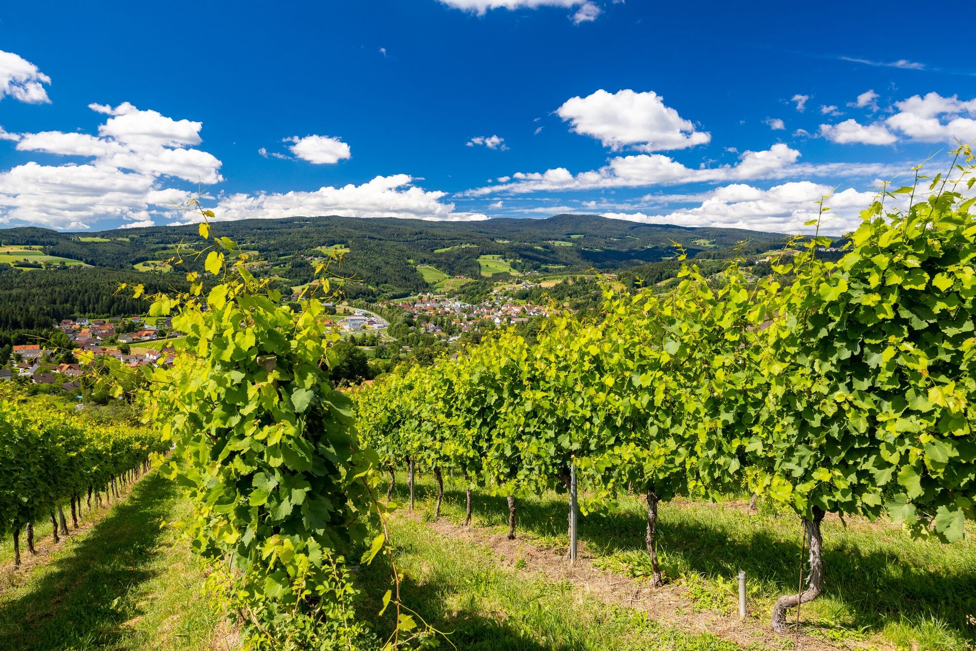
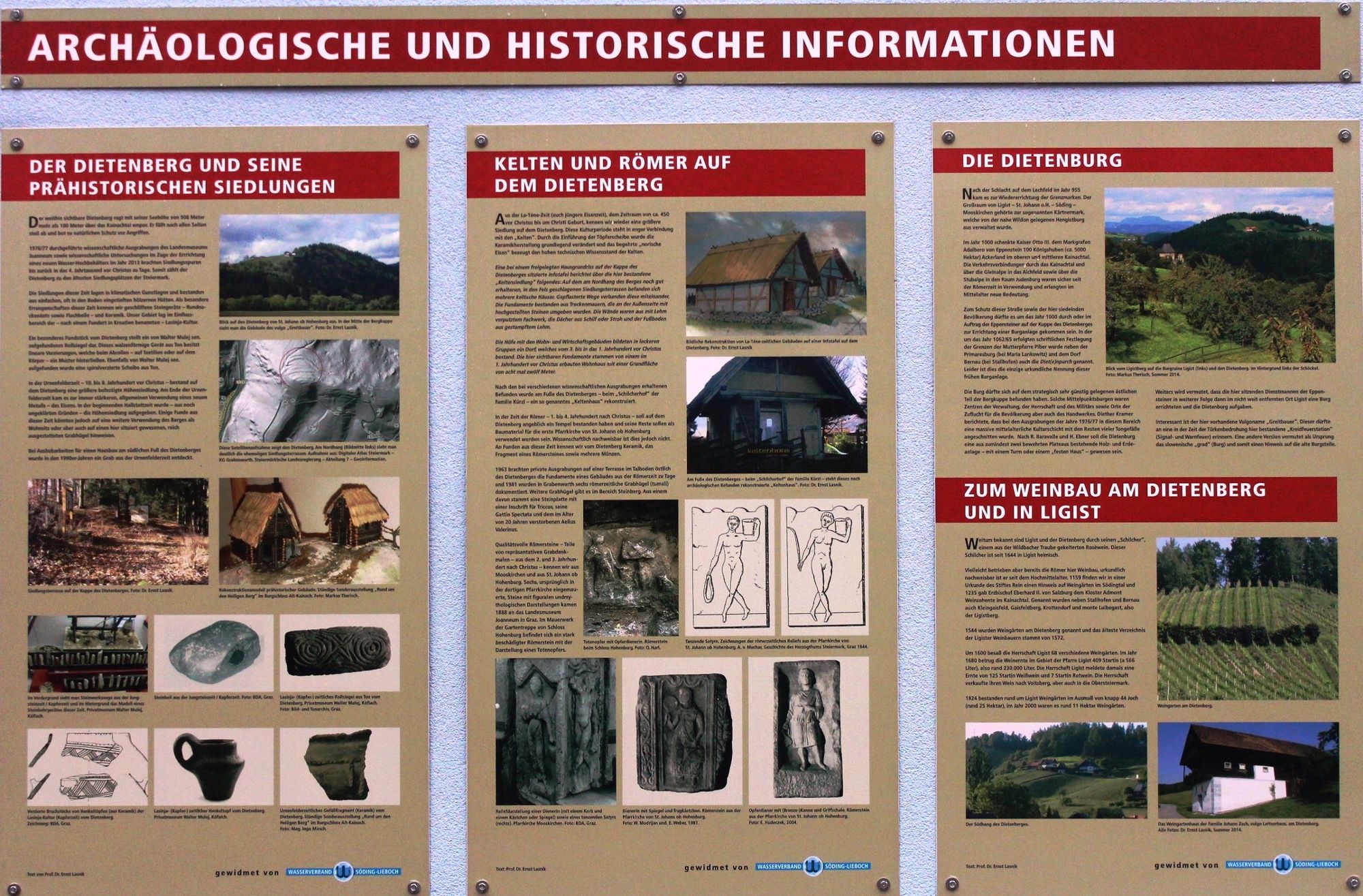
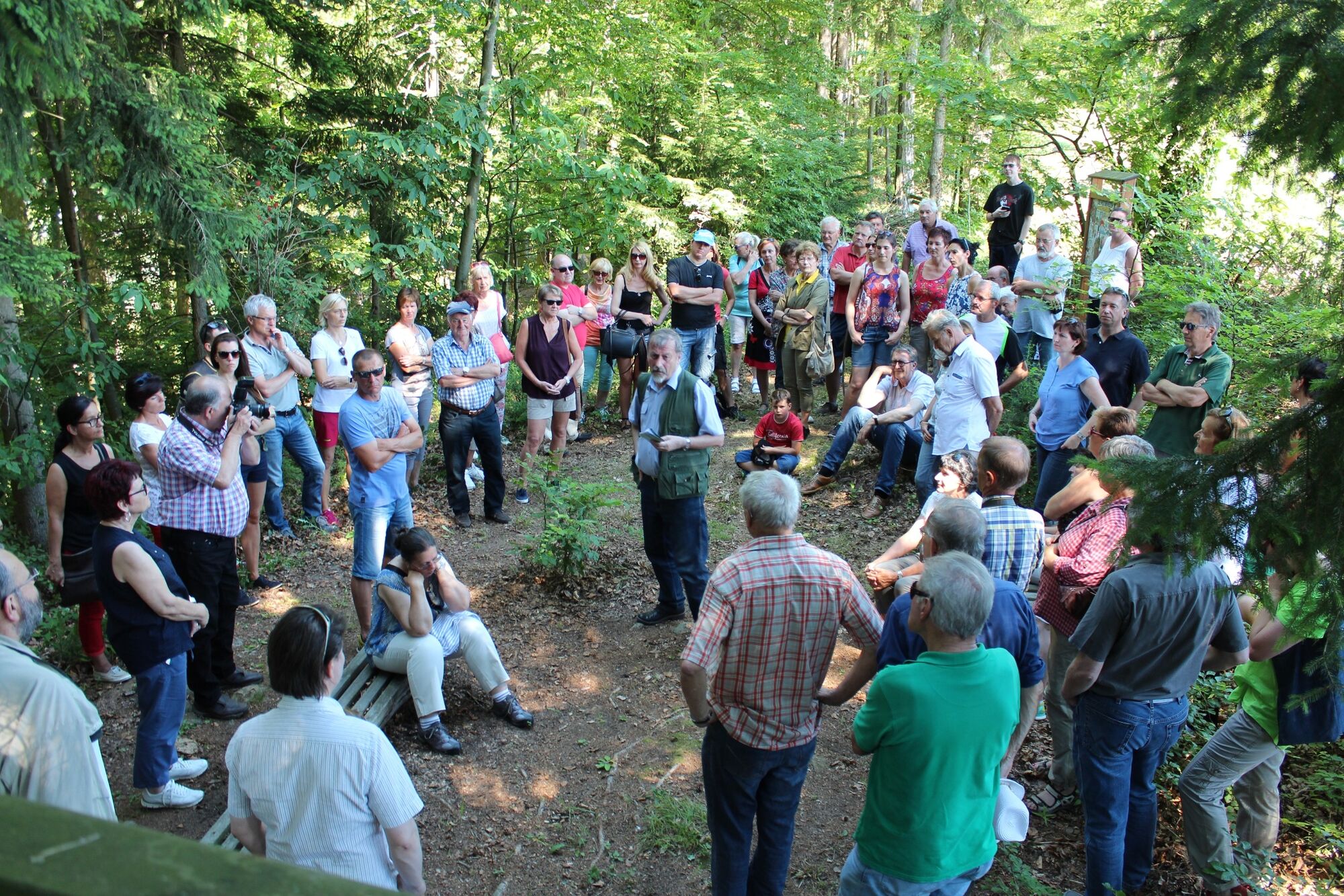
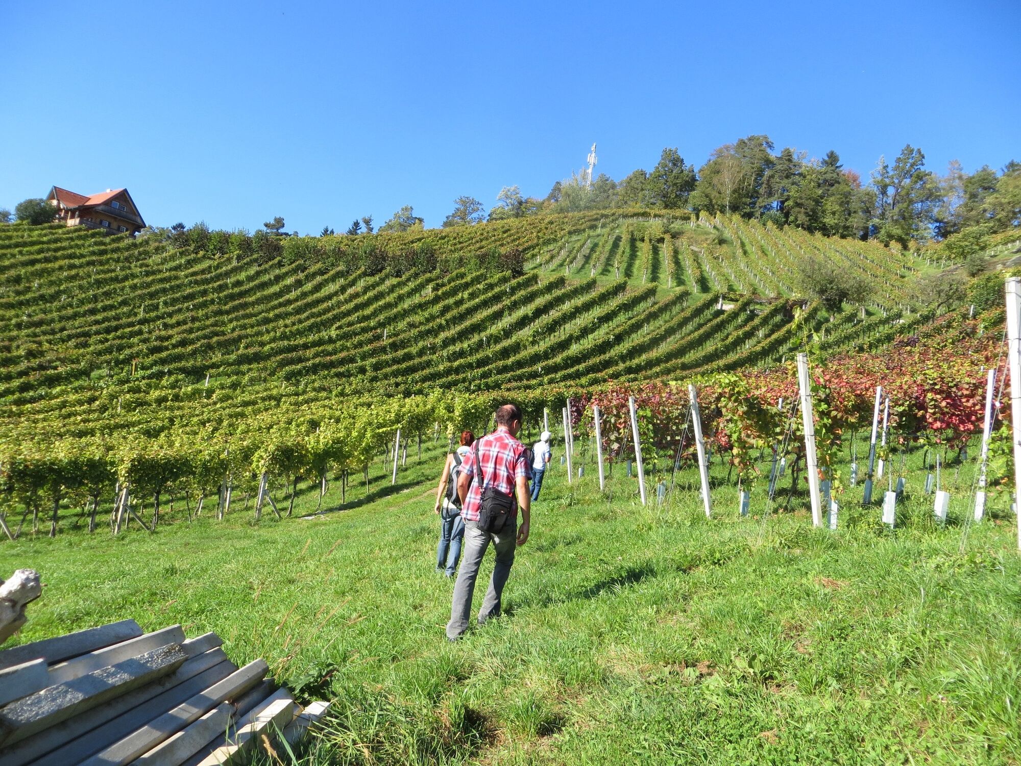
The Ligist Celtic trails lead us from the Ligist market square up the Dietenberg to the excavations from the Celtic period. Information boards about the Celts and the Celtic hilltop settlement bring us closer to the Bronze Age.
- Obtížnost
-
střední
- Hodnocení
-
- Trasa
-
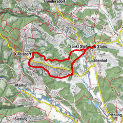
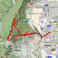
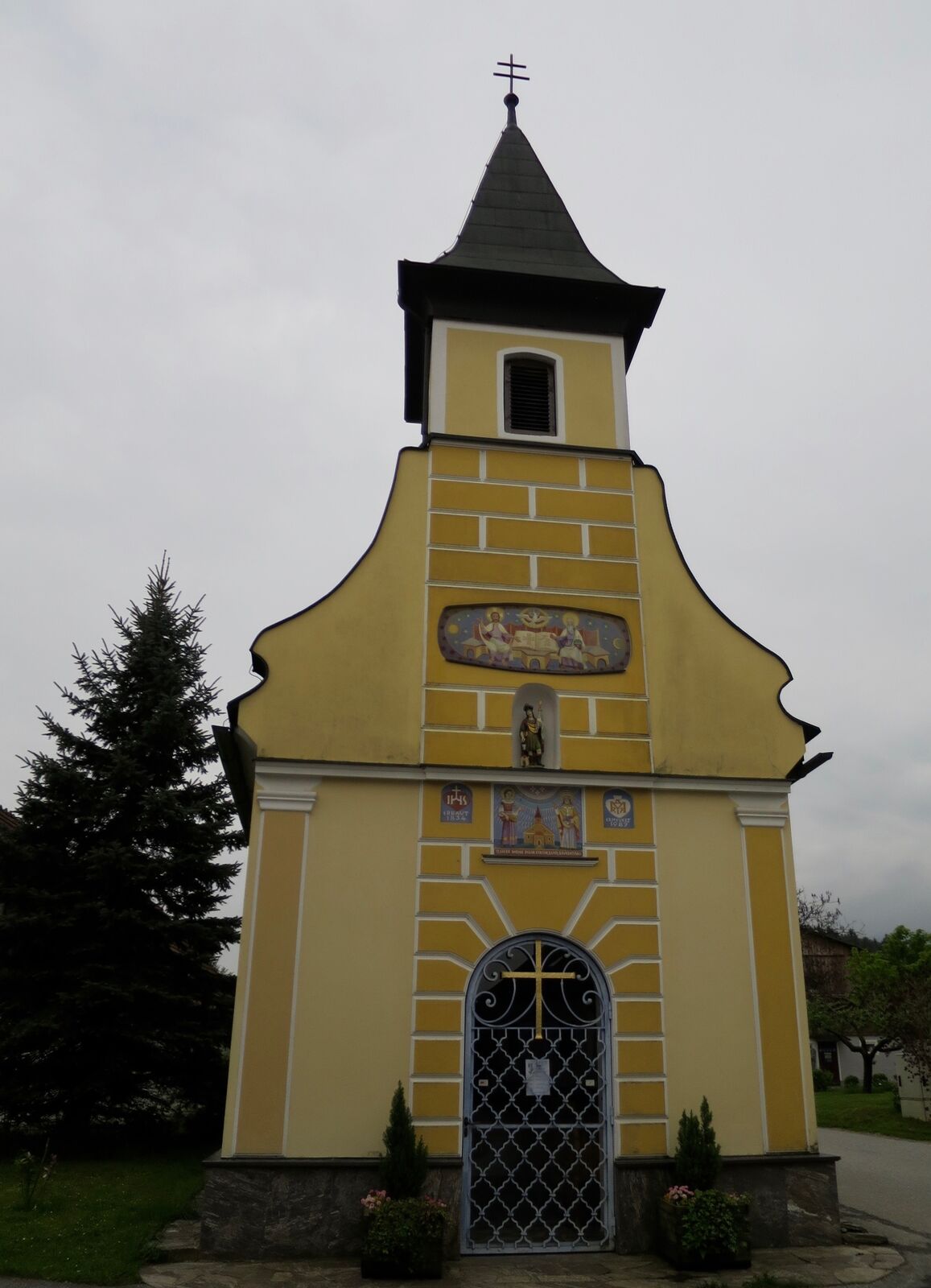
Pfarrkirche hl. KatharinaLigist0,1 kmBuschenschank Kremser-Greitbauer2,2 kmDietenberg2,8 kmSchilcherhof3,0 kmGrabenwarth4,8 kmPfarrkirche hl. Katharina8,7 kmLigist8,7 km
- Nejlepší sezóna
-
ledúnobředubkvěčenčecsrpzářříjlispro
- Nejvyšší bod
- 504 m
- Cílová destinace
-
Marketplace Ligist
- Výškový profil
-


-

-
AutorProhlídka Celtic path používá outdooractive.com na adrese ..
GPS Downloads


Obecné informace
Zastávka s občerstvením
Kulturní/Historické stránky
Slibný
Další výlety v regionech