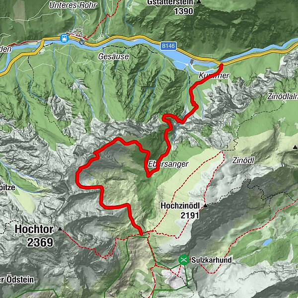
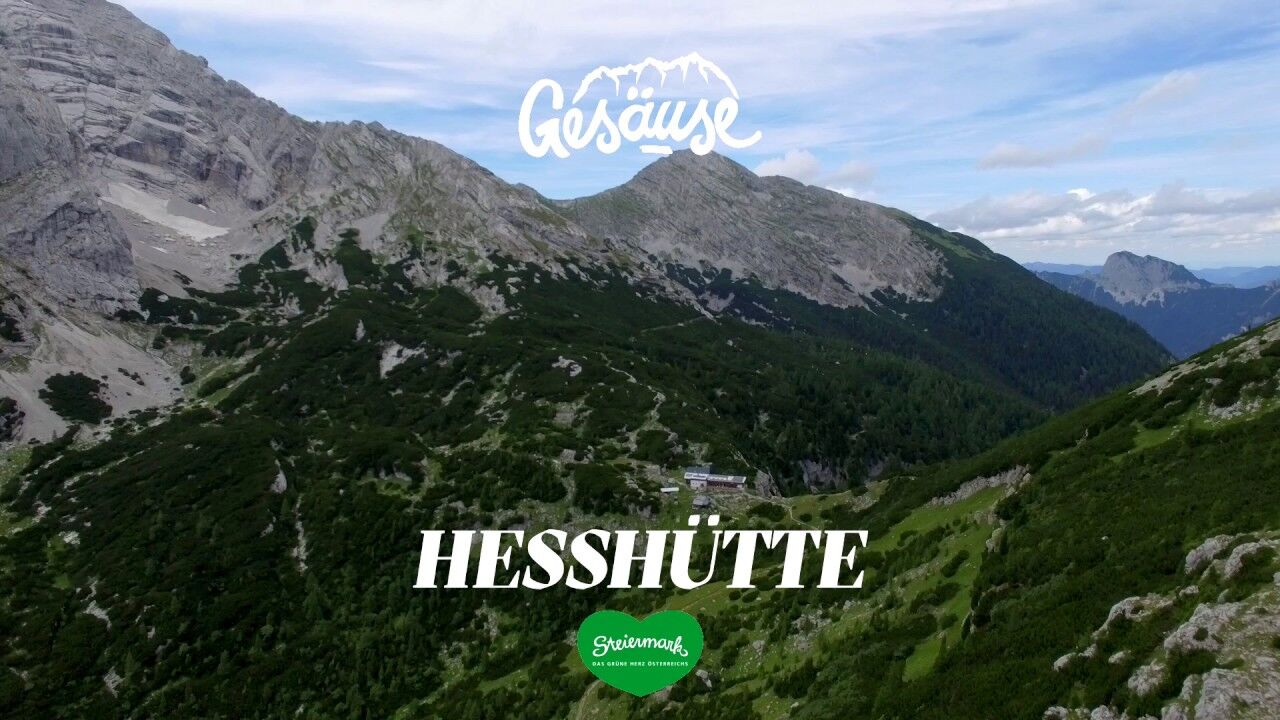
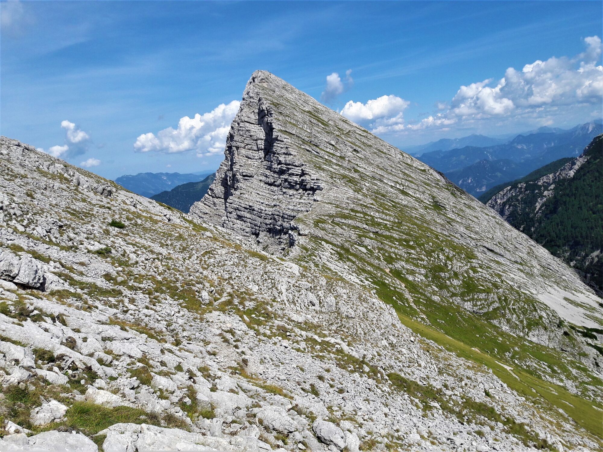
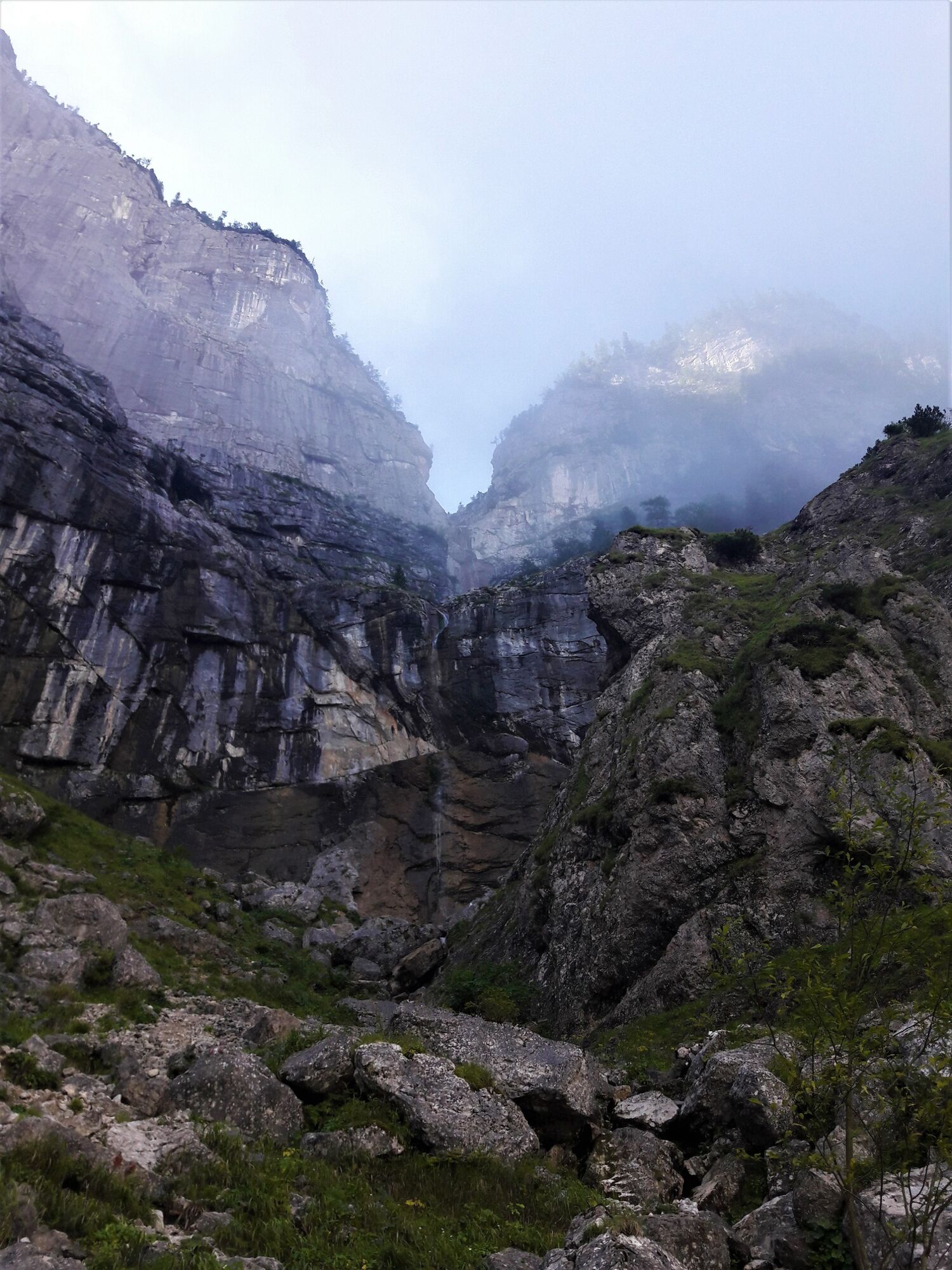
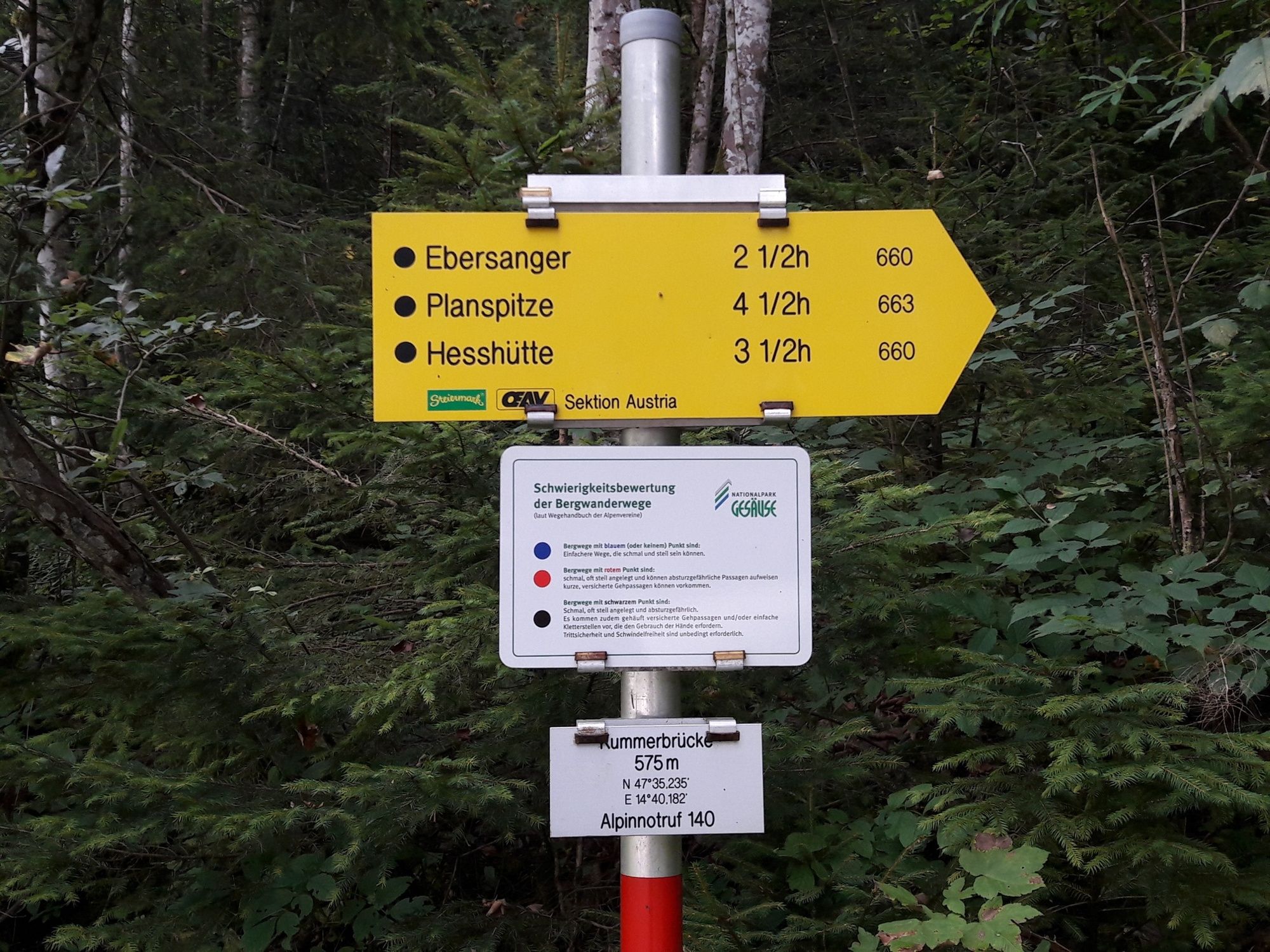
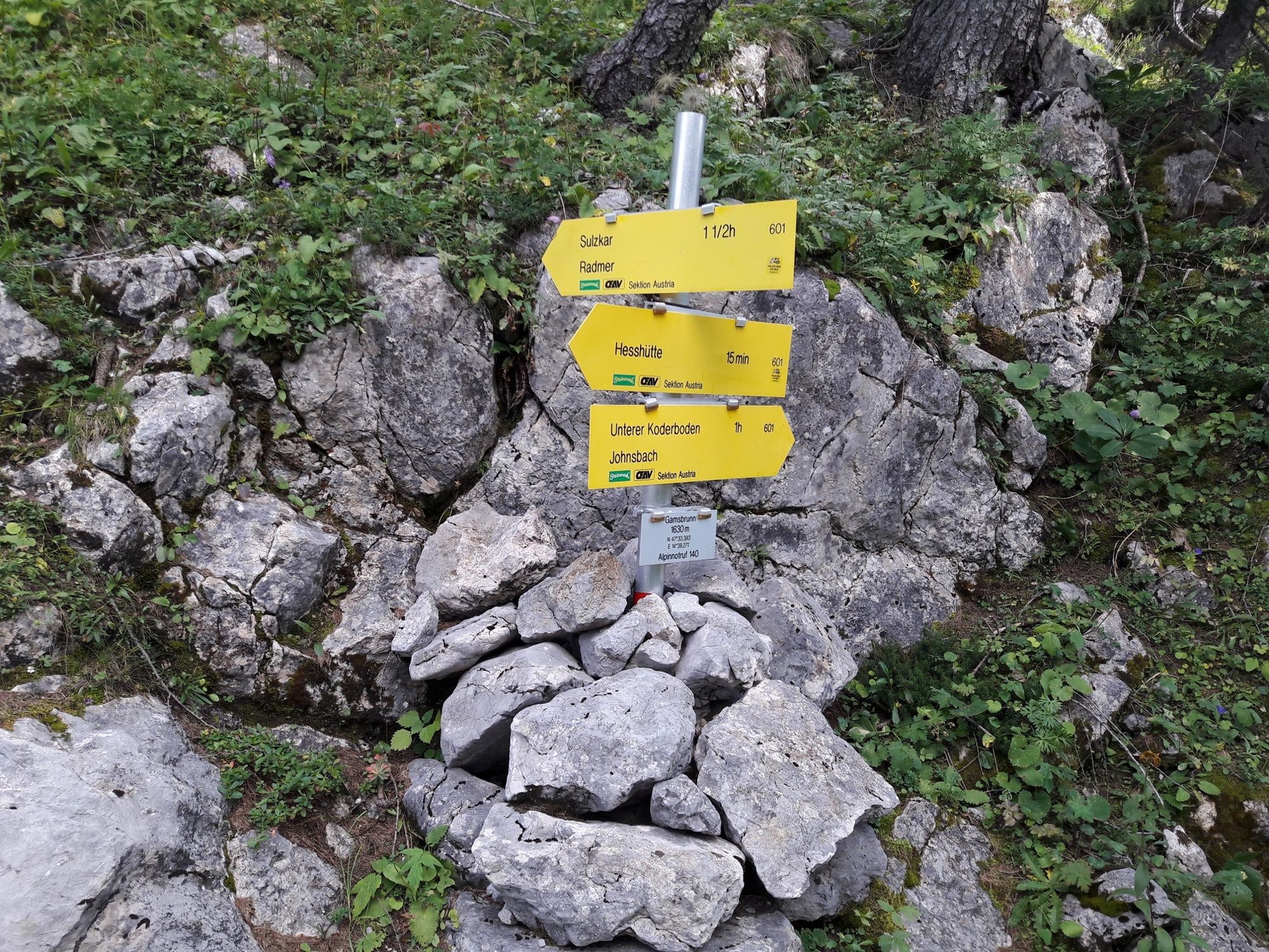
Via the waterfall path and the Planspitze to the Hesshütte

Turistika

© TV Gesäuse - Tourismusverband Gesäuse

© Gesäuse - Admont

© Tourismusverband Gesäuse

© TV Gesäuse - Tourismusverband Gesäuse

© TV Gesäuse - Tourismusverband Gesäuse

© TV Gesäuse - Tourismusverband Gesäuse

© TV Gesäuse - Tourismusverband Gesäuse

© TV Gesäuse - Tourismusverband Gesäuse

- Stručný popis
-
Via the Klettsteig passages of the waterfall path and the Kölblplan you cross the Planspitze. On the descent the path leads to the famous Heßhütt
- Obtížnost
-
těžké
- Hodnocení
-
- Trasa
-
Planspitze (2.114 m)2,7 km
- Nejlepší sezóna
-
ledúnobředubkvěčenčecsrpzářříjlispro
- Nejvyšší bod
- 2.089 m
- Cílová destinace
-
Heßhütte - 1.699 m
- Výškový profil
-


-

-
AutorProhlídka Via the waterfall path and the Planspitze to the Hesshütte používá outdooractive.com na adrese ..
GPS Downloads


Obecné informace
Zastávka s občerstvením
Slibný
Další výlety v regionech
-
Gesäuse
2225
-
Steyr und die Nationalpark Region
1371
-
Radmer
240
 & Kaiserschild (rechts)")


")
