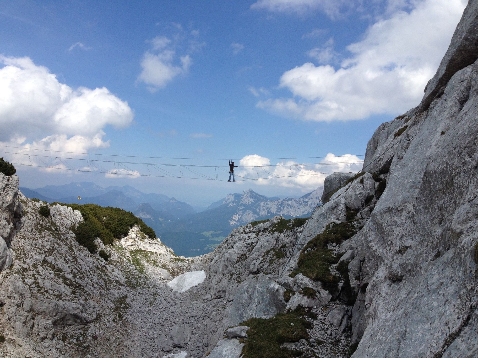
Hike from the Loferer Hochtal to the Schmidt-Zabierow-Hütte (1966m)

Turistika
© Salzburger Saalachtal Tourismus - Andrea Posch
© Salzburger Saalachtal Tourismus - Maximilian Nikelski
© Salzburger Saalachtal Tourismus - Andrea Posch
© Salzburger Saalachtal Tourismus - Andrea Posch
- Stručný popis
-
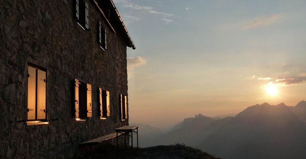
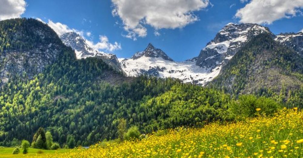
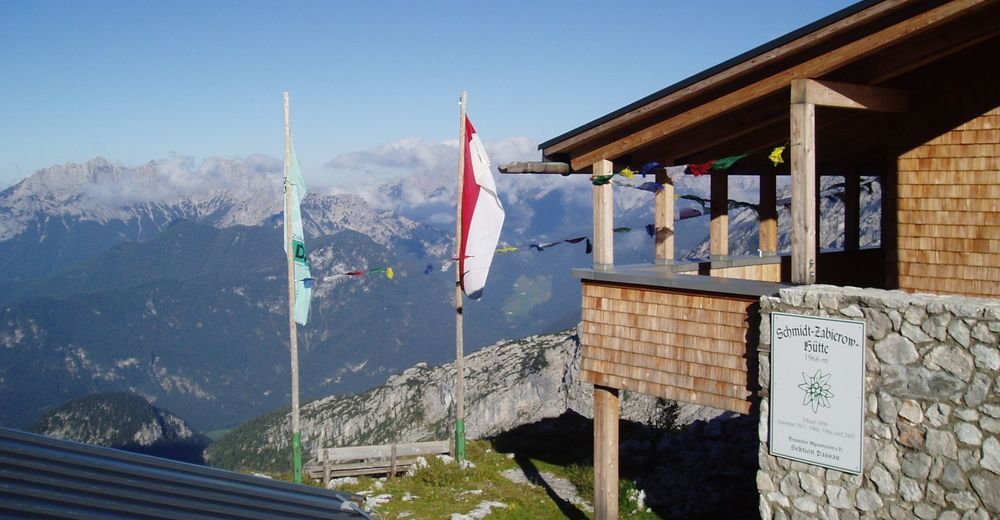
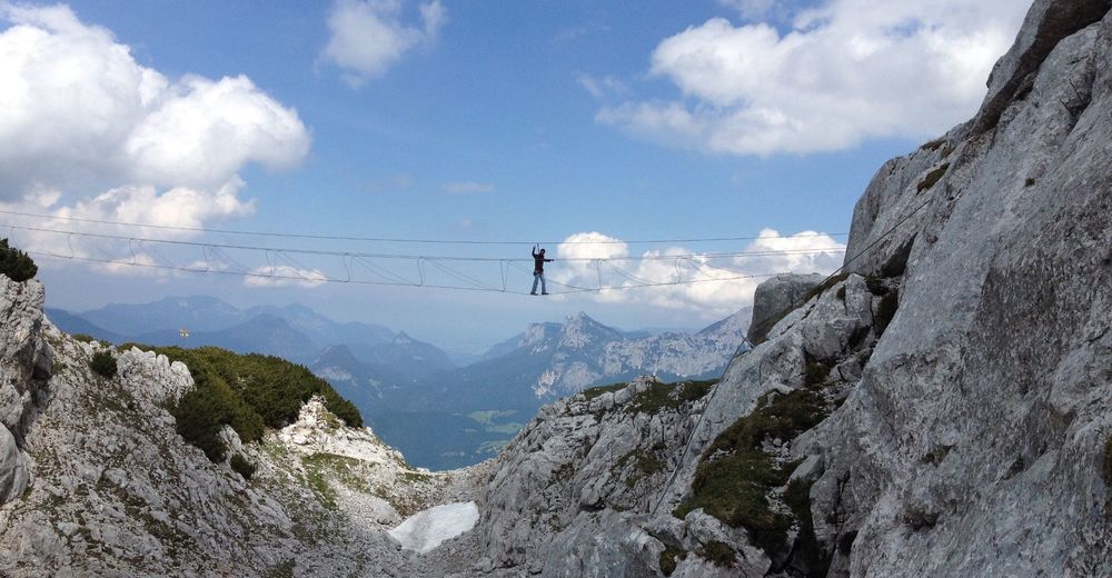
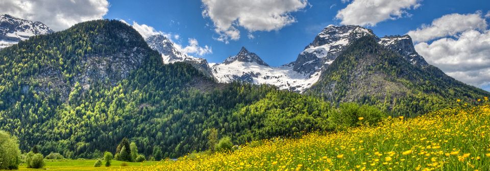
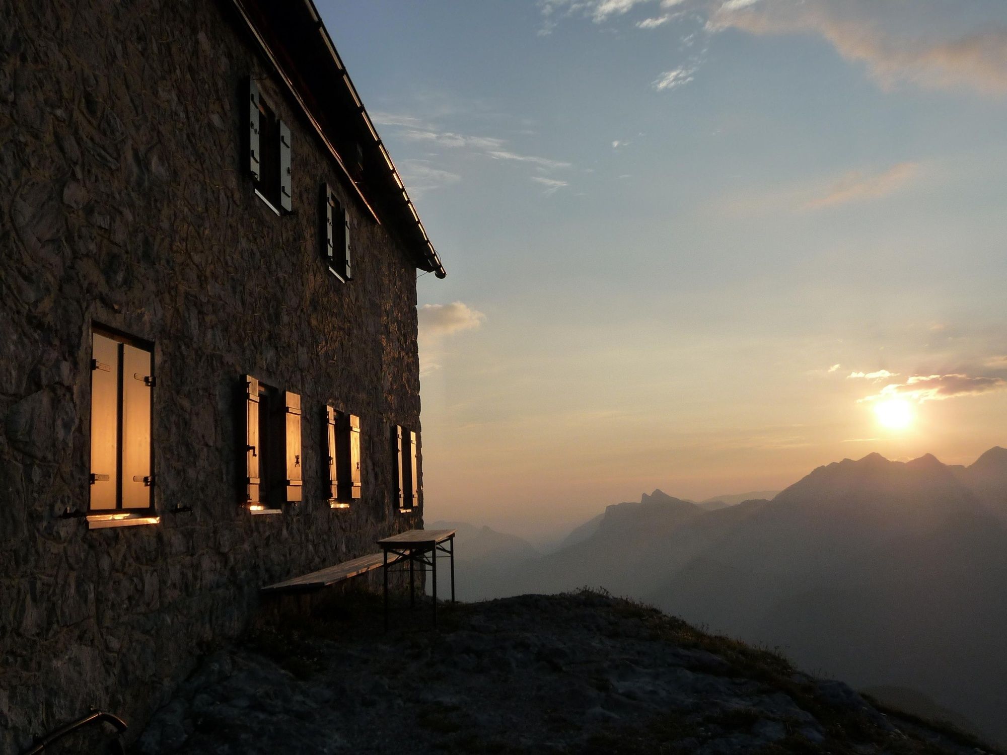
A scenic and challenging hike from Lofer in Salzburger Saalachtal Valley to the Schmidt-Zabierow Hut in the Loferer Steinberge mountains.
- Obtížnost
-
střední
- Hodnocení
-
- Trasa
-
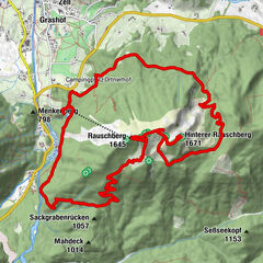
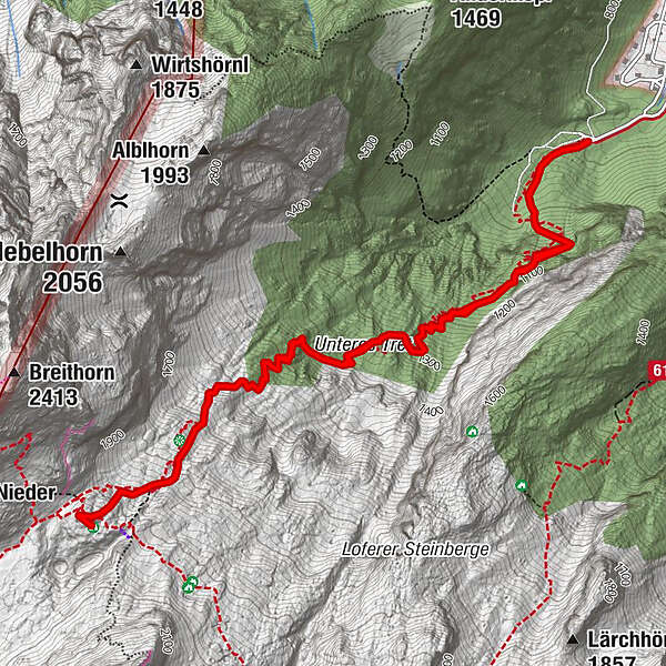
Erstes Wasser1,0 kmZweites Wasser1,9 kmKapplhöhle2,9 kmSchmidt-Zabierow Hütte3,7 kmNamenloses Loch3,8 kmWalter-Schweitzer-Biwak3,9 kmZweites Wasser5,7 kmErstes Wasser6,5 km
- Nejlepší sezóna
-
ledúnobředubkvěčenčecsrpzářříjlispro
- Nejvyšší bod
- 1.952 m
- Cílová destinace
-
Loferer Hochtal
- Výškový profil
-


-

-
AutorProhlídka Hike from the Loferer Hochtal to the Schmidt-Zabierow-Hütte (1966m) používá outdooractive.com na adrese ..
GPS Downloads


Obecné informace
Zastávka s občerstvením
Kulturní/Historické stránky
Slibný
Další výlety v regionech