

- Stručný popis
-
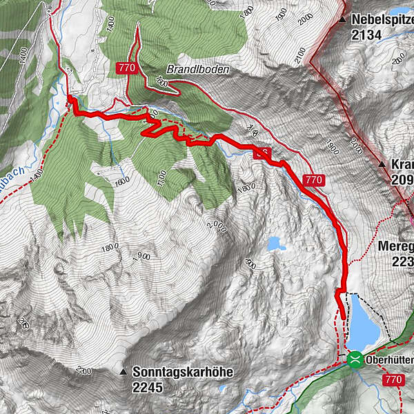
We reach the Vögeilalm by turning off the Ennstal road in Pichl, following signs for Forstau and driving through Forstau Valley until we reach its remotest corner, the Vögeialm.
- Obtížnost
-
snadno
- Hodnocení
-
- Trasa
-
Vögeialm0,0 kmOberhütte2,8 kmOberhütte am See2,9 km
- Nejlepší sezóna
-
ledúnobředubkvěčenčecsrpzářříjlispro
- Nejvyšší bod
- 1.868 m
- Cílová destinace
-
Oberhüttensee
- Výškový profil
-


- Autor
-
Prohlídka From the Vögeialm to the Oberhüttensee používá outdooractive.com na adrese ..
GPS Downloads


Obecné informace
Zastávka s občerstvením
Flora
Fauna
Další výlety v regionech
-
Schladming - Dachstein
3000
-
Obertauern
1642
-
Untertauern
505


