


HOHE TAUERN PANORAMA TRAIL | ET11: Thumersbach Höhenpromenade | Zell am See–Bruck a. d. Großglocknerstraße
Fotografie našich uživatelů
-
 © Hubert SellnarVytvořeno dne 01.12.2022
 -
 © Franz hoferVytvořeno dne 08.02.2026
 -
 © Franz hoferVytvořeno dne 08.02.2026
 -
 © Franz hoferVytvořeno dne 08.02.2026
 -

 © Greta vandenholtVytvořeno dne 03.11.2025
 -
 © SarahVytvořeno dne 07.09.2025
 -
 © SarahVytvořeno dne 07.09.2025
 -
 © SarahVytvořeno dne 07.09.2025
 -
 © SarahVytvořeno dne 07.09.2025
 -
 © SarahVytvořeno dne 07.09.2025
 -
 © SarahVytvořeno dne 07.09.2025
 -
 © SarahVytvořeno dne 07.09.2025
 -
 © Rob RommelseVytvořeno dne 08.08.2025
 -
 © Rob RommelseVytvořeno dne 08.08.2025
 -
 © Rob RommelseVytvořeno dne 08.08.2025
 -

 © Jürgen SpitzkopfVytvořeno dne 15.04.2025
 -
 © Jürgen SpitzkopfVytvořeno dne 15.04.2025
 -
 © CatZVytvořeno dne 04.04.2025
 -
 © CatZVytvořeno dne 04.04.2025
 -
 © CatZVytvořeno dne 04.04.2025
 -
 © CatZVytvořeno dne 04.04.2025
 -
 © Gundega MucenieceVytvořeno dne 13.03.2025
 -
 © József Bence GálVytvořeno dne 13.01.2025
 -
 © Susanne Johansson PantzareVytvořeno dne 17.06.2024
 -
 © Susanne Johansson PantzareVytvořeno dne 17.06.2024
 -
 © Susanne Johansson PantzareVytvořeno dne 17.06.2024
 -
 © Susanne Johansson PantzareVytvořeno dne 17.06.2024
 -
 © Hubert SellnarVytvořeno dne 01.12.2022
 -
 © Hubert SellnarVytvořeno dne 01.12.2022
 -
 © Hubert SellnarVytvořeno dne 01.12.2022
 -
 © Roswitha ZeillerVytvořeno dne 18.08.2025
 -
 © Christian LeidenfrostVytvořeno dne 24.06.2025
 -
 © Christian LeidenfrostVytvořeno dne 24.06.2025
 -
 © martl122Vytvořeno dne 12.04.2025
 -
 © martl122Vytvořeno dne 12.04.2025


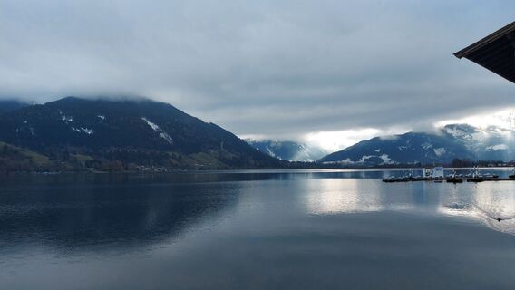
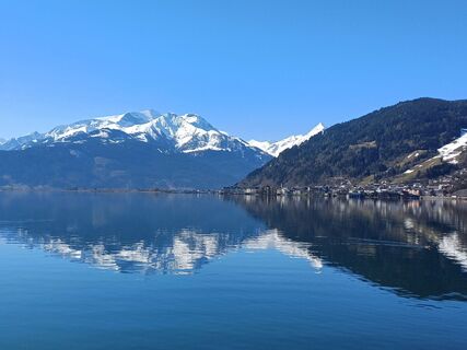
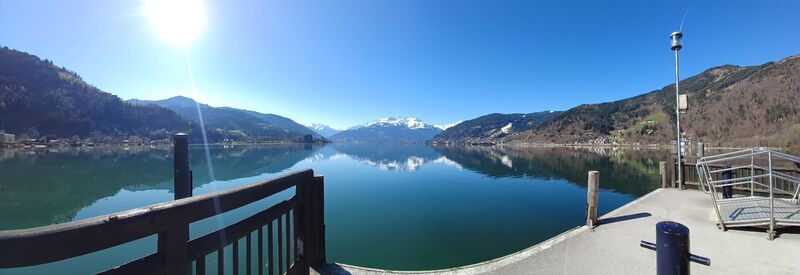
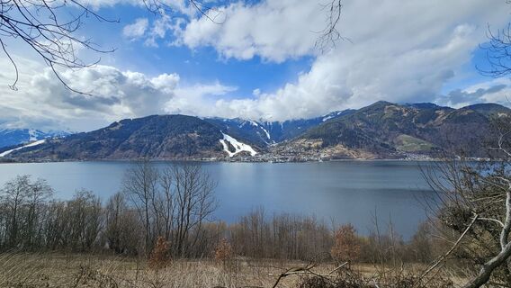
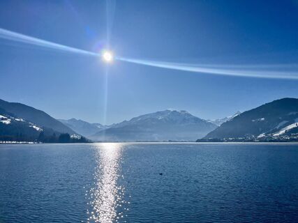
After 10 stages on the Hohe Tauern Panorama Trail, this section offers pure relaxation and balance. The moderately short hike of 3 hours walking time leaves enough time to let your soul dangle along Lake...
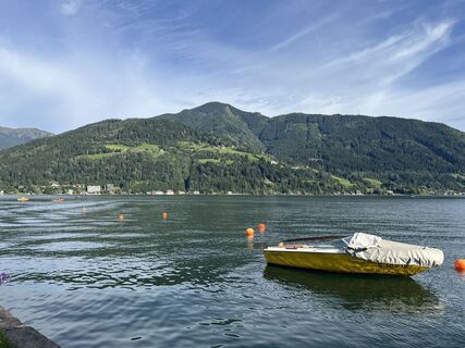
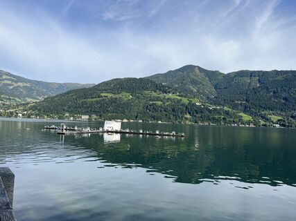
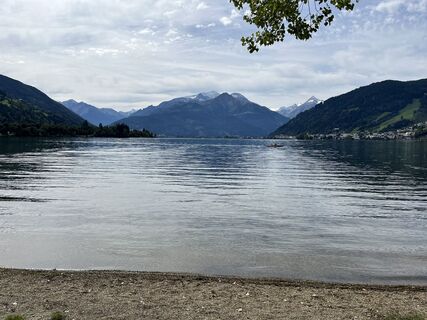
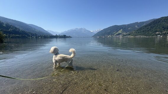
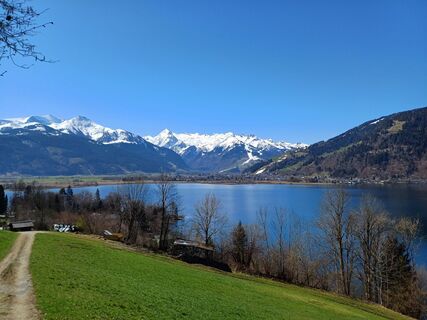
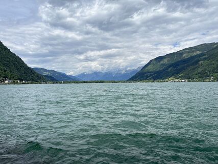
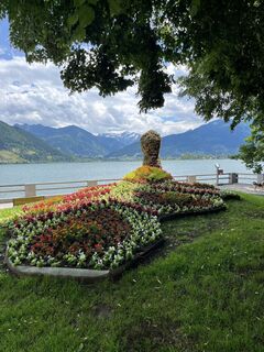
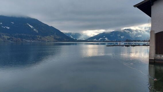
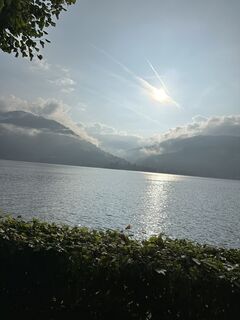
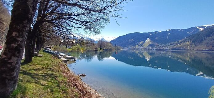
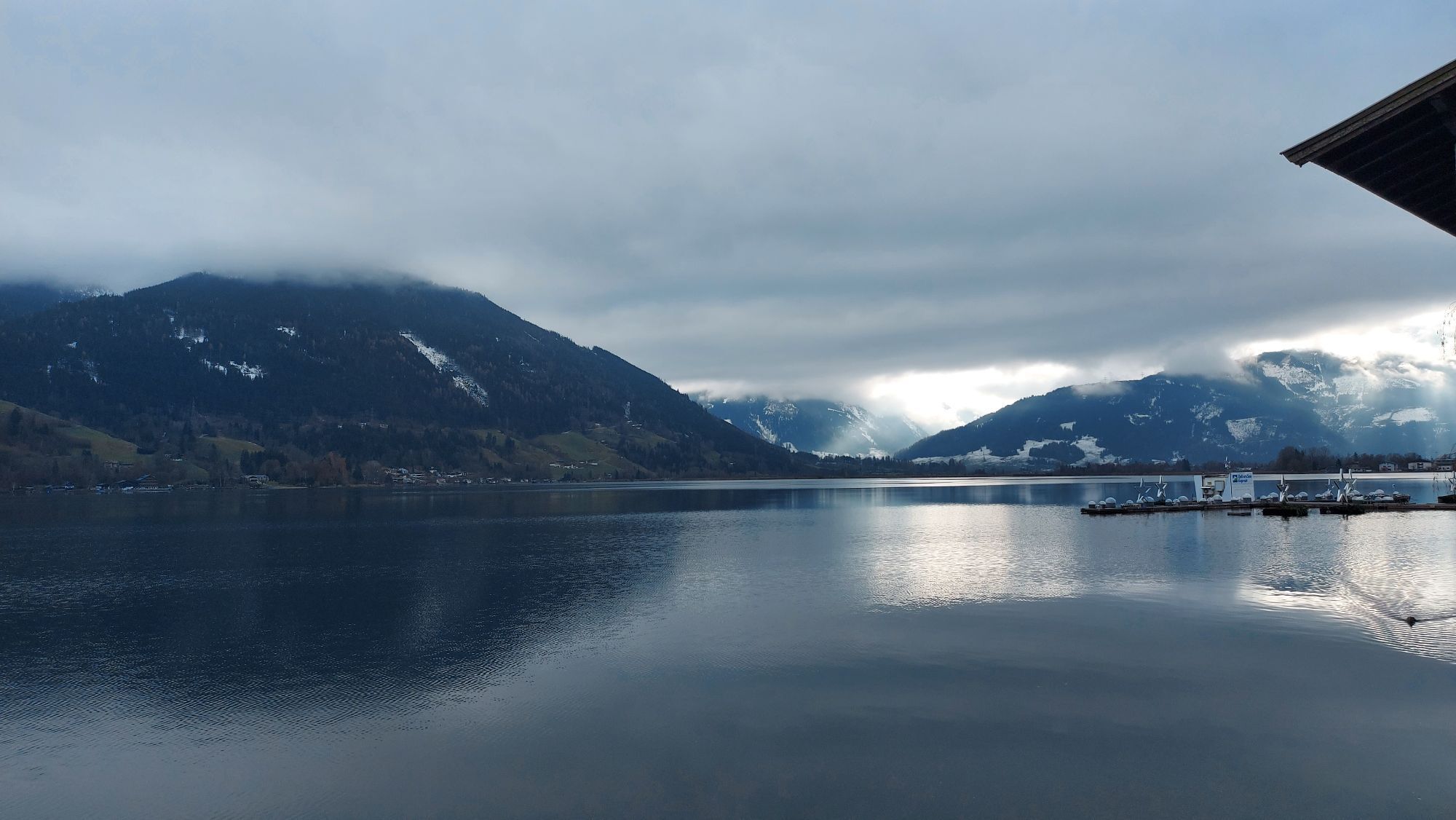
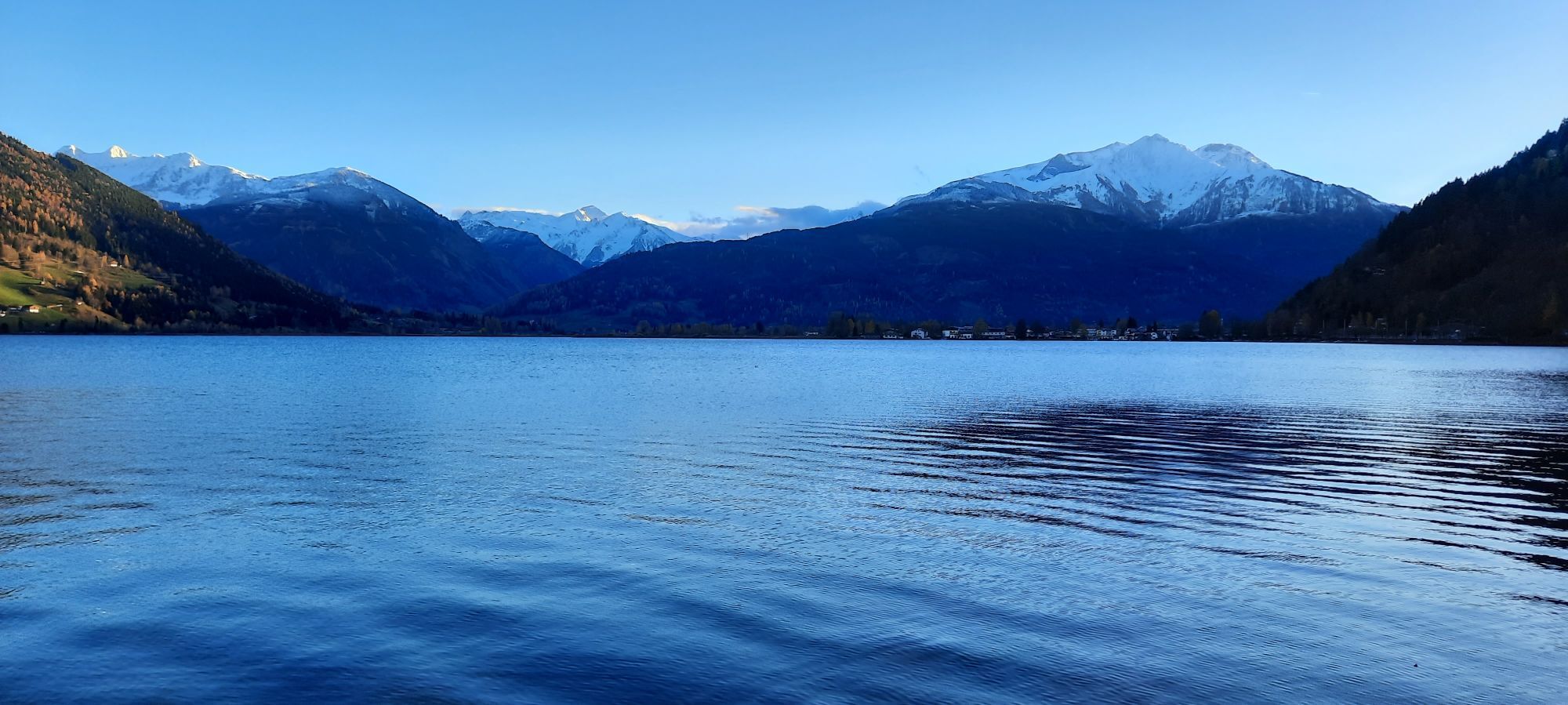
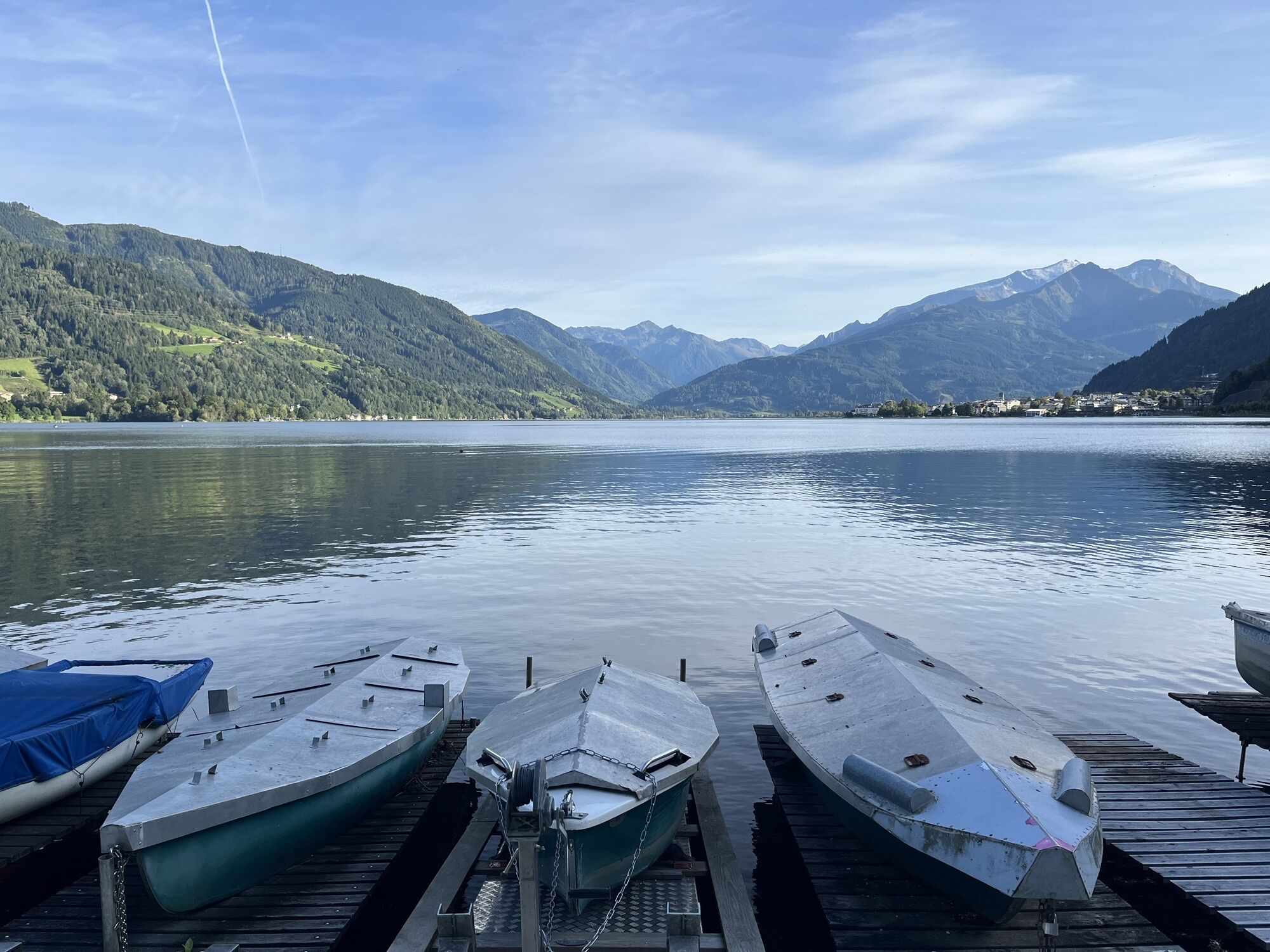
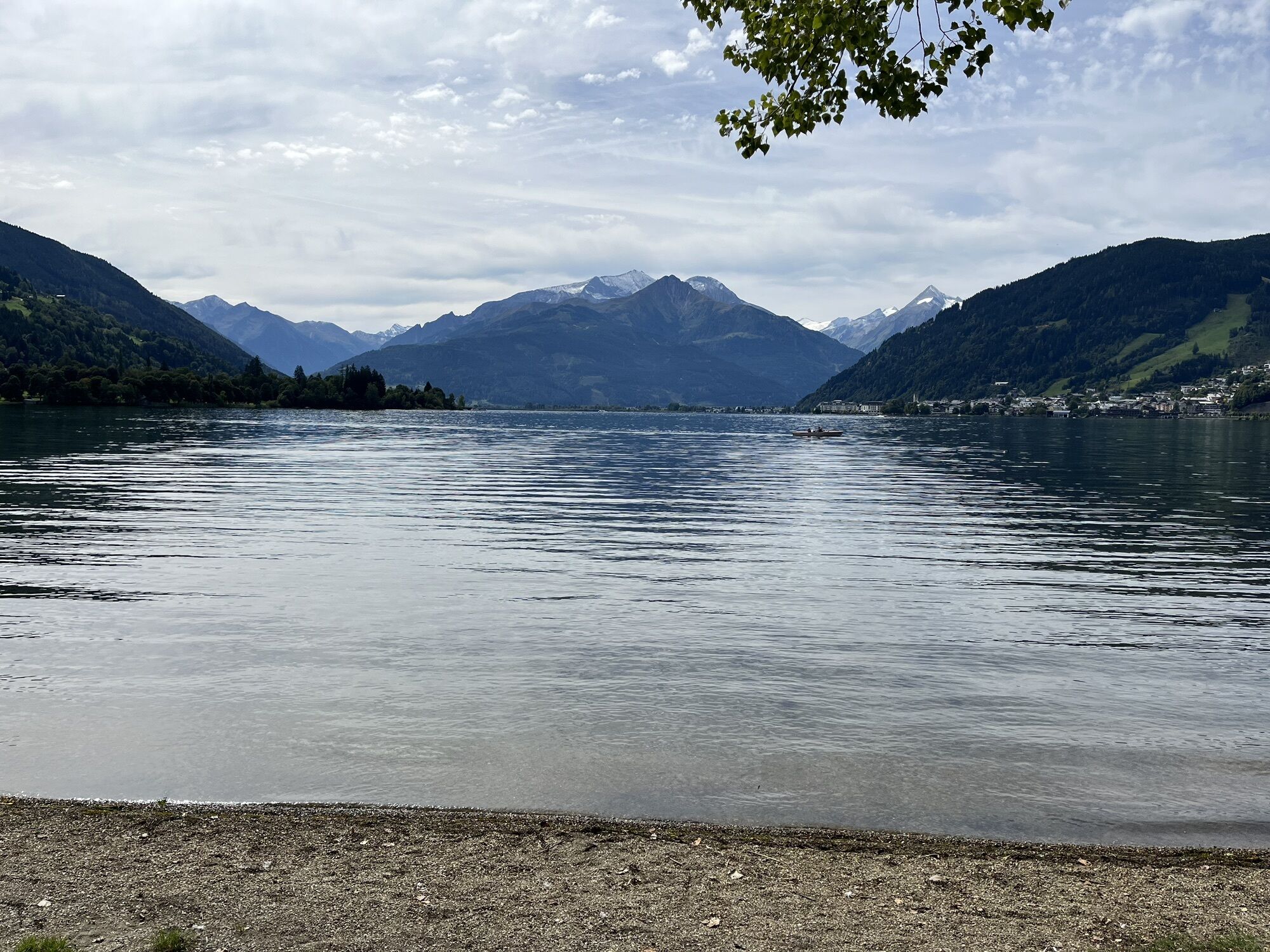
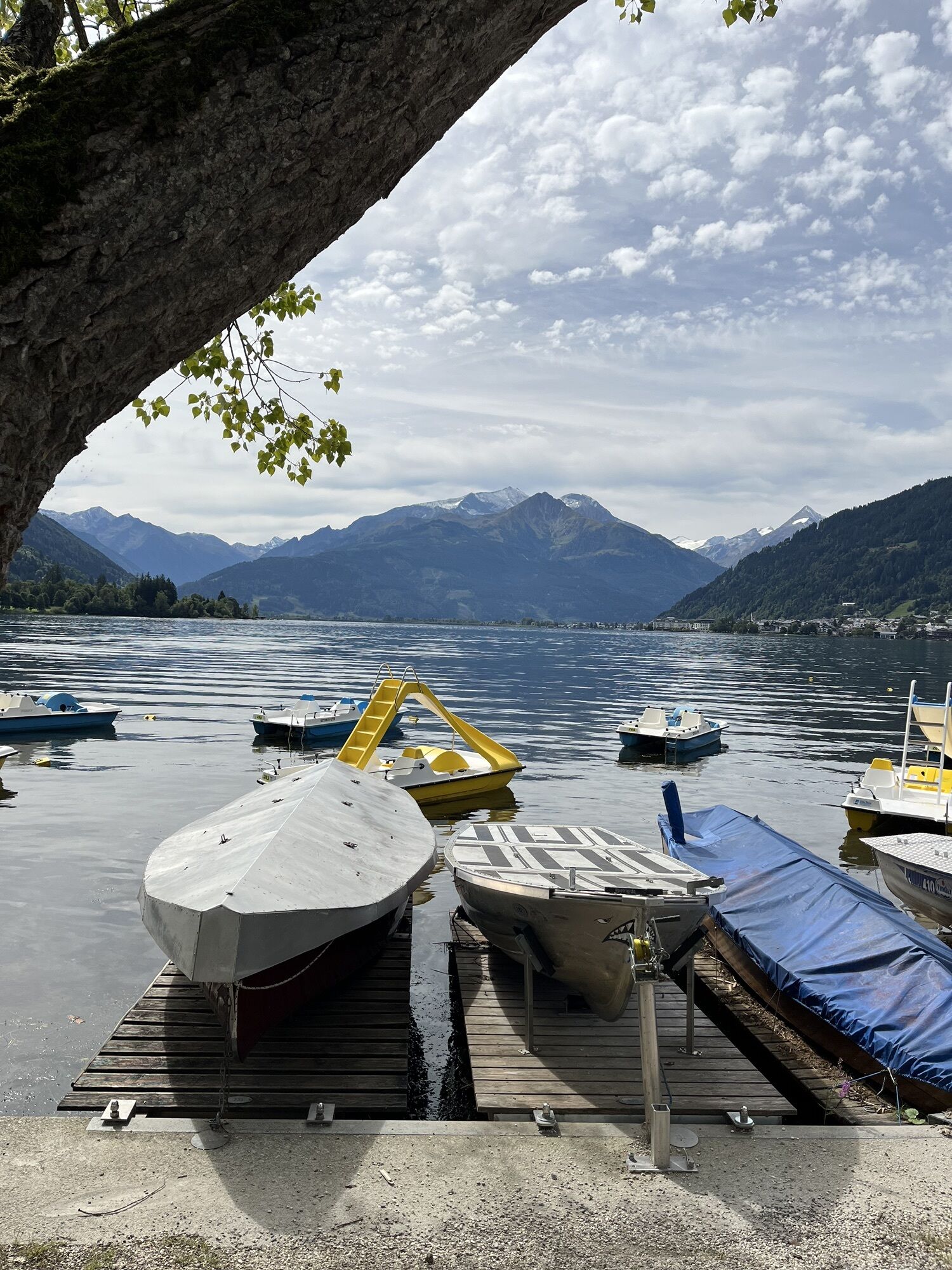
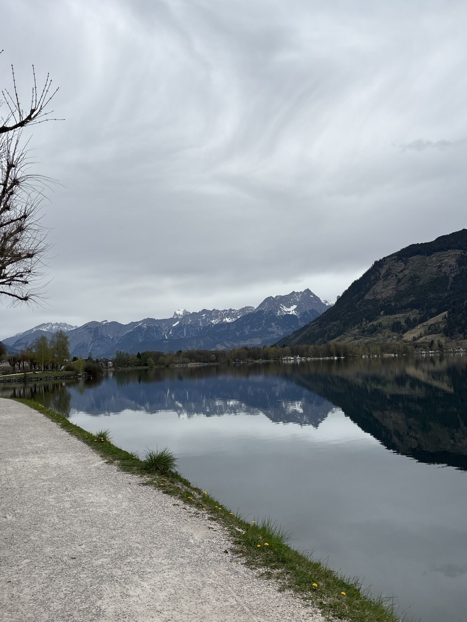
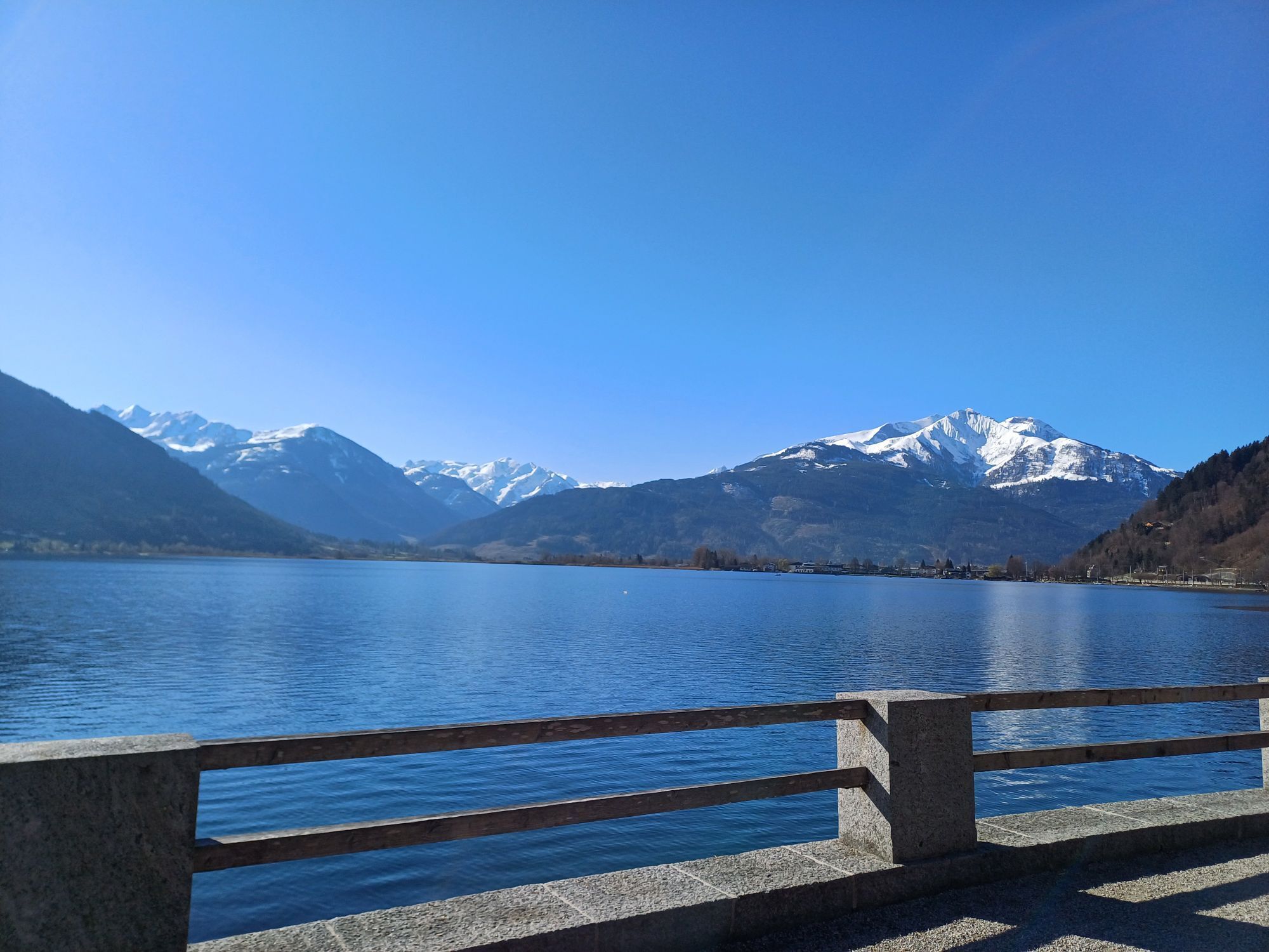
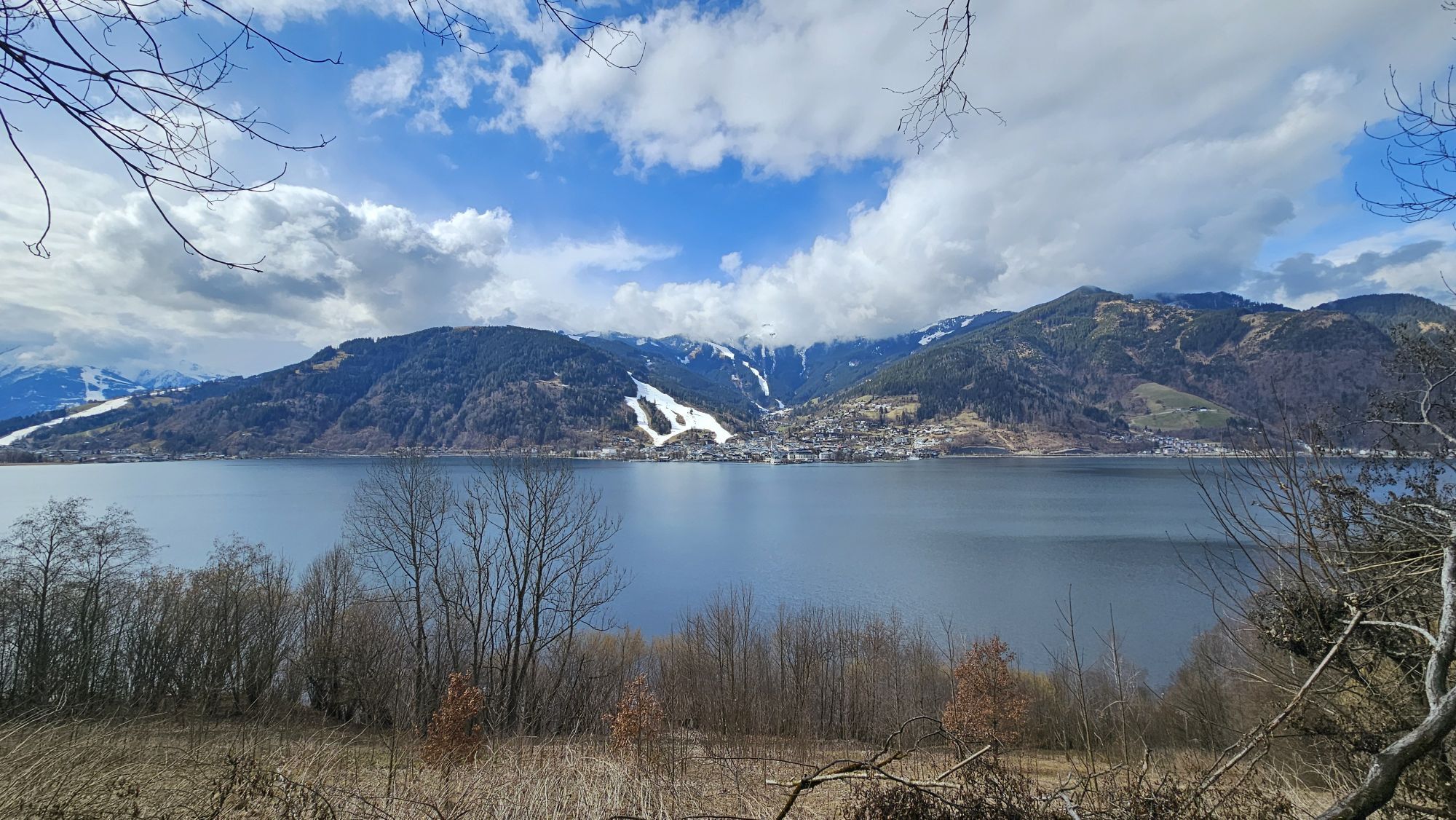
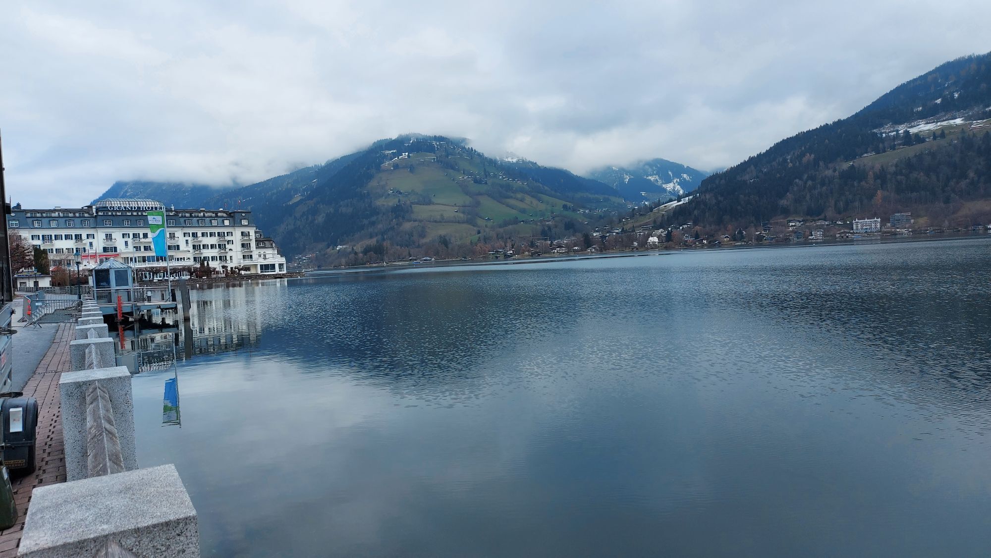
After 10 stages on the Hohe Tauern Panorama Trail, this section offers pure relaxation and balance. The moderately short hike of 3 hours walking time leaves enough time to let your soul dangle along Lake Zell via Thumersbach and the Höhenpromenade to Bruck an der Großglocknerstraße. This hike offers many temptations: breathtaking close and distant views of Lake Zell and the surrounding mountains, romantic seating spots on the shore, and beautiful reed belts. With the Thumersbach Höhenpromenade, you walk along a very well-designed themed path that describes significant personalities who have left their marks. In short: A very varied day begins, during which strength can still be gathered for the next days.


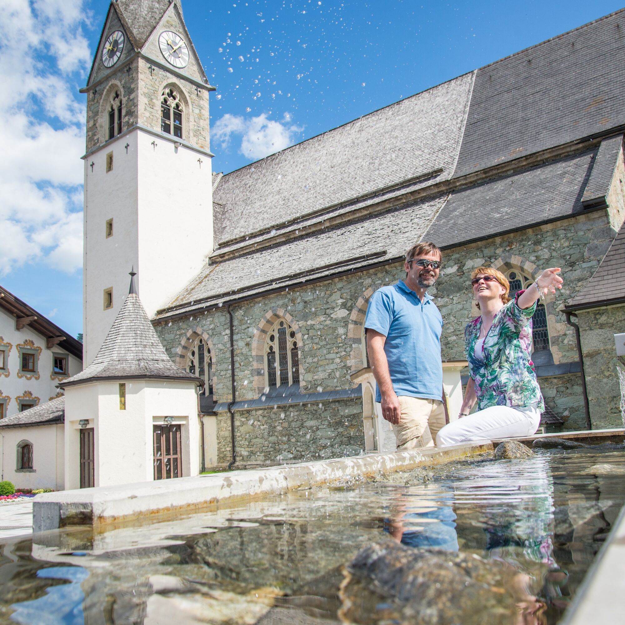
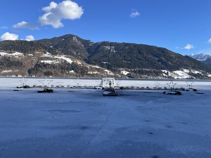
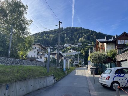
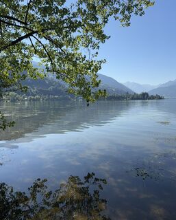
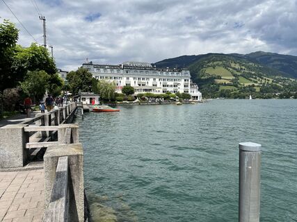
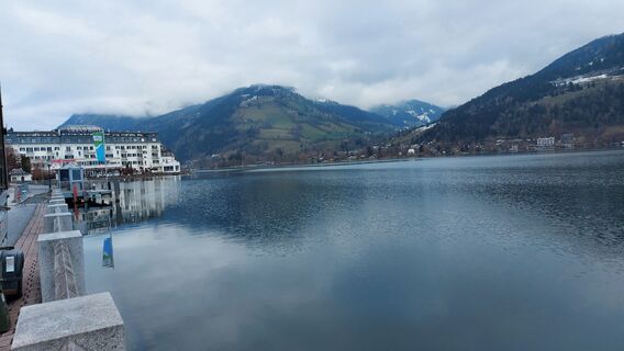
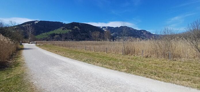
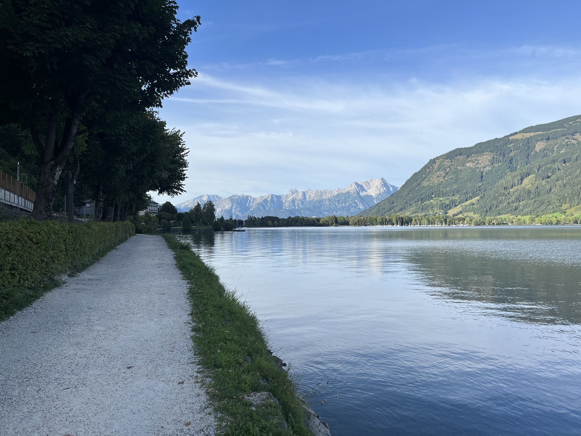
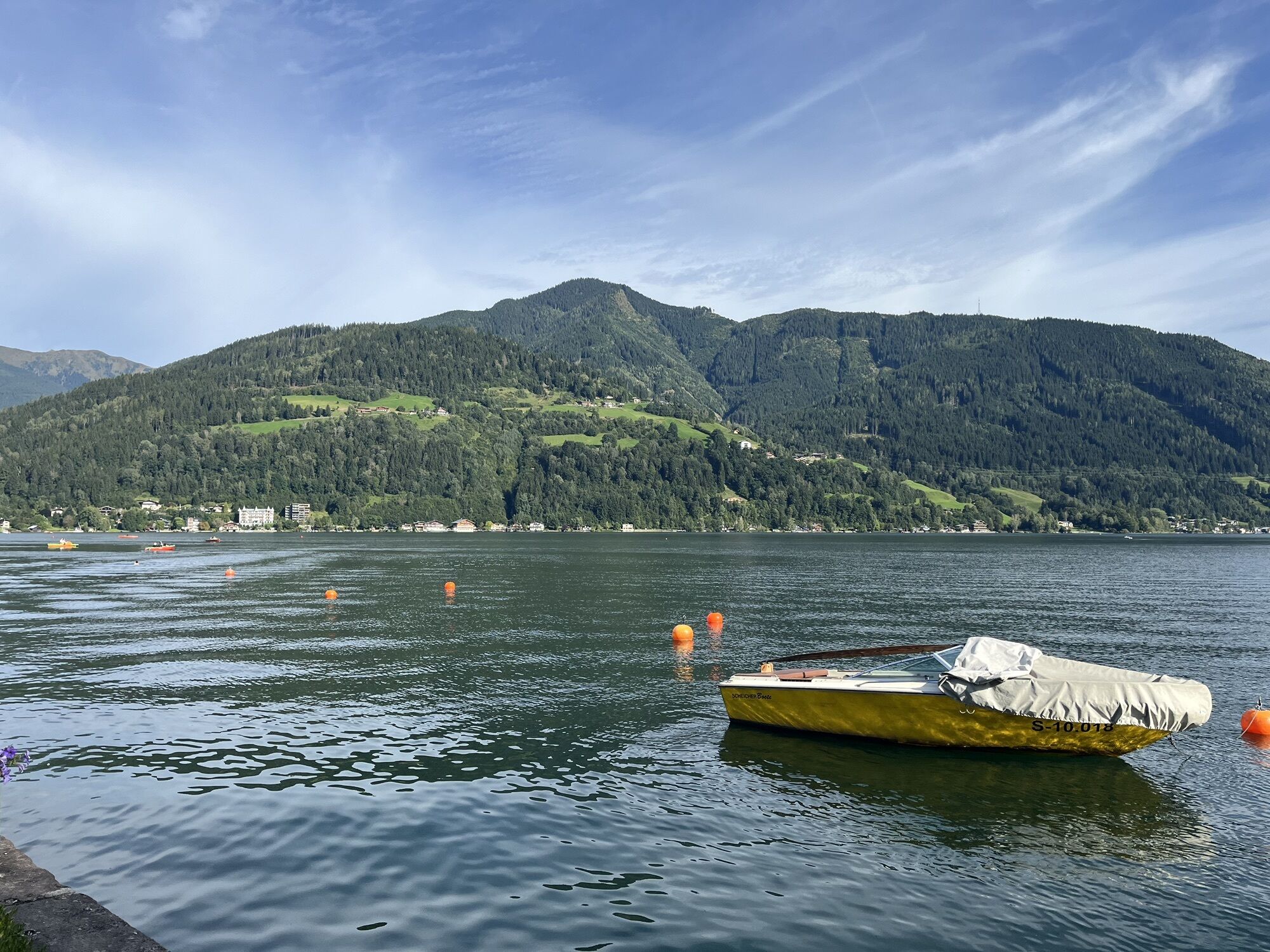
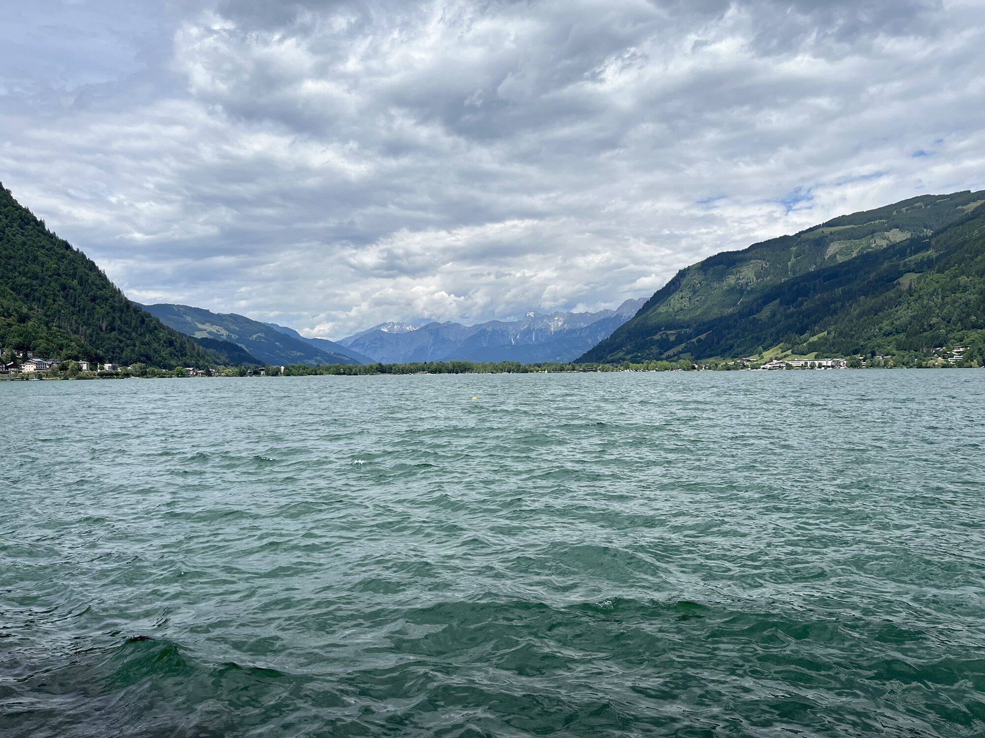
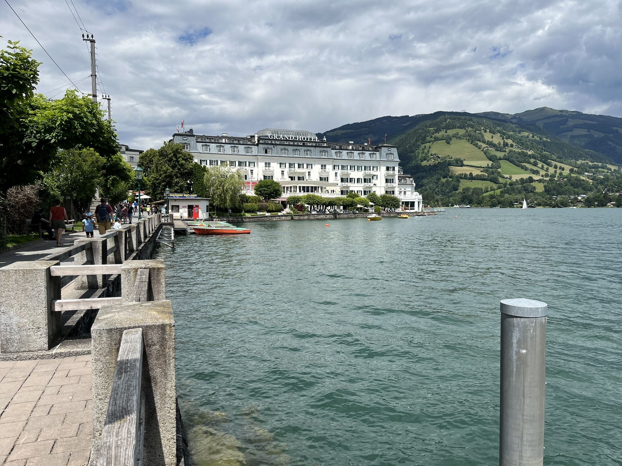
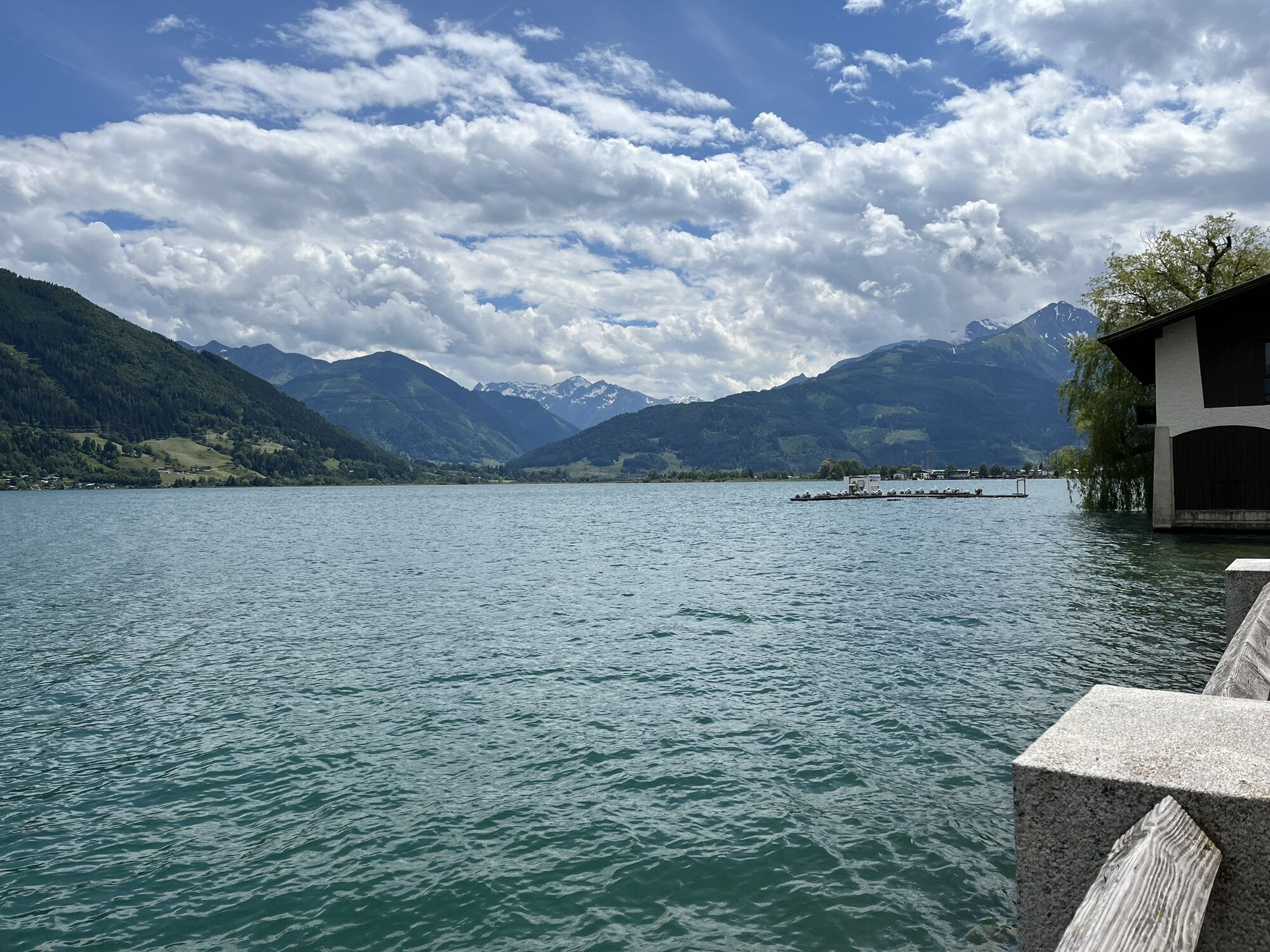
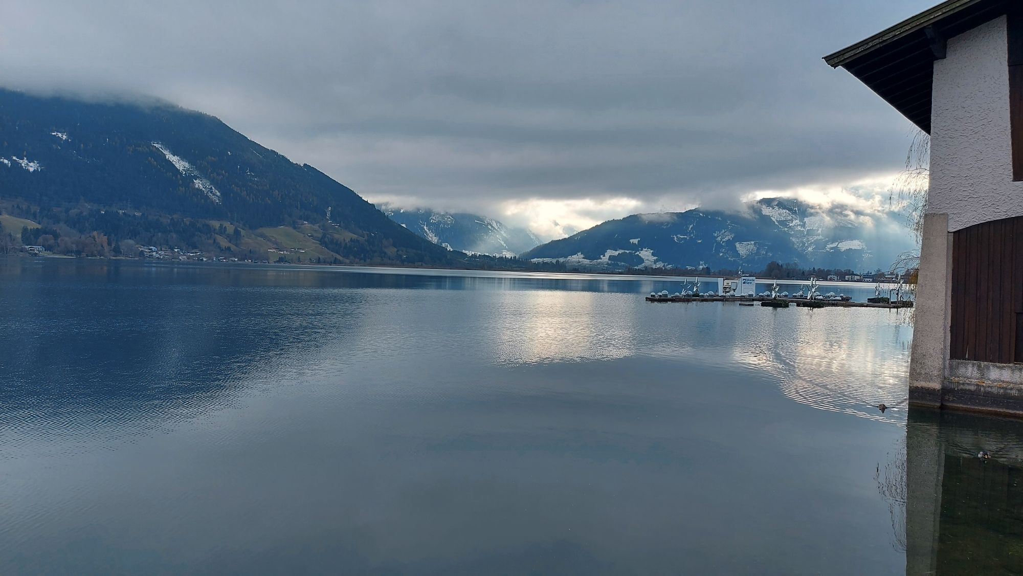
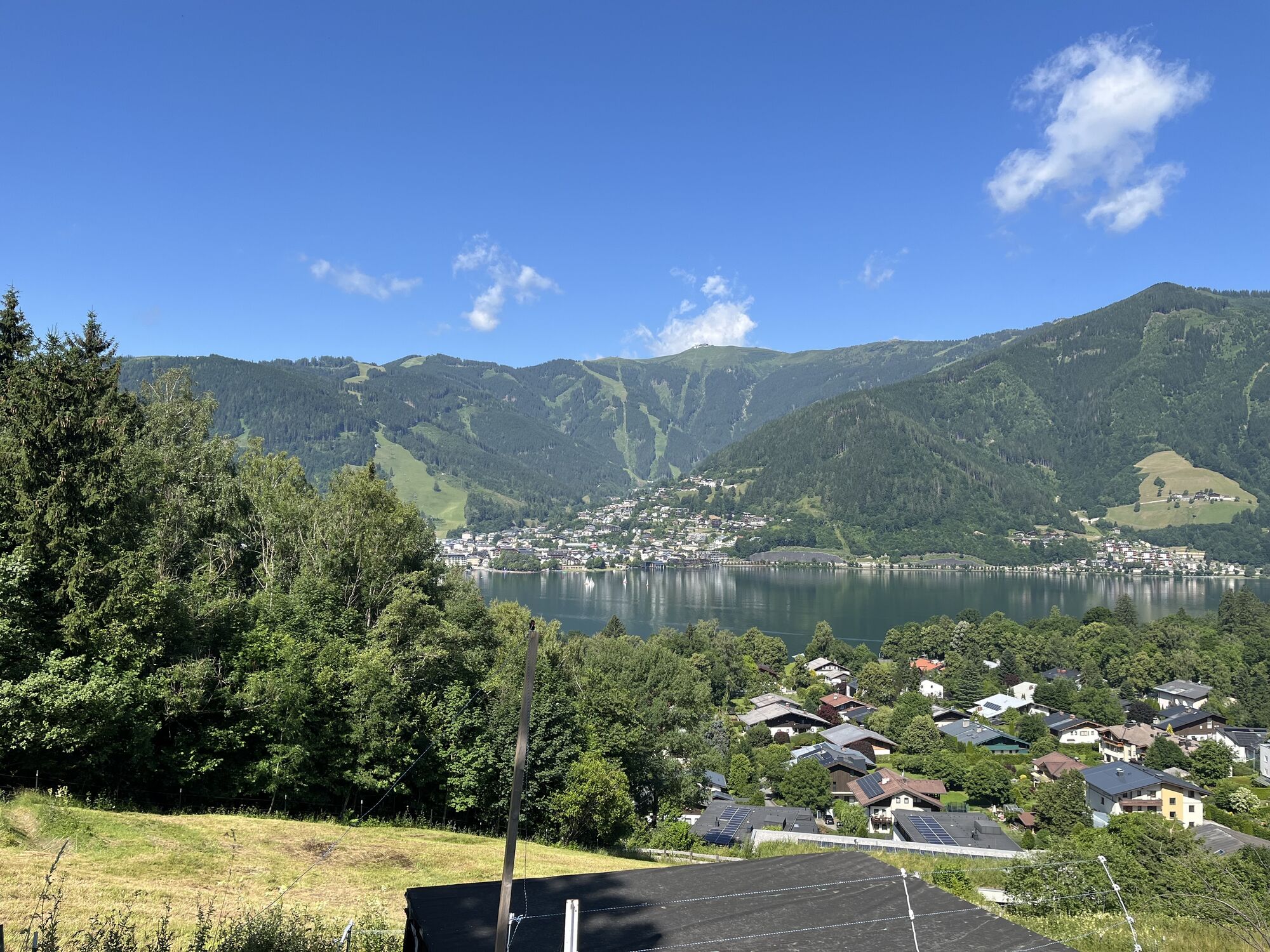
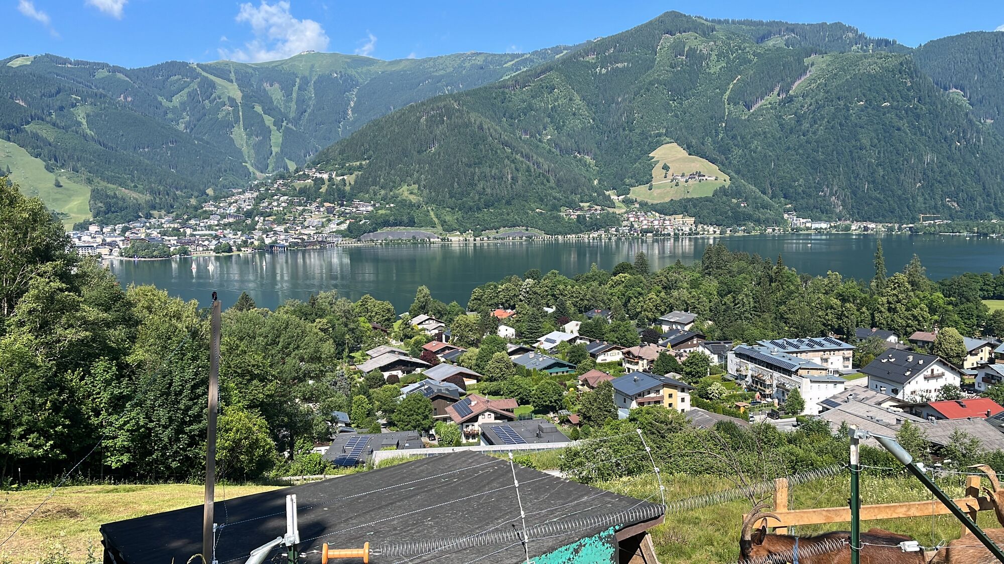
The starting point for the stage is the start/finish board of the Hohe Tauern Panorama Trail in Zell am See – more precisely in Elisabethpark directly opposite the station. First, you walk the same route as the day before along the shore of Lake Zell northwards through Elisabethpark to the famous Grand Hotel with its Hundertwasser fountain. Past the hotel, you continue along small asphalt roads along the shore to the north until at the See-Villa Freiberg the road turns into a very beautiful gravel walking path. You follow this path directly along the shore until it ends at the north shore of Lake Zell (near the hospital) and you are led left onto an asphalt road. Then you continue in the same walking direction (to the right) to Thumersbach, located directly opposite Zell am See. In Thumersbach, you should take a short detour down to the shore, because from here you walk above the lake and no longer directly on the shore, and last opportunities for a stop beckon.
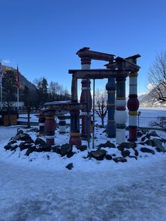
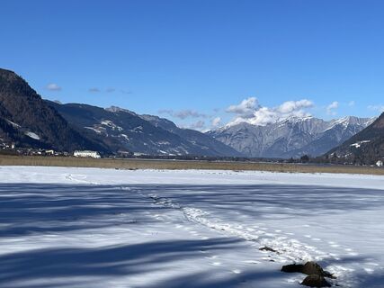
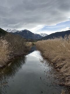
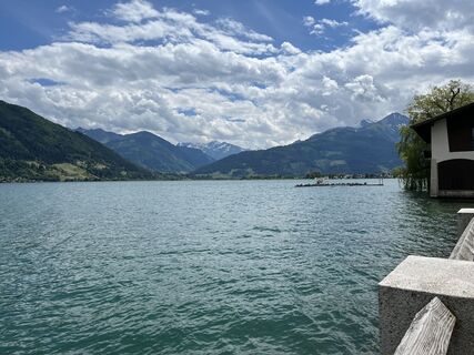
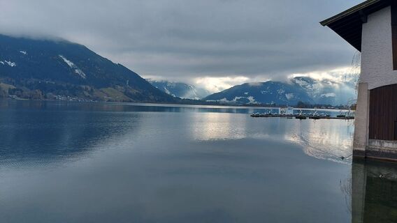
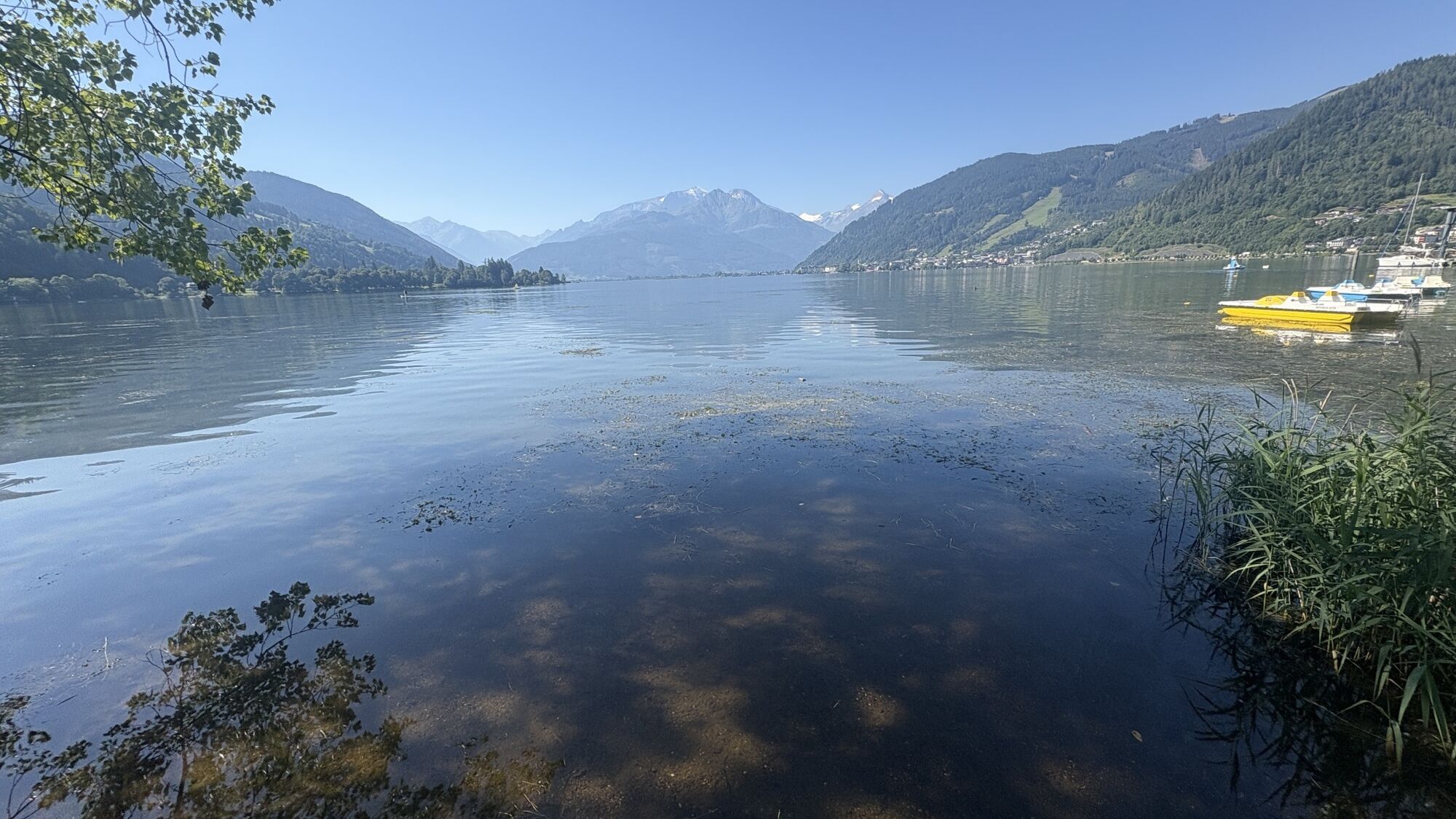
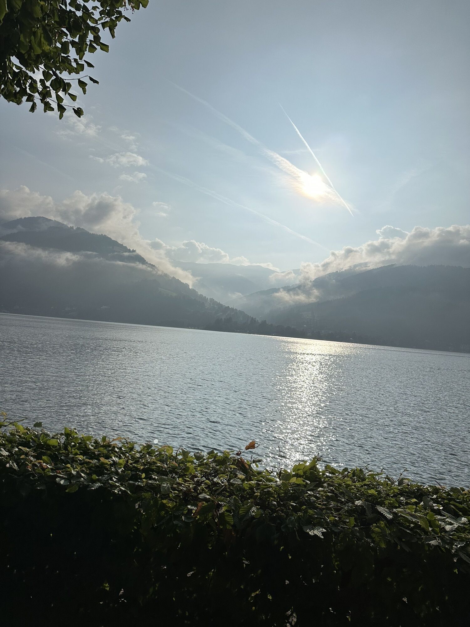
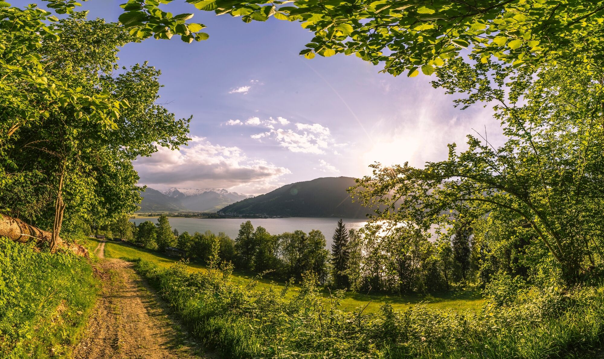
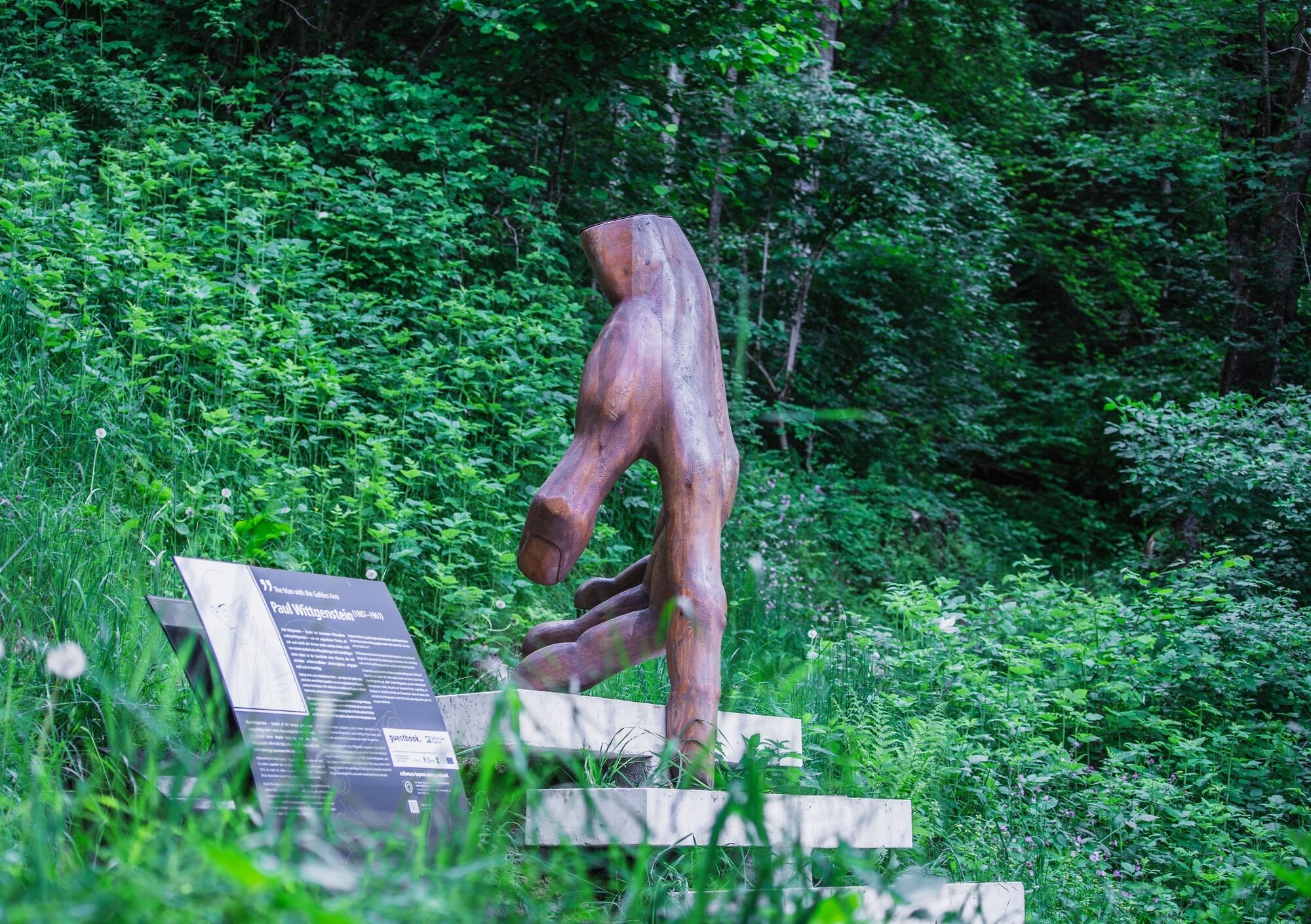
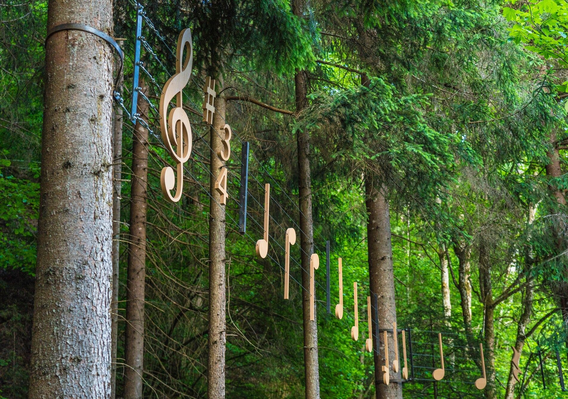
If you do not walk down to the lake, in Thumersbach you turn left onto the valley road and follow it until shortly before the fire department, where you turn right towards "Enzianhütte/Höhenpromenade." After a left curve, a footpath leads off to the right towards "Erlhof." Here you are now at the beginning of the themed path "Thumersbach Höhenpromenade." This walks very nicely through the forest above Lake Zell past several sculptures and stations that feature important personalities. At a fork in the path, choose the right path towards "Erlhof" and reach an asphalt road at Grafleiten that leads downhill to a major road. Then turn left onto the road and follow it for a few minutes until you turn right between the bathing area Haus Gabi and a soccer field onto the "Seerundweg." This wonderful walking path leads through the reed belt of Lake Zell to a bridge. Over the bridge and immediately after, sharp left onto the "Rösslpromenade," which leads up to the "Porsche Reithalle." Here turn left onto a path that leads through a beautiful avenue to the viewpoint "Wiesen-Königreich." At this point, it should be mentioned that this section lies within part of the Wiesen-Königreich, a wetland area at Lake Zell, and the nature experience trail established in 2015 points out special features of this nature reserve.
After the viewpoint, turn left onto the path leading to Thumersbach Street, from which you turn right (signs Tauernradweg). Immediately thereafter, at the Trauner car dealership, a right-left swing leads to an underpass that takes you to the other side of the federal road. Here you continue along the Tauernradweg past the Shiloh Ranch to a crossroads and take the path diagonally right (do not go through the underpass), which leads along the railway line, past the sports field, to a pedestrian bridge, the "Stefan Schwaiger Steg." Then cross the bridge and turn left behind it into a small street that leads directly to the village square of Bruck an der Großglocknerstraße. At the village square, where you also find the tourism information BRUCK FUSCH | GROSSGLOCKNER, you have reached the stage end point. From here you can see the Lukas Bridge, which interestingly marks kilometer zero and thus the start of the world-famous Großglockner High Alpine Road.
Hiking shoes, backpack, sufficient fluids, possibly rain gear
Coming from the north: German Autobahn A9 from Munich
Coming from the south: A10 Tauern Autobahn
Coming from the east: A1 West Autobahn
Coming from the west: A12 Inntal Autobahn to Wörgl, then federal roads
The IC/EC train station is located in Zell am See.
Parking is available
Holiday Region National Park Hohe Tauern
Gerlosstraße 18 5730 Mittersill, Austria
Tel. +43 6562 40939 E-Mail: hohetauerntrail@nationalpark.at
Booking center & Info-Hotline Trail Angels GmbH
9821 Obervellach 15, Austria
Tel. +43 4782 93093 E-Mail: info@bookyourtrail.com
Oblíbené prohlídky v okolí
-
4.2
Schwalbenwand Nr. 80, 81, 82
středníTuristika 13.0 km -
4.8
Sigmund Thun Klamm, Klammsee, Bürgkogel
světloTuristika 4.56 km -
4.5
Sigmund Thun Klamm
světloTuristika 3.10 km -
4.9
Hochsonnberg Runde
středníMountainbike 59.8 km -
4.3
Family hike Prinzensee
světloTuristika 4.13 km -
4.4
Thumersbach, Runde um den Zeller See
světloTuristika 13.3 km -
4.7
Highlight Kitzlochklamm Classic round
středníTuristika 2.02 km -
4.2
Hundstein-Runde von Maria Alm
heavyMountainbike 44.4 km -
3.8
Maurerkogel (Top)
Turistika 10.5 km -
5.0
Leo’s play hiking trail
světloTematická stezka 4.89 km
Pěší turistika a stopování


Nenechte si ujít nabídky a inspiraci pro vaši příští dovolenou
Vaše e-mailová adresa byl přidán do poštovního seznamu.