


Queich lines - loops (entry Bellheim)
Remains of the facilities can be explored starting from the S-Bahn station "Am Mühlbuckel" (Bellheim) in two loops (west/ east). During the War of Austrian Succession (18th century), the French secured...
Remains of the facilities can be explored starting from the S-Bahn station "Am Mühlbuckel" (Bellheim) in two loops (west/ east). During the War of Austrian Succession (18th century), the French secured their Alsatian and Lotharingian lands in the Wittelsbach territory with the Queich line (fortress city Landau to Hördt on the Rhine). Traces of the line can still be found everywhere today. Flood barriers should have quickly dammed the Queich to make the line impassable for heavy military equipment.
From Bellheim: the eastern route leads variably to the high bank of the Rhine. Following the western loop brings you through the center of Bellheim to the restored fortification at the Mittelmühle (Linienstraße). The adjacent "Old Sawmill/ Middle Mill" is maintained by the cultural association, which explains the Queich line with the help of a map. Exciting information about the Queich line can also be found at: KuLaDig RLP: Queich lines in the Verbandsgemeinde Bellheim

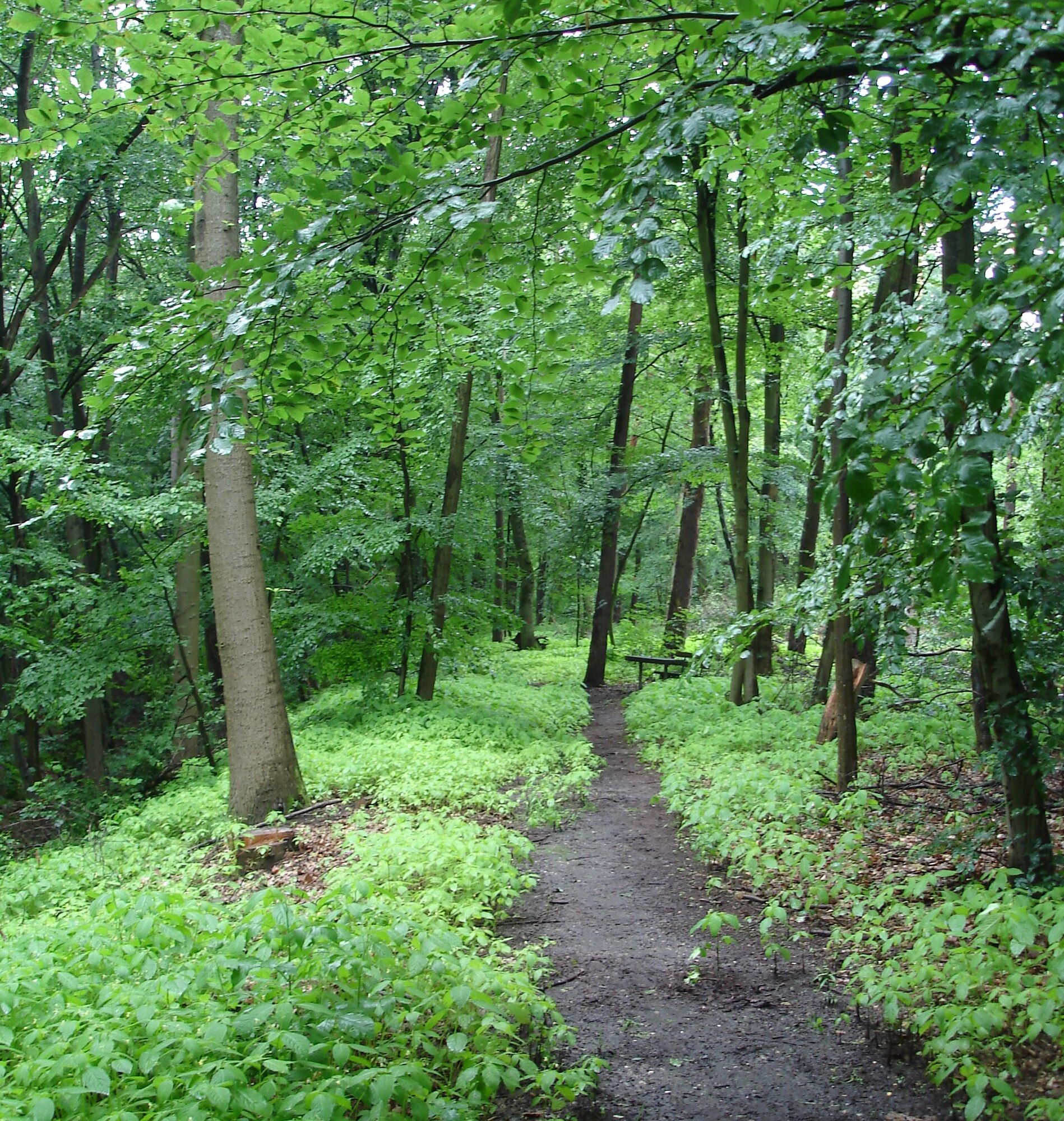
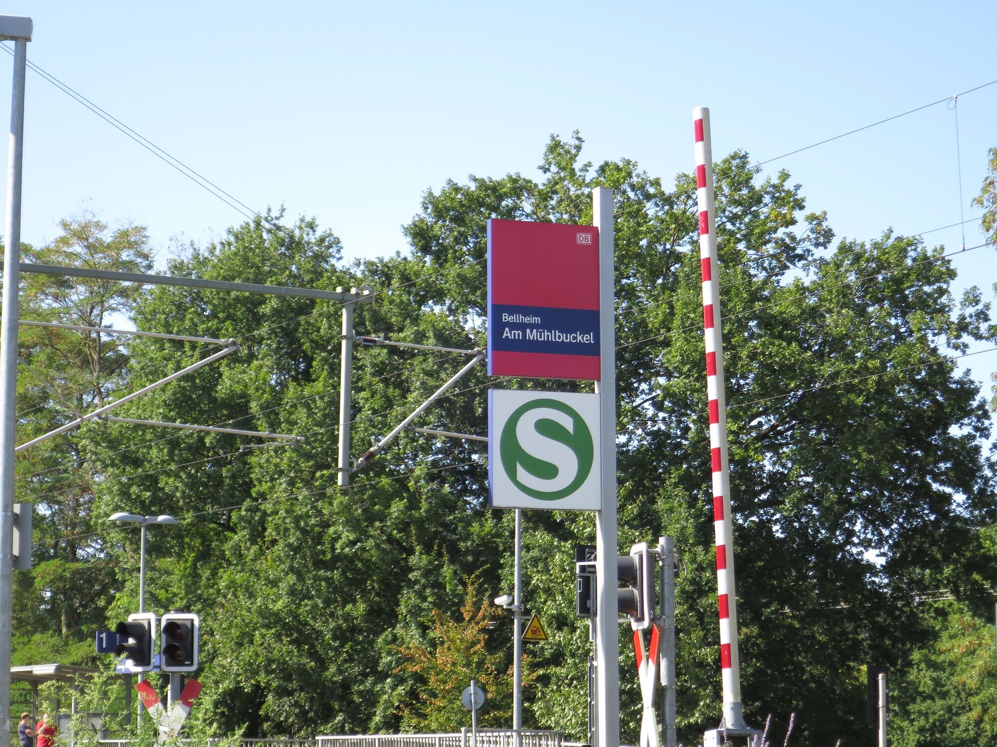

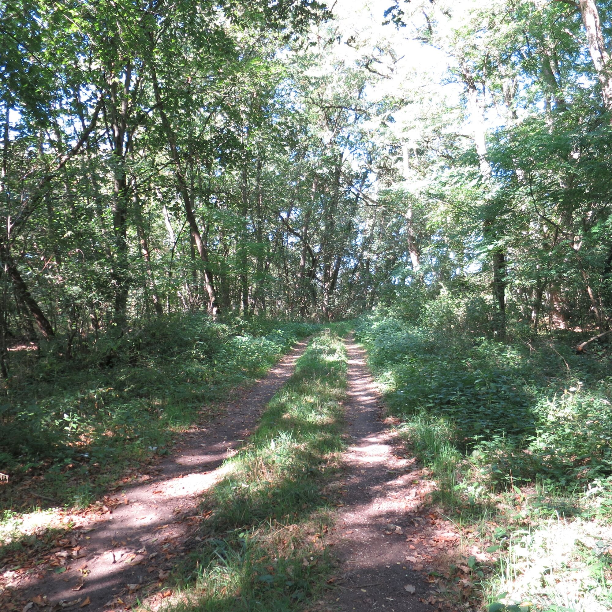
The route starts at the S-Bahn stop "Am Mühlbuckel." Here you must decide whether to first take the picturesque eastern loop on romantic paths through the forest to the high bank or rather start with the western loop through the town, which runs along the Spiegelbach park to the "Old Sawmill/ Middle Mill" with the restored fortification on Linienstraße.
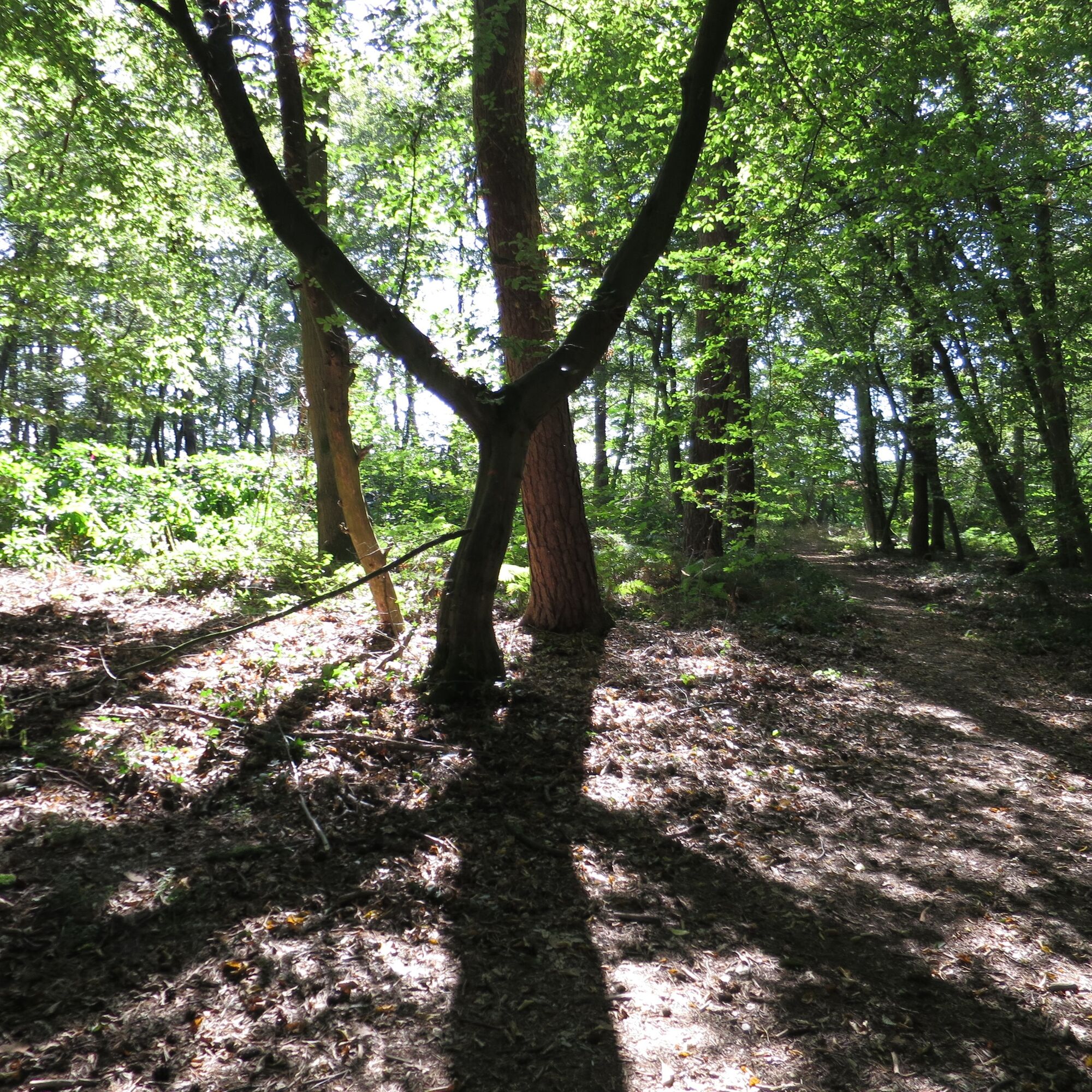
The loop through the forest offers peace in a green oasis, while the loop into town offers nice shopping opportunities, cafés, and an ice cream parlor.
Description of the eastern Queich line loop:
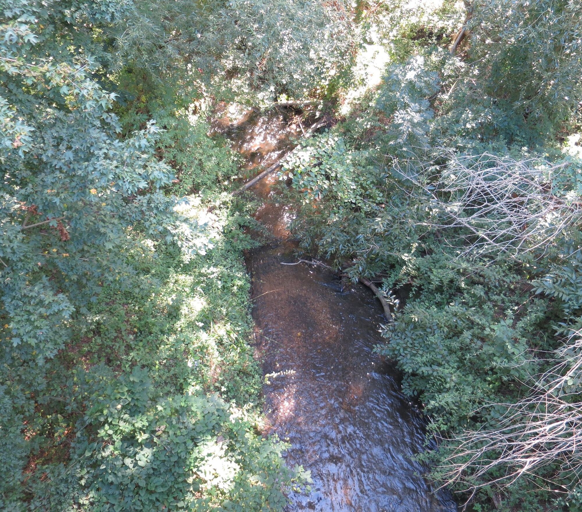
You cross the railway bed and find yourself in open countryside. The area along the Spiegelbach (an artificial branch of the Queich) was formerly dammed for defensive purposes and thus impassable for enemy soldiers with their "heavy equipment."
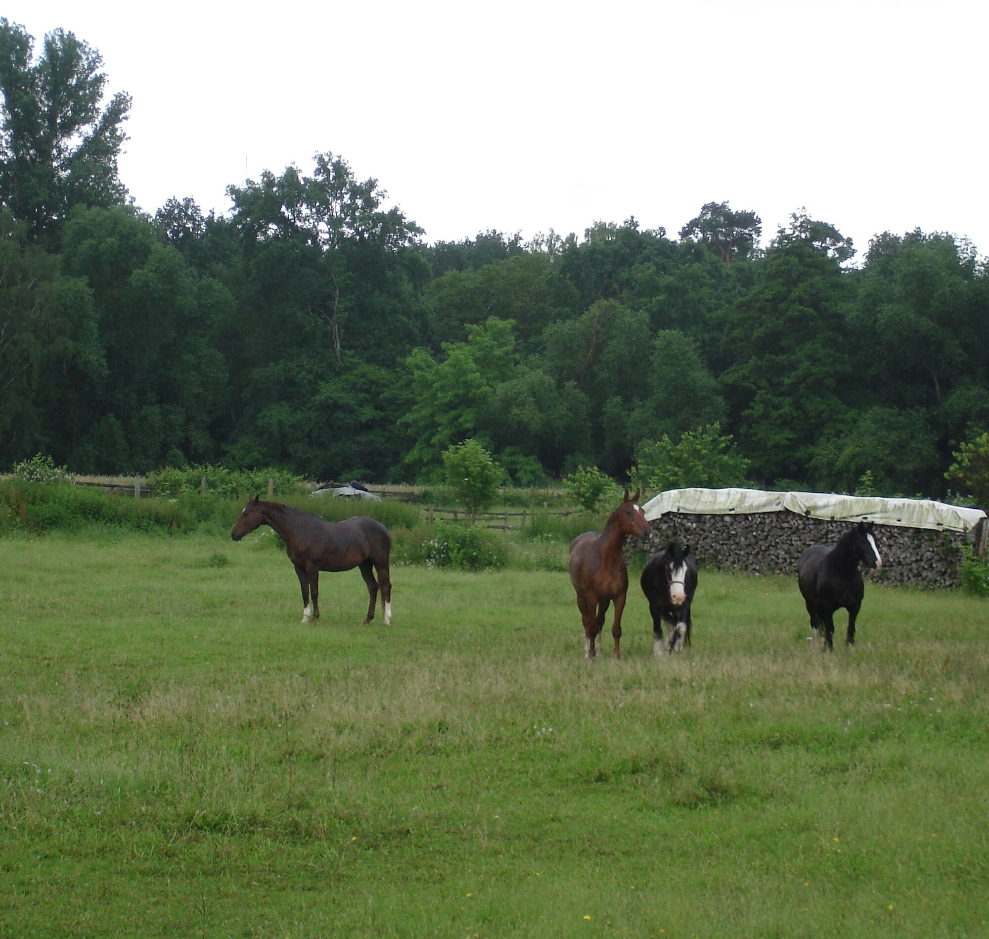
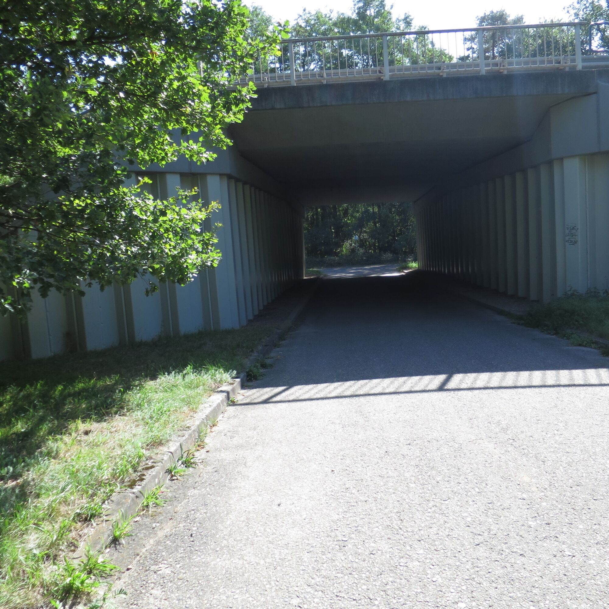
Further on are the "Herrenwiesen." The markings guide the hiker through open fields into the adjoining forest. Through an underpass, you reach the other side of the B9 (former Roman road "via renania"). The path still follows the old defense line. Where the path turns left, there is another well-preserved fortification of the Queich line from the 18th century on the right, which, however, because it is relatively overgrown, is not necessarily visible in the terrain. The terrain cut indicates this archaeological monument. From here, the loop turns west again and leads through the forest and another underpass parallel to the S-Bahn tracks back to the starting point.
Description of the western Queich line loop:
Walk forward along the street "Am Mühlbuckel" to the roundabout. From there, orient yourself to the left (please carefully cross the street!) and you will already see the entrance to the path through Spiegelbach Park (green strip). Follow this path in a straight line until, after about 600 m, you reach the other end of the park and see the blue building of the Verbandsgemeinde administration, which also houses the tourist information. Pass the administration on the left and reach the lower parking lot. On the left side, a path opens over a bridge. Follow this path with Spiegelbach on your left until you pass the elementary school and reach Mittelmühlstraße. You will see the open area with the restored fortification. It is, not entirely coincidentally, located at the corner of Linienstraße/ Mittelmühlstraße. A sign at the fortification, in German and French, informs about the Queich line. To the left of the fortification grounds is the former Mittelmühle (now a private house). Following Mittelmühlstraße over the bridge, on the right you will see the Old Sawmill, where today the Bellheim cultural association organizes events and exhibitions and preserves the heritage of the Queich line.
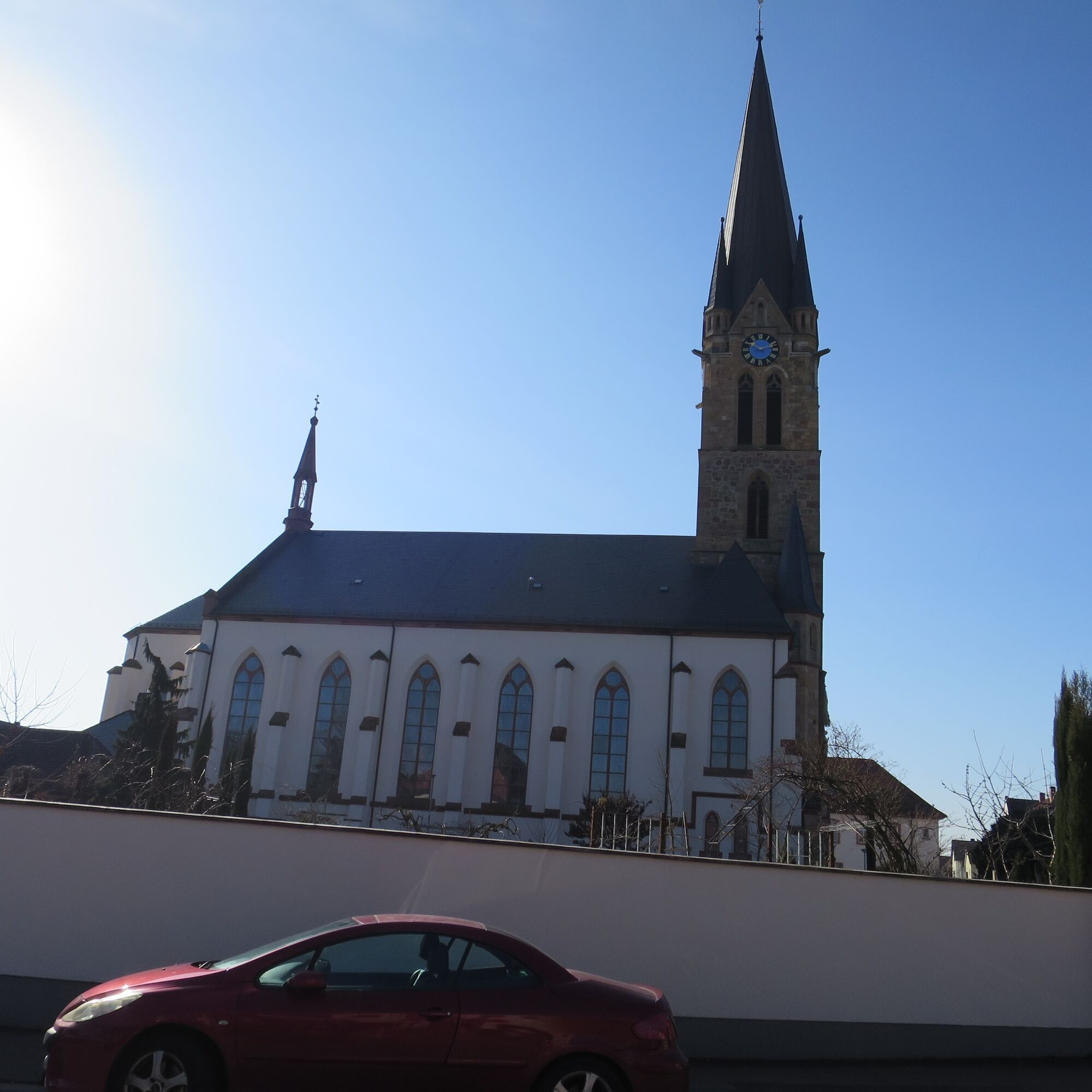
The narrow footpath extension leads to Hintere Straße. There, turn right and walk ahead to Zeiskamer Straße (Sparkasse bank). The tower of the prominent Catholic church, dedicated to Saint Nicholas, is clearly visible. Here, go left a few meters further to Hauptstraße, which is the lively shopping center with dining options in Bellheim. Turn left here. At house number 140, you will see the beautifully renovated community center (for events) of Bellheim. Follow Hauptstraße straight ahead until you reach the S-Bahn station "Hauptbahnhof Bellheim." On the other side of the tracks, a path runs left parallel to the tracks back to the starting point, the S-Bahn station "Am Mühlbuckel."
Especially in summer, take care to protect your legs and arms from tick bites and midge stings. There is an increased risk of windthrow in the forest during wind and storms!
The eastern loop leads on narrow paths through the forest and a nature reserve. Please do not leave the paths, do not leave any trash, always keep dogs on a leash, and do not enter the forest during windy weather due to the increased risk of windthrow!
From North/ West: B 272 from Landau-Germersheim via Hochstadt roundabout, L 540 towards Zeiskam/ Bellheim. In Bellheim at Nord roundabout, take the third exit into Postgrabenstraße. Go straight through Postgrabenstraße. At the end, at the roundabout (2nd exit), turn into the street "Am Mühlbuckel." After about 30 m you will find the KVV S-Bahn station with the same name. There are free parking spaces on the left-turning street. Covered bicycle stands are also available.
From South/ East: B9 from Wörth/ Karlsruhe, exit "Bellheim Nord" via L 539 or L 538 coming from Westheim into the 2nd roundabout (3rd exit) into the street "Am Mühlbuckel." After about 30 m is the KVV S-Bahn station of the same name (starting point for the two loops). Free parking is also available on the left-turning street there. Covered bicycle stands are also available.
VRN bus: Line 550 (Landau - Germersheim) and line 552 Landau - Rheinzabern. The starting point for this route can be the restored fortification in Bellheim.
KVV - S-Bahn lines S5/ S51/ S52 (Karlsruhe/ Wörth - Germersheim) to the S-Bahn stop "Am Mühlbuckel." From here you decide either for the loop in the forest or into the town center of Bellheim.
Good, free parking is available on the street that turns left shortly before the S-Bahn station (Am Weidensatz).
Südpfalz-Tourism Verbandsgemeinde Bellheim e.V.
Schubertstraße 18, 76756 Bellheim
Tel.: 0 72 72 / 70 08 - 103
Fax. 0 72 72 / 70 08 - 555
Tourismus@vg-bellheim.de
http://www.suedpfalz-tourismus-vg-bellheim.de/
Remains of the former fortifications (between Landau-Hördt) are accessible in the Verbandsgemeinde Bellheim in two loops each, either from Bellheim or Knittelsheim.
Oblíbené prohlídky v okolí
-
3.5
Treidlerweg
světloTuristika 12.5 km -
Winzer circular cycling route
středníJízda na kole 42.4 km -
Veloroute Rhine (Speyer-Karlsruhe)
heavyCyklistika na velkou vzdálenost 105.4 km -
Rheinzabern - Otterbachbruchweg: Quality Route Wanderbares Deutschland - Dream Route
středníTuristika 8.81 km -
Rhine Cycle Path - EuroVelo15 | Palatinate
světloCyklistika na velkou vzdálenost 119.7 km -
4.0
Am Hafen von Wörth.
středníTuristika 7.23 km -
Stork Route
středníJízda na kole 39.1 km -
Picnic route around Herxheim
středníJízda na kole 36.4 km -
Bellheim - Nordic Walking Park - route 5
středníNordic Walking 10.5 km -
Knöringer blackbird trail
světloTuristika 3.94 km

Pěší turistika a stopování


Nenechte si ujít nabídky a inspiraci pro vaši příští dovolenou
Vaše e-mailová adresa byl přidán do poštovního seznamu.