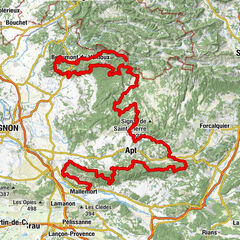
Long Distance Mountain Bike Trail, Stage 4 – From Aurel to Saint-Saturnin-les-Apt

Mountainbike

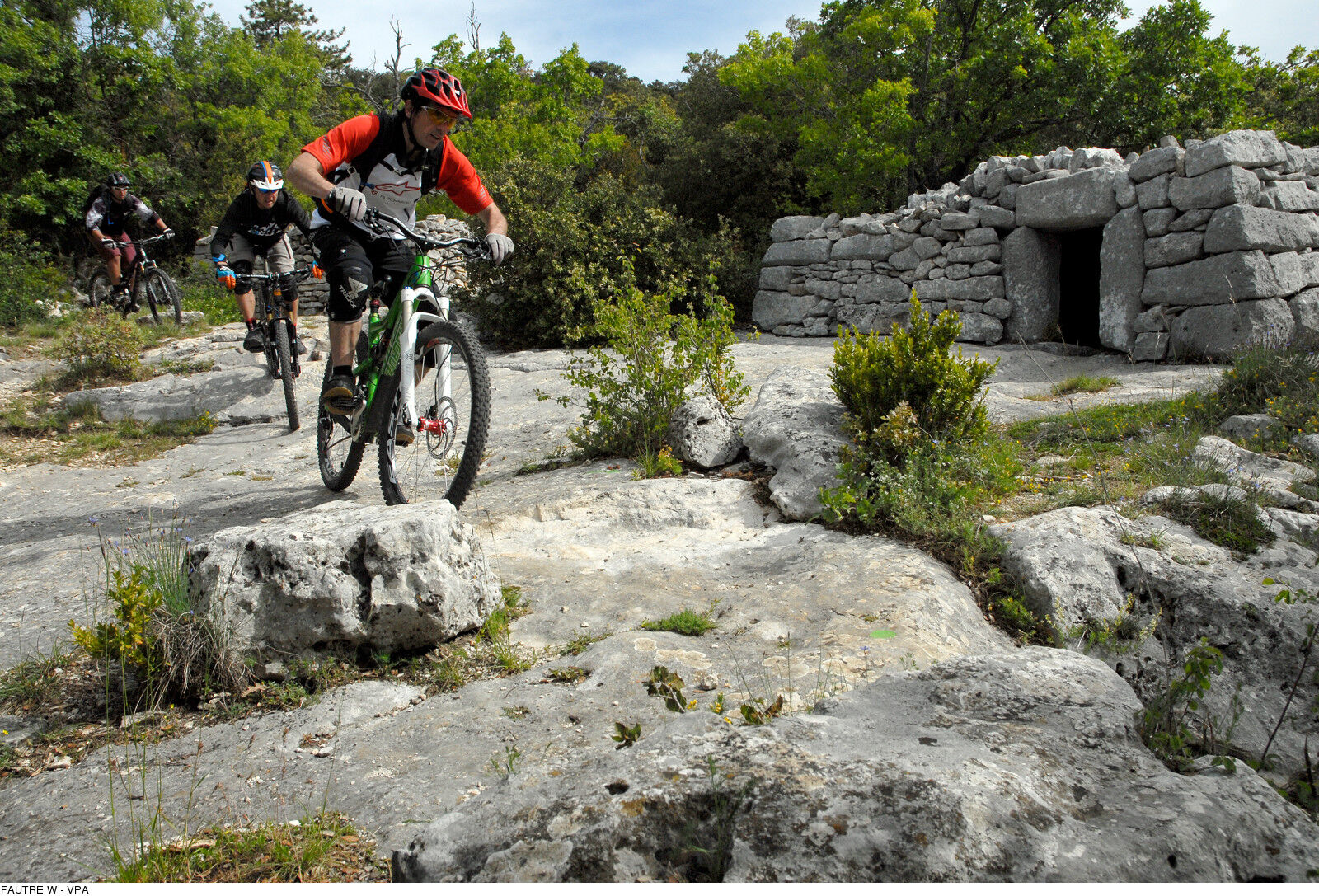
© W. Fautre

© W. Fautre

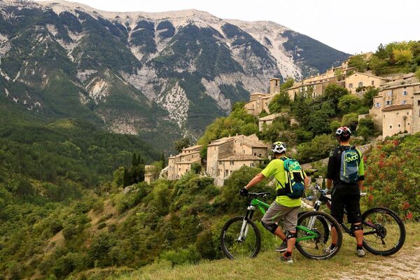
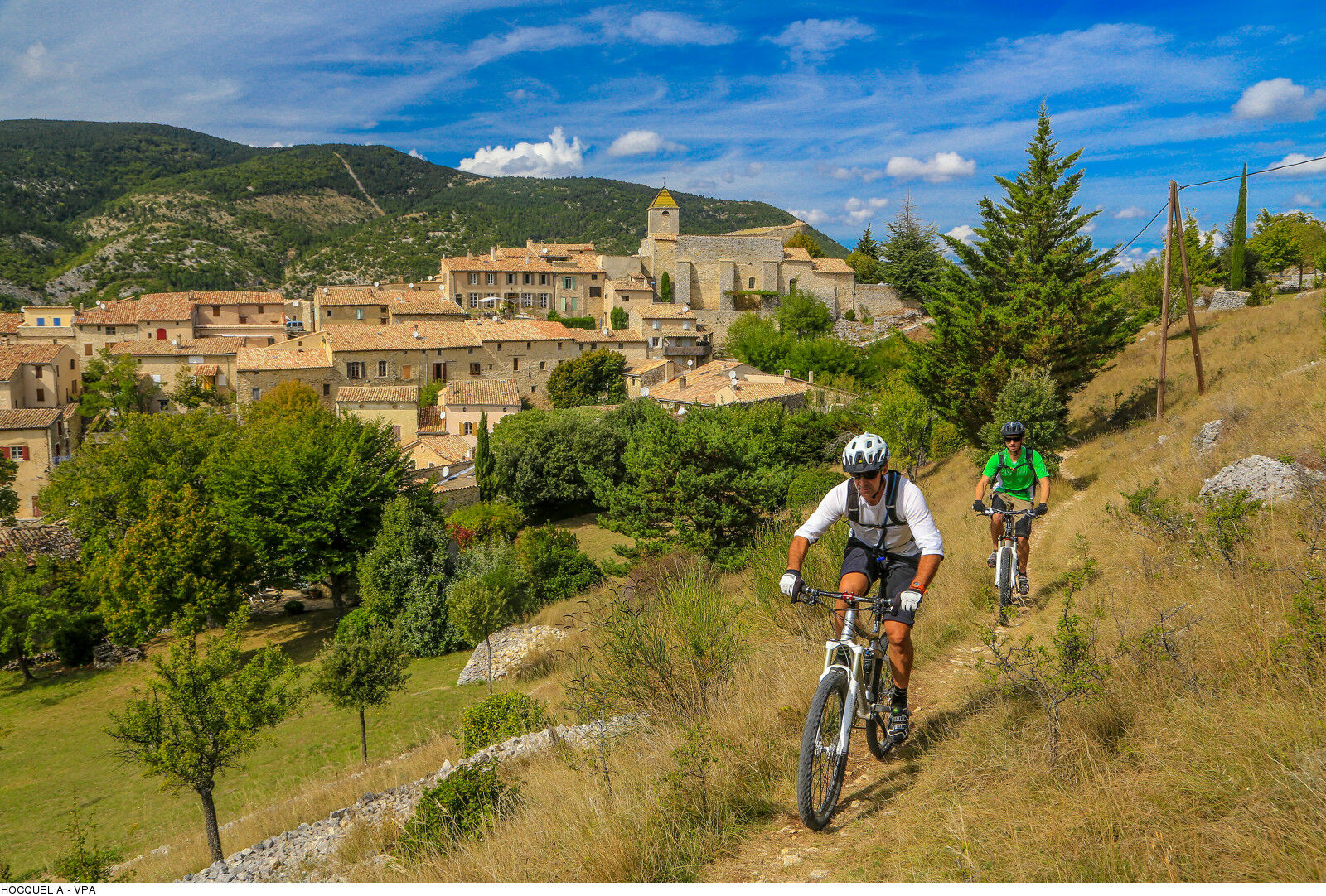
© A. Hocquel

- Stručný popis
-
Distance: 53,9km - Elevation: D+1015m - D-1402m - Departure: Parking d'Aurel.
Discover the lavender expanse of the Sault Plateau and dive into the gorges of the Nesque, before climbing up the Monts de Vaucluse between exquisite stone water basins and borie villages! - Obtížnost
-
těžké
- Hodnocení
-
- Trasa
-
AurelÉglise Saint-Aurèle0,0 kmAven du Deffends2,0 kmPicnic5,7 kmSault6,0 kmLa Loge7,5 kmLe Grand Vallat10,2 kmMonieux12,6 kmÉglise Saint-Pierre12,7 kmLes Lavandes12,7 kmAyguier de Travignon (950 m)43,1 kmTravignon43,4 kmSaint-Saturnin-lès-Apt52,8 km
- Nejlepší sezóna
-
ledúnobředubkvěčenčecsrpzářříjlispro
- Nejvyšší bod
- 1.004 m
- Cílová destinace
-
Saint-Saturnin-lès-Apt
- Výškový profil
-
 © outdooractive.com

- Autor
-
Prohlídka Long Distance Mountain Bike Trail, Stage 4 – From Aurel to Saint-Saturnin-les-Apt používá outdooractive.com na adrese ..
GPS Downloads


Další výlety v regionech
-
Vaucluse
99
-
Ventoux Sud
57