


CUMIANA Amphitheater Path
The proposed route here is a shortened version compared to the original itinerary, more suitable for hikers. This does not prevent the entire original route from being completed on foot with good training...
The proposed route here is a shortened version compared to the original itinerary, more suitable for hikers. This does not prevent the entire original route from being completed on foot with good training and endurance.
Itinerary provided by the CAI of Cumiana.

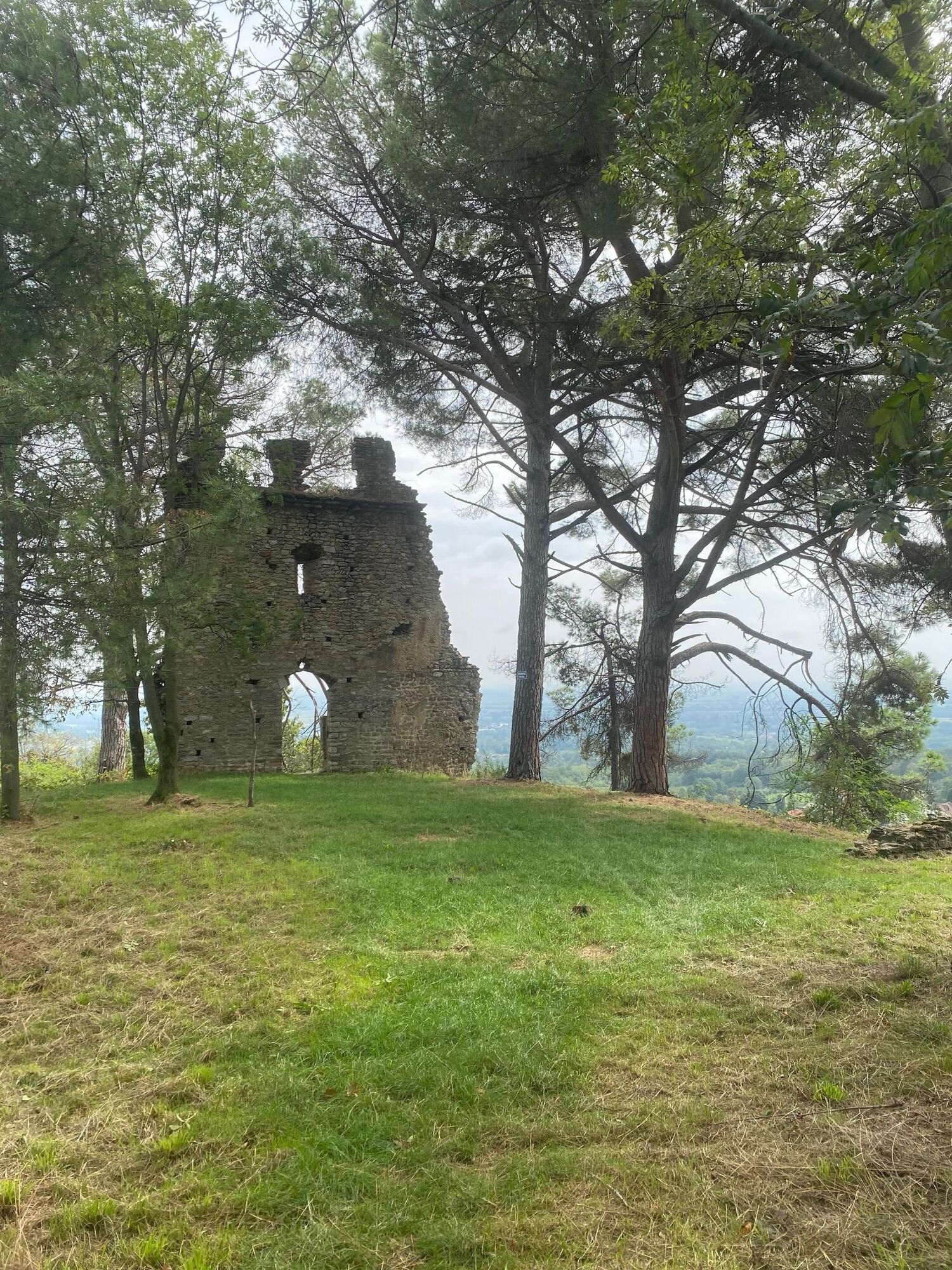
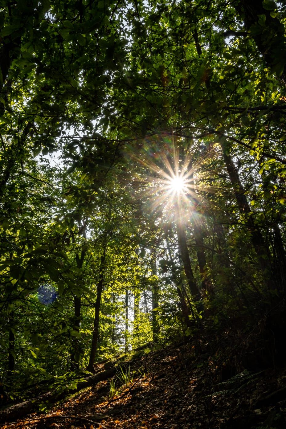
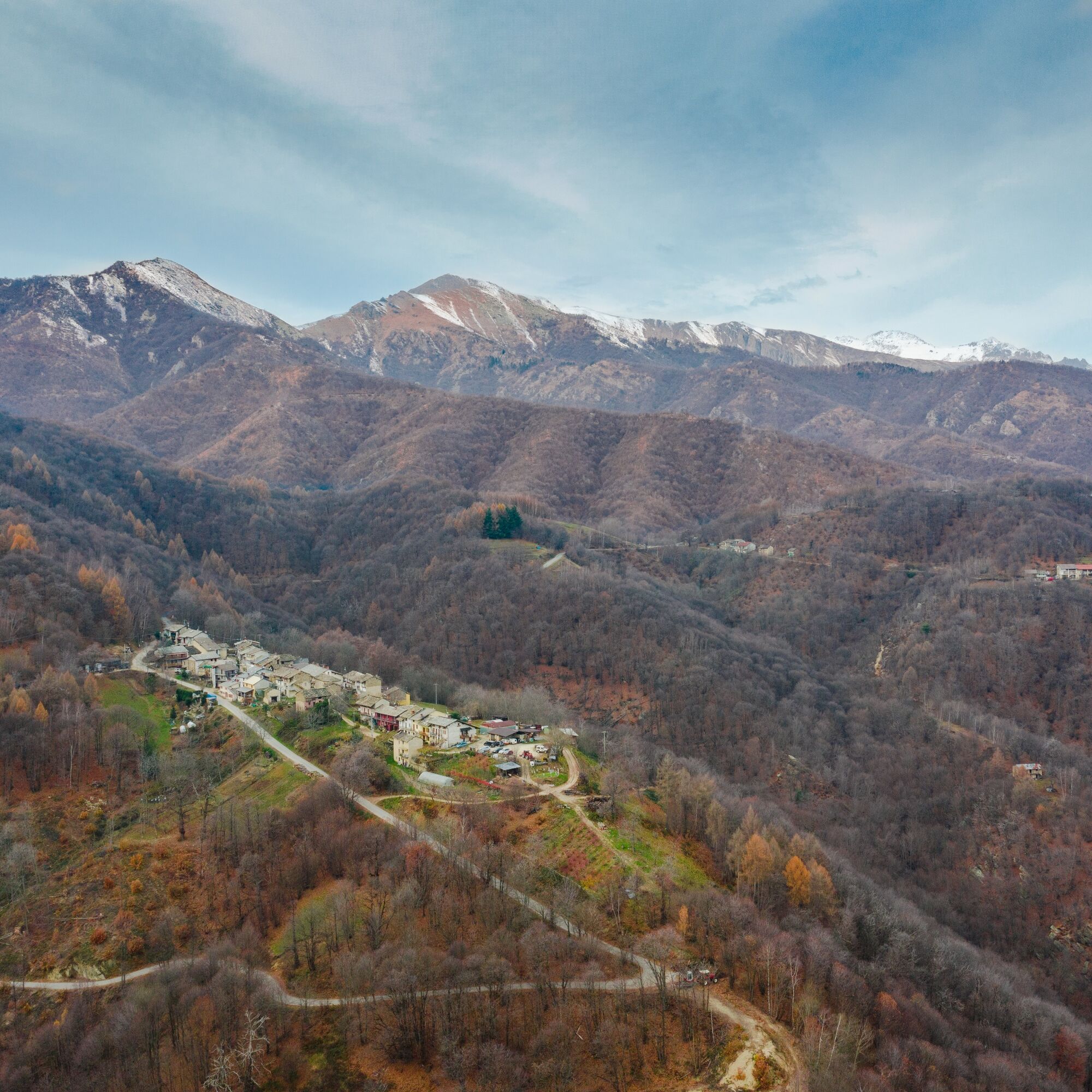
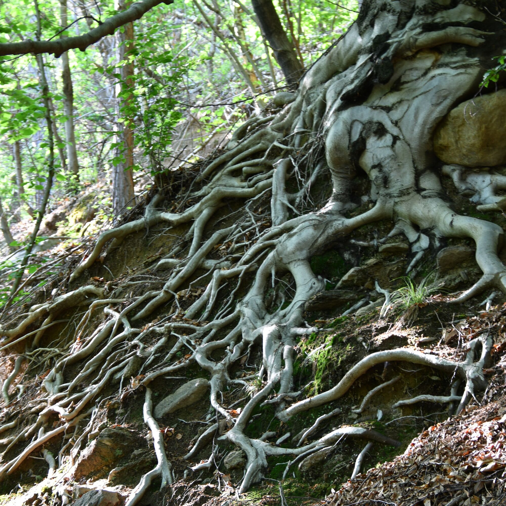
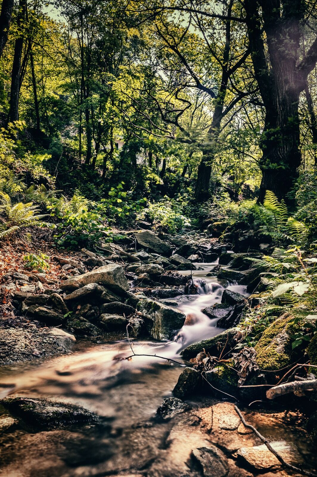
Starting from piazza Martiri 3 aprile in the town center and taking via Chisola, immediately turn left onto via Pontera, a road that then becomes a path climbing towards the hamlets of Tricca, Franchini, and Berga. From here, a long section on gentle slopes first leads to Canalassa (fountain) and then to the Roch Uss hill (monolith). Continuing, you go around the Truc le Creste on the north side to reach the Colletta di Cumiana (chapel). Upon reaching the Fiola hamlet, a long stretch of ups and downs begins, crossing several characteristic mountain hamlets on the borders of the Monte Tre Denti and Freidour Natural Park, covering much of the mountain arc and touching important historical sites such as the ruins of the ancient castle (Costa district), the millenary bell tower (S. Gervasio hamlet), and the sanctuary of S. Valeriano. A final, flatter stretch of road leads back to the town center.
Ano
Wear clothing and footwear suitable for the environment and the season.
There are no refreshment points along the route, so it is necessary to carry water and food with you.
Particular attention is required at the detours.
Getting to Cumiana is easy: from the Turin ring road follow the signs for Pinerolo and then Cumiana.
The center of Cumiana can be reached by GTT buses www.gtt.to.it
There are several public parking lots in the center of Cumiana.
- Before undertaking any hike, it is recommended to consult weather bulletins or ask for information at local Tourist Offices.
- It is good practice not to hike alone and always inform someone of your destination.
- Do not litter the environment but carry waste with you, possibly collecting any left by others.
- The reported travel times are indicative and can vary according to weather conditions and personal abilities.
Oblíbené prohlídky v okolí
-
Avigliana Lakes - Easy route, ideal for families with children
světloTuristika 9.25 km -
5.0
Unspoiled woods and ancient hamlets in Valsangone - Selvaggio Loop - Bagaggera
světloTuristika 9.08 km -
PINEROLO Route to Monte Muretto
středníTuristika 2.12 km -
Easy route - Monte Cuneo (Moncuni) Loop route from Reano
světloTuristika 7.97 km -
A walk in the Megalithic - The Menhirs of Pietraborga - Direct route from the Torrioni
středníTuristika 9.30 km -
4.0
The Giro dell'Orsiera G.O. Trail Stage 1: Molè - Rifugio Balma
středníTuristika 4.52 km -
PINEROLO Trail "Ecomuseum of the Charcoal Piles"
středníTuristika 7.46 km -
CUMIANA by MTB on the Amphitheater Path
středníMountainbike 32.4 km -
PRAROSTINO Circuit of the hamlets
středníMountainbike 18.1 km -
ROLETTO Upslowtour - Ring 15 Pedemontano
heavyJízda na kole 29.8 km
Pěší turistika a stopování


Nenechte si ujít nabídky a inspiraci pro vaši příští dovolenou
Vaše e-mailová adresa byl přidán do poštovního seznamu.