


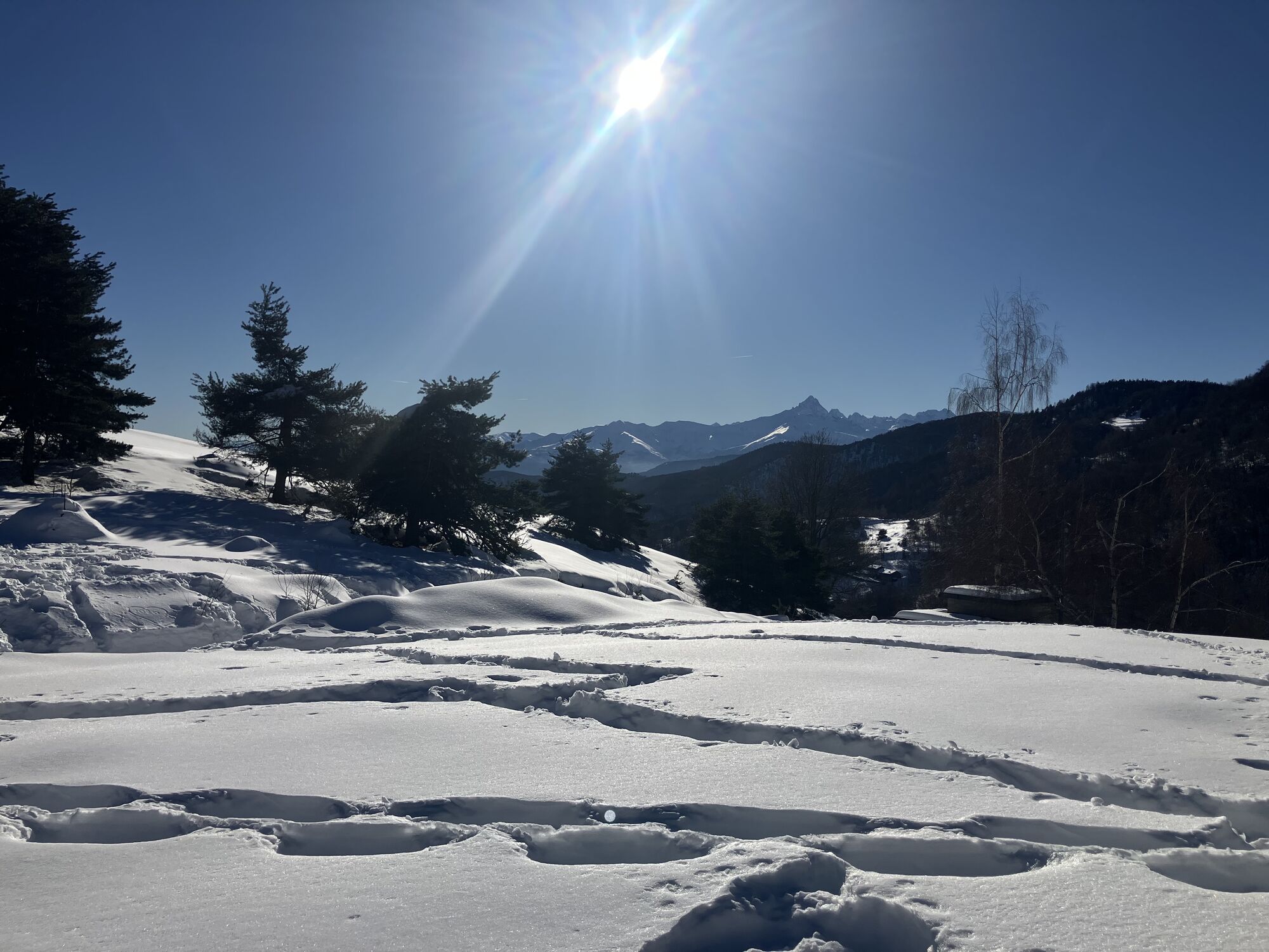
Sentiero David Bertrand: Stage 2


From Rifugio Melano you return to Colle Ciardonet, finding the track of the SDB. Bending to the right, you go up to Colle Sperina (entering the Park of Monte Tre Denti-Freidour); turning left you reach...
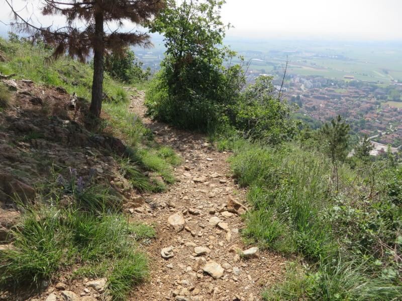
From Rifugio Melano you return to Colle Ciardonet, finding the track of the SDB. Bending to the right, you go up to Colle Sperina (entering the Park of Monte Tre Denti-Freidour); turning left you reach Colle Pra L'Abb in a few minutes, a crossroads of forest tracks. Now turn right starting the long descent to Bastianoni, where you will find a parking area and the asphalt road. Cross the road and continue on flat ground until reaching the village of Ronco. From here you resume the descent through the forest to Grange. Alternating downhill and flat stretches, you reached the equipped area of Pradera along a dirt road. Leave the area on the right and take the path on the left before the bridge. At the end of the path, which runs along a dry-stone wall, there is a carriage road. Turn left and, after a wide hairpin bend and a short ascent, you will reach the small forest barracks. A little further on, take the track that descends decisively to the right, the end of which goes onto the asphalt road. Turn left and follow it until the first crossroads. Go up to the left reaching the village of Raimondi, cross it and take the path on the left that leads to Dagheri. Follow the road upstream of the village, arriving at the next one named Canali Alti. About 100 m downstream of the later, the road bends to the right; at this point leave the asphalt road and follow the path on the left, finally reaching the village of Fiola, where the road descends to Colletta di Cumiana. On the opposite side, a long hillside forest track leads into the woods, first passing Colle del Teit, then Colle Frascl; after about 500 m from the latter, leave the forest track and go up the path on the right, reaching Colle di Damone, where a dirt road descends to Trana. Pass it and continue up a moderate climb until you reach a wooded ridge that leads to the panoramic rocky balcony of Pera Luvera. Now the path descends rather steeply, with some zigzags, ending on the dirt road that goes from the hamlet of Campetto di Piossasco up to Colle del Pr; turn left and reach the Colle, entering Parco del Monte S. Giorgio. Go past a fence on the right and, at first along the flat, then downhill, you reach the path junction of the Croce dei Castelli. Keeping constantly to the right, you finally descend to Piossasco, in the locality of Casa Martignona.

The Rocca Sbarua climbing wall, used by mountaineers, is located near Rifugio Giuseppe Melano "Casa Canada". The cliff has over 100 climbing routes, varying in length from 20 to 200 metres, with different degrees of difficulty.
Oblíbené prohlídky v okolí
-
Avigliana Lakes - Easy route, ideal for families with children
světloTuristika 9.25 km -
CASELETTE - Monte Musiné
středníTuristika 7.52 km -
5.0
Unspoiled woods and ancient hamlets in Valsangone - Selvaggio Loop - Bagaggera
světloTuristika 9.08 km -
PINEROLO Route to Monte Muretto
středníTuristika 2.12 km -
Easy route - Monte Cuneo (Moncuni) Loop route from Reano
světloTuristika 7.97 km -
A walk in the Megalithic - The Menhirs of Pietraborga - Direct route from the Torrioni
středníTuristika 9.30 km -
4.0
The Giro dell'Orsiera G.O. Trail Stage 1: Molè - Rifugio Balma
středníTuristika 4.52 km -
PINEROLO Trail "Ecomuseum of the Charcoal Piles"
středníTuristika 7.46 km -
CUMIANA by MTB on the Amphitheater Path
středníMountainbike 32.4 km -
ROLETTO Upslowtour - Ring 15 Pedemontano
heavyJízda na kole 29.8 km

Pěší turistika a stopování


Nenechte si ujít nabídky a inspiraci pro vaši příští dovolenou
Vaše e-mailová adresa byl přidán do poštovního seznamu.